The best gravel rides around Lutzenberg
4.8
(42)
376
riders
25
rides
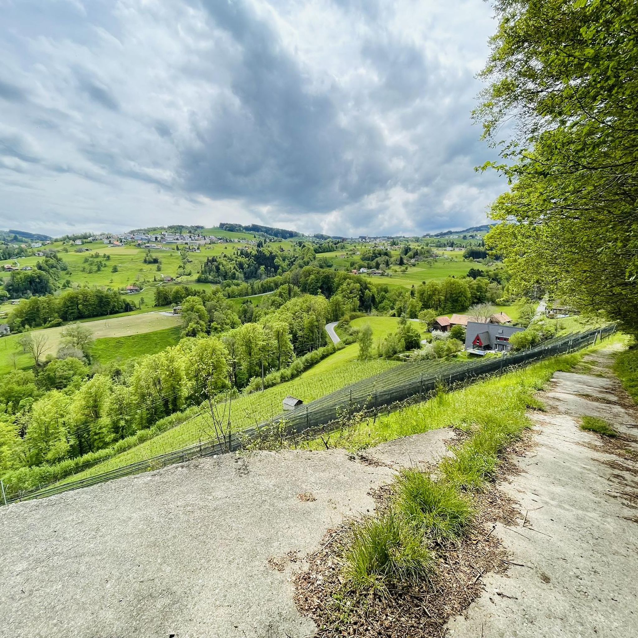
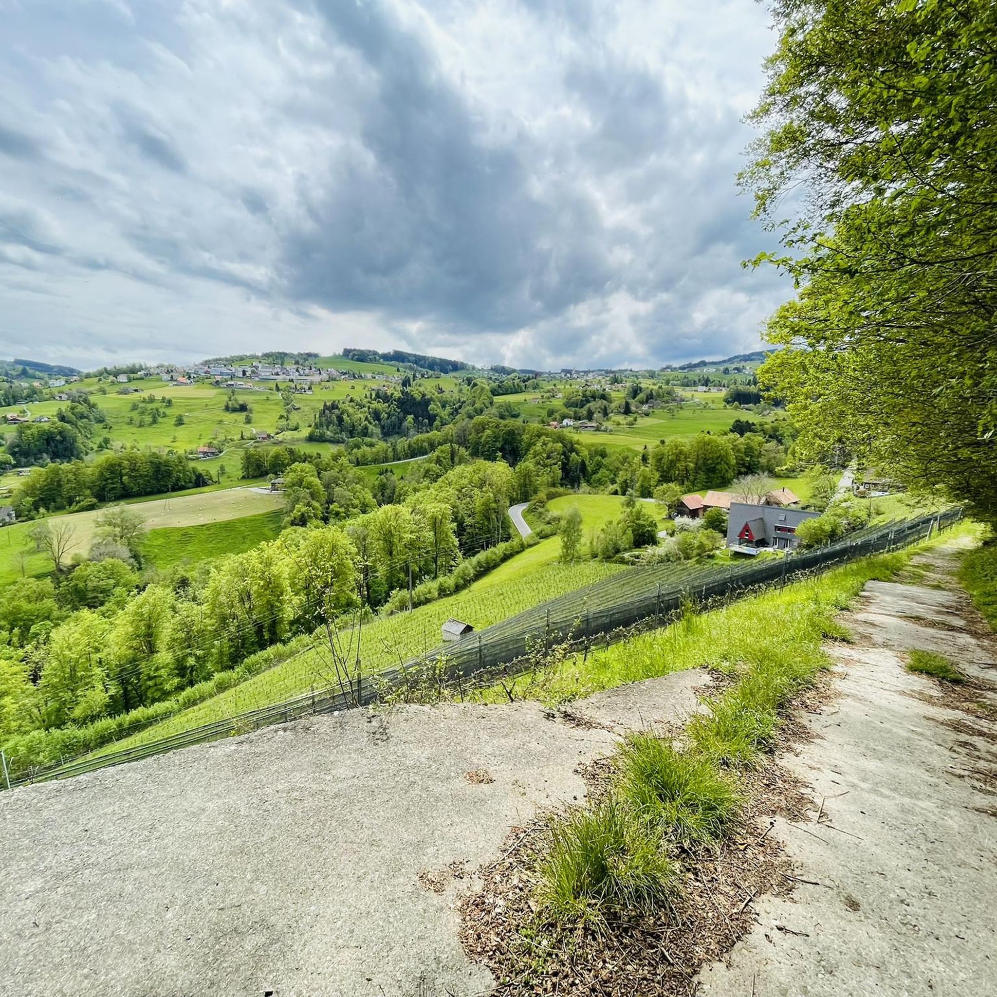
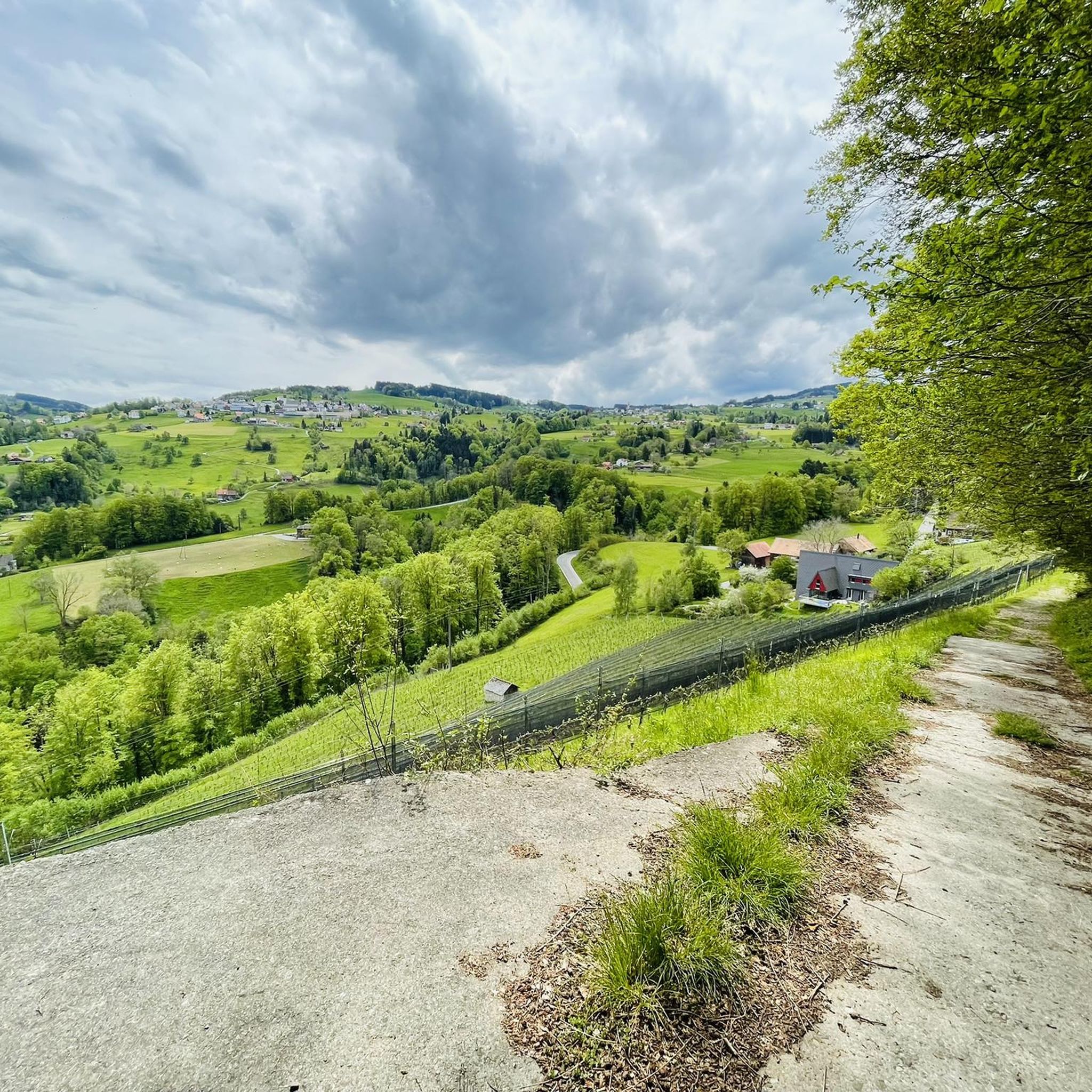
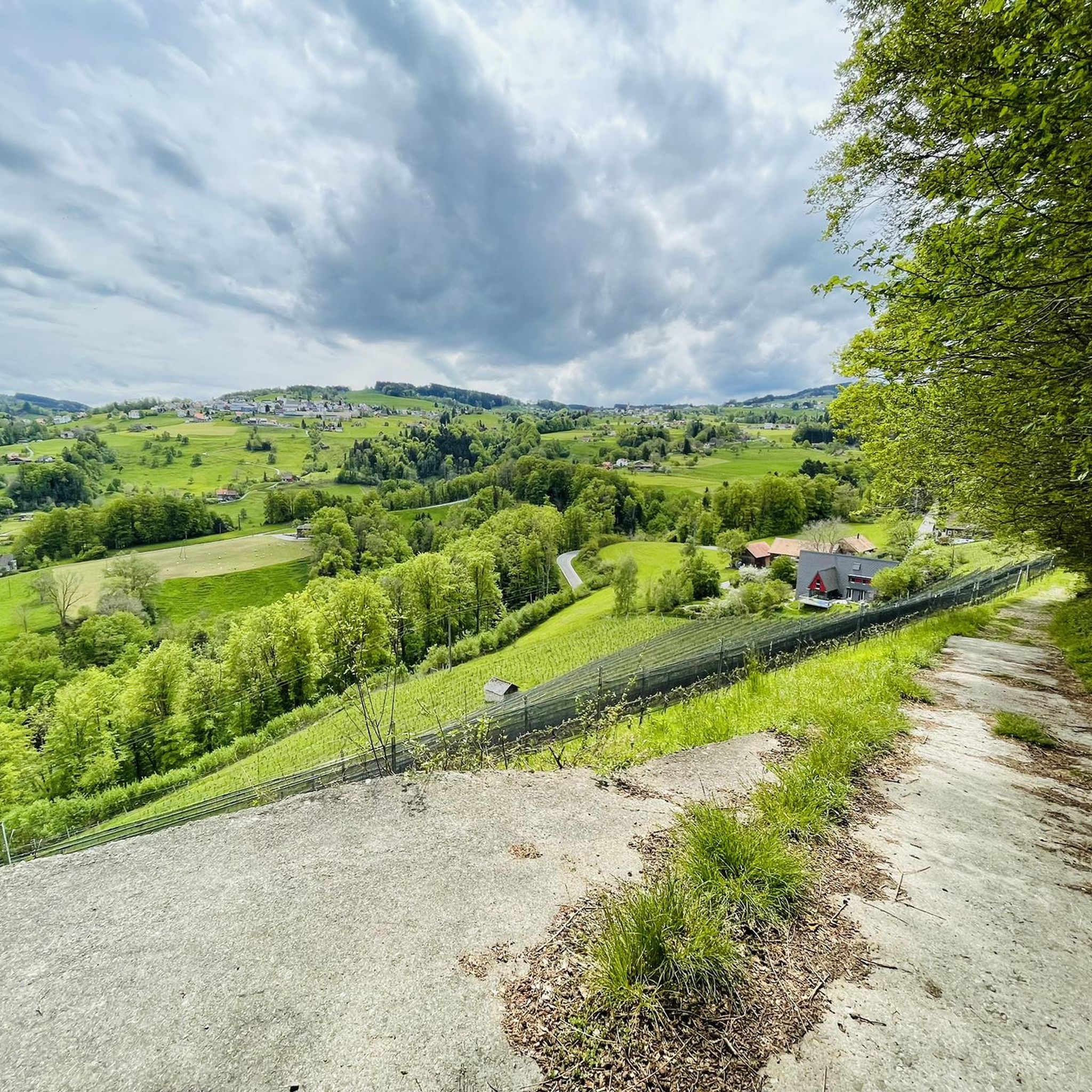
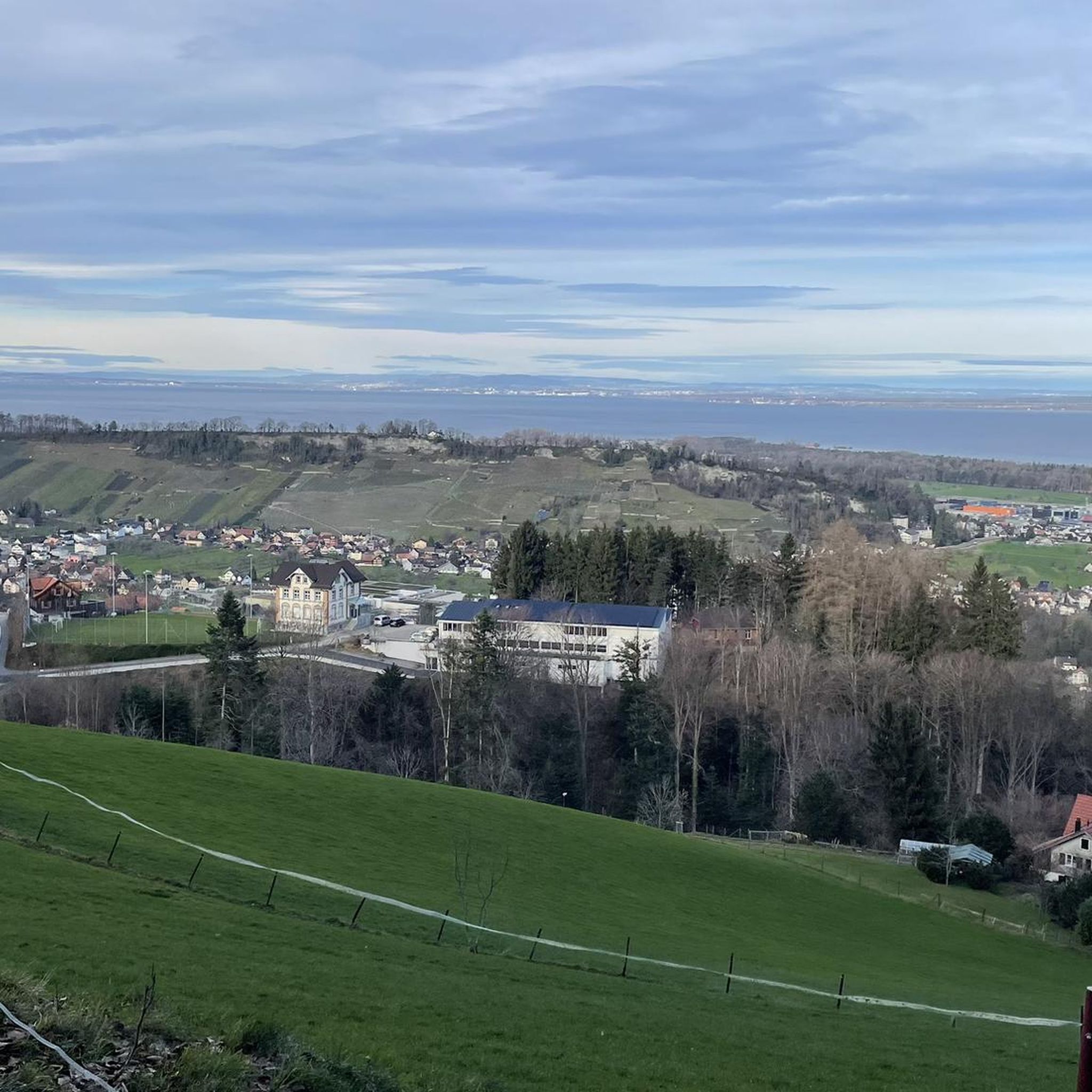
Gravel biking around Lutzenberg offers a diverse landscape characterized by varied terrain and panoramic views. The region features rolling hills, forested areas, and agricultural lands, providing a mix of challenges for gravel bikers. Routes often traverse vineyards, an extensive network of dirt tracks, and unsurfaced roads, moving away from paved surfaces. This topography, combined with views over Lake Constance and the Rhine Valley, defines the gravel biking experience in the area.
Best gravel bike trails around Lutzenberg
- The most popular gravel bike trail is Illspitz mouth of the Rhine – Rhein River Pathway loop from Au SG, a 43.3 miles (69.7 km) trail that takes 3 hours 22 minutes to complete. This moderate route follows the Rhine River Pathway, offering extensive views of the valley.
- Another top favourite among local gravel bikers is Rhein River Pathway – Rheindamm Path loop from Rheineck, a moderate 46.3 miles (74.4 km) path. This route explores the Rheindamm Path, known for its tranquil sections and views along the river.
- Local gravel bikers also love the View of Lake Constance – Trail Along the Stream loop from Rheineck, a 17.5 miles (28.2 km) trail leading through varied hilly terrain with views of Lake Constance, often completed in about 2 hours 8 minutes.
- Gravel biking around Lutzenberg is defined by views of Lake Constance and the Rhine Valley, varied hilly terrain, and an extensive network of dirt tracks. The network offers options for different ability levels, from easy paths to more challenging ascents.
- The routes in Lutzenberg are highly rated by the komoot community with an average score of 4.8 stars from over 40 reviews. More than 300 gravel bikers have used komoot to explore Lutzenberg's varied terrain.
Last updated: May 21, 2026
5.0
(11)
92
riders
87.7km
04:13
180m
180m
Moderate gravel ride. Good fitness required. Mostly paved surfaces. Suitable for all skill levels.
4.7
(13)
66
riders
69.7km
03:22
110m
110m
Moderate gravel ride. Good fitness required. Mostly paved surfaces. Suitable for all skill levels.

Sign up for free
4.3
(3)
50
riders
74.4km
03:34
130m
130m
Moderate gravel ride. Good fitness required. Mostly paved surfaces. Suitable for all skill levels.
5.0
(2)
13
riders
49.2km
03:17
960m
960m
Hard gravel ride. Very good fitness required. Mostly paved surfaces. Suitable for all skill levels.
9
riders
28.2km
02:08
700m
700m
Hard gravel ride. Very good fitness required. Mostly paved surfaces. Suitable for all skill levels.
Get access to more routes and recommendations from other explorers.
Sign up for free
Already have an account?
Our route recommendations are based on thousands of hikes, rides, and runs completed by other people on komoot.
Start today with a free account
Your next adventure awaits.
Login or Signup
Tips from the Community

Very beautiful view of the entire Lake Constance
0
0

currently total closure due to renovation. Also for CYCLING AND pedestrian traffic!! March-April-May-until?? 2026
0
0

Right next to the motorway, therefore a lot of noise and microparticles. In headwinds, you are also very exposed on the dam. Ideal for muscle-bound people
0
0

Basic but excellent pedestrian/cyclist bridge to avoid the bridge with motor vehicles.
0
0

The historic Wartensee Castle, dating from the 13th century, is located on the Rorschacherberg hill. It also features a historic chapel, and the castle itself houses a Gothic hall. From the beautiful garden terrace, one has a breathtaking panoramic view of Lake Constance.
2
0

Sooo much nature here!
0
0

A very pristine, wild valley! It's definitely worth choosing this route.
0
0

Old Rhine Bridge Liechtenstein/Switzerland
1
0
Frequently Asked Questions
How many gravel bike trails are available around Lutzenberg?
Lutzenberg and its surroundings offer over 50 gravel bike trails, catering to various skill levels. You'll find a diverse mix of easy, moderate, and challenging routes to explore the region's unique landscapes.
What kind of terrain can I expect on gravel bike routes in Lutzenberg?
The terrain around Lutzenberg is quite varied, featuring gentle hills and more demanding ascents. Routes often traverse through vineyards, diverse forests, and an extensive network of dirt tracks and unsurfaced roads, providing a true gravel biking experience away from paved surfaces.
Are there any easy gravel bike trails suitable for beginners or families?
Yes, there are several easy routes. For a relatively flat and scenic ride, consider the Rhine Delta Nature Reserve – Polderdamm Path in the Rhine Delta loop from Gaißau. This 24.4 km trail takes about 1 hour 31 minutes and leads through the tranquil Rhine Delta Nature Reserve.
What are the best routes for panoramic views of Lake Constance and the Rhine Valley?
Many routes in the Lutzenberg area offer stunning views. The region is known for its strategic position overlooking Lake Constance and the Rhine Valley. While specific routes vary, look for trails that ascend into the hills or follow ridgeways to maximize these vistas. The View of Lake Constance – Trail Along the Stream loop from Rheineck is a challenging option that delivers on scenic rewards.
What do other gravel bikers say about the trails in Lutzenberg?
The gravel biking routes in Lutzenberg are highly regarded by the komoot community, boasting an average rating of 4.8 stars from over 100 reviews. More than 600 gravel bikers have explored the area, often praising the varied terrain, stunning views, and the extensive network of dirt tracks.
Are there any circular gravel bike routes around Lutzenberg?
Yes, many of the gravel bike trails in Lutzenberg are designed as loops, allowing you to start and end at the same point. Examples include the Illspitz mouth of the Rhine – Rhein River Pathway loop from Au SG and the Rhein River Pathway – Rheindamm Path loop from Rheineck, both offering extensive circular journeys.
What kind of attractions or points of interest can I find along the gravel bike trails?
Beyond the natural beauty, you can discover various points of interest. The region features several huts and mountain inns like the Untere Gäbris Mountain Inn or the Naturfreundehaus Kaien. You might also encounter scenic gorges such as the Tobelbach Gorge, adding variety to your ride.
Is Lutzenberg suitable for gravel biking with dogs?
While specific dog-friendly route designations aren't always available, the extensive network of dirt tracks and forest paths around Lutzenberg generally provides a good environment for cycling with well-behaved dogs. Always ensure your dog is accustomed to longer rides and check local regulations regarding dogs on trails, especially in nature reserves like the Rhine Delta.
What is the best time of year for gravel biking in Lutzenberg?
The varied terrain and scenic beauty of Lutzenberg make it enjoyable for gravel biking across multiple seasons. Spring and autumn offer pleasant temperatures and vibrant landscapes, while summer provides longer daylight hours. Even winter can be an option on lower-lying paths, though higher elevations might be affected by snow or ice.
Are there any challenging gravel bike routes for experienced riders?
Absolutely. Lutzenberg offers numerous difficult routes for experienced gravel bikers. For instance, the Weissenfluh Plateau – Forest Trail loop from Au SG is a demanding 49.2 km trail with significant elevation gain, providing a substantial challenge and rewarding views.
Can I reach the gravel bike trails in Lutzenberg using public transport?
Lutzenberg is part of the St. Gallen-Bodensee region, which generally has good public transport connections. Many starting points for routes, such as Au SG or Rheineck, are accessible by train or bus. It's advisable to check local public transport schedules and bike carriage policies for specific routes and times.
Where can I find parking for gravel biking in Lutzenberg?
Parking is generally available in and around the villages that serve as starting points for many gravel routes, such as Lutzenberg itself, Au SG, or Rheineck. Look for designated parking areas near train stations or public facilities. Specific parking information for individual trailheads can often be found on local tourism websites or within komoot tour details.
Most popular routes around Lutzenberg
Most popular attractions around Lutzenberg

Get inspired with the komoot mobile app


Explore more
Browse the best Gravel rides in other regions.
