The best gravel rides around Unterramsern
4.6
(25)
228
riders
36
rides
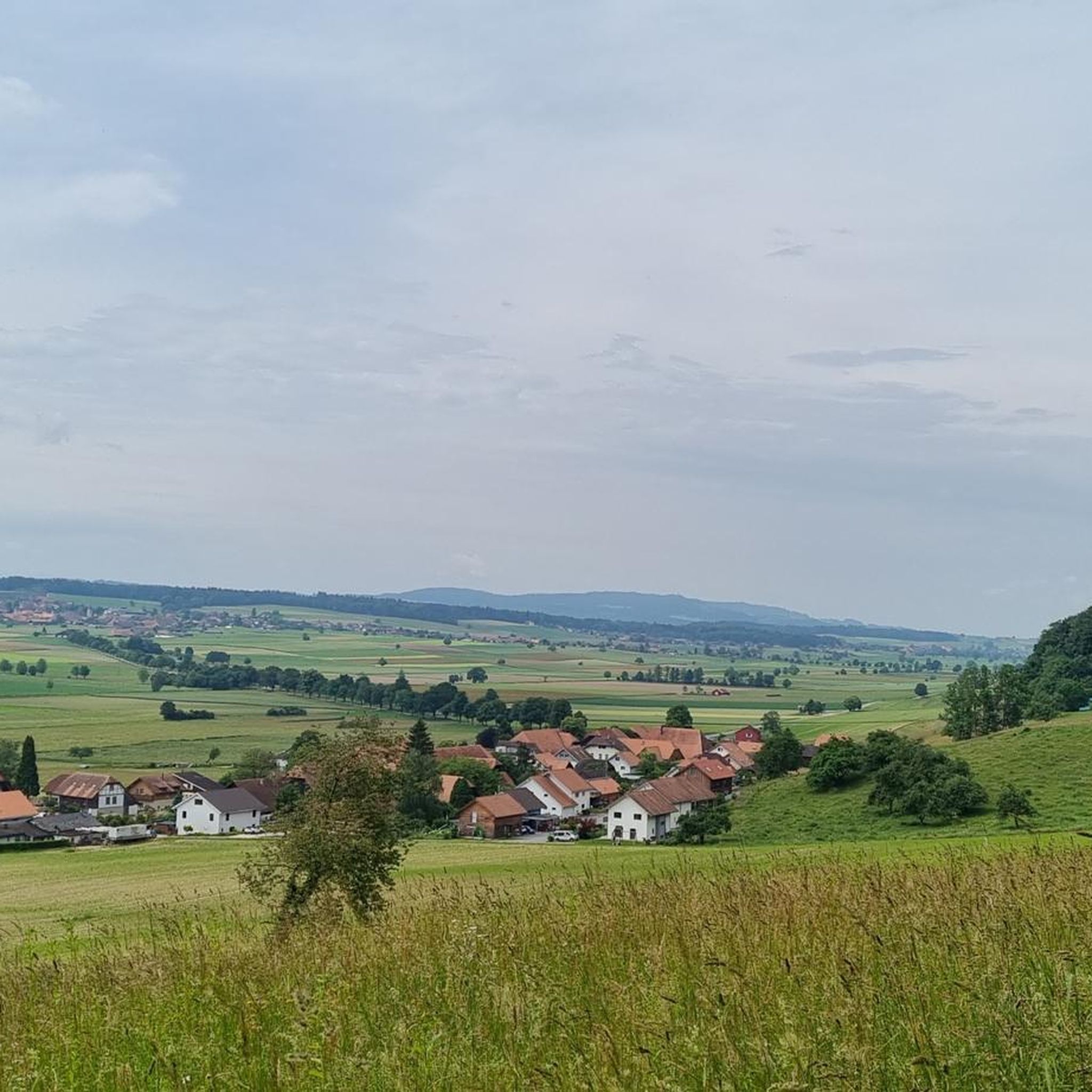
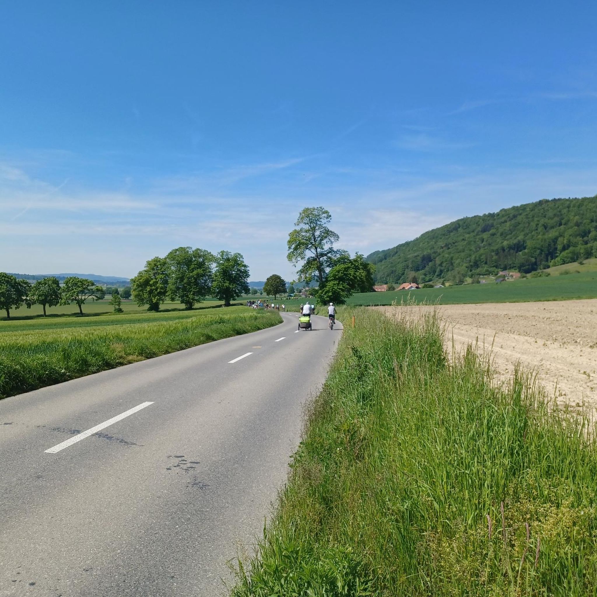
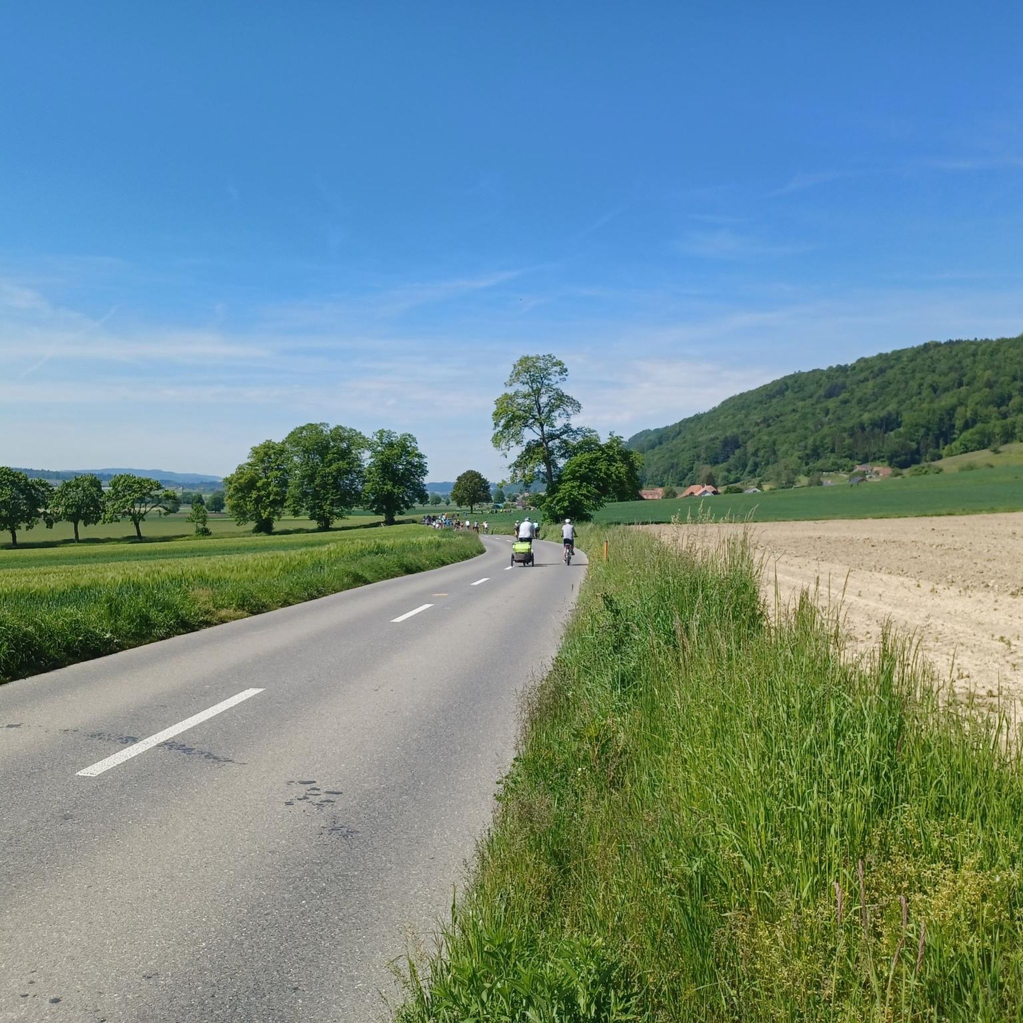
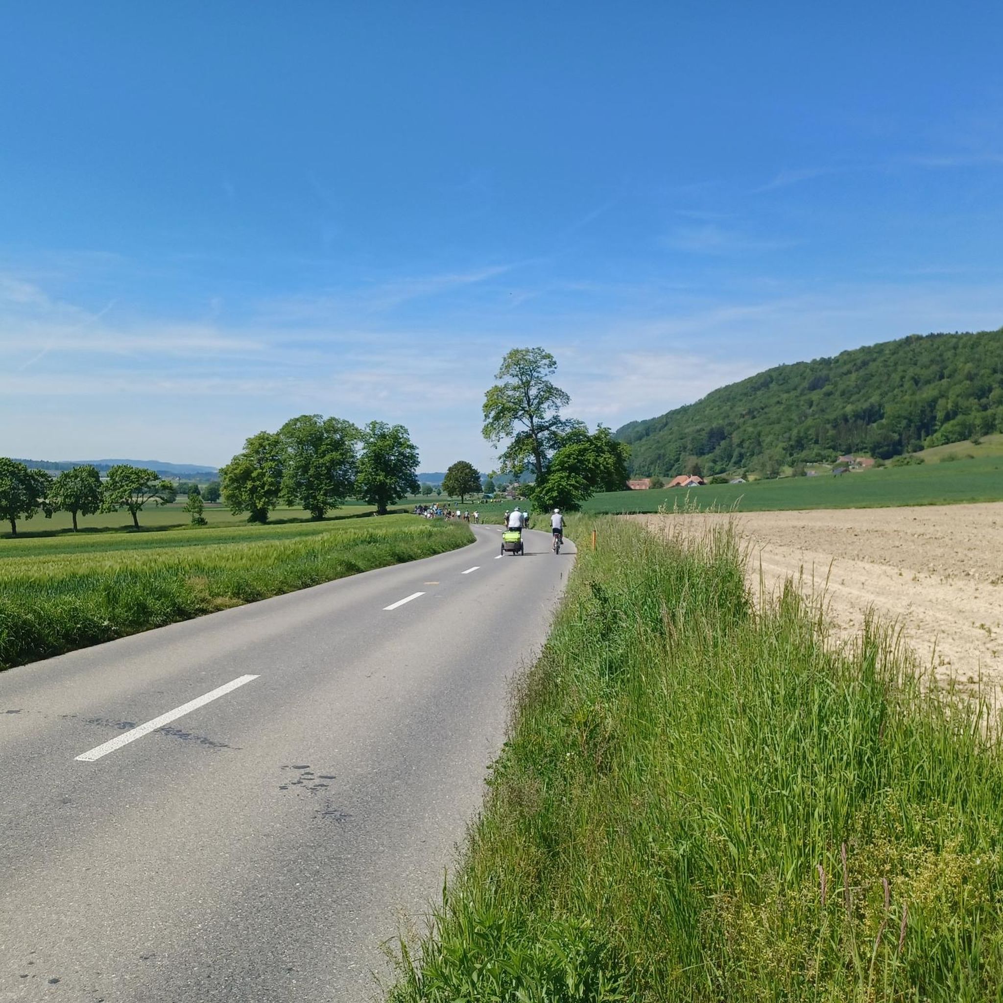
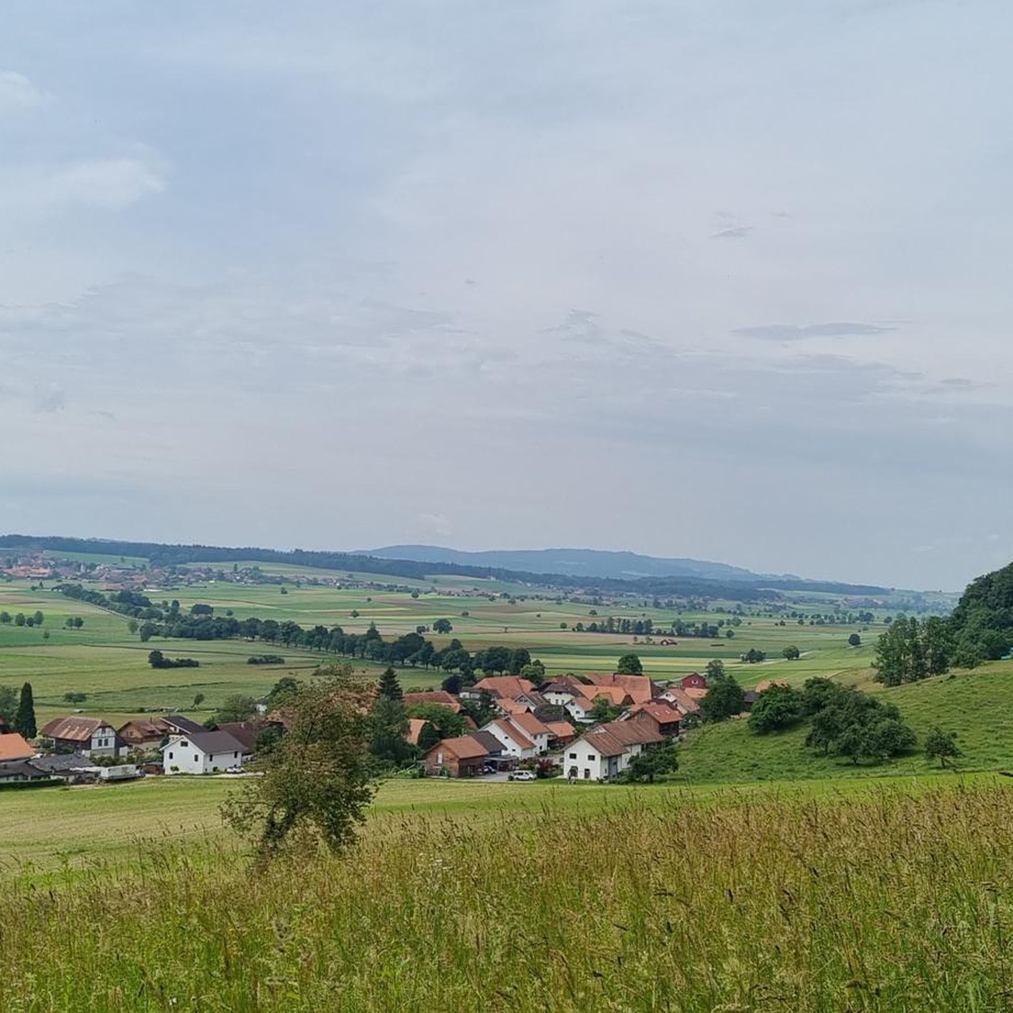
Gravel biking around Unterramsern offers diverse terrain, from the flat, agricultural Limpachtal plain to the rolling, forested Bucheggberg hills. This region, located in the canton of Solothurn, Switzerland, provides varied landscapes suitable for gravel bike routes. Riders can explore scenic paths through farmlands, along the Limpach river, and ascend into the Molasse heights of the Bucheggberg, which feature dense forests and panoramic views. The area's natural features ensure a range of experiences for different skill levels.
Best gravel bike trails…
Last updated: May 21, 2026
4.7
(6)
50
riders
67.8km
03:54
390m
390m
Moderate gravel ride. Good fitness required. Mostly paved surfaces. Suitable for all skill levels.
5.0
(3)
49
riders
113km
06:34
800m
800m
Hard gravel ride. Very good fitness required. Mostly paved surfaces. Suitable for all skill levels.

Sign up for free
4.3
(3)
47
riders
39.2km
02:26
460m
450m
Hard gravel ride. Very good fitness required. Mostly paved surfaces. Suitable for all skill levels.
4.7
(3)
15
riders
49.5km
02:43
240m
240m
Moderate gravel ride. Good fitness required. Mostly paved surfaces. Suitable for all skill levels.
5
riders
47.6km
03:01
240m
240m
Moderate gravel ride. Good fitness required. Mostly paved surfaces. Suitable for all skill levels.
Get access to more routes and recommendations from other explorers.
Sign up for free
Already have an account?
Our route recommendations are based on thousands of hikes, rides, and runs completed by other people on komoot.
Start today with a free account
Your next adventure awaits.
Login or Signup
Tips from the Community

Original bridge but not in the original location!
0
0

The Wynigen Bridge over the Kleine Emme river is a work of Baroque carpentry dating from 1776. It is the oldest wooden bridge still in use in the Emmental region.
6
0

There is a great view from here.
0
0

Enchanted place in the Bremgarten forest
0
0

On Sundays, the restaurant closes at 4:00 PM. Don't they need it?
1
0

Besides the old wooden bridge, the Salt House is probably the most mentioned building in Wangen an der Aare
0
0

The well-maintained gravel path runs close to the Emme River. Benches with views of the river invite you to take a break.
0
0

Very densely populated on Wuchenändi.
0
0
Frequently Asked Questions
How many gravel bike trails are available around Unterramsern?
There are over 50 gravel bike trails around Unterramsern, offering a wide range of experiences for all skill levels. The komoot community has highly rated these routes, with an average score of 4.7 stars from over 50 reviews.
What kind of terrain can I expect on gravel bike routes in Unterramsern?
Gravel biking in Unterramsern offers diverse terrain. You can expect flat, agricultural paths through the Limpachtal plain, often following the Limpach river, ideal for relaxed rides. Alternatively, the routes extend into the rolling, forested Molasse heights of the Bucheggberg, featuring steeper slopes, dense forests, and panoramic views of the Jura chain for more challenging experiences.
Are there any easy gravel bike trails suitable for beginners in Unterramsern?
Yes, Unterramsern offers 9 easy gravel bike trails perfect for beginners or those looking for a relaxed ride. These routes typically explore the flatter sections of the Limpachtal plain, providing scenic views without significant elevation gain.
What are some challenging gravel bike routes for experienced riders?
For experienced riders seeking a challenge, there are 16 difficult gravel bike routes around Unterramsern. A notable difficult route is the Wohlensee – Lake Wohlen loop from Grafenried, which spans 112.6 km and features significant elevation gain around Lake Wohlen.
What attractions can I see along the gravel bike trails near Unterramsern?
Many gravel routes in the region pass by interesting natural features. You might encounter various small lakes and ponds such as Meienriedseeli or Erlimoos Pond (Haag Pond). The broader area also features natural monuments like the famous Stork colony in Altreu and the Alte Aare Nature Reserve.
Are there any family-friendly gravel biking options in the Unterramsern area?
While specific family-friendly routes are not explicitly detailed, the flatter sections of the Limpachtal plain offer excellent opportunities for relaxed cycling. These areas, with their gentle terrain and scenic agricultural landscapes, are generally suitable for families looking for an enjoyable outdoor experience.
Can I find routes that incorporate the Emme River?
Yes, several popular routes follow the Emme River, offering varied riverside scenery. For example, the Bridge Over the Emme – Emme River singletrails loop from Grafenried is a moderate 66.5 km path that incorporates singletrails. Another option is the Beautiful gravel route – Emme River loop from Utzenstorf, a 49.5 km trail through the rural charm of the Emme River valley.
What is the best time of year for gravel biking in Unterramsern?
The diverse landscape of Unterramsern makes it suitable for gravel biking across multiple seasons. Spring and autumn offer pleasant temperatures and vibrant scenery, while summer provides longer daylight hours. Even in winter, the lower-lying Limpachtal plain might be accessible, though conditions in the forested Bucheggberg hills could be more challenging due to snow or ice.
Are there any circular gravel routes around Unterramsern?
Yes, many of the gravel bike trails around Unterramsern are designed as loops, allowing you to start and end at the same point. Examples include the Wohlensee – Lake Wohlen loop from Grafenried and the Bridge Over the Emme – Emme River loop from Fraubrunnen, which is a moderate 51.2 km ride.
What do other gravel bikers enjoy most about the routes in Unterramsern?
The area is highly rated by the komoot community, with an average score of 4.7 stars. Reviewers often praise the region's natural diversity, highlighting the contrast between the peaceful agricultural plains and the invigorating, forested hills. The well-maintained paths and scenic views, particularly of the Jura chain, are frequently mentioned as key attractions.
Is there public transport access to the gravel biking areas near Unterramsern?
Unterramsern is a municipality in the canton of Solothurn, Switzerland. While specific public transport connections directly to trailheads are not detailed, Switzerland generally has a comprehensive public transport network. It's advisable to check local bus or train schedules to nearby towns like Grafenried or Utzenstorf, which serve as starting points for several routes, and plan your journey accordingly.
Are there any routes that combine river views with forested sections?
Absolutely. The region's geography, with the Limpach river and the nearby Aare River, combined with the forested Bucheggberg hills, naturally creates routes that offer both. You can enjoy stretches along riverbanks and then ascend into the woods for a varied and engaging ride. The Aareweg – Emme River loop from Lohn-Lüterkofen is a moderate 28.0 km route that combines river scenery.
Most popular routes around Unterramsern
Most popular attractions around Unterramsern

Get inspired with the komoot mobile app


Explore more
Browse the best Gravel rides in other regions.
