The best gravel rides around Tägertschi
4.6
(130)
602
riders
46
rides
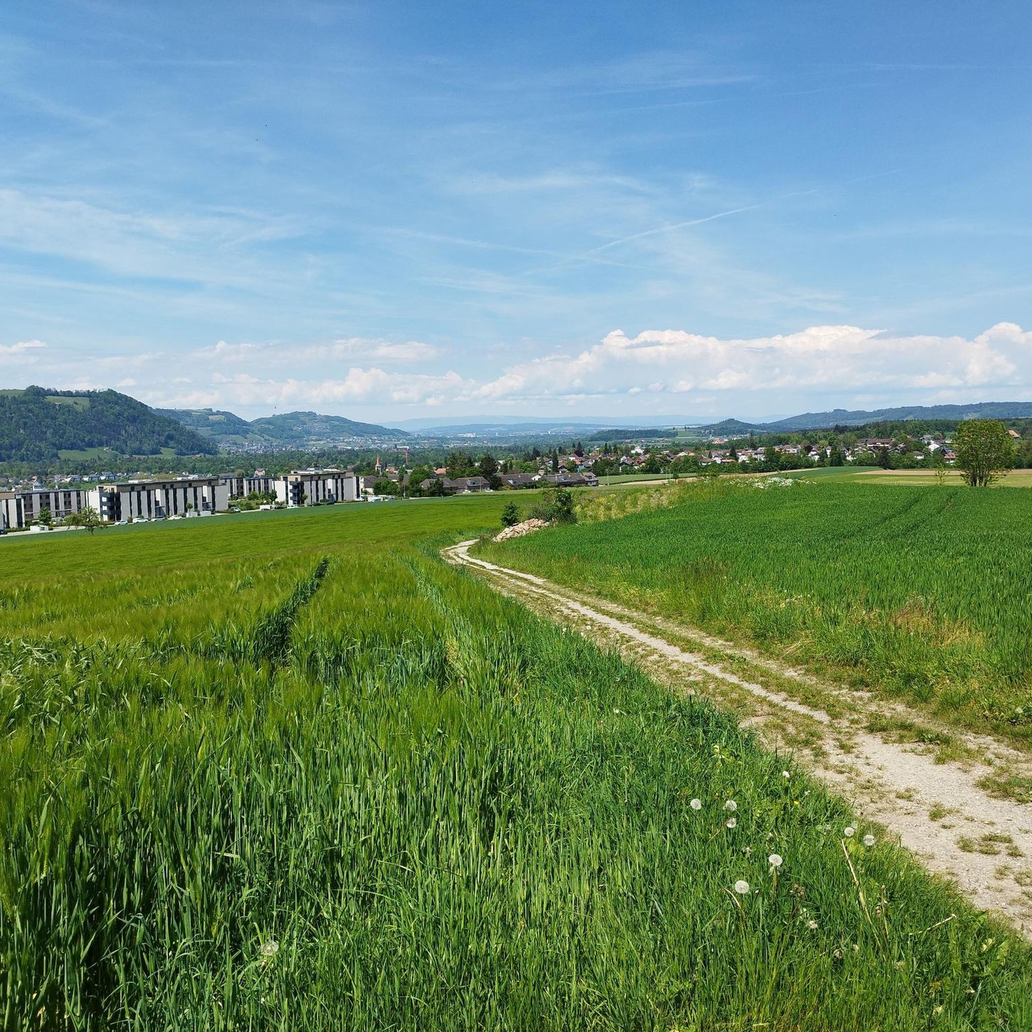
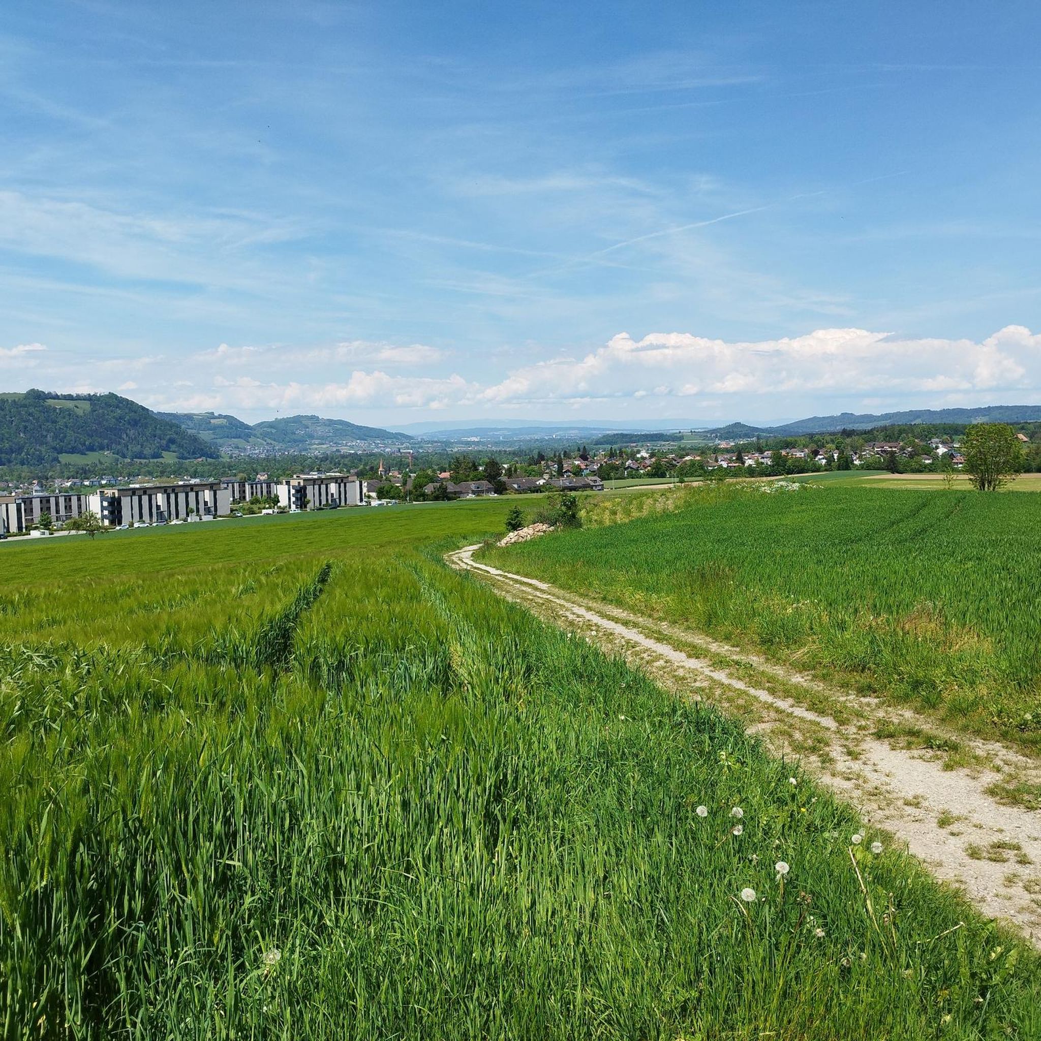
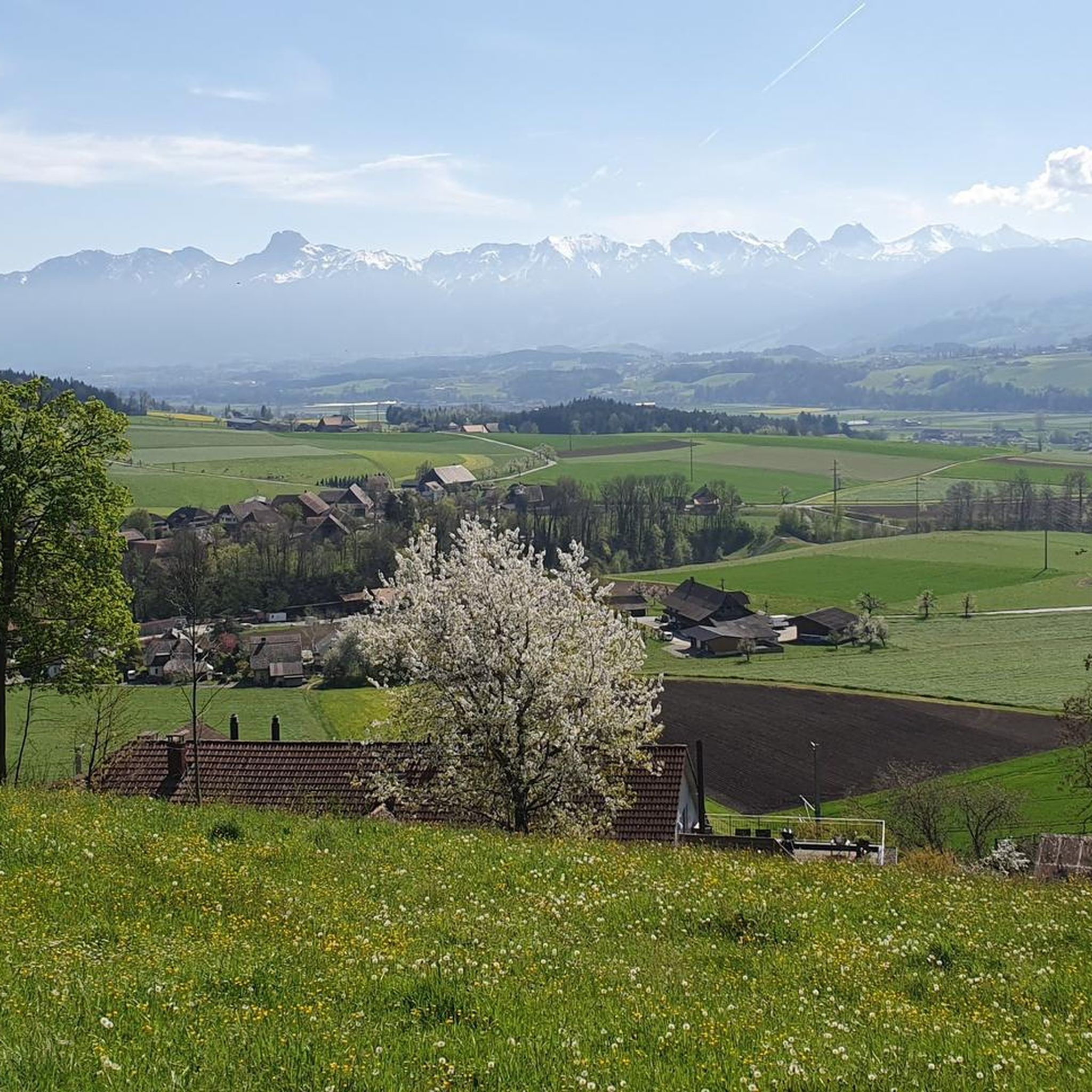
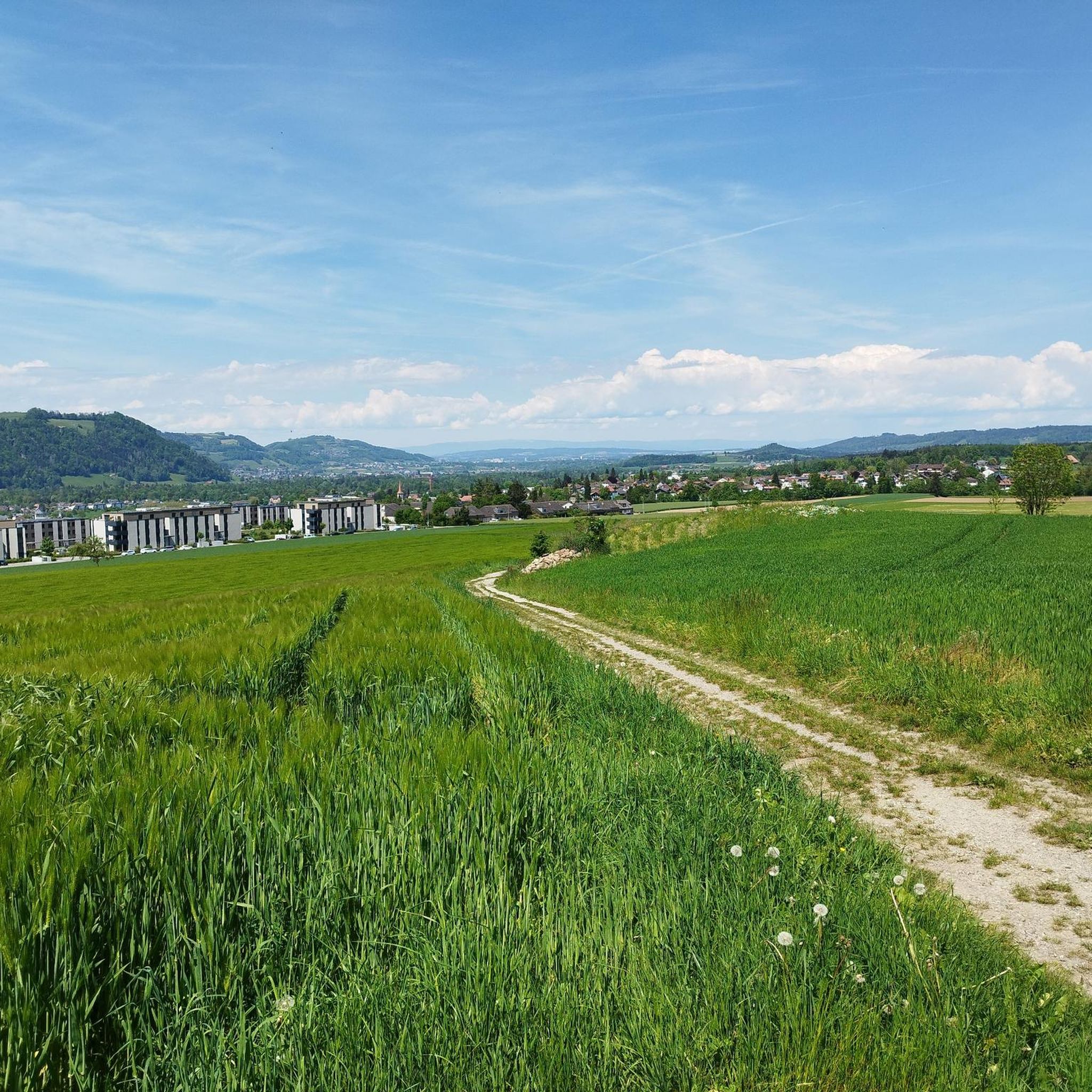
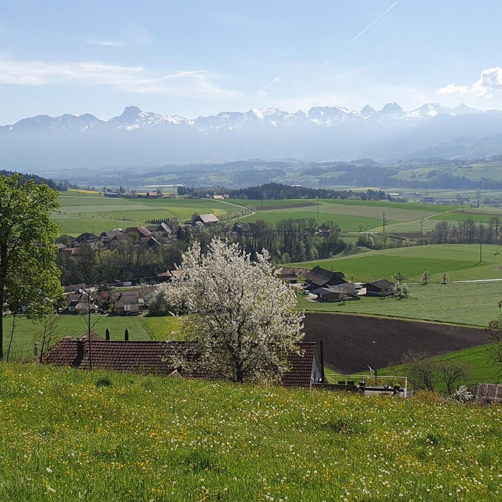
Gravel biking around Tägertschi offers diverse landscapes, featuring flat river valleys, rolling hills, and forest paths. The terrain includes a mix of paved sections, dusty gravel, and field tracks. Riders can explore the expansive Gürbe Valley with views of the Bernese Alps, follow sections along the Aare River, or ascend the Belpberg ridge for panoramic vistas. This variety provides options for different skill levels and preferences.
Best gravel bike trails around Tägertschi
- The most popular gravel bike trail is Aare…
Last updated: June 26, 2026
4.5
(6)
70
riders
44.7km
02:34
180m
180m
Moderate gravel ride. Good fitness required. Mostly paved surfaces. Suitable for all skill levels.
4.1
(7)
33
riders
Moderate gravel ride. Good fitness required. Mostly paved surfaces. Suitable for all skill levels.

Sign up for free
4.8
(5)
32
riders
39.2km
02:33
600m
600m
Hard gravel ride. Very good fitness required. Mostly paved surfaces. Suitable for all skill levels.
4.6
(7)
35
riders
Moderate gravel ride. Good fitness required. Mostly paved surfaces. Suitable for all skill levels.
5.0
(4)
18
riders
67.6km
03:39
340m
340m
Moderate gravel ride. Good fitness required. Mostly paved surfaces. Suitable for all skill levels.
Get access to more routes and recommendations from other explorers.
Sign up for free
Already have an account?
Our route recommendations are based on thousands of hikes, rides, and runs completed by other people on komoot.
Start today with a free account
Your next adventure awaits.
Login or Signup
Tips from the Community

The Belper Giesse is a nature reserve and lies between the airport and the Aare river. It is an amphibian spawning area of national importance and also a floodplain of national importance. The untouched water landscape can be beautifully observed from the path that leads here to the Aare.
1
0

The Hechtenloch is a nature reserve where entry is not permitted, but you can still see it.
0
0

Historic bridge, it is worth reading the information board about the bridge.
0
0

Original bridge but not in the original location!
0
0


gäbig um uf di besser befahrbari aemmesite ds wächsle
0
0

Little traffic, beautiful area.
0
0

Frequently Asked Questions
How many gravel bike trails are there in Tägertschi?
Tägertschi offers a wide selection of gravel biking opportunities, with over 90 routes available. These range from moderate rides to more challenging ascents, catering to various skill levels.
What kind of terrain can I expect on gravel bike trails around Tägertschi?
The region around Tägertschi provides diverse terrain for gravel biking. You'll find a mix of flat, dusty gravel and field paths in the expansive Gürbe Valley, riverside sections along the Aare and Emme rivers, and forest paths leading up the Belpberg ridge. This variety ensures both smooth stretches and more technical sections.
Are there gravel bike routes suitable for beginners in Tägertschi?
Yes, Tägertschi has options for less experienced gravel bikers. While many routes are moderate, there are 5 routes specifically categorized as easy. The Gürbe Valley, for instance, offers mostly flat paths, ideal for those starting out or looking for a more relaxed ride.
Are there any challenging gravel bike routes for experienced riders?
Absolutely. For experienced gravel bikers seeking a challenge, Tägertschi offers 51 routes categorized as difficult. These routes often include significant elevation gains, such as those found when ascending the Belpberg ridge, providing a more demanding experience.
What natural features or landmarks can I see along the gravel bike trails?
Many gravel routes in Tägertschi offer scenic views and pass by interesting landmarks. You can enjoy panoramic views of the Bernese Alps and Prealps, ride along the Gürbe and Aare rivers, or explore the rolling hills of the Emmental. Notable attractions include the historic Auguet Bridge over the Aare, and various castles such as Wyl Castle and Münsingen Castle.
Are there good viewpoints on the gravel bike routes in Tägertschi?
Yes, the region boasts several excellent viewpoints. The Belpberg ridge offers forest paths leading to spots like Chutzen Summit, where you can enjoy expansive views across the Bernese 4000-meter peaks, the Emmental, and the Aare Valley. Some routes also offer views towards the Bantiger Tower.
Are there any circular gravel bike routes around Tägertschi?
Many of the gravel bike routes in Tägertschi are designed as loops, allowing you to start and end at the same point. An example is the Aare River near Münsingen – View of the Aare towards Thun loop from Worb SBB, which follows the Aare River and offers scenic views.
What do other gravel bikers enjoy most about the trails in Tägertschi?
The gravel biking trails around Tägertschi are highly rated by the komoot community, with an average score of 4.6 stars from over 140 reviews. Riders frequently praise the diverse landscapes, from flat river valleys to challenging ridge climbs, and the mix of gravel, field, and forest paths that keep rides interesting.
Are there gravel routes that follow rivers or valleys?
Yes, the region is characterized by its river valleys. You can find routes that traverse the expansive Gürbe Valley, offering mostly flat and scenic paths. Additionally, sections of the Aare Cycle Route provide gravel options along the Aare River, and some trails explore the picturesque Emme River valley, such as the Emme Covered Bridge – On the banks of the Emme loop from Rubigen.
Is there parking available near the gravel bike trailheads?
While specific parking details vary by trailhead, many starting points for gravel bike routes in the Tägertschi region, especially those near towns or popular access points, offer designated parking facilities. It's advisable to check the individual route details on komoot for the most accurate parking information.
Can I reach the gravel bike trails in Tägertschi by public transport?
Switzerland has an excellent public transport network. Many towns and villages in the Tägertschi region, including Tägertschi itself, are accessible by train or bus, making it possible to reach trailheads without a car. Some routes, like the Cycle Route North of Bern – Gümligetäli Road loop from Tägertschi, start directly from accessible locations.
Are there places to eat or drink along the gravel bike routes?
Yes, you'll find opportunities for refreshments. For instance, the Chutzen Restaurant, located at the viewpoint on Belpberg, offers regional cuisine and a terrace with stunning Alpine views. Many routes also pass through villages where cafes and restaurants are available, especially in larger towns like Münsingen or Rubigen.
Most popular routes around Tägertschi
Most popular attractions around Tägertschi

Get inspired with the komoot mobile app


Explore more
Browse the best Gravel rides in other regions.
