The best gravel rides around Rohrbachgraben
4.9
(7)
33
riders
11
rides
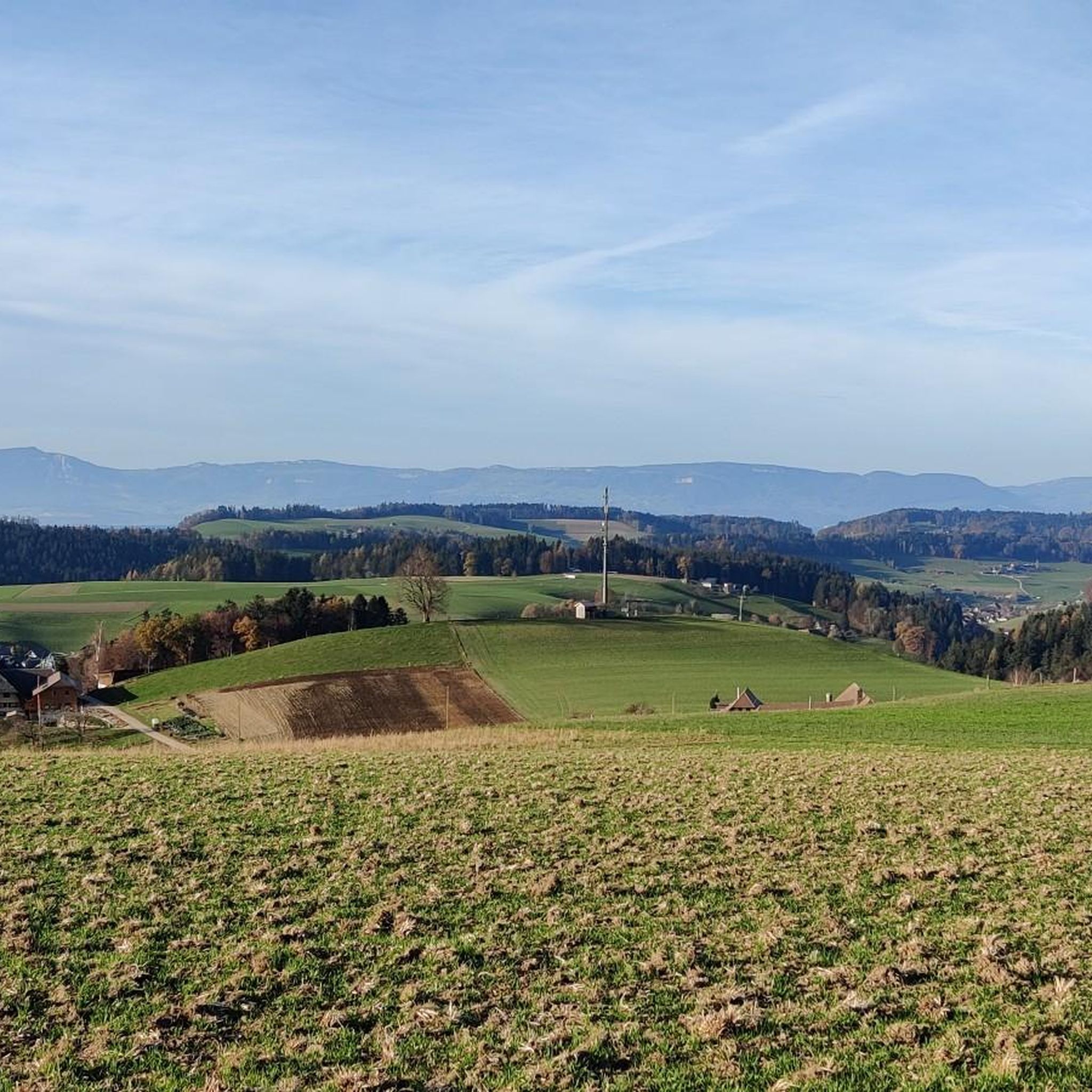
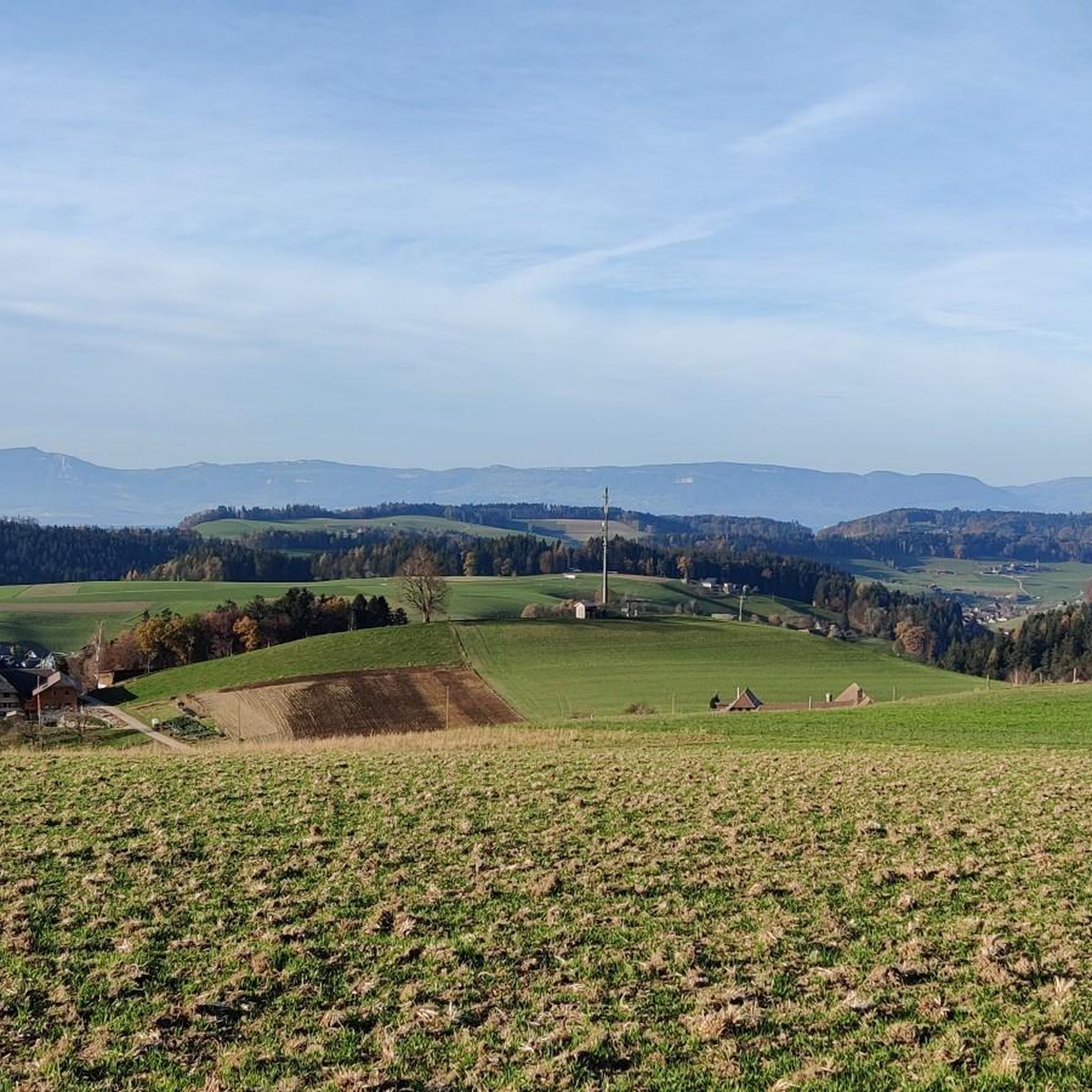
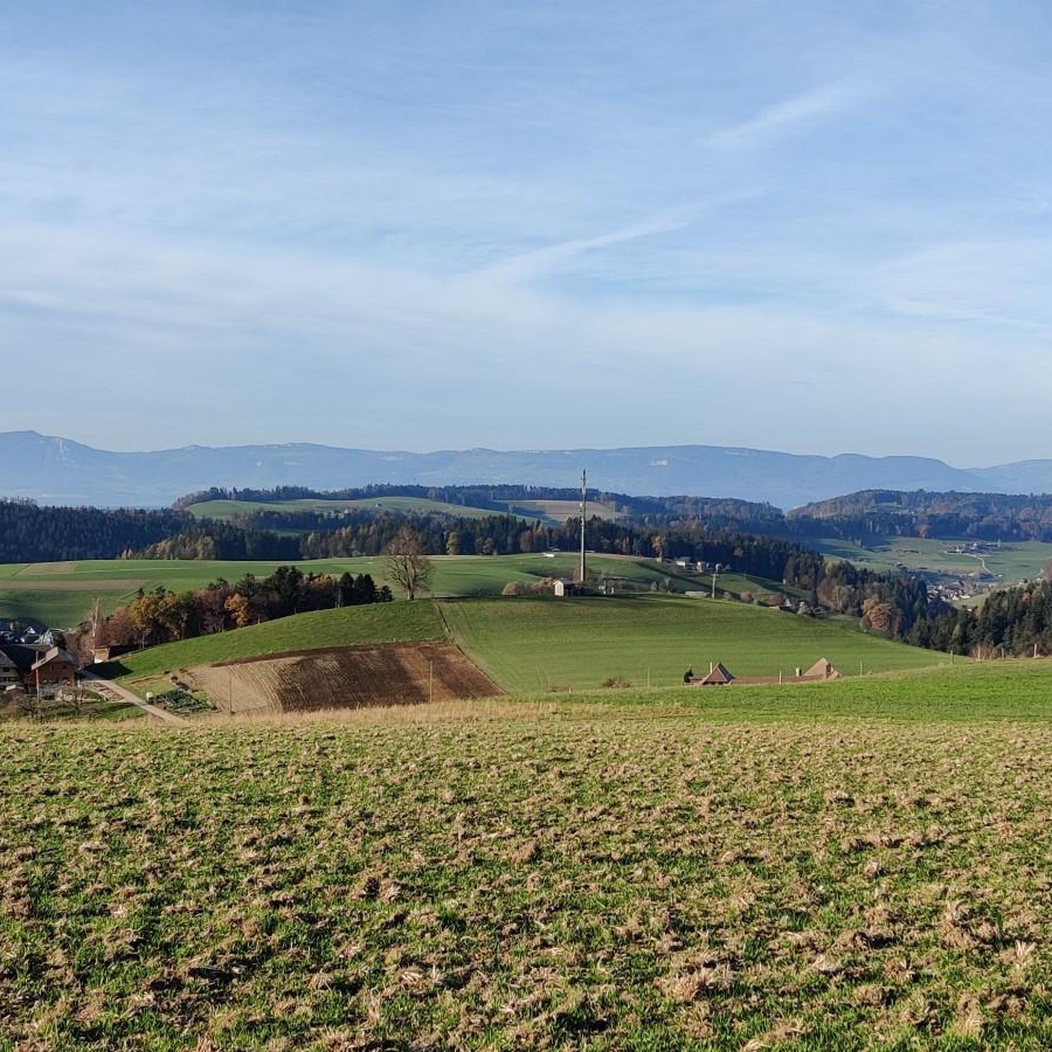
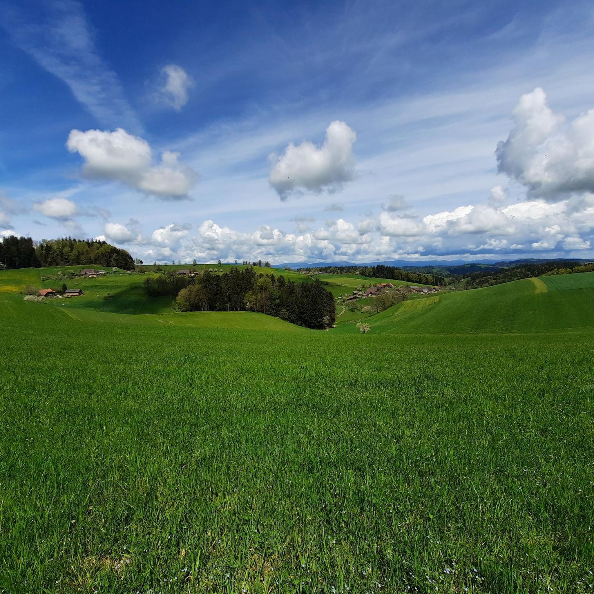
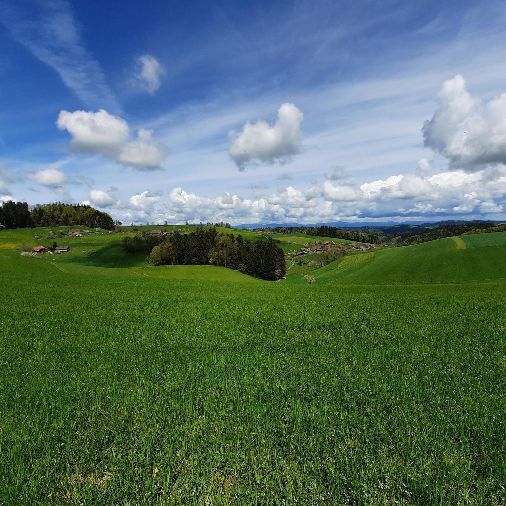
Gravel biking around Rohrbachgraben offers diverse terrain across a landscape characterized by rolling hills, dense forests, and extensive agricultural areas. The region features picturesque valleys and unpaved farm roads, providing varied routes away from paved surfaces. Unique natural features like the Wässermatten Oberaargau, a UNESCO cultural heritage site, contribute to the scenic routes. Flowing streams and scattered settlements further define the tranquil, natural setting for gravel biking.
Best gravel bike trails around Rohrbachgraben
- The most popular gravel bike trail is On the banks of the Emme – Emme Covered Bridge loop from Dürrenroth, a 53.7 miles (86.5 km) trail that takes 6 hours 56 minutes to complete, traversing along the Emme river.
- Another top favourite among local gravel bikers is Emme Covered Bridge – On the banks of the Emme loop from Mistelnberg, a difficult 17.3 miles (27.8 km) path that explores the Emme river valley and its covered bridge.
- Local gravel bikers also love the Along the Luthern River – Huttwil Old Town loop from Huttwil, a 25.6 miles (41.2 km) trail leading through the Luthern River valley and past Huttwil Old Town, often completed in about 3 hours 40 minutes.
- Gravel biking around Rohrbachgraben is defined by rolling hills, dense forests, and historic agricultural lands, including the Wässermatten. The network offers options for different ability levels, from moderate to difficult routes.
- The routes in Rohrbachgraben are highly rated by the komoot community with an average score of 5.0 stars from over 7 reviews. More than 40 gravel bikers have used komoot to explore Rohrbachgraben's varied terrain.
Last updated: July 2, 2026
4.6
(5)
15
riders
27.4km
01:54
460m
460m
Hard gravel ride. Very good fitness required. Mostly paved surfaces. Suitable for all skill levels.
5.0
(1)
6
riders
41.9km
03:01
620m
620m
Hard gravel ride. Very good fitness required. Mostly paved surfaces. Suitable for all skill levels.

Sign up for free
4
riders
22.2km
01:47
560m
560m
Hard gravel ride. Very good fitness required. Mostly paved surfaces. Suitable for all skill levels.
3
riders
26.6km
02:15
570m
570m
Hard gravel ride. Very good fitness required. You may need to push your bike for some segments of this route.
5.0
(1)
5
riders
Hard gravel ride. Very good fitness required. Mostly paved surfaces. Suitable for all skill levels.
Get access to more routes and recommendations from other explorers.
Sign up for free
Already have an account?
Our route recommendations are based on thousands of hikes, rides, and runs completed by other people on komoot.
Start today with a free account
Your next adventure awaits.
Login or Signup
Tips from the Community

You can also take a good break by the Emme and cool off (if needed).
0
0
This route is predominantly gravel, those who do not want to ride their road bike on it can switch to the main road (however, it is heavily frequented by cars). This gravel section is easily passable and worthwhile.
0
0
Historic bridge, it is worth reading the information board about the bridge.
0
0
Those who have time and inclination can visit the castle. There is an opportunity to stop for refreshments and the old town of Burgdorf is also worth seeing.
0
0

Original bridge but not in the original location!
0
0

This route is much nicer than the most commonly recommended one along the main road. Especially in summer, as it's pleasantly cool cycling through the light forest.
0
0

The Wynigen Bridge over the Kleine Emme river is a work of Baroque carpentry dating from 1776. It is the oldest wooden bridge still in use in the Emmental region.
6
0

Here you can experience nature in its purest form.
0
0
Frequently Asked Questions
What kind of terrain can I expect on gravel bike trails around Rohrbachgraben?
The Rohrbachgraben region offers a diverse mix of terrain, characterized by rolling hills, dense forests, and extensive agricultural areas. You'll encounter unpaved farm roads, forest paths, and gravel tracks, often featuring significant elevation gains and panoramic views. The landscape includes picturesque valleys and unique features like the UNESCO-recognized Wässermatten Oberaargau, providing varied and engaging routes.
Are there any family-friendly gravel biking options in Rohrbachgraben?
While many routes in Rohrbachgraben are rated as difficult due to elevation changes, the region's tranquil setting and varied landscapes can still be enjoyed by families. For a more relaxed outdoor experience, consider exploring the areas around the Wässermatten Oberaargau, which offer unique scenic routes through fertile meadows. Always check individual route details for suitability.
What is the best time of year for gravel biking in Rohrbachgraben?
Gravel biking in Rohrbachgraben is generally best during the spring, summer, and autumn months when the weather is milder and trails are dry. The varied terrain, including agricultural roads and forest paths, can become muddy or challenging in wet or snowy conditions. Always check the local weather forecast before heading out.
What interesting natural features or landmarks can I see along the gravel bike trails?
The region is rich in natural beauty and cultural heritage. You can explore the unique Wässermatten Oberaargau, a UNESCO cultural heritage site with ancient irrigation systems. Additionally, highlights like the Lueg Monument offer stunning viewpoints, and you might encounter impressive geological formations such as the Grossi Flue Erratic Boulder.
Are there any circular gravel bike routes available?
Yes, many of the gravel bike routes in Rohrbachgraben are designed as loops, allowing you to start and end at the same point. For example, the challenging On the banks of the Emme – Emme Covered Bridge loop from Dürrenroth and the Along the Luthern River – Huttwil Old Town loop from Huttwil are popular circular options.
Where can I find parking for gravel biking in Rohrbachgraben?
Given Rohrbachgraben's dispersed settlements and agricultural nature, parking is often available in or near the starting points of popular routes, particularly in larger nearby towns like Huttwil or Dürrenroth. It's advisable to check specific route descriptions or local signage for designated parking areas before your ride.
What do other gravel bikers enjoy most about the trails in Rohrbachgraben?
The gravel biking routes around Rohrbachgraben are highly rated by the komoot community, with an average score of 5.0 stars. Riders frequently praise the diverse terrain, the tranquility of the natural settings, and the scenic beauty of the rolling hills, dense forests, and historic agricultural lands, including the unique Wässermatten.
Are there any routes that pass by the Emme River?
Yes, the Emme River is a prominent feature in the region, and several gravel bike routes follow its banks. A notable option is the Emme Covered Bridge – On the banks of the Emme loop from Mistelnberg, which explores the Emme river valley and features its iconic covered bridge.
Can I find places to eat or drink near the gravel bike trails?
While Rohrbachgraben itself consists of scattered settlements, nearby towns and villages offer options for refreshments. You might find alpine inns or restaurants such as the Brestenegg Alpine Inn or Gasthof Kuttelbad, which are popular stops for outdoor enthusiasts. The Emmentaler Schaukäserei (Emmental Show Dairy) is also a cultural and culinary attraction in the wider region.
How many gravel bike trails are there in the Rohrbachgraben area?
There are over 15 gravel bike trails available for exploration in the Rohrbachgraben area. These routes offer a range of experiences, from moderate to difficult, catering to different skill levels and preferences for distance and elevation.
Are there any routes with significant elevation gain for a challenging ride?
Yes, many routes in Rohrbachgraben feature significant elevation gains, making them suitable for challenging rides. For instance, the Huttwil Old Town – Kanzel Eriswil Viewpoint loop from Huttwil includes over 550 meters of ascent, offering a demanding experience with rewarding views.
What is the longest gravel bike route available in the region?
For those seeking a longer adventure, the On the banks of the Emme – Emme Covered Bridge loop from Dürrenroth is a substantial option, covering approximately 86.5 kilometers (53.7 miles) and typically taking nearly 7 hours to complete, traversing along the Emme river.
Most popular routes around Rohrbachgraben
Most popular attractions around Rohrbachgraben

Get inspired with the komoot mobile app


Explore more
Browse the best Gravel rides in other regions.
