The best gravel rides around Gurzelen
4.7
(62)
646
riders
43
rides
Gravel biking around Gurzelen offers a diverse landscape characterized by rolling hills and a distinctive drumlin formation, a legacy of the ice-age Aare glacier. The region is situated within the Gürbetal, providing access to river paths along the Gürbe and Aare rivers. Terrain varies from mostly flat sections to bumpy and dusty paths, with some routes featuring significant climbs. Panoramic views of the Stockhorn and Gantrisch mountain ranges, as well as distant glimpses of Lake Thun, are common.
Best gravel…
Last updated: May 21, 2026
5.0
(3)
24
riders
43.0km
02:51
500m
500m
Hard gravel ride. Very good fitness required. Mostly paved surfaces. Suitable for all skill levels.
4.0
(1)
7
riders
66.8km
05:07
1,880m
1,880m
Hard gravel ride. Very good fitness required. Mostly paved surfaces. Suitable for all skill levels.

Sign up for free
5.0
(2)
17
riders
42.4km
03:05
1,070m
1,070m
Hard gravel ride. Very good fitness required. Mostly paved surfaces. Suitable for all skill levels.
5.0
(1)
4
riders
26.9km
02:16
660m
660m
Hard gravel ride. Very good fitness required. Mostly paved surfaces. Suitable for all skill levels.
11
riders
24.5km
01:27
200m
200m
Hard gravel ride. Good fitness required. You may need to push your bike for some segments of this route.
Get access to more routes and recommendations from other explorers.
Sign up for free
Already have an account?
Our route recommendations are based on thousands of hikes, rides, and runs completed by other people on komoot.
Start today with a free account
Your next adventure awaits.
Login or Signup
Tips from the Community

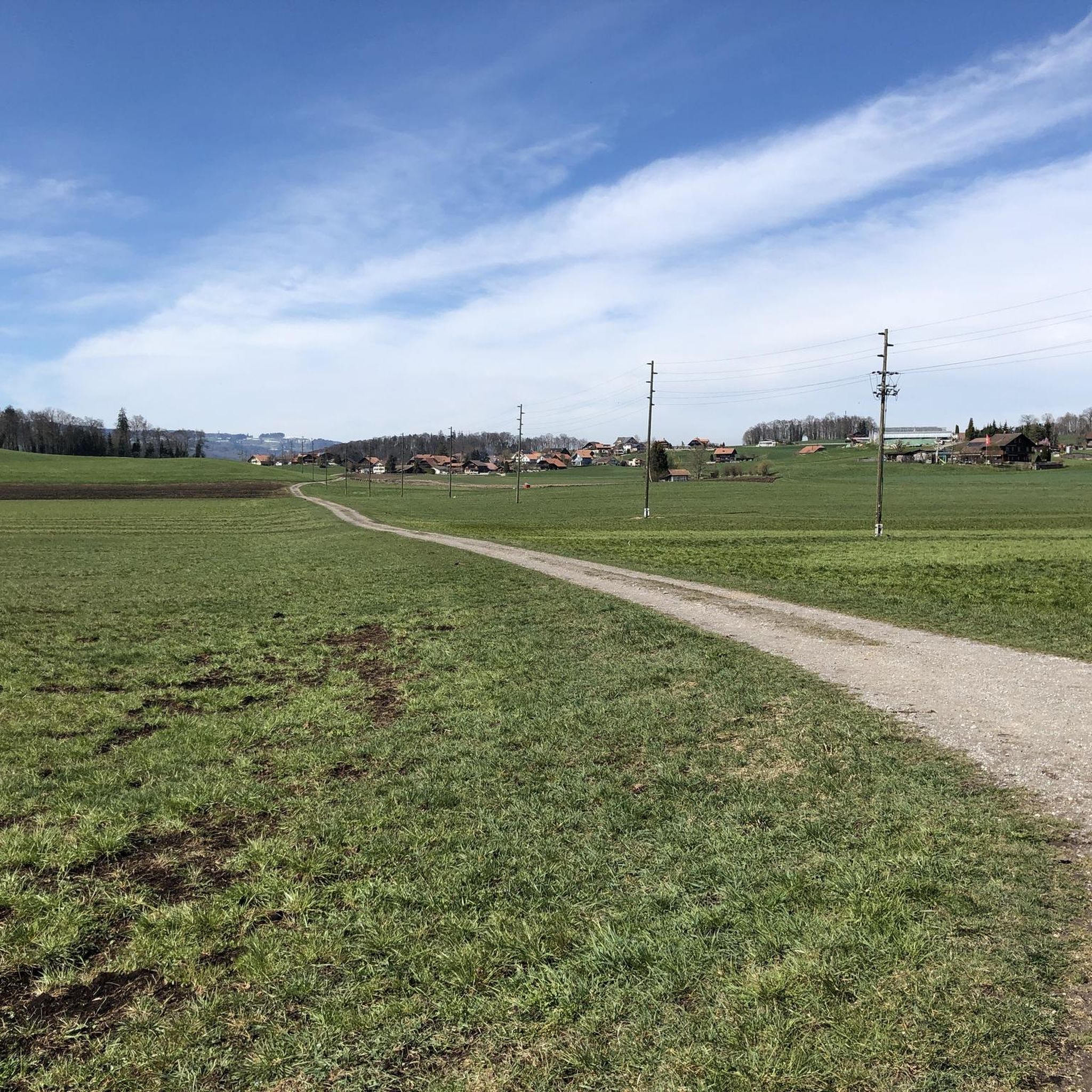
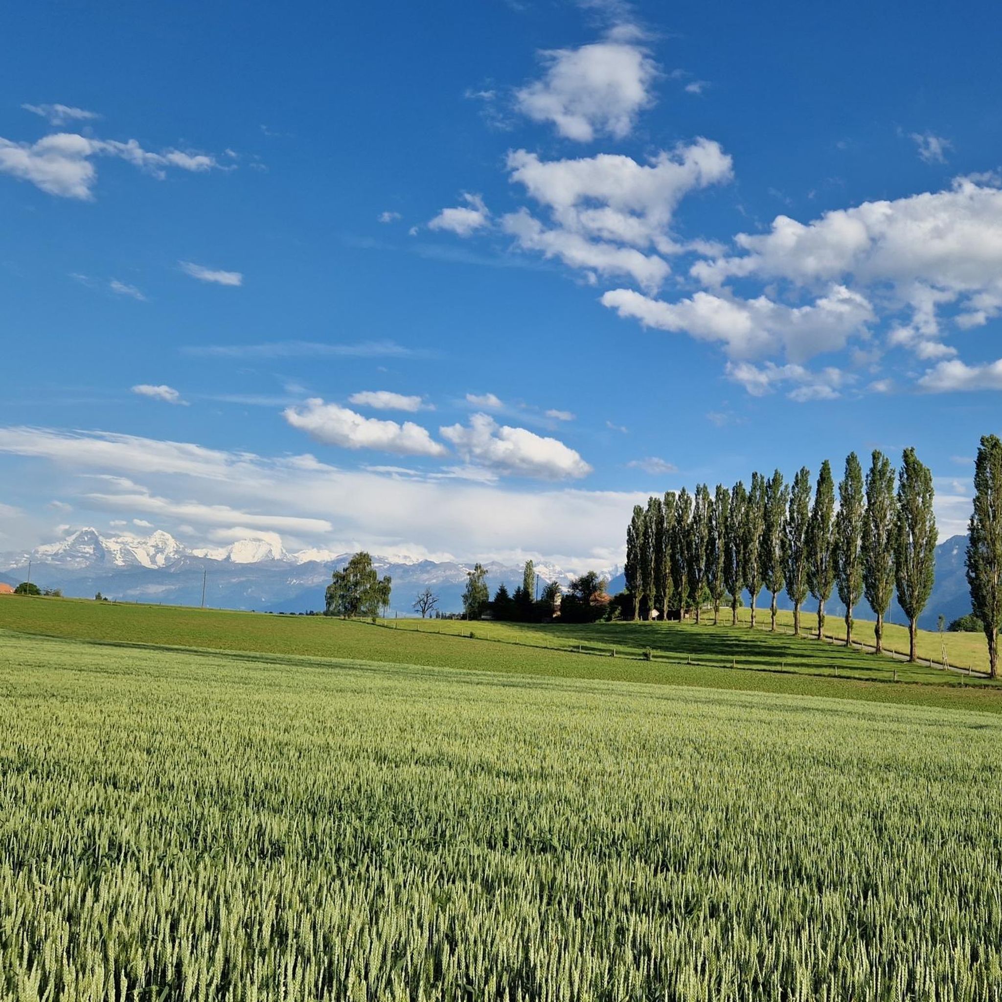
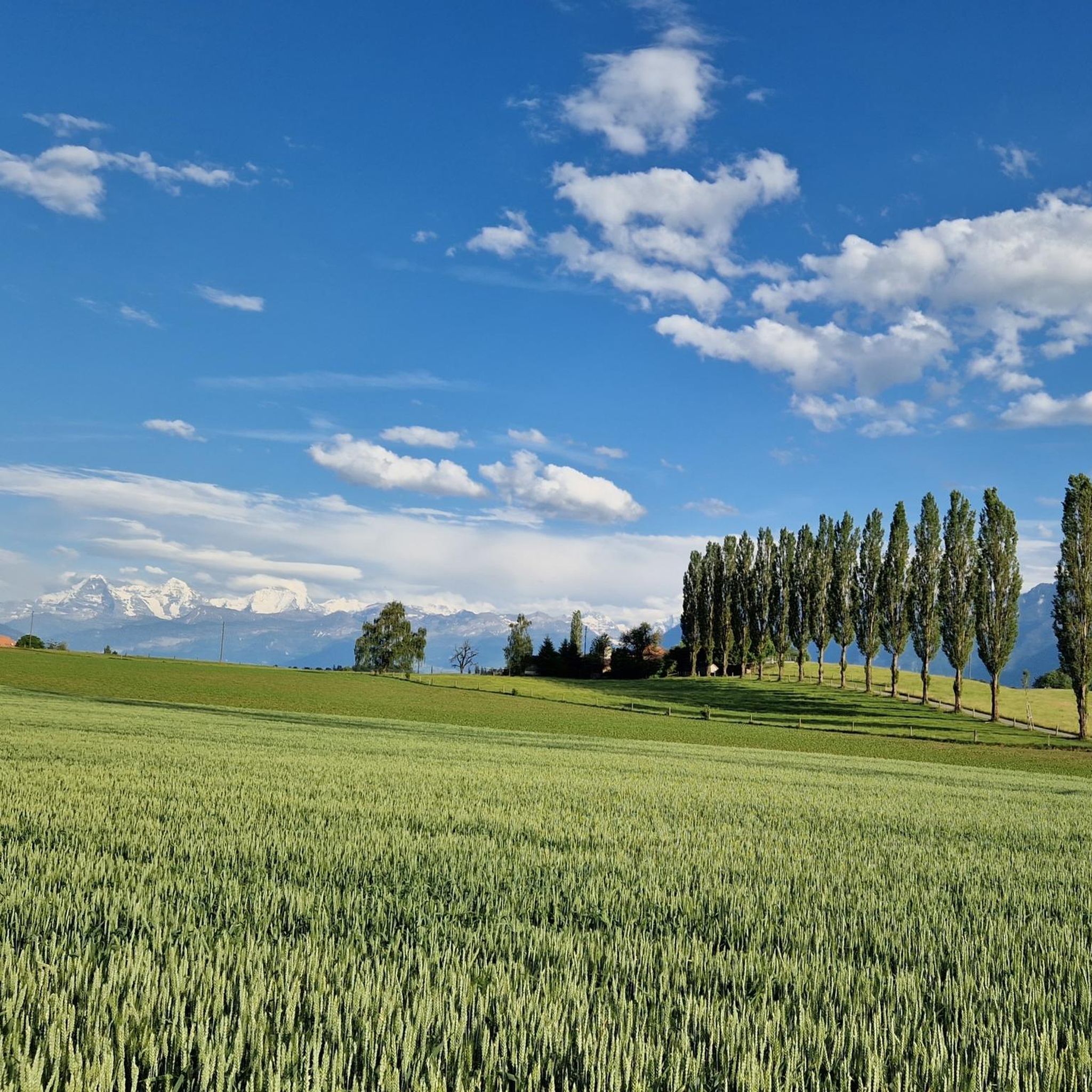
As you drive along the gravel roads, impressive views of the mighty Bernese Alps repeatedly open up. If the route continues straight, you can linger on the mountain peaks for a while, as there's no traffic.
0
0

Lake Gerzensee is privately owned. It's not possible to walk around it. From Kirchdorf, there's a dirt road that leads to a wonderful seating area.
0
0

Lake Gerzen is a lake located between the villages of Gerzensee, Mühledorf, and Kirchdorf in the canton of Bern, Switzerland. Its water level is at an average elevation of 603 meters above sea level. At normal water levels, the lake is approximately 8.5 meters deep on average and reaches a maximum of 11 meters deep, and has a surface area of 0.25 km², making it one of the medium-sized pre-Alpine lakes in Switzerland.
1
0


Beautiful view with barbecue area
1
0
At the Zulgspitz, the Zulg, which rises high up at the Grüenebergpass, flows into the Aare. It flows down over two sills, which creates an interesting picture.
2
0

Good entry to the Gurnigel Pass.
0
0

The Glütschbach or valley was the riverbed of the Kander until 1714. This also explains the deep incision for this small stream.
0
0
Frequently Asked Questions
How many gravel bike trails are available around Gurzelen?
Gurzelen offers a wide selection of gravel bike routes, with over 70 trails available. These range from easy river paths to more challenging routes with significant elevation gain, ensuring options for various skill levels.
Are there any easy or beginner-friendly gravel bike routes in Gurzelen?
Yes, Gurzelen has several easy gravel bike routes suitable for beginners. One excellent option is the Zulgschwelle – Aare River Path loop from Kiesen, which is 29.4 km long and features minimal elevation changes, making it a pleasant ride along the Aare River.
What kind of terrain can I expect on gravel bike trails around Gurzelen?
The terrain around Gurzelen is quite varied. You'll encounter rolling hills, open agricultural areas, and sections that pass through forests. Many routes also feature scenic paths along river valleys, such as the Aare, and offer views of lakes like Gerzensee and Lake Thun.
Are there any challenging gravel bike routes for experienced riders?
Absolutely. For experienced riders seeking a challenge, routes like the View of the Aare towards Thun – Along Lake Thun loop from Thurnen offer a demanding 116.5 km ride with significant elevation changes and extensive views along Lake Thun. Another difficult option is the View of Innereriz – Oberhofen Castle loop from Steffisburg, spanning 66.8 km with substantial climbing.
What are some scenic viewpoints or attractions along the gravel bike routes?
Many routes offer stunning views of Gerzensee and Lake Thun. You can also explore historical sites such as Thun Old Town and Castle, or pass by Schadau Castle. For natural beauty, consider routes that take you past waterfalls like Zulgschwelle or the Cholerenschlucht Gorge.
Are there any circular gravel bike routes in the Gurzelen area?
Yes, most of the popular gravel bike trails around Gurzelen are designed as loops. Examples include the View of Gerzensee – View from Chutzen on Belpberg loop from Steffisburg and the Thun Old Town and Castle – Oberes Heiti loop from Steffisburg, providing convenient starting and ending points.
What do other gravel bikers say about the trails in Gurzelen?
The gravel biking routes in Gurzelen are highly regarded by the komoot community, boasting an average rating of 4.8 stars from over 80 reviews. Riders frequently praise the diverse landscapes, panoramic lake views, and the variety of terrain that caters to different skill levels.
When is the best time of year to go gravel biking in Gurzelen?
The region is generally enjoyable for gravel biking from spring through autumn, when the weather is mild and trails are dry. During these seasons, you can fully appreciate the scenic views and varied terrain without the challenges of winter conditions.
Are there options for family-friendly gravel biking near Gurzelen?
For families, the flatter sections along the Aare River offer a more relaxed experience. The Zulgschwelle – Aare River Path loop from Kiesen is an excellent choice, providing a relatively easy and scenic ride suitable for various ages and fitness levels.
What are the typical distances for gravel bike trails in Gurzelen?
Gravel bike trails in Gurzelen vary significantly in length. You can find shorter routes, such as the 29.4 km Zulgschwelle – Aare River Path loop from Kiesen, up to much longer and more challenging expeditions like the 116.5 km View of the Aare towards Thun – Along Lake Thun loop from Thurnen.
Are there any cafes or places to stop for refreshments along the routes?
While specific cafes are not listed for every route, many trails pass through or near towns and villages where you can find opportunities for refreshments. Popular starting points like Steffisburg and Thurnen, or destinations like Thun Old Town, offer various dining and cafe options.
Most popular routes around Gurzelen
Most popular attractions around Gurzelen

Get inspired with the komoot mobile app


Explore more
Browse the best Gravel rides in other regions.
