The best gravel rides around Grosshöchstetten
4.4
(46)
270
riders
25
rides
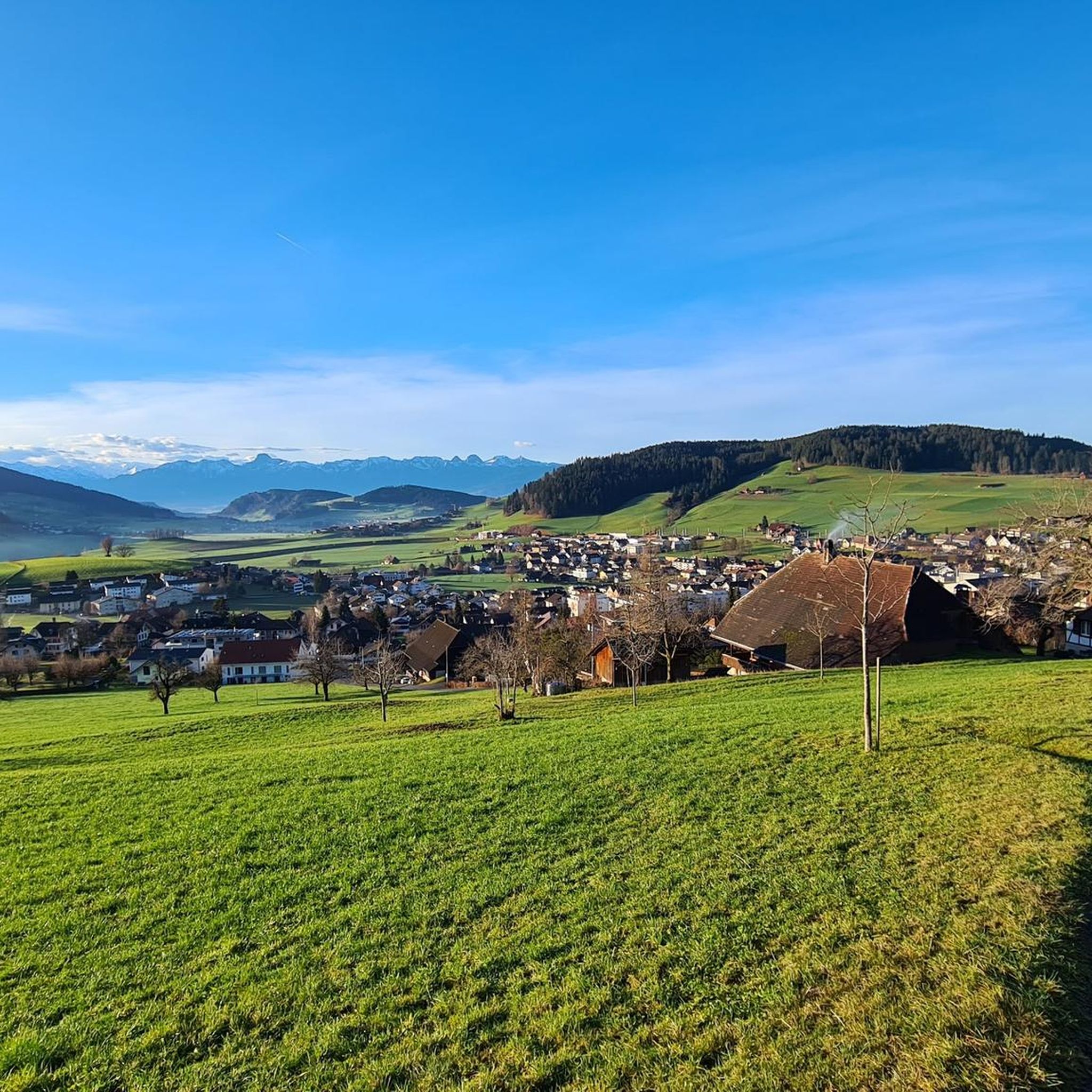
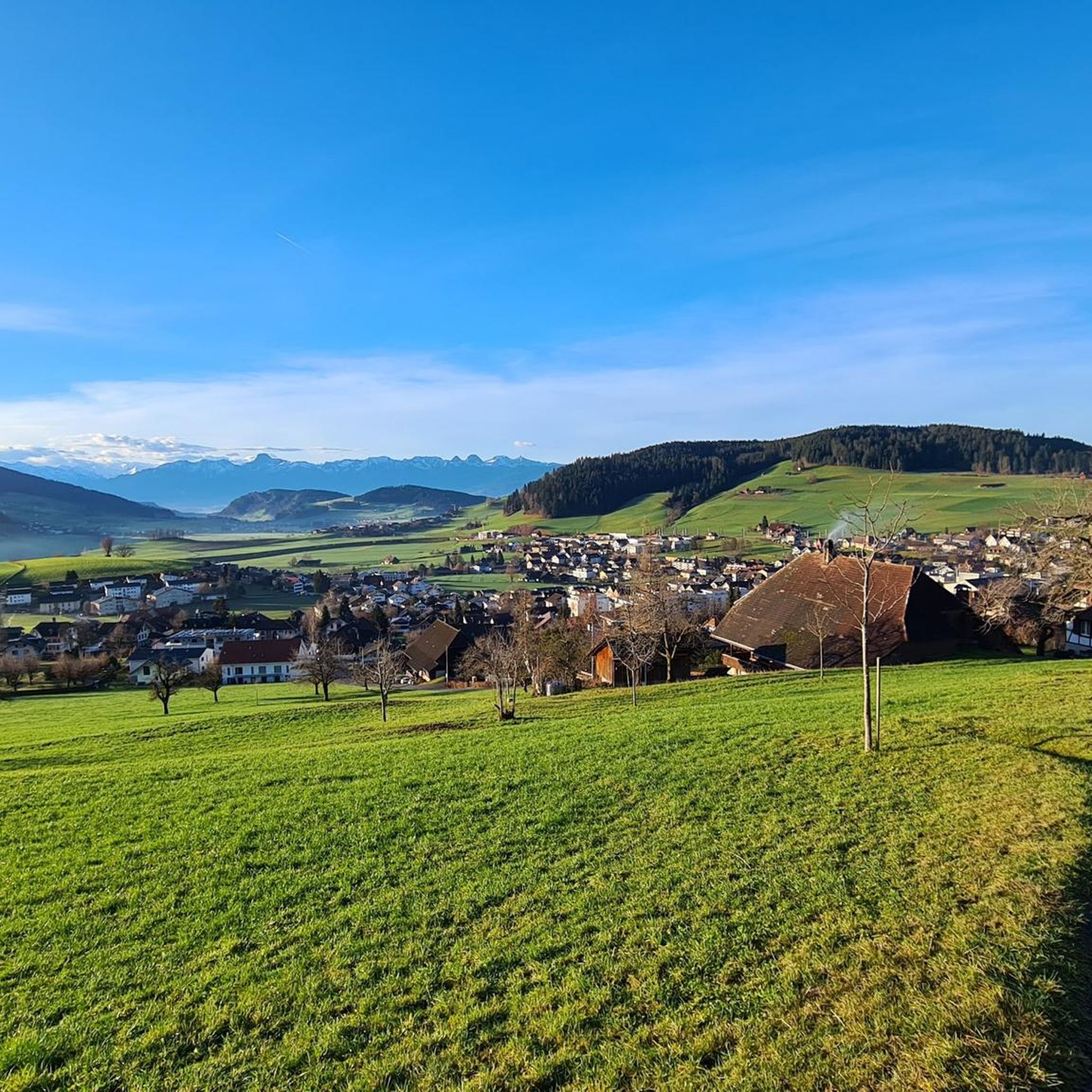
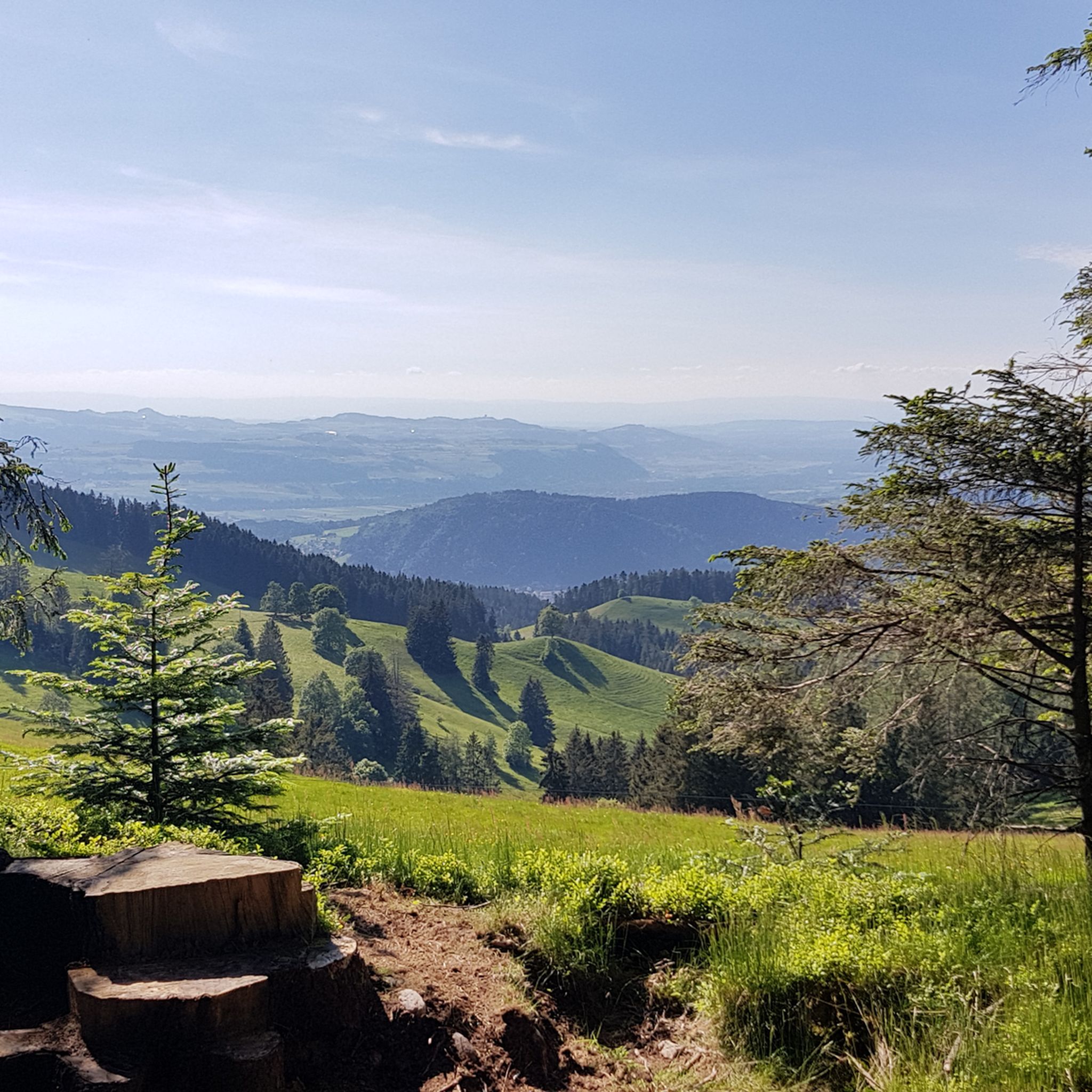
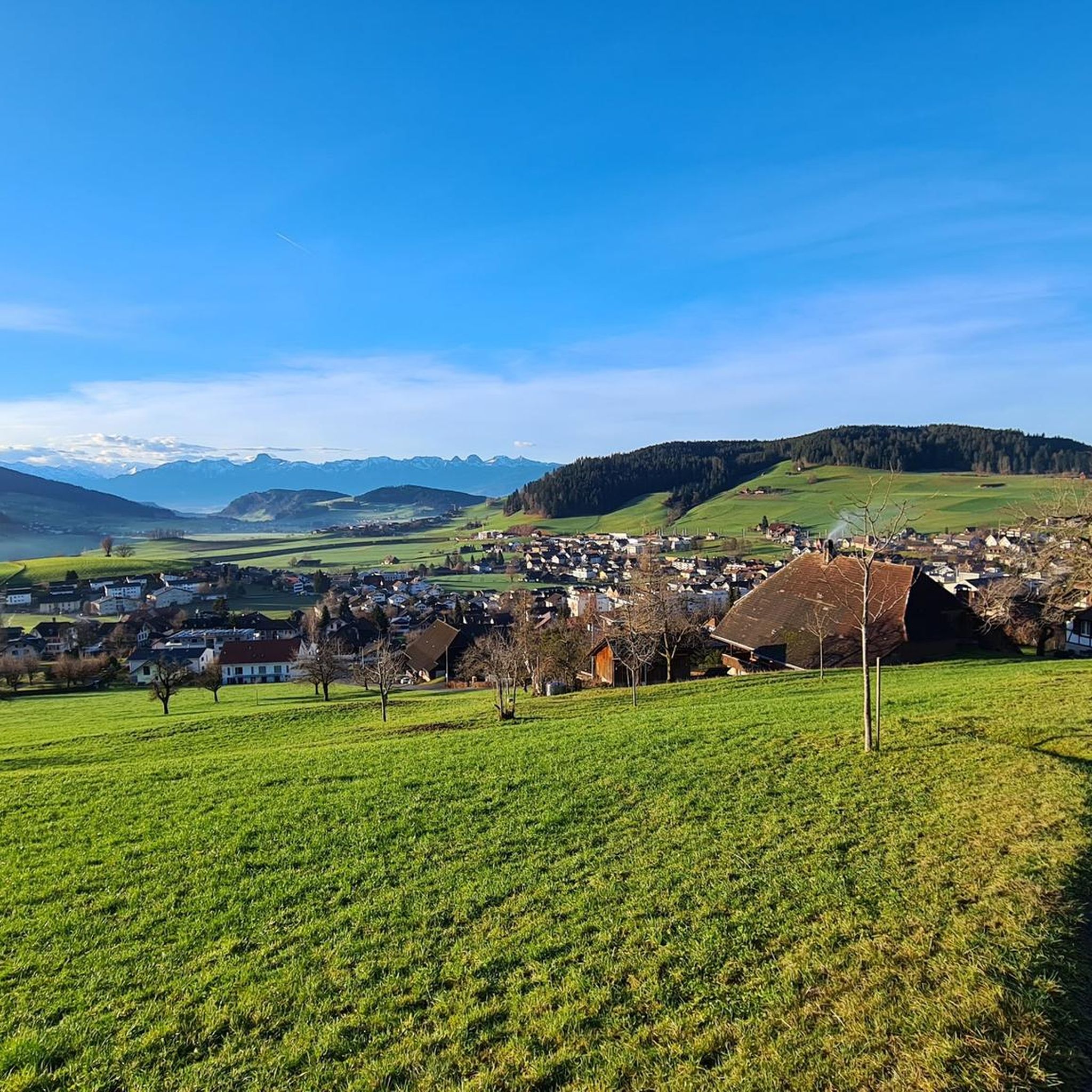
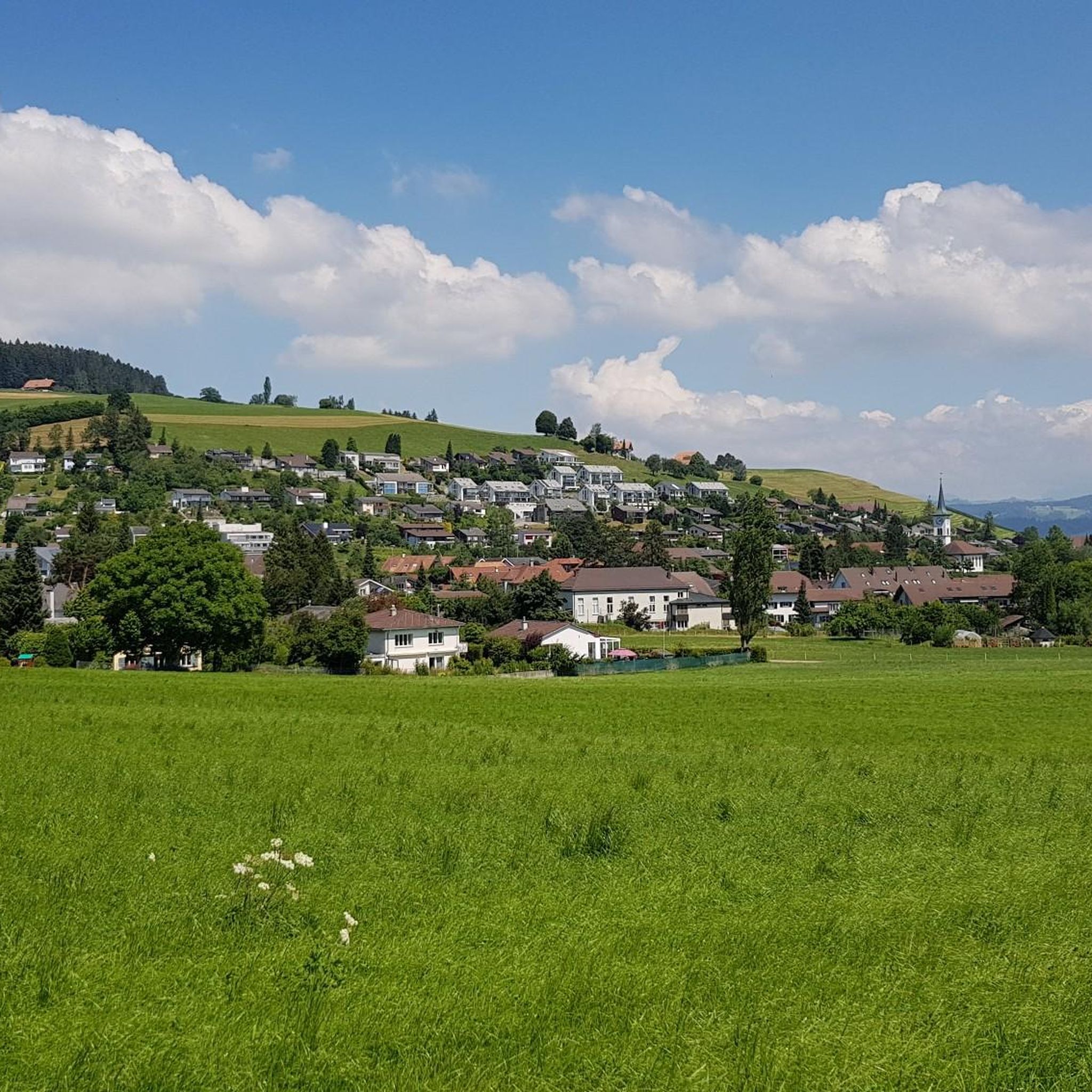
Gravel biking around Grosshöchstetten offers routes through a landscape characterized by rolling hills, river valleys, and agricultural areas, with frequent views of the distant Bernese Alps. The region features a mix of paved and unpaved paths, including gravel tracks and forest roads. Elevation changes are present, ranging from gentle inclines along rivers to more significant climbs on hillsides. This terrain provides varied conditions suitable for gravel biking.
Best gravel bike trails around Grosshöchstetten
- The most popular gravel bike trail is…
Last updated: July 9, 2026
4.8
(5)
32
riders
39.2km
02:33
600m
600m
Hard gravel ride. Very good fitness required. Mostly paved surfaces. Suitable for all skill levels.
4.6
(7)
35
riders
Moderate gravel ride. Good fitness required. Mostly paved surfaces. Suitable for all skill levels.

Sign up for free
4.8
(5)
17
riders
26.1km
01:51
500m
500m
Hard gravel ride. Very good fitness required. Mostly paved surfaces. Suitable for all skill levels.
5.0
(2)
13
riders
43.7km
03:08
860m
860m
Hard gravel ride. Very good fitness required. You may need to push your bike for some segments of this route.
12
riders
94.0km
06:16
1,730m
1,730m
Hard gravel ride. Very good fitness required. Mostly paved surfaces. Suitable for all skill levels.
Get access to more routes and recommendations from other explorers.
Sign up for free
Already have an account?
Our route recommendations are based on thousands of hikes, rides, and runs completed by other people on komoot.
Start today with a free account
Your next adventure awaits.
Login or Signup
Tips from the Community

The Belper Giesse is a nature reserve and lies between the airport and the Aare river. It is an amphibian spawning area of national importance and also a floodplain of national importance. The untouched water landscape can be beautifully observed from the path that leads here to the Aare.
1
0

The Hechtenloch is a nature reserve where entry is not permitted, but you can still see it.
0
0

Historic bridge, it is worth reading the information board about the bridge.
0
0

Original bridge but not in the original location!
0
0


gäbig um uf di besser befahrbari aemmesite ds wächsle
0
0

Only during the week, otherwise there is too much traffic
1
0

Little traffic, beautiful area.
0
0
Frequently Asked Questions
How many gravel bike trails are available around Grosshöchstetten?
There are over 50 gravel bike routes available around Grosshöchstetten, offering a wide range of options for different skill levels and preferences. The region is highly rated by the komoot community, with an average score of 4.7 stars from over 90 reviews.
Are there easy gravel bike routes suitable for beginners or families?
Yes, Grosshöchstetten offers several easy gravel bike routes. While many routes feature rolling hills, there are options with gentler inclines. For a moderate experience, consider the View of the Aare towards Thun – Aare River near Münsingen loop from Worb SBB, which is 20.2 miles (32.6 km) long and offers scenic views along the Aare River.
What kind of views and scenery can I expect on the gravel bike trails?
The gravel bike trails around Grosshöchstetten are known for their diverse scenery, including rolling hills, picturesque river valleys, and agricultural landscapes. Many routes offer frequent, stunning views of the distant Bernese Alps. You can also find routes that pass by specific viewpoints like View of Gerzensee.
Are there challenging gravel bike routes for experienced riders?
Absolutely. Grosshöchstetten features 34 difficult gravel bike routes for those seeking a greater challenge. These routes often include more significant climbs and varied terrain. A demanding option is the View of the Alps from Worbberg – Emme Covered Bridge loop from Worb Dorf, a 24.4 miles (39.2 km) path with substantial elevation changes and views from Worbberg.
Can I find circular gravel bike routes in the area?
Yes, many of the gravel bike routes around Grosshöchstetten are designed as loops, allowing you to start and end in the same location. For example, the View of the Bernese Alps – View of Bantiger loop from Worb Dorf is a popular 16.7 miles (26.8 km) circular trail offering varied terrain and panoramic views.
Are there any natural attractions or waterfalls along the trails?
Yes, the region boasts beautiful natural monuments. You can find routes that pass by the scenic Märchligenau Waterfall or offer views of Gerzensee. Exploring these natural highlights can add an extra dimension to your gravel biking adventure.
What historical sites or castles can be explored near the gravel routes?
Grosshöchstetten and its surroundings are rich in history, featuring several castles and historical sites. You might encounter Wyl Castle, the Ruins of Alt-Schloss Signau, or Utzigen Castle, offering interesting stops along your ride.
What is the typical length and duration of gravel bike routes in Grosshöchstetten?
Gravel bike routes in Grosshöchstetten vary significantly in length and duration. You can find shorter rides, like the 16.7 miles (26.8 km) loop from Worb Dorf, which takes under 2 hours. Longer, more challenging routes, such as the View from Hohwacht – Blapbach loop from Bowil, can extend to over 27 miles (43 km) and take more than 3 hours to complete.
When is the best time of year for gravel biking around Grosshöchstetten?
The best time for gravel biking around Grosshöchstetten is typically from spring through autumn (April to October). During these months, the weather is generally mild, and the trails are clear of snow, offering optimal riding conditions. Always check local weather forecasts before heading out.
Are there any less-known or 'hidden gem' gravel routes to discover?
While the region has popular routes, many of the 50+ trails offer unique experiences away from the busiest paths. Exploring routes like the View of the Bernese Alps – Schwarzbach River loop from Konolfingen can lead you to quieter sections with beautiful views and a sense of discovery.
Are there opportunities for cafe stops or refreshments along the gravel trails?
Many gravel routes in the Grosshöchstetten area pass through or near charming villages and towns where you can find local cafes, bakeries, or restaurants. Planning your route to include stops in places like Worb Dorf, Konolfingen, or Münsingen will allow for convenient refreshment breaks.
Most popular routes around Grosshöchstetten
Most popular attractions around Grosshöchstetten

Get inspired with the komoot mobile app


Explore more
Browse the best Gravel rides in other regions.
