The best gravel rides in Brøndby
4.6
(120)
1,459
riders
38
rides
Gravel biking in Brøndby offers varied terrain across its extensive green spaces, coastal areas, and historical fortifications. The municipality features a network of paths through dense woodlands like Brøndbyskoven, open meadows, and the historical Vestvolden. Riders can explore the expansive Den grønne kile, which includes open landscapes and hills, or incorporate routes around Herstedhøje Hill. These diverse environments provide a mix of unpaved sections, forest paths, and trails suitable for gravel cycling.
Best gravel bike trails in Brøndby
- The most…
Last updated: August 27, 2026
4.6
(34)
248
riders
41.7km
02:13
150m
150m
Moderate gravel ride. Good fitness required. Mostly paved surfaces. Suitable for all skill levels.
3.9
(12)
223
riders
65.7km
03:32
180m
180m
Moderate gravel ride. Good fitness required. Mostly paved surfaces. Suitable for all skill levels.

Sign up for free
4.5
(4)
127
riders
58.6km
03:17
240m
240m
Hard gravel ride. Good fitness required. You may need to push your bike for some segments of this route.
4.3
(6)
127
riders
49.0km
02:32
160m
160m
Hard gravel ride. Good fitness required. You may need to push your bike for some segments of this route.
4.7
(11)
133
riders
65.5km
03:44
380m
380m
Moderate gravel ride. Good fitness required. Mostly paved surfaces. Suitable for all skill levels.
Get access to more routes and recommendations from other explorers.
Sign up for free
Already have an account?
Our route recommendations are based on thousands of hikes, rides, and runs completed by other people on komoot.
Start today with a free account
Your next adventure awaits.
Login or Signup
Tips from the Community

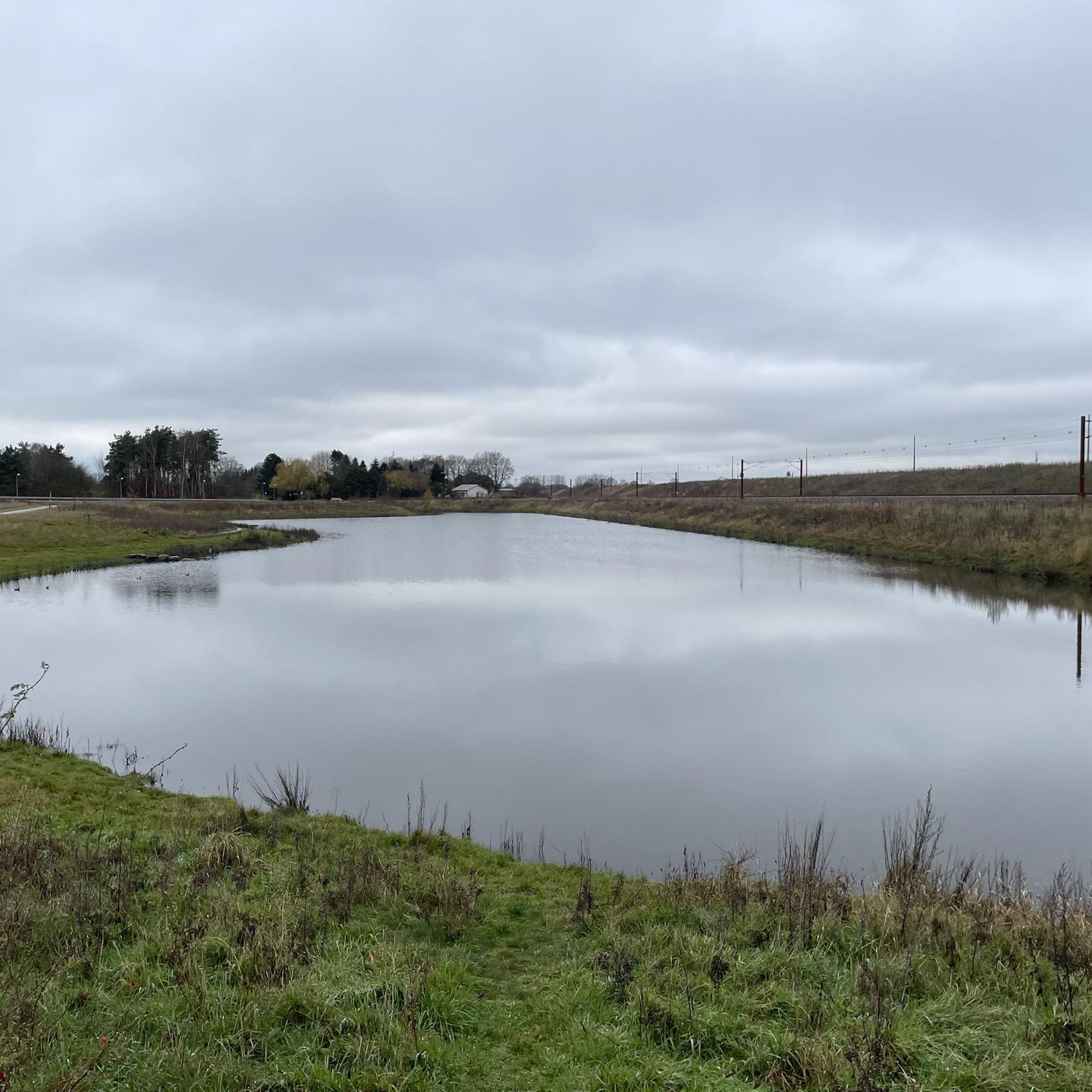
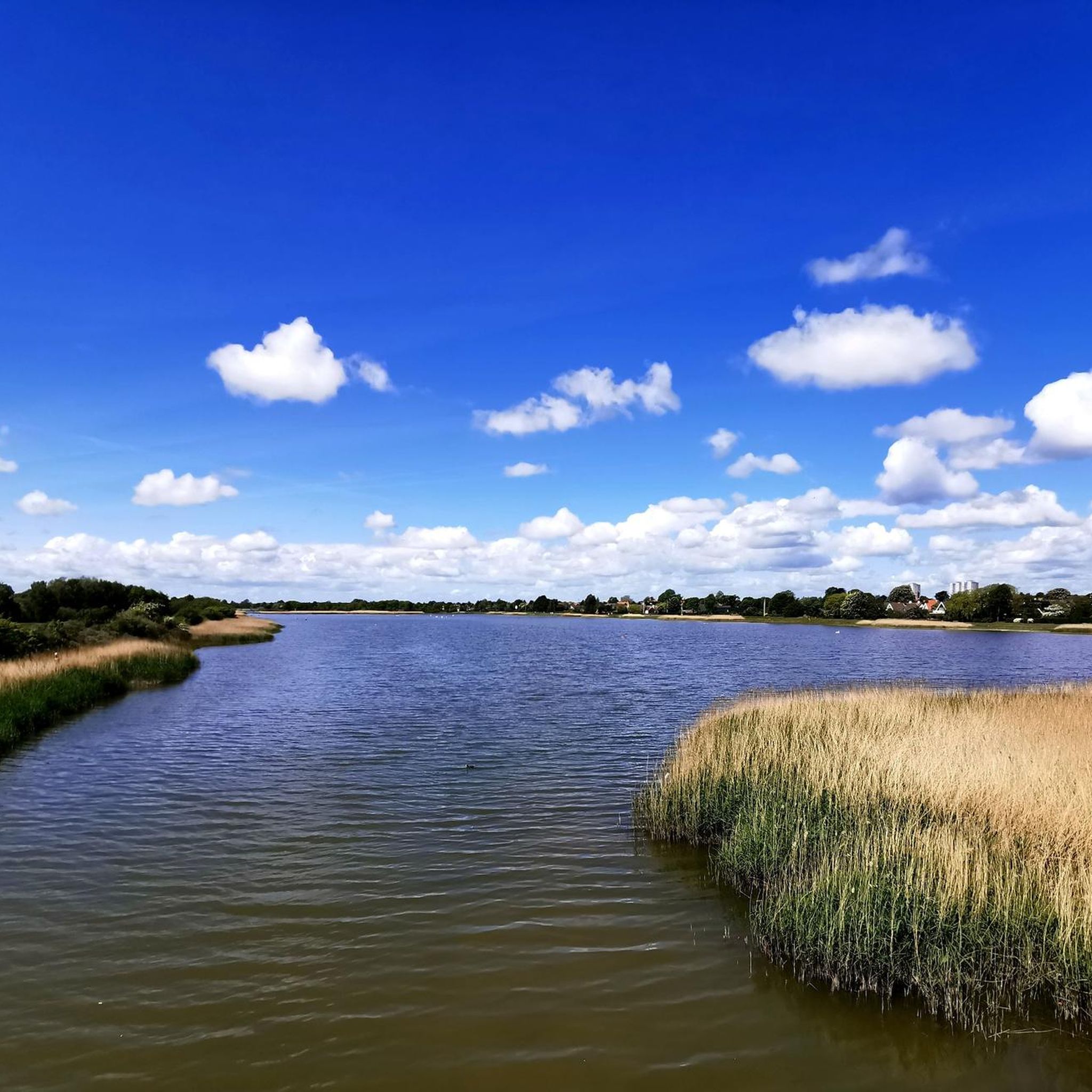
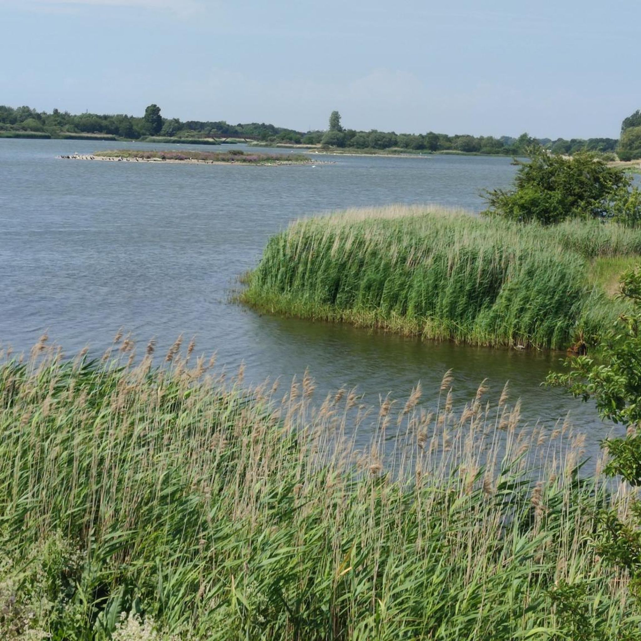
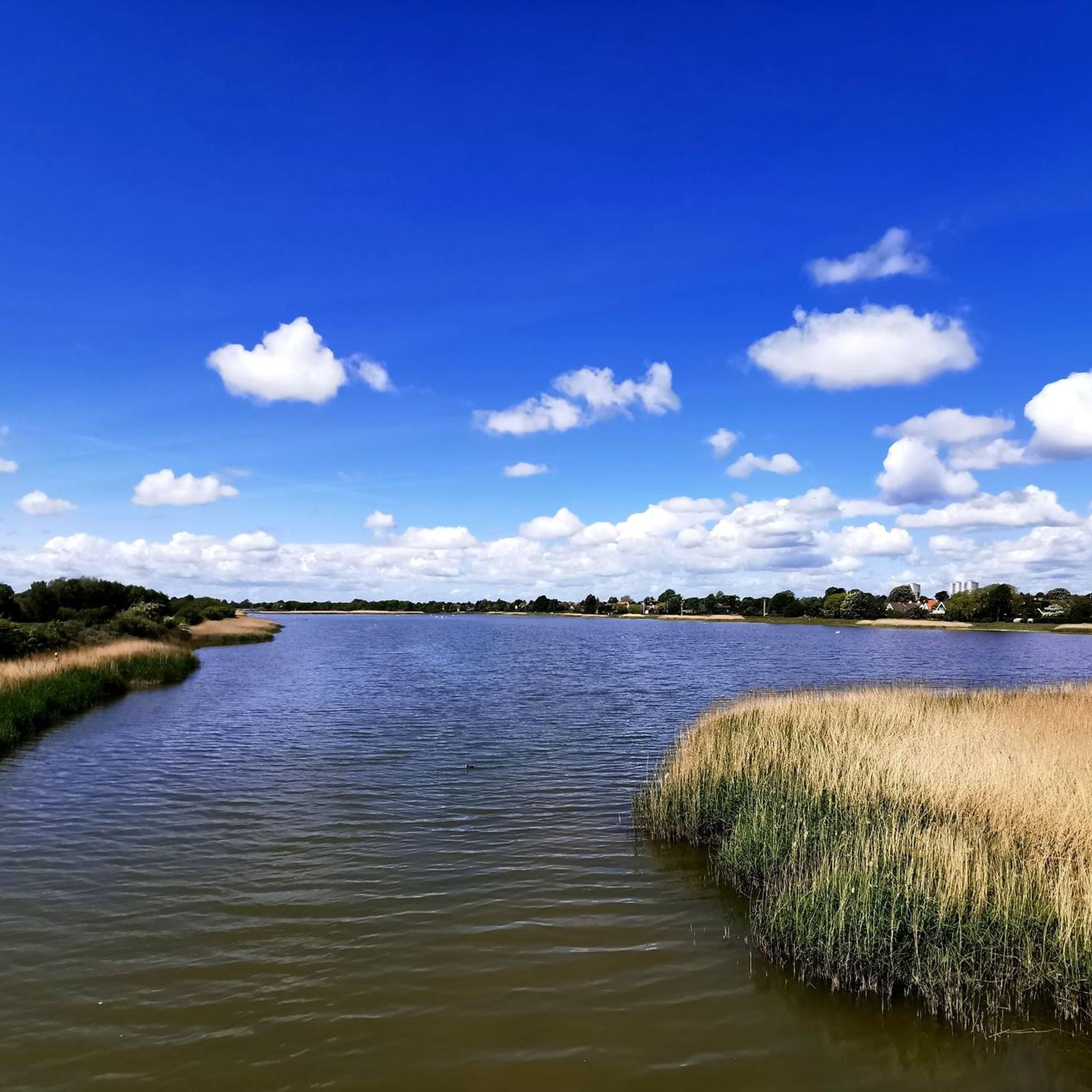
it is indeed a small detour over this headland here but still highly recommended: it is a beautiful path through beautiful water landscape. Top!
0
0

Nice wide cycle path along the main road necessary.
1
0

Strandvejen is a 38 km long road that begins at Svanemøllen Station in Østerbro in Copenhagen, an extension of Østerbrogade, and runs along the east coast of Zealand to Helsingør. There is space for cyclists, walkers and runners with views of the Øresund Strait.
0
0

A small crossing over the historic Vestvolden ramparts, offering a clear view of the old fortification line and the grassy embankments that once formed Copenhagen’s outer defence.
0
0
Beautiful hills with a lovely bike road below. The hills can also be climbed by foot or mountain bike and give some views from top.
0
0
Beautiful hills with a lovely bike road passing by. The hills can also be climbed by foot or mountain bike.
0
0

When coming from the south, fast descend into Vridsløsemagle
0
0

Cozy and relatively close campsite in Copenhagen.
0
0
Frequently Asked Questions
How many gravel bike trails are available in Brøndby?
Brøndby offers a wide selection of gravel biking routes, with over 60 trails recorded on komoot. These routes cater to various skill levels, including 16 easy, 25 moderate, and 19 difficult options.
What kind of terrain can I expect on Brøndby's gravel bike trails?
Brøndby's gravel trails feature diverse terrain, ranging from dense woodlands in areas like Brøndbyskoven to open meadows and historical fortifications such as Vestvolden. You'll encounter a mix of unpaved sections, forest paths, and trails through natural areas, including the expansive Den grønne kile. Some routes, particularly around Herstedhøje Hill, offer challenging unpaved sections and significant elevation changes.
Are there any family-friendly gravel biking options in Brøndby?
While specific family-friendly routes are not highlighted, Brøndby's extensive green spaces and parks like Esplanadeparken and Brøndbyskoven offer numerous paths that could be suitable for families. Look for the 'easy' graded routes on komoot, which typically feature less challenging terrain and shorter distances. For instance, the Brøndbyskoven area has marked trails that are generally accessible.
Can I bring my dog on the gravel bike trails in Brøndby?
Many of Brøndby's natural areas, such as Brøndbyskoven and Den grønne kile, are popular for outdoor activities and generally permit dogs, often requiring them to be on a leash. It's always best to check local signage or specific park regulations for the route you plan to ride to ensure dog-friendly policies.
What are some notable landmarks or attractions I can see along the gravel bike trails?
Many gravel routes in Brøndby pass by or near interesting natural and historical sites. You might encounter Damhus Lake (Damhus Lake) or the scenic Herstedhøje (Herstedhøje) summit, which offers panoramic views. The historical Vestvolden fortification also provides a unique backdrop for rides. Further afield, you could visit highlights like Kastellet Fortress (Kastellet Fortress) or The Royal Library Garden (The Royal Library Garden).
Are there any circular gravel bike routes in Brøndby?
Yes, many of the gravel bike routes in Brøndby are designed as loops, allowing you to start and end at the same point. Examples include the moderate Herstedhøje Hill – Damhus Lake loop from Peter Bangs Vej, which navigates around Damhus Lake, and the more challenging View of Herstedhøje – Herstedhøje loop from Taastrup.
What is the best time of year for gravel biking in Brøndby?
Gravel biking in Brøndby is enjoyable through much of the year. Spring and autumn offer pleasant temperatures and beautiful scenery. Summer is also great, though some paths might be busier. During winter, conditions can vary; while some trails remain rideable, be prepared for potentially muddy or icy sections, especially on unpaved routes through forests and fields.
Are there any advanced or difficult gravel bike routes in Brøndby?
Absolutely. Brøndby offers several challenging routes for experienced gravel bikers. The area around Herstedhøje Hill is known for its more demanding terrain and elevation. A difficult option is the Kystenvejen Coastal Cycle Path – Raadvad Lake loop from Valby, which covers over 66 km and includes significant ascents. Another challenging route is the View of Herstedhøje – Herstedhøje loop from Taastrup, spanning nearly 80 km.
What do other gravel bikers say about the trails in Brøndby?
The gravel biking community highly rates the trails in Brøndby, with an average score of 4.7 stars from over 90 reviews on komoot. Riders often praise the varied terrain, the combination of green spaces and historical elements, and the well-maintained network of paths that make for engaging rides.
How long are the gravel bike trails in Brøndby typically?
The length of gravel bike trails in Brøndby varies significantly. You can find shorter routes suitable for quick rides, but many popular options are longer. For example, the Herstedhøje Hill – Herstedhøje loop from Valby is about 66 km, and the Skrædderholmen Bridge – Sivstien–Magestien Cycleway loop from Vallensbæk is over 60 km. There are also longer, more challenging routes that can exceed 70 km.
Is public transport or parking available near the gravel trails in Brøndby?
Brøndby is well-connected within the Copenhagen metropolitan area, making public transport a viable option to reach trailheads. Many routes start from or pass through areas accessible by train or bus. For those driving, parking is generally available near major parks and recreational areas, though specific parking availability can vary by trailhead. It's advisable to check the starting point of your chosen route for detailed parking information.
Most popular attractions in Brøndby

Get inspired with the komoot mobile app


Explore more
Browse the best Gravel rides in other regions.
