The best gravel rides in Savoie
4.5
(176)
1,931
riders
194
rides
Gravel biking in Savoie offers diverse terrain across the French Alps, characterized by challenging alpine climbs, scenic lakeside paths, and extensive networks of gravel-friendly routes. The region features numerous mountain passes, deep valleys, and forests, providing varied landscapes for exploration. Terrain ranges from mostly paved surfaces suitable for all skill levels to technical, steep, and rocky passages.
Best gravel bike trails in Savoie
- The most popular gravel bike trail is The thirsty road, a 26.8 miles (43.2 km) trail…
Last updated: May 21, 2026
4.7
(3)
34
riders
43.2km
05:22
1,320m
1,320m
Hard gravel ride. Very good fitness required. Mostly paved surfaces. Suitable for all skill levels.
5.0
(10)
118
riders
65.3km
04:49
1,560m
1,560m
Hard gravel ride. Very good fitness required. Mostly paved surfaces. Suitable for all skill levels.

Sign up for free
20
riders
37.8km
03:13
1,140m
1,140m
Hard gravel ride. Very good fitness required. Mostly paved surfaces. Suitable for all skill levels.
5.0
(3)
17
riders
28.3km
01:46
340m
340m
Moderate gravel ride. Good fitness required. Mostly paved surfaces. Suitable for all skill levels.
5.0
(2)
20
riders
28.9km
02:18
870m
870m
Hard gravel ride. Very good fitness required. Mostly paved surfaces. Suitable for all skill levels.
10
riders
Hard gravel ride. Very good fitness required. Mostly paved surfaces. Suitable for all skill levels.
5.0
(1)
31
riders
82.4km
06:51
2,910m
2,910m
Hard gravel ride. Very good fitness required. Mostly paved surfaces. Suitable for all skill levels.
26
riders
66.0km
05:40
1,950m
1,950m
Hard gravel ride. Very good fitness required. Mostly paved surfaces. Suitable for all skill levels.
5.0
(3)
51
riders
63.4km
05:06
1,920m
1,920m
Hard gravel ride. Very good fitness required. Mostly paved surfaces. Suitable for all skill levels.
4.5
(2)
11
riders
21.5km
01:32
340m
340m
Moderate gravel ride. Good fitness required. Mostly paved surfaces. Suitable for all skill levels.
Get access to more routes and recommendations from other explorers.
Sign up for free
Already have an account?
Our route recommendations are based on thousands of hikes, rides, and runs completed by other people on komoot.
Start today with a free account
Your next adventure awaits.
Login or Signup
Popular around Savoie
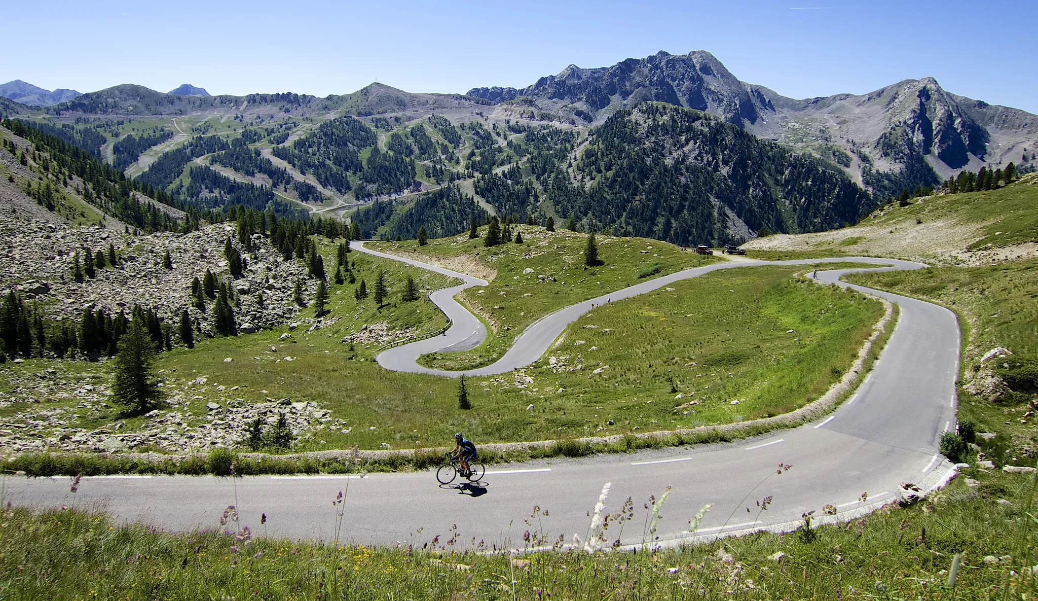
Haute Route Alps 2025 — Assaulting the Alps
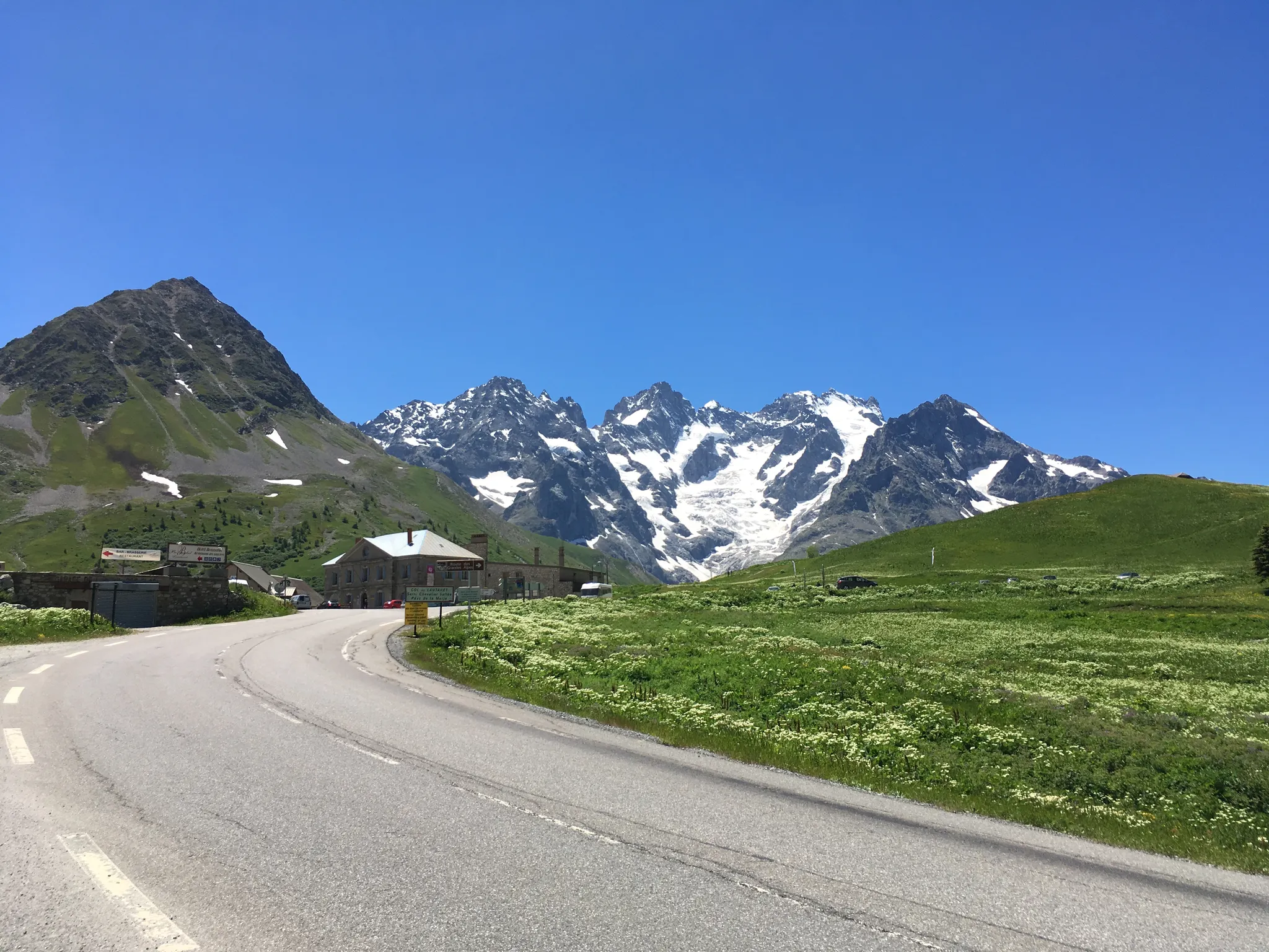
La Marmotte — Panoramas and Mythical Passes
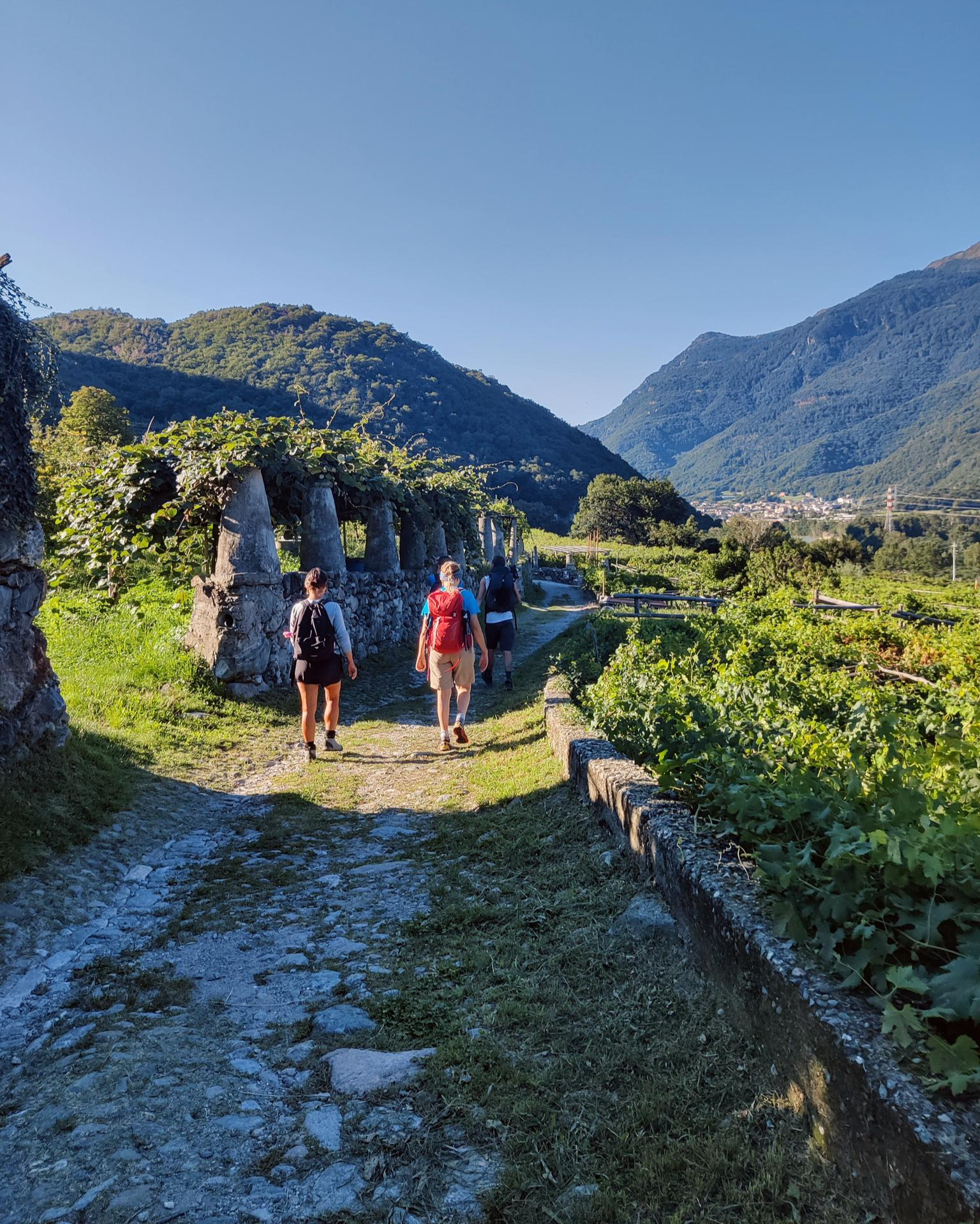
Historic and spiritual trails in the province of Torino
Piemont's Via Francigena

GR 5 – The Europe Trail from the Mediterranean to Germany

Transalps MTB – Chamonix to the Mediterranean Sea
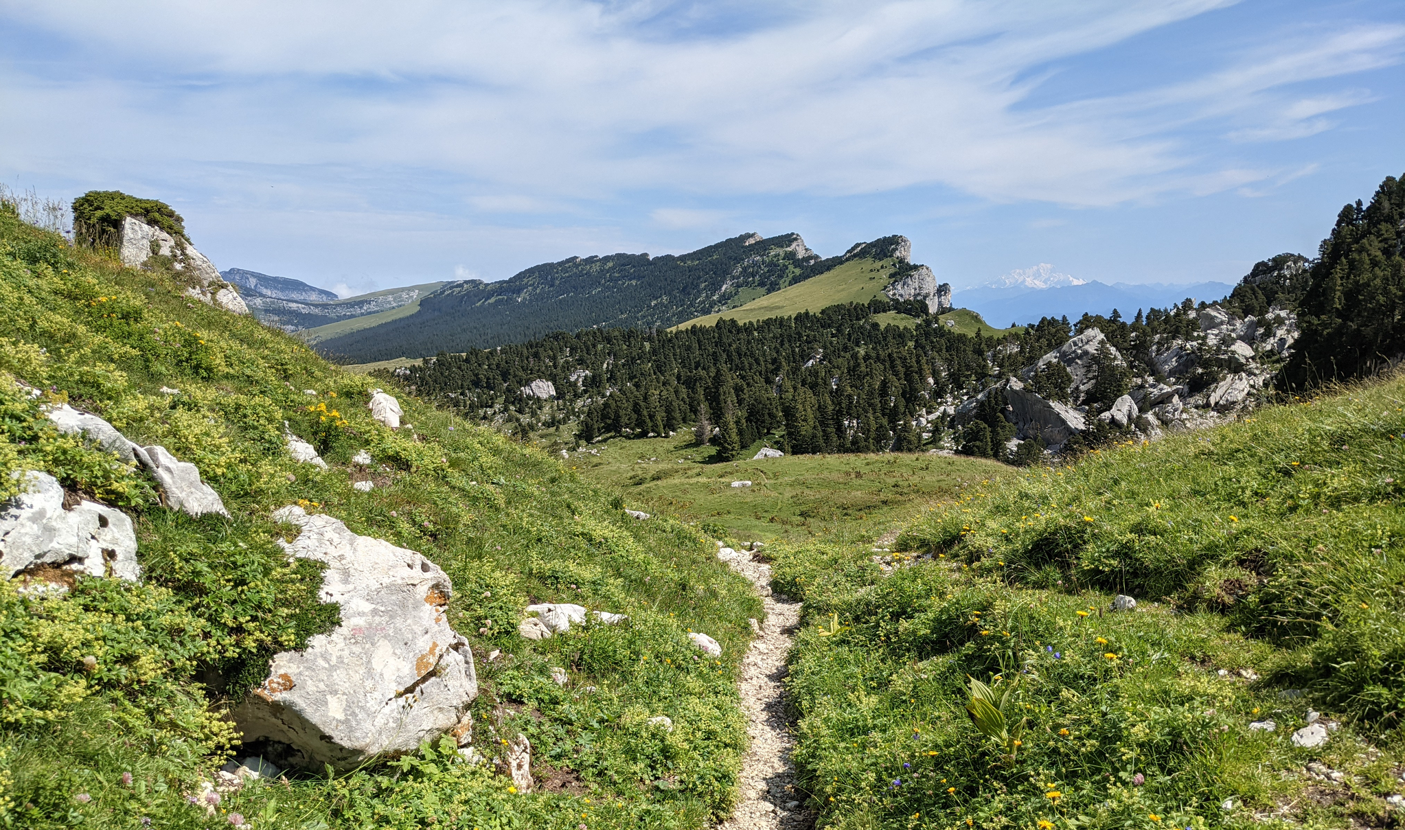
Crossing the Chartreuse – History in the making
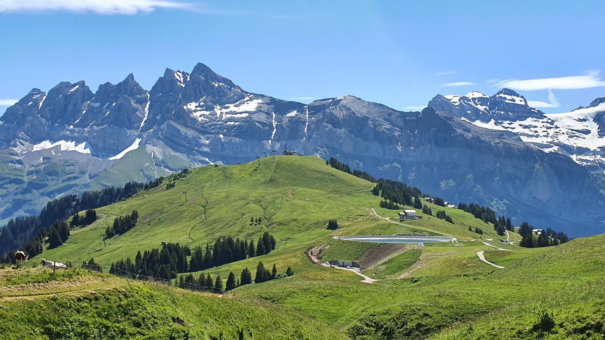
Europe Trail (GR 5) – Hike from Landry to Thonon-les-Bains
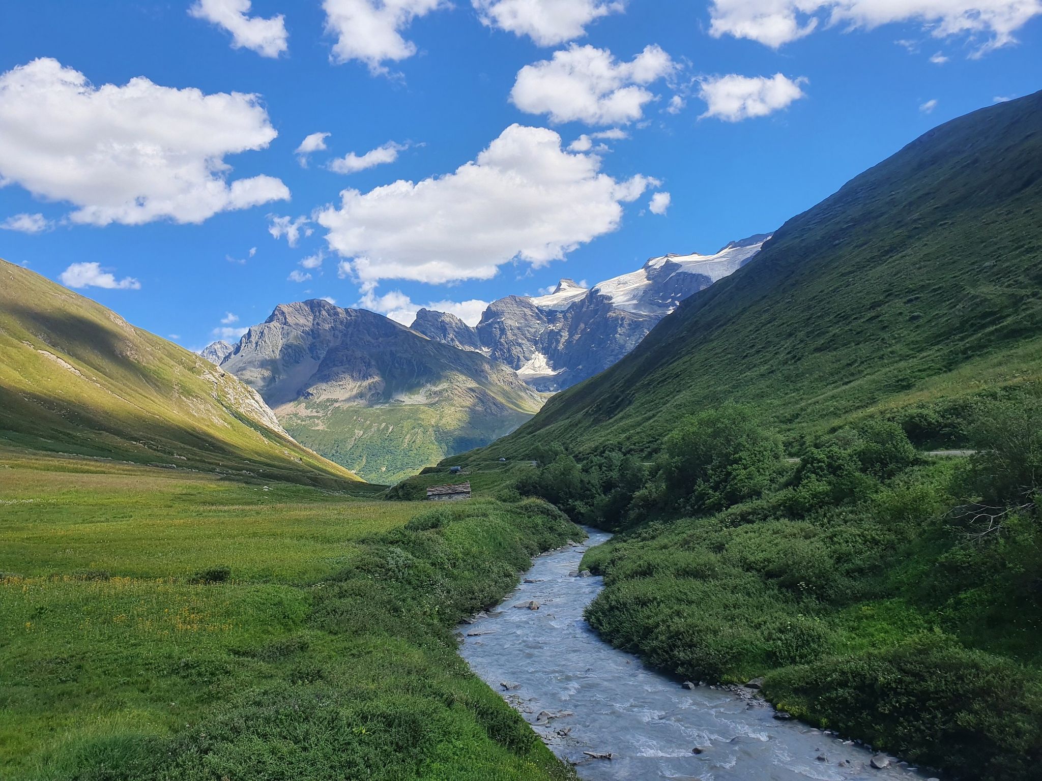
Europe Trail (GR 5) – Hike from Briançon to Landry
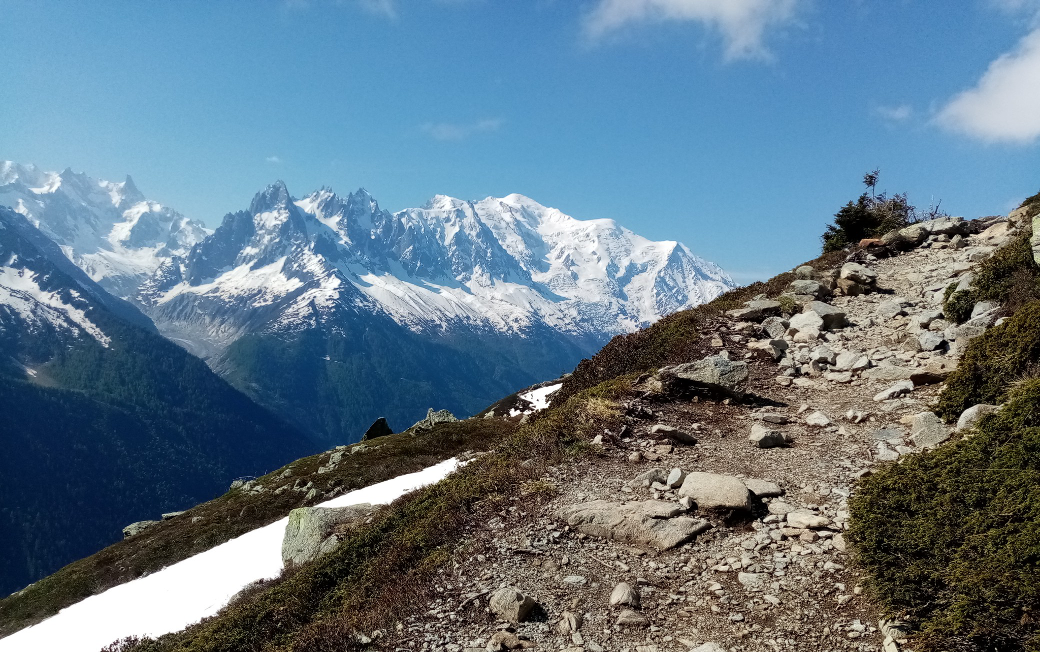
Ultra-Trail du Mont-Blanc – following the footsteps of legends
Other adventures in Savoie


Tips from the Community

When a break is in order... A must-see stop. Contrary to what many claim, there's no view of the lake! But still very pleasant.
0
0

The perfect place for a break...
0
0
I went for a walk before the skiers arrived. Lovely village...
0
0

Steady and gradual climb to the Col de Chérel. Easy gravel ride
0
0

The Roselend Dam is located in the commune of Beaufort-sur-Doron, in the Beaufortain region of Savoie, between the Col du Pré and the Cormet de Roselend, near the Arêches-Beaufort ski resort. The surrounding mountains reach an altitude of around 2,800 meters. It is part of the Roselend La Bâthie hydroelectric complex, which includes the Roselend Dam and two satellite dams: La Gittaz and Saint-Guérin. This complex is managed by EDF's Alpes Production Unit. The Roselend La Bâthie hydroelectric complex produces the equivalent of the domestic energy consumption of 450,000 residents, thus avoiding the emission of 890,000 tons of CO2 per year. The Roselend Dam is a double-curved arch dam with buttresses. Height = 150 meters Crest length = 804 meters Water reservoir [of the hydroelectric complex] = 187 million m3 The Roselend - La Bâthie development is supplied by the Roselend dam itself, as well as by two satellite dams, La Gittaz and Saint-Guérin. The total storage capacity of these three reservoirs, connected by a system of galleries, is 213 million m3. The water collected at Roselend crosses the massif through a 12.5 km long gallery to flow at an altitude of 1,400 m into the Isère Valley, in the Tarentaise region. It is then transported to the underground plant at La Bâthie via a 2,500 m long penstock, with a drop of 1,200 m. The power plant is equipped with six Pelton-type generating units with a total capacity of 550 MW. Since 2013, EDF has been replacing the main components of each generating unit (turbine, generator, transformer, and energy evacuation cables) to achieve a total capacity of 600 MW by the end of 2018. https://youtu.be/G0Ss9v6wxQQ
1
0

From the hill towards the lake, in a panorama between Scotland and the Alps. Breathtaking.
0
0
Intersection point Refuge du Plan de la Lai Altitude 1815m
1
0
Frequently Asked Questions
How many gravel bike trails are available in Savoie?
Savoie offers a vast network of gravel biking opportunities, with over 250 routes available on komoot. These range from moderate loops to highly challenging long-distance adventures, catering to various skill levels.
What kind of terrain can I expect on gravel bike trails in Savoie?
The terrain in Savoie is incredibly diverse, reflecting its position in the French Alps. You'll find everything from mostly paved surfaces suitable for all skill levels to technical, steep, loose, and rocky passages that demand advanced riding skills and good fitness. Routes often feature challenging alpine climbs, scenic lakeside paths, and extensive forest tracks.
When is the best time of year for gravel biking in Savoie?
The ideal time for gravel biking in Savoie is during spring and summer, when temperatures are mild, wildflowers are abundant, and skies are generally clear. Autumn also offers excellent conditions with vibrant foliage. Some high-altitude routes may be inaccessible due to snow outside these seasons.
Are there any easy or beginner-friendly gravel routes in Savoie?
While many routes in Savoie are classified as difficult due to the mountainous terrain, there are some moderate options available. For example, the Tourbière des Creusates – La Féclaz loop from Chambéry is a moderate 28.3 km route that offers a less strenuous experience compared to the high alpine passes.
What are some challenging long-distance gravel biking options in Savoie?
For experienced riders seeking a significant challenge, Savoie offers routes like the Roselend Chapel – Roselend Dam loop from Résidence Les Rives, which spans over 94 km with substantial elevation gain. The region is also part of the legendary Route des Grandes Alpes Gravel®, an 857 km journey through major passes, though this is a multi-day expedition.
Are there any circular gravel bike routes in Savoie?
Yes, many gravel routes in Savoie are designed as loops, allowing you to start and finish at the same point. Examples include the Cycle tunnel – Leschaux Pass loop from Le Châtelard, the View of Lake Mont Cenis – Col de Sollières loop from Tagliata de la Cassa, and the Col de l'Arpettaz – Route de la Soif loop from Col de L'Arpettaz.
What natural landmarks or attractions can I see along gravel bike trails in Savoie?
Savoie is rich in natural beauty. You can encounter stunning mountain passes like Col du Galibier and Col des Aravis, picturesque lakes such as Lake Annecy and Lac du Bourget, and the pristine landscapes of Vanoise National Park. The Chanaz – Savoy's Little Venice also offers a charming stop.
Are there any waterfalls accessible from gravel bike routes in Savoie?
Yes, Savoie features several beautiful waterfalls. You might find yourself near the Saint-Même Cirque Waterfalls, the Cascade de la Doriaz, or the Pissieu Waterfall, offering refreshing sights during your ride.
What do other gravel bikers enjoy most about gravel biking in Savoie?
The komoot community highly rates gravel biking in Savoie, with an average score of 4.5 stars from over 200 reviews. Riders frequently praise the region's diverse and breathtaking landscapes, the challenging alpine climbs, and the extensive network of gravel-friendly routes that allow exploration away from paved roads.
Are there gravel routes suitable for families in Savoie?
While many routes are challenging, areas around Lake Annecy and Lac du Bourget offer more gentle, picturesque lakeside paths that can be suitable for families. It's recommended to look for routes with lower difficulty ratings and less elevation gain, such as the moderate options, for a family-friendly experience.
Can I find gravel bike routes with amenities like cafes or accommodation along the way in Savoie?
Many gravel routes in Savoie pass through or near charming alpine villages and towns like Annecy, Morzine, and Pralognan-la-Vanoise. These locations typically offer cafes, restaurants, and accommodation options. Planning your route to include these villages can provide convenient stops for refreshments and overnight stays.
Are there options for public transport access to gravel trails in Savoie?
Savoie has a public transport network that can help access various starting points for gravel trails, particularly in and around larger towns like Chambéry and Annecy. However, access to more remote alpine trailheads might be limited. It's advisable to check local bus or train schedules and bike transport policies for specific routes.
Most popular routes in Savoie
Most popular attractions in Savoie

Get inspired with the komoot mobile app


Explore more
Browse the best Gravel rides in other regions.
