The best gravel rides in Colorado
4.6
(397)
8,228
riders
501
rides
Gravel biking in Colorado offers diverse terrain across its varied landscapes, from challenging alpine passes in the Rocky Mountains to high desert basins and rolling plains. Riders can navigate routes that combine smooth tarmac with crushed gravel paths and unpaved rural roads. The state's topography includes canyons, red rock formations, and extensive forests, providing a wide range of environments for gravel cycling. This diverse geology supports routes suitable for various skill levels, from beginner-friendly loops to multi-day bikepacking adventures.
Best gravel bike trails in Colorado
- The most popular gravel bike trail is Rocky Mountain Arsenal National Wildlife Refuge Perimeter Trail, a 27.0 miles (43.4 km) trail that takes 3 hours 57 minutes to complete, offering views of wildlife and open landscapes.
- Another top favourite among local gravel bikers is Coal Creek and Rock Creek Trail Loop, a moderate 33.1 miles (53.2 km) path. This route features scenic views of streams and local wildlife in the Boulder area.
- Local gravel bikers also love the Boreas Pass Road, a 17.6 miles (28.4 km) trail leading through alpine scenery and historic areas, often completed in about 2 hours 19 minutes.
- Gravel biking in Colorado is defined by alpine passes, high desert basins, and red rock formations. The extensive network of routes offers options for all ability levels, from easy loops to challenging mountain climbs.
- The routes in Colorado are highly rated by the komoot community with an average score of 4.6 stars from over 300 reviews. More than 7,000 gravel bikers have used komoot to explore Colorado's varied terrain.
Last updated: October 10, 2026
3.6
(5)
91
riders
43.4km
03:58
130m
130m
The Rocky Mountain Arsenal National Wildlife Refuge Perimeter Trail offers a unique gravel biking experience, transporting you from urban fringes to a thriving prairie ecosystem. You'll traverse wide, non-technical gravel paths, passing wetlands and grasslands, with frequent opportunities to spot bison, deer, and raptors. The route provides open vistas and even a distant view of Downtown Denver from Henderson Hill, making it a rewarding journey through nature.
This moderate 27.0-mile (43.4 km) loop involves a manageable 439 feet (134 metres) of elevation gain, taking approximately 3 hours and 57 minutes to complete. Remember to bring all your water, as none is available on the trail, and consider tubeless tires (40mm or wider) to guard against goat's head weeds. Dogs are generally not allowed within the main refuge area.
This trail is a testament to conservation, transforming a former toxic site into a vibrant wildlife sanctuary home to over 330 species. It's an excellent choice for beginner gravel biking or as a training route, offering a long, relatively flat ride where the primary challenge is the distance and potential for varied terrain conditions.
4.4
(22)
63
riders
53.2km
03:34
300m
300m
This moderate 33.1-mile gravel biking loop offers scenic views of the Rocky Mountains, streams, and wildlife in Boulder County.

4.8
(4)
48
riders
28.4km
02:19
590m
590m
Experience challenging gravel biking on Boreas Pass Road, featuring panoramic mountain views, aspen forests, and historic sites near Brecken
38
riders
48.0km
04:31
1,230m
1,230m
Tackle the challenging 29.8-mile Old Fall River Road & Trail Ridge Road gravel loop in Rocky Mountain National Park, gaining 4026 feet.
10
riders
52.9km
03:49
660m
660m
This difficult 32.9-mile gravel biking loop combines the Boulder Creek Path with a challenging climb up Flagstaff Mountain, offering panoram
5.0
(1)
8
riders
87.9km
07:36
1,530m
1,530m
This difficult 54.6-mile gravel biking loop near Avon offers rugged terrain, stunning mountain views, and a challenging 5020-foot climb.
3
riders
69.6km
05:11
250m
250m
Tackle the Poudre and Great Western Trail Loop, a challenging 43.3-mile gravel biking route with 830 feet of climbing.
75.2km
05:53
1,230m
1,230m
The Carbondale loop via Rio Grande Trail offers a challenging and scenic gravel biking experience through the Roaring Fork Valley. You'll traverse a mix of asphalt and compacted gravel, with significant climbs that lead to breathtaking views of the Roaring Fork River and the iconic Mount Sopris. It's a demanding 46.7-mile (75.2 km) journey that truly showcases the region's natural beauty.
Rated as difficult, this loop involves a substantial 4039 feet (1231 metres) of elevation gain and typically takes around 5 hours and 52 minutes. It requires very good fitness, so plan accordingly. Starting from Carbondale, ensure you're well-prepared with water and supplies, especially during warmer weather, as the full loop extends beyond the gentler sections of the main Rio Grande Trail.
This route is a highlight for gravel enthusiasts, combining the historic rails-to-trails corridor of the Rio Grande Trail with more rugged dirt roads. It acts as a cycling spine for the valley, connecting communities and offering a rich mix of Colorado's diverse landscapes. The varied terrain, including "Colorado Champagne gravel," makes it a rewarding adventure for those seeking a demanding ride.
4.8
(18)
186
riders
52.5km
03:28
360m
360m
Moderate gravel ride. Good fitness required. Mostly paved surfaces. Suitable for all skill levels.
5.0
(5)
150
riders
27.4km
01:53
620m
620m
Hard gravel ride. Very good fitness required. Mostly paved surfaces. Suitable for all skill levels.
Get access to more routes and recommendations from other explorers.
Already have an account?
Our route recommendations are based on thousands of hikes, rides, and runs completed by other people on komoot.
Start today with a free account
Your next adventure awaits.
Popular around Colorado

Gravel biking in the Front Range
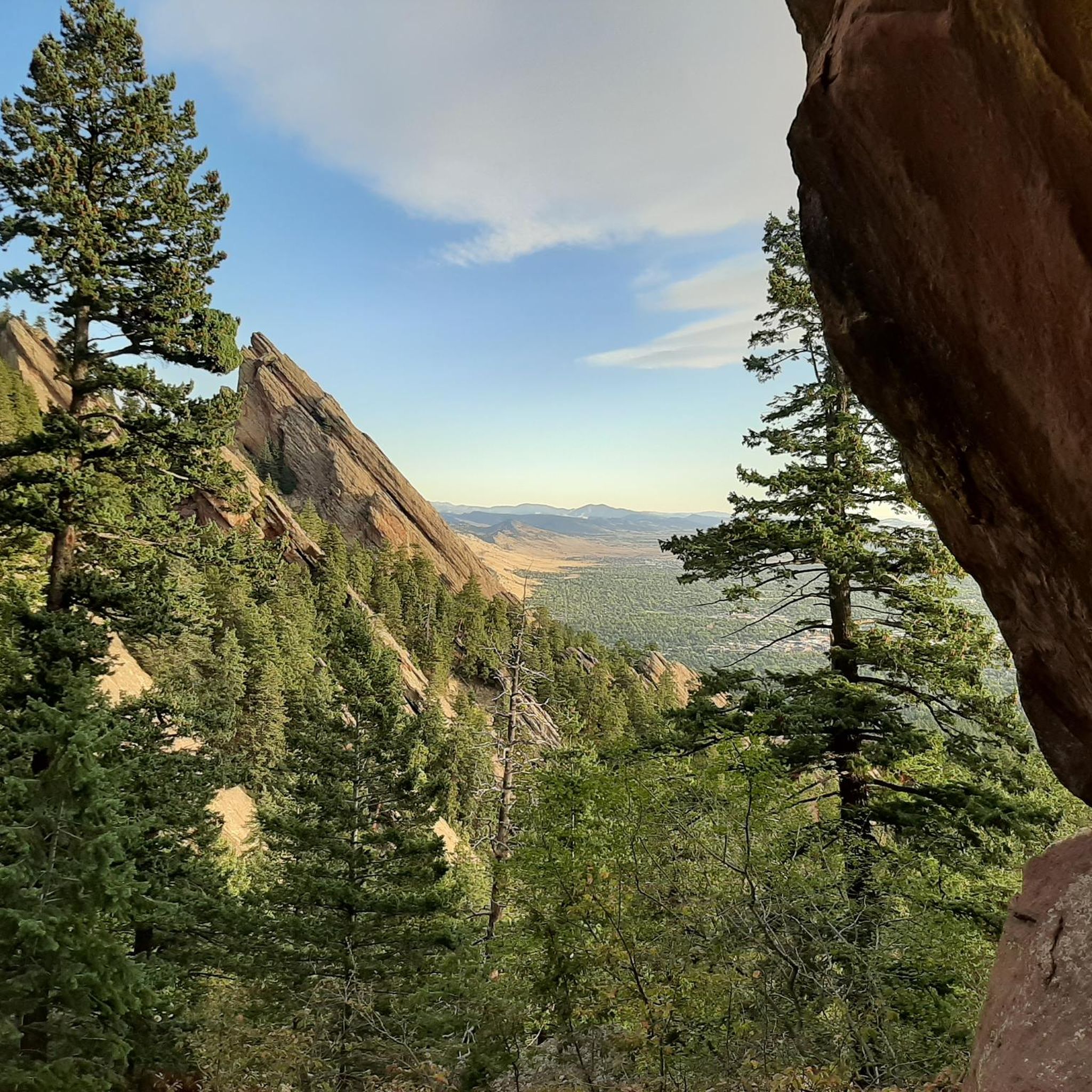
Gravel biking in Boulder County
Gravel biking in Weld County

Gravel biking in Larimer County
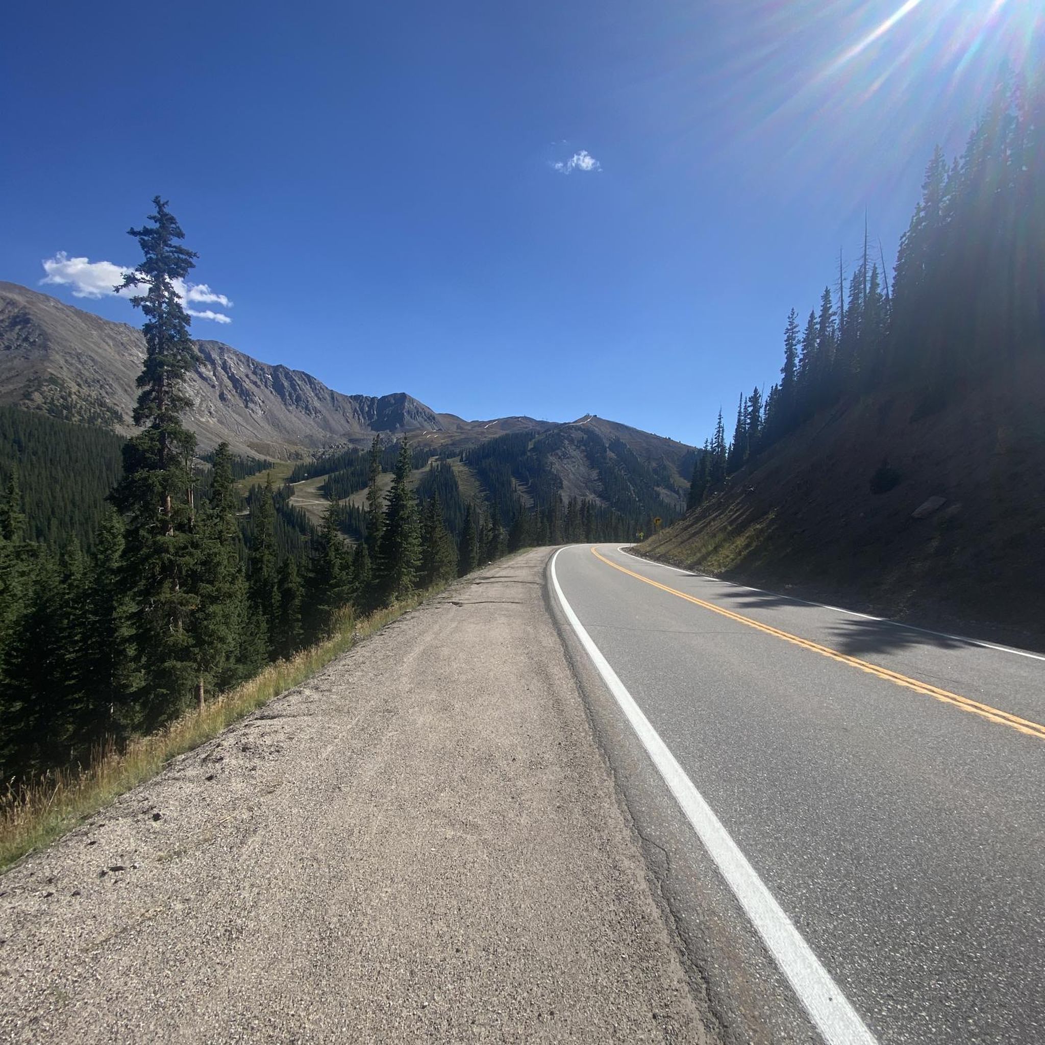
Gravel biking in Arapaho And Roosevelt National Forests
Gravel biking in the Sawatch Range
Gravel biking in White River National Forest

Gravel biking in Jefferson County
Gravel biking in Arapahoe County

Gravel biking in Douglas County
Other adventures in Colorado


Tips from the Community

… this is just perfect for starting into the wild …
0
0

The Henderson Hill trail is a short out and back paved trail to a low rise in old Rocky Mountain Arsenal area, now a wildlife refuge. Even though the difference in elevation is minimal the view is far reaching to the east and south. You can actually reach this spot using only bikepaths (route5) from Commerce City. See this ride https://www.komoot.com/tour/2710436405?share_token=aTyj2lJ1YHiQOhPskXyq8prHxb5AoOId67IJs0FNb2tJwCStGp&ref=wtd. The way that this ride got around the east side of the refuge is not recommended though.
0
0

The "Waterton Canyon Recreation Area" trailhead sign here marks the Colorado Trail's Northern Terminus. It's a photo opportunity for thru-hikers continuing all the way south to Durango, a journey that stretches almost 500 miles.
0
0


This is a beautifully remote stretch of gravel, just outside the Eagles Nest Wilderness. The road intersects with many others along its route so the possibilities to explore further are abundant.
0
0

The Rio Grande Trail is 42 miles between Glenwood Springs and Aspen. The trail is fully paved and traffic-free, except for crossings at intersections. This is a beautiful section that takes you into Carbondale.
0
0
This trail runs through the valley along the Eagle River and I-70 corridor. It connects many towns and parks and offers great views along the way. It is a paved, multi-use path, so be courteous to your fellow trail users who may be going along at a slower pace.
0
0
Rock Creek Trail stretches 12 miles from Majestic Drive in Lafayette to Coalton Road and McCaslin Boulevard in Superior. The surface consists of crushed gravel, and the entire length is car-free.
1
0
Frequently Asked Questions
How many gravel bike trails are available in Colorado?
Colorado offers a vast network for gravel biking, with over 500 routes available on komoot. This includes a wide range of options, from easy loops to challenging multi-day adventures across diverse terrain.
What do other gravel bikers enjoy about the trails in Colorado?
The komoot community highly rates the gravel biking experience in Colorado, with an average score of 4.6 stars from over 300 reviews. Riders frequently praise the state's diverse landscapes, from alpine passes to red rock formations, and the variety of routes that cater to all skill levels. Many appreciate the opportunity to explore stunning natural beauty and historic areas.
What is the best time of year for gravel biking in Colorado?
The best time for gravel biking in Colorado generally spans from late spring through early fall (May to October). During these months, most alpine passes are clear of snow, and the weather is typically favorable. However, lower elevation and high desert routes can be enjoyed earlier in spring and later into fall, and even in winter in some areas, depending on conditions.
Are there options for beginners or less experienced gravel bikers?
Yes, Colorado offers numerous beginner-friendly gravel routes. For example, the Rocky Mountain Arsenal National Wildlife Refuge Perimeter Trail is a popular, relatively flat option offering wildlife views. There are 91 easy routes available on komoot, providing gentle terrain and manageable distances for those new to gravel biking.
Are there challenging routes for advanced gravel cyclists?
Absolutely. Colorado is renowned for its challenging gravel routes, especially in the Rocky Mountains. Options like the Old Fall River Road & Trail Ridge Road Gravel loop offer significant elevation gains and alpine scenery. There are 186 difficult routes listed on komoot, many featuring high mountain passes and demanding terrain for experienced riders.
Can I find gravel routes with scenic viewpoints or natural attractions?
Colorado's gravel routes are rich with scenic beauty. You can ride through the majestic Rocky Mountains, past dramatic red rock formations like those near Colorado National Monument, or alongside serene lakes and rivers. Routes such as Coal Creek and Rock Creek Trail Loop offer views of streams and local wildlife, while the Boreas Pass Road provides stunning alpine vistas.
Are there any gravel biking routes that are family-friendly?
Many gravel trails in Colorado are suitable for families, particularly those with smoother surfaces and less elevation gain. The Front Range area, for instance, offers routes with wide-open roads and views of the mountains in the background. Look for routes designated as 'easy' on komoot, which often provide a more relaxed experience for all ages.
Are there dog-friendly gravel trails in Colorado?
Many public lands and open spaces in Colorado allow dogs on trails, often requiring them to be on a leash. While specific route data on komoot doesn't always indicate dog-friendliness, general regulations for areas like National Forests or State Parks typically permit dogs. Always check local regulations for the specific trail or park you plan to visit, as rules can vary.
Are there loop gravel bike trails in Colorado?
Yes, Colorado features numerous loop gravel bike trails, perfect for starting and ending your ride in the same location. Examples include the Boulder Creek Path and Flagstaff Mountain Loop, which combines urban paths with mountain climbs, and the Poudre and Great Western Trail Loop. These routes offer diverse scenery and varied challenges.
Where can I find gravel trails near Denver with parking?
Near Denver, you can find gravel trails with convenient parking options. The Lake views – South Platte Reservoir loop from Littleton - Mineral is a good example, offering pleasing gravel tracks and lake views. Many trailheads in the Front Range area provide designated parking for outdoor enthusiasts.
Are there any gravel trails with waterfalls or gorges nearby?
Yes, Colorado's dramatic geology includes stunning gorges and waterfalls that can be found near gravel biking areas. For instance, you might find highlights like Canyon Creek Bridge and Falls or Zapata Falls in regions known for their gravel routes. The Black Canyon of the Gunnison also offers dramatic landscapes for exploration.
What kind of landscapes can I expect to see while gravel biking in Colorado?
Gravel biking in Colorado offers an incredibly diverse range of landscapes. You can experience the towering peaks and alpine forests of the Rocky Mountains, the dramatic red rock formations and canyons of the Colorado Plateau, and the expansive high desert basins. The eastern plains offer rolling terrain with wide-open views, often with the mountains as a distant backdrop, ensuring a varied and visually stunning ride every time.
Most popular routes in Colorado
Most popular attractions in Colorado

Get inspired with the komoot mobile app


Didn’t find what you were looking for?
Check out more Gravel rides throughout Colorado below and find the perfect route in your destination.
Explore more
Browse the best Gravel rides in other regions.
