The best walks and hikes around Jettingen-Scheppach
4.6
(206)
746
hikers
78
hikes
Hiking around Jettingen-Scheppach offers diverse landscapes, situated at the entrance to the Augsburg Western Forests Nature Park. The region features varied topography, including forests, lakes, and river valleys such as the Mindeltal. Hikers can explore trails through natural areas and along water bodies, providing a range of outdoor experiences. The area is characterized by its gentle hills and extensive woodlands.
Best hiking trails around Jettingen-Scheppach
- The most popular hiking route is Buchberg – Jägerpfad Forest Trail loop from Schönenberg,…
Last updated: July 1, 2026
4.5
(8)
37
hikers
12.7km
03:24
140m
140m
Moderate hike. Good fitness required. Easily-accessible paths. Suitable for all skill levels.
4.9
(11)
28
hikers
6.74km
01:50
100m
100m
Easy hike. Great for any fitness level. Easily-accessible paths. Suitable for all skill levels.

Sign up for free
4.6
(13)
32
hikers
9.24km
02:30
130m
130m
Moderate hike. Good fitness required. Easily-accessible paths. Suitable for all skill levels.
4.8
(10)
29
hikers
11.8km
03:10
130m
130m
Moderate hike. Good fitness required. Easily-accessible paths. Suitable for all skill levels.
3.3
(3)
26
hikers
9.41km
02:34
140m
140m
Moderate hike. Good fitness required. Easily-accessible paths. Suitable for all skill levels.
Get access to more routes and recommendations from other explorers.
Sign up for free
Already have an account?
Our route recommendations are based on thousands of hikes, rides, and runs completed by other people on komoot.
Start today with a free account
Your next adventure awaits.
Login or Signup
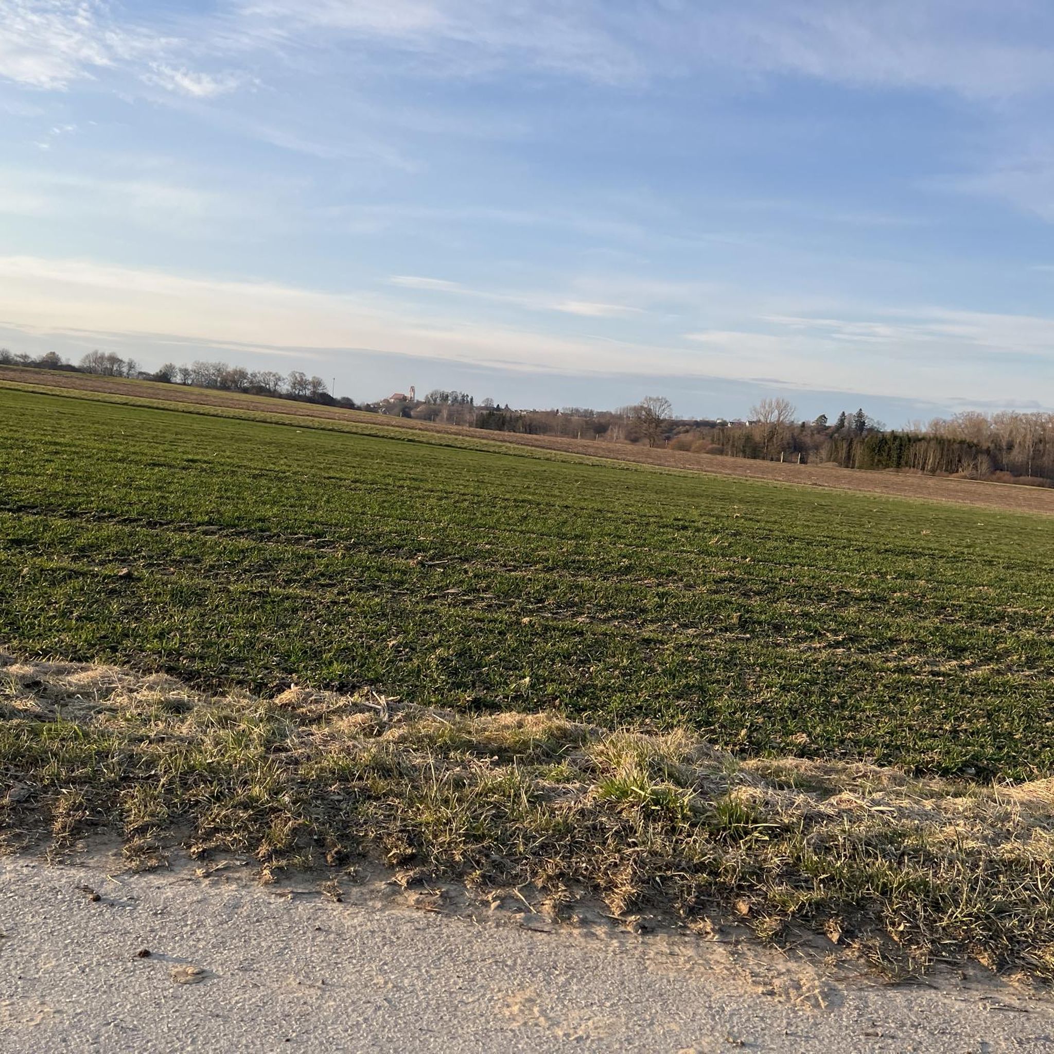
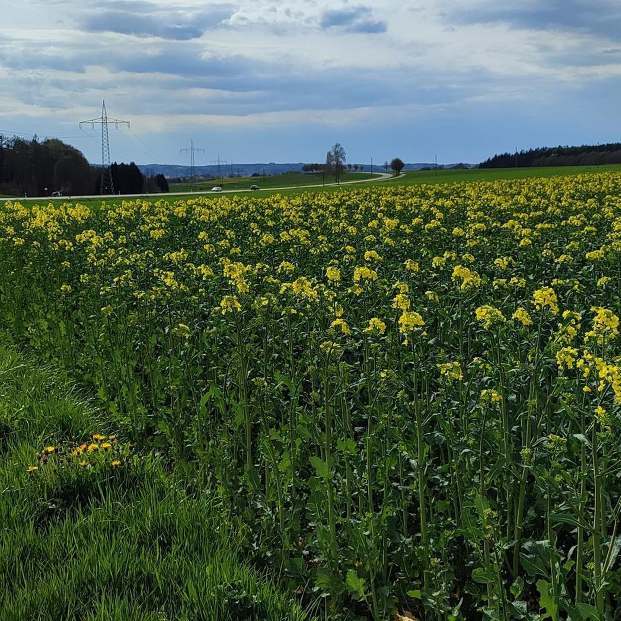
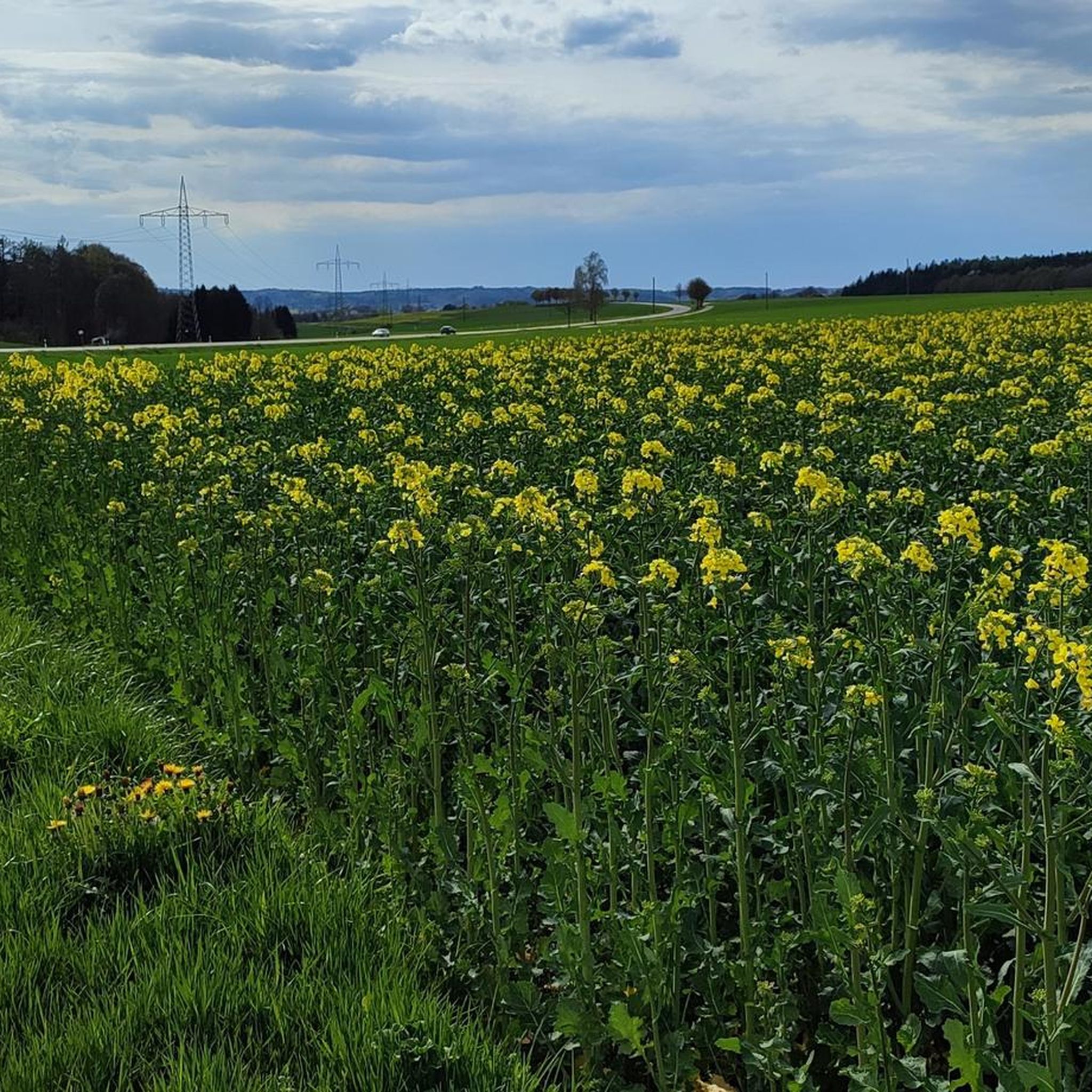
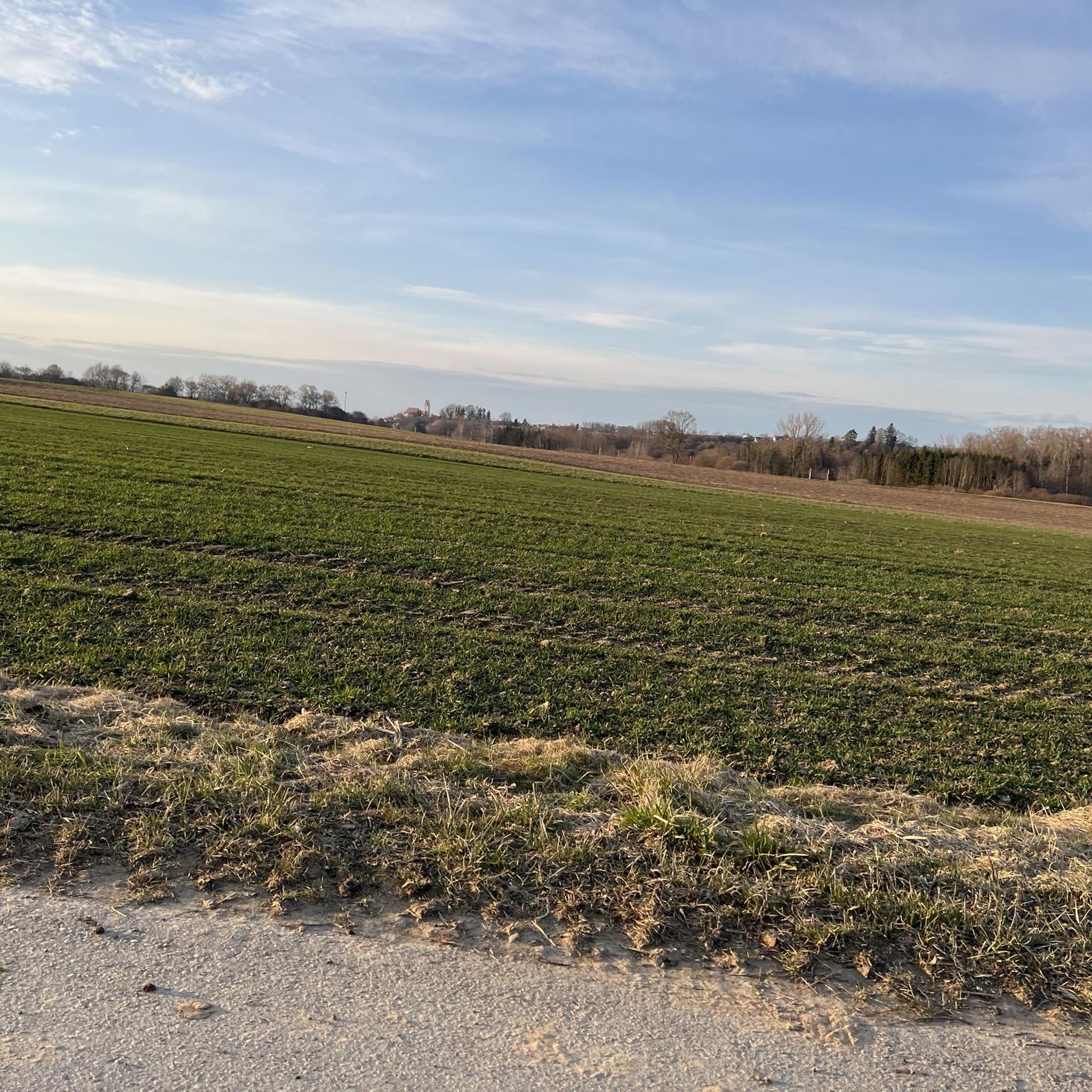
Tips from the Community

The path leads up several steps to the slightly elevated church, creating a small, almost symbolic transition from everyday life to a quieter place.
5
0
The Stations of the Cross near the pilgrimage church of Allerheiligen is a particularly atmospheric section around the Kalvarienberg and is one of the most impressive spiritual elements of the entire complex. The Stations of the Cross were created between 1746 and 1748 and lead in a gentle ascent through the surroundings of the church.
5
0
The pilgrimage church of All Saints is actually significantly older than one might assume at first glance: First documented mention or pilgrimage: 1395 The current church building was predominantly constructed in the 18th century (approx. 1730–1779)
5
0
The church itself radiates a simple, timeless beauty and acts as a quiet anchor point in the surroundings.
5
0

full of frogs in mid-April
0
0
Just outside Freihalden
1
0
The term "Weiher" doesn't quite fit. It's a lake.
0
0
Frequently Asked Questions
How many hiking trails are available in Jettingen-Scheppach?
There are over 75 hiking routes available in Jettingen-Scheppach, offering a wide range of options for different preferences and fitness levels. You'll find a good mix of easy and moderate trails to explore.
What kind of terrain can I expect on hikes around Jettingen-Scheppach?
The region is characterized by diverse terrain, including extensive forests, tranquil river valleys like the Mindeltal, and picturesque lakes. You'll encounter gentle hills, open fields, and even unique natural features such as the peat landscape of the Torferlebnispfad Bremental.
Are there easy hiking trails suitable for beginners or casual walkers?
Yes, Jettingen-Scheppach offers many easy hiking options. For instance, the All Saints Church Scheppach – Orchard Trail loop from Jettingen-Scheppach is an easy 4.2-mile path that takes you through local orchards and open fields, perfect for a relaxed stroll.
What natural features can I discover while hiking in Jettingen-Scheppach?
Hikers can explore the scenic Mindeltal, known for its rich birdlife, and discover beautiful water bodies like the Königsbrunner Seen and the Scheppacher Bergsee. The Rothsee (Zusmarshausen) is another notable lake nearby. Don't miss the Torferlebnispfad Bremental, a nature trail through a protected peat landscape with informative stations.
Are there any historical landmarks or attractions to see on hikes?
Yes, the area around Jettingen-Scheppach has historical significance. You can explore attractions like Stauffenberg Castle, Klingenburg Castle, and various churches and historical buildings located within the Mindel Valley, which can be incorporated into longer walks.
Are there family-friendly hiking options in Jettingen-Scheppach?
Absolutely. The gentle terrain of the Mindeltal is suitable for families with children. Additionally, the Rothsee features a family-friendly bathing lawn and resting place with flat shores, ideal for relaxation after a hike. The Weldenbahn-Radweg, while primarily for cycling, also offers pleasant walking opportunities with gentle gradients.
Can I find trails that pass by lakes or water bodies?
Many trails in the region feature lakes and water bodies. The Königsbrunner Seen and the Scheppacher Bergsee offer picturesque lakeside trails. You can also find routes near the Heiligmannsee and the Salzweiher, providing beautiful waterside views.
Are the hiking trails in Jettingen-Scheppach dog-friendly?
Most hiking trails in Jettingen-Scheppach are dog-friendly, especially those through forests and open fields. It's always a good idea to keep your dog on a leash, particularly in nature protection areas or near livestock, and to carry water for them. Please respect local signage regarding dogs.
Are there circular hiking routes available?
Yes, many routes in Jettingen-Scheppach are designed as circular paths, allowing you to start and end at the same point. An example is the Ochsenweiher – Orchard Trail loop from Freihalden, which offers a moderate 7.3-mile experience.
What do other hikers say about the trails in Jettingen-Scheppach?
The hiking routes in Jettingen-Scheppach are highly rated by the komoot community, with an average score of 4.5 stars from over 190 reviews. Hikers often praise the varied terrain, the tranquility of the woodlands, and the well-maintained paths.
What is the best time of year to go hiking in Jettingen-Scheppach?
Jettingen-Scheppach offers pleasant hiking experiences throughout much of the year. Spring and autumn provide comfortable temperatures and beautiful scenery with blooming flowers or vibrant fall foliage. Summer is also great, especially for trails that pass by lakes where you can cool off. Winter hikes are possible, but some paths might be muddy or icy.
Is parking available near the hiking trails?
Yes, parking is generally available at common starting points for hiking trails in and around Jettingen-Scheppach. Many routes, especially those starting from villages or popular natural areas, have designated parking spaces for hikers. You can often find specific parking information on individual route descriptions.
How can I reach the hiking trails using public transport?
While some trailheads might be accessible by local bus services, public transport options can be limited for reaching all hiking trails directly. It's advisable to check local bus schedules for Jettingen-Scheppach and its surrounding villages to plan your journey. Many hikers prefer to drive to a starting point and utilize the circular routes available.
Most popular routes around Jettingen-Scheppach
Most popular attractions around Jettingen-Scheppach

Get inspired with the komoot mobile app


Explore more
Browse the best Hikes in other regions.
