The best gravel rides in Rhein-Erft-Kreis
4.4
(353)
1,385
riders
151
rides
Gravel biking in Rhein-Erft-Kreis features diverse terrain, shaped by former open-pit mining landscapes, extensive agricultural fields, and numerous lakes. The region's network of gravel routes often follows reclaimed land, providing varied surfaces from compacted gravel to paved sections. Gentle undulations are common, with some routes featuring short, steeper climbs, particularly around the edges of the former mining areas. The Erft River and its cycle path also offer scenic gravel biking terrain Rhein-Erft-Kreis.
Best gravel bike trails in Rhein-Erft-Kreis
- The most…
Last updated: July 2, 2026
4.6
(7)
71
riders
Moderate gravel ride. Good fitness required. Mostly paved surfaces. Suitable for all skill levels.
4.5
(2)
63
riders
Hard gravel ride. Very good fitness required. You may need to push your bike for some segments of this route.

Sign up for free
4.6
(16)
80
riders
51.2km
03:40
660m
660m
Hard gravel ride. Very good fitness required. You may need to push your bike for some segments of this route.
4.6
(16)
83
riders
45.5km
02:40
150m
150m
Moderate gravel ride. Good fitness required. Mostly paved surfaces. Suitable for all skill levels.
4.5
(12)
31
riders
28.7km
01:44
190m
190m
Moderate gravel ride. Good fitness required. Mostly paved surfaces. Suitable for all skill levels.
4.5
(2)
14
riders
60.8km
04:10
580m
580m
Hard gravel ride. Very good fitness required. Mostly paved surfaces. Suitable for all skill levels.
4.4
(5)
19
riders
28.1km
01:39
200m
200m
Moderate gravel ride. Good fitness required. Mostly paved surfaces. Suitable for all skill levels.
4.7
(11)
35
riders
Moderate gravel ride. Good fitness required. Mostly paved surfaces. Suitable for all skill levels.
4.2
(5)
18
riders
20.3km
01:14
140m
140m
Easy gravel ride. Great for any fitness level. Mostly paved surfaces. Suitable for all skill levels.
4.5
(17)
34
riders
51.7km
03:56
750m
750m
Hard gravel ride. Very good fitness required. Mostly paved surfaces. Suitable for all skill levels.
Get access to more routes and recommendations from other explorers.
Sign up for free
Already have an account?
Our route recommendations are based on thousands of hikes, rides, and runs completed by other people on komoot.
Start today with a free account
Your next adventure awaits.
Login or Signup
Popular around Rhein-Erft-Kreis

Gravel biking in Nsg Königsdorfer Forst
Gravel biking around Boisdorfer Lake
Gravel biking around Pulheimer Lake
Gravel biking around Peringsmaar

Gravel biking around Frechen
Gravel biking around Bedburg
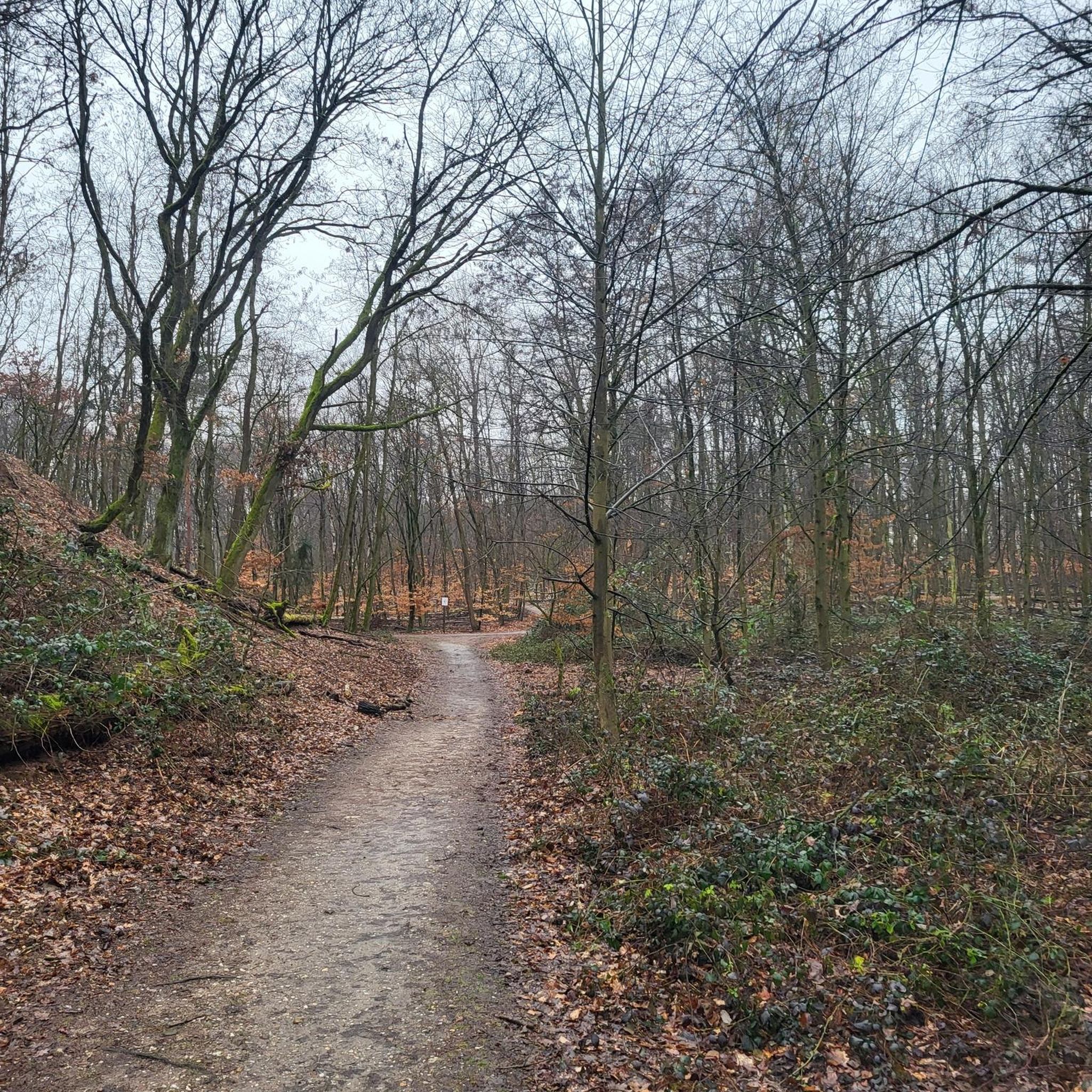
Gravel biking around Hürth
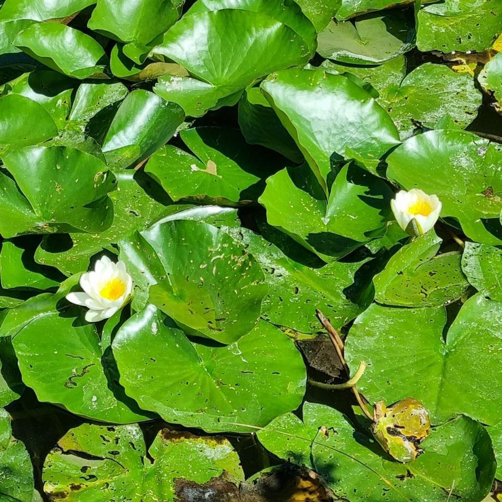
Gravel biking around Hürther Waldsee
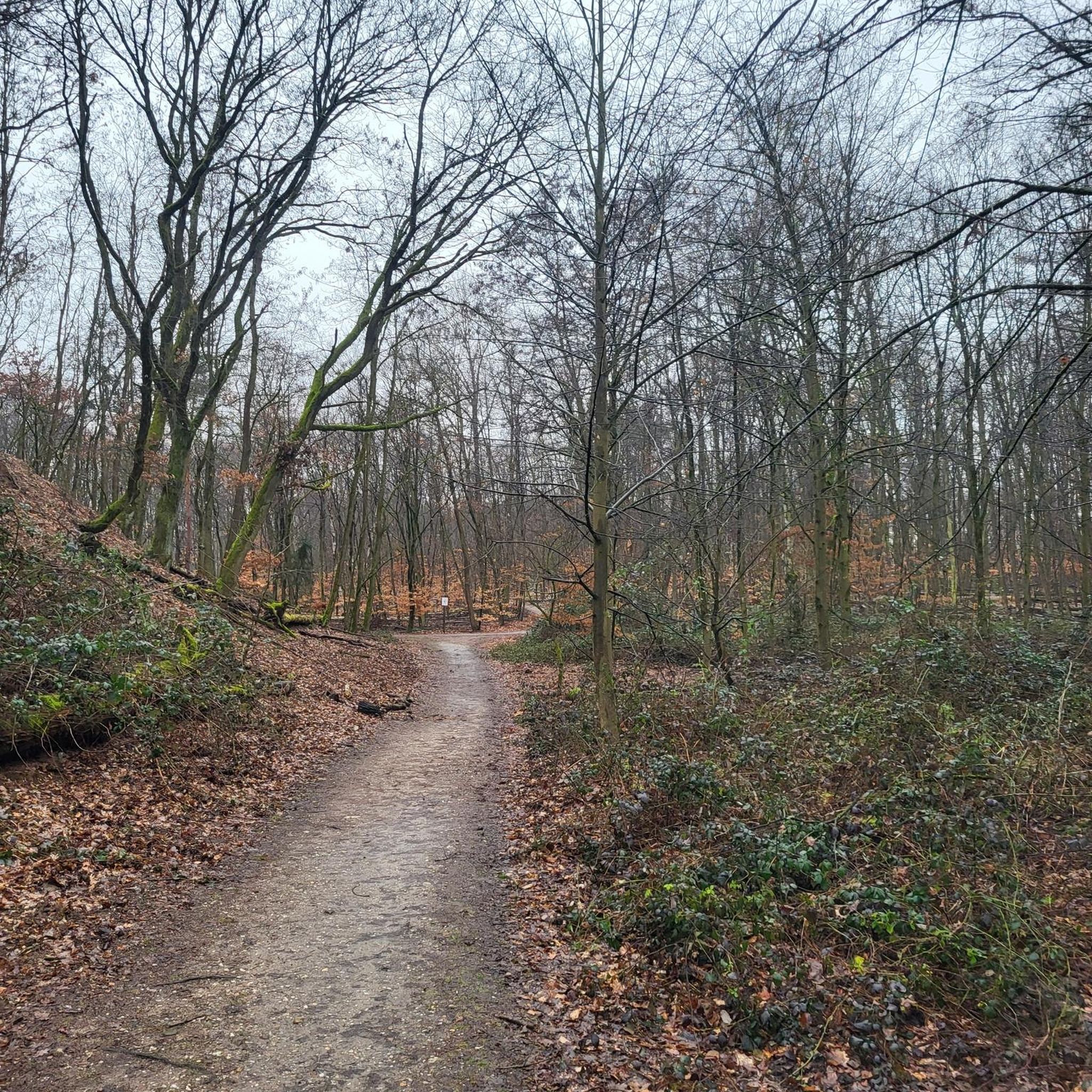
Gravel biking around Bleibtreusee
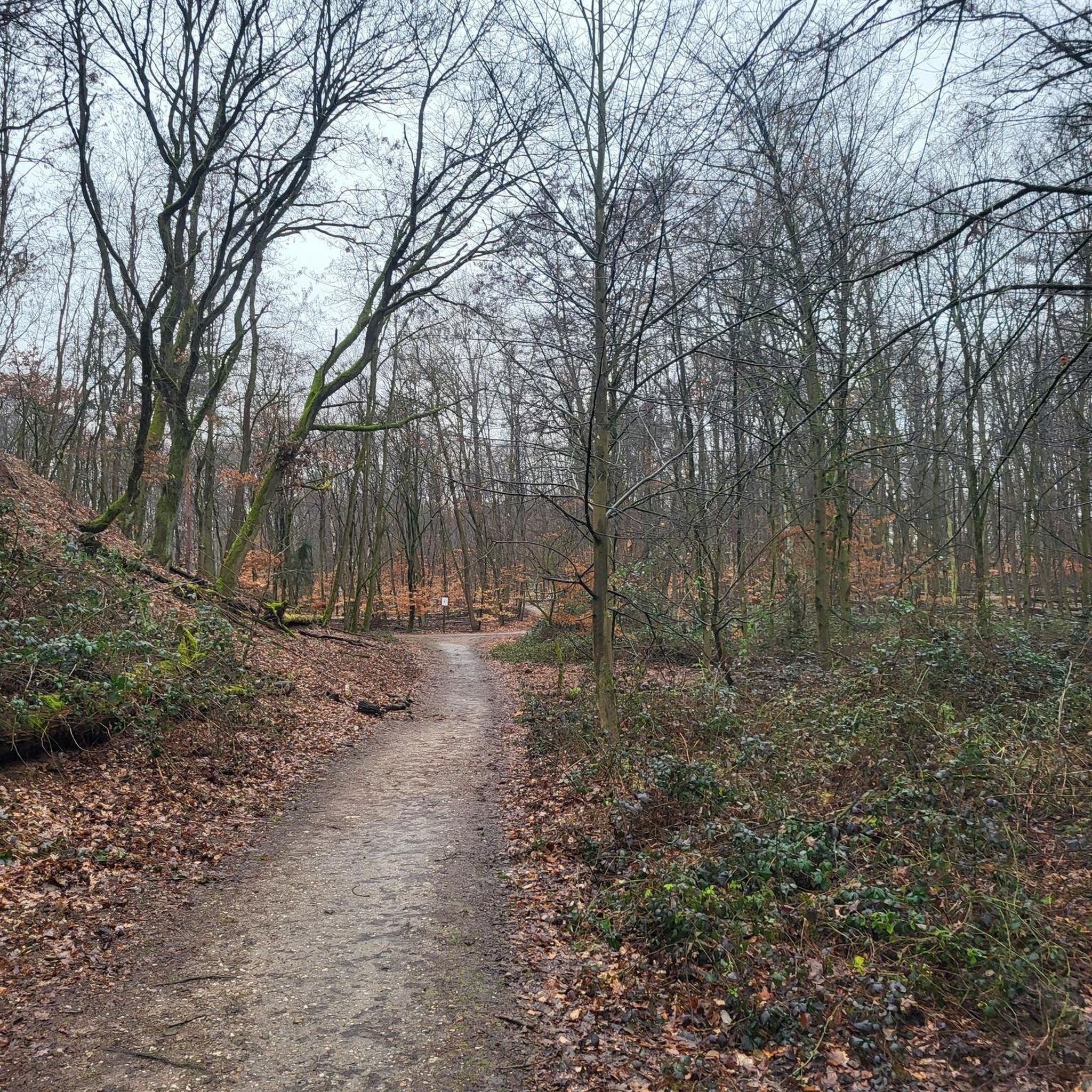
Gravel biking around Heider Bergsee
Other adventures in Rhein-Erft-Kreis


Tips from the Community

Unfortunately currently closed. The last section is passable.
0
0

👀 beautiful view is given 👀 absolutely recommendable
0
0

Beautiful cycle path but closed from now until the end of 2027.
0
0
Nice bike path
0
0
Frequently Asked Questions
What are the typical difficulty levels for gravel biking in Rhein-Erft-Kreis?
Rhein-Erft-Kreis offers a good mix of gravel bike trails for various skill levels. You'll find 67 easy routes, 140 moderate routes, and 49 difficult routes. The terrain often features gentle undulations, with some routes including short, steeper climbs, especially around former mining areas.
Are there family-friendly gravel bike trails suitable for beginners in Rhein-Erft-Kreis?
Yes, Rhein-Erft-Kreis has 67 easy routes that are generally suitable for families and beginners. These trails often follow reclaimed land and agricultural paths, providing varied surfaces without overly challenging climbs. For a moderate option that's still accessible, consider the View from Glessener Höhe – View from Glessener Höhe loop from Frechen-Königsdorf, which is 32.3 km long.
What is the typical length of gravel bike routes in Rhein-Erft-Kreis?
Gravel bike routes in Rhein-Erft-Kreis vary significantly in length. You can find shorter routes around 28 km, such as the Margarethenweiher – Lower Lake loop from Hürth-Kalscheuren, up to longer excursions like the Stone Compass Rest Area – Höller Horn Observation Tower loop from Köln-Weiden West, which spans nearly 90 km.
Can I reach gravel bike trailheads in Rhein-Erft-Kreis using public transport?
Many of the gravel bike routes in Rhein-Erft-Kreis start from towns and communities like Frechen-Königsdorf, Hürth, and Buir, which generally have good public transport connections. It's advisable to check local transport schedules for specific starting points to plan your journey effectively.
What kind of scenic views or viewpoints can I expect on gravel bike routes in Rhein-Erft-Kreis?
The region's unique landscape, shaped by former open-pit mining, offers distinctive scenic views. Routes often provide expansive vistas over reclaimed land and the edges of active mining areas. For example, the Terra Nova Viewpoint – View of Hambach Open-Pit Mine loop from Heppendorf offers unique perspectives of the Hambach Open-Pit Mine area.
Are there any loop gravel bike trails in Rhein-Erft-Kreis?
Yes, many gravel bike trails in Rhein-Erft-Kreis are designed as loops, making them convenient for starting and ending at the same point. Examples include the Kasterer Lake – Alt-Kaster City Gate loop from Epprath and the View from Glessener Höhe – View Towards Bergheim loop from Oberaußem.
What can I see along the gravel bike trails in Rhein-Erft-Kreis besides natural landscapes?
Beyond the natural beauty of lakes and reclaimed mining areas, you can explore historical sites and castles. Notable attractions include Paffendorf Castle, Augustusburg Palace and Gardens, and the charming Alt-Kaster Old Town. These can often be found near or along various routes.
What do other gravel bikers enjoy the most about gravel biking in Rhein-Erft-Kreis?
The area is highly rated by the komoot community, with an average score of 4.4 stars from over 400 reviews. Reviewers often praise the diverse terrain, the unique landscapes shaped by former mining, and the tranquil paths around the numerous lakes. The variety of routes, from easy to difficult, is also frequently highlighted.
Are there specific trails that are more challenging for advanced gravel bikers?
For advanced gravel bikers seeking a challenge, Rhein-Erft-Kreis offers 49 difficult routes. These often feature more significant elevation changes and longer distances. An example is the Stone Compass Rest Area – Höller Horn Observation Tower loop from Köln-Weiden West, which covers nearly 90 km with substantial elevation gain.
Is there convenient parking available near gravel bike trails in Rhein-Erft-Kreis?
Yes, many trailheads are accessible by car, and parking is often available in nearby towns or designated areas. For instance, you can find parking at the Parking area at Königsdorfer Wald, which serves as a good starting point for routes in that vicinity.
What is the best season for gravel biking in Rhein-Erft-Kreis?
While gravel biking is enjoyable year-round, the spring and autumn months typically offer the most pleasant conditions with mild temperatures and vibrant scenery. During these seasons, the trails are generally less muddy than in winter and cooler than in peak summer, making for ideal riding.
Are there any gravel bike routes that pass by lakes or water features?
Absolutely. The landscape of Rhein-Erft-Kreis is dotted with numerous lakes, many of which are integrated into gravel bike routes. A prime example is the Otto Maigler Lake – Silver Lake loop from Hürth, which leads through a beautiful lake-filled landscape.
Most popular routes in Rhein-Erft-Kreis
Most popular attractions in Rhein-Erft-Kreis

Get inspired with the komoot mobile app


Didn’t find what you were looking for?
Check out more Gravel rides throughout Rhein-Erft-Kreis below and find the perfect route in your destination.
Explore more
Browse the best Gravel rides in other regions.
