The best gravel rides around Dippoldiswalde
4.5
(49)
311
riders
60
rides
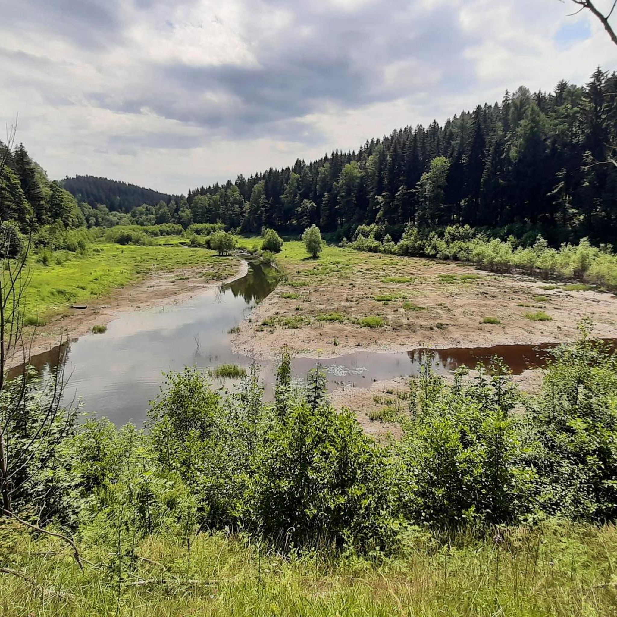
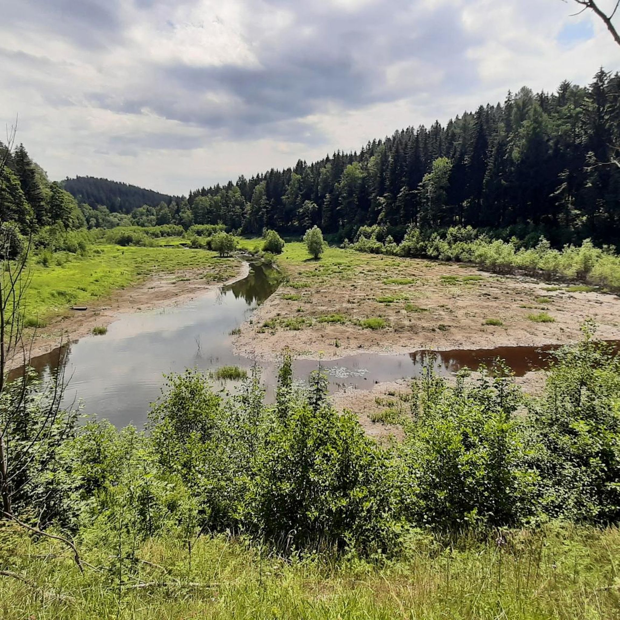
Gravel biking around Dippoldiswalde offers a network of routes through varied terrain. The region is characterized by its river valleys, such as the Rabenauer Grund and along the Wilde Weißeritz, and features several significant water bodies including the Malter Dam and Klingenberg Forebay Dam. These landscapes provide a mix of forest paths, riverside trails, and open sections suitable for gravel bikes. The elevation changes are moderate to challenging, with some routes featuring notable climbs.
Best gravel bike trails around Dippoldiswalde
…Last updated: July 3, 2026
4.6
(11)
86
riders
52.5km
03:51
970m
980m
Hard gravel ride. Very good fitness required. Mostly paved surfaces. Suitable for all skill levels.
3.5
(2)
13
riders
Moderate gravel ride. Good fitness required. Mostly paved surfaces. Suitable for all skill levels.

Sign up for free
5.0
(1)
10
riders
42.4km
02:40
590m
590m
Hard gravel ride. Very good fitness required. Mostly paved surfaces. Suitable for all skill levels.
5.0
(1)
8
riders
33.8km
02:18
580m
580m
Hard gravel ride. Very good fitness required. Mostly paved surfaces. Suitable for all skill levels.
6
riders
29.6km
01:42
350m
350m
Moderate gravel ride. Good fitness required. Mostly paved surfaces. Suitable for all skill levels.
Get access to more routes and recommendations from other explorers.
Sign up for free
Already have an account?
Our route recommendations are based on thousands of hikes, rides, and runs completed by other people on komoot.
Start today with a free account
Your next adventure awaits.
Login or Signup
Popular around Dippoldiswalde

33 lakes for sunny weekends
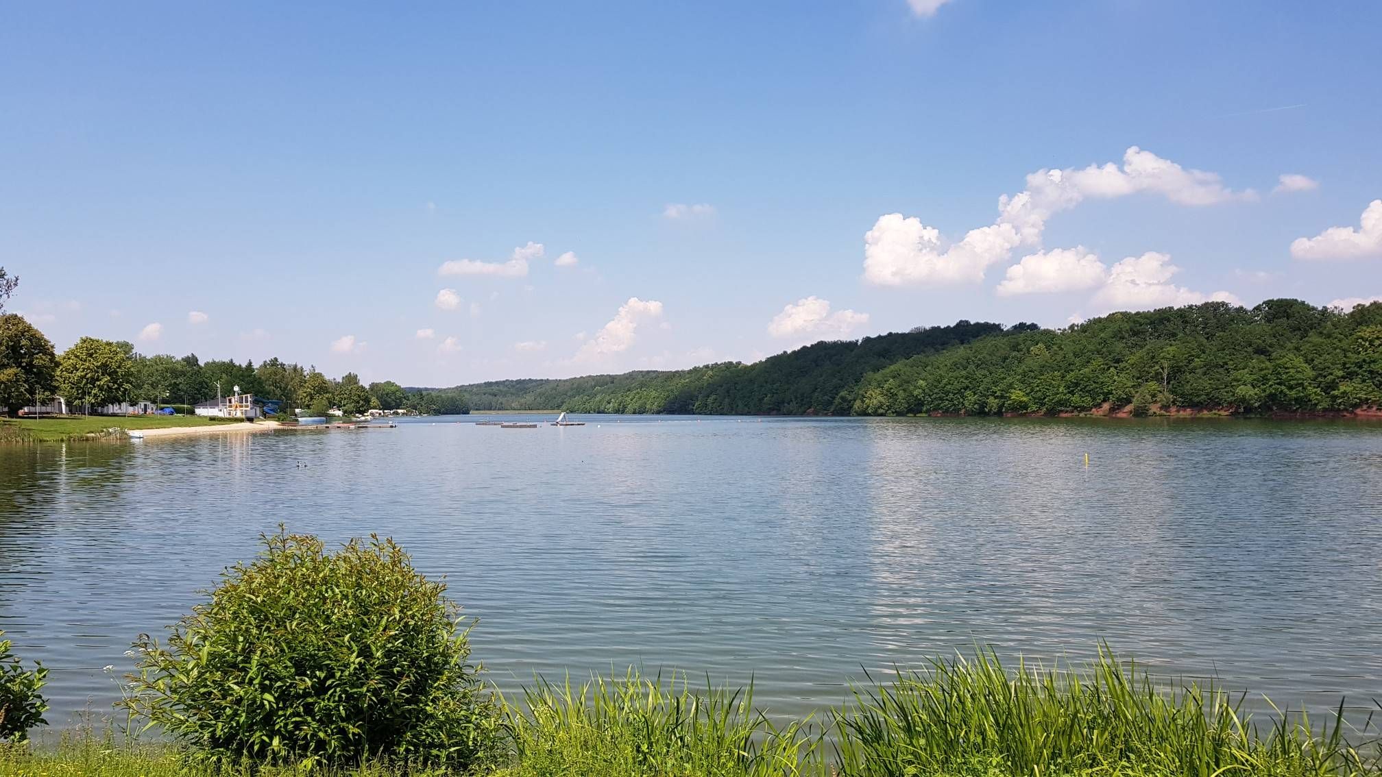
The best swimming lakes in Saxony
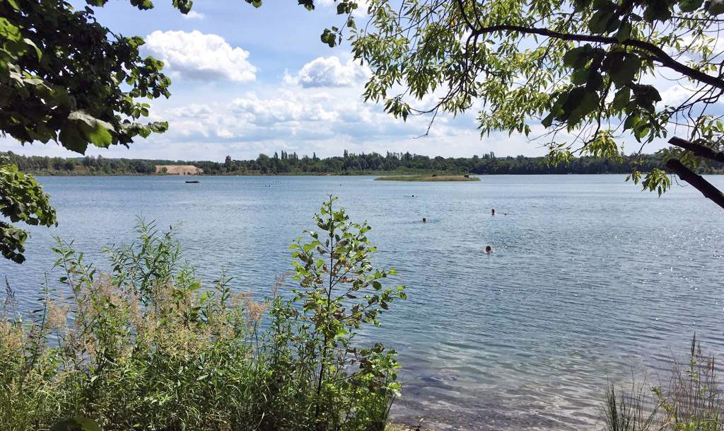
The most popular swimming spots around Dresden

Wandertouren - Eisenbahn & Wanderstock
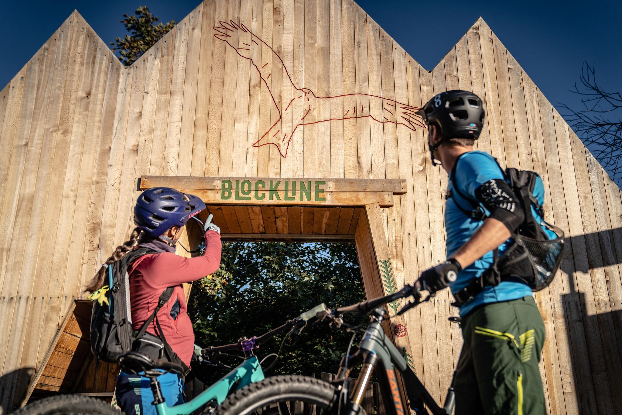
BLOCKLINE – Dein Bike-Abenteuer im Erzgebirge
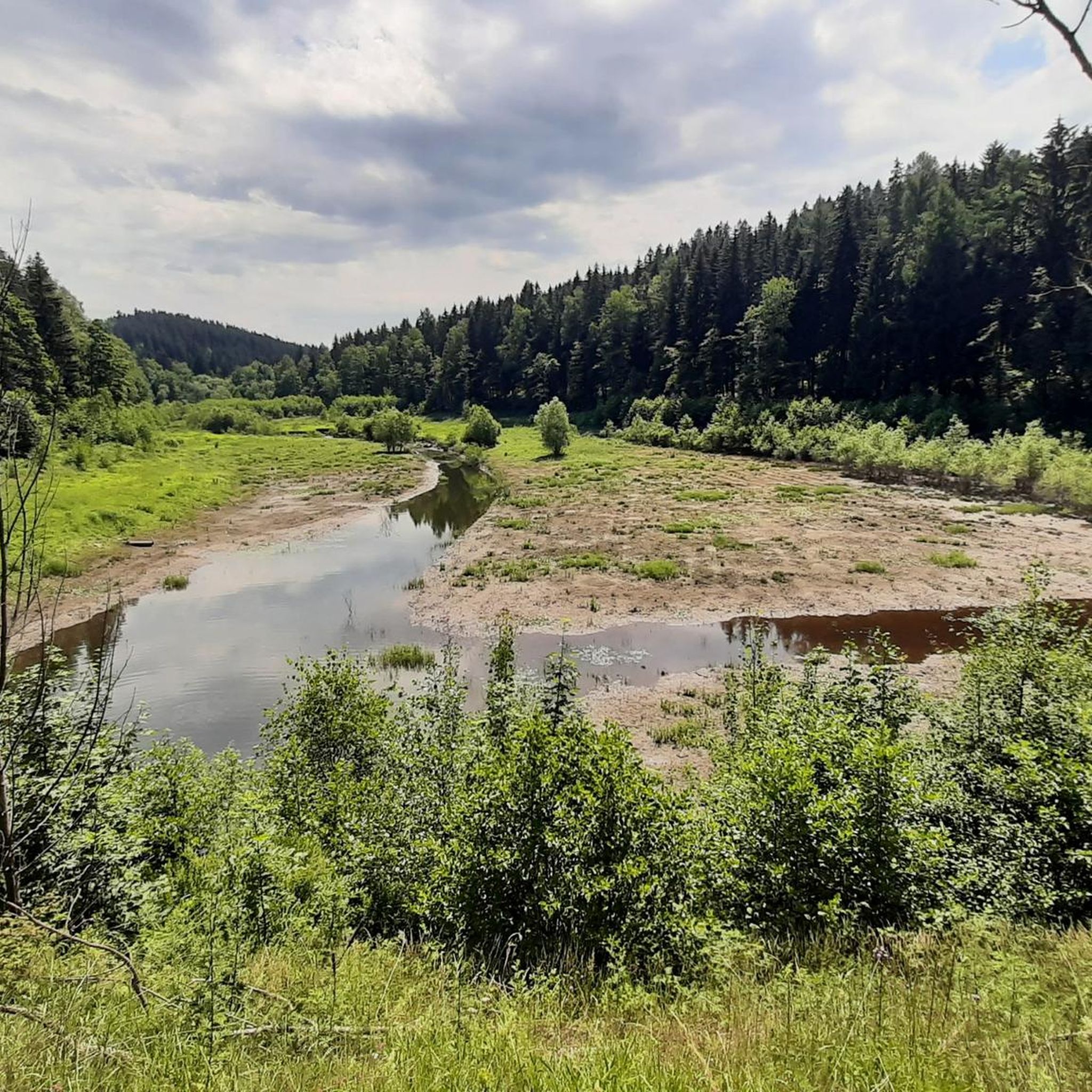
Hiking around Dippoldiswalde
Cycling around Dippoldiswalde
Road Cycling Routes around Dippoldiswalde
MTB Trails around Dippoldiswalde
Running Trails around Dippoldiswalde
Other adventures around Dippoldiswalde


Tips from the Community

The Schlossteich in Grillenburg, with a water surface of approx. 21,000 square meters, invites you to go punting. There are 20 rowing boats available. After a relaxing punting trip, a break at the snack bar, which also offers plenty of seating, is worthwhile. https://www.dresden-elbland.de/de/poi/bootsverleih/gondelerlebnis-imbiss-grillenburg/805811735/
0
0
Bathing, gondola rides or simply enjoying...
1
0


an open, green border in a united Europe
0
0

It's always worth stopping by Manu and Kai-Uwe's place. They host wonderful events several times a year.
0
0

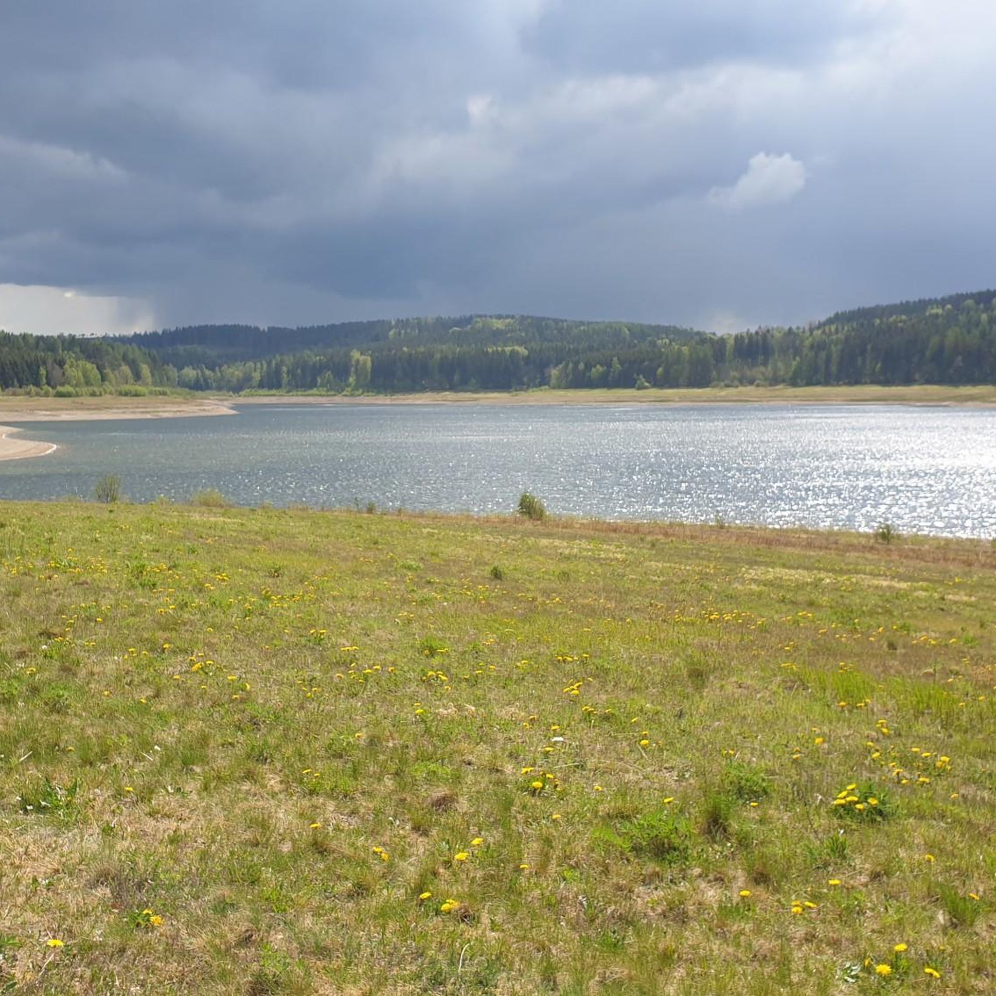
Possibility of a circular hike or (bicycle) tour near the water, more visibility than at other dams, numerous benches, a mini-beach on the eastern shore, bird watching, a restaurant on the dam wall - in short: suitable for a day trip.
0
0

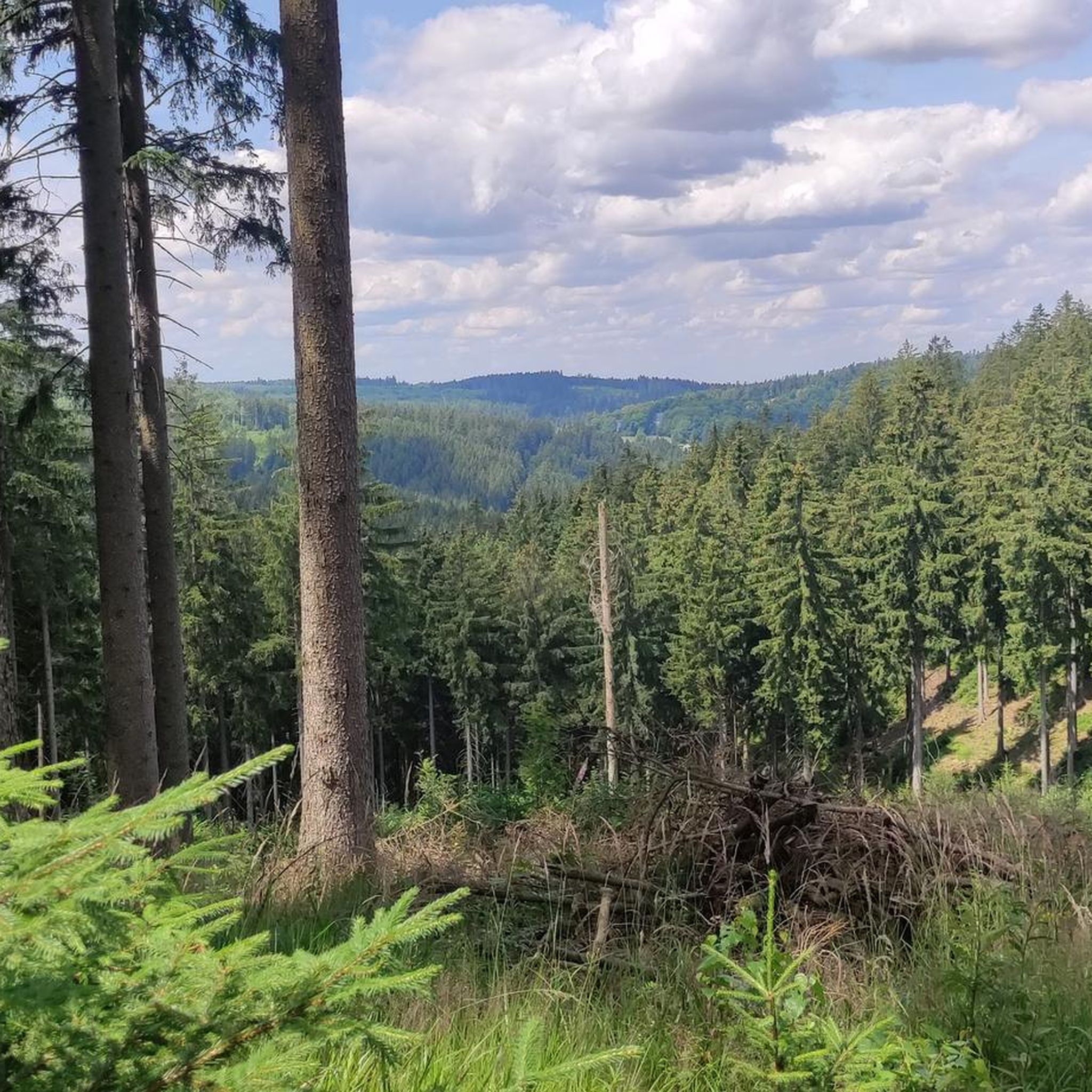
Very nice area for cycling. Very nice views here.
0
0
Frequently Asked Questions
How challenging are the gravel bike trails around Dippoldiswalde?
The gravel bike trails in Dippoldiswalde offer a range of difficulties. While there are a few easier routes, the majority are classified as moderate to difficult, featuring significant elevation changes. For example, the Malter Dam – Klingenberg Forebay Dam loop from Malter is considered difficult with over 570 meters of ascent, while the Malter Dam – Malter Reservoir loop from Malter is a moderate option.
Are there any beginner-friendly gravel bike routes in Dippoldiswalde?
Yes, while many routes are moderate to difficult, there are a few options suitable for beginners. These typically feature less elevation gain and smoother surfaces. Look for routes specifically marked as 'easy' in the komoot app to find the most suitable options.
What kind of terrain can I expect on the gravel bike trails?
The terrain around Dippoldiswalde is quite varied. You'll encounter a mix of forest paths, riverside trails, and open sections. The region is known for its river valleys like the Rabenauer Grund and along the Wilde Weißeritz, as well as routes around significant water bodies such as the Malter Dam and Klingenberg Forebay Dam. Expect diverse surfaces suitable for gravel bikes.
Are there any circular gravel bike routes available?
Yes, many of the gravel bike routes in Dippoldiswalde are designed as loops, allowing you to start and end at the same point. Popular circular routes include the Windbergbahn Cycle Path – Rabenauer Grund loop from Dippoldiswalde and the Malter Dam – Malter Reservoir loop from Malter.
What attractions can I see along the gravel bike trails?
The region offers a blend of natural beauty and historical sites. Along your rides, you might encounter impressive gorges like the Rabenauer Grund Nature Reserve or the Somsdorf Gorge. There are also several castles nearby, such as the Ruins of Tharandt Castle or the Baroque Garden at Weesenstein Castle, which can be explored as detours.
What do other gravel bikers enjoy most about Dippoldiswalde?
The area is highly rated by the komoot community, with an average score of 4.5 stars from over 60 reviews. Reviewers often praise the varied terrain, the scenic dam loops, and the peaceful river valleys like the Rabenauer Grund, which offer a great mix of challenge and natural beauty.
Are there any long-distance gravel biking routes near Dippoldiswalde?
While many routes are day trips, some can be combined or are longer loops themselves. For instance, the Rabenauer Grund – View of Klingenberg Reservoir loop from Rabenau covers nearly 38.5 kilometers, offering a substantial ride through varied landscapes and significant elevation.
Can I access the gravel trails using public transport?
Dippoldiswalde and surrounding towns like Malter and Rabenau are generally accessible by public transport, primarily buses, which can connect you to starting points for many routes. However, specific public transport options for carrying bikes can vary, so it's advisable to check local schedules and regulations before planning your trip.
Where can I find parking for gravel biking in Dippoldiswalde?
Parking is typically available in and around the main towns and villages that serve as starting points for the trails, such as Dippoldiswalde, Malter, and Rabenau. Look for designated parking areas near popular trailheads or public car parks within these communities.
What is the best time of year for gravel biking in Dippoldiswalde?
The spring, summer, and early autumn months (roughly April to October) generally offer the most favorable conditions for gravel biking in Dippoldiswalde. During these times, the weather is milder, and the trails are typically dry and well-maintained. Winter riding is possible but may involve snow and ice, requiring appropriate gear and caution.
Are there any cafes or places to stop for refreshments along the routes?
Yes, especially around the larger dams like Malter Dam and in the towns and villages you pass through, you'll find opportunities for refreshments. It's always a good idea to check the route details or a local map for specific cafes or restaurants along your chosen path, especially for longer rides.
Most popular routes around Dippoldiswalde
Most popular attractions around Dippoldiswalde

Get inspired with the komoot mobile app


Explore more
Browse the best Gravel rides in other regions.
