The best gravel rides around Issersheilingen
5.0
(5)
25
riders
2
rides
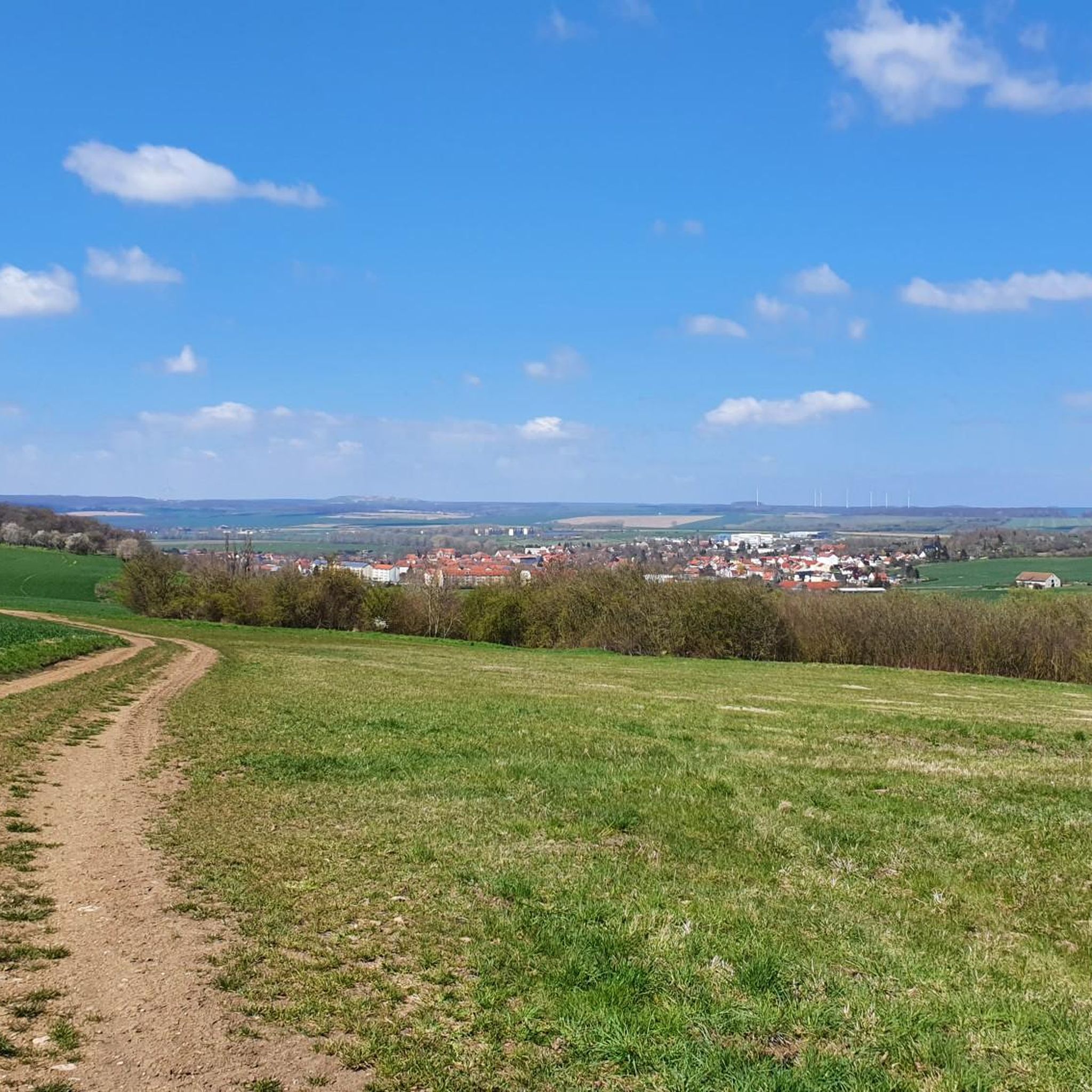
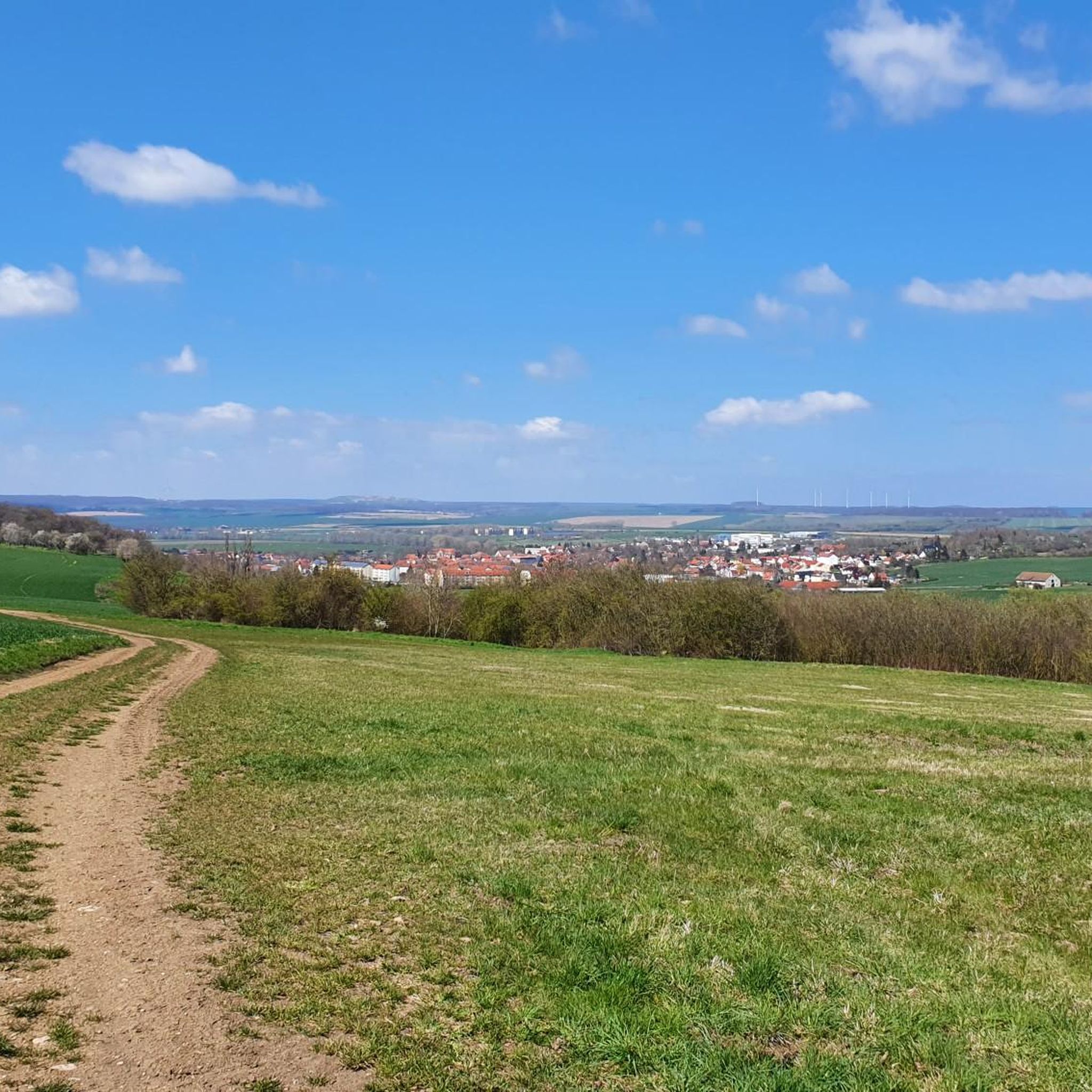
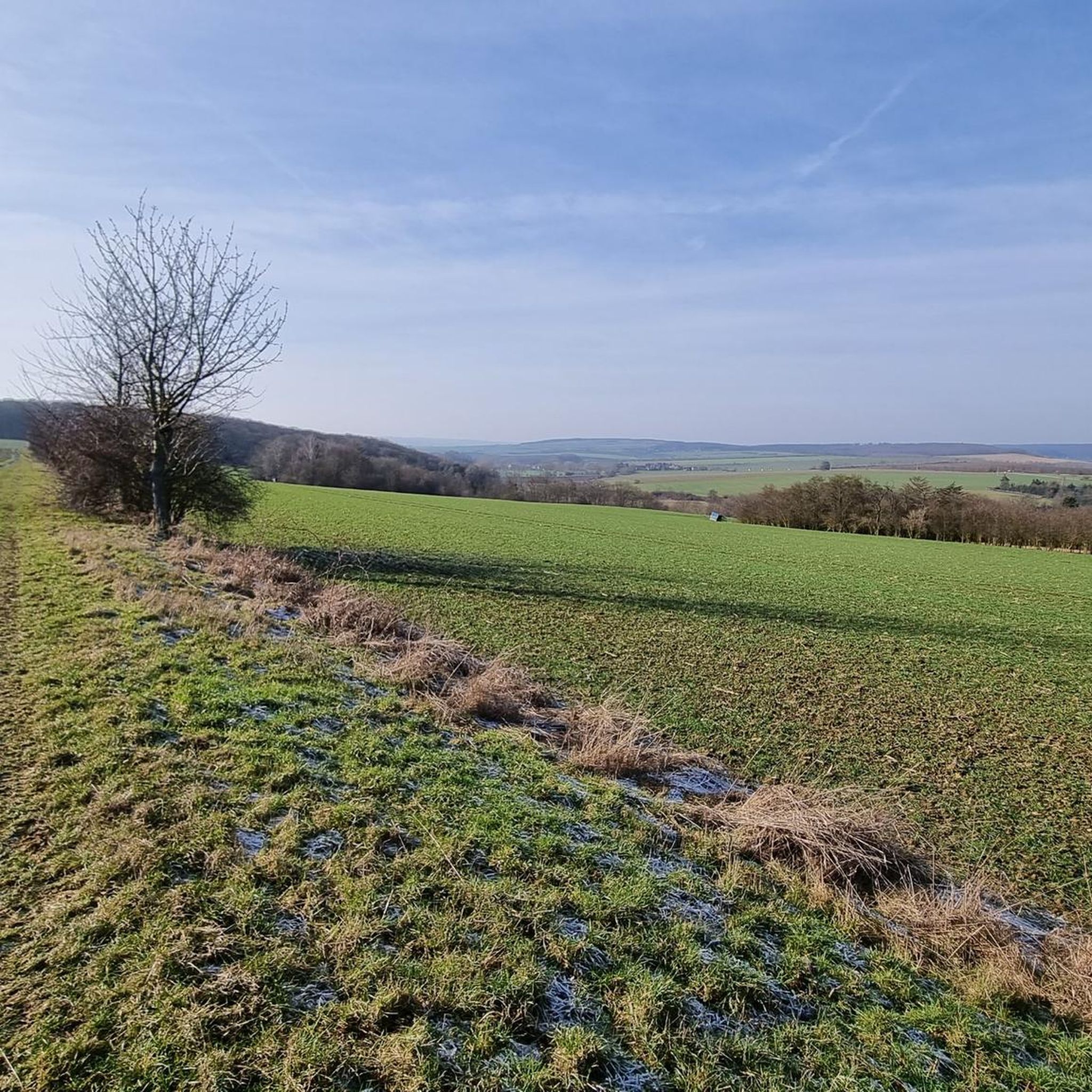
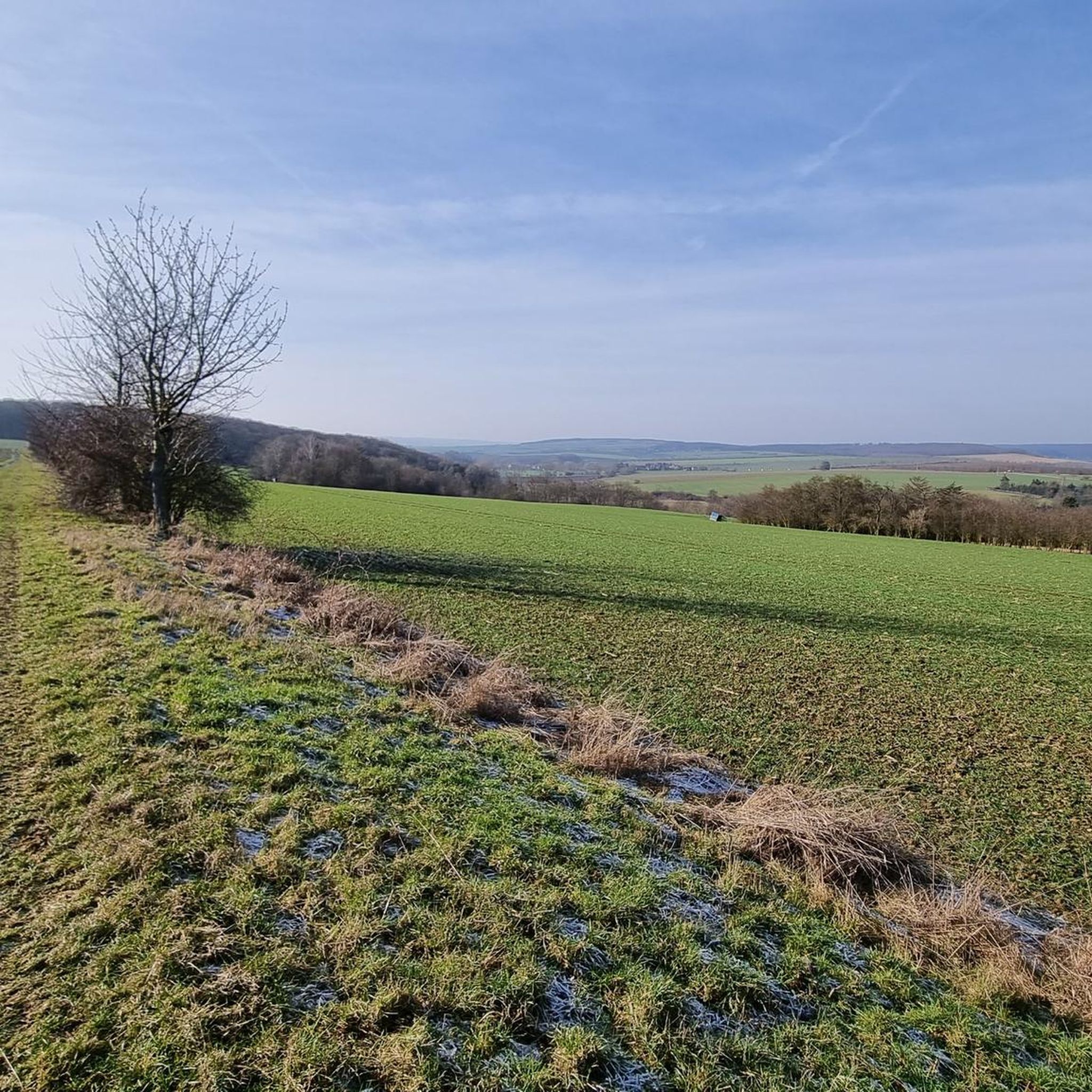
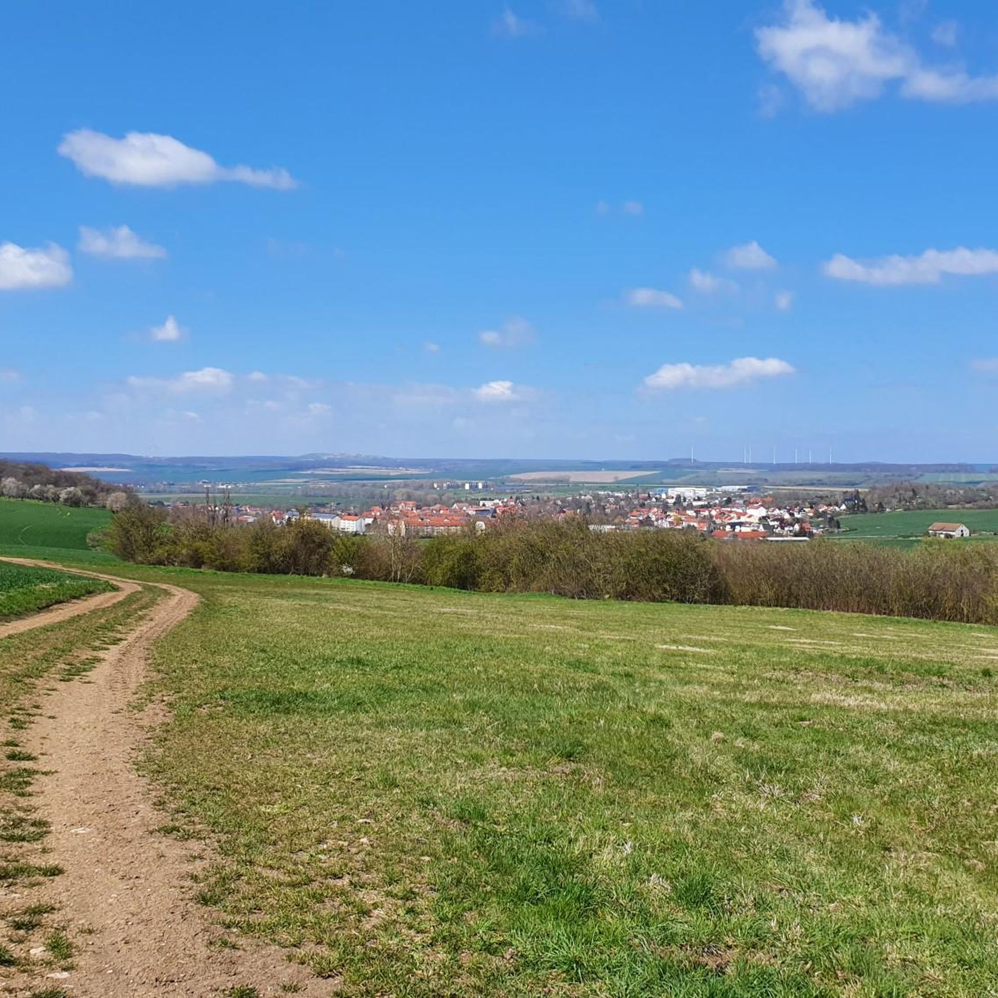
Gravel biking around Issersheilingen offers varied terrain within the Heilinger Höhenzug, a region characterized by rolling, low-wooded hills and diverse elevations. The landscape includes both higher ground and descends into the Welsbach and Unstrut river valleys, providing a mix of gradients and flatter sections. This area, situated at the western edge of the Thuringian Basin, features a network of forestry and service roads suitable for gravel cycling, allowing exploration away from main traffic.
Best gravel bike trails around Issersheilingen
- The…
Last updated: May 21, 2026
5.0
(5)
15
riders
49.2km
02:54
460m
460m
Hard gravel ride. Very good fitness required. Mostly paved surfaces. Suitable for all skill levels.
6
riders
51.9km
03:11
440m
440m
Moderate gravel ride. Good fitness required. Mostly paved surfaces. Suitable for all skill levels.

Sign up for free
3
riders
Hard gravel ride. Very good fitness required. Mostly paved surfaces. Suitable for all skill levels.
1
riders
34.3km
01:56
200m
200m
Moderate gravel ride. Good fitness required. Mostly paved surfaces. Suitable for all skill levels.
Our route recommendations are based on thousands of hikes, rides, and runs completed by other people on komoot.
Start today with a free account
Your next adventure awaits.
Login or Signup
Tips from the Community


Beautiful photo opportunity and a nice highlight when driving through
0
0

Buy your entry chip during the day and enjoy it all in the evening
0
0

St. Wigberti's monastery. Werningshsusen
0
0

Sometimes you need a shelter, and this one is absolutely fine.
0
0

Beautiful deciduous forest in the Hainich National Park, not managed for decades.
1
0

A railway cycle path is like a green ribbon that gently winds through the landscape, telling stories of a bygone era. Where trains once rolled and connected distant places.
15
0

a great rest and refreshment stop for cyclists
0
0
Frequently Asked Questions
How many gravel bike trails are available around Issersheilingen?
There are several gravel bike trails around Issersheilingen, offering a variety of experiences. Our guide features four distinct routes, ranging from moderate to difficult, allowing you to explore the diverse landscapes of the Heilinger Höhenzug and the river valleys.
What kind of terrain can I expect on the gravel bike trails in Issersheilingen?
The terrain around Issersheilingen is quite varied. You'll encounter rolling, low-wooded hills within the Heilinger Höhenzug, offering moderate elevation changes. As you descend southwards, routes often lead into the flatter Welsbach and Unstrut river valleys, providing a mix of climbs and more relaxed sections. The region utilizes an extensive network of forestry and service roads, perfect for gravel riding away from traffic.
Are there any family-friendly gravel routes in the area?
While the routes highlighted in this guide are generally moderate to difficult, the region's diverse terrain and network of service roads mean that shorter, flatter sections along the Welsbach and Unstrut river valleys could be suitable for families. For a route with less elevation, consider parts of the Spittelbrunnen – Unstrut Cycle Path loop from Volkenroda, which incorporates river valley sections.
Are there routes suitable for beginner gravel cyclists?
For beginners, routes with less significant elevation gain are recommended. The Lohmühle Watermill – Hunger Tower (Bad Langensalza) loop from Sundhausen is rated as moderate and has the lowest elevation gain among the featured routes, making it a good starting point to experience gravel biking in the region.
What about more challenging rides for advanced gravel cyclists?
Advanced gravel cyclists will appreciate the routes that navigate the higher elevations of the Heilinger Höhenzug. The Heyerode border house – Bette Oak loop from Seebach (bei Mühlhausen) and the Hainichbaude at Craulaer Kreuz – Bette Oak loop from Seebach are both rated as difficult, offering substantial elevation changes and longer distances to test your endurance and skill.
Are there circular gravel bike routes around Issersheilingen?
Yes, all the routes featured in this guide are circular, allowing you to start and end at the same point. For example, the Spittelbrunnen – Unstrut Cycle Path loop from Volkenroda offers a scenic circular tour through varied landscapes.
What interesting sights or landmarks can I see along the gravel bike trails?
The region around Issersheilingen offers several points of interest. You might encounter historical sites like Friederike's Little Palace in Langensalza or natural highlights such as the tranquil Japanese Garden, Bad Langensalza. The area also features archaeological sites like the "Hök" Burial Mound, symbolically represented in the municipal coat of arms.
Is public transport available for cyclists in the Thuringia region?
Public transport options for cyclists in Thuringia vary. It's advisable to check the specific train or bus operator's policies regarding bicycle transport in advance, especially for longer journeys or during peak times. Regional trains often have dedicated spaces, but capacity can be limited.
Where can I park my car when starting a gravel bike tour?
For routes starting near towns like Bad Langensalza or Seebach, you can typically find public parking facilities. For specific trailheads, look for designated parking areas. It's always a good idea to check local signage for parking regulations and availability before your ride.
What is the best time of year to go gravel biking in Issersheilingen?
The best time for gravel biking in Issersheilingen is generally from spring to autumn (April to October). During these months, the weather is usually mild, and the trails are in good condition. Spring offers lush greenery, while autumn provides beautiful foliage. Winter riding is possible but can be challenging due to colder temperatures and potentially muddy or icy conditions on unpaved paths.
What do other gravel bikers enjoy most about gravel biking in Issersheilingen?
The area is highly rated by the komoot community, with an average score of 5.0 stars from over 5 reviews. Reviewers often praise the varied terrain, which combines rolling hills with scenic river valleys, and the opportunity to explore away from main roads on well-maintained forestry and service paths.
Are there any viewpoints or scenic spots along the gravel trails?
The Heilinger Höhenzug, with its higher elevations, naturally offers numerous scenic spots and viewpoints across the undulating landscape. As you ride through the low-wooded areas and along the river valleys, you'll find plenty of opportunities to enjoy the picturesque Thuringian countryside.
Most popular attractions around Issersheilingen

Get inspired with the komoot mobile app


Explore more
Browse the best Gravel rides in other regions.
