The best gravel rides around Schlotheim
10
riders
2
rides
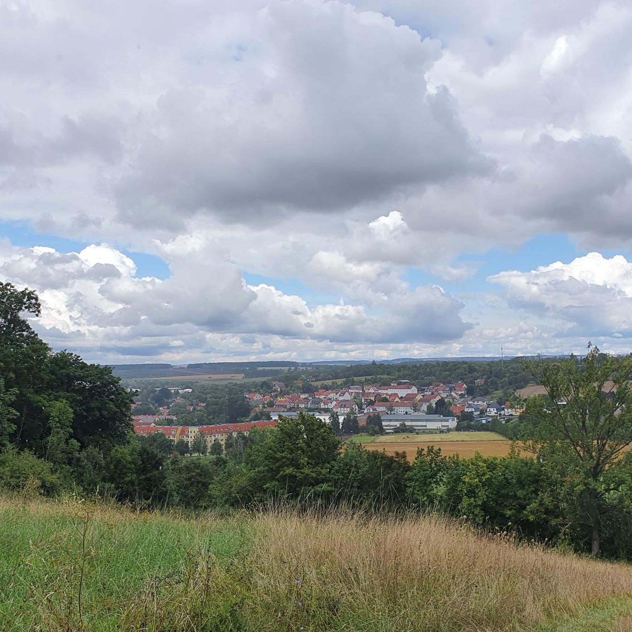
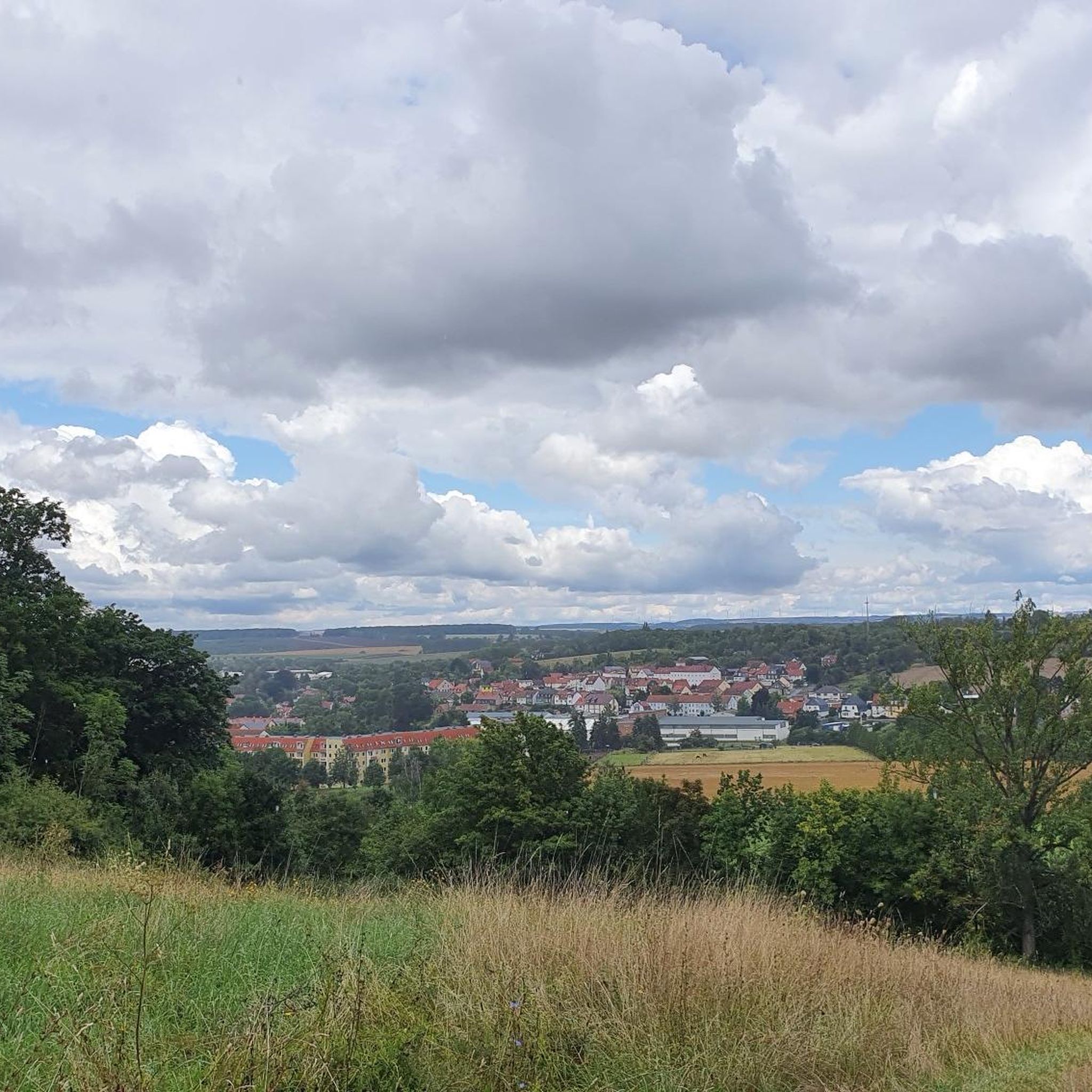
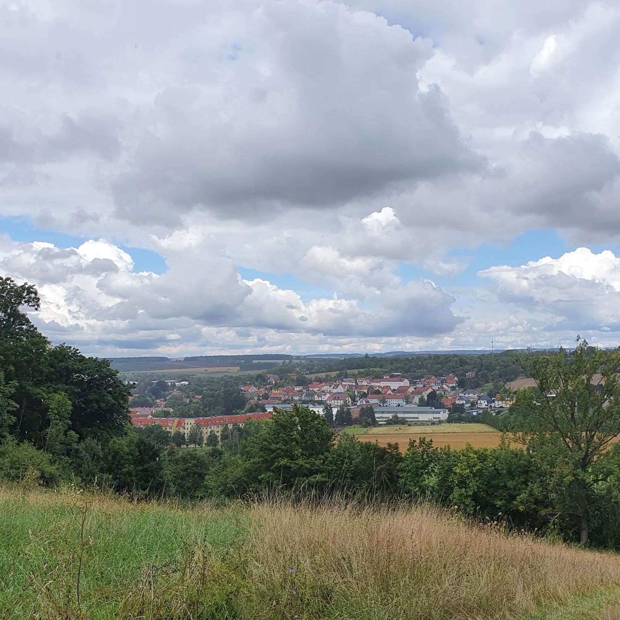
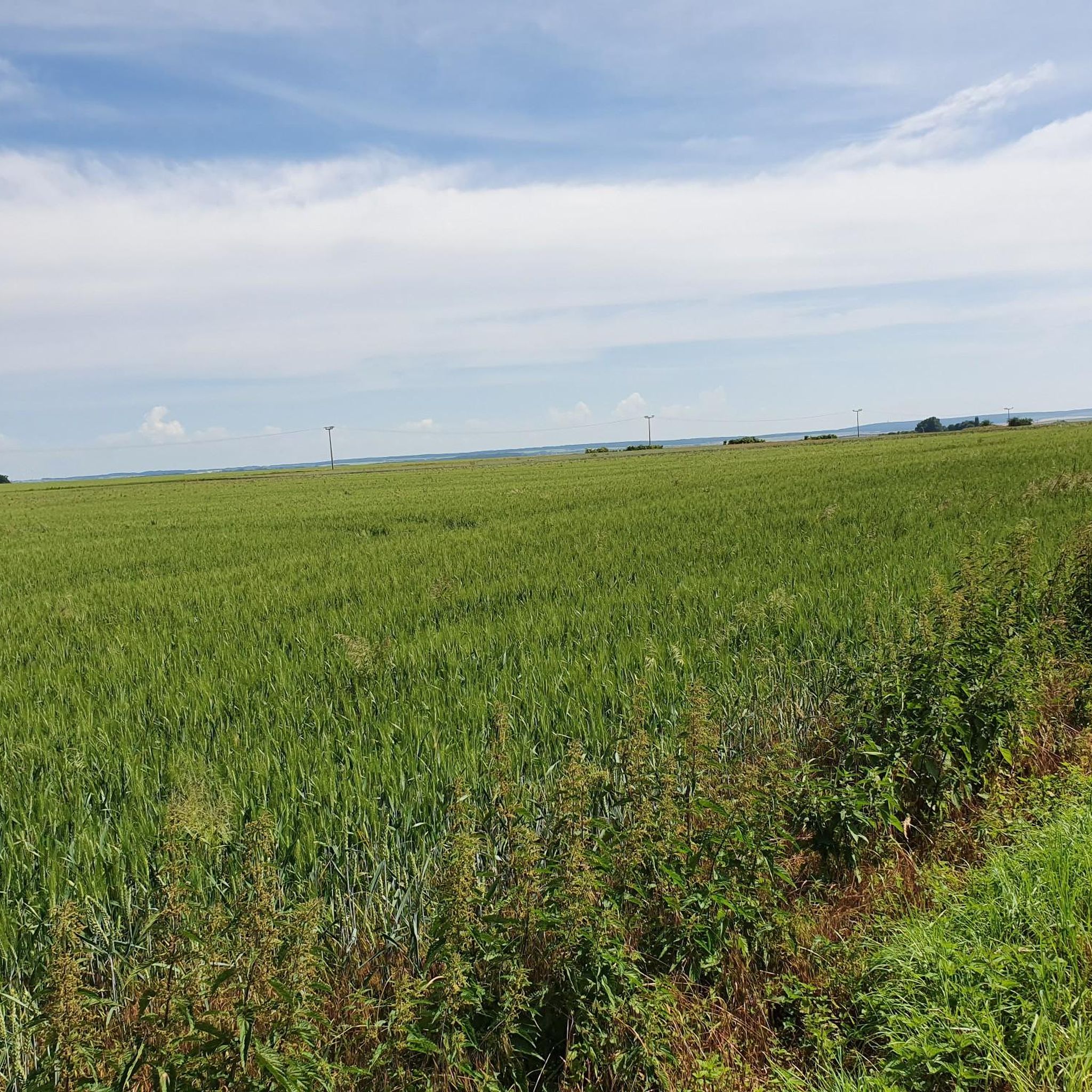
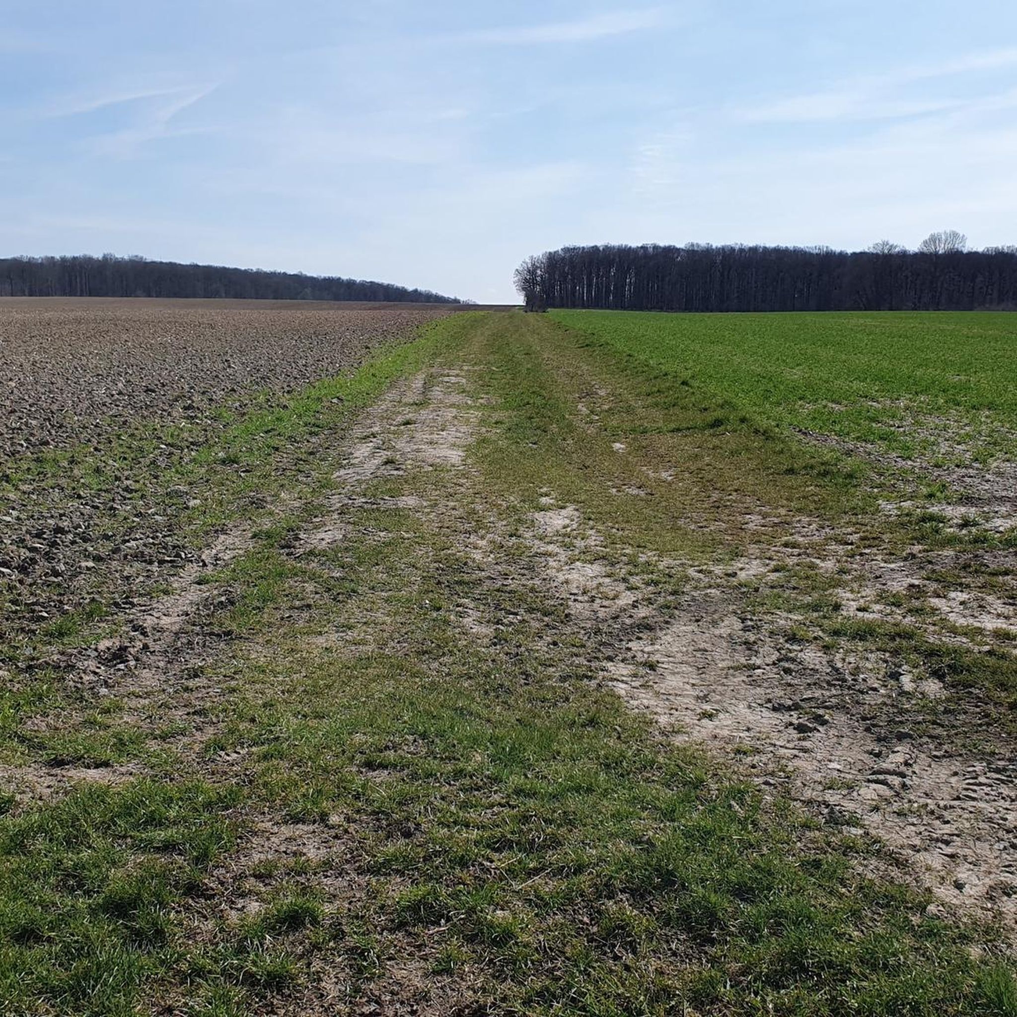
Gravel biking around Schlotheim offers routes through the varied landscapes of Thuringia, characterized by rolling hills, agricultural fields, and sections along river valleys. The region features a mix of open terrain and forested areas, providing diverse riding experiences. Elevations typically involve gradual climbs and descents, with some routes reaching over 400 meters of ascent.
Best gravel bike trails around Schlotheim
- The most popular gravel bike trail is Heyerode border house – Bette Oak loop from Seebach (bei Mühlhausen), a…
Last updated: October 6, 2026
6
riders
52.4km
03:12
450m
450m
Moderate gravel ride. Good fitness required. Mostly paved surfaces. Suitable for all skill levels.
2
riders
Hard gravel ride. Very good fitness required. Mostly paved surfaces. Suitable for all skill levels.

1
riders
34.3km
01:56
200m
200m
Moderate gravel ride. Good fitness required. Mostly paved surfaces. Suitable for all skill levels.
Our route recommendations are based on thousands of hikes, rides, and runs completed by other people on komoot.
Start today with a free account
Your next adventure awaits.
Tips from the Community

A beautiful old beech forest and very well signposted paths. The Hainich is not a UNESCO World Natural Heritage site for nothing.
0
0

nicely asphalted cycle path is fun to ride
0
0
very beautiful forest area with a lot of information about flora and fauna
0
0


Buy your entry chip during the day and enjoy it all in the evening
0
0

St. Wigberti's monastery. Werningshsusen
0
0

Sometimes you need a shelter, and this one is absolutely fine.
0
0

Beautiful deciduous forest in the Hainich National Park, not managed for decades.
1
0
Frequently Asked Questions
Are there beginner-friendly gravel bike trails around Schlotheim?
Yes, the region offers moderate gravel routes suitable for beginners. Consider the Spittelbrunnen – Unstrut Cycle Path loop from Volkenroda, which is 32.2 miles (51.9 km) long and follows the scenic Unstrut Cycle Path. Another moderate option is the Lohmühle Watermill – Hunger Tower (Bad Langensalza) loop from Sundhausen, covering 21.3 miles (34.3 km) with less elevation.
What are the more challenging gravel routes in the Schlotheim area?
For experienced gravel bikers seeking a challenge, the Schlotheim area features routes with significant elevation gain. The Heyerode border house – Bette Oak loop from Seebach (bei Mühlhausen) is a difficult 30.6 miles (49.2 km) trail with over 450 meters of ascent. Another demanding option is the Hainichbaude at Craulaer Kreuz – Bette Oak loop from Seebach, which is 30.8 miles (49.6 km) long and features nearly 500 meters of climbing through forested areas.
Can I find circular gravel bike routes in Schlotheim?
Yes, all the featured gravel bike routes around Schlotheim are designed as loops, allowing you to start and finish at the same point. This includes popular options like the Heyerode border house – Bette Oak loop from Seebach (bei Mühlhausen) and the Spittelbrunnen – Unstrut Cycle Path loop from Volkenroda.
What kind of distances can I expect on gravel routes near Schlotheim?
Gravel routes in the Schlotheim area typically range from moderate to longer distances. You'll find trails between 21 miles (34 km) and 32 miles (52 km), offering a good day out on the bike. For example, the Lohmühle Watermill – Hunger Tower (Bad Langensalza) loop from Sundhausen is 21.3 miles (34.3 km), while the Spittelbrunnen – Unstrut Cycle Path loop from Volkenroda extends to 32.2 miles (51.9 km).
What are some interesting landmarks or attractions to see along the gravel bike trails?
The routes around Schlotheim pass by several points of interest. You might encounter historical sites like Volkenroda Monastery or natural monuments such as the King's Oak. The Spittelbrunnen – Unstrut Cycle Path loop from Volkenroda follows the Unstrut river, offering views of structures like the Unstrut Weir, Thamsbrück.
What is the best time of year for gravel biking in Schlotheim?
The varied landscapes of Thuringia, including rolling hills and forested areas around Schlotheim, are enjoyable throughout the spring, summer, and autumn months. Spring brings blooming nature, summer offers longer daylight hours, and autumn provides beautiful foliage. While winter riding is possible, be prepared for colder temperatures and potentially muddy or icy conditions, especially in shaded forest sections.
Are there any viewpoints or scenic spots on the gravel bike routes?
Yes, the region's mix of open terrain and forested areas provides opportunities for scenic views. Routes often traverse rolling hills, offering vistas over agricultural fields and river valleys. The DBU Natural Heritage Forstberg is a designated viewpoint in the wider area, and routes like the Spittelbrunnen – Unstrut Cycle Path loop from Volkenroda offer continuous scenic views along the river.
What do other gravel bikers enjoy most about gravel biking in Schlotheim?
The komoot community highly rates the gravel biking experience in Schlotheim, with an average score of 5.0 stars from over 5 reviews. Riders often praise the varied terrain, which includes a mix of open fields, river valleys, and forested sections, providing diverse riding experiences. The well-maintained paths and the opportunity to explore the border region are also frequently highlighted.
Is public transport an option for accessing gravel bike trails in Schlotheim?
Schlotheim is a smaller town in Thuringia. While regional bus services connect it to larger towns, direct public transport access to specific trailheads might be limited. It's advisable to check local bus schedules and bike transport policies if you plan to use public transport to reach your starting point.
Where can I find parking for gravel biking in Schlotheim?
As a rural area, parking is generally available in and around the starting points of many routes, particularly in villages or near local attractions. For example, if starting a loop from Seebach or Volkenroda, you can typically find parking in or near these communities. Always look for designated parking areas or check local signage.
Are there family-friendly gravel biking options in Schlotheim?
While the listed routes are generally moderate to difficult, the region's network includes sections along river valleys like the Unstrut Cycle Path, which are often flatter and more suitable for families. The Lohmühle Watermill – Hunger Tower (Bad Langensalza) loop from Sundhausen is a moderate option with less elevation, making it potentially more accessible for families with some biking experience.
Most popular routes around Schlotheim
Most popular attractions around Schlotheim

Get inspired with the komoot mobile app


Explore more
Browse the best Gravel rides in other regions.
