The best gravel rides around Zella/Rhön
5.0
(1)
7
riders
3
rides
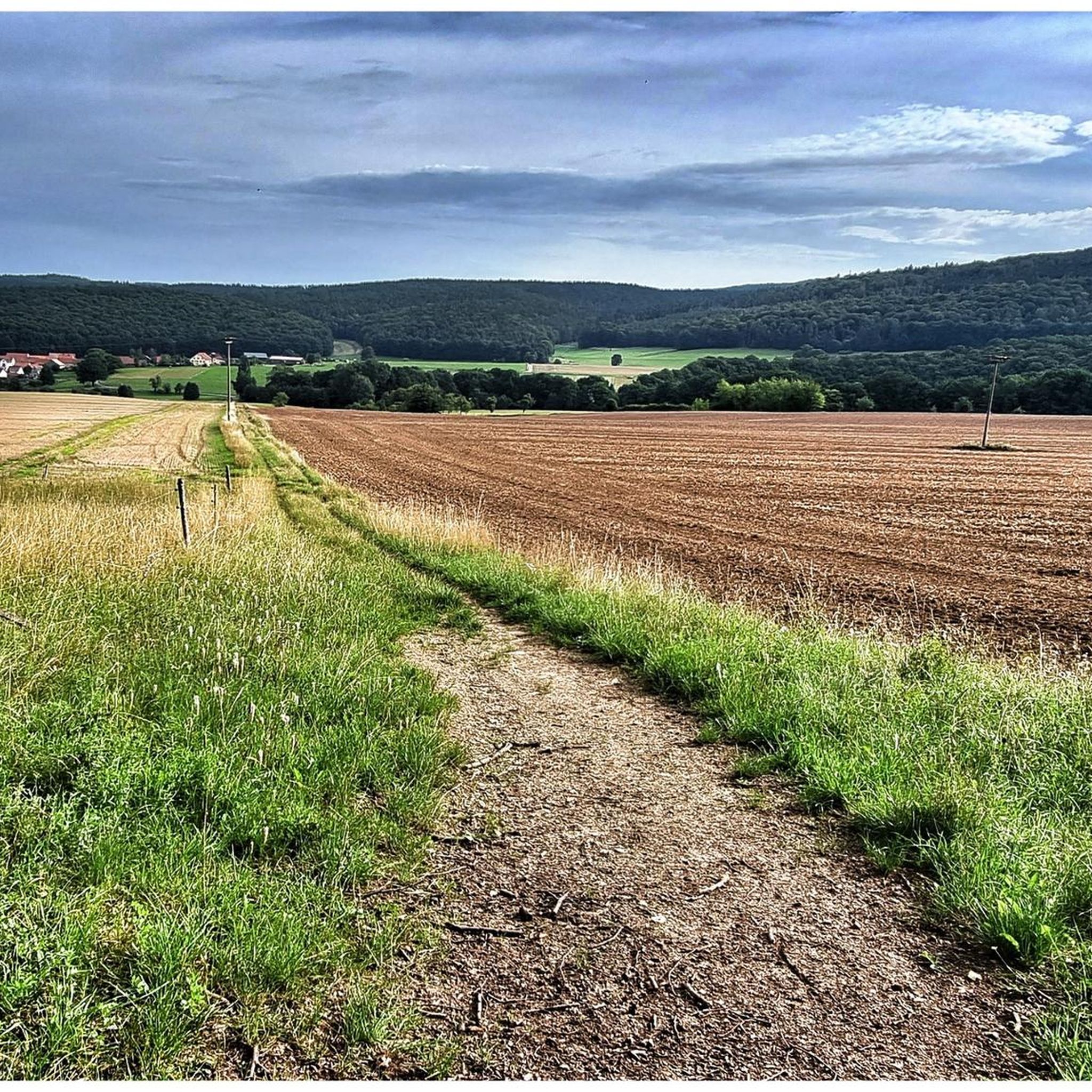
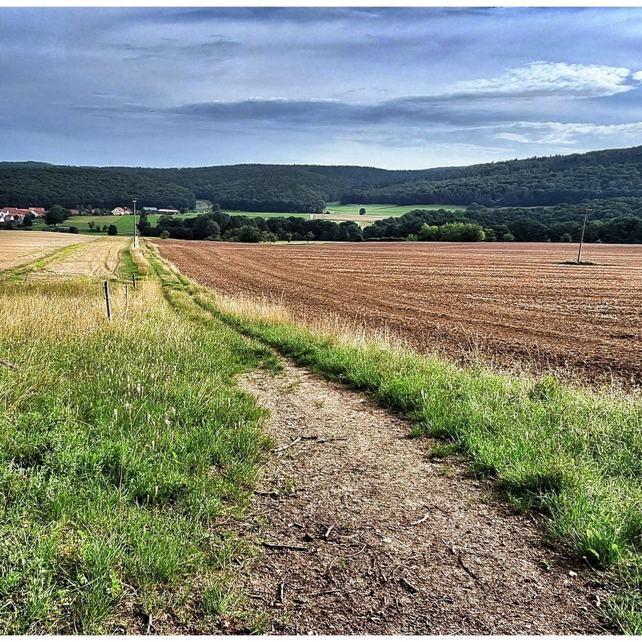
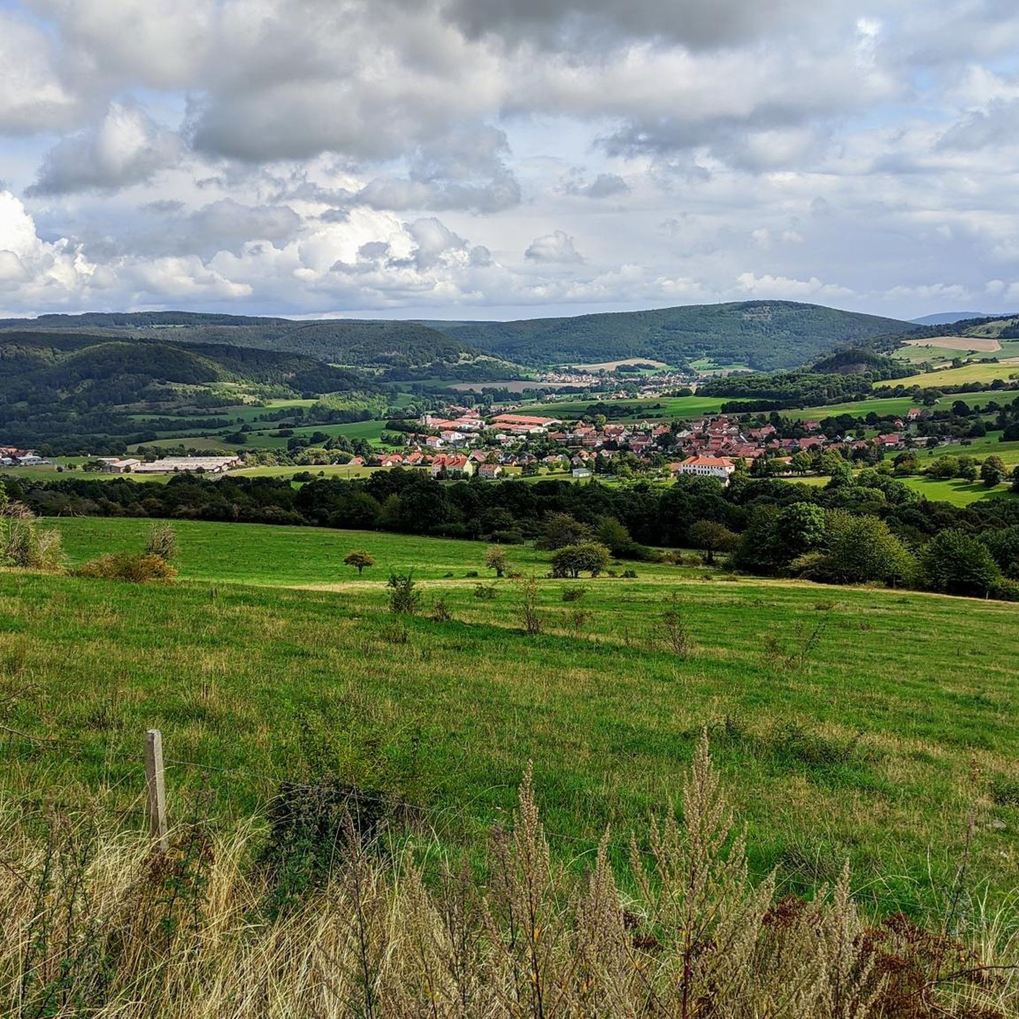
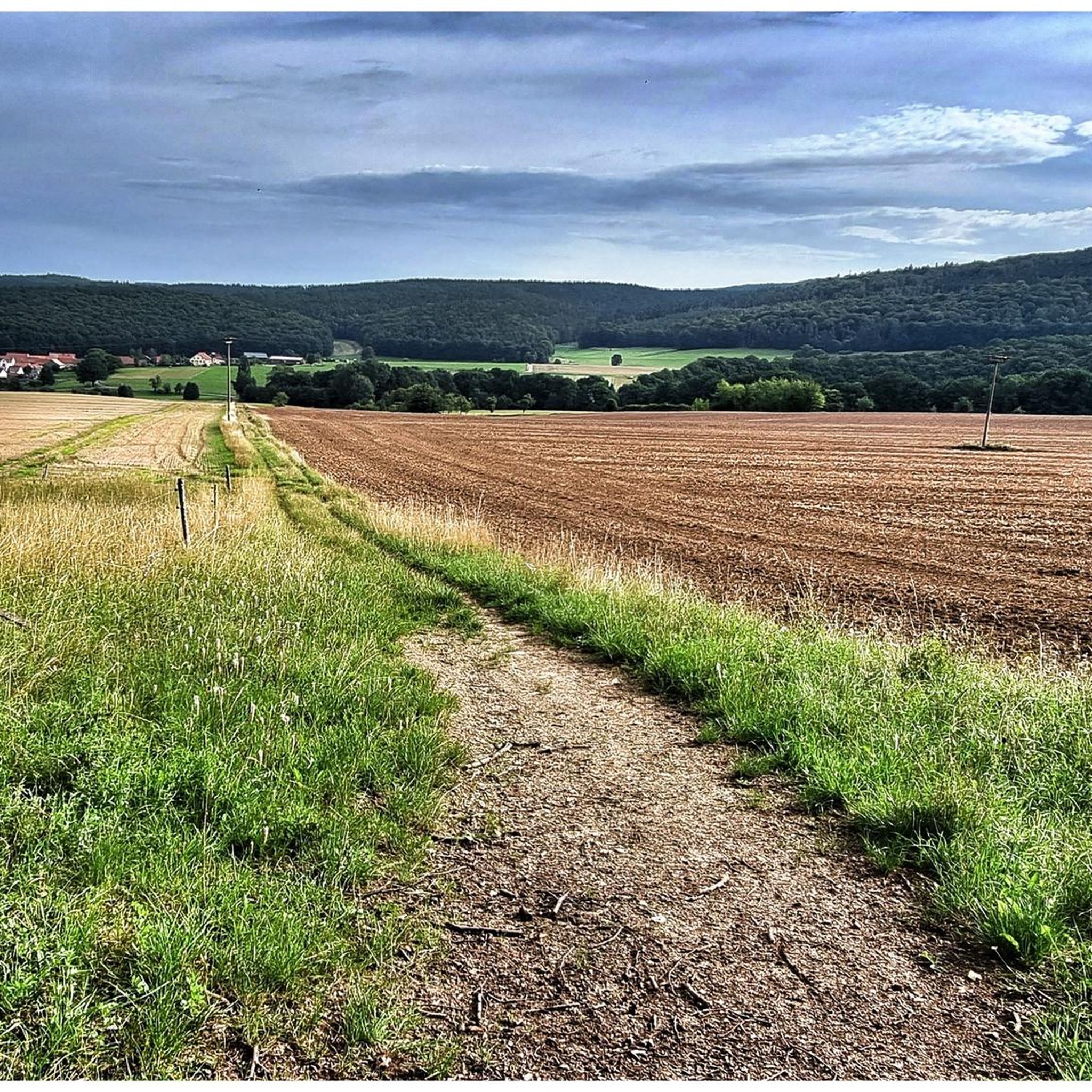
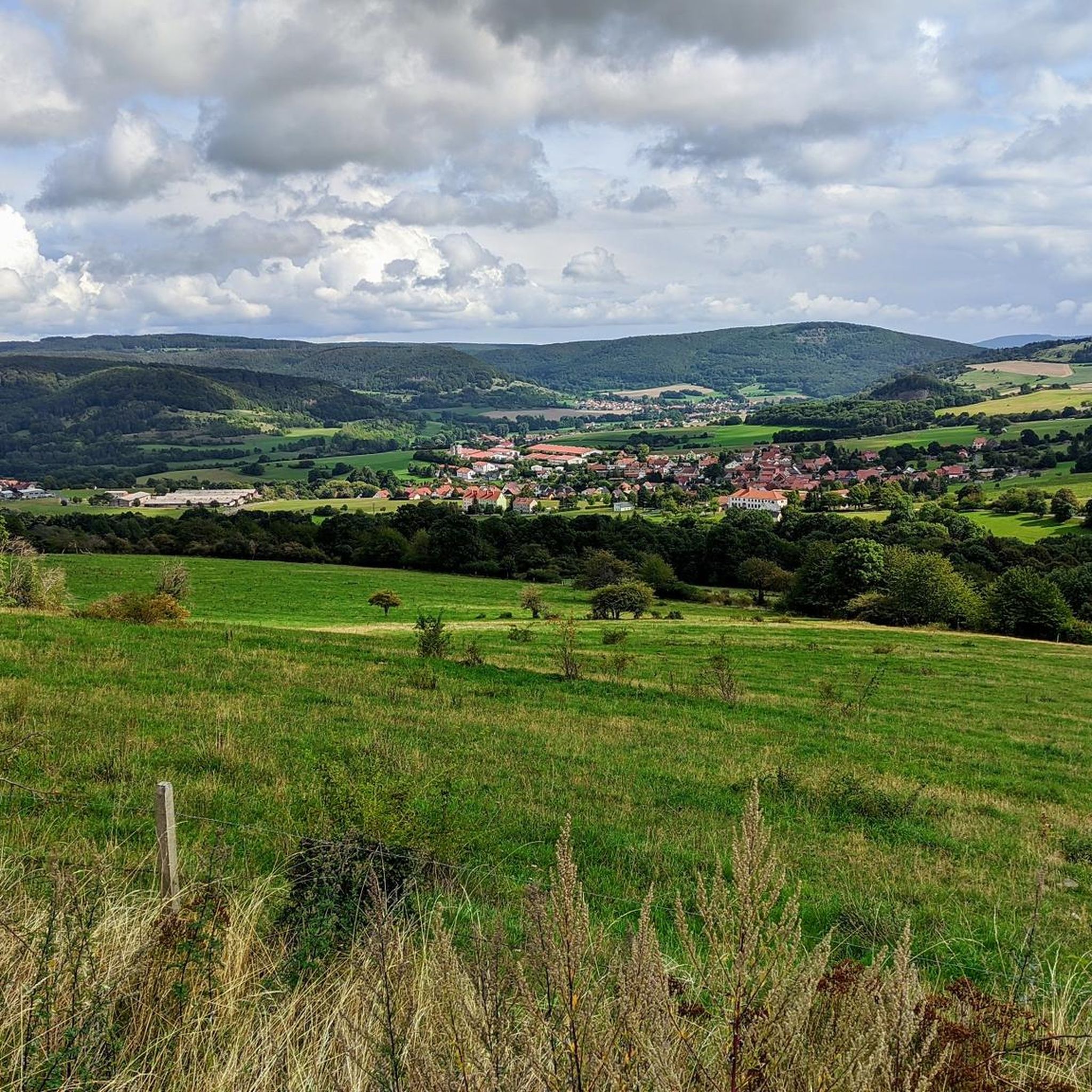
Gravel biking around Zella/Rhön offers diverse terrain within the UNESCO Rhön Biosphere Reserve. The region is characterized by rolling hills of the Auersberger Kuppenrhön, featuring landscapes formed by former volcanic craters and expansive, hilly terrain. Cyclists can navigate through varied environments including moors, mountain meadows, and orchard landscapes, often with far-reaching views across the plains. The Felda valley and its river also contribute to the area's natural beauty.
Best gravel bike trails around Zella/Rhön
- The most popular gravel bike trail is Felda Rail Trail – Hohe Asch Summit loop from Dermbach, a 16.2 miles (26.1 km) trail that takes 1 hour 36 minutes to complete. This moderate route features undulating paths and rewarding ascents.
- Another top favourite among local gravel bikers is Gliding Airfield Wasserkuppe – View of the Wasserkuppe loop from Dippach, a difficult 37.2 miles (59.9 km) path. This route offers extensive views and significant elevation changes across the Rhön landscape.
- Local gravel bikers also love the Hohe Asch Summit – Felda Rail Trail loop from Empfertshausen, a 15.7 miles (25.3 km) trail leading through the Felda valley, often completed in about 1 hour 33 minutes.
- Gravel biking around Zella/Rhön is defined by rolling hills, dense forests, and open countryside. The network offers options for both moderate and difficult ability levels.
- The routes in Zella/Rhön are highly rated by the komoot community with an average score of 5.0 stars from a few reviews. More than 10 gravel bikers have used komoot to explore Zella/Rhön's varied terrain.
Last updated: May 21, 2026
3
riders
26.1km
01:36
370m
370m
Moderate gravel ride. Good fitness required. Mostly paved surfaces. Suitable for all skill levels.
5.0
(1)
2
riders
59.9km
03:55
1,050m
1,050m
Hard gravel ride. Very good fitness required. Mostly paved surfaces. Suitable for all skill levels.

Sign up for free
2
riders
25.3km
01:33
370m
370m
Moderate gravel ride. Good fitness required. Mostly paved surfaces. Suitable for all skill levels.
Our route recommendations are based on thousands of hikes, rides, and runs completed by other people on komoot.
Start today with a free account
Your next adventure awaits.
Login or Signup

Other adventures around Zella/Rhön

Tips from the Community

Very worthwhile to walk there - beautiful view from the tower.
0
0

Oll Oll Oll Oll Oll oll oll ä Pop Pop LOL Oll LOL LOL LOL LOL LOL Oll Oll p ö Oll Oll Mol Oll LL LL LL LOL komm l p
0
1


Here, on the fourth highest mountain in the Rhön, the Hessian-Bavarian border runs... from here, if the weather is good, you can see the Lange Rhön. At the summit, there is a German Telekom transmission tower that can be seen from far away.
12
0

Great surface and very good for riding on a racing bike.
1
0

Demanding, but scenically beautiful!
0
0

In the Hessian part of the UNESCO Rhön Biosphere Reserve lies the Rotes Moor nature reserve (size: 314.7 ha), designated in 1979.
9
0
Thanks to its central location in the border triangle of Hesse, Bavaria and Thuringia, the Wasserkuppe in the UNESCO Rhön Biosphere Reserve is easily accessible from all directions.
10
0
Frequently Asked Questions
How many gravel bike trails are available in Zella/Rhön?
There are 6 gravel bike trails around Zella/Rhön, offering a mix of moderate and difficult routes through the diverse landscape of the UNESCO Rhön Biosphere Reserve.
What kind of terrain can I expect on gravel bike trails in Zella/Rhön?
You can expect varied terrain, from rolling hills and distinctive peaks in the Auersberger Kuppenrhön to paths through dense forests, open countryside, and along the Felda valley. The routes feature both challenging climbs and tranquil sections, ideal for gravel bikes.
Are there any family-friendly gravel biking options in Zella/Rhön?
Yes, there are moderate routes suitable for families. For instance, the Hohe Asch Summit – Felda Rail Trail loop from Empfertshausen is a 15.7-mile trail that leads through the scenic Felda valley, offering a rewarding experience without extreme difficulty.
What are some notable landmarks or attractions I can see along the gravel routes?
The region is rich in natural and cultural landmarks. You might encounter the tranquil Bernshäuser Kutte lake, or pass by the impressive Baroque complex of Propstei Zella and the beautiful Barockkirche "Mariä Himmelfahrt" in Zella/Rhön itself. Routes also offer views of various peaks like the Gläserberg Summit.
Are there routes with good viewpoints in the Zella/Rhön area?
Absolutely. Many gravel routes in Zella/Rhön traverse elevated areas, providing splendid views over the Felda valley and the northern Rhön. The rolling hills of the Auersberger Kuppenrhön ensure rewarding ascents that often open up to expansive panoramic vistas.
Can I find circular gravel routes in Zella/Rhön?
Yes, several routes are designed as loops. For example, the Felda Rail Trail – Hohe Asch Summit loop from Dermbach is a popular circular route that allows you to start and end in the same location.
What is the best time of year for gravel biking in Zella/Rhön?
The spring, summer, and autumn months generally offer the best conditions for gravel biking in Zella/Rhön. The diverse landscapes are particularly beautiful during these seasons, with pleasant temperatures for exploring the forests, meadows, and fields.
Are there options for more challenging gravel rides?
Yes, Zella/Rhön offers 4 difficult gravel routes for experienced riders. An example is the View of Wasserkuppe – View of Wasserkuppe loop from Dippach, which covers nearly 60 km with significant elevation changes, providing a demanding yet rewarding experience.
What do other gravel bikers say about the trails in Zella/Rhön?
The gravel biking routes in Zella/Rhön are highly rated by the komoot community, with an average score of 5.0 stars from several reviews. Riders often praise the varied terrain, the quiet woodlands, and the scenic views across the Rhön Biosphere Reserve.
Are there any natural features to explore on the gravel trails?
Beyond the rolling hills and dense forests, you'll find natural features like the Felda river and Schmerbach stream, which suggest riparian paths. The Bernshäuser Kutte, a tranquil lake, is another beautiful natural monument that can be a scenic point of interest along a route.
Where can I find parking for gravel biking in Zella/Rhön?
Parking is generally available in and around Zella/Rhön, particularly in the villages that serve as starting points for many routes. Look for designated parking areas in places like Dermbach, Empfertshausen, or Unterweid, which are common trailheads.
Is public transport available for cyclists in Zella/Rhön?
While Zella/Rhön is well-suited for cycling, public transport options for carrying bikes can be limited. It's advisable to check local bus or train schedules in advance for specific routes and bike carriage policies, especially if you plan to combine your ride with public transport.
Most popular routes around Zella/Rhön
Most popular attractions around Zella/Rhön

Get inspired with the komoot mobile app


Explore more
Browse the best Gravel rides in other regions.
