The best gravel rides around Mülverstedt
4.9
(33)
145
riders
19
rides
Gravel biking around Mülverstedt offers a network of trails through the Hainich region, characterized by dense woodlands and rolling terrain. The area features established cycle paths and forest tracks, providing varied surfaces for gravel cyclists. Mülverstedt serves as a prime starting point for exploring the UNESCO Hainich National Park, known for its ancient beech forests. Elevation changes are present, with routes navigating through hills and valleys, supporting both moderate and more challenging gravel bike trails.
Best gravel bike trails around…
Last updated: July 2, 2026
4.5
(2)
11
riders
32.1km
02:04
430m
430m
Moderate gravel ride. Good fitness required. Mostly paved surfaces. Suitable for all skill levels.
5.0
(2)
14
riders
Moderate gravel ride. Good fitness required. Mostly paved surfaces. Suitable for all skill levels.

Sign up for free
5.0
(5)
13
riders
40.5km
02:31
420m
420m
Moderate gravel ride. Good fitness required. Mostly paved surfaces. Suitable for all skill levels.
6
riders
43.1km
02:53
640m
640m
Hard gravel ride. Very good fitness required. Mostly paved surfaces. Suitable for all skill levels.
4.5
(6)
21
riders
52.6km
02:49
390m
390m
Moderate gravel ride. Good fitness required. Mostly paved surfaces. Suitable for all skill levels.
Get access to more routes and recommendations from other explorers.
Sign up for free
Already have an account?
Our route recommendations are based on thousands of hikes, rides, and runs completed by other people on komoot.
Start today with a free account
Your next adventure awaits.
Login or Signup
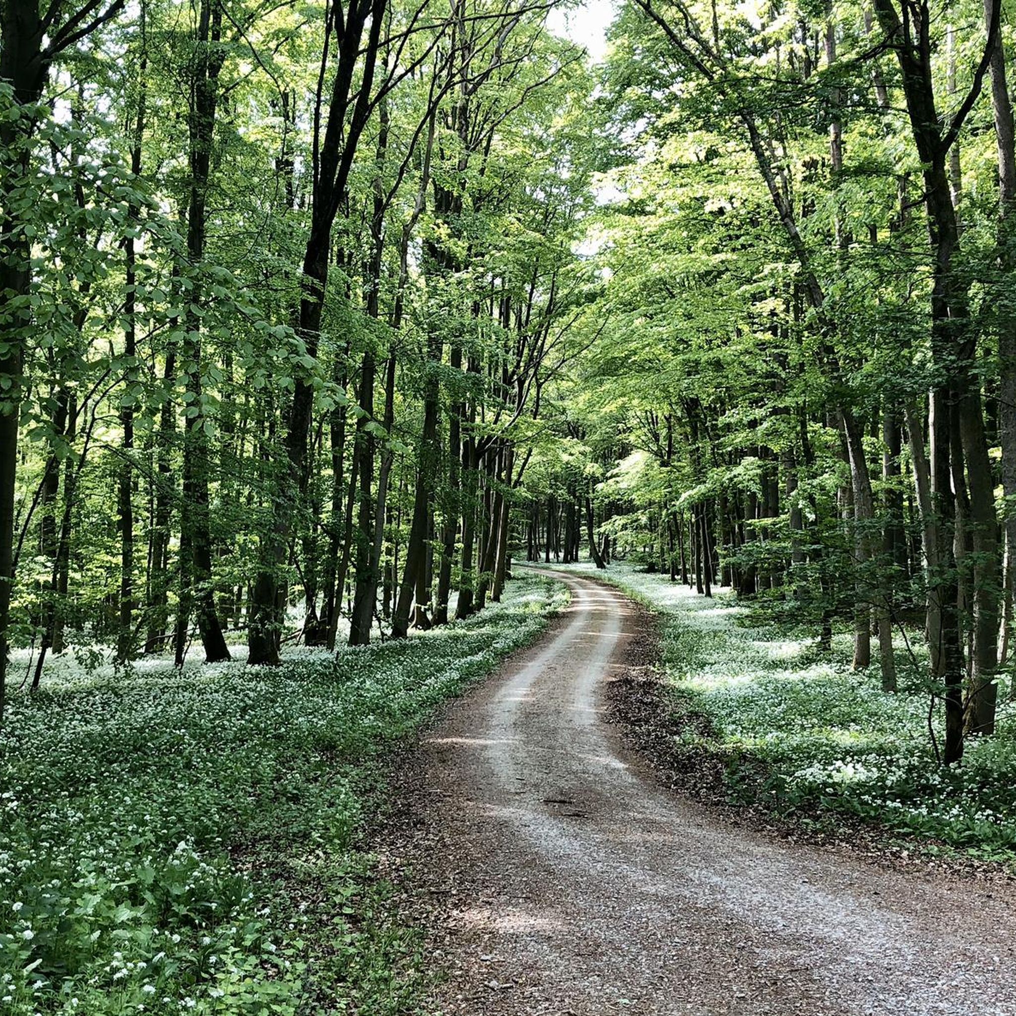
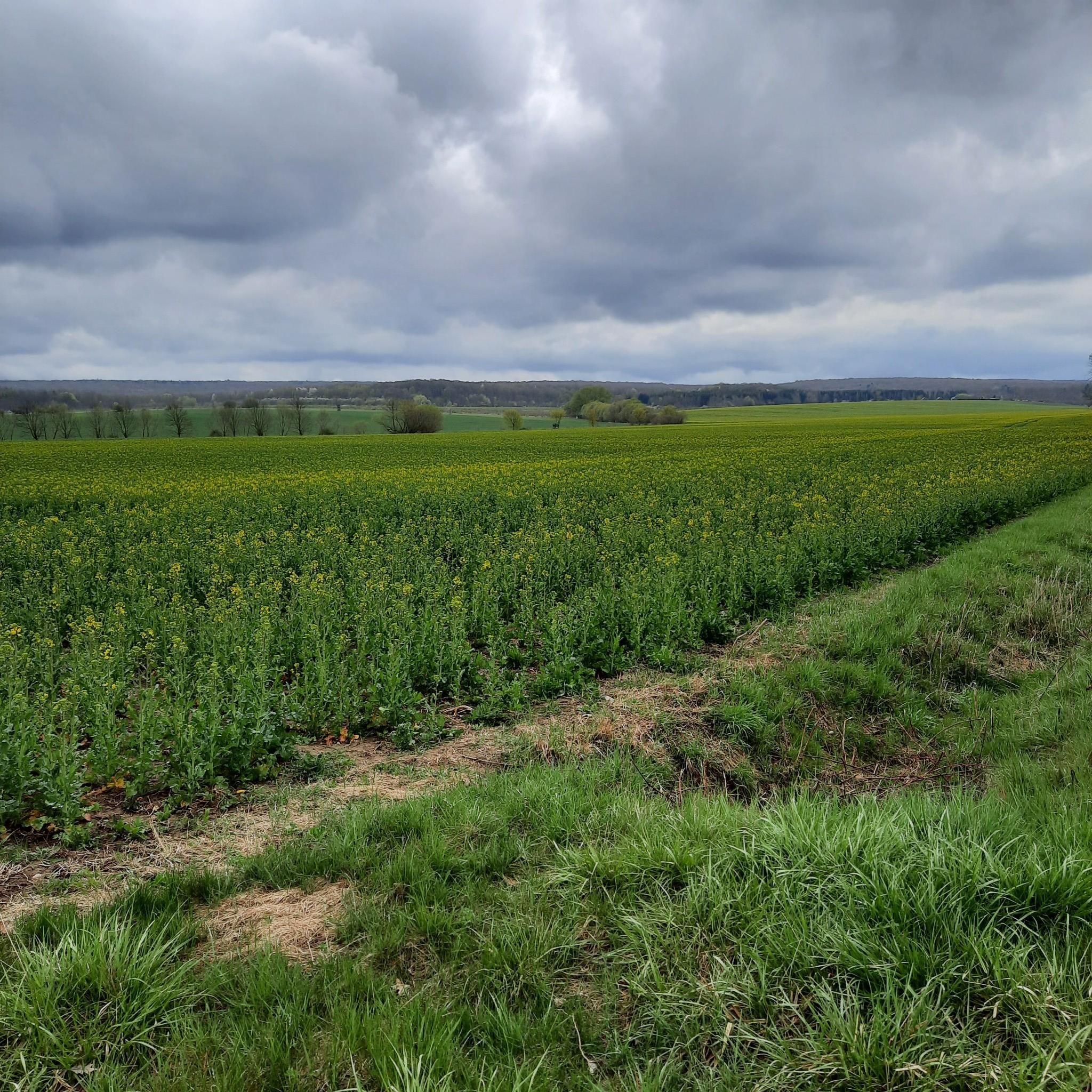
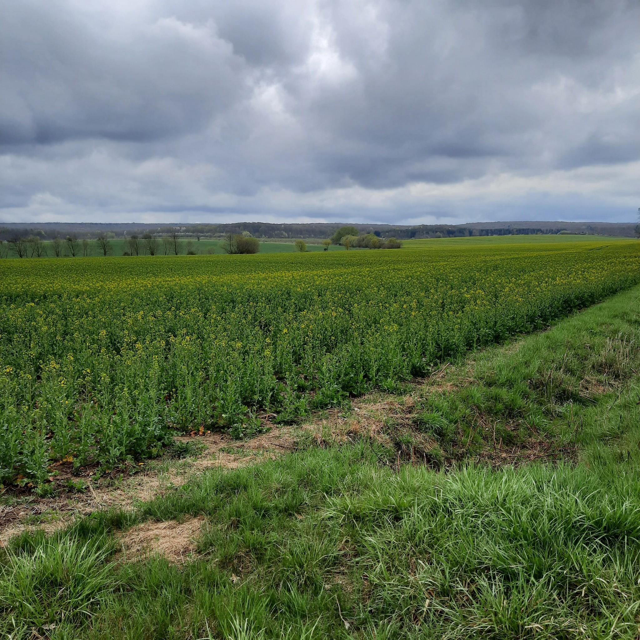
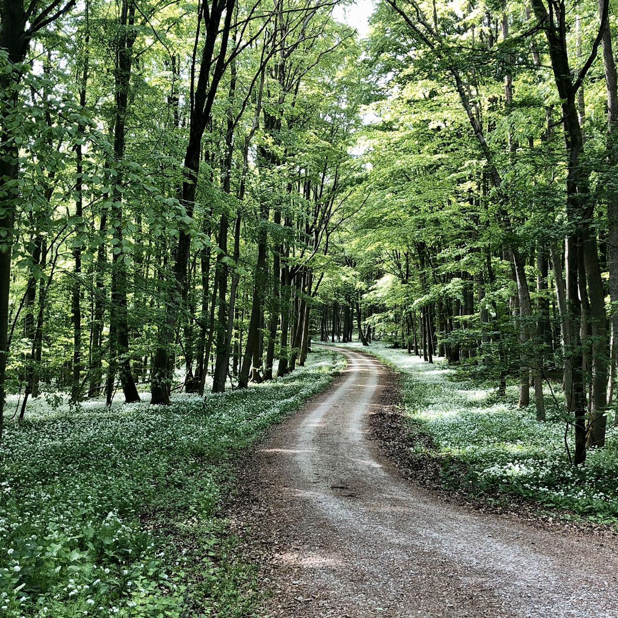

Tips from the Community

Secret tip for the 🐻🌱 time, mega. Nice hut, rightly there is a stamp here.
8
0

Good place to stop for a break
0
0

Beautiful photo opportunity and a nice highlight when driving through
0
0

Sometimes you need a shelter, and this one is absolutely fine.
0
0

Beautiful deciduous forest in the Hainich National Park, not managed for decades.
1
0

Shelter at Totenkopf, a quiet place to take a break
0
0
parking lot with information board
0
0
Frequently Asked Questions
How many gravel bike trails are available around Mülverstedt?
There are over 30 gravel bike routes available in the Mülverstedt area on komoot, offering a variety of experiences through the Hainich region's dense woodlands and rolling terrain. These routes are generally rated as moderate to difficult.
What are the typical durations for gravel bike trails in Mülverstedt?
Trail durations vary, but many popular routes range from approximately 2 to 3 hours. For example, the Hainichbaude at Craulaer Kreuz – Bette Oak loop from Weberstedt takes about 2 hours 3 minutes, while the Hainichbaude at Craulaer Kreuz – The Hainichbaude loop from Unstrut-Hainich is closer to 2 hours 46 minutes.
Are there any family-friendly gravel biking options in Mülverstedt?
While there are no routes specifically categorized as 'easy' in the data, some moderate trails might be suitable for families with older children or those with some gravel biking experience. The region features established cycle paths which can offer a smoother ride. Always check the route's distance and elevation profile before heading out with family.
What kind of terrain can I expect on gravel bike trails near Mülverstedt?
The Mülverstedt area is characterized by dense woodlands, rolling hills, and established cycle paths. You'll encounter varied surfaces, including forest tracks and paved sections, with noticeable elevation changes as routes navigate through hills and valleys.
What do other gravel bikers enjoy most about Mülverstedt?
The area is highly rated by the komoot community, with an average score of 4.8 stars from over 60 reviews. Reviewers often praise the beautiful forested landscapes of the Hainich, the well-maintained cycle paths, and the variety of routes suitable for different skill levels, from moderate to challenging.
Are there any challenging gravel trails for experienced riders?
Yes, Mülverstedt offers several challenging routes. For instance, the Bette Oak – Hainichbaude at Craulaer Kreuz loop from Kammerforst is a difficult 43.1 km trail with over 640 meters of elevation gain, providing a significant test for experienced gravel bikers.
What are some scenic viewpoints or natural attractions along the gravel routes?
Many routes pass through the scenic Hainich National Park. You might encounter natural monuments like the Bette Oak, a prominent natural landmark. Other highlights in the broader region include the Werratal Cliffs Near Frankenroda and Falken and the Fairy Trail within the Hainich National Park.
Are there any historical sites or castles to explore near the trails?
Yes, the region around Mülverstedt has historical significance. You can find highlights such as the Frauentor, Rabenturm and the City Wall of Mühlhausen, or the Haineck Castle Ruins. These can be interesting detours or destinations for a ride.
Are there circular gravel bike routes available?
Many of the gravel bike trails in Mülverstedt are designed as loops, allowing you to start and end at the same point. Examples include the popular Rest Area on the K2 Cycle Path – Cycle Path to Großwelsbach loop from Bad Langensalza, which offers a moderate 48.7 km ride.
What is the best time of year for gravel biking in Mülverstedt?
The region's dense woodlands and established paths make it enjoyable across multiple seasons. Spring and autumn offer pleasant temperatures and beautiful foliage. Summer is also great, especially for shaded forest sections. Winter riding is possible, but trail conditions may vary due to snow or ice, particularly on unpaved forest tracks.
Are there less crowded gravel trails for a more peaceful experience?
While specific crowd levels aren't tracked, exploring routes during off-peak hours (weekdays, early mornings) or choosing trails slightly further from main access points can often lead to a more tranquil experience. The vastness of the Hainich region generally allows for finding quieter sections.
What should I know about parking for gravel bike trails in Mülverstedt?
Specific parking information for each route is typically detailed on the individual komoot Tour page. Generally, you can find parking near trailheads or in nearby villages like Weberstedt, Bad Langensalza, or Unstrut-Hainich, which serve as common starting points for many routes.
Most popular routes around Mülverstedt
Most popular attractions around Mülverstedt

Get inspired with the komoot mobile app


Explore more
Browse the best Gravel rides in other regions.
