The best gravel rides around Dippach
4.8
(5)
29
riders
8
rides
Gravel biking around Dippach, Luxembourg, offers diverse landscapes characterized by rolling hills, expansive forests, and fertile farmlands in the southwestern region. The area features varied terrain, including both paved and unpaved surfaces, providing an authentic gravel biking experience. Several river systems, such as the Mess, Tajel, and Gëlden, contribute to scenic routes and valleys, while the Dippecherbësch forest provides tranquil wooded paths.
Best gravel bike trails around Dippach
- The most popular gravel bike trail is Rhäden Nature Reserve – Wild…
Last updated: May 22, 2026
4.5
(2)
13
riders
Moderate gravel ride. Good fitness required. Mostly paved surfaces. Suitable for all skill levels.
5
riders
Easy gravel ride. Great for any fitness level. Mostly paved surfaces. Suitable for all skill levels.

Sign up for free
1
riders
22.0km
01:25
360m
360m
Moderate gravel ride. Good fitness required. Mostly paved surfaces. Suitable for all skill levels.
2
riders
Hard gravel ride. Good fitness required. You may need to push your bike for some segments of this route.
2
riders
Hard gravel ride. Very good fitness required. Mostly paved surfaces. Suitable for all skill levels.
Get access to more routes and recommendations from other explorers.
Sign up for free
Already have an account?
Our route recommendations are based on thousands of hikes, rides, and runs completed by other people on komoot.
Start today with a free account
Your next adventure awaits.
Login or Signup
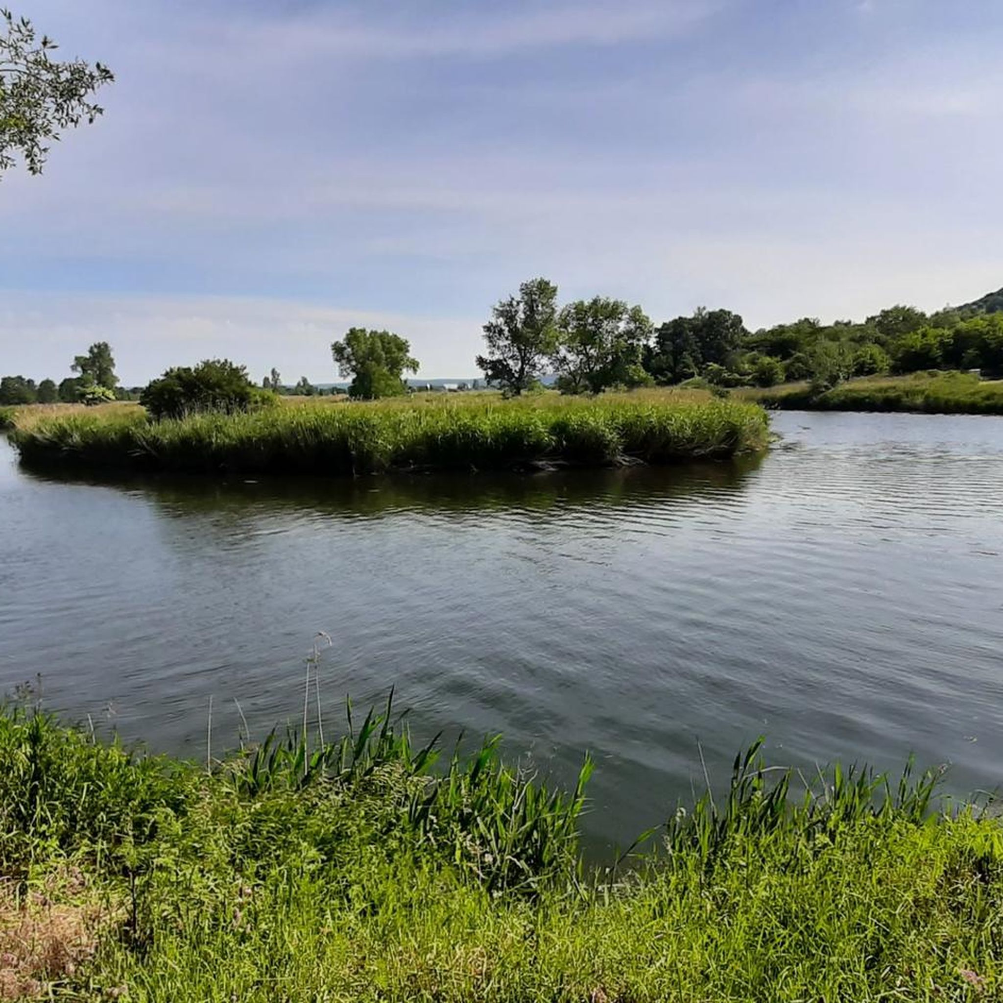
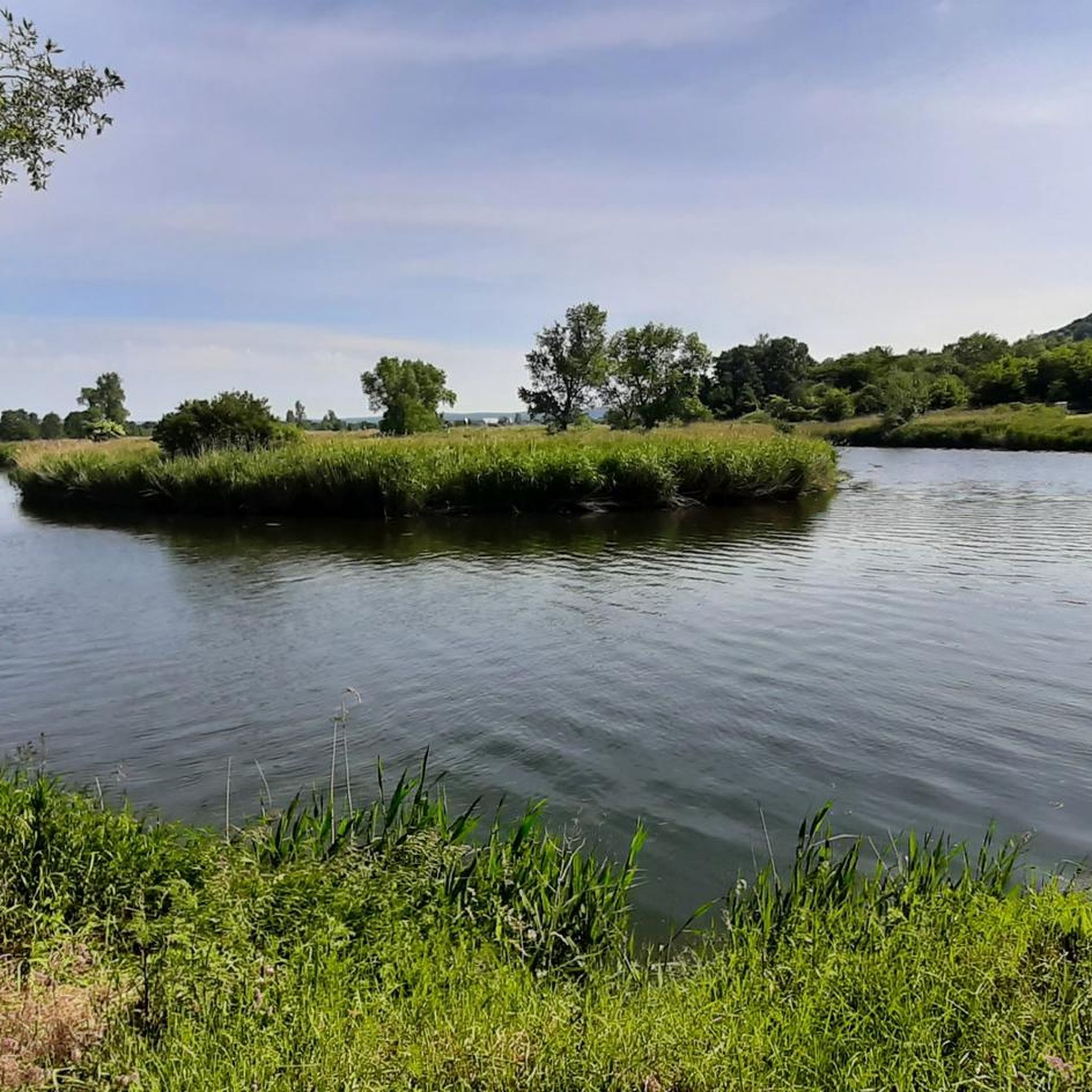
Tips from the Community

Nice and tidy rest area directly on the hiking trail
0
0

The town hall in Gerstungen is the former Villa Kleinsorge from 1919.
1
0

Wonderfully shady rest area with stamp box and seating 👍😊
1
0
Beautiful, shady rest area in the forest with stamp box 🗃️
0
0

Gerstungen station served as a border station until reunification. Citizens of the GDR were not permitted to travel from here without special authorization/enter the Federal Republic of Germany. Since Gerstungen was already within the restricted area, other GDR citizens were also only allowed to stay there with permission, or residents had to carry appropriate identification documents. More information
0
0

The hut offers shelter from the rain in bad weather, and the benches invite you to take a short rest.
1
0

This route between Unterellen and Lauchröden is absolutely recommended.
0
0

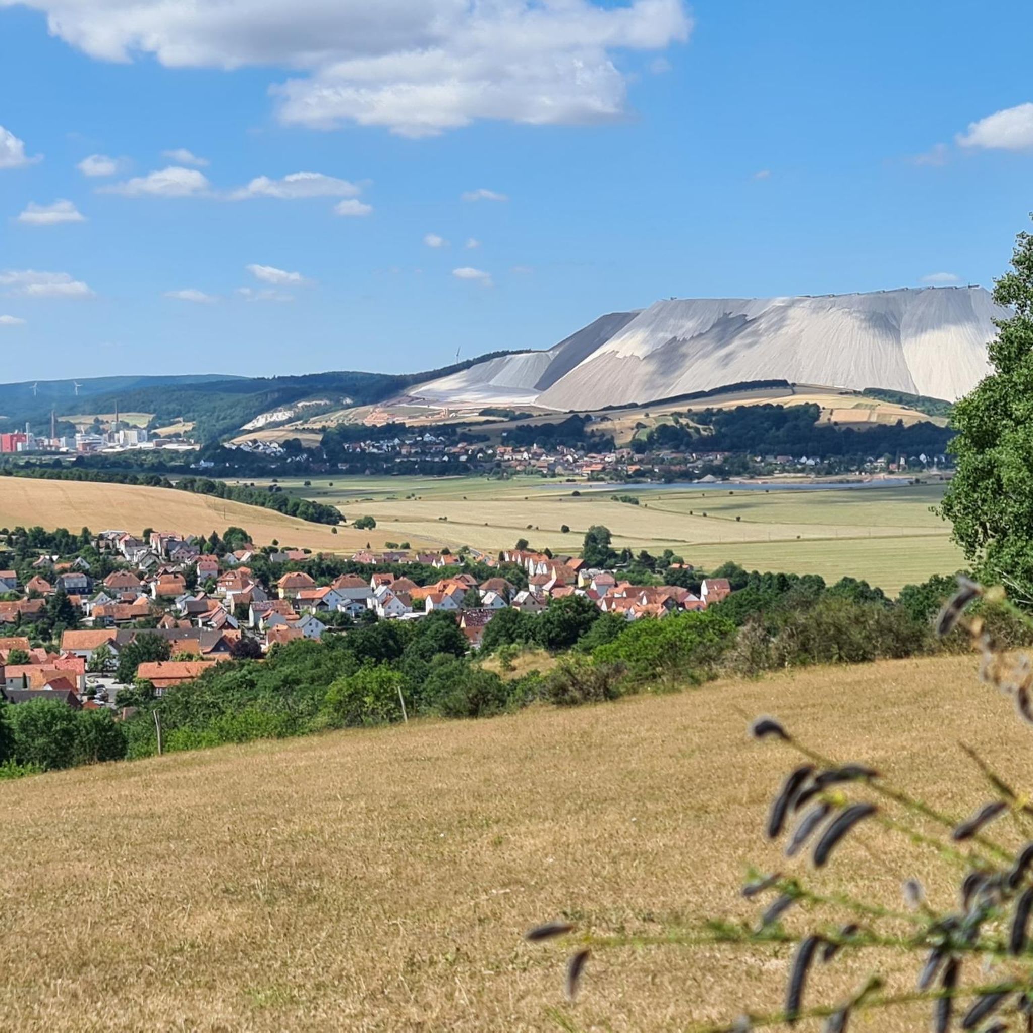
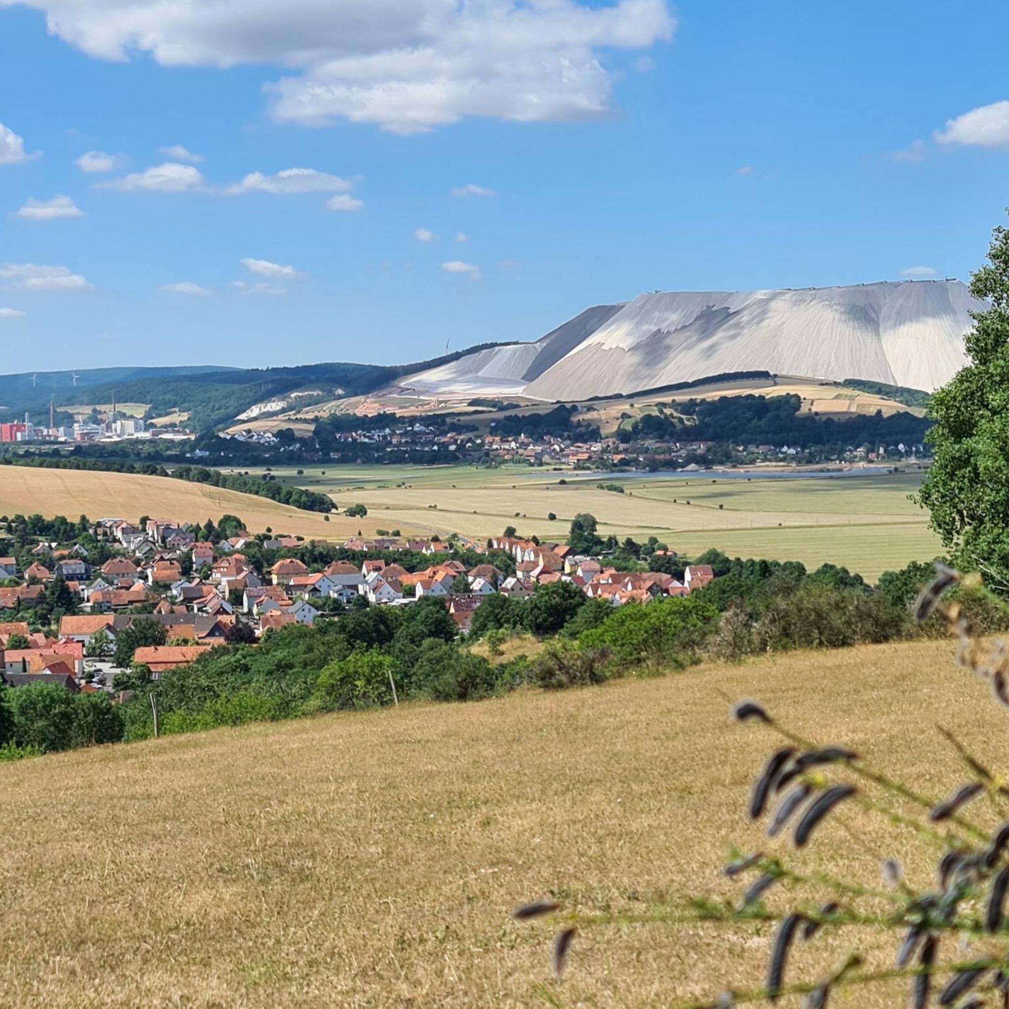
From the Rhäden you have a great view of the MonteKali near Heringen.
0
0
Frequently Asked Questions
What is the typical terrain like for gravel biking in Dippach?
Gravel biking in Dippach offers a diverse landscape characterized by rolling hills, expansive forests like the Dippecherbësch, and fertile farmlands. You'll encounter a mix of both paved and unpaved surfaces, providing an authentic gravel biking experience. Several river systems, including the Mess, Tajel, and Gëlden, contribute to scenic routes and valleys.
How many gravel bike trails are available in Dippach?
There are over 20 gravel bike trails around Dippach, catering to various skill levels. The komoot community has mapped 22 routes in total, ensuring a good selection for your ride.
What are the difficulty levels of gravel bike trails in Dippach?
Dippach offers a range of difficulty levels. You'll find 2 easy routes perfect for a relaxed ride, 15 moderate routes that provide a good challenge, and 5 more difficult trails for experienced gravel bikers seeking a more strenuous adventure.
What kind of elevation gain can I expect on Dippach's gravel routes?
The elevation gain varies across Dippach's rolling terrain. For instance, a popular moderate route like the Rhäden Observation Tower – Rhäden Nature Reserve loop from Wildeck-Bosserode features around 800 feet (243 meters) of elevation gain over 26.7 miles. Other routes can have up to 1,170 feet (356 meters) or more, offering varied climbing challenges.
Are there any historical landmarks or points of interest along the gravel trails?
Yes, Dippach and its surroundings offer several points of interest. While exploring, you might encounter historical sites such as the Ruins of Blumenstein Castle or Philippsthal Castle. The region also features the remarkable Bettange Castle, built in 1753, which can be integrated into your routes.
What natural features can I expect to see while gravel biking in Dippach?
You'll be immersed in beautiful natural scenery. Expect to ride through expansive forests, across fertile farmlands, and along rolling hills. The region is also home to several river systems like the Mess, Tajel, and Gëlden, and the source of the Pétrusse stream, which often create picturesque valleys and scenic routes.
What is the best time of year for gravel biking in Dippach?
Dippach experiences a mild and temperate climate with warm summers and cool winters, making it a pleasant destination for outdoor activities throughout much of the year. Spring and autumn generally offer the most comfortable temperatures for gravel biking, with vibrant foliage or blooming landscapes.
Are there family-friendly gravel biking options in Dippach?
Yes, Dippach offers easier routes suitable for families. For example, the Picnic Area at the Werra – Werra Riverside Path loop from Gerstungen is an easy 8.9-mile (14.3 km) route with minimal elevation gain, perfect for a relaxed family outing.
Are there loop trails available for gravel biking in Dippach?
Many of the gravel routes in Dippach are designed as loops, allowing you to start and finish at the same point. For instance, the popular Rhäden Nature Reserve – View of Monte Kali loop from Philippsthal (Werra) is a 27.4-mile loop offering diverse scenery.
What do other gravel bikers say about the trails in Dippach?
The gravel biking routes in Dippach are highly rated by the komoot community, with an average score of 4.5 stars from over 11 reviews. More than 60 gravel bikers have used komoot to explore the varied terrain, often praising the diverse landscapes and well-maintained paths.
Where can I find parking for gravel biking routes in Dippach?
While specific parking areas for each route are not always detailed, Dippach, being a municipality, generally offers public parking options in its villages and near popular trailheads. It's advisable to check local signage or use navigation apps for parking suggestions close to your chosen starting point.
Is public transport accessible for reaching gravel bike trails in Dippach?
Dippach is part of Luxembourg's public transport network. While direct access to every trailhead might vary, you can often reach the vicinity of many routes by bus. It's recommended to check the local bus schedules and routes to plan your journey, especially if you're bringing your bike.
Most popular attractions around Dippach

Get inspired with the komoot mobile app


Explore more
Browse the best Gravel rides in other regions.
