The best gravel rides around Berlstedt
4.8
(32)
161
riders
20
rides
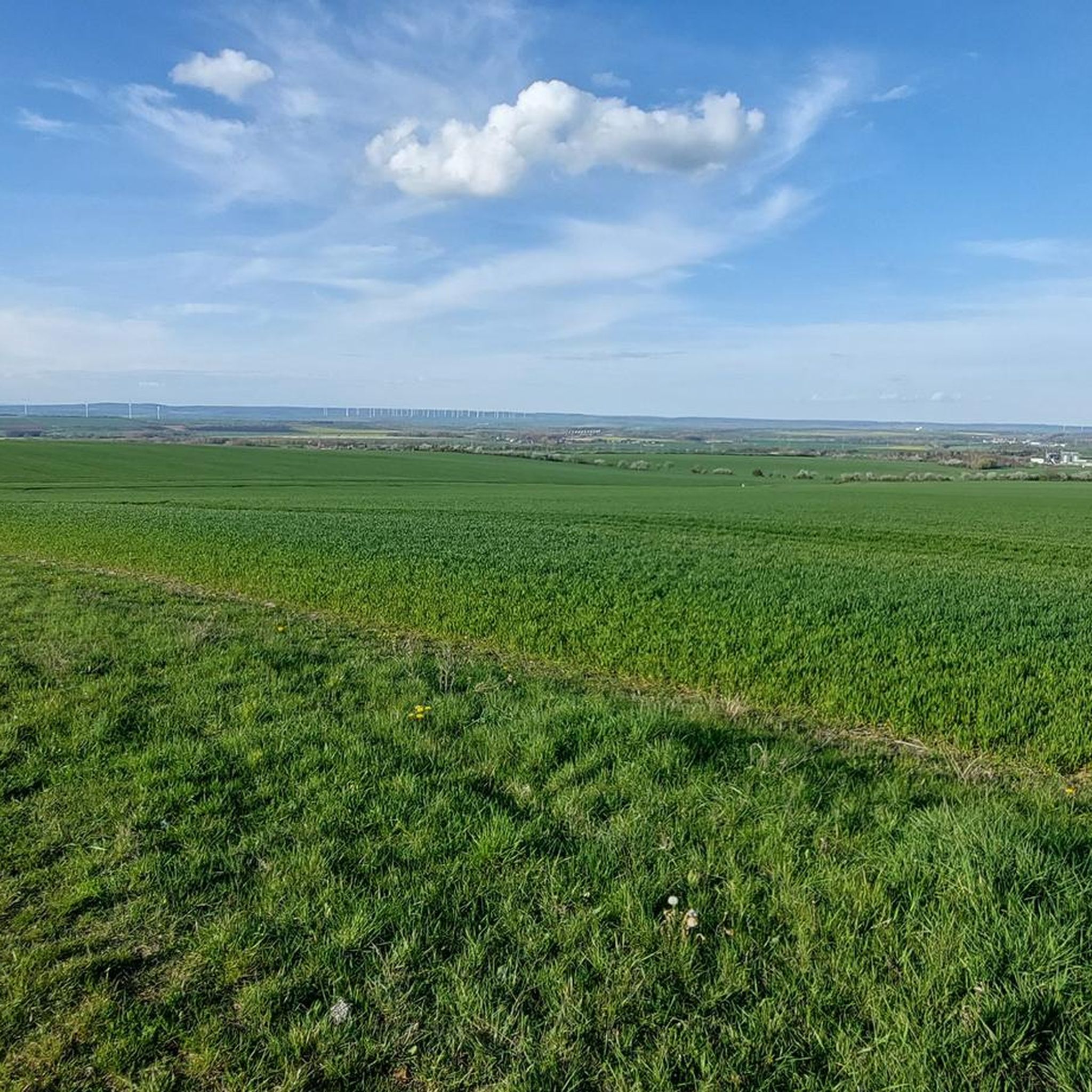
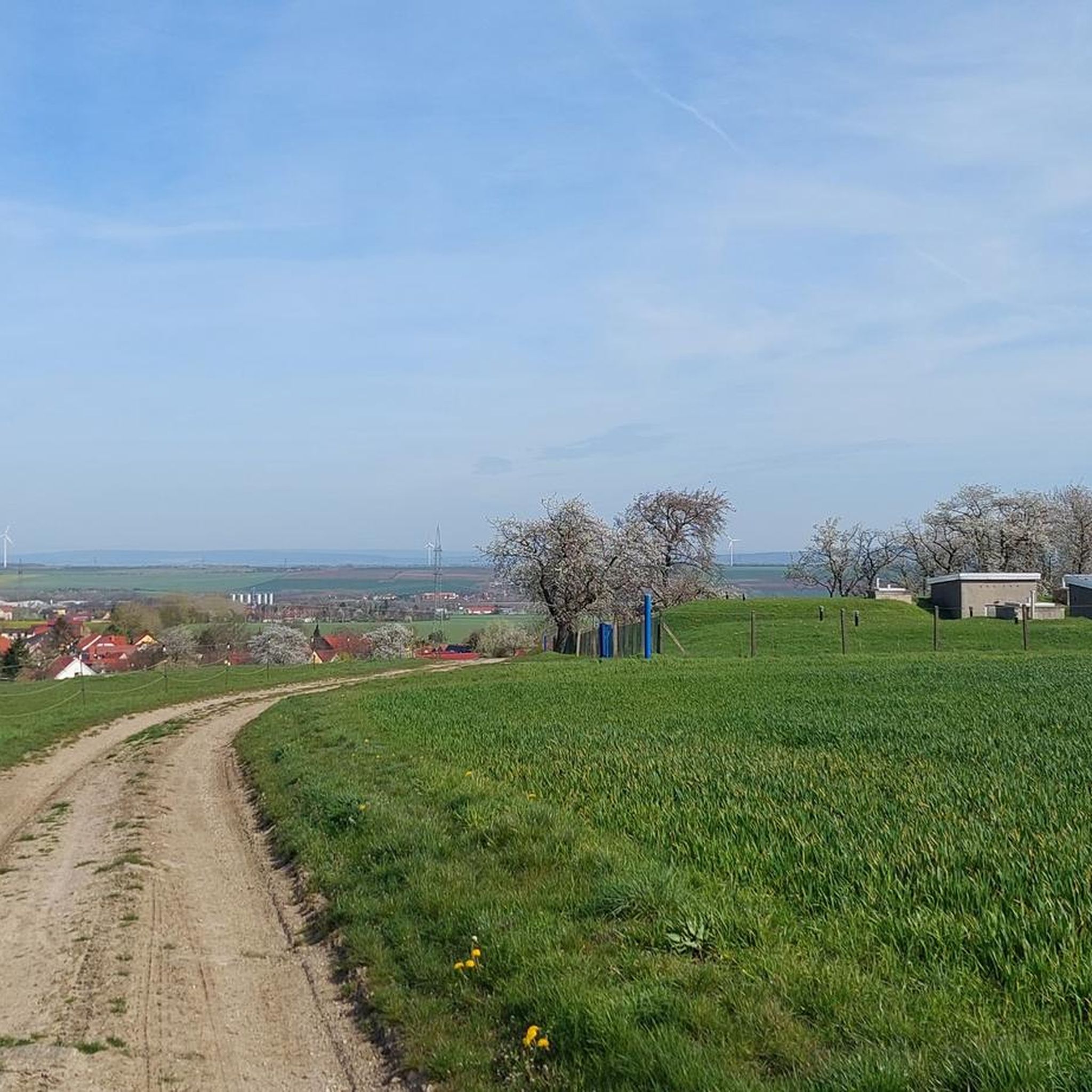
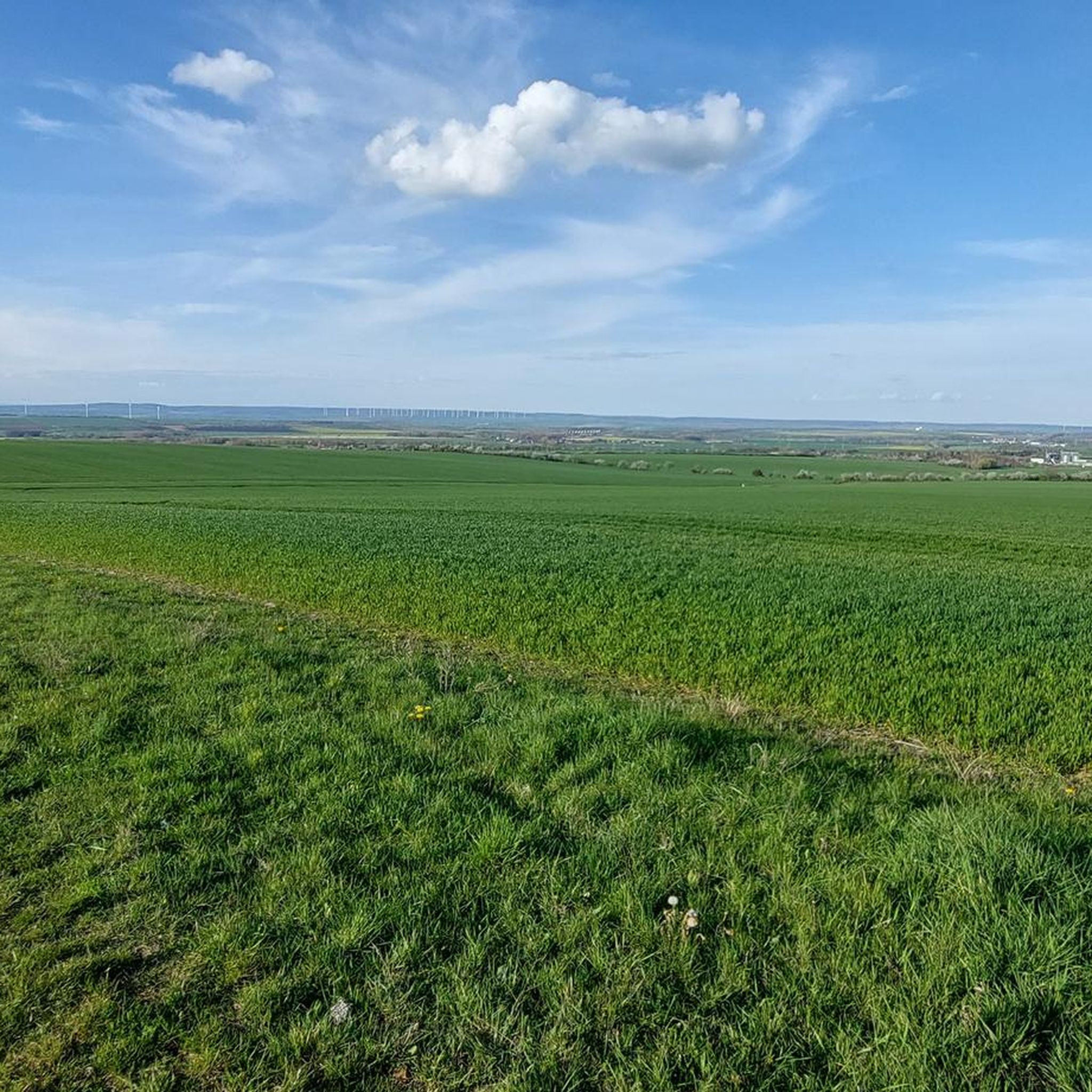
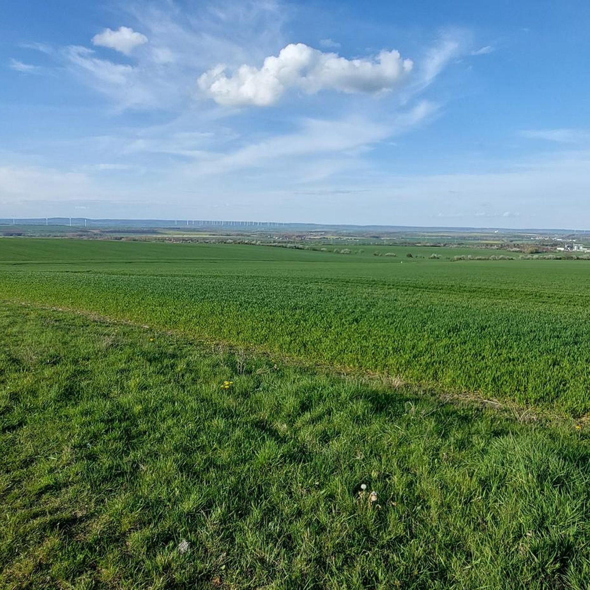
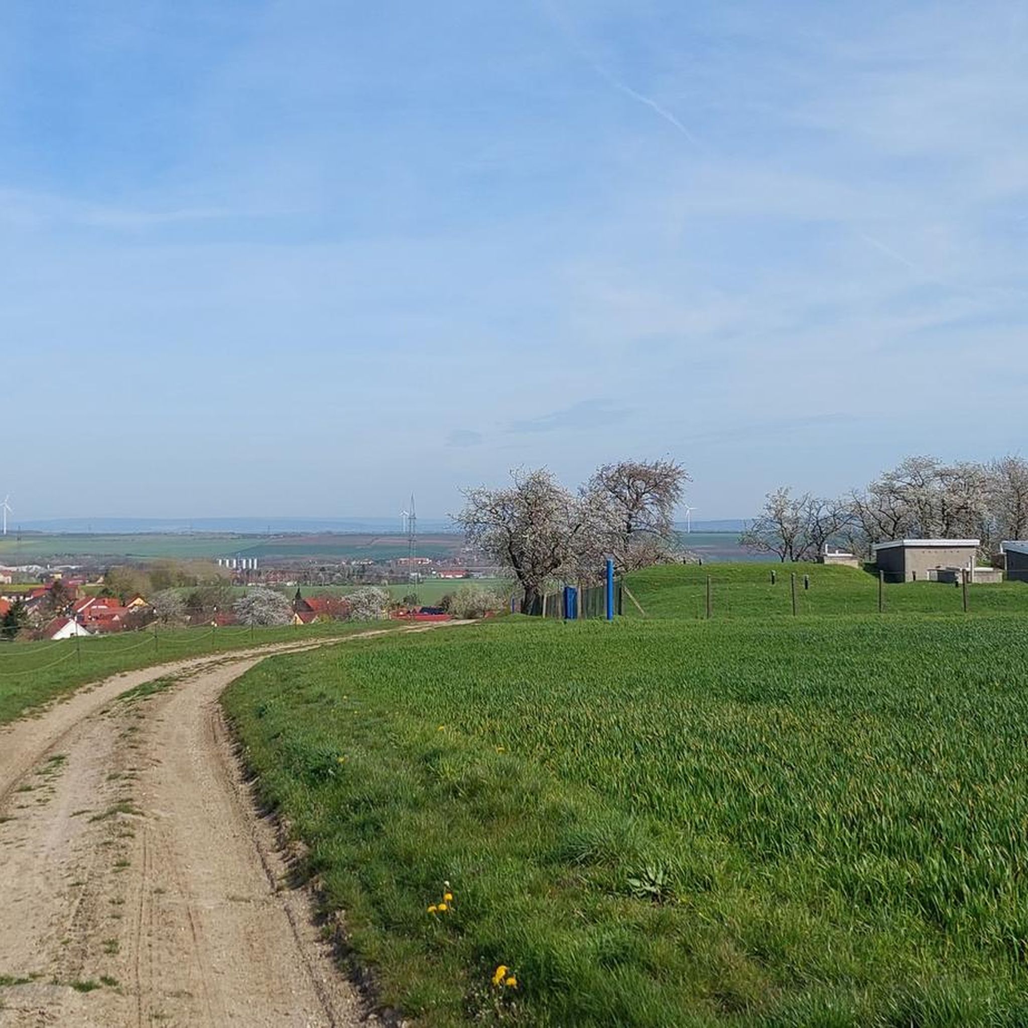
Gravel biking around Berlstedt offers diverse landscapes situated on the northern slope of the Großer Ettersberg, bordering the fertile Thuringian Basin. This region features a varied topography with a mix of inclines and more level routes, providing a range of challenges for gravel cyclists. The area is characterized by unpaved roads, farm tracks, and forest paths, including natural features like the source of the Scherkonde river. These conditions create an ideal environment for exploring the Thuringian countryside on gravel bikes.
…Last updated: October 6, 2026
5.0
(1)
19
riders
36.5km
02:19
490m
490m
Hard gravel ride. Very good fitness required. Mostly paved surfaces. Suitable for all skill levels.
4.7
(18)
70
riders
Hard gravel ride. Very good fitness required. Mostly paved surfaces. Suitable for all skill levels.

5.0
(7)
48
riders
59.2km
03:36
640m
640m
Hard gravel ride. Very good fitness required. Mostly paved surfaces. Suitable for all skill levels.
5.0
(4)
15
riders
53.5km
03:08
660m
660m
Hard gravel ride. Very good fitness required. You may need to push your bike for some segments of this route.
4.5
(2)
5
riders
32.7km
02:16
540m
540m
Hard gravel ride. Very good fitness required. Mostly paved surfaces. Suitable for all skill levels.
Get access to more routes and recommendations from other explorers.
Already have an account?
Our route recommendations are based on thousands of hikes, rides, and runs completed by other people on komoot.
Start today with a free account
Your next adventure awaits.
Tips from the Community

well-maintained cycle path, some tight corners
1
0


Great fire brigade in town.
0
0
Erfurt's old town is a real eye-catcher, consisting of many highlights.
0
0

Many apple and plum trees flank the cycle path here, but the cobblestone passage in Hopfgarten is not without
0
0
well-signposted and easy-to-ride route between the two cities, although there are a few meters of elevation to overcome
0
0

Easy-to-ride cycle path, partly gravel, otherwise good asphalt...
0
0

🏞️ Landscape & Location - Buchfart lies directly on the Ilm River, nestled in a narrow valley with steep, wooded limestone slopes. - The surrounding area is ideal for hikes, especially to the Balsamine, a viewpoint at an altitude of 340 meters. - The Ilm River winds its way through the valley here and offers a spectacular display of colors in autumn. --- 🕰️ History - First documented mention: 1348, by the knight Lutolf von Heitingsburg. - The place name is derived from "Furt" and "Buchenwald" – hence "Buchfart." - The area was already settled in the Neolithic period, as archaeological finds confirm. - The Buchfart Castle, a castle complex in the limestone cliff above the town, is shrouded in legend and was explored by the mineralogist Georgius Agricola as early as 1551. --- 🏛️ Sights - Historic Water Mill: The Pfeiffer Mill has been lovingly restored and now houses a meeting center for millers, a farm shop, and even a small village brewery. - Ilm Bridge: An old stone bridge connects the village districts and is a popular photo opportunity. - Village Church: Simple yet charming – a place of peace and history. --- 🧙♂️ Legends & Myths - The Buchfarter Caves are the setting for numerous legends – from ghosts guarding treasures to little men who lead bricklayers into underground passages. - The Schlossberg is also shrouded in legend and offers exciting stories for curious hikers.
0
0
Frequently Asked Questions
How many gravel bike trails are available around Berlstedt?
There are over 40 gravel biking routes around Berlstedt, offering a wide range of experiences. These include 4 easy routes, 16 moderate routes, and 22 difficult routes, catering to various skill levels.
What kind of terrain can I expect on gravel bike trails near Berlstedt?
The region around Berlstedt offers diverse terrain perfect for gravel biking. You'll find a mix of quiet asphalt roads, dedicated cycle paths, and extensive gravel and root-free forest trails. The landscape varies from the wooded heights and deep valleys of the Thuringian Forest Nature Park to the wide gravel roads of Hainich National Park and the scenic Ilm River valley.
Are there any beginner-friendly gravel routes in the Berlstedt area?
Yes, Berlstedt offers several routes suitable for beginners. While specific easy routes aren't highlighted in the top picks, the region has 4 designated easy gravel tours. These typically feature less elevation gain and smoother surfaces, making them ideal for those new to gravel biking or looking for a relaxed ride.
Can I find challenging gravel bike routes around Berlstedt?
Absolutely. For experienced gravel bikers seeking a challenge, there are 22 difficult routes available. A notable example is the Krippendorf Post Mill – Bockwindmühle Krippendorf loop from Nohra (Weimar), a 61.7 km trail with significant elevation changes that explores varied forest and open field landscapes.
What are some interesting landmarks or natural features I can see along the gravel bike trails?
Many gravel routes near Berlstedt pass by interesting natural and historical sites. You can explore areas like the Park Cave and the Nadelöhr in the Park on the Ilm, the historic Schloss Tiefurt, or the serene Hopfgarten Reservoir. The Park on the Ilm itself is a beautiful natural monument often featured in local routes.
Are there any circular gravel bike routes near Berlstedt?
Yes, many of the gravel routes around Berlstedt are designed as loops, allowing you to start and end at the same point. For instance, the Buchfart Watermill – Buchfart Rock Caves loop from Weimar is a moderate 35.4 km circular path that combines natural scenery with historical points of interest.
What do other gravel bikers say about the trails in Berlstedt?
The gravel biking experience around Berlstedt is highly regarded by the komoot community, with an average rating of 4.7 out of 5 stars from over 100 reviews. More than 600 gravel bikers have explored the area using komoot, often praising the varied terrain, extensive forest trails, and scenic views.
Are there any family-friendly gravel biking options in the area?
While specific family-friendly routes aren't detailed, the presence of 4 easy routes and sections of the Ilmtal Cycle Path suggest suitable options. The Ilm Park in Weimar, for example, offers a scenic and often shaded environment that can be enjoyed by families. The Duchess Anna Amalia Library – Ilm Park loop from Weimar is a moderate 25.6 km trail through this park, which could be adapted for families.
What is the best time of year to go gravel biking around Berlstedt?
The region is enjoyable for gravel biking across multiple seasons. Spring and autumn offer pleasant temperatures and beautiful foliage. Summer provides longer daylight hours, though some routes might be more shaded. The diverse terrain, including root-free forest trails, can also be suitable for winter rides, depending on snow and ice conditions.
Are there routes that offer good viewpoints or scenic overlooks?
Many routes in the Thuringian Forest Nature Park and areas with varied elevation changes will offer scenic viewpoints. While not explicitly named as a 'viewpoint route', the View of the Sternbrücke in Weimar – Park on the Ilm (Weimar) loop from Weimar is a difficult 37.05 km route that traverses varied landscapes, likely providing picturesque vistas.
Can I access gravel bike trails near Berlstedt using public transport?
Berlstedt is situated in Thuringia, a region with a strong cycling culture. While specific public transport connections to trailheads aren't detailed, the proximity to Weimar, a city with good transport links, suggests that many routes starting near Weimar, such as the Ilm Park – Park on the Ilm (Weimar) loop from Weimar, could be accessible via public transport connections to the city.
Are there places to park my car when starting a gravel bike ride?
Given the popularity of cycling in the region and the presence of numerous routes, it's generally possible to find parking near trailheads, especially in and around towns like Weimar or designated starting points for longer tours. Specific parking information for individual routes would be available on their respective komoot tour pages.
Most popular routes around Berlstedt
Most popular attractions around Berlstedt

Get inspired with the komoot mobile app


Explore more
Browse the best Gravel rides in other regions.
