The best gravel rides around Bermbach
4.1
(15)
154
riders
24
rides
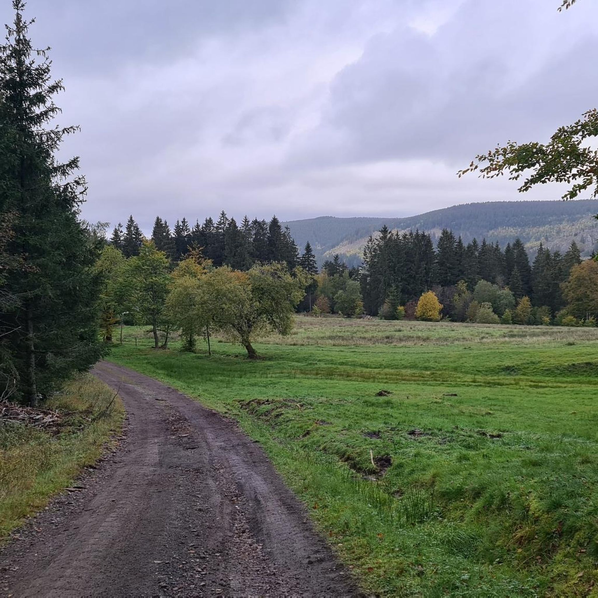
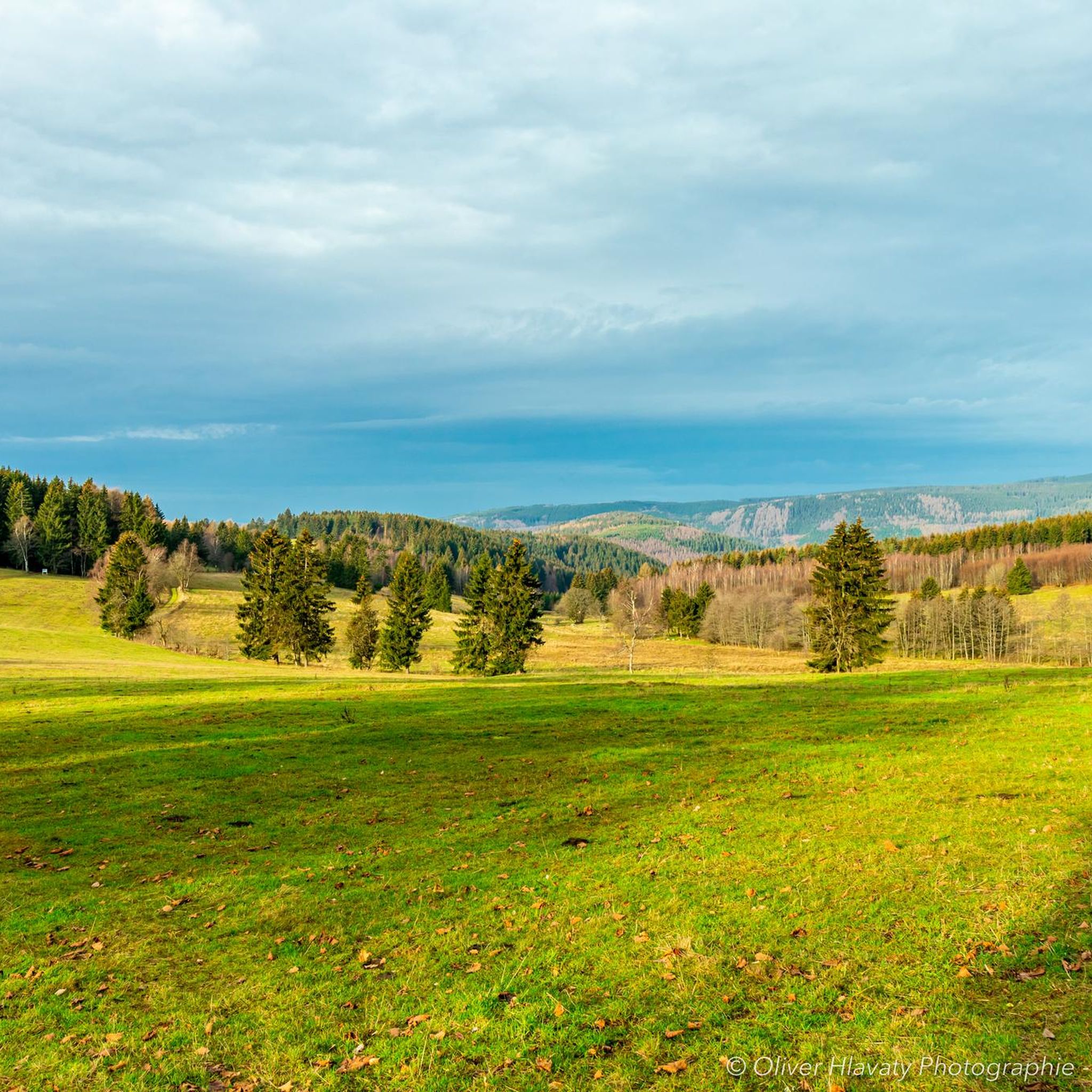
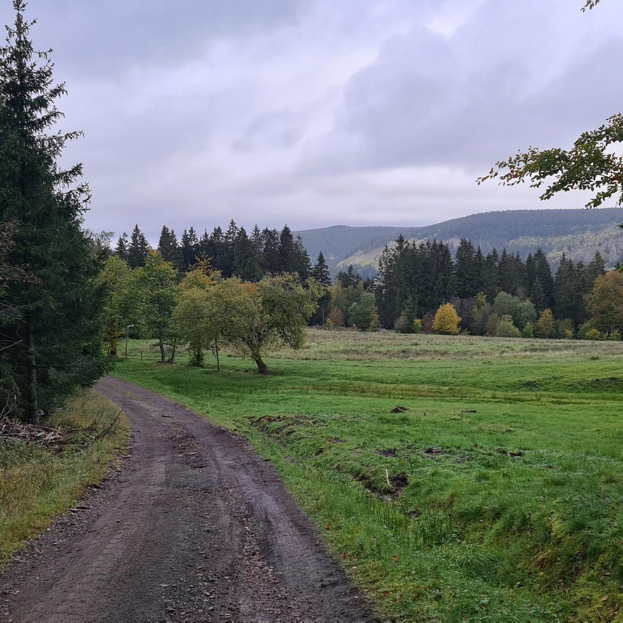
Gravel biking around Bermbach offers a network of routes through varied terrain, characterized by forested hills and open landscapes within the Thuringian Forest. The region features a mix of well-maintained gravel paths and more challenging unpaved sections. Cyclists can expect extensive spruce forests, flowering mountain meadows, and clear mountain brooks. Elevation changes are common, providing both steady climbs and descents, making it suitable for exploring the natural environment on a gravel bike.
Best gravel bike trails around Bermbach
- The most…
Last updated: July 2, 2026
3.0
(2)
23
riders
Moderate gravel ride. Good fitness required. Mostly paved surfaces. Suitable for all skill levels.
4.5
(2)
19
riders
35.9km
02:34
730m
730m
Hard gravel ride. Very good fitness required. Mostly paved surfaces. Suitable for all skill levels.

Sign up for free
4
riders
67.2km
04:44
1,070m
1,070m
Hard gravel ride. Very good fitness required. Mostly paved surfaces. Suitable for all skill levels.
4
riders
35.7km
02:28
660m
660m
Hard gravel ride. Very good fitness required. Mostly paved surfaces. Suitable for all skill levels.
10
riders
24.2km
01:29
310m
310m
Hard gravel ride. Good fitness required. You may need to push your bike for some segments of this route.
Get access to more routes and recommendations from other explorers.
Sign up for free
Already have an account?
Our route recommendations are based on thousands of hikes, rides, and runs completed by other people on komoot.
Start today with a free account
Your next adventure awaits.
Login or Signup

Tips from the Community

It's a great place for hiking.
0
0
It's a great place for hiking.
0
0

Comfortable pass ride with moderate gradients.
0
0
Comfortable pass ride, the gradient is kept well within limits.
0
0


Great view of the dam! The circular trail is highly recommended and easy to do by bike 👍
1
0


Interesting to experience the arena at a different time of year and to cycle parts of it 😂👍
1
0
Frequently Asked Questions
How many gravel bike trails are available in Bermbach?
Bermbach offers a diverse network of over 25 gravel bike trails. These routes traverse forested hills, reservoir paths, and open country, catering to various skill levels.
Are there beginner-friendly gravel bike trails around Bermbach?
While many routes are moderate to difficult, there are options suitable for those looking for a less strenuous ride. For example, the Oberhof Winter Sports Center – Oberhof loop from Oberhof is a moderate 10.9 km trail that offers a good introduction to the region's gravel paths.
What options are there for experienced gravel bikers in Bermbach?
Experienced gravel bikers will find plenty of challenging routes. The region features 22 difficult trails, such as the Highest Point of the Rennsteig – Plänckner's Viewpoint loop from Oberhof, a demanding 60.8 km path with significant elevation changes and expansive views.
Can I find circular gravel bike routes in Bermbach?
Yes, many of the gravel bike routes in Bermbach are designed as loops, allowing you to start and finish at the same point. A popular example is the Wachsenrasen Stone Shelter – Gustav-Freytag-Stein Shelter loop from Schützenbergmoor, a moderate 16.8 km trail through forest paths.
What kind of scenery can I expect on Bermbach's gravel trails?
The gravel trails around Bermbach are characterized by varied terrain, including dense forested hills, tranquil reservoir paths, and open landscapes. You'll encounter a mix of natural beauty and historical elements, with routes often passing by stone shelters and offering scenic vistas.
Are there any viewpoints along the gravel bike trails in Bermbach?
Yes, the region offers several stunning viewpoints. The Plänckner's viewpoint (Großer Beerberg) is a notable spot, providing expansive views, often accessible from longer, more challenging routes.
What are some interesting places to explore near the gravel bike trails?
Beyond the trails, you can explore various highlights. Consider visiting the Neue Gehlberger Hütte on Schneekopf for a break, or the serene Upper Sieglitz Pond. The area also features several dams and reservoirs, like the Schmalwasser Dam, which are often integrated into routes.
What is the best time of year for gravel biking in Bermbach?
The best time for gravel biking in Bermbach is typically from spring through autumn (April to October). During these months, the weather is generally mild, and the trails are in good condition, allowing for comfortable riding through the forests and open areas.
What are the conditions like for gravel biking in Bermbach during winter?
Winter conditions in Bermbach can be challenging for gravel biking. Snow and ice are common, especially at higher elevations and on less-maintained paths, making some trails impassable or requiring specialized equipment. It's advisable to check local weather and trail conditions before planning a winter ride.
Where can I find parking for gravel biking trails in Bermbach?
Parking is generally available at common trailheads and starting points for many routes around Bermbach, particularly near larger towns like Oberhof or designated recreational areas. Look for public parking lots or specific trail parking areas.
Is public transport available to access gravel trails in Bermbach?
Public transport options to access trailheads in Bermbach and the surrounding Thuringian Forest region are somewhat limited but exist. Buses connect some villages and towns, but direct access to all trail starting points might require planning or a short ride from a bus stop.
Are there cafes or places to stop for refreshments along the routes?
While many routes traverse natural, undeveloped areas, you can find opportunities for refreshments in the villages and towns near the trailheads, such as Oberhof. Some routes may also pass by huts or shelters, like the Shelter "Stein 16", where you might find basic amenities or a place to rest.
What do other gravel bikers say about the trails in Bermbach?
The gravel biking trails in Bermbach are highly rated by the komoot community, with an average score of 4.2 stars from over 20 reviews. Reviewers often praise the varied terrain, the beauty of the forested landscapes, and the well-maintained gravel paths that make for an enjoyable riding experience.
Are there any hidden gem gravel bike routes in Bermbach?
Beyond the most popular routes, consider exploring the Ohra Dam – Ohra Reservoir loop from Oberhof. This 35.9 km trail leads through beautiful forested areas and along the reservoir, offering a rewarding ride that might be less crowded than other well-known paths.
Most popular attractions around Bermbach

Get inspired with the komoot mobile app


Explore more
Browse the best Gravel rides in other regions.
