The best gravel rides around Altersbach
4.8
(10)
74
riders
23
rides
Gravel biking around Altersbach offers a diverse landscape characterized by rolling hills, dense forests, and scenic river valleys. The region, situated within the Thuringian Forest, provides varied terrain suitable for off-road cycling. Gravel bike trails near Altersbach often feature a mix of forest roads, compacted dirt paths, and some paved sections, navigating through the natural environment. This area is known for its elevation changes, providing both challenging climbs and rewarding descents for gravel bikers.
Best gravel bike trails around Altersbach
…Last updated: May 22, 2026
4.5
(2)
11
riders
45.6km
03:16
900m
900m
Hard gravel ride. Very good fitness required. Mostly paved surfaces. Suitable for all skill levels.
5.0
(2)
16
riders
Moderate gravel ride. Good fitness required. Mostly paved surfaces. Suitable for all skill levels.

Sign up for free
5.0
(4)
18
riders
Moderate gravel ride. Good fitness required. Mostly paved surfaces. Suitable for all skill levels.
5
riders
Hard gravel ride. Very good fitness required. Mostly paved surfaces. Suitable for all skill levels.
2
riders
Moderate gravel ride. Good fitness required. Mostly paved surfaces. Suitable for all skill levels.
Get access to more routes and recommendations from other explorers.
Sign up for free
Already have an account?
Our route recommendations are based on thousands of hikes, rides, and runs completed by other people on komoot.
Start today with a free account
Your next adventure awaits.
Login or Signup

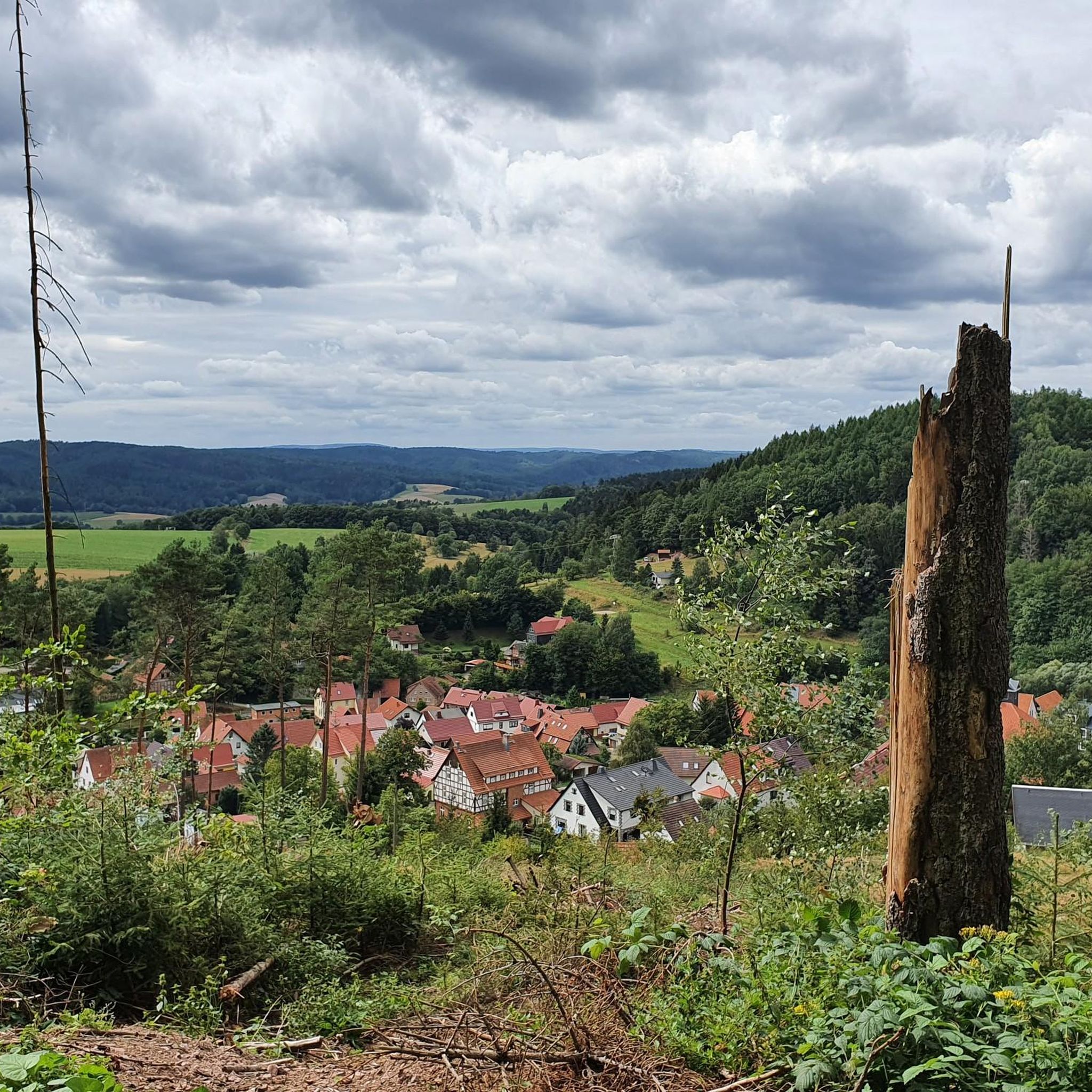
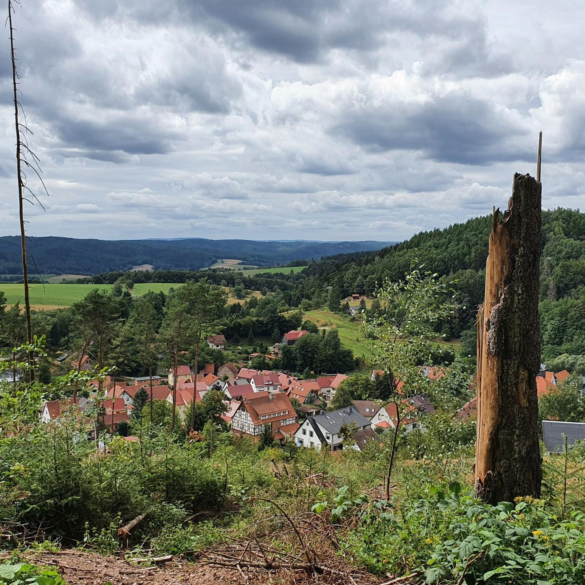
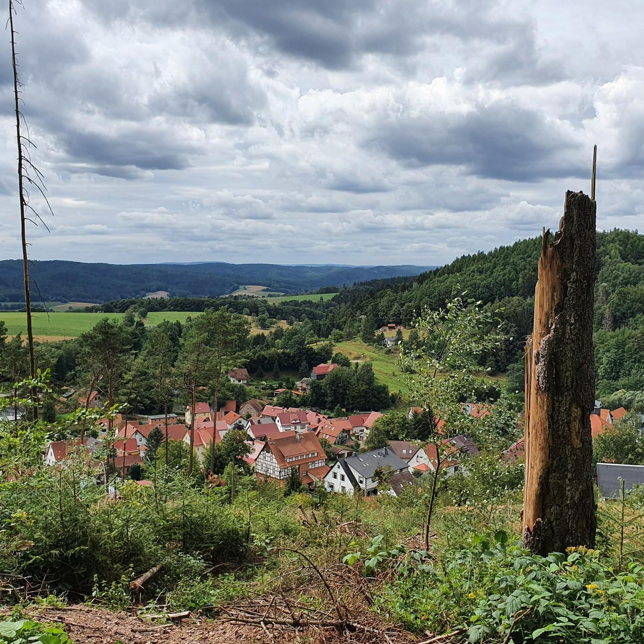
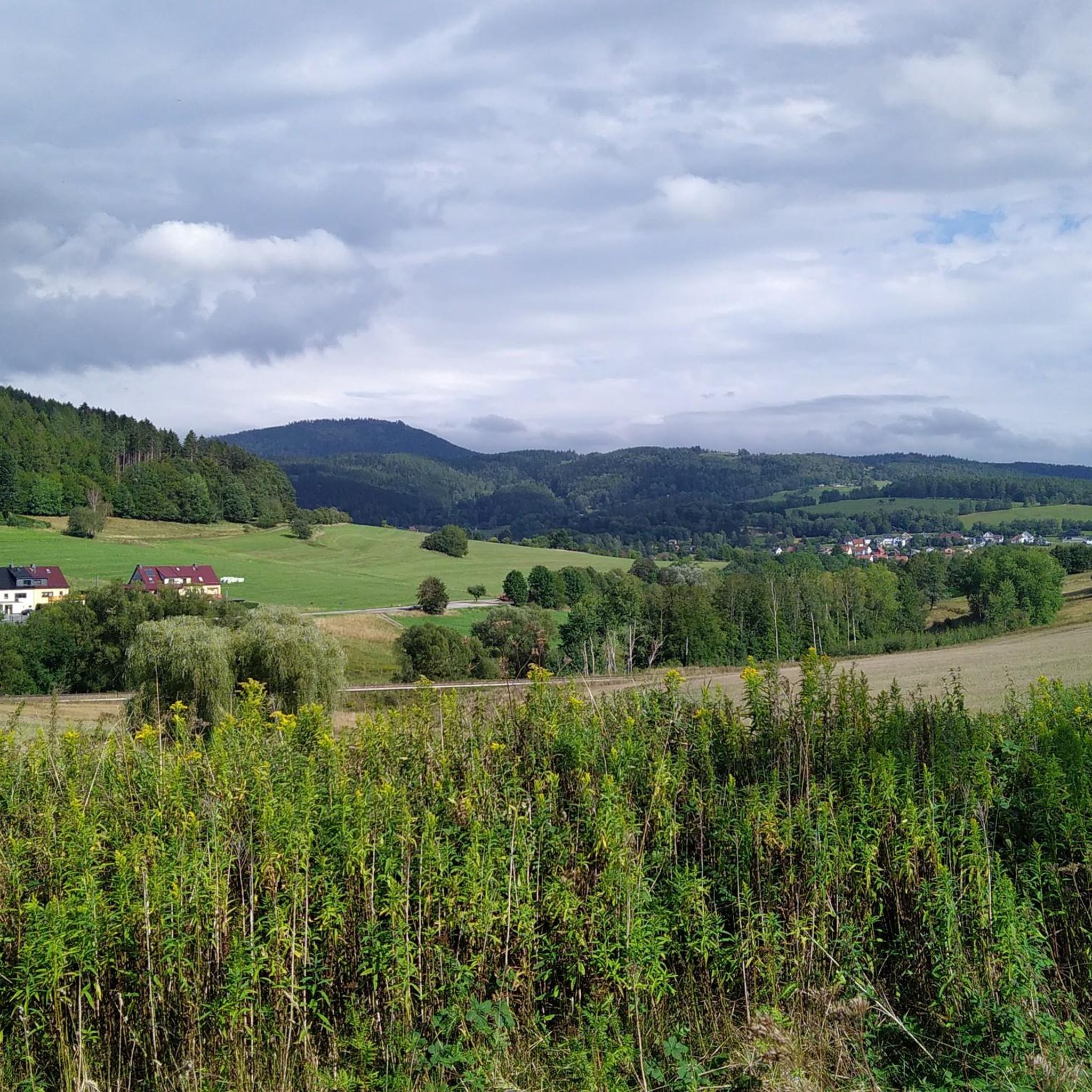
Tips from the Community

Very nice hotel and the food tasted good.
0
0

At the Hohleborn stop there is now a rest area with a view into the Schmalkalde valley, towards Floh-Seligenthal.
0
0
The title of this highlight is misleading; there is no tunnel at this location! Beautiful cycle path on an old railway line.
0
0
Currently, there is a good view from up here of the old railway viaduct over the Schmalkalde and the tunnel portal.
0
0

Great location for a day trip or a break with good food.
2
0
Beautiful shelter with a great view of the Inselsberg mountain.
2
0

The path at Auwallenburg station is currently under "reconstruction". New asphalt is already finished. Remaining work is still in progress. There is even an old freight wagon there now.
0
0

It's good that there are huts like this when a thunderstorm catches you by surprise.
0
0
Frequently Asked Questions
How many gravel bike trails are available around Altersbach?
There are over 25 gravel bike trails in the Altersbach region, offering a wide range of options for different skill levels. You'll find everything from moderate routes to more challenging rides with significant elevation changes.
Are there any easy gravel bike trails suitable for beginners in Altersbach?
While many routes in Altersbach feature elevation changes, there is at least one designated easy gravel bike trail. The region generally offers a mix of forest roads and compacted dirt paths, with some paved sections, making it accessible for those new to gravel biking who are comfortable with some varied terrain.
What kind of terrain can I expect on gravel bike routes in Altersbach?
Gravel bike routes around Altersbach are characterized by rolling hills, dense forests, and scenic river valleys within the Thuringian Forest. You'll encounter a mix of forest roads, compacted dirt paths, and some paved sections, often with notable elevation changes that provide both challenging climbs and rewarding descents.
Are there any circular gravel bike routes in the Altersbach area?
Yes, many gravel bike routes in Altersbach are designed as loops. For example, the challenging Hundsrück Tunnel – Hundsrücktunnel loop from Mittelstille and the moderate Wallbach Valley – Werratal Cycle Path loop from Schmalkalden-Fachhochschule are popular circular options.
What are some notable natural attractions or landmarks to see along the gravel bike trails?
The Altersbach region is rich in natural beauty. Along your rides, you might encounter highlights such as the Ebertswiese Mountain Meadow, the tranquil Ebertswiese Mountain Lake, or the picturesque Spitterfall waterfall. The Violet fountain is another charming natural monument in the area.
Are there any routes that pass by lakes or reservoirs?
Yes, some routes will take you near water features. For instance, the Breitungen Lakes – Werra Bridge Breitungen loop from Schmalkalden-Fachhochschule offers views of the Breitungen Lakes. You might also pass by the Tambach-Dietharz Reservoir Inflow on other trails.
What do other gravel bikers say about the trails in Altersbach?
The komoot community highly rates the gravel biking experience in Altersbach, with an average score of 4.7 stars from over 20 reviews. Riders often praise the diverse terrain, the beauty of the dense woodlands, and the rewarding climbs and descents found throughout the region.
Are there any challenging gravel bike routes for experienced riders?
Absolutely. Altersbach offers 17 difficult gravel bike routes for experienced riders seeking a challenge. The Breitungen Lakes – Werra Bridge Breitungen loop from Schmalkalden-Fachhochschule, for example, is a demanding 52.6 km route with nearly 700 meters of elevation gain.
What is the best time of year for gravel biking in Altersbach?
The Thuringian Forest, where Altersbach is located, is beautiful throughout the warmer months. Spring and autumn offer pleasant temperatures and vibrant scenery, while summer provides longer daylight hours. Be prepared for varied conditions depending on the season, as the region's elevation can influence local weather.
Are there any routes that include a hut or a place to stop for a break?
Yes, some routes may pass by or near huts. The Albert Schweitzer Hut – Hundsrücktunnel loop from Schmalkalden-Fachhochschule is an example of a route that includes a hut, providing a potential stopping point. You might also find the Thuringian Hut along other trails.
How accessible are the gravel bike trails in Altersbach by public transport?
While specific public transport connections to trailheads can vary, many routes start from towns like Schmalkalden-Fachhochschule, which may have better public transport links. It's advisable to check local bus or train schedules to plan your access to the starting points of the gravel bike trails.
Most popular routes around Altersbach
Most popular attractions around Altersbach

Get inspired with the komoot mobile app


Explore more
Browse the best Gravel rides in other regions.
