The best gravel rides around Molschleben
4.6
(23)
133
riders
17
rides
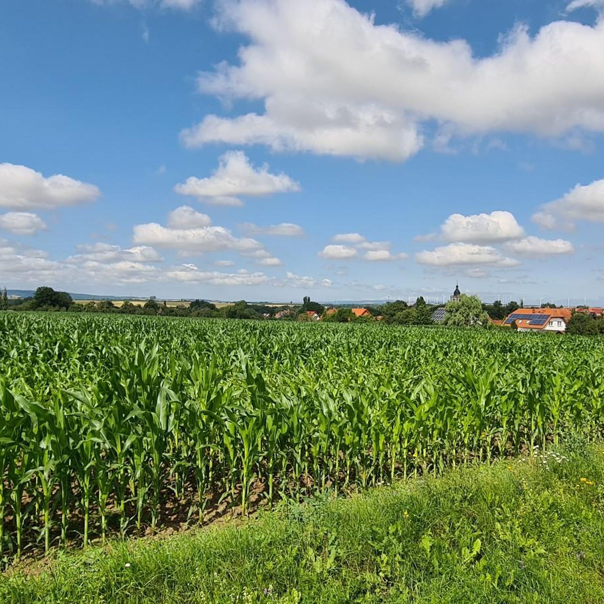
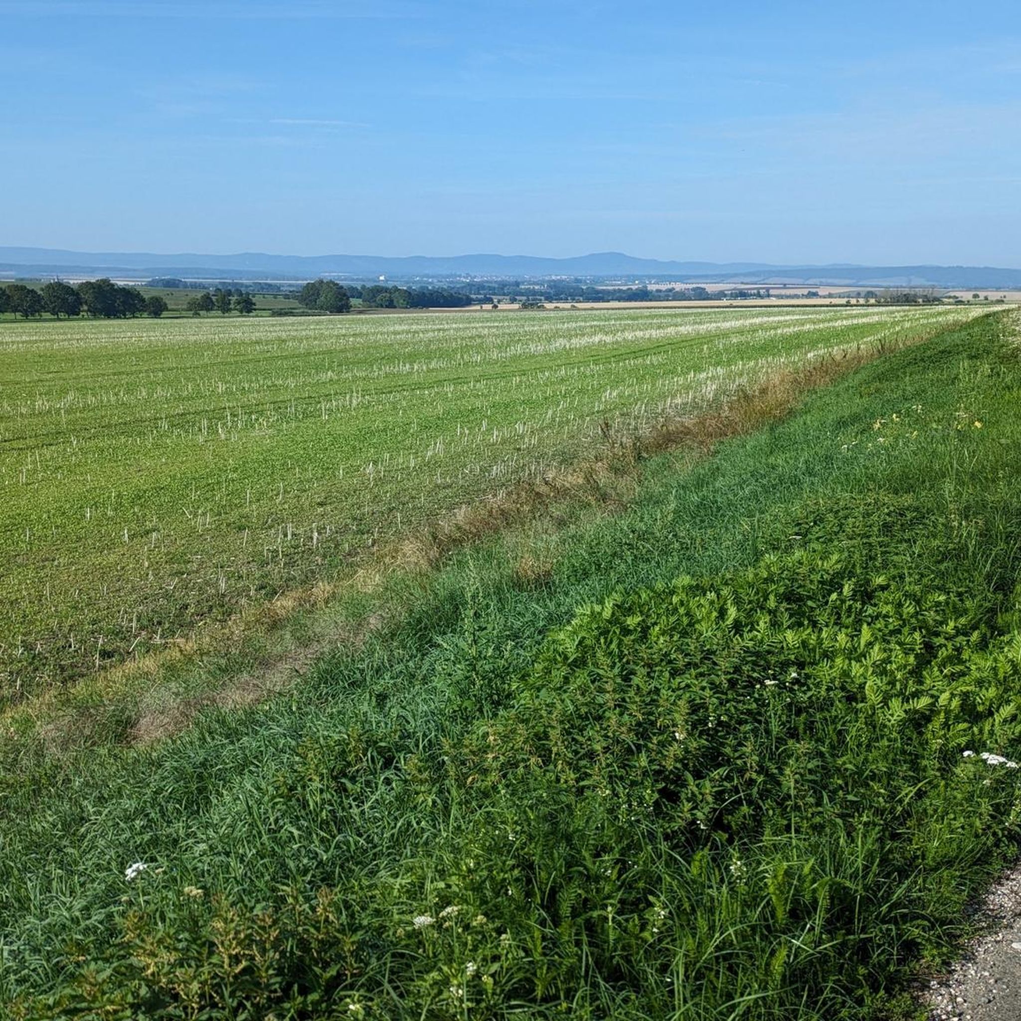
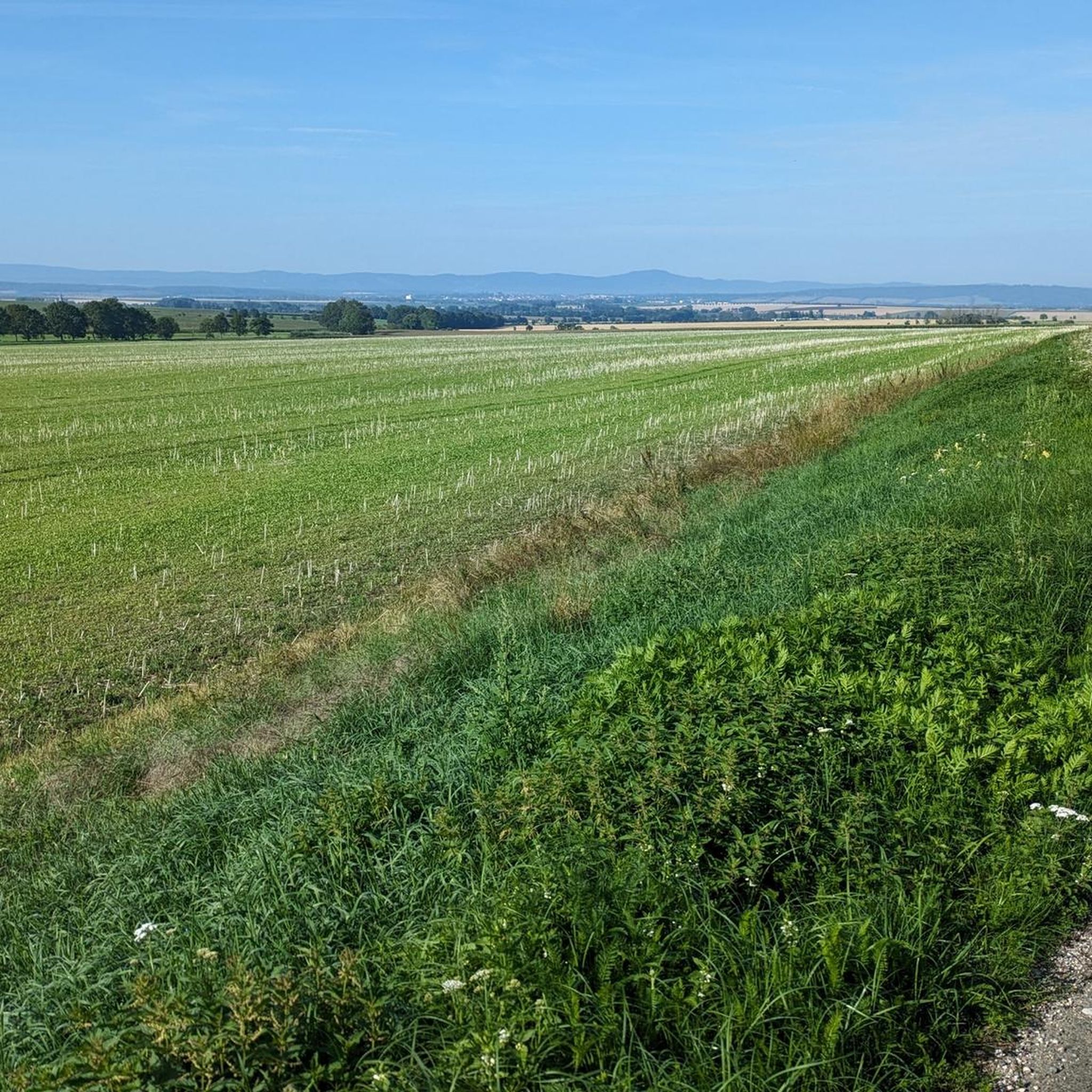
Gravel biking around Molschleben offers routes through a landscape characterized by rolling hills, green meadows, and dense forests. The region, situated near the Thuringian Forest, features varied terrain suitable for gravel cyclists. Riders can expect a mix of ascents and descents across unpaved paths and forest tracks, with the geology of the Fahner Höhe contributing to diverse riding surfaces.
Best gravel bike trails around Molschleben
- The most popular gravel bike trail is View of Veste Wachsenburg – View of Jonastal…
Last updated: July 2, 2026
4.6
(7)
52
riders
64.8km
03:35
590m
590m
Hard gravel ride. Very good fitness required. Mostly paved surfaces. Suitable for all skill levels.
5.0
(3)
17
riders
39.2km
02:10
350m
350m
Moderate gravel ride. Good fitness required. Mostly paved surfaces. Suitable for all skill levels.

Sign up for free
5.0
(6)
26
riders
48.8km
02:49
270m
270m
Hard gravel ride. Good fitness required. You may need to push your bike for some segments of this route.
3.0
(1)
5
riders
37.9km
02:25
430m
430m
Moderate gravel ride. Good fitness required. Mostly paved surfaces. Suitable for all skill levels.
5.0
(2)
8
riders
Moderate gravel ride. Good fitness required. Mostly paved surfaces. Suitable for all skill levels.
Get access to more routes and recommendations from other explorers.
Sign up for free
Already have an account?
Our route recommendations are based on thousands of hikes, rides, and runs completed by other people on komoot.
Start today with a free account
Your next adventure awaits.
Login or Signup
Tips from the Community

Here is information from the Gotha Tourist Office: https://www.tourismus-thueringer-wald.de/sichtweisen-2/buergerturm-gotha
0
0


Secret tip for the 🐻🌱 time, mega. Nice hut, rightly there is a stamp here.
8
0
Refreshing is the spring on hot days.
8
0

When the fruit trees bloom .......
1
0
A beautiful viewpoint with a good view in the distance.
10
0

The Nesseltal Cycle Path runs, among other things, along a former railway line between Eisenach and Nessetal, then continues towards Erfurt, offering a particularly pleasant and well-developed route. Largely paved, with gentle inclines and plenty of natural surroundings, it's perfect for leisurely cyclists, families, and touring cyclists. Along the way, there are numerous beautiful views and small villages that invite you to take a break.
2
0

It is worth visiting the castle
1
0
Frequently Asked Questions
How many gravel bike trails are available around Molschleben?
There are over 30 gravel bike trails around Molschleben, offering a diverse range of experiences. These include 2 easy routes, 15 moderate routes, and 13 difficult routes, catering to various skill levels.
What kind of terrain can I expect on gravel bike trails near Molschleben?
The terrain around Molschleben is characterized by rolling hills, green meadows, and dense forests. You'll encounter a mix of unpaved paths, forest tracks, and some segments of established cycle paths like the Nessetal Cycle Path. The region's geology, including the Muschelkalk ridge of Fahner Höhe, contributes to varied riding surfaces and scenic viewpoints.
Are there any family-friendly gravel bike routes in the Molschleben area?
While many routes offer varied terrain, some of the easier sections of the broader cycling network, like parts of the Nessetal Cycle Path, might be suitable for families. For a specific moderate option, consider the Gierstädt Observation Tower – Lohmühle Watermill loop from Gierstädt, which is 39.2 km long and leads through forested areas.
What are some scenic viewpoints or natural features to look out for on the trails?
The region offers several scenic spots. The Fahner Höhe ridge provides excellent views of the Thuringian Basin, Hainich National Park, and the Thuringian Forest. You can also find viewpoints like Seeberg View Towards Gotha and Siebleben and the View from Geiersberg. The Unstrut Valley Nature Reserve and Friemar Reservoir also offer picturesque natural settings.
What do other gravel bikers enjoy most about Molschleben?
The gravel biking routes around Molschleben are highly rated by the komoot community, with an average score of 4.6 stars from over 40 reviews. Riders often praise the diverse landscapes, from rolling hills to dense woodlands, and the variety of routes that connect to the broader Thuringian Forest region, offering options for all ability levels.
Are there any challenging gravel bike routes for experienced riders?
Yes, Molschleben offers several challenging routes. For experienced riders seeking significant elevation gain and expansive views, the View of Veste Wachsenburg – View of Jonastal loop from Gotha is a difficult 64.8 km path. Another demanding option is the View of Mühlburg – Mühlburg loop from Gotha, which is 75.6 km long.
Can I find circular gravel bike routes in the Molschleben area?
Many of the gravel bike routes around Molschleben are designed as loops. For example, the Unstrut Cycle Path – Gera Cycle Path loop from Zimmernsupra offers a moderate 63.3 km circular ride through varied landscapes.
What is the best time of year for gravel biking in Molschleben?
The region's rolling hills and forests are beautiful throughout the warmer months. Spring offers lush greenery, while autumn provides vibrant foliage. While specific weather conditions vary, generally late spring to early autumn (April to October) provides the most favorable conditions for gravel biking.
Are there any cultural or historical attractions near the gravel bike trails?
Yes, you can combine your ride with cultural exploration. Molschleben itself has a historic town centre. Nearby, you can visit attractions like Friedenstein Castle in Gotha and the Ducal Museum. The Gotha Orangery is also a notable man-made monument in the vicinity.
Is there public transport available to reach the gravel biking areas around Molschleben?
Molschleben is a village near Gotha, which is a regional hub. While direct public transport to specific trailheads might be limited, you can typically reach Gotha by train or bus, and then cycle to Molschleben or starting points of routes from there. It's advisable to check local bus schedules for connections to smaller villages.
Where can I find parking for my car when gravel biking in Molschleben?
Parking is generally available in Molschleben village or in nearby towns like Gotha, which serve as common starting points for many routes. Specific parking information for individual trailheads may vary, so it's recommended to check details for your chosen route on komoot or local signage upon arrival.
Are there any long-distance gravel bike routes in the Molschleben area?
Yes, some routes offer significant distances. For example, the View of Mühlburg – Mühlburg loop from Gotha is a challenging 75.6 km route, providing a substantial ride through the region's diverse landscapes.
Most popular routes around Molschleben
Most popular attractions around Molschleben

Get inspired with the komoot mobile app


Explore more
Browse the best Gravel rides in other regions.
