The best gravel rides around Geislingen an der Steige
4.5
(76)
457
riders
65
rides
Gravel biking around Geislingen an der Steige offers diverse terrain within the Swabian Alb region, characterized by hilly landscapes, multiple valleys, and the prominent Alb escarpment. The area features varied elevations, from the Fils and Brenz river valleys to the Alb foothills, providing both challenging ascents and scenic descents. Cyclists can explore striking rock formations and natural features, making it suitable for a range of gravel biking experiences.
Best gravel bike trails around Geislingen an der Steige
- The most popular…
Last updated: July 2, 2026
4.9
(29)
170
riders
60.5km
04:14
520m
520m
Hard gravel ride. Very good fitness required. Mostly paved surfaces. Suitable for all skill levels.
5.0
(4)
17
riders
89.4km
07:10
850m
850m
Hard gravel ride. Very good fitness required. You may need to push your bike for some segments of this route.

Sign up for free
4.0
(1)
18
riders
51.8km
03:50
670m
660m
Hard gravel ride. Very good fitness required. You may need to push your bike for some segments of this route.
4.0
(4)
7
riders
106km
07:35
1,120m
1,120m
Hard gravel ride. Very good fitness required. Mostly paved surfaces. Suitable for all skill levels.
4.7
(3)
7
riders
73.2km
05:17
860m
860m
Hard gravel ride. Very good fitness required. You may need to push your bike for some segments of this route.
Get access to more routes and recommendations from other explorers.
Sign up for free
Already have an account?
Our route recommendations are based on thousands of hikes, rides, and runs completed by other people on komoot.
Start today with a free account
Your next adventure awaits.
Login or Signup
Popular around Geislingen an der Steige
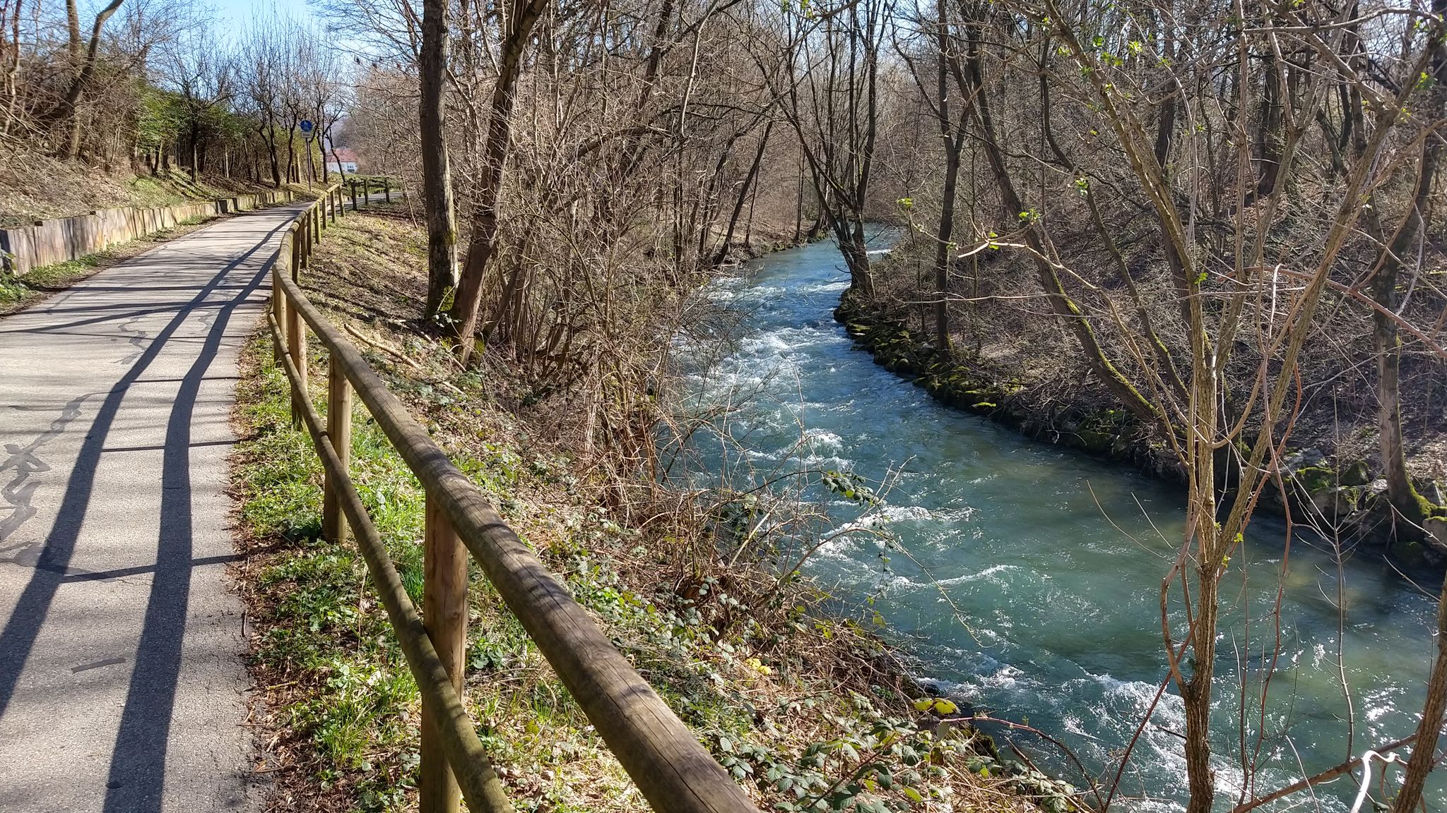
Germany's Filstal route – River cycling at its best
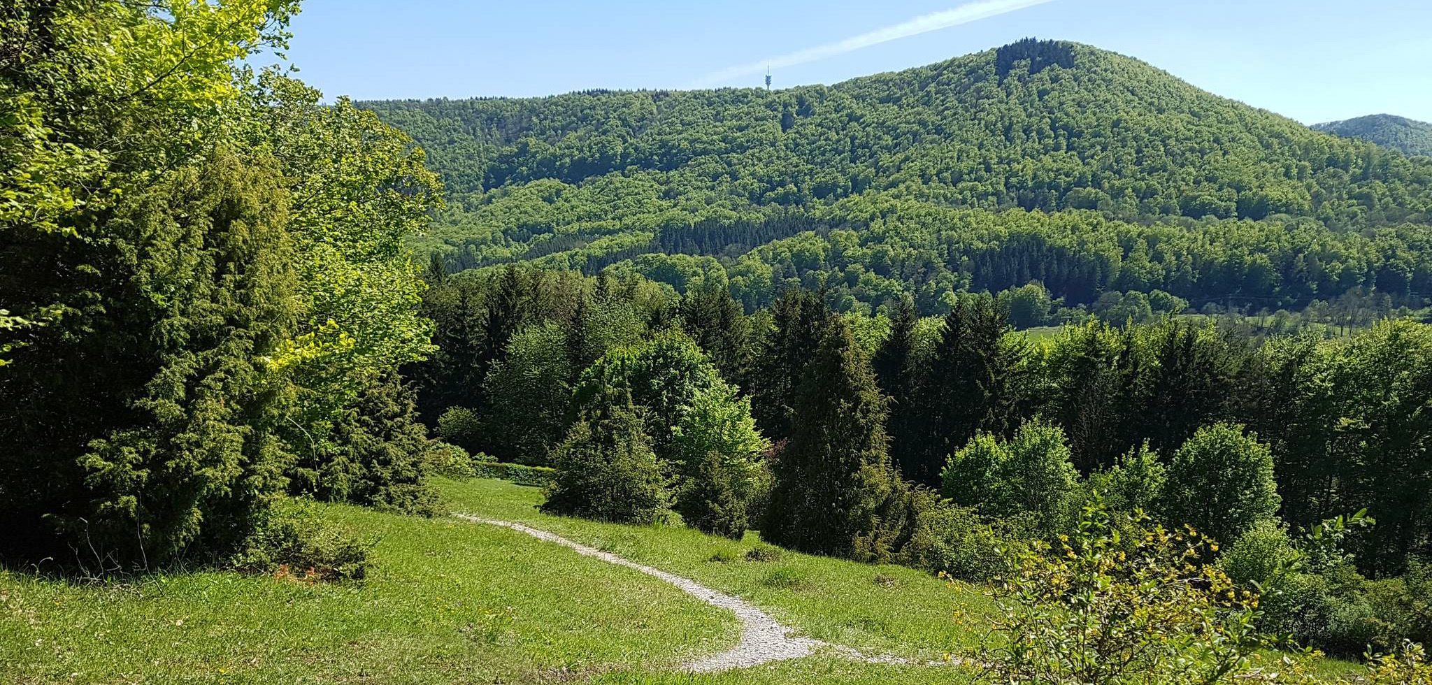
Spätzle Cross — 7 days on the Swabian Alb
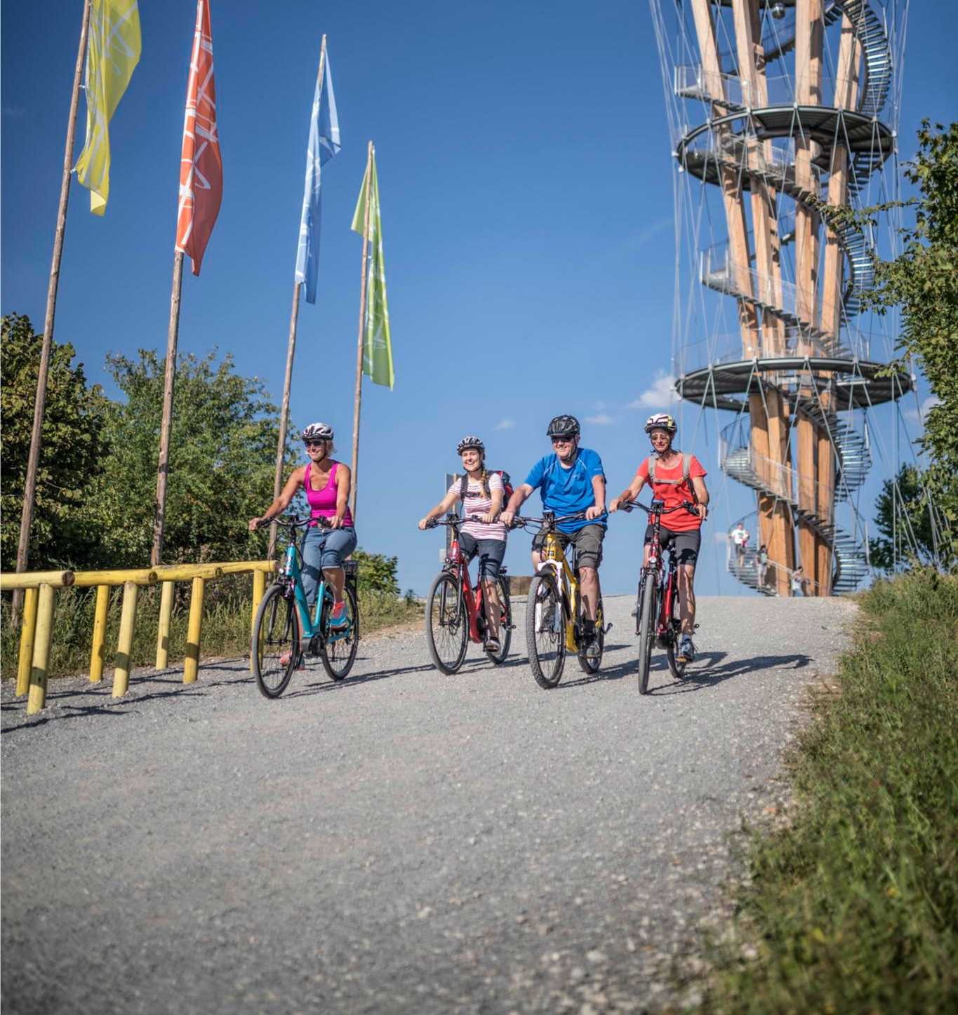
Discover Stuttgart's surroundings – main route of the Stuttgart E-Bike region
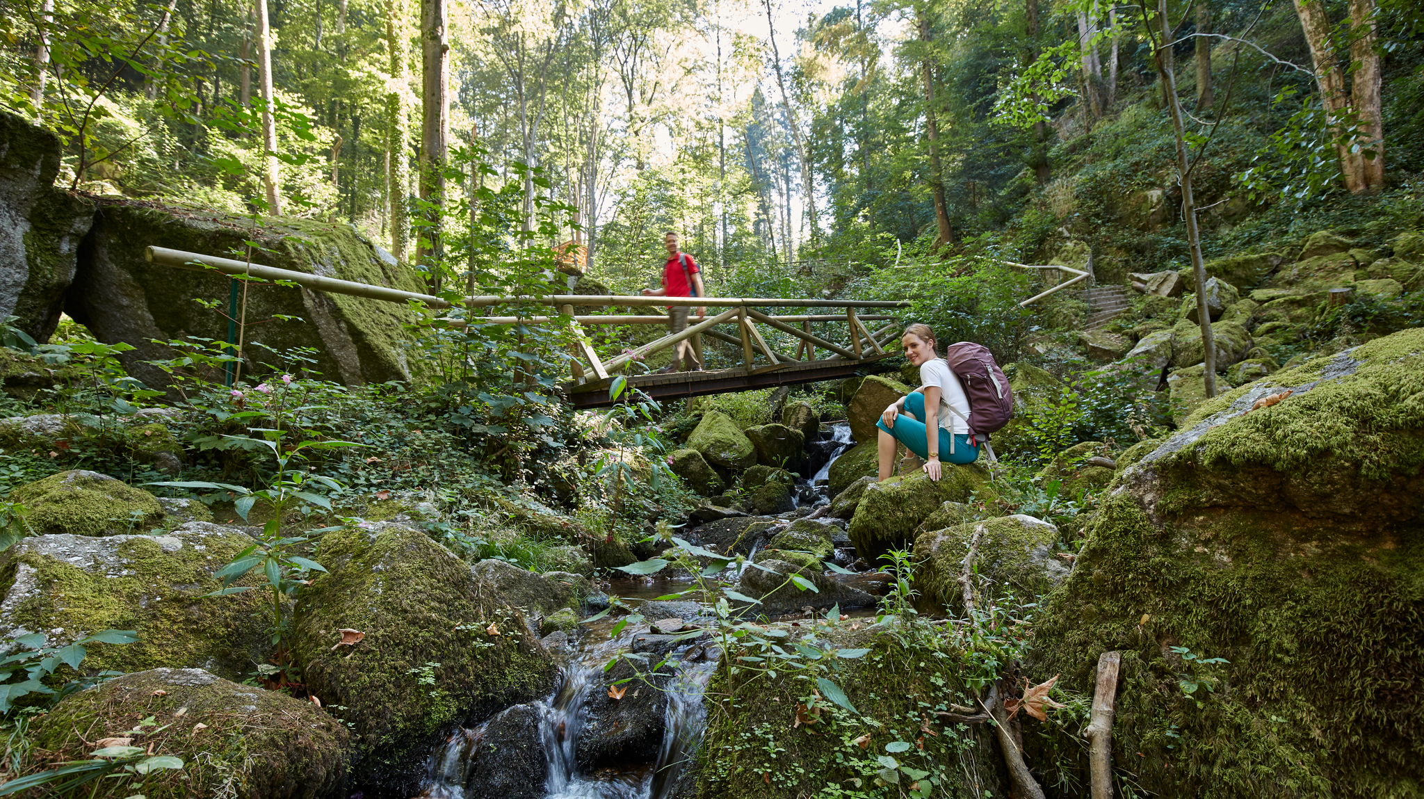
Waterfalls, gorges and cliffs – cooling off in Baden-Württemberg
Up, down, Albwards! MTB adventures on the Schwäbische Alb
MTB flow in BW! Trails from the Schwarzwald to the Odenwald
Experience nature by bike in the Swabian Jura
Hike Germany’s Swabian Alb – by bus and train
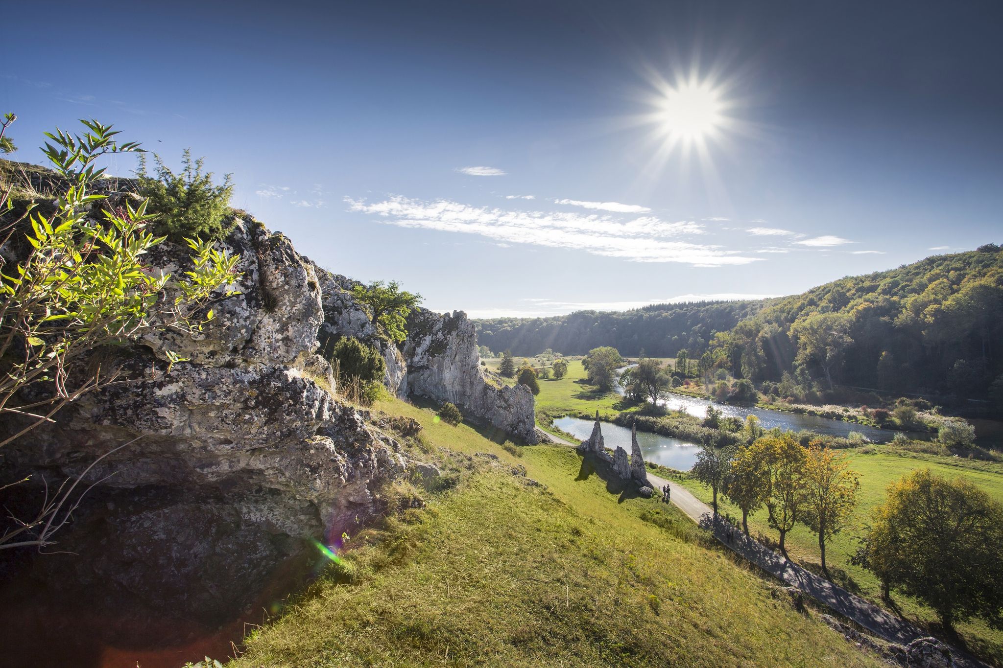
Albtäler Cycle Tour — discover the beautiful valleys of the Swabian Jura
Winter wonderland — hiking in Germany’s Baden-Württemberg
Other adventures around Geislingen an der Steige


Tips from the Community

great trail off in nature
0
0

Cycle path in the Kleine Lautertal valley with panoramic views
0
0

Great cycle path through the Lauter valley
1
0
Beautiful cycle path through the Lauter valley
1
0

A tour through the large Lautertal is beautiful.
1
0

Beautiful valley, cycling on lonely paths
2
0

Great route to ride, a little up and down, but overall very scenic.
7
0

I particularly liked the part of the Lonetal cycle path from Westerstetten
0
0
Frequently Asked Questions
How many gravel bike trails are there around Geislingen an der Steige?
There are nearly 130 gravel bike trails available around Geislingen an der Steige. This includes a diverse range of routes: 2 easy, 47 moderate, and 79 difficult trails, catering to various skill levels and preferences.
What kind of terrain can I expect on gravel bike trails in Geislingen an der Steige?
The region offers a varied terrain, characterized by hilly landscapes, multiple valleys, and the prominent Alb escarpment. You'll encounter both challenging ascents and scenic descents, with routes winding through river valleys, forests, and open sections. The diverse geology of the Swabian Alb ensures an engaging ride.
Are there any trails suitable for beginners or those looking for an easier ride?
Yes, while many routes offer significant climbs, there are options for less experienced riders. For example, the area features 2 easy and 47 moderate trails. A good moderate option is the View of the Hausener Wand – Hausener Rock Face loop from Geislingen West, which is 22 km long and offers a mix of forest paths and open sections.
What are some notable natural features or viewpoints I can see on a gravel bike ride?
The region is rich in natural beauty. You can explore striking rock formations and enjoy panoramic views from spots like the Hausener Rock Face or the Haarberg summit cross. The Amazonen Rock and View from Messelberg also offer spectacular vistas. Don't miss the picturesque Autal Waterfall or the dramatic Felsental Gorge.
Are there any waterfalls accessible by gravel bike?
Yes, the area features various waterfalls. A notable one is the Autal Waterfall, which is part of the natural monuments around Geislingen an der Steige and can be explored on dedicated trails.
Can I find circular gravel bike routes in the area?
Absolutely. Many of the gravel routes around Geislingen an der Steige are designed as loops. For instance, the Mordloch Cave – Old Railway Line to Grünbach loop from Geislingen West is a moderate 32.5 km circular route, and the Hausener Rock Face – View of the Hausener Wand loop from Geislingen West offers a 28.1 km loop through hilly terrain.
What do other gravel bikers say about the trails in Geislingen an der Steige?
The gravel biking routes in Geislingen an der Steige are highly rated by the komoot community, with an average score of 4.6 stars from nearly 100 reviews. Over 700 gravel bikers have explored the varied terrain using komoot, often praising the diverse landscapes and engaging challenges the region offers.
Are there any historical sites or other attractions to visit along the trails?
Beyond natural beauty, you can explore historical sites like the Helfenstein Ruins, perched high above Geislingen, offering expansive views and a glimpse into medieval history. The Franz-Keller Hut is also a popular spot for a break.
What is the best time of year for gravel biking in Geislingen an der Steige?
The diverse terrain of Geislingen an der Steige makes it suitable for gravel biking across multiple seasons. While specific conditions vary, spring and autumn generally offer pleasant temperatures and vibrant scenery. Even winter can be an option for dedicated riders, as highlighted by routes like the Graveltour Bad Überkingen – Winter.Gravel.Sweat.
Are there any long-distance or more challenging gravel routes?
Yes, for those seeking a significant challenge, there are several difficult routes. The Graveltour Bad Überkingen – Winter.Gravel.Sweat is a demanding 73.2 km trail with over 850 meters of elevation gain. Another extensive option is the Fohlenhaus Caves – Bridge over the Brenz loop from Amstetten (Württemberg), which spans over 102 km with similar elevation changes.
Where can I find parking for gravel biking routes in Geislingen an der Steige?
Many routes around Geislingen an der Steige, particularly those starting from areas like Geislingen West, offer convenient access points. Specific parking information is usually detailed on individual route pages on komoot, allowing you to plan your start point effectively.
Most popular routes around Geislingen an der Steige
Most popular attractions around Geislingen an der Steige

Get inspired with the komoot mobile app


Explore more
Browse the best Gravel rides in other regions.
