The best gravel rides around Stephanskirchen
4.5
(681)
4,065
riders
161
rides
Gravel biking around Stephanskirchen offers diverse terrain, combining both paved and unpaved paths suitable for various skill levels. The region is characterized by its location at the foot of the Bavarian Alps, featuring rolling hills, extensive forests, and natural reserves. Routes often follow the shores of lakes like Simssee and the Inn River, providing varied elevation profiles and scenic views. This landscape provides a comprehensive network for gravel biking.
Best gravel bike trails around Stephanskirchen
- The most popular gravel bike…
Last updated: July 2, 2026
4.6
(48)
245
riders
Hard gravel ride. Very good fitness required. Mostly paved surfaces. Suitable for all skill levels.
4.0
(16)
115
riders
37.4km
02:18
430m
430m
Moderate gravel ride. Good fitness required. Mostly paved surfaces. Suitable for all skill levels.

Sign up for free
4.4
(46)
198
riders
21.4km
01:08
180m
180m
Moderate gravel ride. Good fitness required. Mostly paved surfaces. Suitable for all skill levels.
4.7
(6)
44
riders
Easy gravel ride. Great for any fitness level. Mostly paved surfaces. Suitable for all skill levels.
4.7
(6)
60
riders
53.8km
02:40
110m
110m
Moderate gravel ride. Good fitness required. Mostly paved surfaces. Suitable for all skill levels.
Get access to more routes and recommendations from other explorers.
Sign up for free
Already have an account?
Our route recommendations are based on thousands of hikes, rides, and runs completed by other people on komoot.
Start today with a free account
Your next adventure awaits.
Login or Signup

Tips from the Community

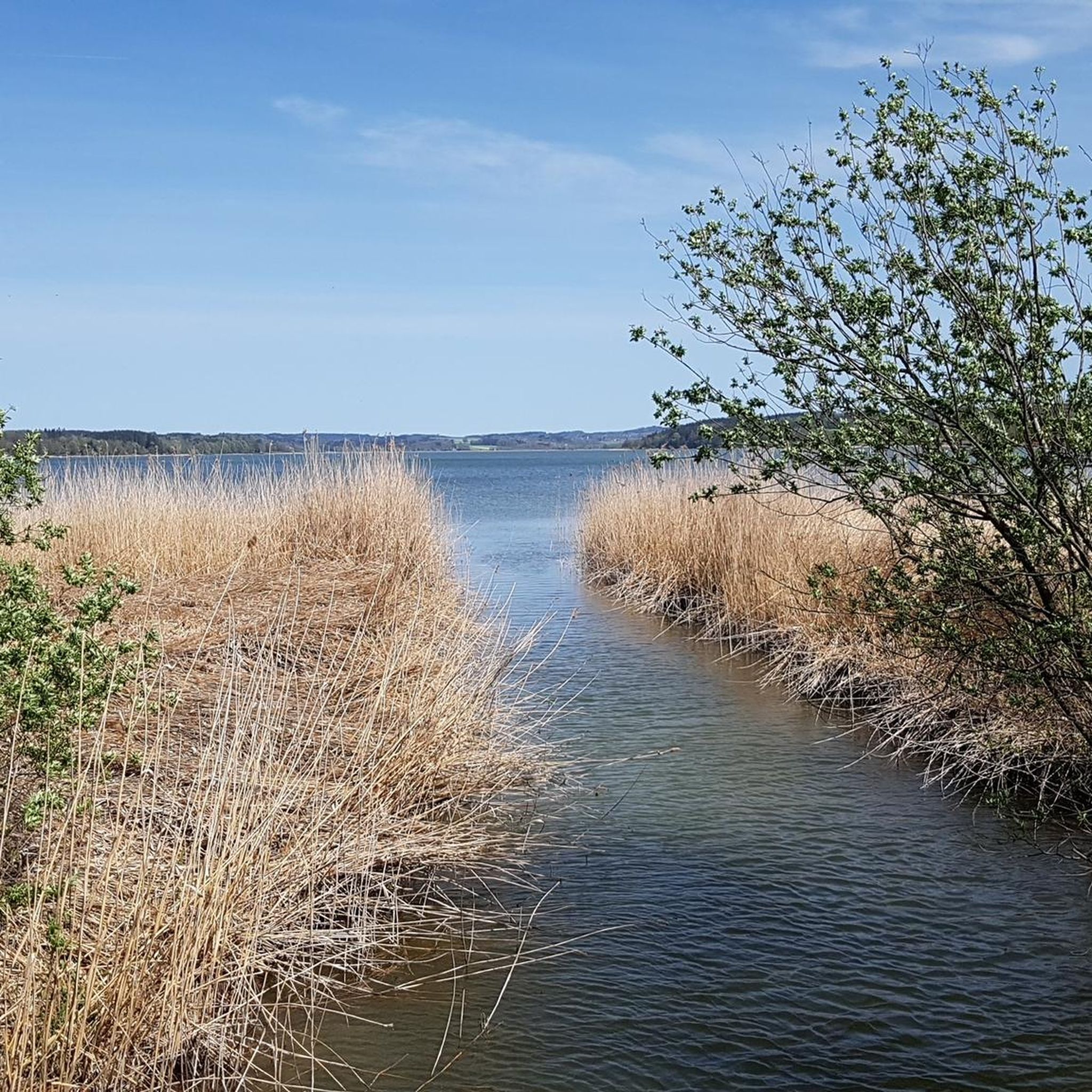
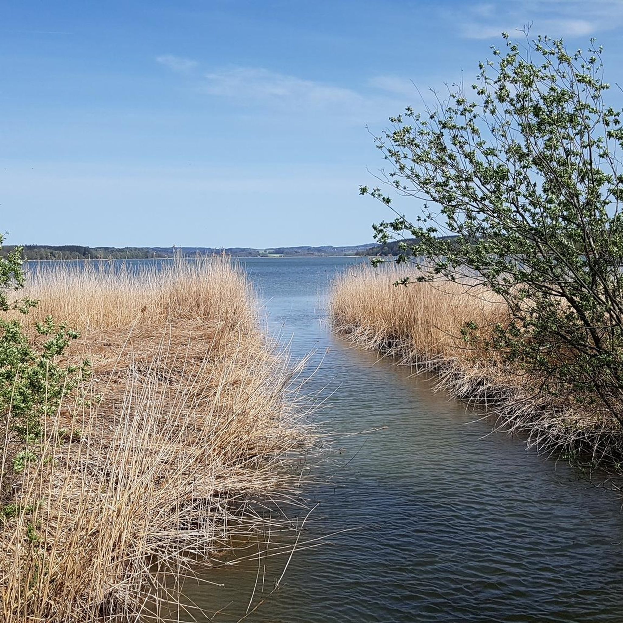
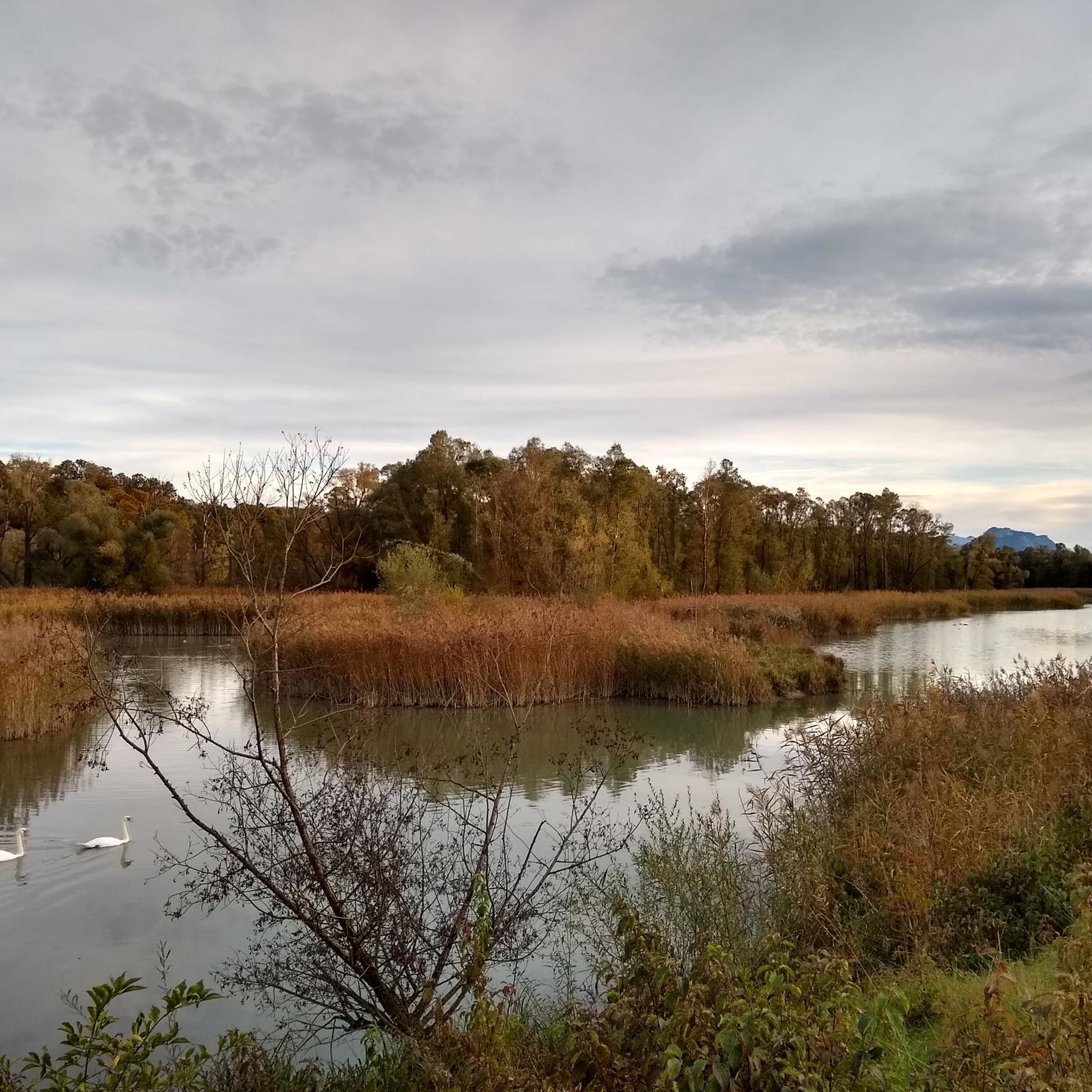
A wonderful, unobstructed view of Lake Sims.
0
0

Rest to cool down
0
1


Great view of Lake Sims and the mountains
0
0

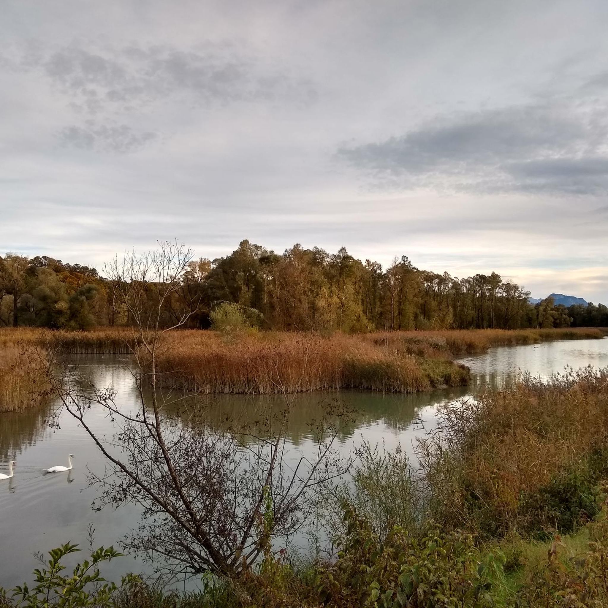
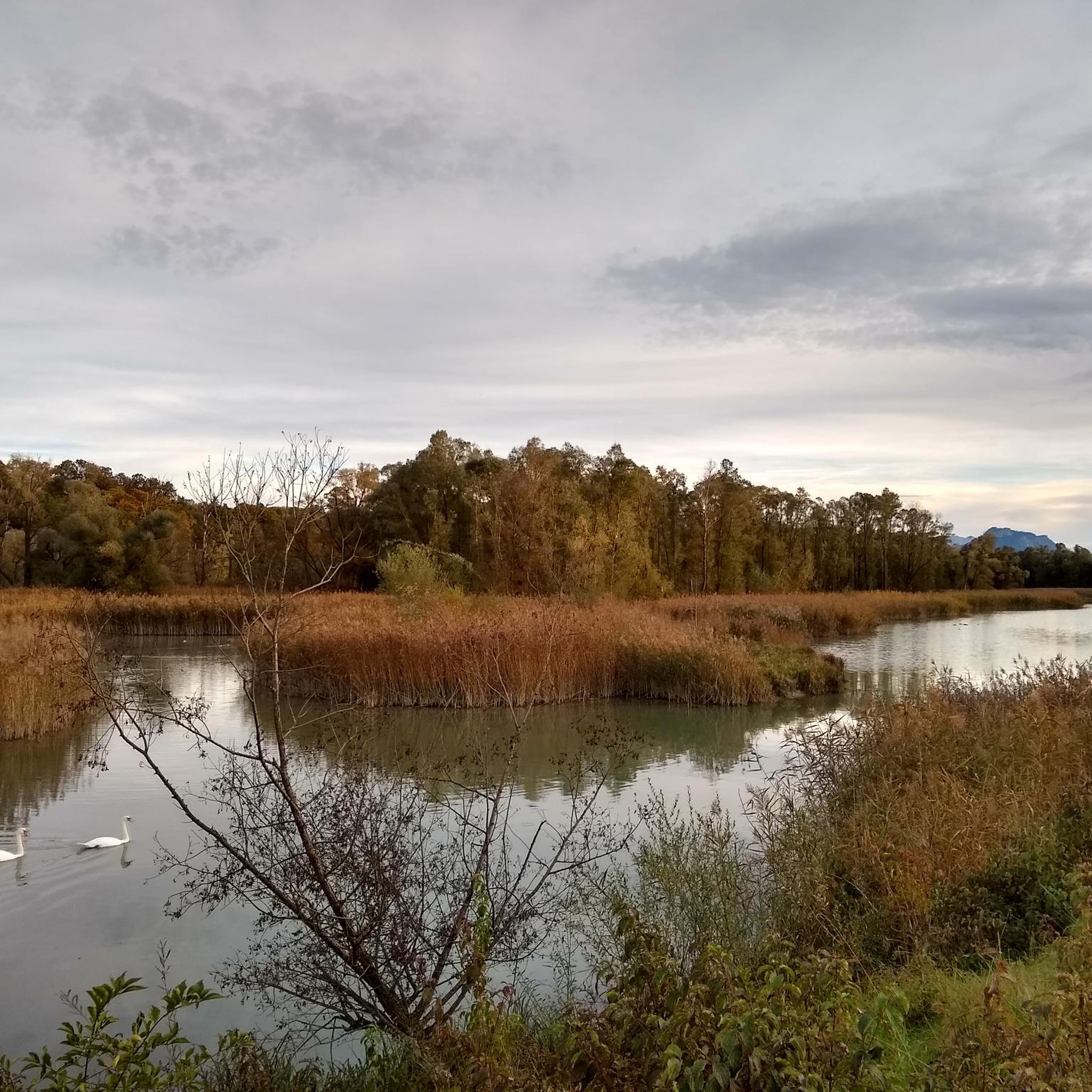
A memory of the Inn boatmen
1
0

Very nicely done
3
1
Frequently Asked Questions
How many gravel bike trails are available around Stephanskirchen?
Stephanskirchen offers a wide variety of gravel biking routes, with over 350 trails available. These routes cater to all skill levels, including approximately 50 easy, 170 moderate, and 130 difficult options.
What kind of terrain can I expect on gravel bike trails in Stephanskirchen?
The region around Stephanskirchen provides diverse terrain perfect for gravel biking. You'll find a mix of paved and unpaved paths, often transitioning smoothly between surfaces. Routes frequently follow the shores of lakes like Simssee and the Inn River, offering scenic and generally flatter sections. There are also rolling hills and routes through extensive forests, providing varied elevation profiles from easygoing rides to more challenging climbs.
Are there any easy gravel bike routes suitable for beginners or families?
Yes, Stephanskirchen has several easy gravel routes ideal for beginners or families. The Inn River Wetlands – The Inn River in Rosenheim loop from Stephanskirchen is a great option. This 13.1-mile (21.1 km) trail leads through the Inn River wetlands and is often completed in about 1 hour 25 minutes, featuring minimal elevation gain.
Which gravel bike trails offer a more challenging experience?
For those seeking a challenge, the region offers several difficult routes. The View of Hohenaschau Castle – View of the Kaiser Mountains loop from Rosenheim is a demanding 48.0-mile (77.2 km) trail with over 1,650 feet (500 m) of elevation gain, typically taking over 5 hours to complete. Another difficult option is the Doblergraben – Rinser See loop from Riedering, which covers 42.9 miles (69.1 km) with significant climbing.
What are some scenic viewpoints or natural attractions along the gravel routes?
Many gravel routes in Stephanskirchen offer beautiful views and pass by natural attractions. You can find routes that provide scenic views of the Bavarian Alps, such as the View of Kampenwand – Simssee Observation Tower loop from Riedering. The region is also rich in natural monuments like the Confluence of the Inn and the Mangfall, and beautiful lakes such as Langbürgner See.
Are there any historical or cultural landmarks I can visit while gravel biking?
Yes, Stephanskirchen's surroundings offer several historical and cultural landmarks. You might encounter various castles, such as Prantseck Castle or Hartmannsberg Castle, along some routes. The region also features religious sites like the Luitpold Oak and Chapel on Oberleck, providing a blend of outdoor adventure and cultural enrichment.
What is the best season for gravel biking in Stephanskirchen?
The best season for gravel biking in Stephanskirchen is generally from spring through autumn. During these months, the weather is pleasant, and the diverse landscapes, including lake shores and forest paths, are at their most inviting. Summer also offers the added benefit of swimming opportunities at idyllic bathing spots in Simssee.
Are there many loop routes for gravel biking in the area?
Yes, the gravel biking network around Stephanskirchen features numerous loop routes, which are very popular among local riders. For example, the Doblergraben – Panoramic Route Near Zaißberg loop from Schloßberg is a moderate 17.2-mile (27.6 km) path that offers varied terrain and approximately 500 feet (150 m) of climbing, providing a complete circular experience.
What do other gravel bikers enjoy most about the trails in Stephanskirchen?
The gravel biking routes in Stephanskirchen are highly rated by the komoot community, with an average score of 4.5 stars from over 900 reviews. Riders often praise the diverse terrain, the scenic views along lakes and rivers, and the well-developed network that caters to various skill levels. Many appreciate the ability to transition between paved and unpaved sections, making it a true gravel biking paradise.
Are there less crowded gravel bike trails available?
While some popular routes can see more traffic, the extensive network of trails around Stephanskirchen means you can often find quieter paths. Exploring routes through the Rotter Forest area or along less-traveled sections of the Inn River Wetlands can offer a more tranquil experience away from the main thoroughfares.
What are the typical durations for gravel bike rides in this region?
Gravel bike rides in Stephanskirchen vary significantly in duration depending on the route's length and difficulty. Shorter, easier loops like the Inn River Wetlands – The Inn River in Rosenheim loop from Stephanskirchen can be completed in about 1 hour 25 minutes. More challenging and longer routes, such as the View of Hohenaschau Castle – View of the Kaiser Mountains loop from Rosenheim, can take over 5 hours.
Most popular routes around Stephanskirchen
Most popular attractions around Stephanskirchen

Get inspired with the komoot mobile app


Explore more
Browse the best Gravel rides in other regions.
