The best gravel rides around Otterndorf
4.8
(21)
137
riders
Gravel biking around Otterndorf offers routes through the flat coastal landscapes of Lower Saxony. The region is characterized by its proximity to the Elbe estuary and the North Sea, featuring a mix of marshlands, dikes, and some forested areas. Routes often follow coastal paths, leading through open fields and alongside waterways, with minimal elevation changes. The terrain is generally suitable for various skill levels, focusing on scenic views rather than challenging climbs.
Best gravel bike trails around Otterndorf
- The most…
Last updated: May 21, 2026
4.7
(6)
34
riders
29.1km
01:39
80m
80m
Easy gravel ride. Great for any fitness level. Mostly paved surfaces. Suitable for all skill levels.
4.4
(10)
40
riders
35.1km
02:00
80m
80m
Easy gravel ride. Great for any fitness level. Mostly paved surfaces. Suitable for all skill levels.

Sign up for free
8
riders
117km
06:15
260m
260m
Hard gravel ride. Very good fitness required. Mostly paved surfaces. Suitable for all skill levels.
5.0
(1)
7
riders
51.7km
02:51
140m
140m
Moderate gravel ride. Good fitness required. Mostly paved surfaces. Suitable for all skill levels.
2
riders
31.5km
01:46
80m
80m
Easy gravel ride. Great for any fitness level. Mostly paved surfaces. Suitable for all skill levels.
Our route recommendations are based on thousands of hikes, rides, and runs completed by other people on komoot.
Start today with a free account
Your next adventure awaits.
Login or Signup
Popular around Otterndorf
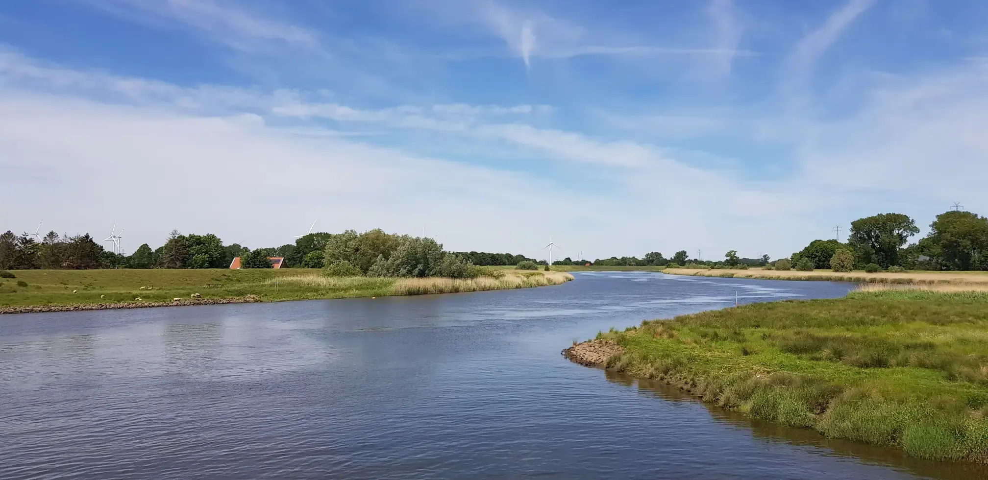
North German nature by bike – from the Devil's Moor to the Wadden Sea
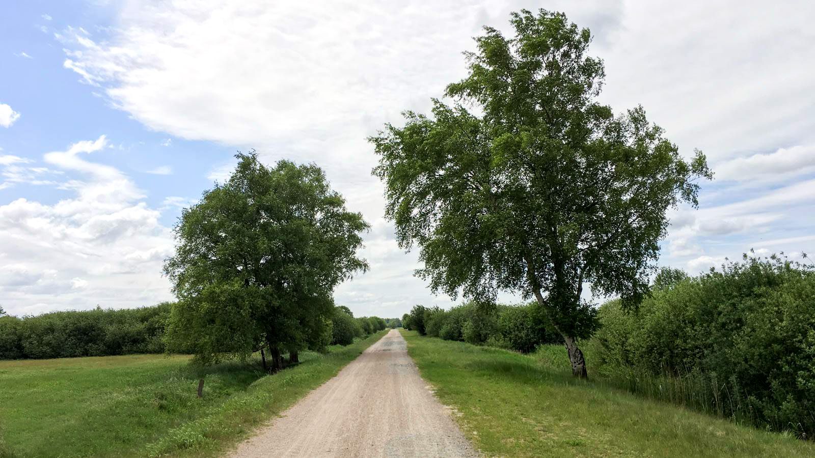
Elbe-Weser cycle path – 4 days on the tracks of the former route
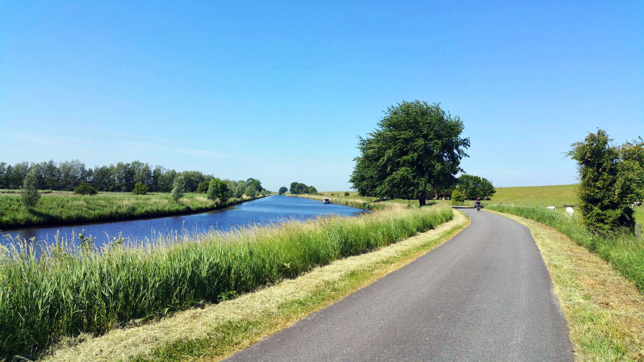
Adventurous themed ride in picturesque Cuxland
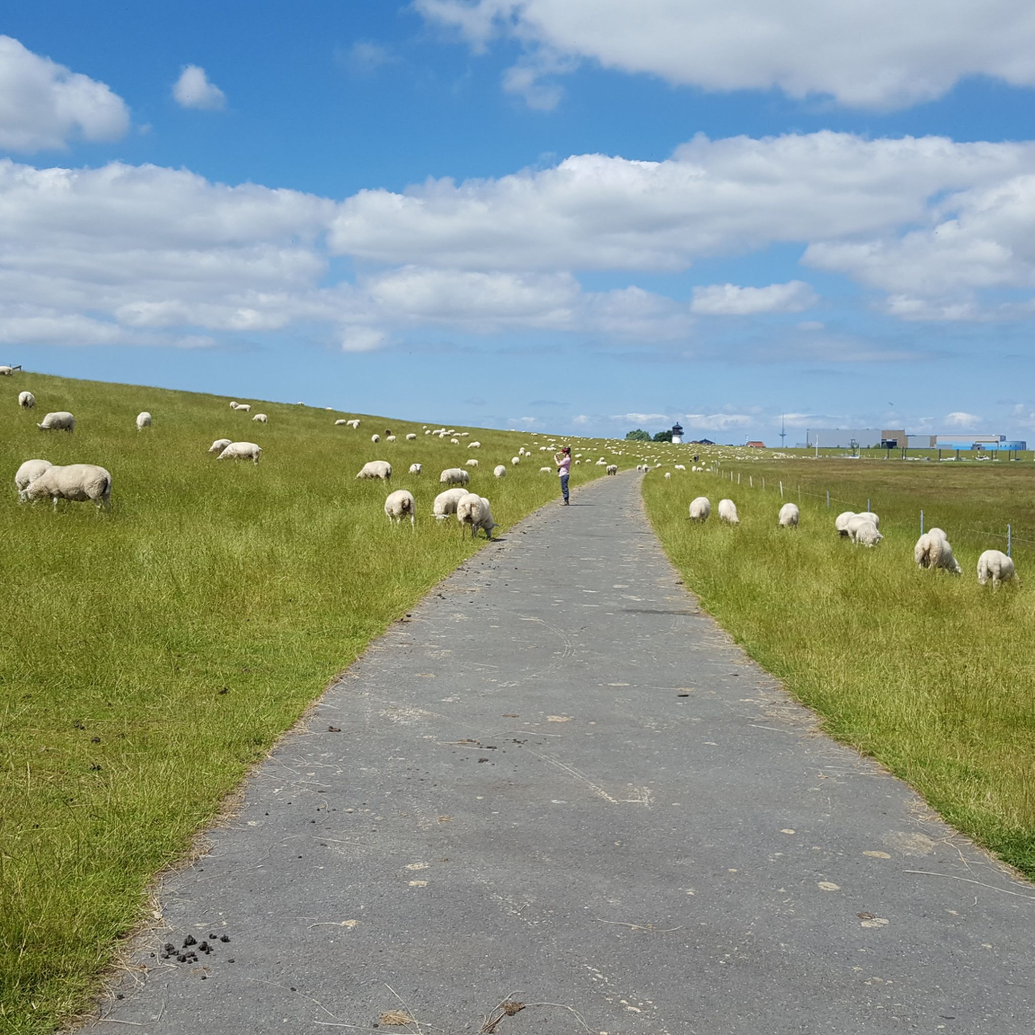
Cycling around Otterndorf
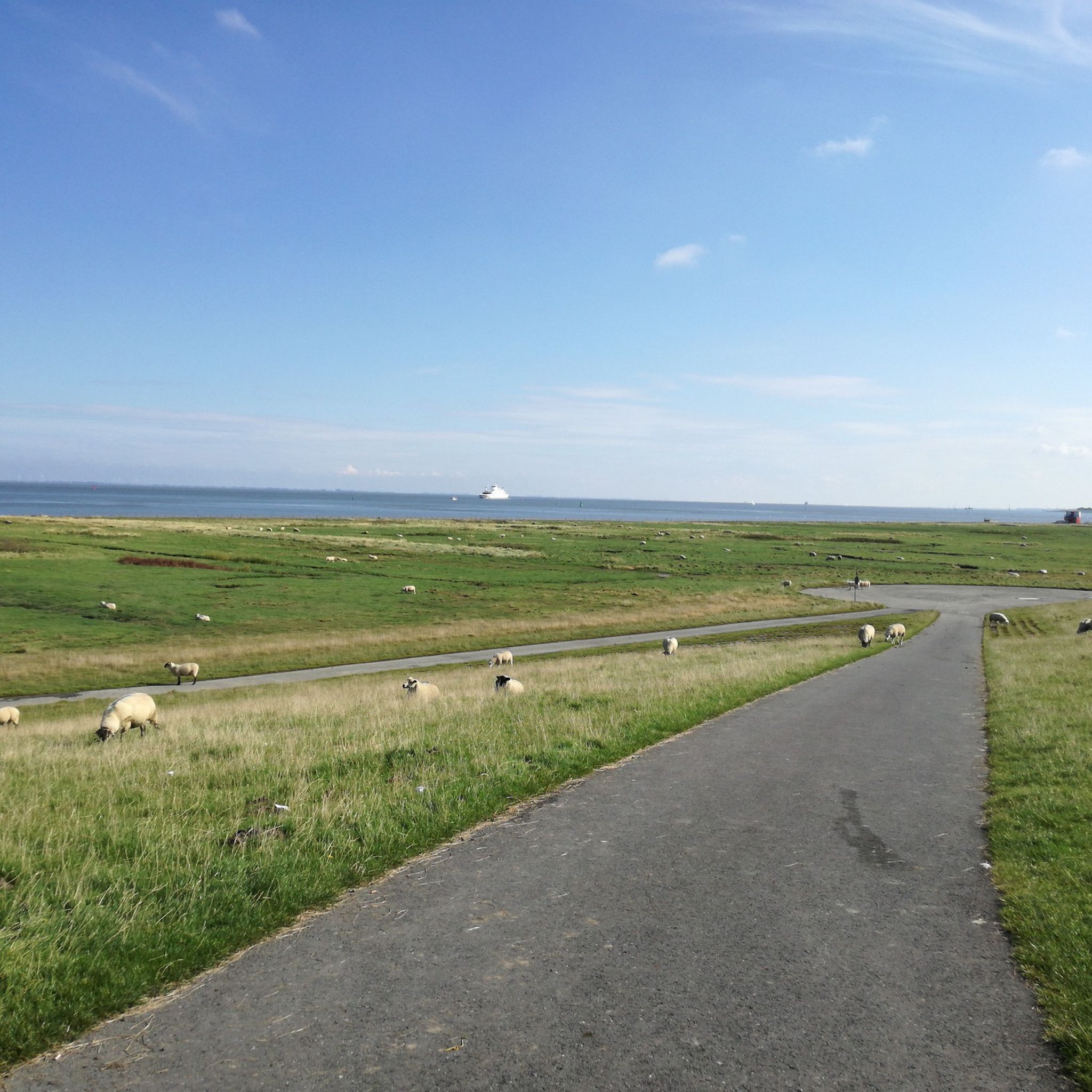
Hiking around Otterndorf
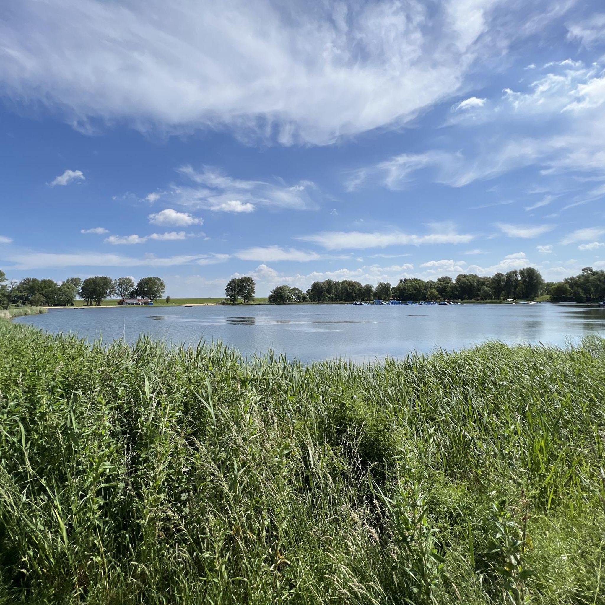
Running Trails around Otterndorf
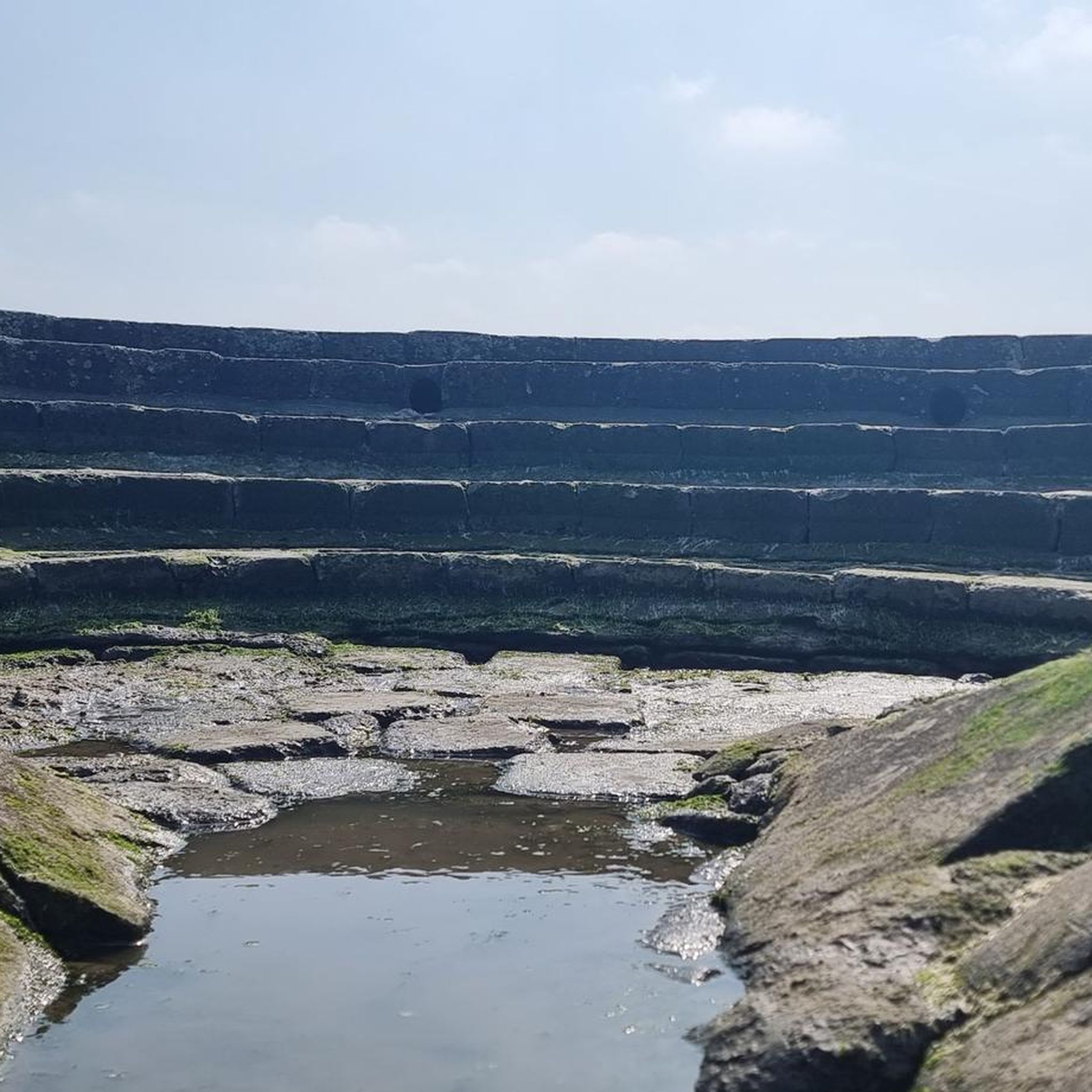
Road Cycling Routes around Otterndorf
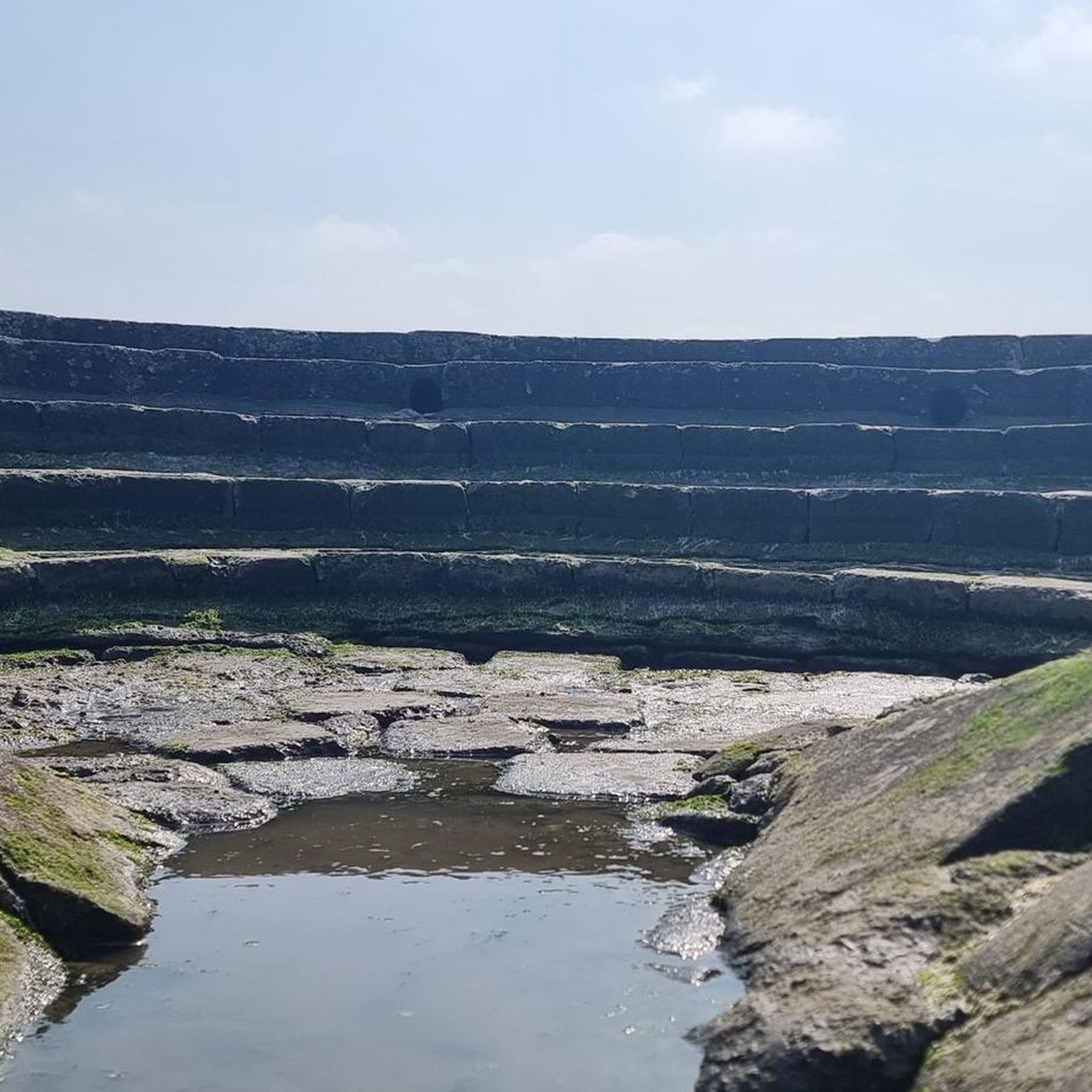
MTB Trails around Otterndorf


Tips from the Community

From a watercourse in a hollow, a moor developed through overlying dunes and then an increasingly natural silting-up process due to growing deposits. The Finkenmoor is approx. 220m long and 75m wide. The Finkenmoor has had the status of a natural monument since June 13, 1938. Due to its location in the direct influence area of the North Sea, the Finkenmoor became part of the Lower Saxony Wadden Sea National Park around 2000. On June 26, 2009, together with the Wadden Sea, Albertsee, Demor (Deemoor), and a part of the former Nordheim Foundation (Heliosgelände), it was included in the UNESCO list of 'World Natural Heritage'. This places Cuxhaven on a par with world-famous natural sites such as the Grand Canyon in the USA or the Great Barrier Reef off the coast of Australia. As a curiosity, the connecting forest area between the Finkenmoor and the foreland also belongs to the Wadden Sea over a width of approx. 100 meters and is part of the protected area. Thus, Cuxhaven has a forest area belonging to the 'World Natural Heritage Wadden Sea'.
0
0

Several viewpoints offer you a fantastic view over the heathland all the way to the North Sea. Particularly recommended is the Wilhelm-Lemke viewing tower near Altenwalde or the Feldherrenhügel, from which maneuvers were once observed. 🔭⛰️
1
0
Konik wild horses, Heck cattle and even wisent live in large enclosures in the heathlands. With a bit of luck, you can observe these primeval-looking animals directly from the saddle. 🐎🐂
1
0
🚲✨ The Cuxhaven coastal heathlands offer you one of the most varied cycling tours in the north. On the extensive grounds of a former military training area, you cycle today through a unique nature reserve that, with its heathland, moors, and forests, is almost reminiscent of a savanna.
1
0


Hi, We had a great hike today in the Duhner Heide nature reserve in Cuxhaven. We explored the Duhner Heide, which is a protected area, and it was wonderful – well worth a visit, even in February 💝. A quick trip to the beach was a must, of course – always beautiful 😊. A fantastic cycling and hiking trail runs through the beautiful natural surroundings. Absolutely spectacular and highly recommended 👍🏻. ...
7
0

A beautiful viewing platform offers a fantastic view of the sea and the island of Neuwerk. There's also a telescope at the top, but you'll need a coin to use it. At the bottom of the viewing platform is one of the stamp boxes for the North Sea Travel Passport.
2
0

The tower was built in 1897 and decommissioned in 2004, after which it was listed as a historical monument. Following a seven-year renovation by a Swiss couple, the tower now houses a cozy café on the ground floor and several exclusive holiday apartments on the upper floors.
1
0
Frequently Asked Questions
What kind of terrain can I expect on gravel bike trails around Otterndorf?
The Otterndorf region is characterized by its flat coastal landscapes, offering routes through marshlands, along dikes, and occasionally through forested areas. You'll primarily encounter coastal paths, open fields, and waterways, with minimal elevation changes. The terrain is generally smooth and suitable for gravel bikes.
Are there easy gravel bike trails suitable for beginners or families in Otterndorf?
Yes, Otterndorf offers several easy routes perfect for beginners or families. For instance, the Old Post Road – Forest Singletrack Trail loop from Cuxhaven is an easy 29.1 km trail featuring a mix of forest singletrack and open paths. Another great option is the Dune Path in Duhnen – View of the Kugelbake loop from Cuxhaven, which is 35.1 km and leads through coastal dunes.
How long do gravel bike routes typically take in the Otterndorf area?
Route durations vary depending on the distance and your pace. Easy routes like the Old Post Road – Forest Singletrack Trail loop from Cuxhaven can be completed in about 1 hour 39 minutes. Longer, moderate routes such as the Dune Path in Duhnen – View of Neuwerk Island loop from Cuxhaven, which is 50.4 km, typically take around 2 hours 45 minutes.
Are there any circular gravel bike routes available near Otterndorf?
Many of the gravel bike routes in the Otterndorf region are designed as loops. Examples include the Old Post Road – Forest Singletrack Trail loop from Cuxhaven and the View of the Kugelbake – Dune Path in Duhnen loop from Cuxhaven, both offering convenient circular journeys.
What are some scenic viewpoints or attractions I can see along the gravel bike trails?
The region offers several scenic spots and attractions. You can enjoy views of Neuwerk Island on routes like the Dune Path in Duhnen – View of Neuwerk Island loop from Cuxhaven. Other notable sights include the Dicke Berta Lighthouse, the Altenbruch Observation Tower, and the iconic Historic Town Center of Otterndorf. Many routes also follow the scenic Elbe Dike Cycling Route.
What is the best time of year to go gravel biking in Otterndorf?
The flat coastal terrain of Otterndorf makes it enjoyable for gravel biking throughout much of the year. Spring and summer offer pleasant weather for exploring the open fields and coastal paths. Autumn provides beautiful scenery, while winter rides are possible, though you should be prepared for colder temperatures and potentially windier conditions along the coast.
Are there any challenging gravel biking routes for advanced riders in Otterndorf?
While Otterndorf is known for its generally flat and accessible terrain, routes like the Dune Path in Duhnen – View of Neuwerk Island loop from Cuxhaven offer a moderate challenge with its 50.4 km distance. For more advanced riders, the challenge often comes from longer distances and potential headwinds along the open dikes, rather than significant elevation gains.
Can I reach the gravel bike trails in Otterndorf using public transport?
Otterndorf has good public transport connections, including a train station. Many routes start from or pass near towns like Cuxhaven, which are well-served by regional trains. You can often take your bike on regional trains, making it convenient to access various starting points for your gravel adventures.
Where can I find parking for gravel cycling routes in Otterndorf?
Parking is generally available in and around Otterndorf, especially near popular starting points for cycling routes. Look for designated parking areas in the town center or at trailheads. If starting from Cuxhaven, there are various parking options available in the city, particularly near the coastal areas where many routes begin.
What do other gravel bikers say about the routes in Otterndorf?
The gravel biking routes in Otterndorf are highly rated by the komoot community, with an average score of 4.7 stars from over 20 reviews. Riders often praise the scenic coastal views, the well-maintained paths along dikes, and the overall accessibility for various skill levels. The unique mix of marshlands and sea views is frequently highlighted as a favorite aspect.
Are there places to stop for refreshments or cafes along the gravel bike trails?
Given the popularity of cycling in the region, you'll find opportunities for refreshments. Many routes pass through or near small towns and villages where cafes, bakeries, and restaurants are available. Especially in coastal towns like Cuxhaven and Otterndorf itself, there are numerous options to refuel and relax during your ride.
Most popular routes around Otterndorf
Most popular attractions around Otterndorf

Get inspired with the komoot mobile app


Explore more
Browse the best Gravel rides in other regions.
