The best gravel rides around Hohenleuben
4.1
(8)
60
riders
16
rides
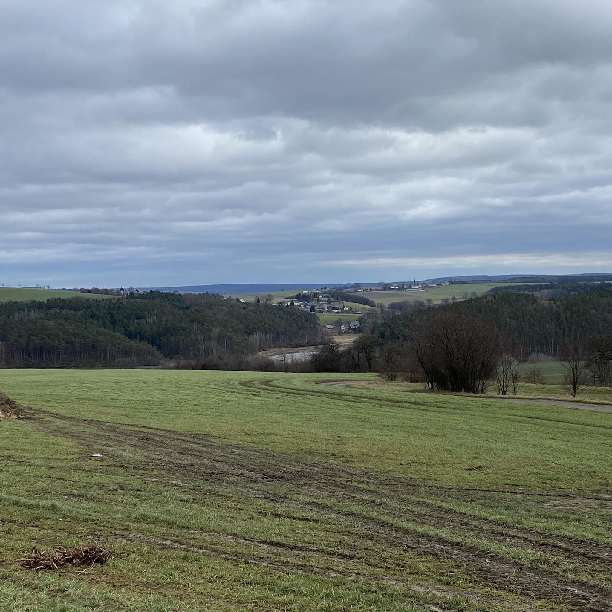
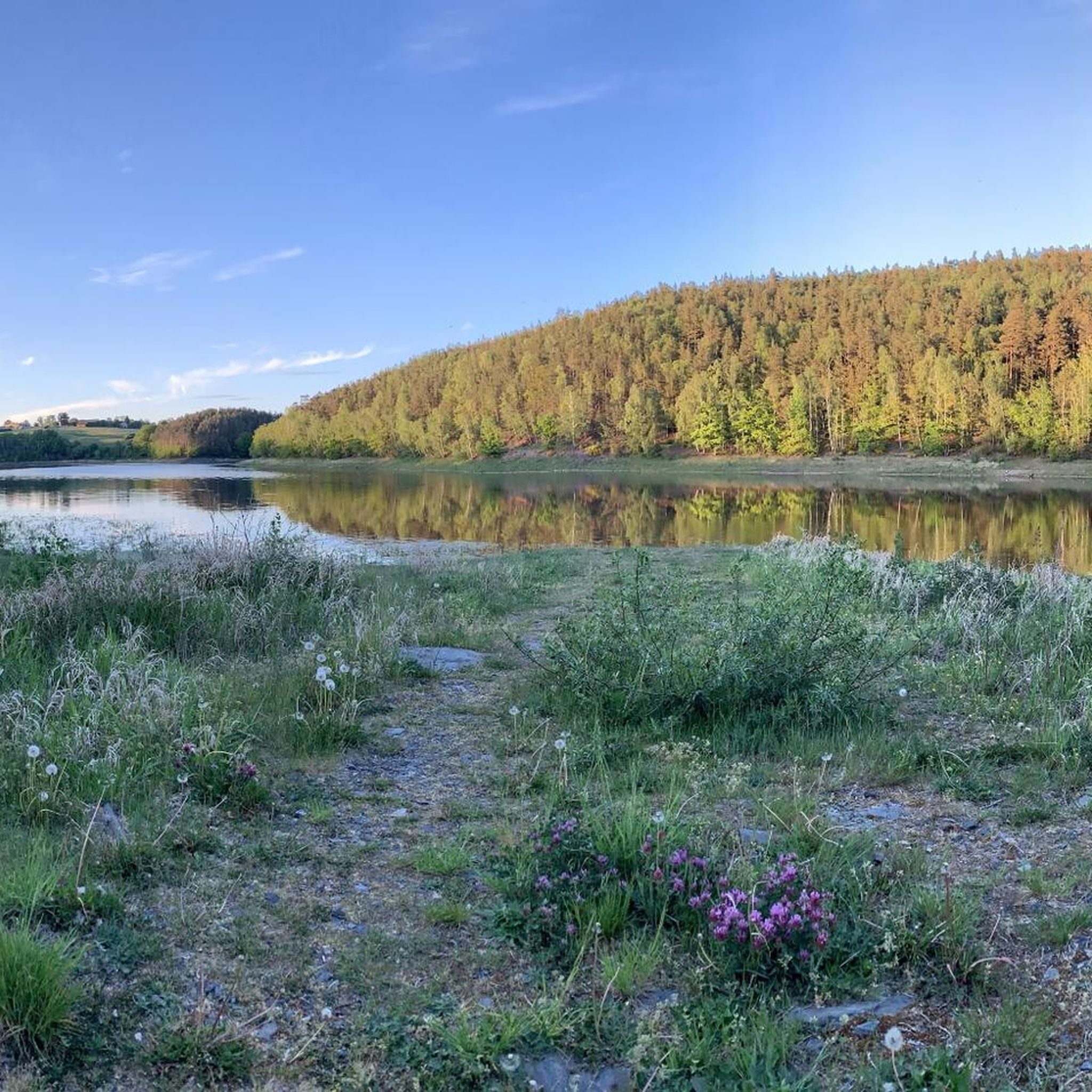
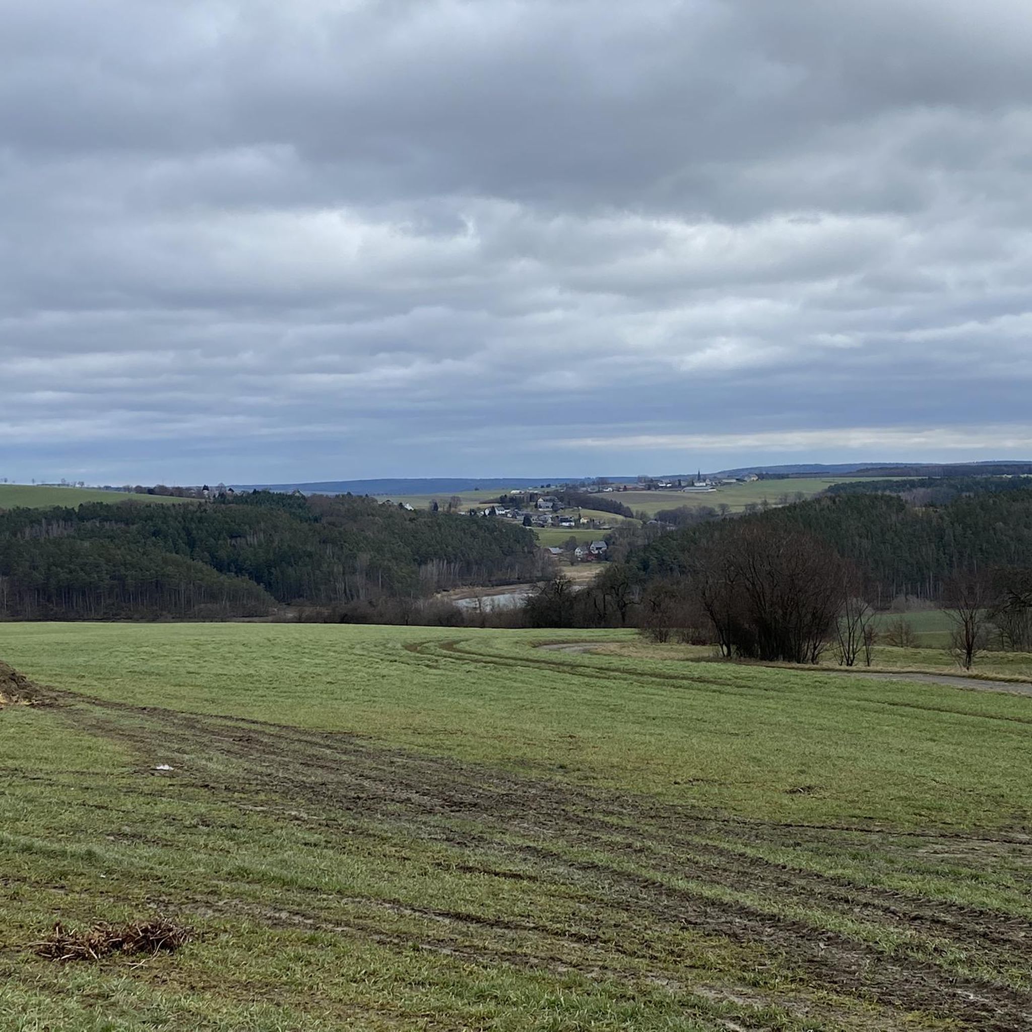
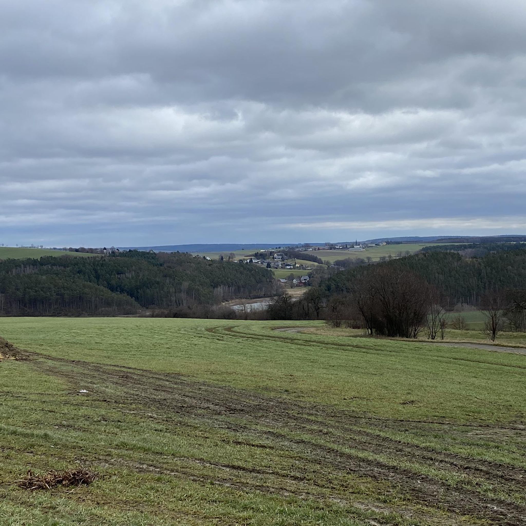
Gravel biking around Hohenleuben features a diverse landscape characterized by rolling hills, dense woodlands, and river valleys. The region offers a mix of unpaved roads and forest paths suitable for gravel bikes. Elevation changes are present, with some routes including climbs up to 500 meters. The terrain provides varied surfaces for gravel biking.
Best gravel bike trails around Hohenleuben
- The most popular gravel bike trail is Brückentelefon Bridge – Wooden Swing Shelter Rest Area loop from Weißendorf, a 15.3 miles (24.6 km) trail that takes 1 hour 50 minutes to complete. This moderate route includes a climb of 651 feet (198 meters).
- Another top favourite among local gravel bikers is Schöne Höhe Observation Tower – Wooden Swing Shelter Rest Area loop from Triebes, a difficult 27.6 miles (44.4 km) path. This route features significant elevation gain, passing through varied forest and open terrain.
- Local gravel bikers also love the Wooden Swing Shelter Rest Area – Weida Dam loop from Zadelsdorf, a 25.1 miles (40.5 km) trail leading through forested areas and past the Weida Dam, often completed in about 2 hours 43 minutes.
- Gravel biking around Hohenleuben is defined by wooded hills, river valleys, and open agricultural land, offering a mix of surfaces. The network provides options for different ability levels, from moderate to more challenging routes.
- The routes in Hohenleuben are highly rated by the komoot community with an average score of 4.1 stars from 8 reviews. More than 50 gravel bikers have used komoot to explore Hohenleuben's varied terrain.
Last updated: May 22, 2026
3.7
(3)
17
riders
Moderate gravel ride. Good fitness required. Mostly paved surfaces. Suitable for all skill levels.
3.0
(1)
11
riders
Hard gravel ride. Very good fitness required. Mostly paved surfaces. Suitable for all skill levels.

Sign up for free
4.0
(2)
8
riders
40.5km
02:43
520m
520m
Hard gravel ride. Very good fitness required. Mostly paved surfaces. Suitable for all skill levels.
3
riders
35.7km
02:20
380m
380m
Hard gravel ride. Good fitness required. You may need to push your bike for some segments of this route.
2
riders
26.8km
01:40
240m
240m
Moderate gravel ride. Good fitness required. Mostly paved surfaces. Suitable for all skill levels.
Get access to more routes and recommendations from other explorers.
Sign up for free
Already have an account?
Our route recommendations are based on thousands of hikes, rides, and runs completed by other people on komoot.
Start today with a free account
Your next adventure awaits.
Login or Signup
Tips from the Community

Pick up stamp and do Kneipp therapy. Ideal in warm weather
0
0

There are some beautiful things to actively discover along the panoramic trail at Zeulenrodaer Meer 😊.
17
0
A lakeside stage overlooking the Zeulenroda reservoir. Events take place here several times a year.
16
0

Soak up the sun and enjoy the beauty of the landscape.
0
0

This is not Pirk, but the Zeulenroda Dam
1
0

The path is completely overgrown in late summer, with roots everywhere. It's no fun, even on an e-MTB. It's the first time I've ever caught a tick on my bike... Plus, you can barely make any progress. In an hour, I didn't even manage a quarter of the way around without dawdling.
0
0

Went down today... some parts were pretty tough. Rode with Flyer Uproc 2.1, and it was just about manageable. I would recommend not doing it without propulsion... the narrow trails go up and down very steeply... with some tough sections in between.
0
0

Always worth a trip. Different routes are possible there.
0
0
Frequently Asked Questions
How many gravel bike trails are available in Hohenleuben?
Hohenleuben offers a good selection of gravel bike trails, with over 19 routes available. These range from moderate to difficult, providing options for various skill levels.
What is the best time of year for gravel biking in Hohenleuben?
The region's diverse landscape of rolling hills, woodlands, and river valleys makes spring and autumn ideal for gravel biking. The temperatures are pleasant, and the scenery is particularly vibrant. Summer can also be great, but be prepared for warmer weather, especially on routes with less tree cover.
Are there any easy gravel bike trails suitable for beginners in Hohenleuben?
While there are no routes explicitly classified as 'easy' in our current selection, many of the 'moderate' trails are suitable for beginners with a reasonable level of fitness. These routes typically feature manageable climbs and varied surfaces. For example, the White Elster Riverbank – Hüttchenberg Quarry loop from Berga (Elster) is a moderate option with less elevation gain.
Can I find circular gravel bike routes in Hohenleuben?
Yes, many of the gravel bike routes in Hohenleuben are designed as circular loops, allowing you to start and end at the same point. This is convenient for planning your ride. An example is the Pöllwitz Pond – At Röderberg Shelter loop from Triebes.
What interesting sights or landmarks can I see while gravel biking in Hohenleuben?
The Hohenleuben area is rich in natural and historical attractions. You can encounter impressive castles like Osterburg, Weida or the Greiz Summer Palace. Natural highlights include the serene Weida Dam and the beautiful Princely Greiz Park. Some routes, like the Wooden Swing Shelter Rest Area – Weida Dam loop from Zadelsdorf, pass directly by such points of interest.
Are there challenging gravel bike routes for experienced riders in Hohenleuben?
Absolutely. Hohenleuben offers 8 difficult gravel bike routes for those seeking a challenge. These routes often feature significant elevation gains, with some climbs exceeding 500 meters, and cover longer distances through varied terrain. The Schöne Höhe Observation Tower – Wooden Swing Shelter Rest Area loop from Triebes is a prime example of a difficult route with substantial elevation.
Are dogs allowed on the gravel bike trails in Hohenleuben?
Generally, dogs are welcome on most public trails in the Hohenleuben region, especially on forest paths and unpaved roads. However, it's always recommended to keep your dog on a leash, especially in nature reserves, near wildlife, or when passing through agricultural areas. Please also ensure you clean up after your pet.
Where can I find scenic viewpoints on gravel bike routes in Hohenleuben?
Many routes in Hohenleuben traverse rolling hills and offer glimpses of the picturesque landscape. For dedicated viewpoints, look for trails that pass by observation towers or elevated sections. The Schöne Höhe Observation Tower – Wooden Swing Shelter Rest Area loop from Triebes, for instance, includes the Schöne Höhe Observation Tower, providing panoramic views.
What do other gravel bikers enjoy about the trails in Hohenleuben?
The gravel biking experience in Hohenleuben is highly rated by the komoot community, with an average score of 4.1 stars from 8 reviews. Riders often praise the region's diverse landscape, which combines dense woodlands, river valleys, and open agricultural land, offering a great mix of surfaces and scenic variety.
Are there gravel bike routes with parking available in Hohenleuben?
Most gravel bike routes in Hohenleuben start from towns or villages where public parking is typically available. When planning your route on komoot, you can often find information about suitable starting points and nearby parking options. Many routes are loops, making it convenient to park at the beginning and end of your ride.
What are the typical lengths of gravel bike trails in Hohenleuben?
The gravel bike trails around Hohenleuben vary significantly in length, catering to different preferences. You can find routes ranging from approximately 15 miles (24 km) to over 27 miles (44 km). This variety allows you to choose a ride that fits your available time and fitness level.
Most popular routes around Hohenleuben
Most popular attractions around Hohenleuben

Get inspired with the komoot mobile app


Explore more
Browse the best Gravel rides in other regions.
