The best gravel rides around Schleusegrund
4.8
(80)
468
riders
35
rides
Gravel biking around Schleusegrund offers routes through the Thuringian Forest, characterized by rolling hills and dense woodlands. The region features a network of paths that traverse river valleys and lead to various reservoirs. Elevations range across the area, providing diverse terrain for gravel cyclists.
Best gravel bike trails around Schleusegrund
- The most popular gravel bike trail is Höllteich – Höllteich loop from Masserberg, a 39.5 miles (63.6 km) trail that takes about 5 hours to complete. This route explores…
Last updated: July 3, 2026
4.6
(5)
38
riders
64.1km
03:55
850m
850m
Hard gravel ride. Very good fitness required. Mostly paved surfaces. Suitable for all skill levels.
5.0
(1)
16
riders
30.1km
02:04
450m
450m
Moderate gravel ride. Good fitness required. Mostly paved surfaces. Suitable for all skill levels.

Sign up for free
4.3
(4)
24
riders
76.2km
04:30
1,000m
1,000m
Hard gravel ride. Very good fitness required. You may need to push your bike for some segments of this route.
4.5
(4)
28
riders
49.3km
02:52
640m
640m
Hard gravel ride. Very good fitness required. Mostly paved surfaces. Suitable for all skill levels.
14
riders
21.6km
01:29
480m
480m
Hard gravel ride. Very good fitness required. Mostly paved surfaces. Suitable for all skill levels.
Get access to more routes and recommendations from other explorers.
Sign up for free
Already have an account?
Our route recommendations are based on thousands of hikes, rides, and runs completed by other people on komoot.
Start today with a free account
Your next adventure awaits.
Login or Signup

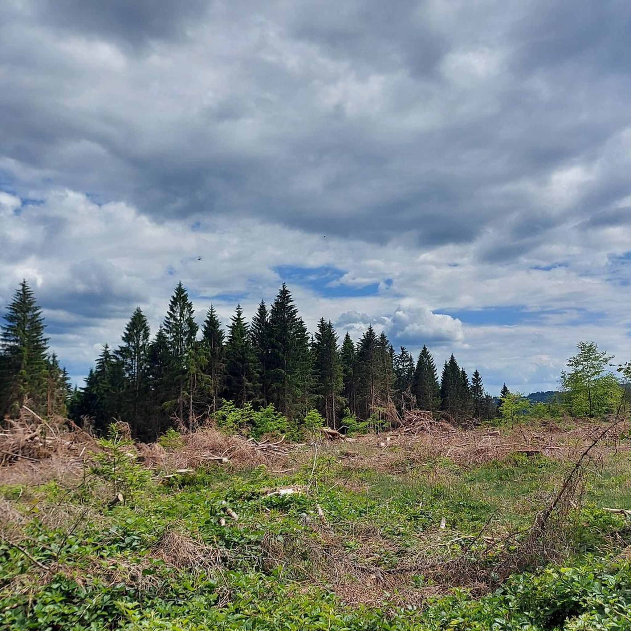

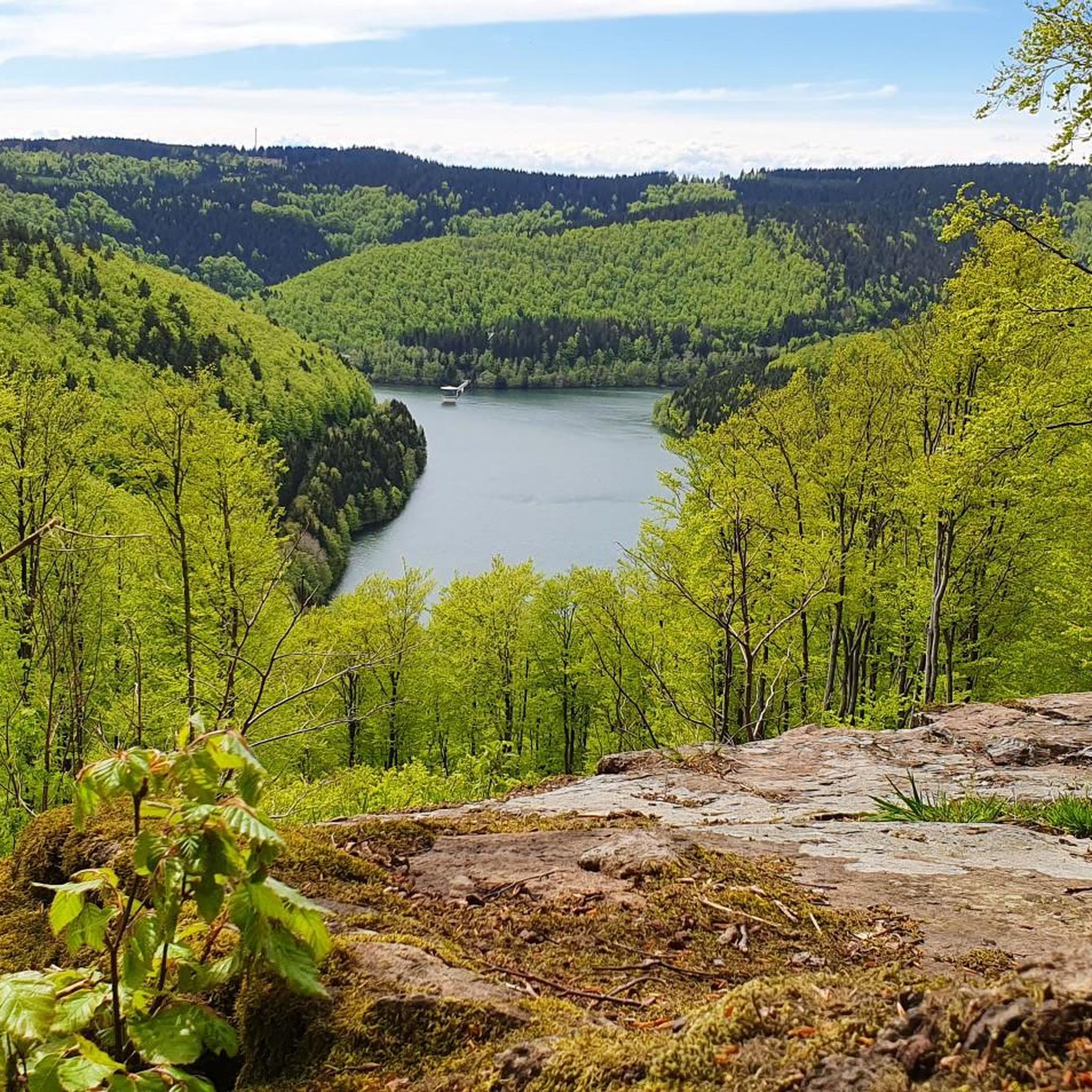
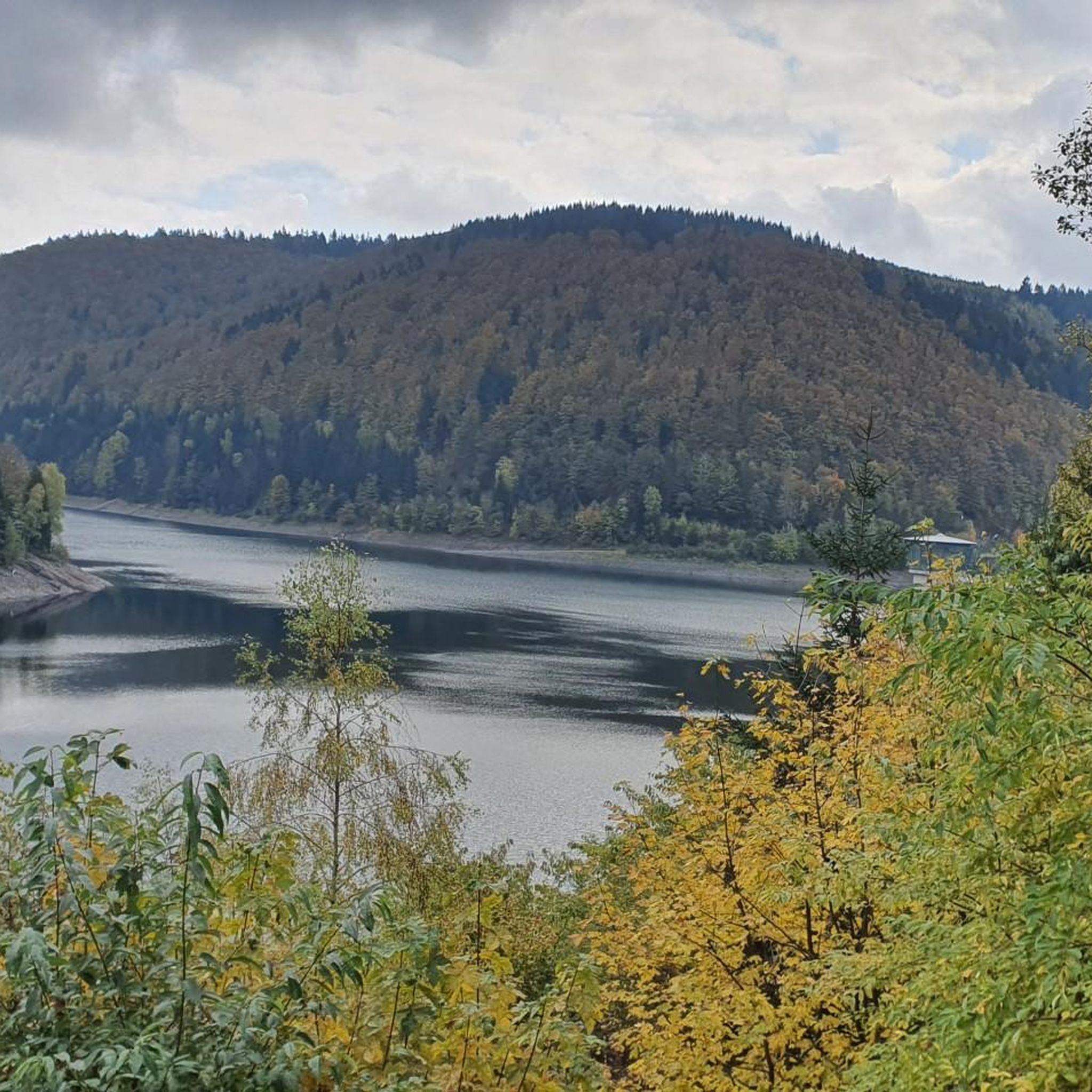
Other adventures around Schleusegrund

Tips from the Community

Relaxing for young and old and a joy for children
0
0

It's a great place for hiking.
0
0

Large intersection with many small roads.
1
0

Comfortable pass ride with moderate gradients.
0
0
Comfortable pass ride, the gradient is kept well within limits.
0
0


Just before Ilmenau, on the section of the Ilm Cycle Path along the former Langewiesen railway line, this rest area with a covered picnic hut invites you to take a relaxing break. Benches and a table are available here – ideal for a quick snack in the shade before heading into town. A perfect stopover for cyclists and hikers looking to enjoy the last few meters to Ilmenau.
0
0

Frequently Asked Questions
How many gravel bike trails are available in Schleusegrund?
Schleusegrund offers a wide selection of gravel bike trails, with over 40 routes available for exploration. These trails traverse the Thuringian Forest, providing diverse terrain for all skill levels.
What is the typical difficulty level of gravel bike trails in Schleusegrund?
The trails in Schleusegrund range from moderate to difficult. While there are no routes specifically classified as 'easy' for gravel biking, 12 routes are moderate, and 29 are considered difficult, offering challenges for experienced riders.
What are the typical distances for gravel bike trails in Schleusegrund?
Gravel bike trails in Schleusegrund vary in length. For example, the Werra Spring Fehrenbach – Werra Spring Hut loop from Heubach is a moderate 18.7 miles (30.1 km) ride, while the challenging Schwarzburg Castle loop from Altenfeld extends to 47.2 miles (76.0 km).
Are there any family-friendly gravel bike trails in Schleusegrund?
While many routes in Schleusegrund are moderate to difficult, families with older children or those comfortable with longer distances might enjoy sections of the less technical trails. It's always recommended to check the specific route details on komoot for elevation and terrain to ensure it suits your family's ability.
Can I bring my dog on gravel bike trails in Schleusegrund?
Many gravel bike trails in the Thuringian Forest are suitable for dogs, provided they are well-behaved and kept on a leash, especially in areas with wildlife or near livestock. Always be mindful of local regulations and other trail users.
When is the best time of year to go gravel biking in Schleusegrund?
The best time for gravel biking in Schleusegrund is typically from spring through autumn (April to October). During these months, the weather is generally milder, and the forest paths are more accessible. Autumn offers particularly beautiful scenery with changing foliage.
Are there good viewpoints along the gravel bike routes in Schleusegrund?
Yes, the region boasts several excellent viewpoints. You can find stunning vistas from locations like the Kickelhahn Tower, the Observation tower on Großer Finsterberg, and the Adlersberg Observation Tower. These offer panoramic views of the Thuringian Forest.
What do other gravel bikers enjoy most about gravel biking in Schleusegrund?
The komoot community highly rates gravel biking in Schleusegrund, with an average score of 4.8 stars from over 70 reviews. Riders often praise the dense woodlands, rolling hills, and scenic reservoirs, as well as the varied terrain that offers options for different ability levels.
Are there any circular gravel bike routes in Schleusegrund?
Yes, many of the gravel bike routes in Schleusegrund are designed as loops. For instance, the Schönbrunn Reservoir – Schönbrunn Reservoir loop from Frauenwald is a popular circular option, offering a challenging ride around the reservoir.
What are some other notable gravel bike routes in the area?
Beyond the most popular trails, you might enjoy the Rennsteig Station – Oberhof loop from Dreiherrenstein, a challenging 30.2-mile (48.6 km) route that takes you through varied forest landscapes.
What kind of natural attractions can I see while gravel biking in Schleusegrund?
The region is rich in natural beauty. Along your rides, you might encounter the Werra Spring Fehrenbach, the source of the Werra River, or explore areas around the various reservoirs. The dense woodlands and rolling hills themselves are a major draw.
Are there historical sites or landmarks along the gravel bike trails?
Yes, some routes pass by historical points of interest. For example, the Schwarzburg Castle loop from Altenfeld leads through forested hills and past historical sites, offering a blend of nature and history.
Most popular routes around Schleusegrund
Most popular attractions around Schleusegrund

Get inspired with the komoot mobile app


Explore more
Browse the best Gravel rides in other regions.
