The best gravel rides around Hilscheid
4.9
(18)
107
riders
31
rides
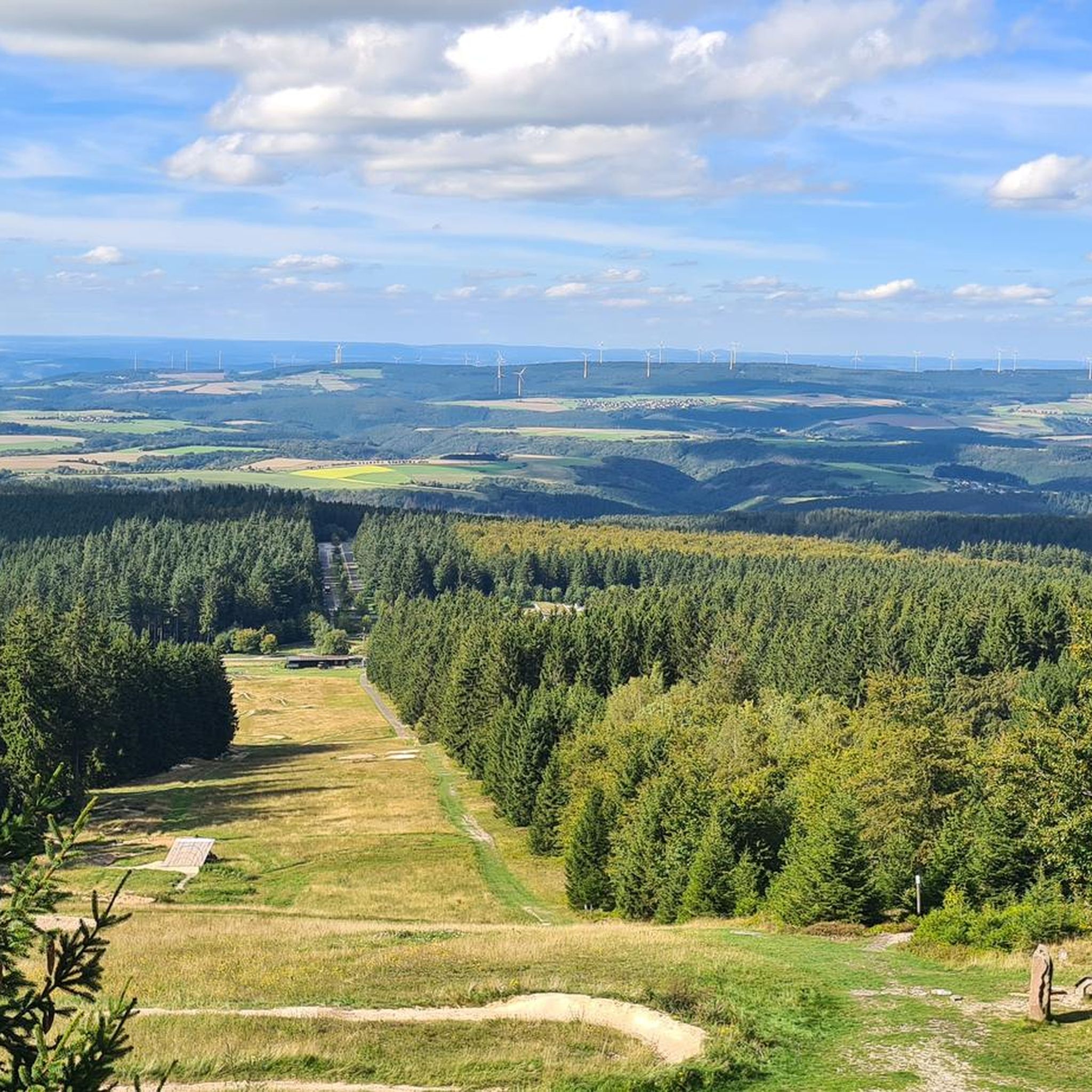
Gravel biking around Hilscheid offers routes through varied terrain, characterized by dense forests, open meadows, and rolling hills. The region features significant elevation changes, with many routes including climbs and descents. Water features such as streams and marshlands are also present along some trails. This landscape provides a diverse environment for gravel biking, ranging from challenging ascents to scenic paths.
Best gravel bike trails around Hilscheid
- The most popular gravel bike trail is Forest Meadows Wacken Tour, a 27.3…
Last updated: July 3, 2026
5.0
(3)
21
riders
44.0km
04:11
830m
830m
Hard gravel ride. Very good fitness required. You may need to push your bike for some segments of this route.
5.0
(3)
21
riders
43.5km
04:11
860m
860m
Hard gravel ride. Very good fitness required. You may need to push your bike for some segments of this route.

Sign up for free
3
riders
39.3km
03:26
670m
670m
Hard gravel ride. Very good fitness required. You may need to push your bike for some segments of this route.
5.0
(2)
4
riders
28.3km
01:53
390m
390m
Moderate gravel ride. Good fitness required. Mostly paved surfaces. Suitable for all skill levels.
5.0
(2)
8
riders
Moderate gravel ride. Good fitness required. Mostly paved surfaces. Suitable for all skill levels.
Get access to more routes and recommendations from other explorers.
Sign up for free
Already have an account?
Our route recommendations are based on thousands of hikes, rides, and runs completed by other people on komoot.
Start today with a free account
Your next adventure awaits.
Login or Signup
Popular around Hilscheid
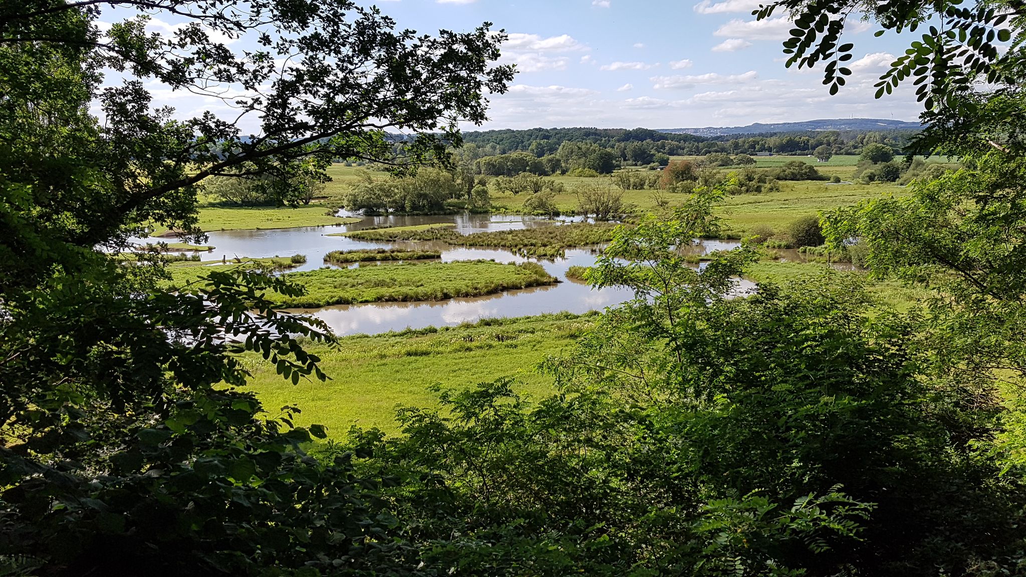
The National Natural Landscapes in Saarland
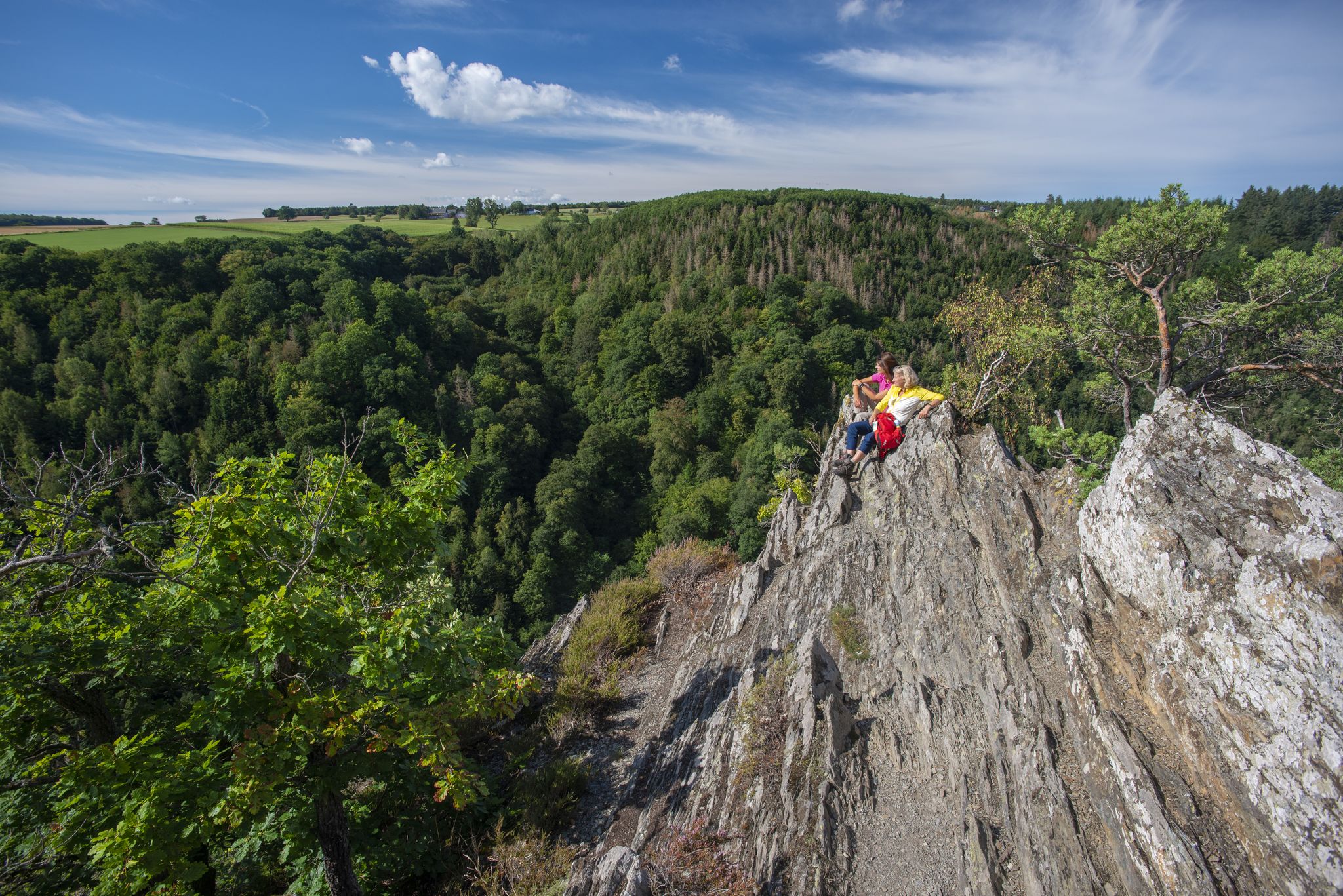
Dream Loops with great views in the Hunsrück
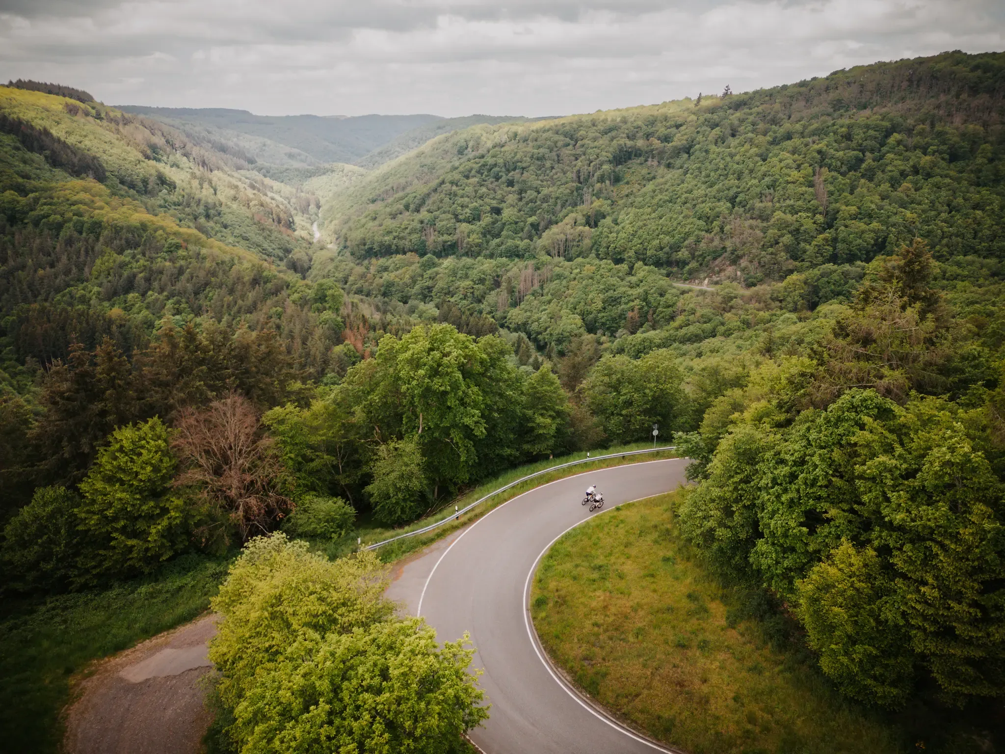
Make your road cycling dreams come true in the Hunsrück-Nahe region

Lowest to Highest (L2H) in Germany
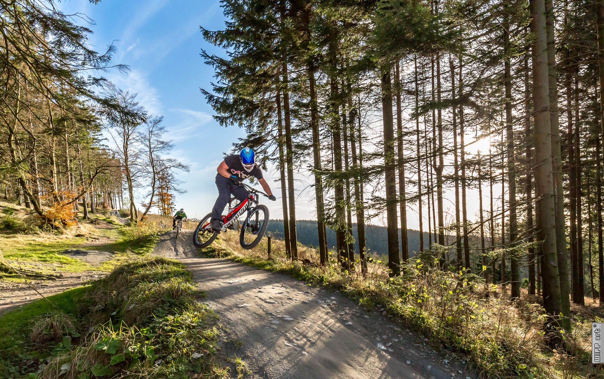
Bike parks in Western Germany
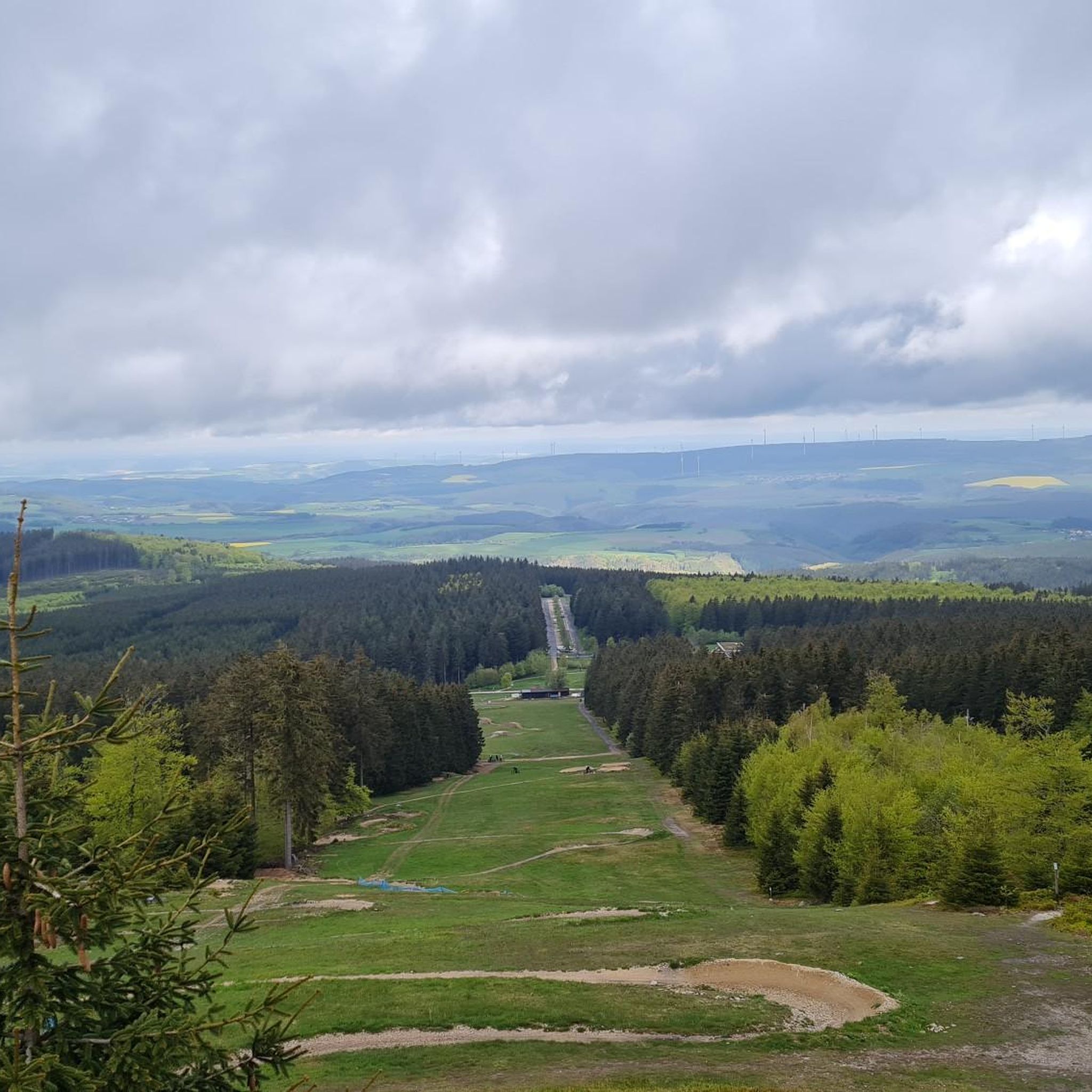
Hiking around Hilscheid
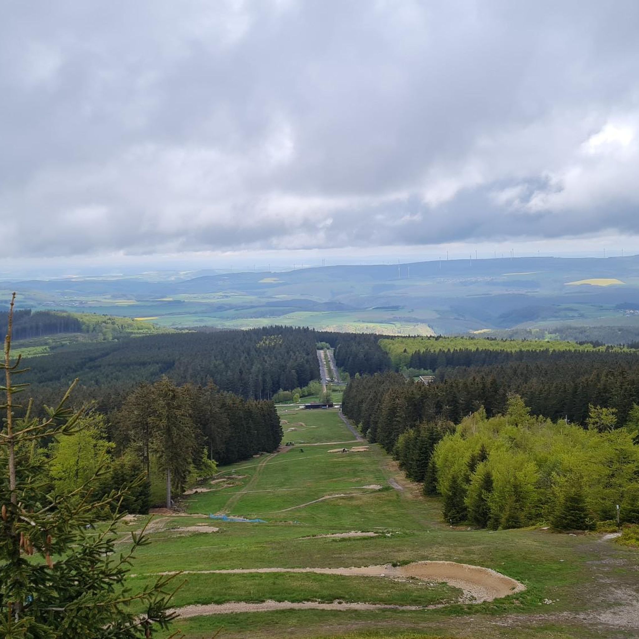
Road Cycling Routes around Hilscheid
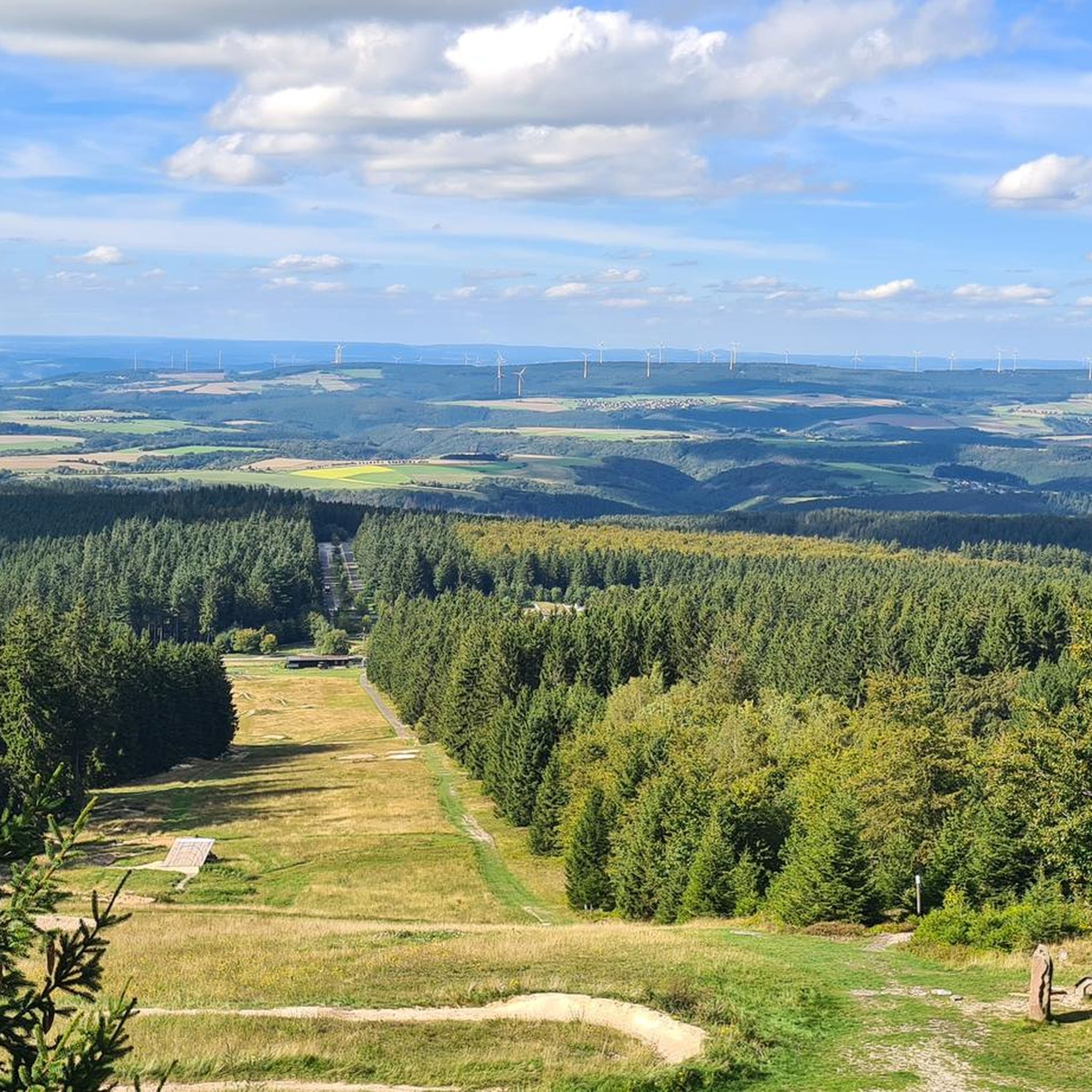
MTB Trails around Hilscheid
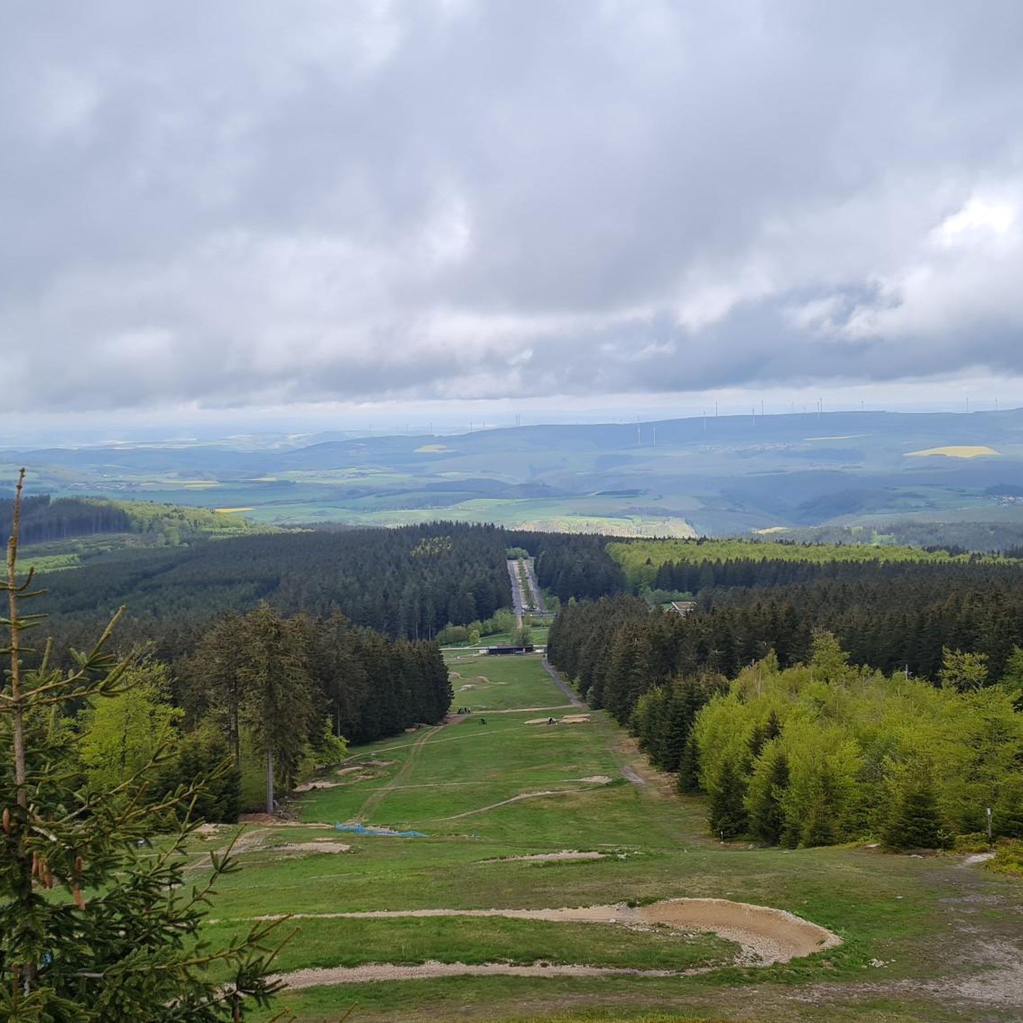
Cycling around Hilscheid
Running Trails around Hilscheid
Other adventures around Hilscheid


Tips from the Community

Unfortunately, the restaurant is closed.
1
0

It's nice to sit in the shade and empty the fridge (soft drinks, beer, wine)
2
0
This is one of the three "pleasure stations" along the trail. Soft drinks, beer, and wine can be purchased from the refrigerator on a trust basis. The tower is the only one that can be climbed; the rest of the building houses the forestry office.
2
0

🏰 Dhronecken Castle – History along the way An impressive site that demonstrates just how much history lies in this region. The castle is quietly situated, a little off the beaten track, but with a clear presence. Perfect for a quick detour, a photo – or simply a moment to wonder what it was like here in the past.
2
1


There is now a new bridge, barrier-free!
1
0

A stone bridge takes you into a “different world”. From here, a gravel path leads through the enchanted Dhron valley.
3
0

Very nice remains of the castle, here is a "pleasure place" a great place to take a break
4
0
Frequently Asked Questions
What is the general difficulty level of gravel bike trails in Hilscheid?
Gravel biking around Hilscheid offers a mix of challenges. You'll find 15 moderate routes and 21 difficult routes, catering to riders with varying experience levels. The terrain often includes significant elevation changes, dense forests, and open meadows.
Are there any beginner-friendly gravel bike routes around Hilscheid?
While there are no routes specifically classified as 'easy' in Hilscheid, several moderate trails are suitable for those looking for a less strenuous ride. For example, the Stone Bridge and Stream Trail – Path Along the Dhron loop from Morbach offers a moderate challenge over 28.3 km.
What are the typical distances and durations for gravel bike tours in Hilscheid?
The gravel bike tours in Hilscheid vary in length, with many popular routes ranging from 25 to 45 kilometers. Durations typically fall between 3 to 4.5 hours, depending on the route's distance and elevation profile. For instance, the Forest Wind Expanse is about 39.3 km and takes around 3 hours 25 minutes.
Are there family-friendly gravel biking options in Hilscheid?
For families or those preferring a more relaxed pace, consider the moderate routes available. These trails generally have less extreme climbs and descents compared to the difficult ones. The Luisenruh Rock Formation – View of the Traunbach Valley loop from Ellenberg is a good example of a moderate 29.5 km route.
Are there circular gravel bike routes available in Hilscheid?
Yes, many of the gravel bike routes in Hilscheid are designed as circular tours, allowing you to start and end at the same point. The Stone Bridge and Stream Trail – Path Along the Dhron loop from Morbach and the Luisenruh Rock Formation – View of the Traunbach Valley loop from Ellenberg are both excellent circular options.
What can I see along the gravel bike trails in Hilscheid?
The trails often lead through diverse landscapes including dense forests, open meadows, and sometimes marshy sections. You might encounter various natural features and points of interest. For example, you could pass by the serene Allenbacher Pond or the historic National Park Hunsrück-Hochwald Monument.
Are there any viewpoints or scenic spots along the gravel bike routes?
While specific viewpoints are not always explicitly marked on every route, the region's rolling hills and expansive forest areas naturally offer many scenic vistas. Keep an eye out for elevated sections, especially on routes like the Forest Wind Expanse, which traverses broad forest landscapes that often open up to panoramic views.
What do other gravel bikers enjoy the most about gravel biking in Hilscheid?
The area is highly rated by the komoot community, with an average score of 4.9 stars. Reviewers often praise the varied terrain, from challenging climbs through dense forests to peaceful rides across open meadows, and the well-maintained paths that make for an enjoyable gravel biking experience.
What is the best time of year for gravel biking in Hilscheid?
The best time for gravel biking in Hilscheid is generally from spring through autumn. During these seasons, the weather is typically mild, and the natural scenery, from blooming meadows to vibrant autumn foliage, is at its most beautiful. Winter riding is possible but can be challenging due to colder temperatures and potentially icy or muddy conditions on trails.
Are there places to stop for refreshments or shelter along the trails?
While specific cafes directly on every trail might be limited, you can find various huts and shelters in the broader Hilscheid area that can offer a place to rest or take shelter. Notable spots include the Oxen Stable Shelter or the Kohlerhütte, which are often accessible from different routes.
How many gravel bike trails are available in Hilscheid?
Hilscheid offers a comprehensive network of gravel bike trails, with over 30 routes available for exploration. This includes a good mix of moderate and difficult options, ensuring there's a suitable ride for almost every skill level.
Most popular routes around Hilscheid
Most popular attractions around Hilscheid

Get inspired with the komoot mobile app


Explore more
Browse the best Gravel rides in other regions.
