The best gravel rides around Osburg
4.5
(66)
263
riders
60
rides
Gravel biking around Osburg offers a diverse landscape characterized by dense forests, river valleys, and significant elevation changes. The region features a network of trails that traverse the Hochwald area and lead to reservoirs, providing varied terrain for gravel cyclists. These routes often include challenging climbs and descents, reflecting the area's hilly topography.
Best gravel bike trails around Osburg
- The most popular gravel bike trail is Over the back of the Hochwald, a 36.1 miles (58.1 km) trail that…
Last updated: October 6, 2026
4.5
(2)
23
riders
58.1km
05:19
880m
880m
Hard gravel ride. Very good fitness required. Mostly paved surfaces. Suitable for all skill levels.
5
riders
52.6km
05:12
1,110m
1,110m
Hard gravel ride. Very good fitness required. Mostly paved surfaces. Suitable for all skill levels.

8
riders
42.2km
03:50
740m
740m
Hard gravel ride. Very good fitness required. You may need to push your bike for some segments of this route.
4.7
(3)
7
riders
26.7km
02:12
560m
550m
Hard gravel ride. Very good fitness required. Mostly paved surfaces. Suitable for all skill levels.
6
riders
50.5km
03:47
750m
750m
Hard gravel ride. Very good fitness required. Mostly paved surfaces. Suitable for all skill levels.
Get access to more routes and recommendations from other explorers.
Already have an account?
Our route recommendations are based on thousands of hikes, rides, and runs completed by other people on komoot.
Start today with a free account
Your next adventure awaits.
Tips from the Community

I drove past it, but didn't take a photo
0
0


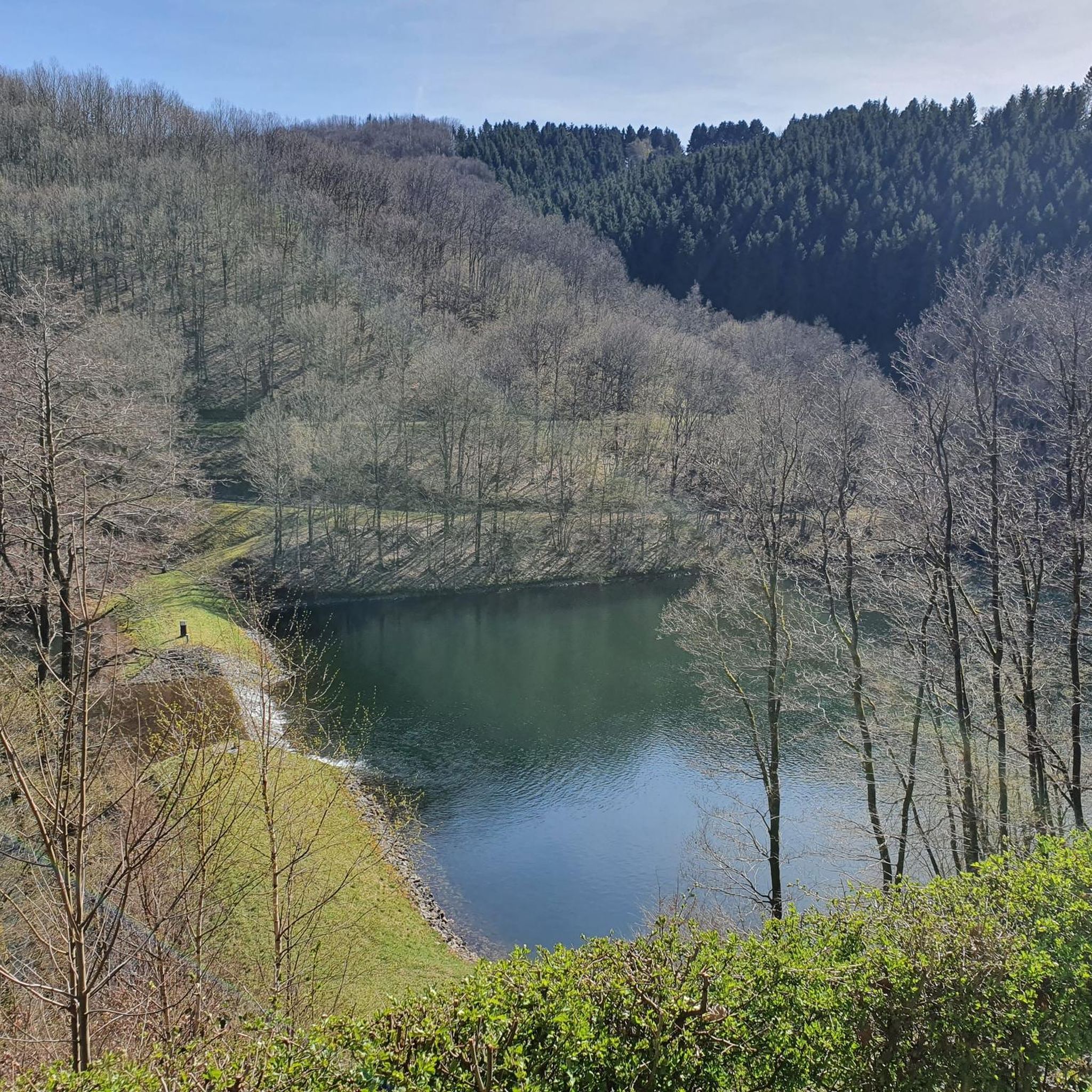
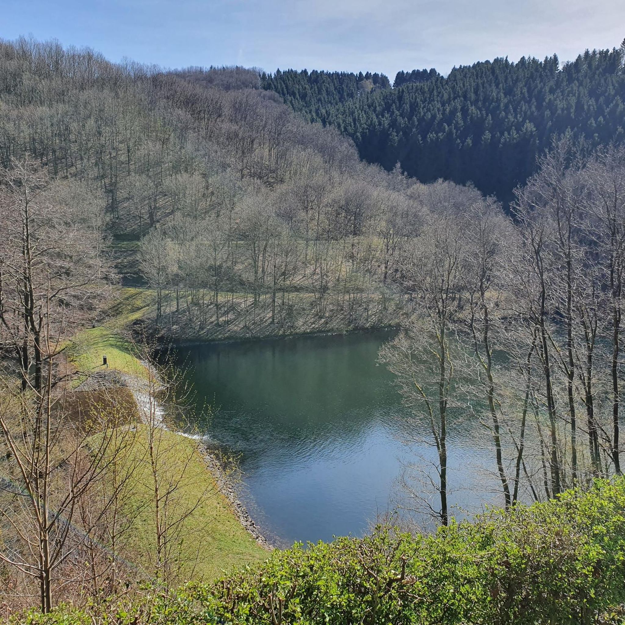
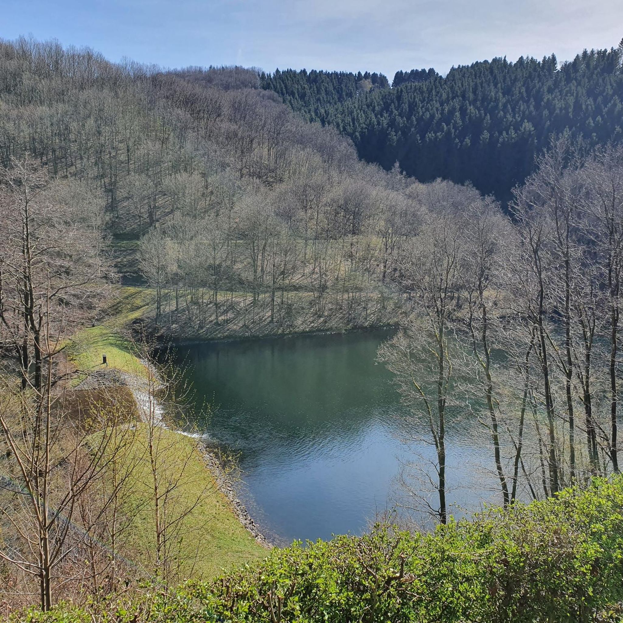
The Kallenbach flows into the Missrlbach a little above and then supplies the Riveristalsperre with its water
1
0

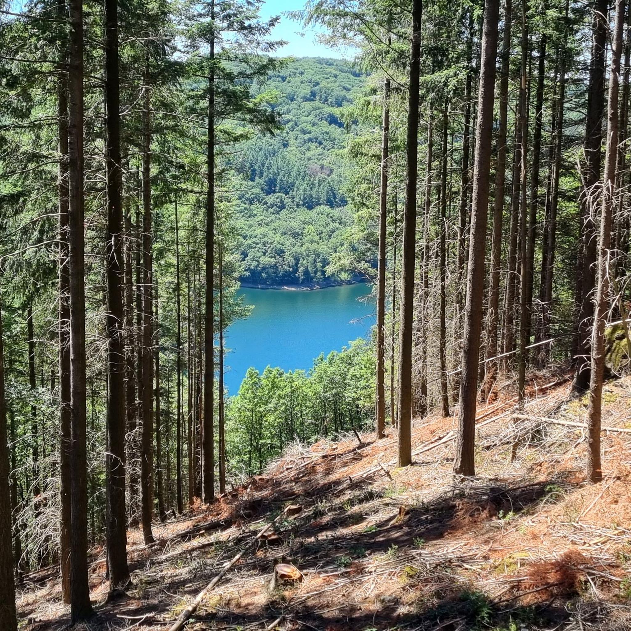
The shelter at the Primstal Dam offers a welcome break right by the water. Here, you can rest in the shade, enjoy the view of the reservoir, and gather new strength for the onward journey. Especially on hot days, this is an ideal place to take a short breather. It's also a popular meeting place for hikers and cyclists.
3
0

For me, "Frau Holle" was always the kind old lady shaking out down comforters. This "Frau Holle" with her hollow eyes gazing out of the rock, however, goes back to the Celtic/Germanic legendary figure who was declared a demon during the Christianization process.
1
0

In the heart of the Hochwald forest lies the 270-hectare "Keller Mulde" nature reserve, characterized by its species-rich wet meadows, fen forests, and valuable habitats. Numerous rare animal and plant species find refuge here – from butterflies and meadow birds to meadow clover and knotweed. 🪶 Tip: If you really want to experience nature, you should consciously walk slowly here. Between dragonflies, buzzing insects, and gentle meadow waves, every break feels special – a quiet gem of the region.
0
0

Beautiful shelter with a great view over the lake
1
0

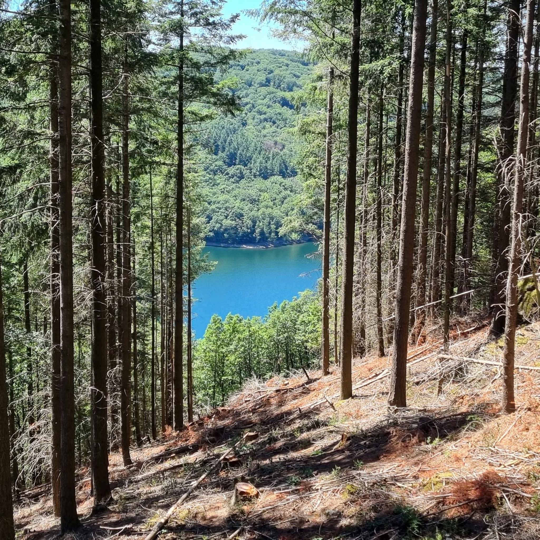
A beautiful shelter with a view of the Primstalsperre.
2
0
Frequently Asked Questions
What is the general difficulty level of gravel biking trails around Osburg?
Gravel biking around Osburg is characterized by its hilly topography, featuring challenging climbs and descents. The majority of the trails, specifically 58 out of 88, are rated as difficult, with the remaining 30 being moderate. This makes the region particularly appealing for experienced gravel bikers seeking a challenge.
Are there any family-friendly gravel biking options near Osburg?
While many routes around Osburg feature significant elevation changes and are rated as difficult, there are moderate options available. For families, it's advisable to look for routes with less elevation gain and shorter distances. You can filter for 'moderate' difficulty on komoot to find suitable paths, though specific family-friendly routes are not highlighted in the most challenging trails.
Where can I find parking for gravel bike trails in the Osburg area?
Parking availability varies by trailhead. Many routes, especially those starting from villages or popular recreational areas, will have designated parking. For example, routes like Keller Reservoir – Schillinger Lake loop from Kell am See often have parking facilities near the starting point in Kell am See. It's always recommended to check the tour details on komoot for specific parking information before you head out.
Are there any gravel bike trails around Osburg that are circular routes?
Yes, many of the gravel bike trails in the Osburg region are designed as loops, allowing you to start and end at the same point. An example is the challenging Keller Reservoir – Schillinger Lake loop from Kell am See, which covers over 65 kilometers. Circular routes are convenient for exploring the diverse landscape without needing a return trip arrangement.
What kind of natural attractions can I see along the gravel bike trails near Osburg?
The region offers a variety of natural attractions. You can encounter several lakes, such as the Keller Reservoir, Herberloch Pond, and the Riveris Reservoir, which also features the impressive Riveris Dam. These bodies of water are often integrated into the routes, providing scenic viewpoints and tranquil spots.
Are there any huts or rest areas along the gravel biking routes in Osburg?
Yes, you can find several huts and rest areas that offer a chance to pause and refuel. Notable spots include the Rest area at the Finnenbahn, the Huxlay Hut with views of the Moselle, and the Spit-Roast Hall at Schillinger Lake. These provide convenient stops during longer rides.
What is the best time of year for gravel biking around Osburg?
The region's dense forests and varied terrain are enjoyable throughout the warmer months, typically from spring to autumn. Spring offers lush greenery, while autumn provides beautiful foliage. Given the challenging nature of many routes, avoiding icy or snowy conditions in winter is advisable, as some trails may become less accessible or more hazardous.
What do other gravel bikers enjoy most about the trails in Osburg?
The area is highly rated by the komoot community, with an average score of 4.7 stars from over 70 reviews. Reviewers often praise the diverse landscape, including dense forests and river valleys, as well as the challenging climbs and descents that make for an engaging ride. The well-maintained network of trails is also frequently highlighted.
Are there any routes that follow river valleys in the Osburg area?
Yes, the region is known for its river valleys. The Dhrontal and more route, for instance, leads through the picturesque Dhrontal valley, offering a different character of terrain compared to the higher forest paths. Another option is the Ruwer Cycle Path – Covered bridge over the Ruwer River loop from Heddert, which follows the Ruwer River.
What should I wear for gravel biking in Osburg, considering the weather conditions?
Given the region's varied terrain and potential for elevation changes, layering is key. Even on warm days, the dense forests can be cooler, and descents can create a wind chill. Waterproof and windproof outer layers are advisable, especially during spring and autumn, as weather can change quickly. Always check the local forecast before heading out.
Can I reach gravel bike trailheads in Osburg using public transport?
While Osburg is a smaller community, some trailheads may be accessible via regional bus services. However, public transport options might be limited, especially for reaching more remote starting points. It's recommended to research specific bus routes and schedules to the villages closest to your desired trailhead. Many gravel bikers prefer to drive to a central starting point with parking.
Are there any hidden gem gravel routes or less-traveled paths around Osburg?
With 88 total tours available, there are many opportunities to discover less-traveled paths beyond the most popular ones. Exploring routes that venture deeper into the Hochwald area or connect smaller villages can often lead to quieter, more secluded gravel experiences. Komoot's map allows you to identify trails that might be less frequented by filtering for specific characteristics or exploring new areas.
Most popular routes around Osburg
Most popular attractions around Osburg

Get inspired with the komoot mobile app


Explore more
Browse the best Gravel rides in other regions.
