The best gravel rides around Gauersheim
4.5
(2)
27
riders
20
rides
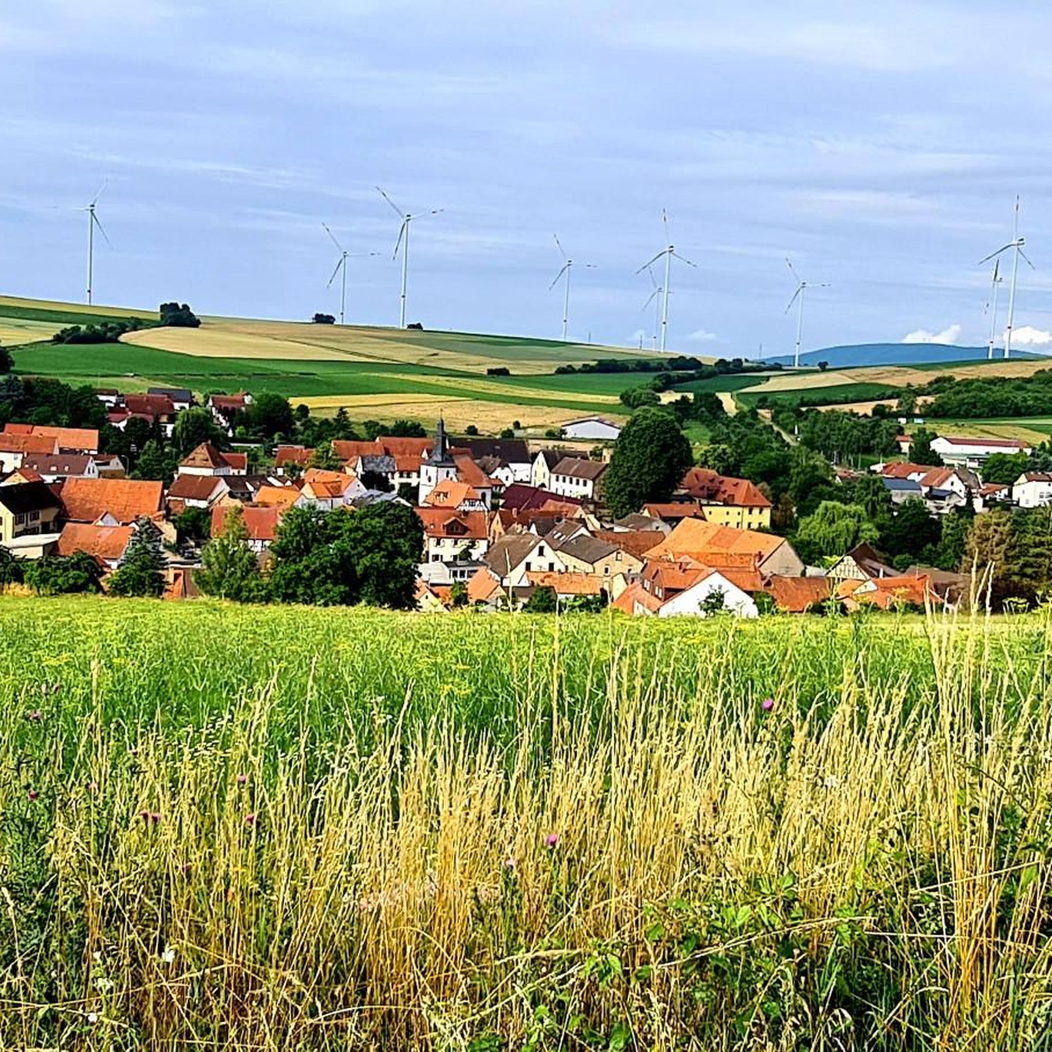
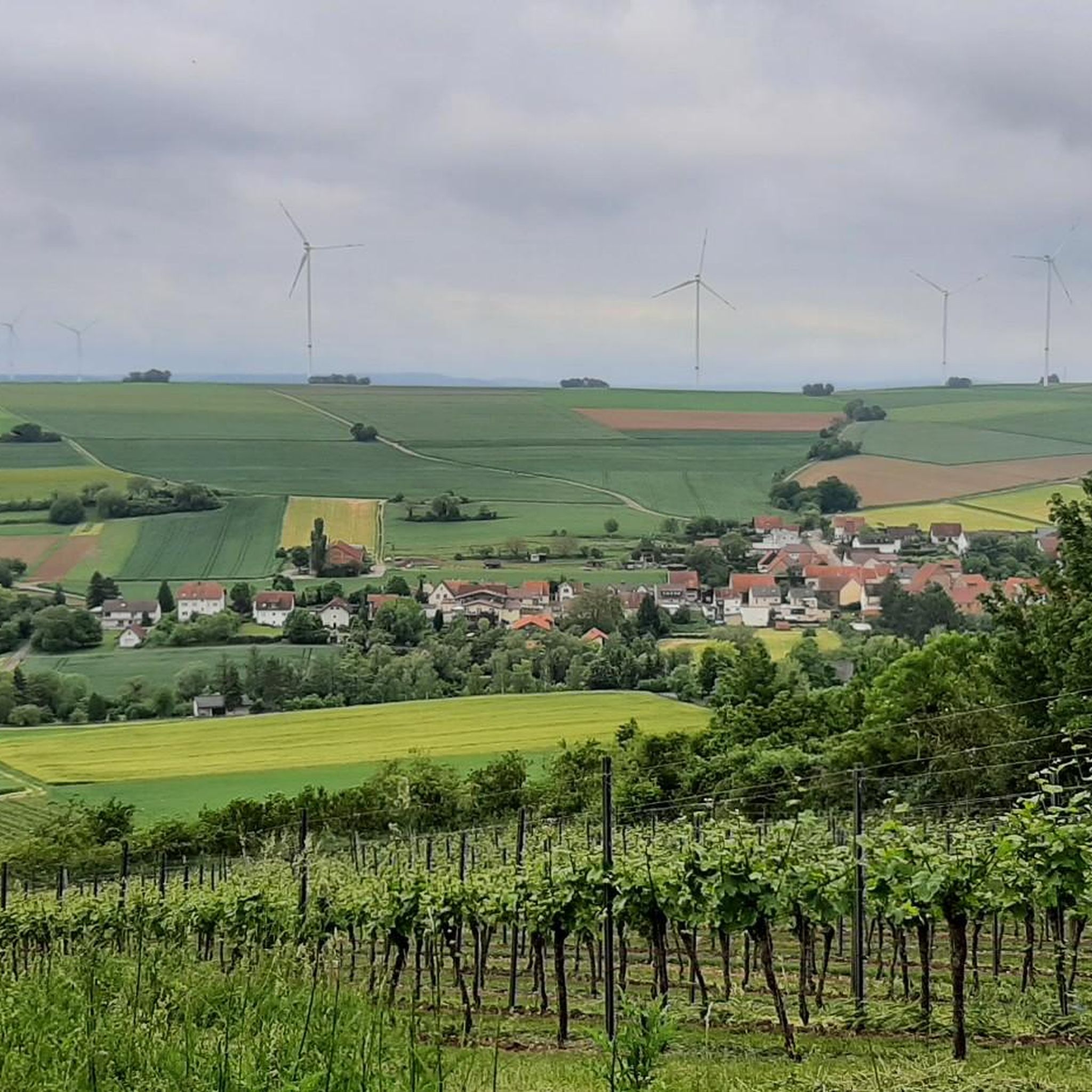
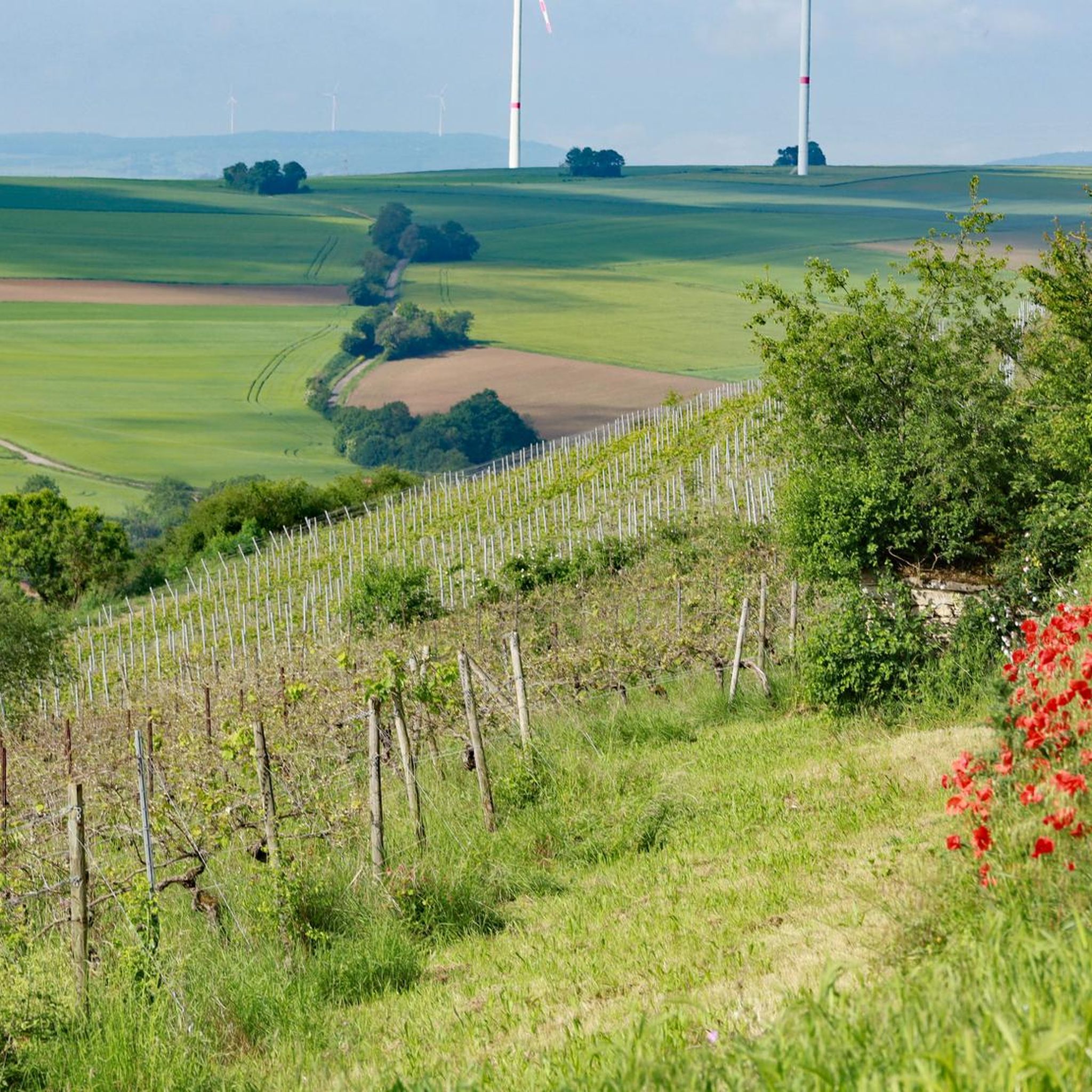
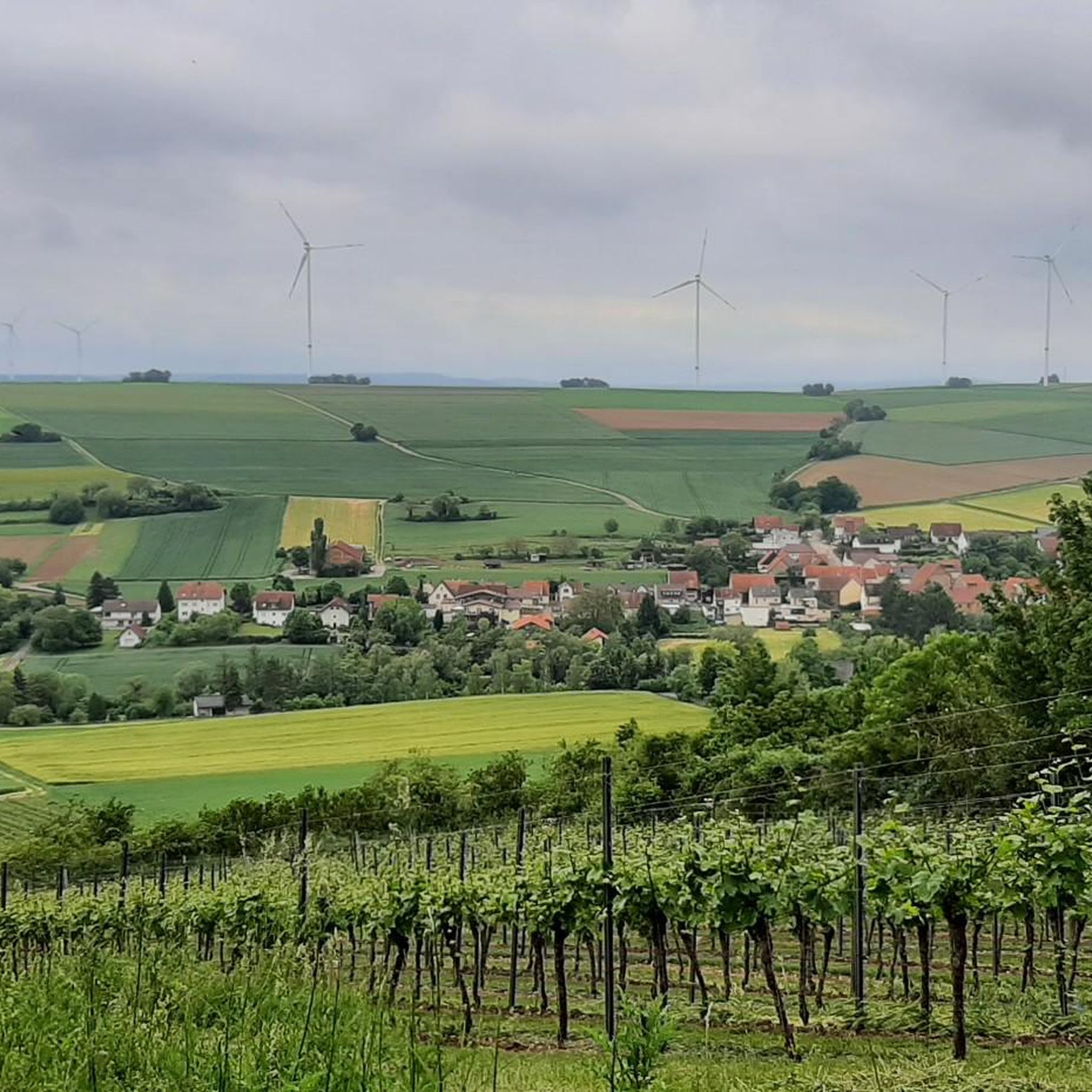
Gravel biking around Gauersheim offers routes through the diverse terrain of the Alzey Hills, situated at the foot of the Donnersberg, the highest mountain in the Palatinate. The region features a network of forest paths, dirt roads, and quiet country roads, providing varied surfaces for gravel riders. Riders can expect routes that traverse vineyards and hilly landscapes, characteristic of the Rhenish-Hessian Hills, with elevations and wide forest paths. This area provides a mix of ascents, descents, and scenic routes suitable…
Last updated: May 22, 2026
5.0
(1)
7
riders
39.4km
03:00
660m
660m
Hard gravel ride. Very good fitness required. Mostly paved surfaces. Suitable for all skill levels.
5
riders
46.4km
03:00
660m
660m
Hard gravel ride. Very good fitness required. Mostly paved surfaces. Suitable for all skill levels.

Sign up for free
4.0
(1)
6
riders
29.4km
01:44
240m
240m
Moderate gravel ride. Good fitness required. Mostly paved surfaces. Suitable for all skill levels.
5.0
(1)
4
riders
33.9km
02:18
530m
540m
Hard gravel ride. Very good fitness required. Mostly paved surfaces. Suitable for all skill levels.
6
riders
Hard gravel ride. Very good fitness required. Mostly paved surfaces. Suitable for all skill levels.
Get access to more routes and recommendations from other explorers.
Sign up for free
Already have an account?
Our route recommendations are based on thousands of hikes, rides, and runs completed by other people on komoot.
Start today with a free account
Your next adventure awaits.
Login or Signup
Tips from the Community

very beautiful old tree
0
0
Ideal for a photo
0
0
beautiful trail to the Donnersberg
0
0

Cool made looks great
0
0

You don't see a wall like this very often in flat country
6
0
Frequently Asked Questions
How many gravel bike trails are available around Gauersheim?
There are over 30 gravel bike trails around Gauersheim, offering a wide range of options for different skill levels. You'll find a mix of moderate and difficult routes to explore the region's diverse terrain.
What kind of terrain can I expect on gravel bike routes near Gauersheim?
Gravel biking around Gauersheim features diverse terrain, including forest paths, dirt roads, and quiet country roads. You'll also traverse vineyards and hilly landscapes characteristic of the Alzey Hills and the wider Rhenish-Hessian Hills, providing varied surfaces and elevation changes.
Are there any family-friendly gravel biking options in the Gauersheim area?
While many routes around Gauersheim are rated moderate to difficult, the region's network of quiet country roads and less challenging sections of cycle paths like the Zellertal Cycle Path can be adapted for family outings. Look for routes with minimal elevation gain and smoother surfaces for a more relaxed experience.
What are some notable natural features or landmarks I can see along the gravel routes?
Many routes offer views of the majestic Donnersberg, the highest mountain in the Palatinate. You can also discover highlights such as the Adlerbogen Viewpoint, the Königsstuhl (Donnersberg summit), and the Hirtenfels Viewpoint. Some routes also pass by historical sites like the Ruins of Rosenthal Monastery.
What do other gravel bikers enjoy most about riding in Gauersheim?
The komoot community highly rates the gravel biking experience in Gauersheim, with an average score of 4.8 stars from over 12 reviews. Riders often praise the varied terrain, the scenic views of the Donnersberg, and the extensive network of paths that allow for immersive rides through nature.
Are there any loop routes for gravel biking around Gauersheim?
Yes, many of the gravel routes around Gauersheim are designed as loops. For example, the View of Donnersberg – Appelbach Cycle Path loop from Göllheim-Dreisen offers a scenic circular ride through hilly terrain with rewarding vistas.
What is the best time of year for gravel biking in this region?
The region is generally pleasant for gravel biking from spring through autumn. Spring brings blooming vineyards, while autumn offers vibrant foliage. Summer can be warm, but forest paths provide shade. Winter conditions can vary, with potential for mud or snow on unpaved sections, so check local conditions.
Are there any long-distance gravel routes available?
Yes, for those seeking a longer challenge, routes like the Bockbach Valley Viaduct – Eistal Viaduct (Eistalviadukt) loop from Kirchheimbolanden cover extensive distances, featuring sections through valleys and past notable viaducts for a comprehensive gravel experience.
Where can I find parking for gravel biking near Gauersheim?
Gauersheim and surrounding villages typically offer public parking options suitable for cyclists. For specific routes, it's advisable to check the starting point of your chosen tour on komoot, as many start from towns like Kirchheimbolanden or Göllheim-Dreisen which have designated parking areas.
Can I access gravel biking routes in Gauersheim using public transport?
Gauersheim is connected by local public transport, and while direct access to trailheads might require a short ride, you can reach the general area by bus or train. Check regional transport schedules for services that accommodate bicycles, especially for connections to larger towns like Kirchheimbolanden, which serve as common starting points for tours.
Are there any cafes or places to rest along the gravel bike trails?
While the trails themselves often lead through natural landscapes, you'll find cafes, pubs, and restaurants in Gauersheim and the nearby villages. Many routes pass through or near these settlements, offering opportunities for refreshments and breaks. Some routes may also feature huts or shelters, such as the Keltenhütte or Kriegsberg Hut (PWV Göllheim), which can provide a resting spot.
What is the typical difficulty level of gravel routes in this area?
The gravel routes around Gauersheim primarily range from moderate to difficult. Many routes involve significant elevation changes due to the hilly terrain of the Alzey Hills and proximity to the Donnersberg, making them suitable for riders looking for a challenge.
Are there any routes that offer views of viaducts or other interesting structures?
Yes, some routes incorporate impressive engineering structures. For instance, the Pfrimmtal Viaduct Marnheim – Pfrimm Valley Viaduct loop from Kirchheimbolanden offers a ride that features views of these notable viaducts, adding a unique element to the scenic landscape.
Most popular routes around Gauersheim
Most popular attractions around Gauersheim

Get inspired with the komoot mobile app


Explore more
Browse the best Gravel rides in other regions.
