The best gravel rides around Würzweiler
4.6
(14)
53
riders
15
rides
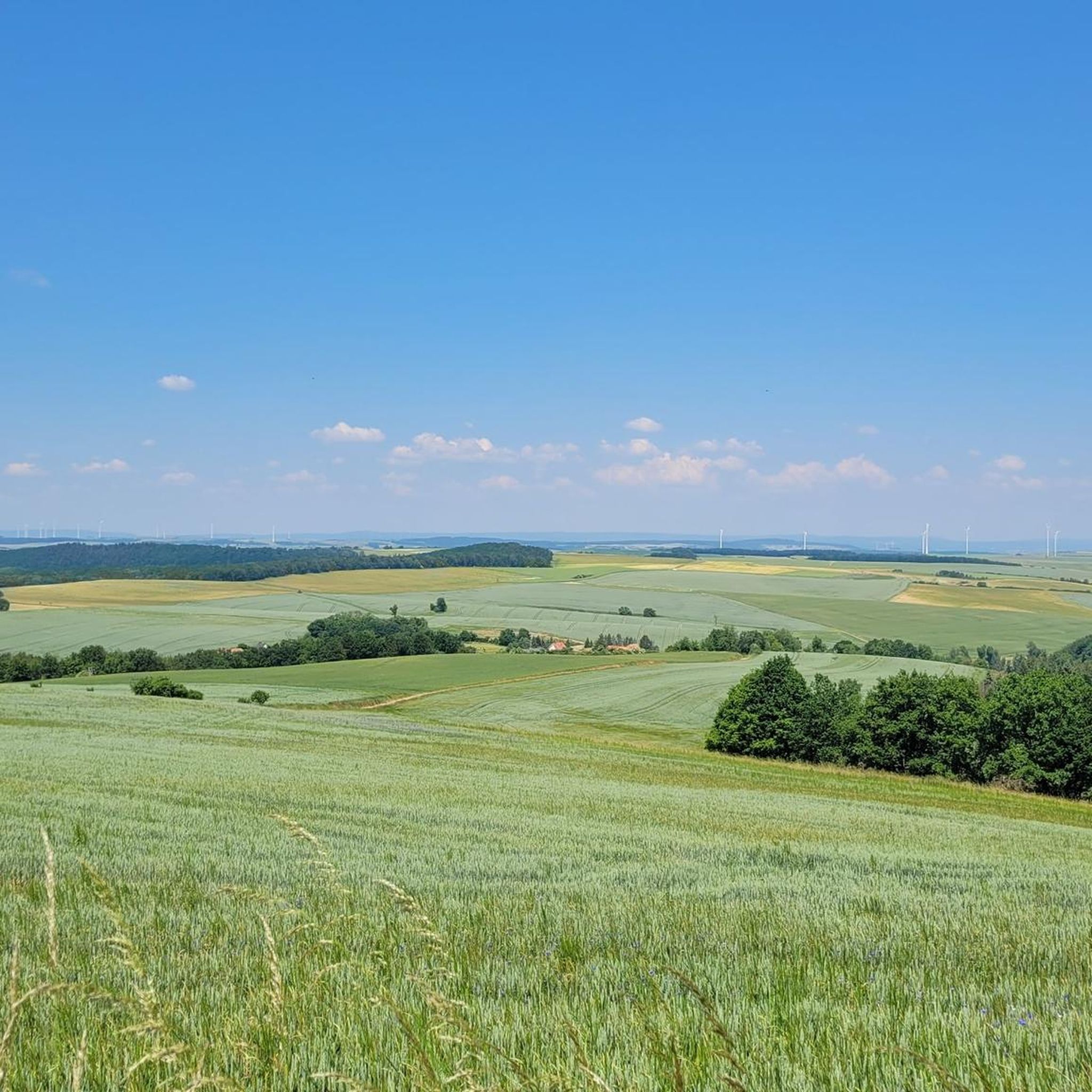
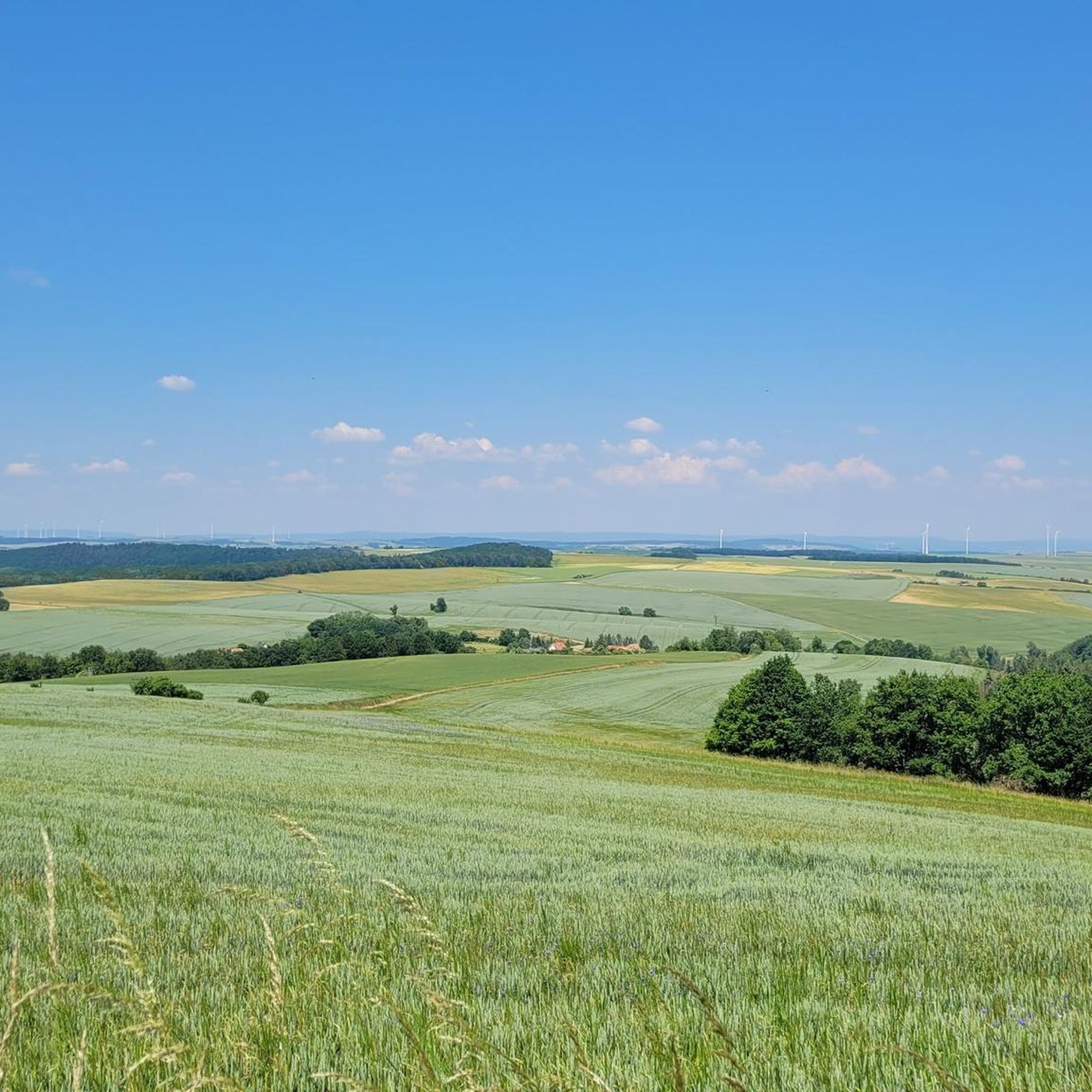
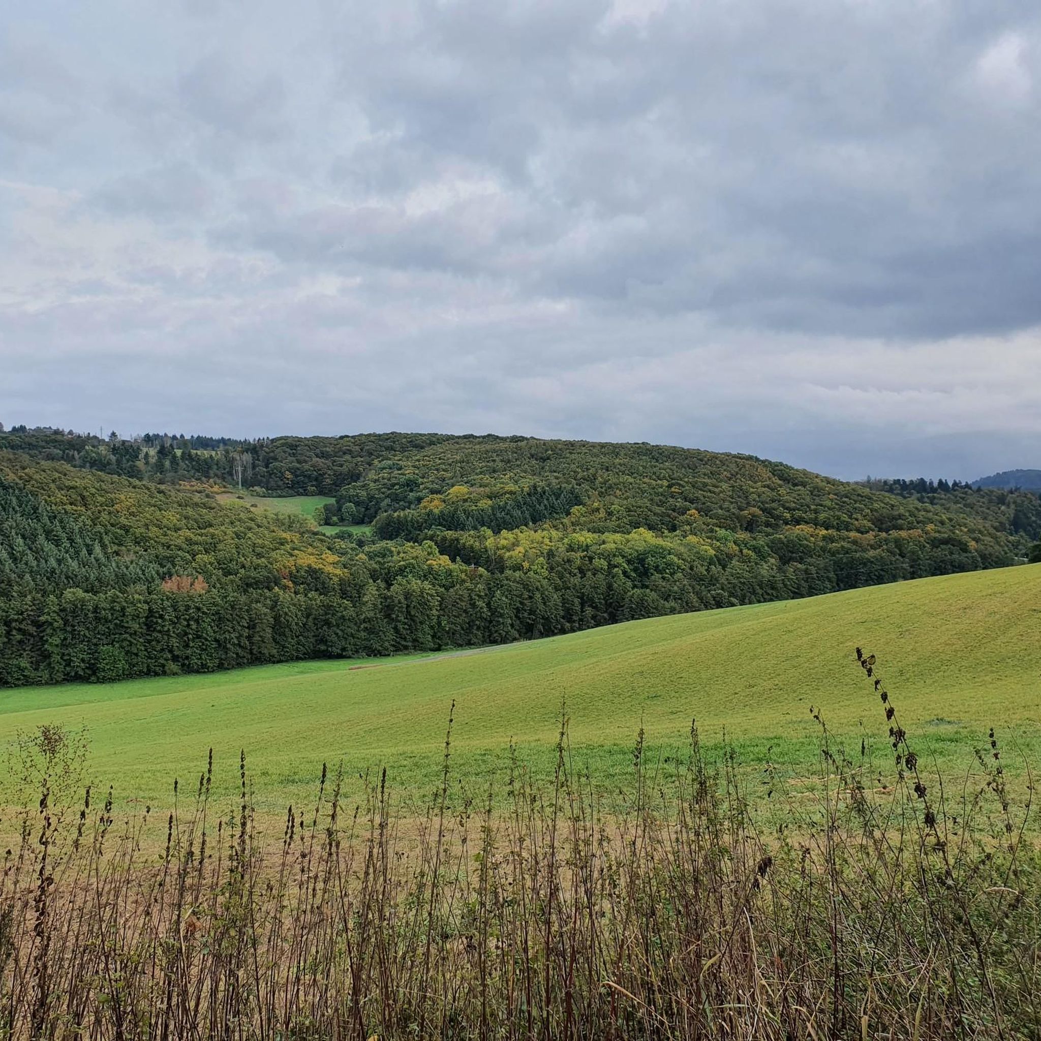
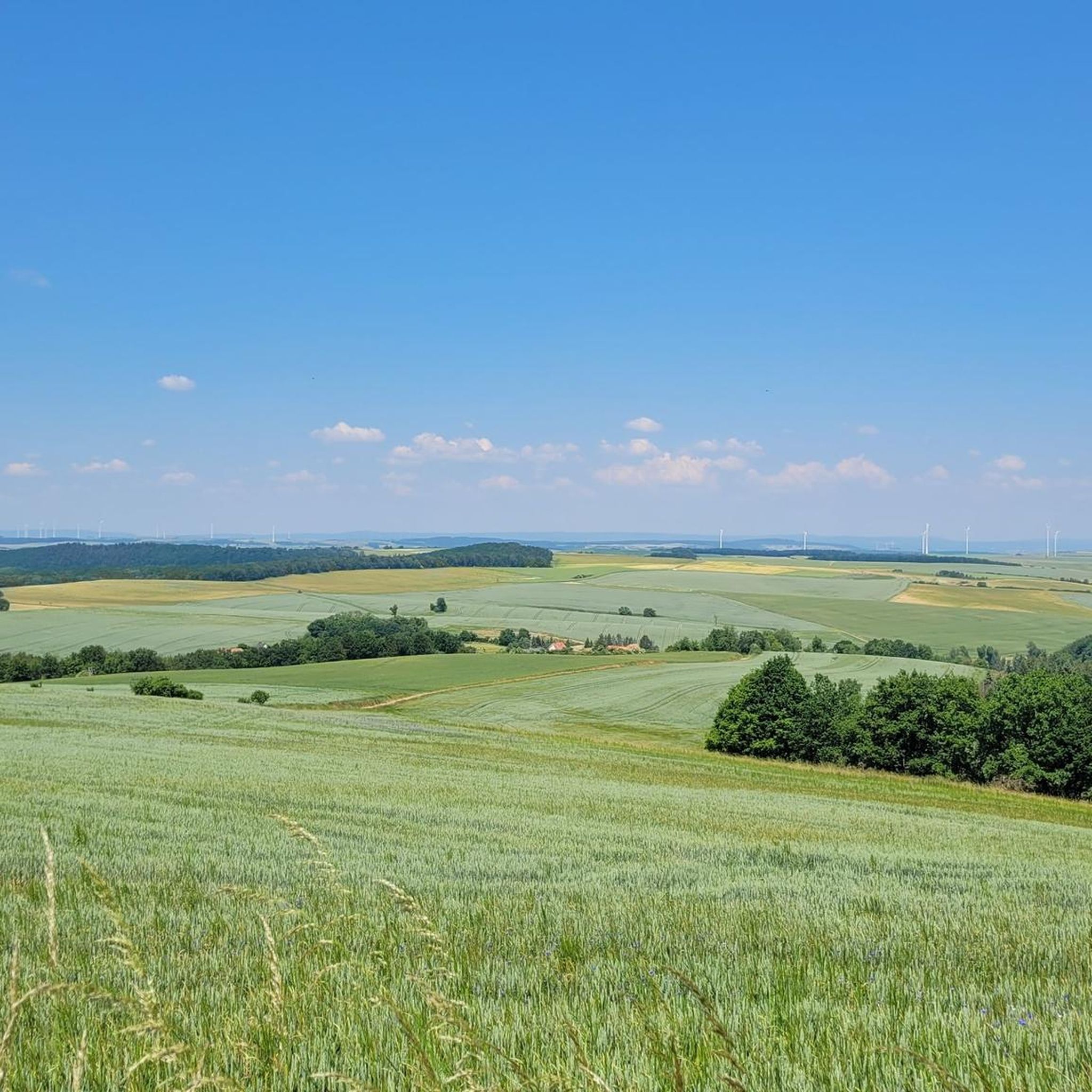
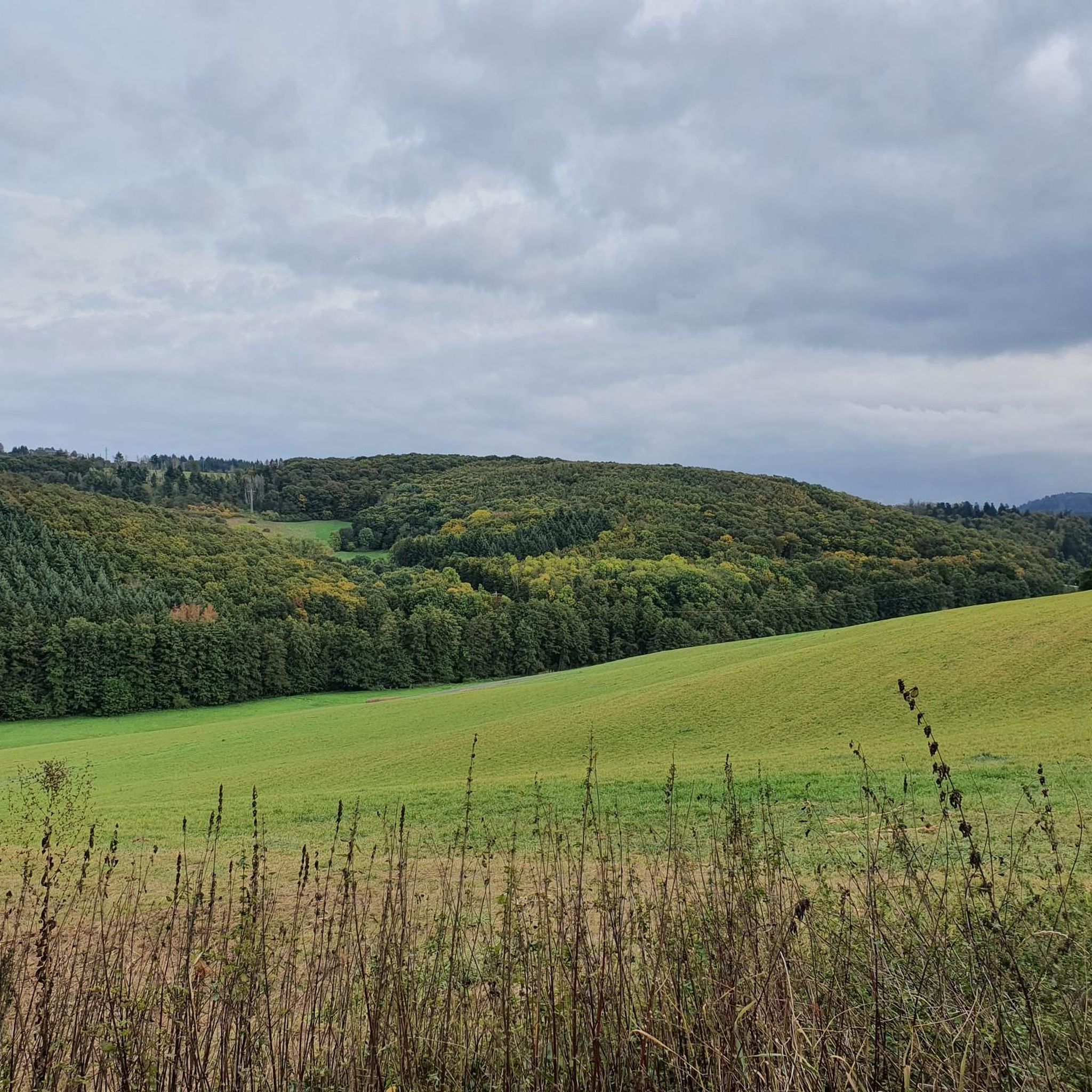
Gravel biking around Würzweiler offers diverse terrain within the Donnersbergkreis district of Rhineland-Palatinate, Germany. The region is characterized by the Donnersberg, the highest elevation in the Palatinate at 686 meters, providing varied topography including forests, valleys, and open areas. Riders can expect routes that traverse unpaved surfaces, including wild root paths and gravel roads, with elevation changes offering both climbs and descents. This landscape provides a suitable environment for gravel biking, with trails ranging from moderate to difficult.
Best gravel…
Last updated: July 2, 2026
4.8
(4)
12
riders
33.9km
02:09
370m
370m
Moderate gravel ride. Good fitness required. Mostly paved surfaces. Suitable for all skill levels.
5.0
(1)
3
riders
Hard gravel ride. Very good fitness required. Mostly paved surfaces. Suitable for all skill levels.

Sign up for free
2
riders
13.7km
01:09
310m
310m
Moderate gravel ride. Good fitness required. Mostly paved surfaces. Suitable for all skill levels.
4.3
(3)
5
riders
26.3km
01:40
300m
300m
Moderate gravel ride. Good fitness required. Mostly paved surfaces. Suitable for all skill levels.
5.0
(1)
1
riders
33.6km
02:36
700m
700m
Hard gravel ride. Very good fitness required. Mostly paved surfaces. Suitable for all skill levels.
Get access to more routes and recommendations from other explorers.
Sign up for free
Already have an account?
Our route recommendations are based on thousands of hikes, rides, and runs completed by other people on komoot.
Start today with a free account
Your next adventure awaits.
Login or Signup
Tips from the Community


We ate very good regional dishes here at fair prices.
0
0
great place to stop for refreshments https://www.retzberghuette.de/
0
0
very good water, some even get it for home :-)
0
0
nice path by bike
0
0
Frequently Asked Questions
How many gravel bike trails are available around Würzweiler?
The Würzweiler area offers a good selection of gravel bike trails, with over 30 routes available for exploration. These routes vary in length and difficulty, providing options for different skill levels.
What are the typical difficulty levels of gravel bike trails in the Würzweiler area?
Gravel bike trails around Würzweiler range from moderate to difficult. You'll find 6 moderate routes and 24 difficult routes, often featuring significant elevation changes and varied terrain like wild root paths and gravel roads.
Are there any beginner-friendly gravel routes near Würzweiler?
While many routes are moderate to difficult, some of the moderate trails can be suitable for beginners looking for a challenge. For instance, the Rockenhausen Castle – Meadow Path loop from Rockenhausen is a shorter, moderate option that leads through meadows and past historical sites.
What are some challenging gravel bike routes for experienced riders?
Experienced gravel bikers will find plenty of challenging options. The Hühnerberg Stone Marker – Ludwig Tower, Donnersberg loop from Rockenhausen is a difficult 17.1-mile (27.6 km) path with over 700 meters of elevation gain, passing by the Ludwig Tower on the Donnersberg. Another demanding route is the Uhu Trail – Bridge to Altenbaumburg Castle loop from Gerbach, which spans over 54 km with significant climbing.
What kind of landscapes can I expect on gravel bike trails around Würzweiler?
The region around Würzweiler is dominated by the Donnersberg, the highest peak in the Palatinate. You can expect diverse landscapes including dense forests, open valleys, and varied terrain with volcanic rock formations. Routes often traverse wild root paths, gravel roads, and grass-green meadows, offering picturesque views over the Zellertal and towards the Odenwald.
Are there any notable landmarks or viewpoints along the gravel bike trails?
Yes, the trails often pass by significant landmarks and offer stunning viewpoints. You might encounter the Adlerbogen Viewpoint, the summit of Königsstuhl (Donnersberg), or the Hirtenfels Viewpoint, all offering magnificent vistas. Historical sites like the Ruins of Falkenstein Castle are also accessible.
Can I find circular gravel bike routes in the region?
Yes, many of the gravel bike routes around Würzweiler are designed as loops, allowing you to start and end at the same point. Examples include the Wurzelbuche – Third Sippersfeld Pond loop from Winnweiler and the Hühnerberg Stone Marker – Ludwig Tower, Donnersberg loop from Rockenhausen.
What is the best time of year for gravel biking around Würzweiler?
The diverse terrain around Würzweiler is enjoyable throughout much of the year. Spring and autumn offer pleasant temperatures and vibrant scenery, while summer provides longer daylight hours. Winter riding is possible, but some paths might be muddy or icy, especially at higher elevations on the Donnersberg.
Is there public transport access to the gravel biking trails near Würzweiler?
While Würzweiler itself is a smaller village, the broader Donnersbergkreis district has public transport connections. It's advisable to check local bus and train schedules for access points to towns like Rockenhausen or Winnweiler, which serve as starting points for many routes.
Where can I park my car when gravel biking in Würzweiler?
Many gravel routes start from nearby towns such as Rockenhausen or Winnweiler, where public parking is generally available. It's recommended to check specific starting points for designated parking areas or roadside parking options before your ride.
What do other gravel bikers say about the trails in Würzweiler?
The gravel biking routes around Würzweiler are highly rated by the komoot community, with an average score of 4.4 stars from over 16 reviews. Riders often praise the varied terrain, the challenging climbs, and the rewarding views from the Donnersberg.
Are there any longer gravel routes for extended rides?
For longer adventures, routes like the Falkenstein Gorge – Ruins of Falkenstein Castle loop from Kalkofen offer a substantial ride of over 66 km with nearly 800 meters of elevation gain, providing a full day out on the gravel bike.
What makes the Donnersberg region unique for gravel biking?
The Donnersberg region stands out for its unique combination of volcanic landscapes, dense forests, and open valleys. The varied topography, from challenging ascents to scenic descents on unpaved surfaces, provides a dynamic and engaging experience for gravel bikers, complemented by historical landmarks and panoramic views.
Most popular attractions around Würzweiler

Get inspired with the komoot mobile app


Explore more
Browse the best Gravel rides in other regions.
