The best gravel rides around Bayerfeld-Steckweiler
4.8
(6)
50
riders
21
rides
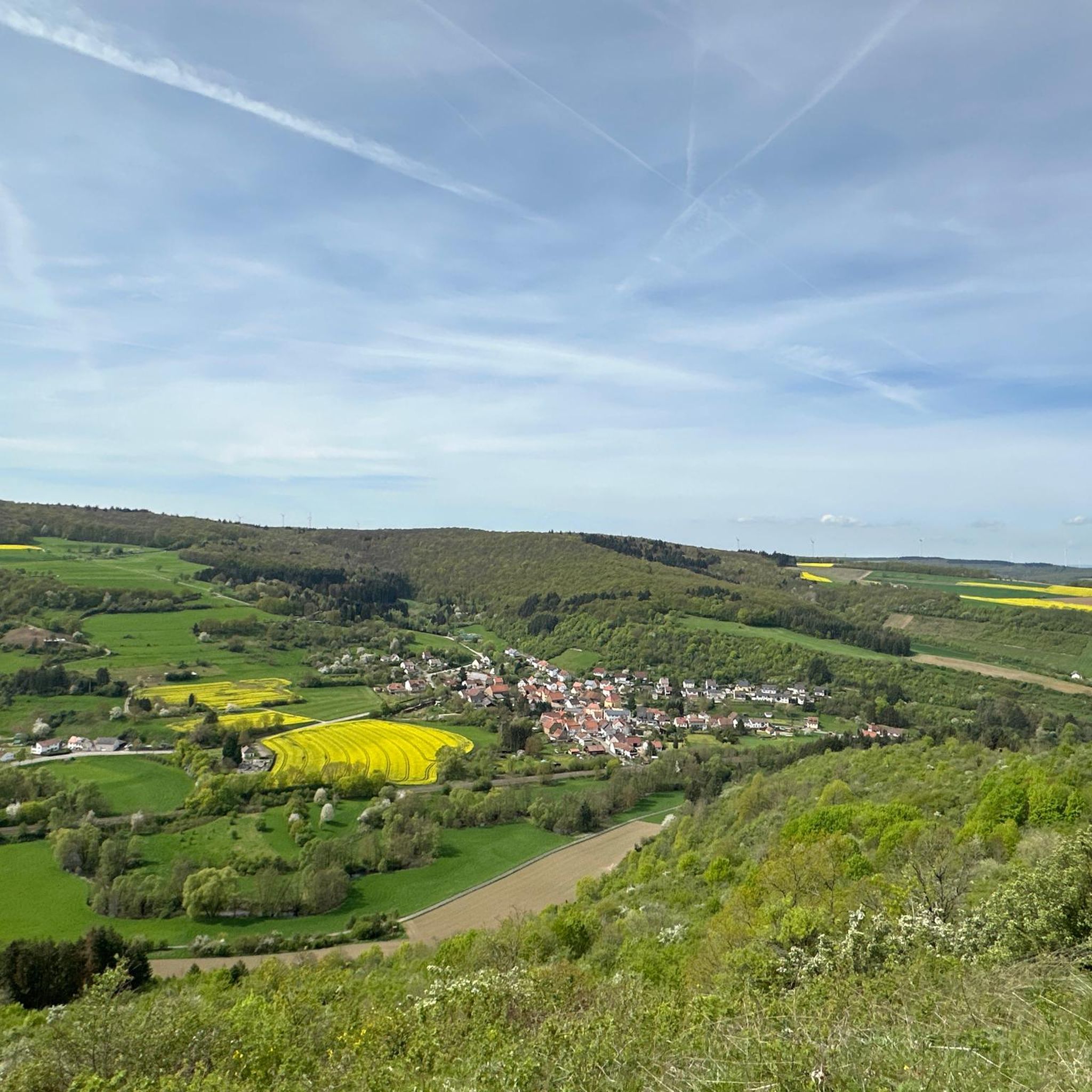
Gravel biking around Bayerfeld-Steckweiler offers a diverse landscape characterized by river valleys, vineyards, and historical landmarks. The region features a mix of rolling hills and more challenging ascents, with routes often traversing agricultural lands and forested sections. Physical features include prominent cliffs, such as Rotenfels Cliff, and views of castles, providing varied terrain for gravel cyclists. The area's network of paths connects natural scenery with cultural points of interest, including the Donnersberg, the highest elevation in the Palatinate.
Best gravel bike trails around Bayerfeld-Steckweiler
- The most popular gravel bike trail is View of Ebernburg Castle – View of Rotenfels Cliff loop from Altenbamberg, a 20.3 miles (32.6 km) trail that takes 2 hours 10 minutes to complete. This moderate route offers views of historical sites and natural rock formations.
- Another top favourite among local gravel bikers is Nahe Wine Region Vineyards – View of Rotenfels Cliff loop from Obermoschel, a difficult 32.8 miles (52.8 km) path. This route traverses the Nahe Wine Region, providing scenic vineyard landscapes and cliffside vistas.
- Local gravel bikers also love the Glan-Blies Cycle Path – Glan Bridge in Wiesweiler loop from Lettweiler, a 29.0 miles (46.7 km) trail leading through river valleys and rural areas, often completed in about 3 hours 15 minutes.
- Gravel biking around Bayerfeld-Steckweiler is defined by vineyard trails, river valley paths, and routes offering views of cliffs and castles. The network provides options for both moderate and challenging ability levels.
- The routes in Bayerfeld-Steckweiler are highly rated by the komoot community with an average score of 4.8 stars from over 6 reviews. More than 50 gravel bikers have used komoot to explore Bayerfeld-Steckweiler's varied terrain.
Last updated: May 21, 2026
5.0
(1)
3
riders
Hard gravel ride. Very good fitness required. Mostly paved surfaces. Suitable for all skill levels.
7
riders
55.2km
03:25
620m
620m
Hard gravel ride. Very good fitness required. Mostly paved surfaces. Suitable for all skill levels.

Sign up for free
2
riders
13.7km
01:09
310m
310m
Moderate gravel ride. Good fitness required. Mostly paved surfaces. Suitable for all skill levels.
1
riders
19.4km
01:36
400m
400m
Hard gravel ride. Good fitness required. You may need to push your bike for some segments of this route.
5.0
(1)
1
riders
33.6km
02:36
700m
700m
Hard gravel ride. Very good fitness required. Mostly paved surfaces. Suitable for all skill levels.
Get access to more routes and recommendations from other explorers.
Sign up for free
Already have an account?
Our route recommendations are based on thousands of hikes, rides, and runs completed by other people on komoot.
Start today with a free account
Your next adventure awaits.
Login or Signup
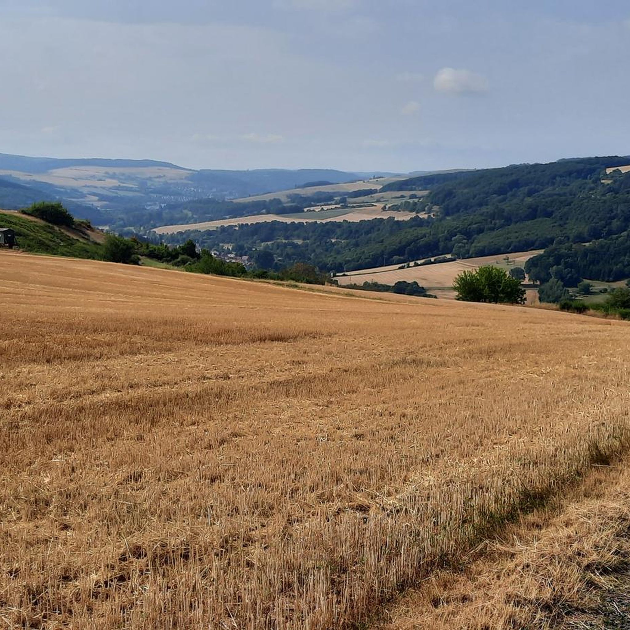
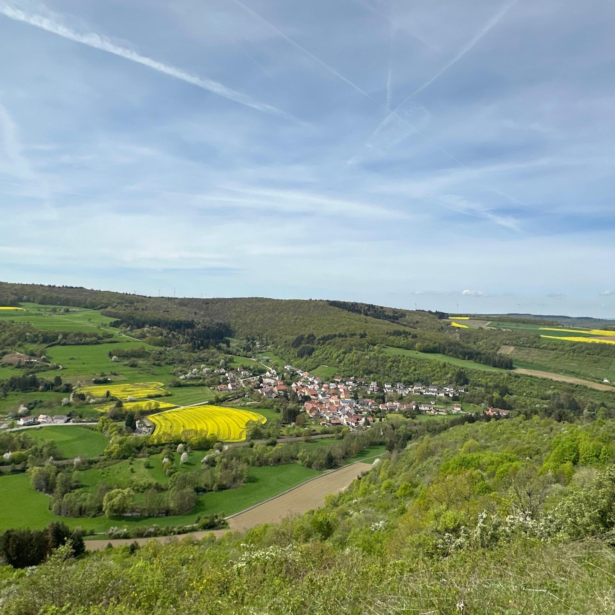
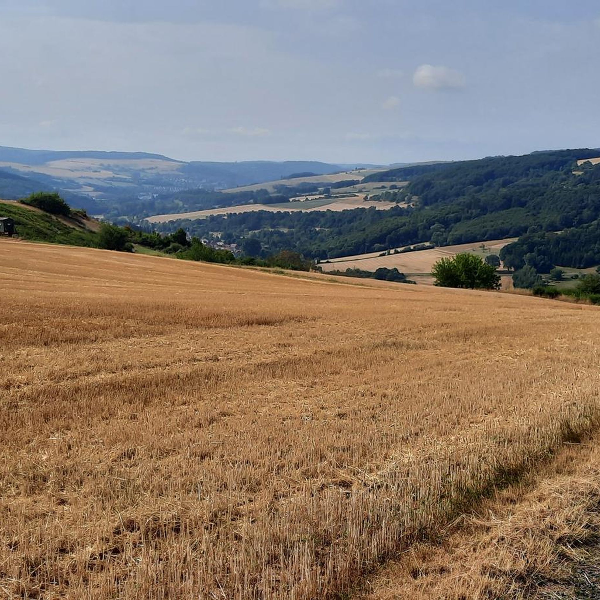
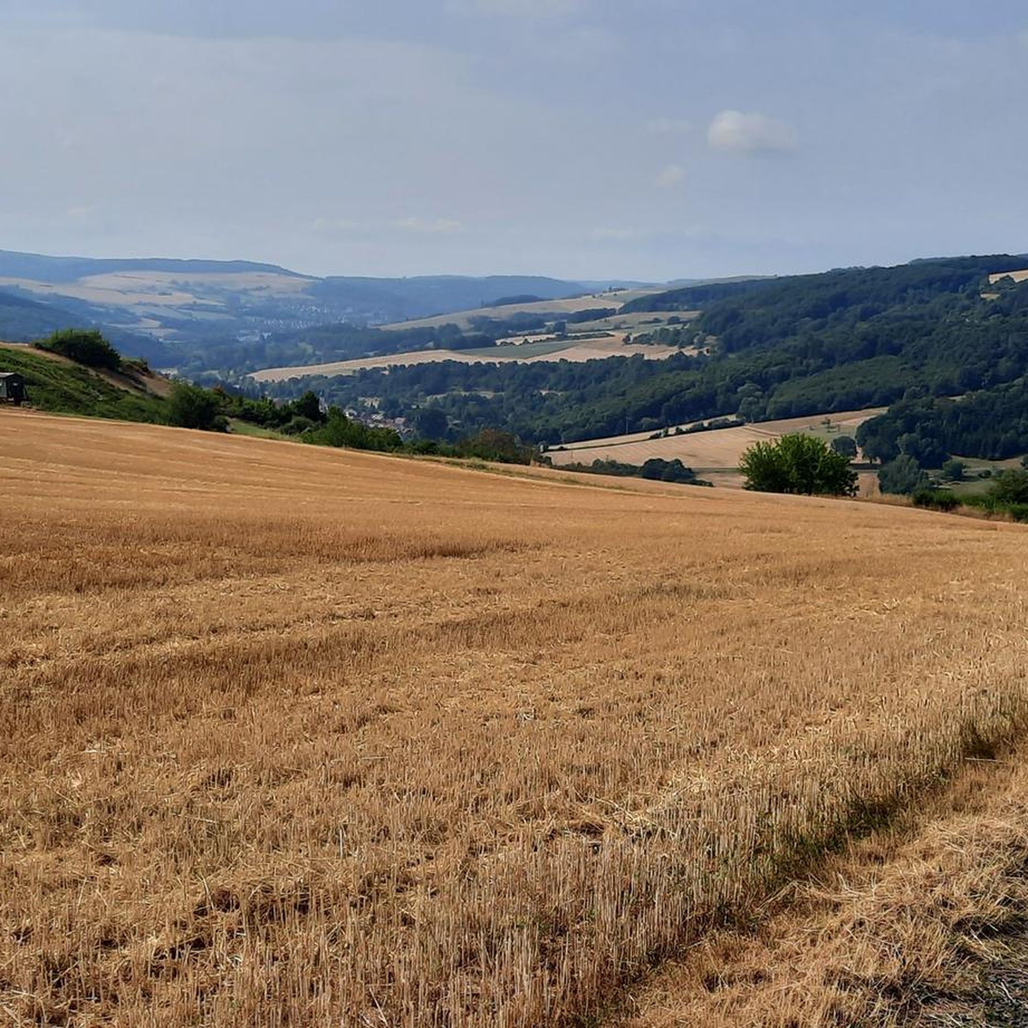
Tips from the Community

beautiful view but not recommended for eating
0
0

Very nice view from here
0
0

Great view over Schallodenbach
1
0

Great routes, there is always something new to discover
0
0

These sculptures can be found at the market square
0
0

Great vantage point with a view of the Donnersberg
1
0
Frequently Asked Questions
How many gravel bike trails are there in Bayerfeld-Steckweiler?
There are over 35 gravel bike trails available around Bayerfeld-Steckweiler, offering a wide range of options for different skill levels. You'll find a mix of moderate and challenging routes traversing the region's diverse landscape.
What is the best time of year for gravel biking in Bayerfeld-Steckweiler?
The region's landscape, characterized by vineyards and river valleys, is particularly enjoyable in spring and autumn when the weather is mild and the scenery is vibrant. Summer can also be pleasant, but be prepared for warmer temperatures, especially on routes traversing open agricultural lands.
Are there challenging gravel bike trails in the area?
Yes, Bayerfeld-Steckweiler offers many challenging gravel bike trails. In fact, 30 out of the 37 available routes are rated as difficult, featuring significant ascents and longer distances. An example is the Nahe Wine Region Vineyards – View of Rotenfels Cliff loop from Obermoschel, which covers 32.8 miles (52.8 km) with substantial elevation gain.
Are there easier gravel bike routes for beginners?
While many routes are challenging, there are also moderate options suitable for beginners or those looking for a less strenuous ride. There are 7 moderate routes available. The Rockenhausen Castle – Meadow Path loop from Rockenhausen is a good example, offering a 13.7 miles (22 km) ride with manageable elevation.
Are there circular gravel bike routes around Bayerfeld-Steckweiler?
Many of the gravel bike routes in the region are designed as loops, allowing you to start and end at the same point. For instance, the popular View of Ebernburg Castle – View of Rotenfels Cliff loop from Altenbamberg is a circular route offering scenic views.
What kind of terrain can I expect on the gravel bike trails?
The gravel bike trails around Bayerfeld-Steckweiler feature a varied terrain. You'll encounter a mix of river valleys, vineyard trails, and forested sections. Expect rolling hills and some challenging ascents, often with views of prominent cliffs and historical castles.
What are some interesting places to explore near the gravel bike trails?
Along and near the gravel bike trails, you can explore several interesting landmarks and natural features. Notable attractions include the Ludwig Tower, Donnersberg, offering panoramic views, and the historic Meisenheim Old Town. The Silver Lake (Lemberg Nature Reserve) is also a beautiful spot to visit.
Is parking available near the gravel bike trails?
Parking is generally available in the towns and villages that serve as starting points for many of the routes, such as Altenbamberg, Obermoschel, and Rockenhausen. Look for designated parking areas or public parking lots, especially near trailheads or local amenities.
What do other gravel bikers enjoy about the routes in Bayerfeld-Steckweiler?
The routes in Bayerfeld-Steckweiler are highly rated by the komoot community, with an average score of 4.0 stars from over 5 reviews. Gravel bikers often praise the diverse landscape, the combination of natural scenery with cultural points of interest like castles and vineyards, and the variety of options for both moderate and challenging rides.
Are there any less-known or 'hidden gem' gravel trails in the region?
While many routes offer stunning scenery, exploring trails slightly off the main popular paths can reveal hidden gems. Consider routes that traverse the quieter parts of the Glan-Blies Cycle Path, such as the Glan-Blies Cycle Path – Glan Bridge in Wiesweiler loop from Lettweiler, which offers a peaceful ride through river valleys and rural areas.
Can I bring my dog on the gravel trails?
Many gravel trails in natural areas are dog-friendly, but it's always recommended to keep your dog on a leash, especially in agricultural areas, near livestock, or in nature reserves. Always check local regulations or specific trail signage for any restrictions before you go.
Are there places to stop for refreshments or cafes along the routes?
Given the region's vineyard landscapes and charming villages, you'll often find opportunities for refreshments. Many routes pass through or near towns like Obermoschel or Rockenhausen, where cafes and restaurants are available. Planning your route with komoot allows you to identify potential stops along the way.
Most popular routes around Bayerfeld-Steckweiler
Most popular attractions around Bayerfeld-Steckweiler

Get inspired with the komoot mobile app


Explore more
Browse the best Gravel rides in other regions.
