The best gravel rides around Waldgrehweiler
4.8
(5)
42
riders
17
rides
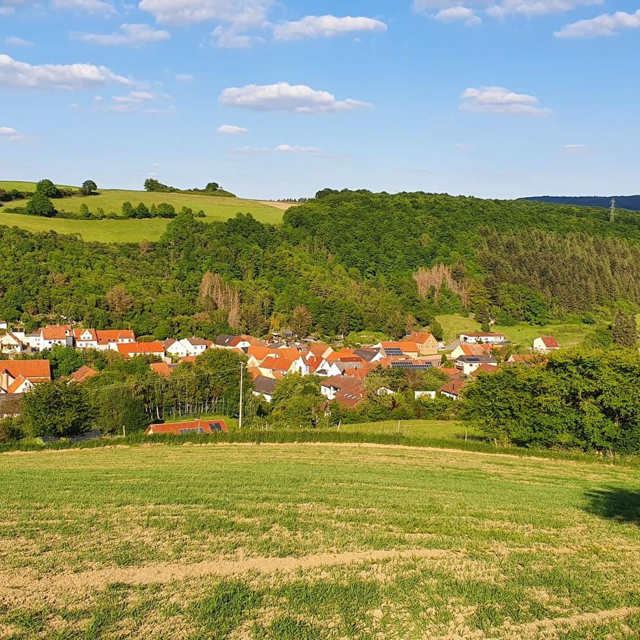
Gravel biking around Waldgrehweiler offers routes through a landscape characterized by rolling hills, river valleys, and agricultural areas. The region features a mix of vineyards, forested sections, and open meadows, providing varied terrain for gravel cyclists. Elevations typically involve moderate climbs and descents, with some routes reaching higher points like the Donnersberg, the highest mountain in the Palatinate region.
Best gravel bike trails around Waldgrehweiler
- The most popular gravel bike trail is Hühnerberg Stone Marker – Ludwig Tower, Donnersberg loop…
Last updated: May 21, 2026
5.0
(1)
3
riders
Hard gravel ride. Very good fitness required. Mostly paved surfaces. Suitable for all skill levels.
7
riders
55.2km
03:25
620m
620m
Hard gravel ride. Very good fitness required. Mostly paved surfaces. Suitable for all skill levels.

Sign up for free
2
riders
13.7km
01:09
310m
310m
Moderate gravel ride. Good fitness required. Mostly paved surfaces. Suitable for all skill levels.
5.0
(1)
1
riders
33.6km
02:36
700m
700m
Hard gravel ride. Very good fitness required. Mostly paved surfaces. Suitable for all skill levels.
4.0
(2)
3
riders
41.4km
02:42
660m
660m
Hard gravel ride. Very good fitness required. Mostly paved surfaces. Suitable for all skill levels.
Get access to more routes and recommendations from other explorers.
Sign up for free
Already have an account?
Our route recommendations are based on thousands of hikes, rides, and runs completed by other people on komoot.
Start today with a free account
Your next adventure awaits.
Login or Signup
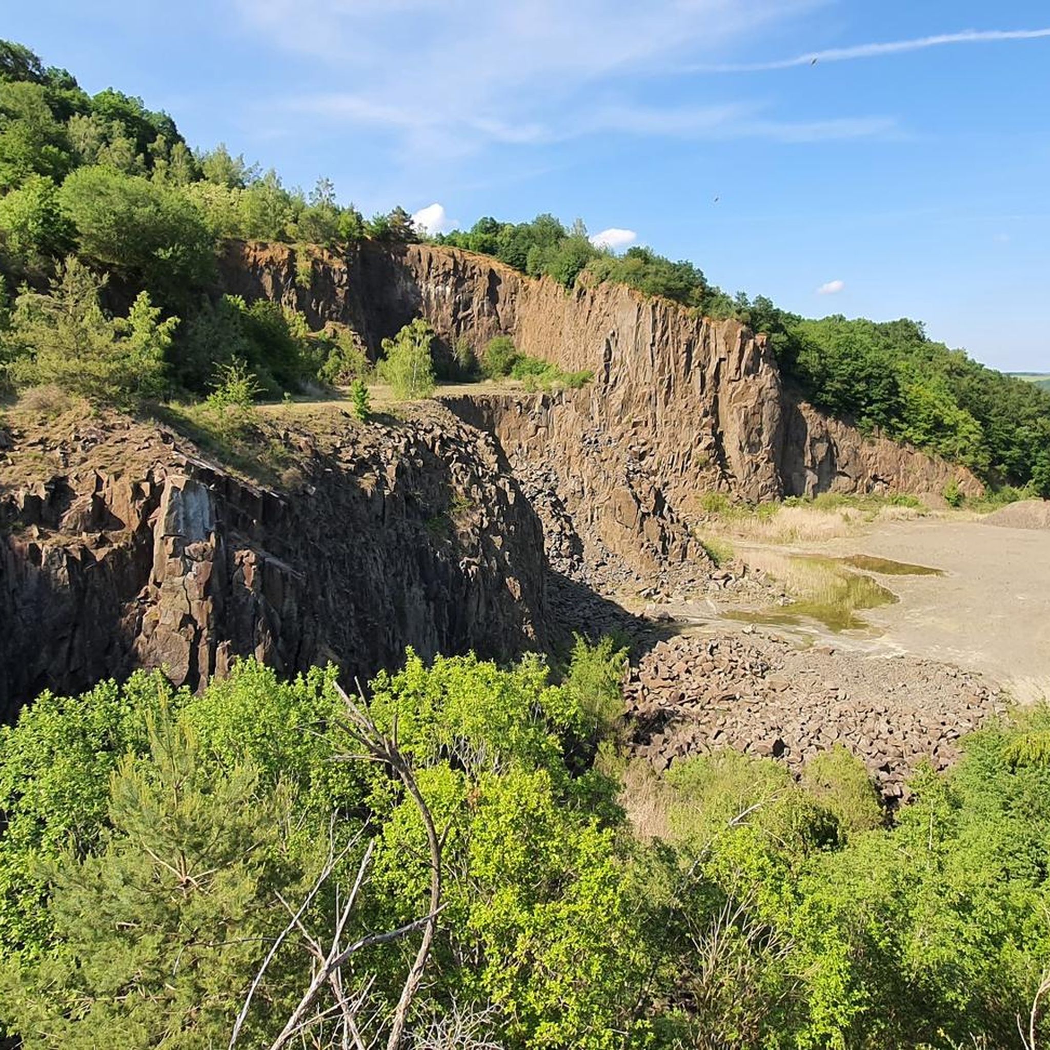
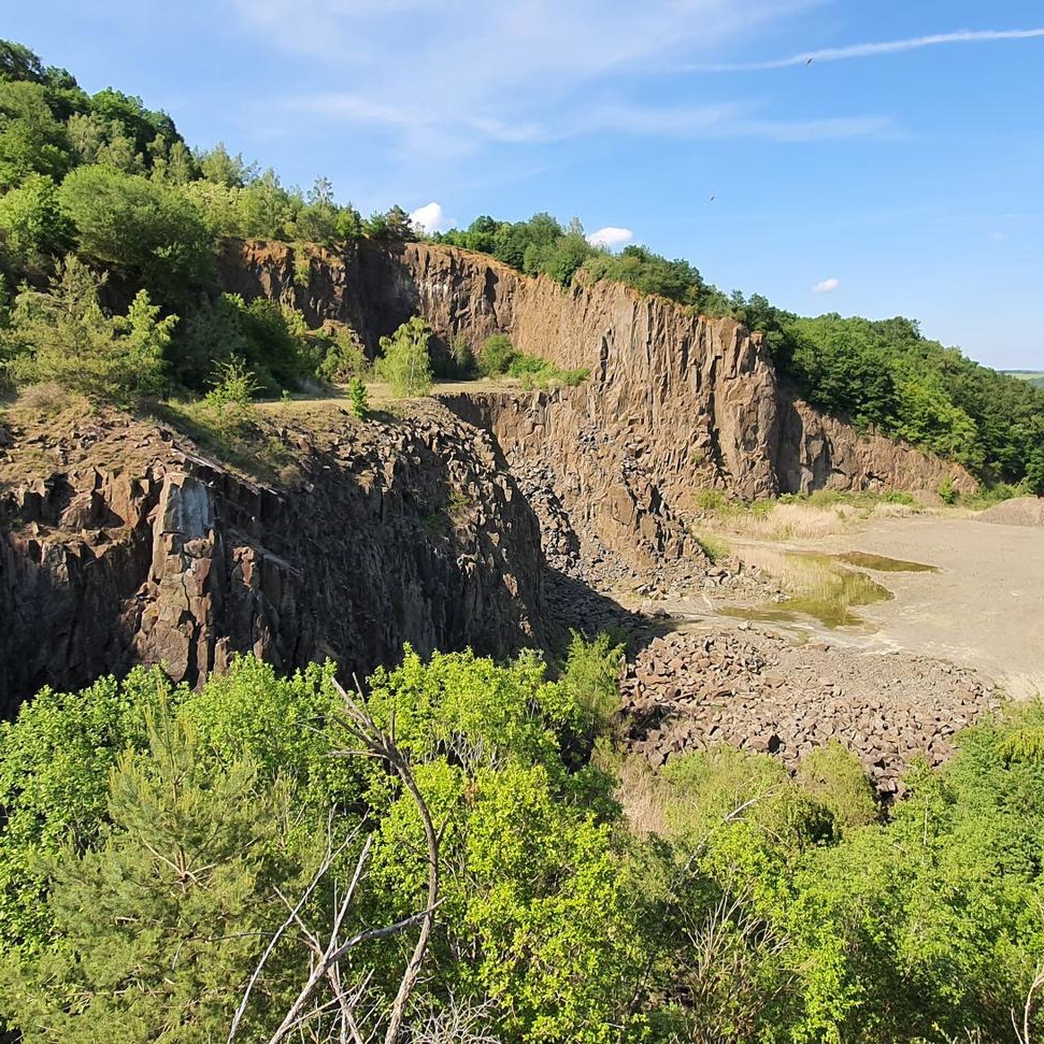
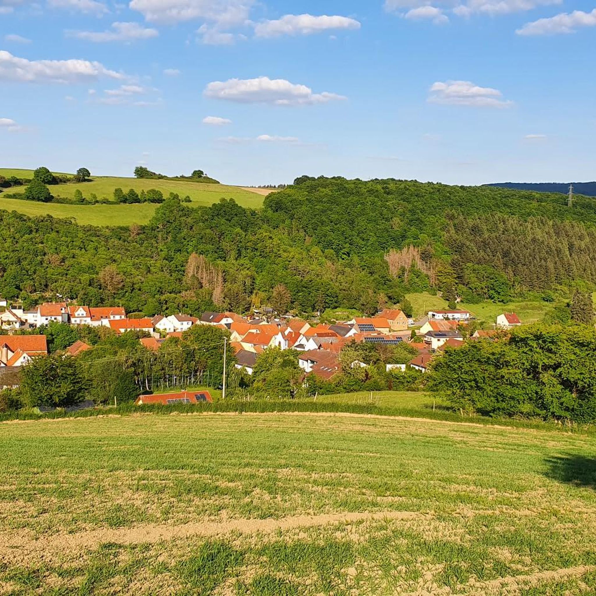
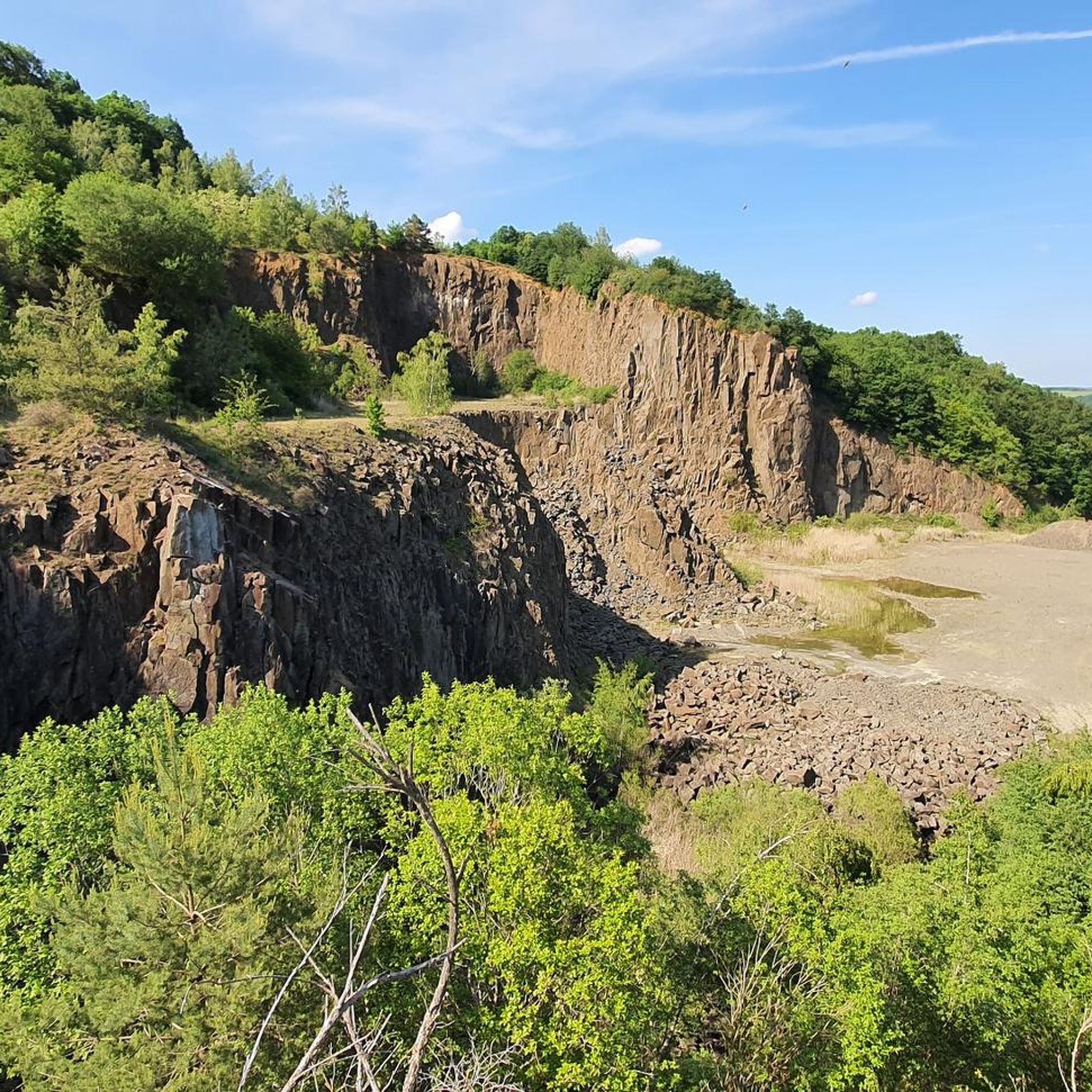
Tips from the Community

beautiful view but not recommended for eating
0
0

Very nice view from here
0
0

Great view over Schallodenbach
1
0

The tower is located in the Schillerhain district. Also nearby are the impressive Schneckentürmchen (Snail Tower) and the Wasserturm (Water Tower).
3
0

Great routes, there is always something new to discover
0
0

These sculptures can be found at the market square
0
0
Frequently Asked Questions
Are there easy gravel bike trails around Waldgrehweiler for beginners?
While the majority of gravel routes in Waldgrehweiler are rated as difficult, there are a few moderate options suitable for those looking for a less strenuous ride. For example, the Rockenhausen Castle – Meadow Path loop from Rockenhausen is a moderate 13.7 km route that offers a good introduction to the region's gravel biking.
What are the more challenging gravel bike routes in the region?
Waldgrehweiler is well-suited for experienced gravel bikers, with 26 out of 33 routes rated as difficult. A particularly extensive and challenging option is the Vogelwoog – Seewoog Miesenbach loop from Lohnweiler, which spans over 90 km and involves significant elevation changes.
Are there any circular gravel bike routes in Waldgrehweiler?
Yes, many of the gravel bike routes in the Waldgrehweiler area are designed as loops, allowing you to start and finish at the same point. Examples include the Nahe Wine Region Vineyards – View of Rotenfels Cliff loop from Obermoschel and the Glan-Blies Cycle Path – Glan Bridge in Wiesweiler loop from Lettweiler.
How long do gravel bike rides typically take around Waldgrehweiler?
The duration of gravel bike rides in Waldgrehweiler varies significantly depending on the route's length and difficulty. Shorter, moderate routes like the Rockenhausen Castle – Meadow Path loop from Rockenhausen can be completed in just over an hour, while longer, difficult tours such as the Vogelwoog – Seewoog Miesenbach loop from Lohnweiler can take nearly six hours.
What kind of terrain can I expect on gravel bike trails near Waldgrehweiler?
The terrain around Waldgrehweiler is diverse, featuring rolling hills, picturesque river valleys, and expansive agricultural areas. You'll encounter a mix of vineyards, dense forested sections, and open meadows. The paths include established cycle paths and rural tracks, with moderate climbs and descents, and some routes reaching higher points like the Donnersberg.
What can I see along the gravel bike trails in Waldgrehweiler?
The region offers a variety of natural and historical sights. Along your rides, you might encounter impressive natural monuments like the German Sandstone Park Alsenz or the ancient Stahlberg Menhir. For history enthusiasts, there are several castles and ruins, such as the Moschellandsburg Ruins or the Reipoltskirchen Water Castle.
Are there any viewpoints on the gravel bike routes around Waldgrehweiler?
Yes, many routes offer scenic viewpoints, especially those traversing vineyards or higher elevations. For instance, the Nahe Wine Region Vineyards – View of Rotenfels Cliff loop from Obermoschel provides stunning vistas of the Rotenfels Cliff, while routes ascending towards the Donnersberg offer panoramic views of the surrounding landscape.
What do other gravel bikers enjoy the most about gravel biking in Waldgrehweiler?
The komoot community highly rates the gravel biking experience in Waldgrehweiler, with an average score of 4.2 stars from over 8 reviews. Riders often praise the varied landscapes, which include vineyards, river valleys, and forested hills, as well as the diverse network of paths suitable for different ability levels.
When is the best time of year for gravel biking in Waldgrehweiler?
The region's rolling hills, vineyards, and forests make it enjoyable for gravel biking across multiple seasons. Spring and autumn offer pleasant temperatures and vibrant scenery, while summer provides longer daylight hours. Even in winter, some routes may be accessible, though conditions can vary, especially on higher ground or after rainfall.
Are there options for parking near the gravel bike trails in Waldgrehweiler?
Yes, many gravel bike routes in the Waldgrehweiler area start from towns and villages that offer public parking facilities. For specific routes, it's advisable to check the tour details on komoot, as starting points often indicate convenient parking locations.
Can I find cafes or places to stop for refreshments along the gravel bike routes?
Given the routes often pass through or near villages and towns, you can typically find opportunities for refreshments. Especially in areas known for vineyards, there might be local establishments or 'Straußwirtschaften' (seasonal wine taverns) where you can stop. Planning your route with komoot allows you to identify potential stops along the way.
Most popular routes around Waldgrehweiler
Most popular attractions around Waldgrehweiler

Get inspired with the komoot mobile app


Explore more
Browse the best Gravel rides in other regions.
