The best gravel rides around Hirschthal
4.7
(69)
429
riders
50
rides
Gravel biking around Hirschthal offers a diverse landscape characterized by dense woodlands, rolling hills, and a network of paths suitable for off-road cycling. The region features varied terrain, including forest tracks and unpaved roads, providing a range of experiences for gravel bikers. Elevation changes are present throughout the area, with routes navigating through valleys and over moderate ascents.
Best gravel bike trails around Hirschthal
- The most popular gravel bike trail is Gräfenstein Castle Ruins – Drachenfels Castle near Busenberg loop from Bundenthal-Rumbach, a 37.6 miles (60.5 km) trail that takes about 4 hours 7 minutes to complete. This route includes challenging climbs and passes by historical castle ruins.
- Another top favourite among local gravel bikers is Klingelfels Rock Formation – Fleckenstein Pond loop from Niedersteinbach, a difficult 23.1 miles (37.1 km) path. This route features significant elevation gain and varied terrain.
- Local gravel bikers also love the Wolfsägertal Ponds – Moosbach Valley loop from Fischbach bei Dahn, a 19.0 miles (30.6 km) trail leading through forested areas and offering varied terrain, often completed in about 2 hours.
- Gravel biking around Hirschthal is defined by dense woodlands, varied forest tracks, and moderate elevation changes. The network offers options for different ability levels, from easier paths to more challenging routes.
- The routes in Hirschthal are highly rated by the komoot community with an average score of 4.6 stars from over 10 reviews. More than 100 gravel bikers have used komoot to explore Hirschthal's varied terrain.
Last updated: August 12, 2026
4.5
(2)
17
riders
37.1km
02:29
470m
470m
Hard gravel ride. Very good fitness required. Mostly paved surfaces. Suitable for all skill levels.
4.0
(1)
9
riders
60.6km
04:07
1,010m
1,010m
Hard gravel ride. Very good fitness required. Mostly paved surfaces. Suitable for all skill levels.

Sign up for free
5.0
(1)
3
riders
36.5km
03:00
630m
630m
Hard gravel ride. Very good fitness required. Mostly paved surfaces. Suitable for all skill levels.
5.0
(1)
7
riders
Hard gravel ride. Very good fitness required. Mostly paved surfaces. Suitable for all skill levels.
5
riders
33.6km
02:45
640m
640m
Hard gravel ride. Very good fitness required. You may need to push your bike for some segments of this route.
Get access to more routes and recommendations from other explorers.
Sign up for free
Already have an account?
Our route recommendations are based on thousands of hikes, rides, and runs completed by other people on komoot.
Start today with a free account
Your next adventure awaits.
Login or Signup
Tips from the Community

a cycling route as we like them. Quiet, in beautiful nature, shaded. Magnificent
0
0

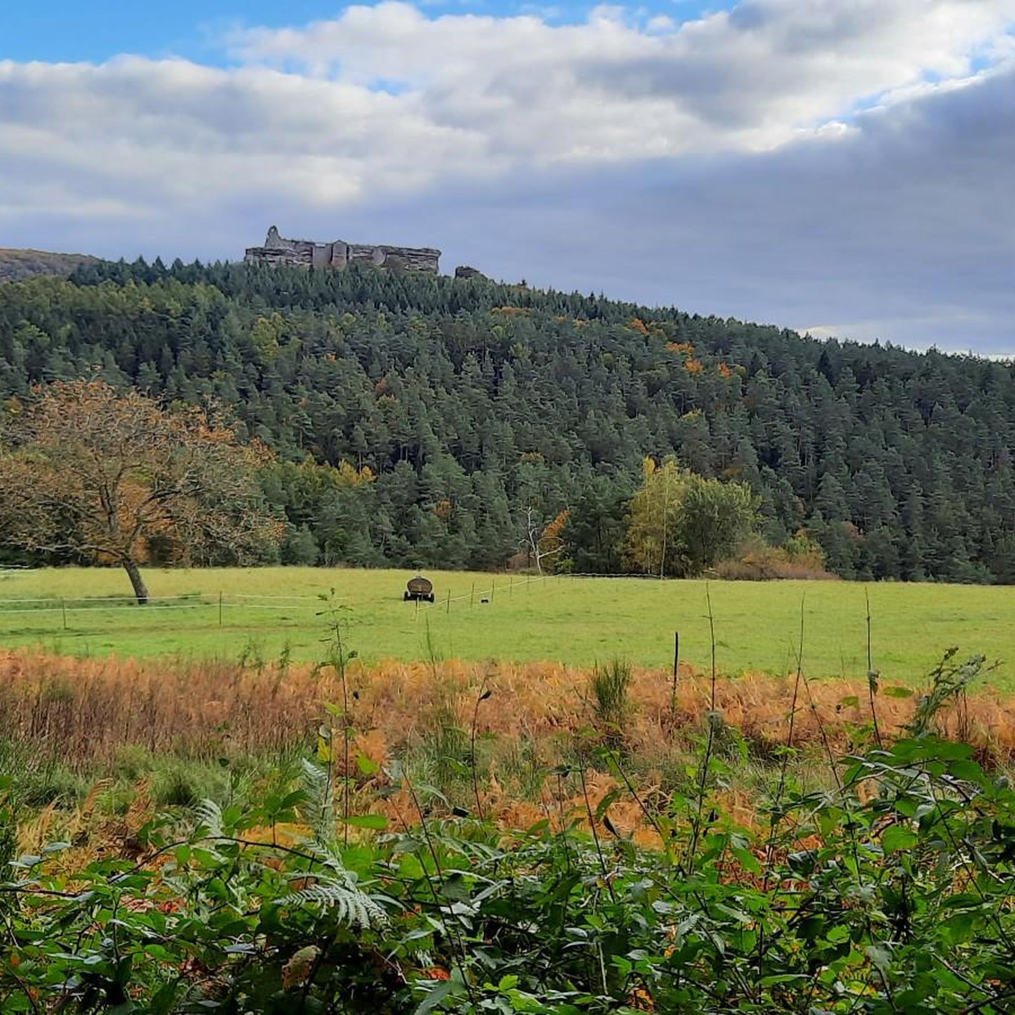
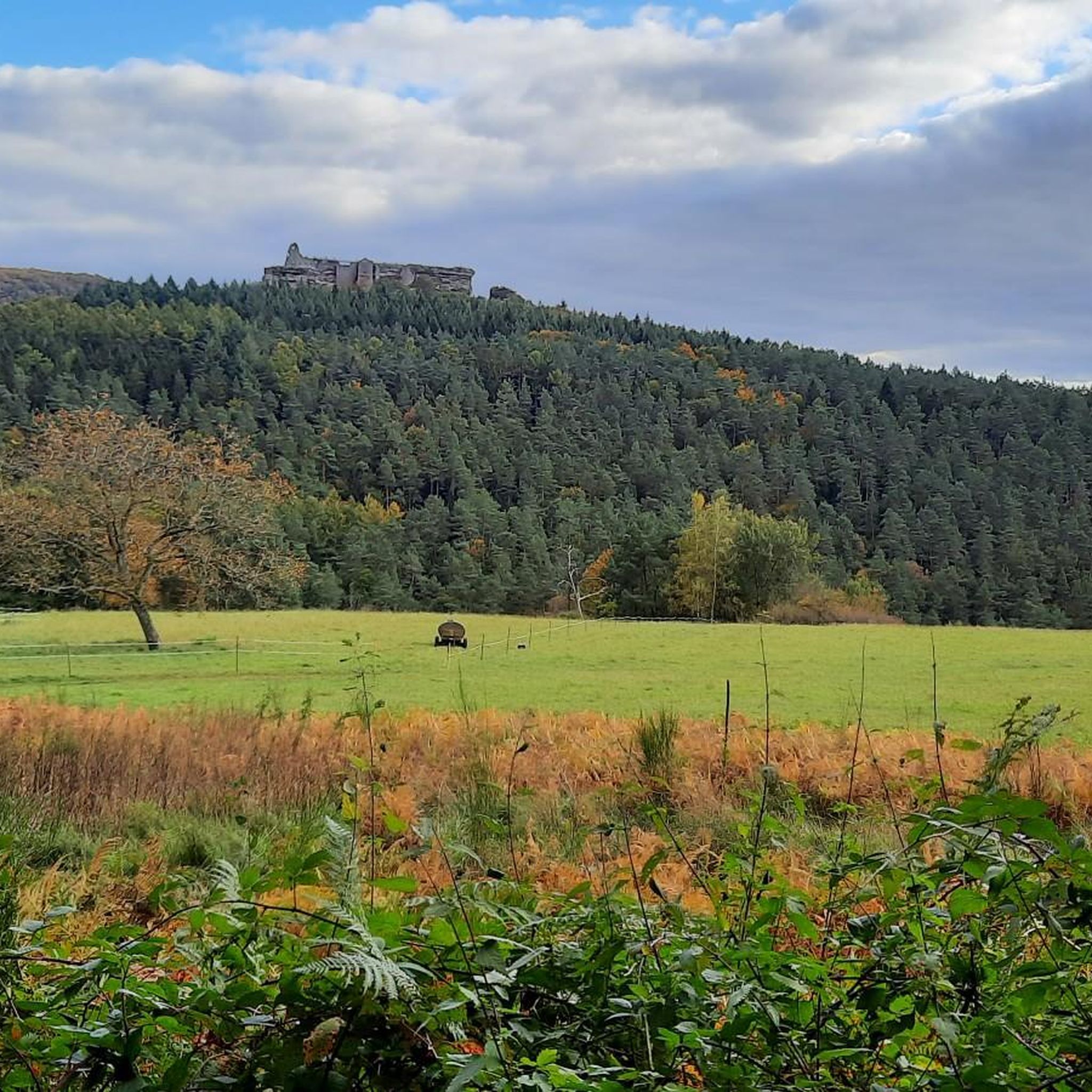
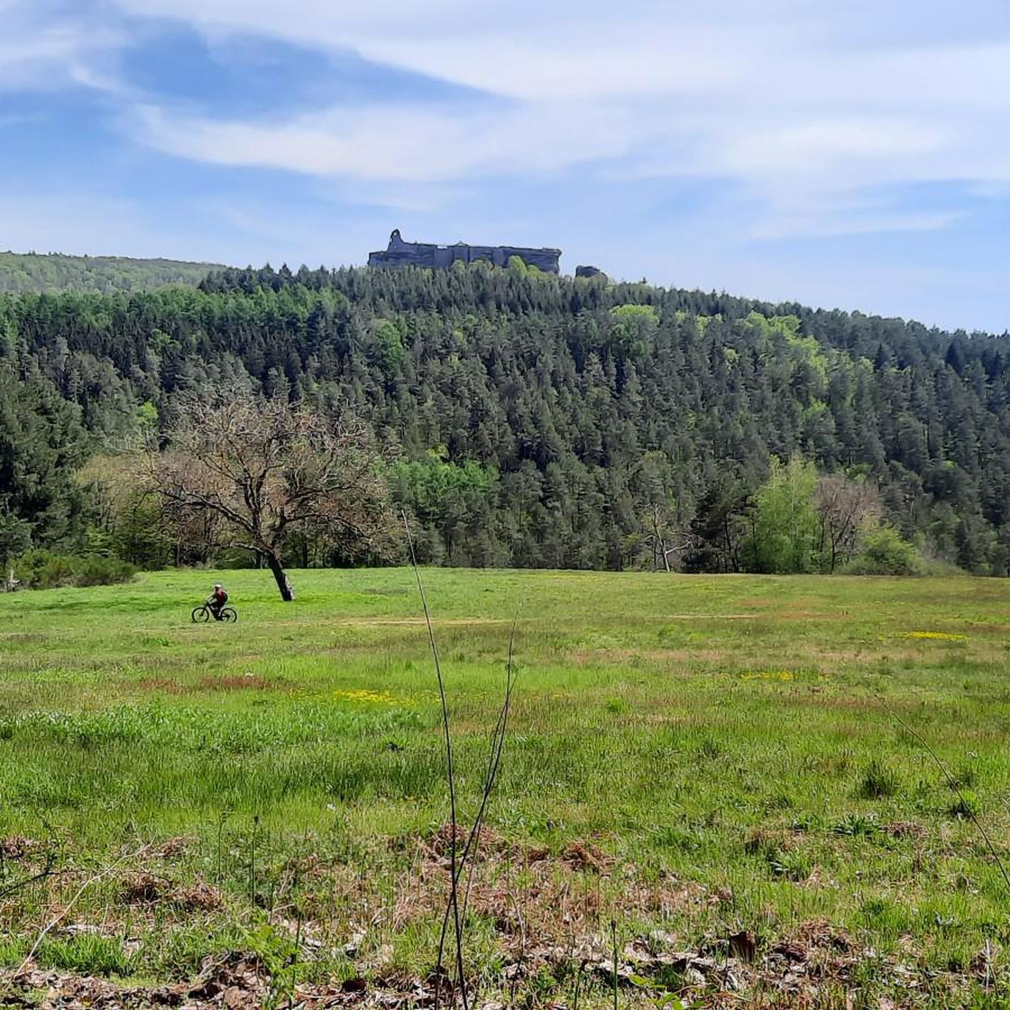
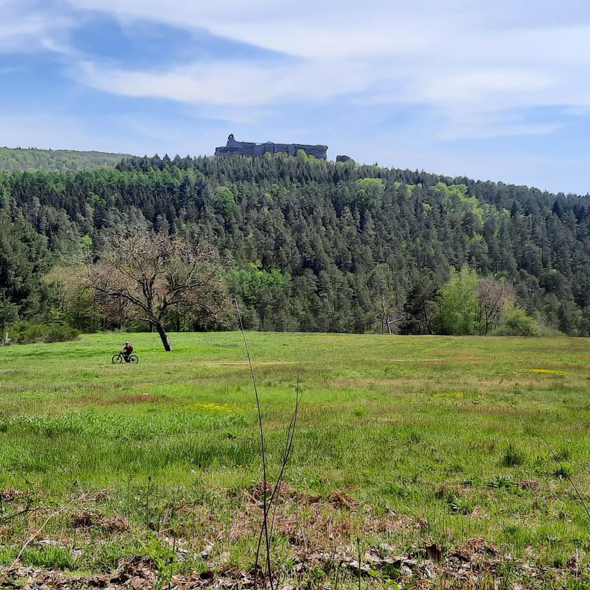
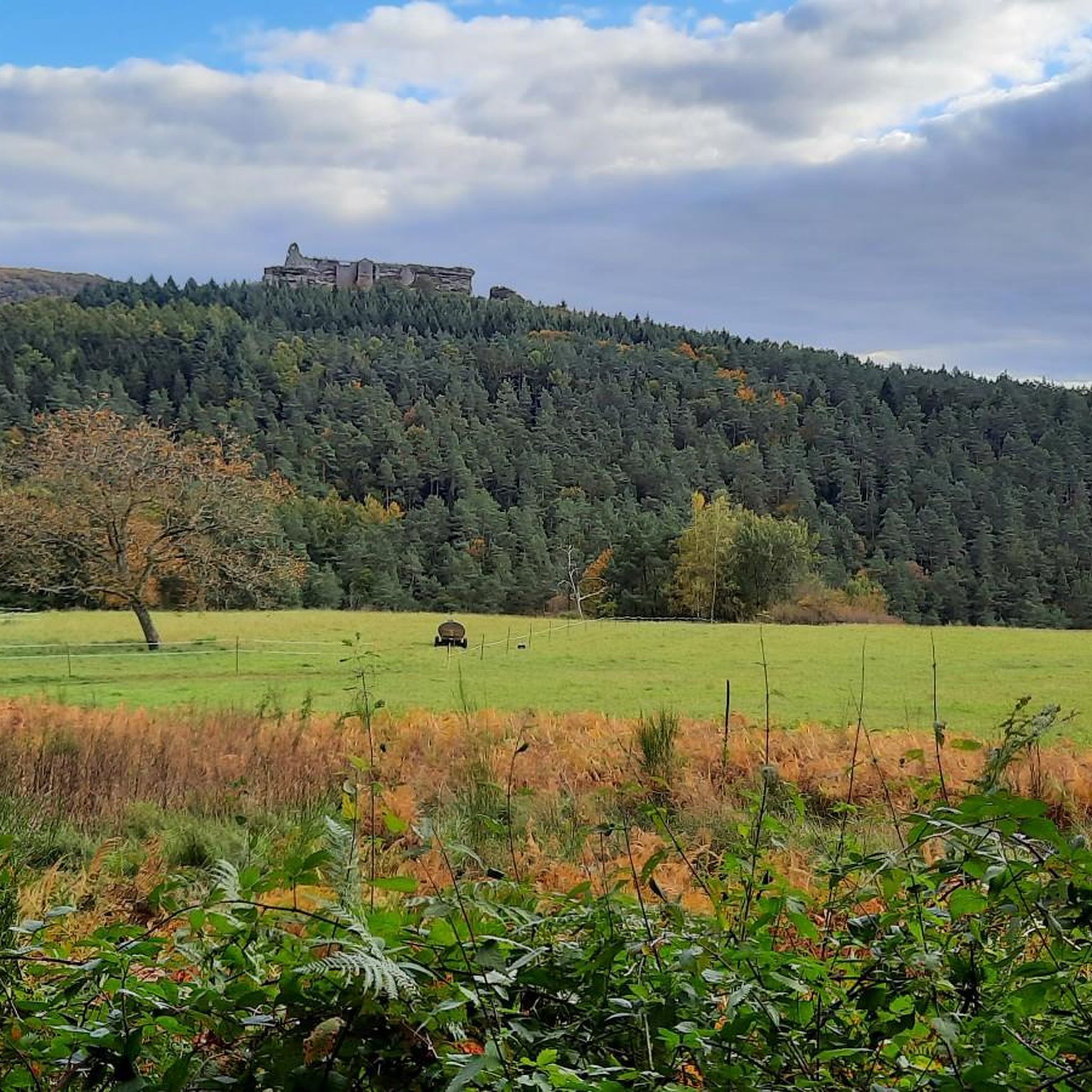
The Jungfernsprung. An imposing viewing rock and visible from afar.
3
0

Very beautiful lake with wonderful water lilies and many frogs in early summer - also accessible in winter.
0
0

Great to ride and nice and quiet
0
0

The Hochstein remains one of the most impressive rock formations in the Palatinate, especially since it is less obscured by forest than others. From the top, there is a fantastic view (for climbers).
6
0
This forest road is a convenient access route to Wasigenstein Castle by gravel bike. It's easy to ride even in late autumn and has only a very gentle incline. A wide forest road on the sunny side of the hill offers beautiful views.
1
0

Komoot seems to have thrown together a few highlights. It's best to withdraw your photos. Mine was originally titled "View of the Jungfernsprung."
1
0

Ms. Fath is, of course, right: That's the Jungfernsprung in Dahn! Lug, and thus also the Luger Geiersteine, are 29 km away from the Jungfernsprung by car, 13 km by bike, and 11.5 km on foot, and are also located in a different municipality.
0
0
Frequently Asked Questions
What is the general difficulty level of gravel bike trails in Hirschthal?
Gravel biking around Hirschthal offers a diverse range of experiences. While many routes are rated as difficult due to significant elevation changes and varied terrain, the region also provides options for different ability levels, including easier paths. Overall, the area features dense woodlands, forest tracks, and unpaved roads with moderate ascents.
Are there any beginner-friendly gravel bike routes in Hirschthal?
While many of the featured routes are challenging, the Hirschthal area does offer some easier paths suitable for beginners. The network of trails is varied, ensuring that riders of different skill levels can find an enjoyable experience. It's always recommended to check the specific route details on komoot for elevation profiles and surface types before heading out.
What kind of scenery can I expect on gravel bike trails near Hirschthal?
The gravel bike trails in Hirschthal are characterized by dense woodlands, rolling hills, and a network of paths that often provide scenic views. You'll frequently ride through forested areas and along unpaved roads, experiencing the natural beauty of the region. Some routes, like the Col du Pigeonnier – View of the Lauter loop from Ludwigswinkel, are specifically highlighted for their scenic vistas.
Are there any circular gravel bike routes available in Hirschthal?
Yes, many of the gravel bike routes in Hirschthal are designed as loops, allowing you to start and end at the same point. Examples include the Col du Pigeonnier – View of the Lauter loop from Ludwigswinkel, the Königsbruch – Col du Schaufelshald loop from Niedersteinbach, and the Pfälzerwoog Lake – Klingelfels Rock Formation loop from Niedersteinbach. These circular routes offer varied terrain and often pass by interesting landmarks.
What are some interesting places to explore along the gravel bike routes?
The Hirschthal area is rich in natural and historical attractions. Many routes pass by beautiful lakes such as Pfälzerwoog, Seehofweiher, and Sägmühl Pond. You can also encounter historical sites like the Gräfenstein Castle Ruins or unique natural formations like the Buchkammerfels Rock Chambers.
What do other gravel bikers say about the trails in Hirschthal?
The gravel biking routes in Hirschthal are highly regarded by the komoot community, holding an average rating of 4.7 stars from over 40 reviews. Riders often praise the varied terrain, the beauty of the dense woodlands, and the challenging yet rewarding ascents. Over 300 gravel bikers have used komoot to explore the area, indicating its popularity.
Are there any family-friendly gravel biking options in Hirschthal?
While many routes feature significant elevation, the region does offer paths suitable for families. Look for routes described as 'easier paths' or those with less elevation gain. It's advisable to check the detailed route descriptions and difficulty ratings on komoot to find the best fit for your family's experience level.
Can I bring my dog on the gravel bike trails in Hirschthal?
Many natural areas and trails in Hirschthal are dog-friendly, but it's always best to check local regulations for specific paths or protected areas. Generally, dogs are welcome on trails if kept on a leash and if you practice responsible pet ownership by cleaning up after them. Ensure your dog is fit enough for the distance and terrain.
What is the best time of year for gravel biking in Hirschthal?
The spring and autumn months are generally ideal for gravel biking in Hirschthal, offering pleasant temperatures and beautiful scenery as the foliage changes. Summer can also be enjoyable, especially in the shaded forest sections, but be mindful of higher temperatures. Winter riding is possible, but conditions can be challenging with potential for ice or snow on trails.
Are there cafes or refreshment stops along the gravel bike trails?
While specific cafes directly on every trail are not guaranteed, many routes pass through or near small towns and villages where you can find opportunities for refreshments. Planning your route with komoot allows you to identify potential stops or points of interest where you might find cafes or restaurants to refuel during your ride.
How long are the gravel bike trails in Hirschthal?
The gravel bike trails in Hirschthal vary significantly in length. You can find shorter routes, but many popular options are longer, ranging from approximately 28 miles (46 km) to over 38 miles (62 km). For instance, the Wolfsägertal Ponds – Moosbach Valley loop from Fischbach bei Dahn is about 19 miles (30 km), while the Gräfenstein Castle Ruins – Drachenfels Castle near Busenberg loop from Bundenthal-Rumbach is around 37 miles (60 km).
Is public transport available to access the gravel routes in Hirschthal?
Access to trailheads in Hirschthal via public transport can vary. While some larger towns in the region may have train or bus connections, reaching specific, more remote starting points for gravel routes might require a car. It's recommended to check local public transport schedules and routes in advance, especially if you plan to bring your bike on public transport.
Where can I find parking for gravel biking trails in Hirschthal?
Parking is generally available in or near the starting points of many gravel bike routes, particularly in the villages and towns surrounding Hirschthal. Look for designated parking areas or public car parks. When planning your route on komoot, you can often identify suitable parking locations near the trailhead.
Most popular routes around Hirschthal
Most popular attractions around Hirschthal

Get inspired with the komoot mobile app


Explore more
Browse the best Gravel rides in other regions.
