The best gravel rides around Höheischweiler
4.7
(25)
122
riders
31
rides
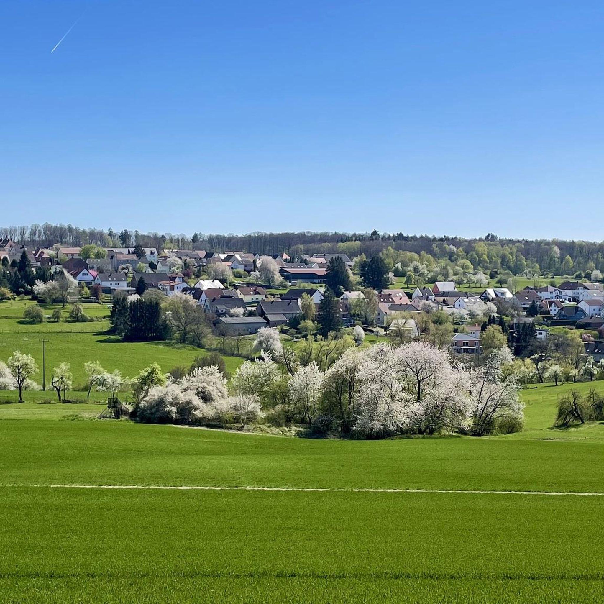
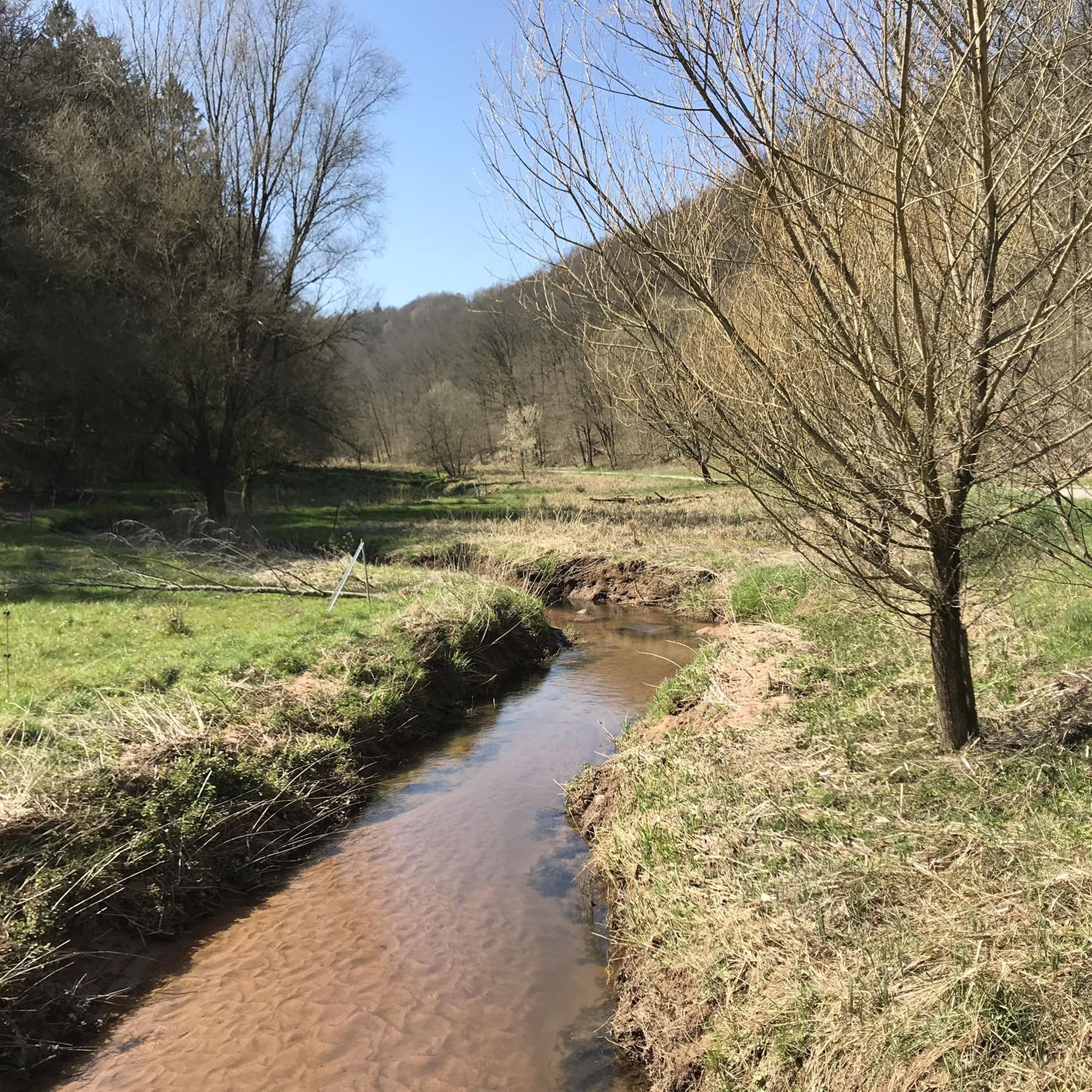
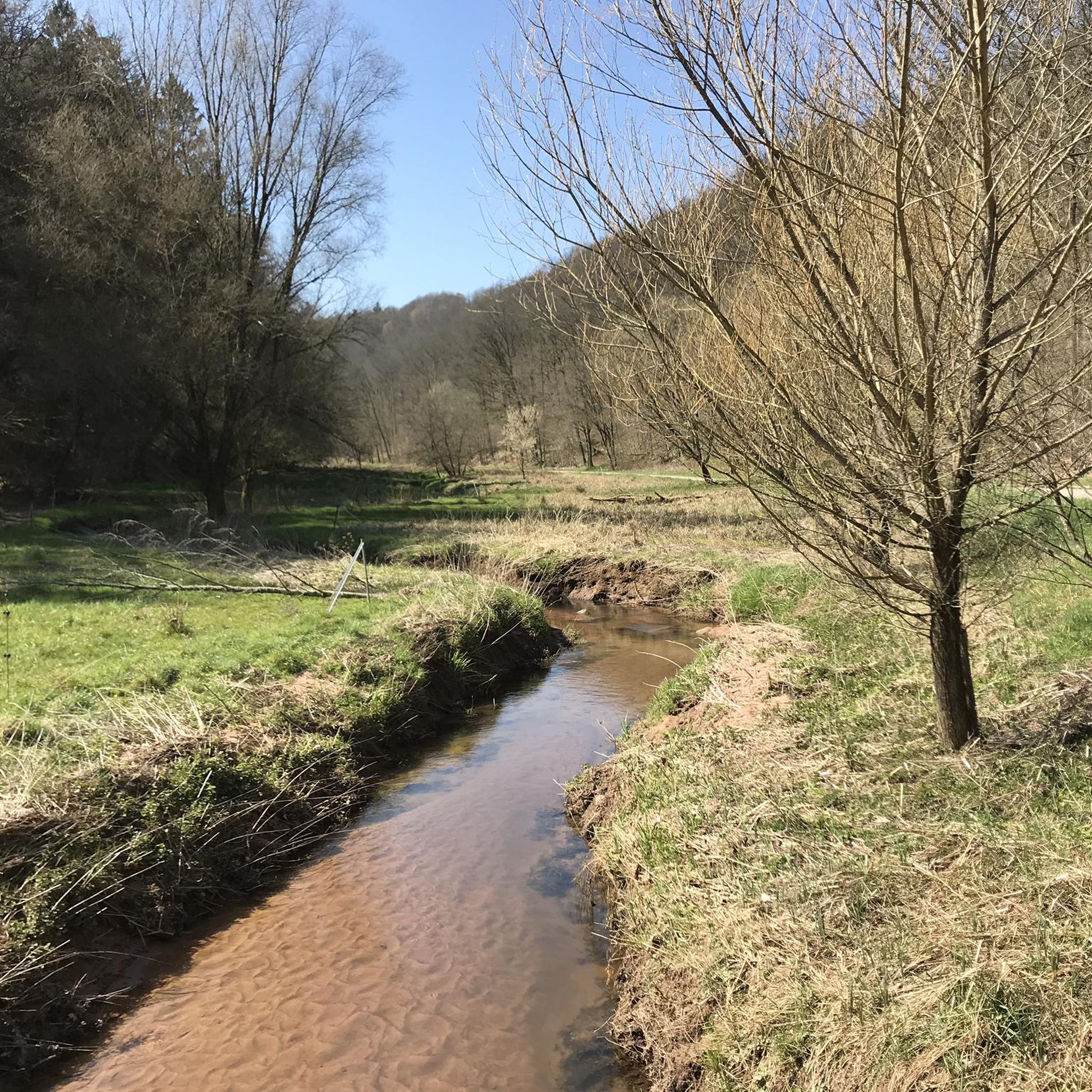
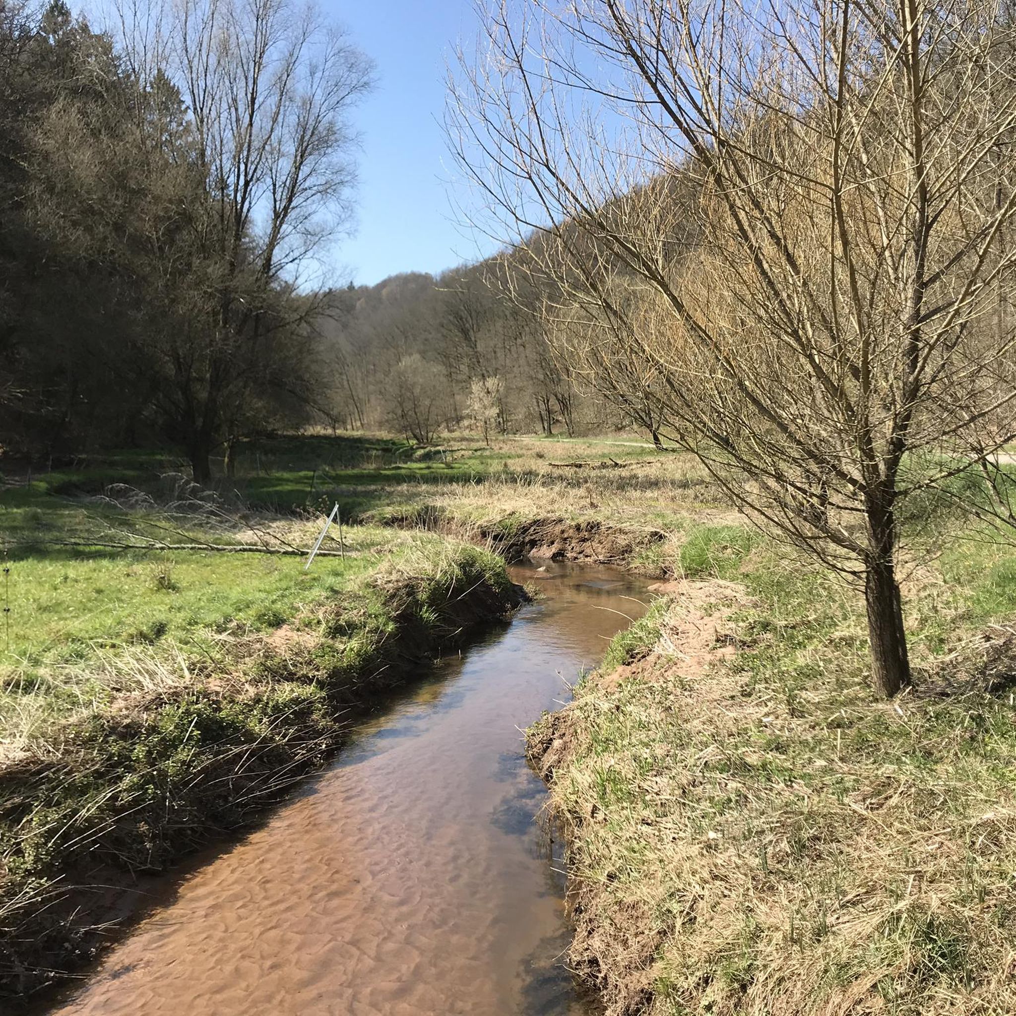
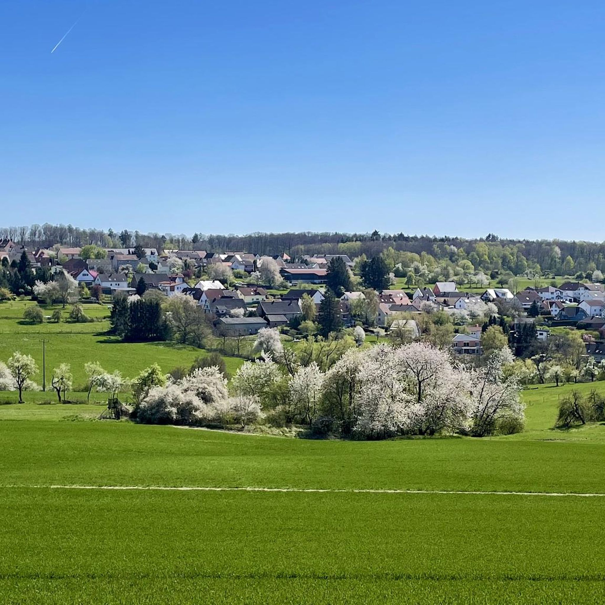
Gravel biking around Höheischweiler offers a network of trails through valleys, along rivers, and into forested areas in southwest Germany. The region is characterized by its varied topography, including the Blümelstal Valley and the Schwarzbach River, with landscapes featuring red sandstone formations. Riders can expect a mix of moderate climbs and descents, often traversing natural landscapes with diverse surfaces suitable for gravel bikes. The extensive trail networks provide opportunities to explore forest paths, country roads, and challenging trails.
Best gravel…
Last updated: May 21, 2026
4.0
(6)
19
riders
33.4km
02:29
420m
420m
Moderate gravel ride. Good fitness required. Mostly paved surfaces. Suitable for all skill levels.
4.0
(6)
18
riders
25.4km
01:51
240m
240m
Moderate gravel ride. Good fitness required. Mostly paved surfaces. Suitable for all skill levels.

Sign up for free
5
riders
69.1km
04:54
820m
820m
Hard gravel ride. Very good fitness required. You may need to push your bike for some segments of this route.
5.0
(1)
3
riders
29.1km
02:06
480m
480m
Hard gravel ride. Very good fitness required. Mostly paved surfaces. Suitable for all skill levels.
5.0
(1)
6
riders
36.1km
02:15
280m
270m
Moderate gravel ride. Good fitness required. Mostly paved surfaces. Suitable for all skill levels.
Get access to more routes and recommendations from other explorers.
Sign up for free
Already have an account?
Our route recommendations are based on thousands of hikes, rides, and runs completed by other people on komoot.
Start today with a free account
Your next adventure awaits.
Login or Signup
Tips from the Community

Very beautiful and quiet valley with water buffalo, when they show themselves 😉
0
0

A lovely witch carved 🫶, really nice
0
0


A much larger photo gallery with further pictures of this beautifully situated pond has been uploaded by hikers at the Highlight (corresponding to this sport). Their pictures of the Étang de Waldeck can be found via the following link =>> https://www.komoot.com/de-de/highlight/276055
0
0


lots of frogs - there is movement on the surface everywhere in the pond
0
0

On the French-German border, in the middle of the forest, this dirt road with red hues creates a superb contrast with the green of the trees. A soothing spectacle during your bike rides.
1
0
Frequently Asked Questions
How many gravel bike trails are there in Höheischweiler?
Höheischweiler offers a comprehensive network of over 60 gravel bike trails. These routes cater to various skill levels, with 24 moderate and 38 more challenging options available.
What is the general difficulty level of gravel biking in Höheischweiler?
The gravel bike trails around Höheischweiler offer a varied experience. You'll find a good mix of moderate routes, often featuring gentle climbs and descents through scenic valleys, as well as more difficult trails with greater elevation changes, ideal for experienced riders seeking a challenge.
Are there any family-friendly gravel bike trails in Höheischweiler?
While many routes involve moderate climbs, families comfortable with some elevation can enjoy sections of the Blümelstal Valley. For a moderate option, consider the Blümelstal Valley – Blümelsbach Valley loop from Pirmasens Hbf, which offers a mix of forest sections and open views over 15.8 miles (25.4 km).
What kind of terrain can I expect on the gravel bike trails?
The terrain around Höheischweiler is diverse, characterized by river valleys like the Blümelstal and Schwarzbach, dense woodlands, and varied elevation profiles. You'll encounter surfaces ranging from compacted earth to gravel paths, suitable for gravel bikes.
Are there any viewpoints or interesting natural landmarks along the gravel bike routes?
Yes, the region is rich in natural beauty. You might encounter features like the Upper Bear Cave or the dramatic Witches' Gorge. Some trails also lead past the Devil's Rock Waterfall and Cave, offering scenic stops.
Can I access the gravel bike trails using public transport?
Yes, some routes are accessible via public transport hubs. For instance, the Blümelstal Valley – Blümelsbach Valley loop from Pirmasens Hbf starts directly from Pirmasens Central Station, making it convenient for those arriving by train.
Are there any longer, more challenging gravel bike routes for experienced riders?
Absolutely. For a significant challenge, consider the Blümelstal Valley – Schwarzbach River loop from Pirmasens Nord, which covers 42.9 miles (69.0 km) and features substantial elevation changes. Another demanding option is the Hanau Pond – Erbsenfelsen loop from Bottenbach, a 69.1 km route with over 800 meters of ascent.
What do other gravel bikers enjoy most about the trails in Höheischweiler?
The komoot community highly rates the gravel biking experience in Höheischweiler, with an average score of 4.7 stars from over 30 reviews. Riders often praise the varied terrain, the scenic river valleys, and the dense woodlands that define the region's routes.
Are there any circular gravel bike routes available?
Many of the gravel bike trails in Höheischweiler are designed as loops, allowing you to start and finish at the same point. Examples include the popular Blümelstal Valley – Blümelsbach Valley loop from Bottenbach and the longer Smugglers' Trail – Smuggler's Trail Border Shelter loop from Winzeln.
When is the best time of year to go gravel biking in Höheischweiler?
Spring and autumn generally offer the most pleasant conditions for gravel biking in Höheischweiler, with mild temperatures and vibrant natural scenery. Summer can also be enjoyable, especially in the shaded forest sections, while winter rides are possible but may require checking for ice or snow on higher elevation paths.
Most popular routes around Höheischweiler
Most popular attractions around Höheischweiler

Get inspired with the komoot mobile app


Explore more
Browse the best Gravel rides in other regions.
