The best gravel rides around Mauschbach
4.5
(14)
85
riders
25
rides
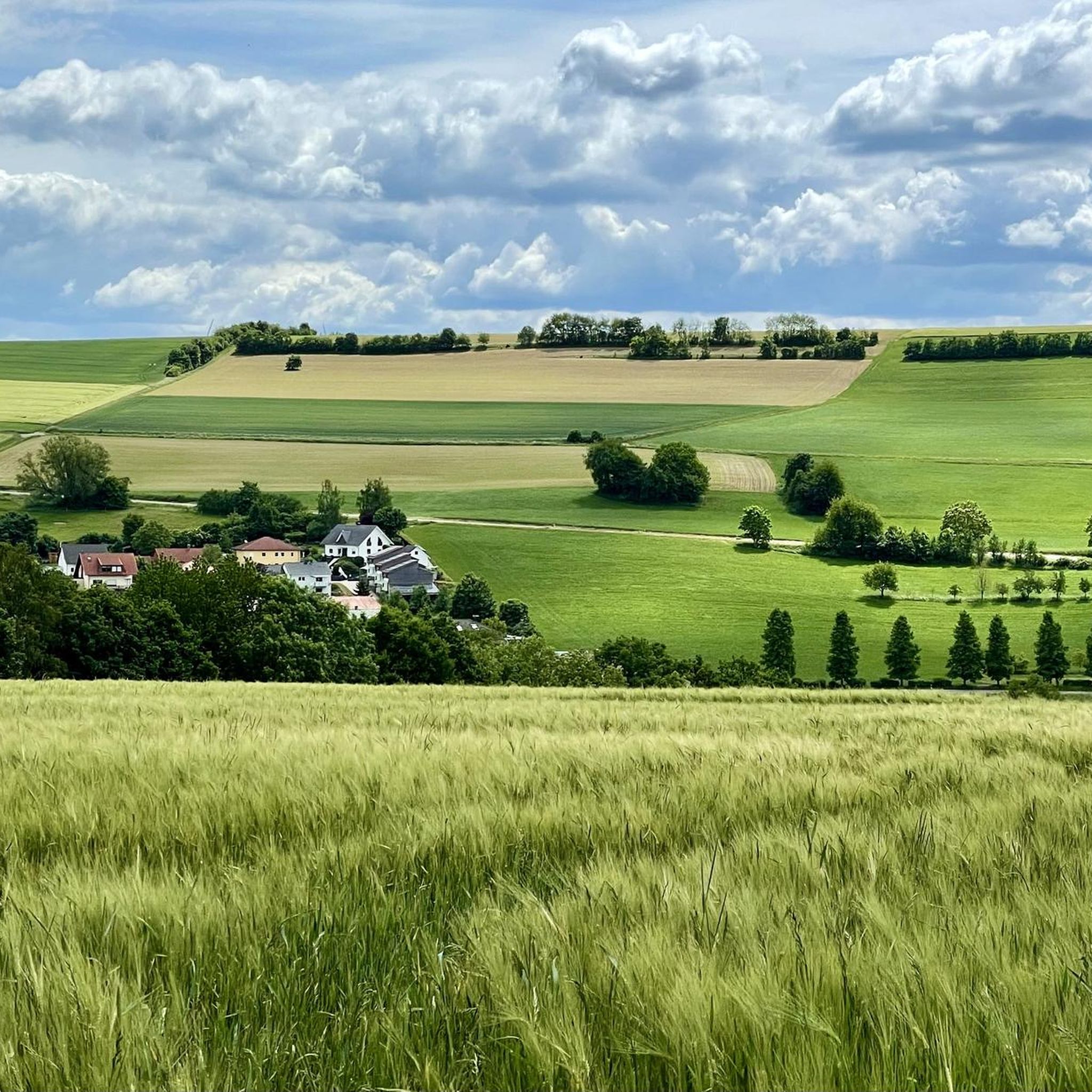
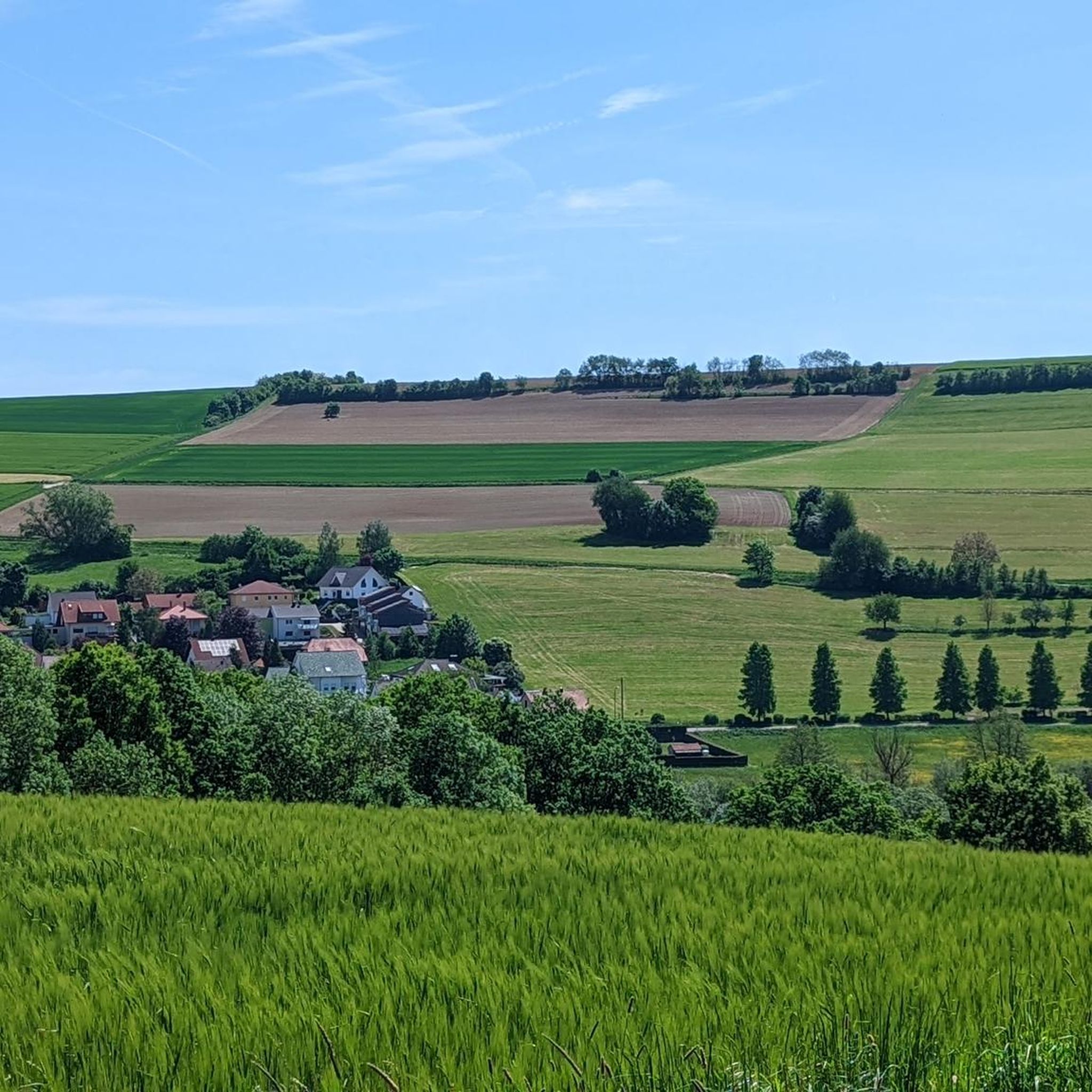
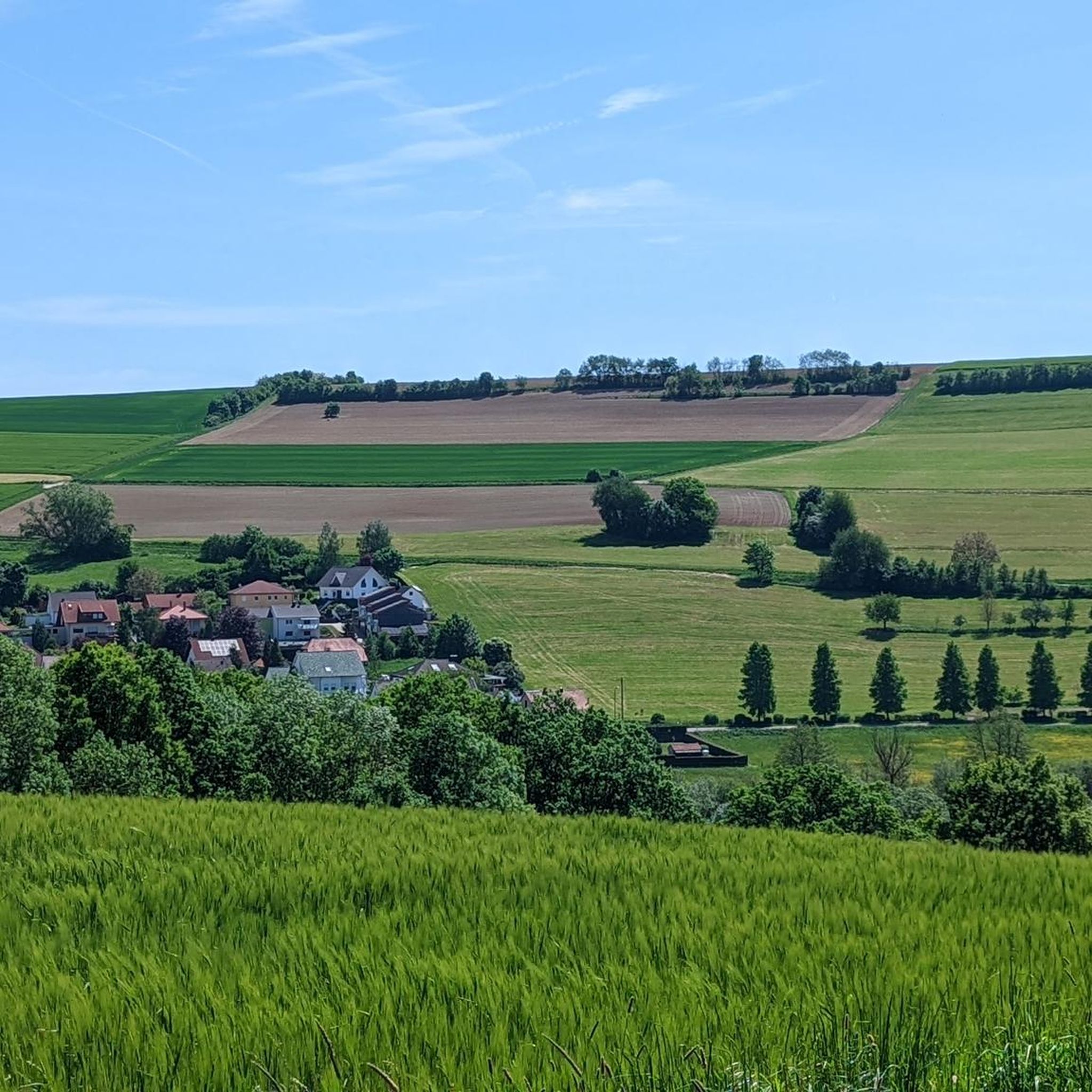
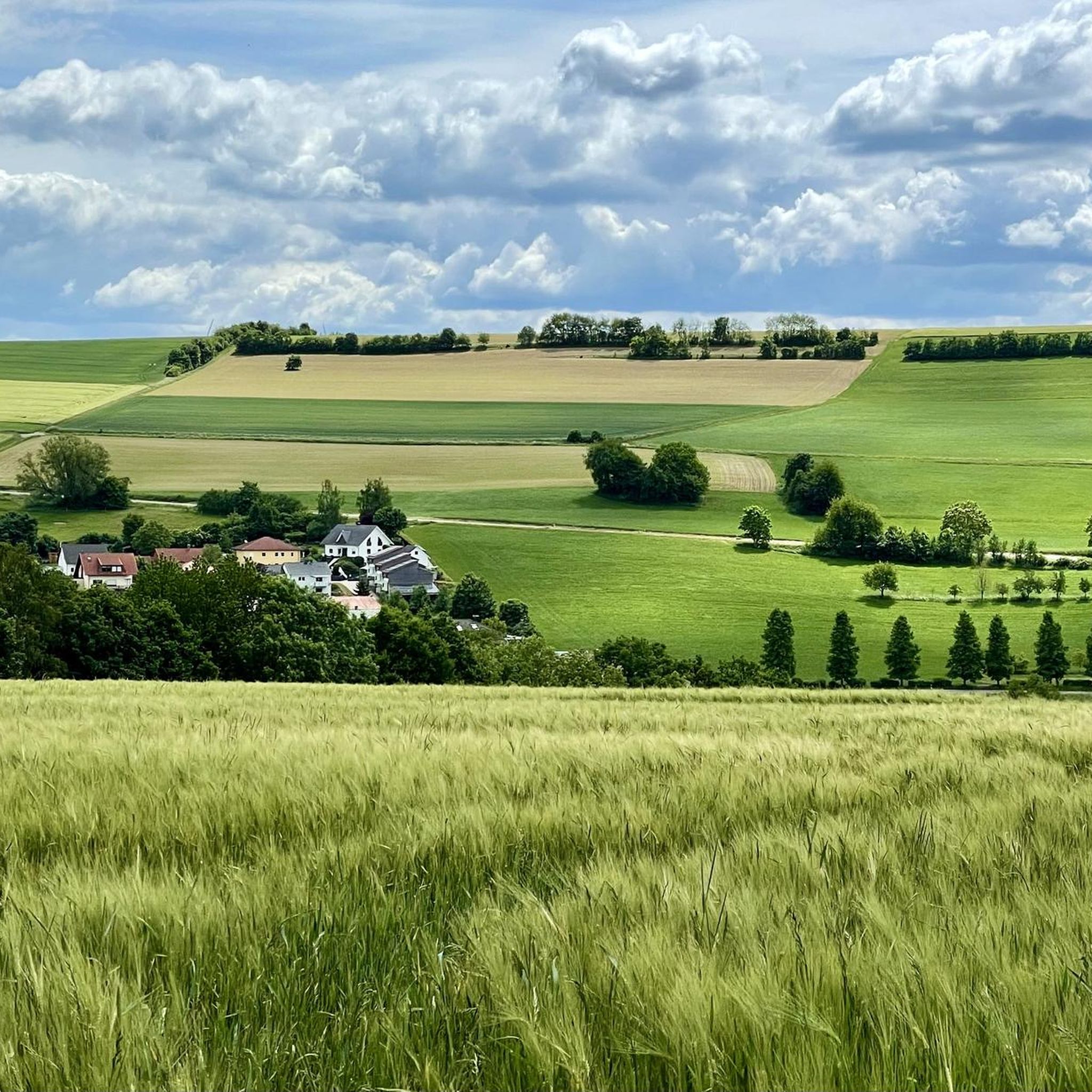
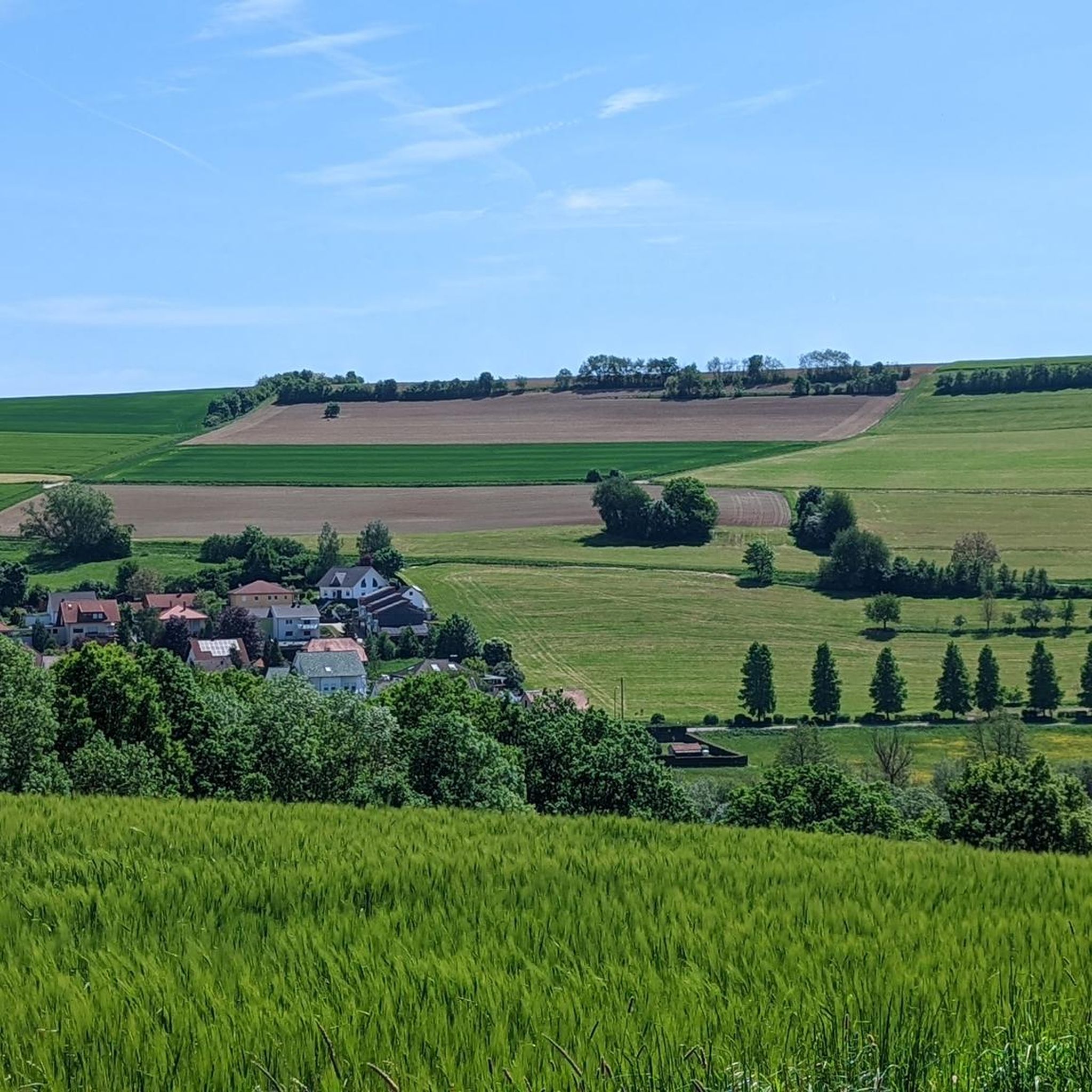
Gravel biking around Mauschbach, located in the Südwestpfalz district of Rhineland-Palatinate, Western Germany, offers diverse terrain for exploration. The region features picturesque stream landscapes, forested areas, and varied paths, including sections of old railway lines. This environment provides a mix of accessible routes and more challenging natural features suitable for gravel bikes.
Best gravel bike trails around Mauschbach
- The most popular gravel bike trail is Blümelstal Valley – Blümelsbach Valley loop from Bottenbach, a 20.7 miles (33.4 km) trail…
Last updated: May 22, 2026
4.0
(6)
19
riders
33.4km
02:29
420m
420m
Moderate gravel ride. Good fitness required. Mostly paved surfaces. Suitable for all skill levels.
5.0
(1)
12
riders
33.6km
01:54
330m
330m
Moderate gravel ride. Good fitness required. Mostly paved surfaces. Suitable for all skill levels.

Sign up for free
5
riders
69.1km
04:54
820m
820m
Hard gravel ride. Very good fitness required. You may need to push your bike for some segments of this route.
5.0
(1)
5
riders
46.4km
02:58
520m
520m
Hard gravel ride. Very good fitness required. Mostly paved surfaces. Suitable for all skill levels.
5
riders
77.5km
05:10
1,070m
1,070m
Hard gravel ride. Very good fitness required. Mostly paved surfaces. Suitable for all skill levels.
Get access to more routes and recommendations from other explorers.
Sign up for free
Already have an account?
Our route recommendations are based on thousands of hikes, rides, and runs completed by other people on komoot.
Start today with a free account
Your next adventure awaits.
Login or Signup
Tips from the Community

Very beautiful and quiet valley with water buffalo, when they show themselves 😉
0
0


It runs comfortably along the Schwarzbach stream in the valley.
3
0


great cycle path on a former railway line
3
0

A much larger photo gallery with further pictures of this beautifully situated pond has been uploaded by hikers at the Highlight (corresponding to this sport). Their pictures of the Étang de Waldeck can be found via the following link =>> https://www.komoot.com/de-de/highlight/276055
0
0

Frequently Asked Questions
How many gravel bike trails are there around Mauschbach?
There are over 45 gravel bike trails around Mauschbach, offering a wide range of options for different skill levels and preferences. The komoot community has explored these varied routes over 100 times.
What kind of terrain can I expect on gravel bike trails near Mauschbach?
The terrain around Mauschbach is diverse, featuring gorgeous stream landscapes, forested mountains, and paths along old railway lines. You'll encounter a mix of wide forest paths, some asphalt sections, and unpaved gravel, providing a versatile experience for gravel bikes. For a more rugged challenge, sections like the Witches' Gorge offer narrow, technical paths.
Are there any easy gravel bike routes suitable for beginners in Mauschbach?
Yes, Mauschbach offers routes suitable for beginners. While many routes are moderate to difficult, you can find easier sections, especially along former railway lines which tend to be flatter. For example, parts of the Glan-Blies Cycle Path are relatively flat and scenic, making them accessible for those new to gravel biking.
What are some challenging gravel bike trails for experienced riders?
Experienced riders seeking a challenge will find several difficult routes. The Hanau Pond – Erbsenfelsen loop from Bottenbach is a demanding 42.9-mile (69.1 km) trail with significant elevation gain. Additionally, the Witches' Gorge (Hexenklamm) offers a very narrow, technical section that can be muddy and slippery, providing a rugged, off-road experience.
Can I find scenic routes with viewpoints or natural features?
Absolutely. Many routes offer scenic views and natural features. The View of Pinningen – View of the Bickenalbtal loop from Zweibrücken Hbf provides beautiful vistas of the Bickenalbtal valley. The region is also known for its picturesque stream landscapes and forested areas, ensuring a visually rewarding ride.
Are there any waterfalls or gorges I can visit on a gravel bike ride?
Yes, the region features notable natural attractions like the Witches' Gorge (Hexenklamm), which is a significant natural feature, though caution is advised due to potentially muddy conditions. You can also find smaller waterfalls, such as the Rest Area at the Small Waterfall in Hexenklamm and the Neubach Waterfall (Neubachwasserfall), which can be incorporated into your rides.
Are the gravel bike trails around Mauschbach suitable for families?
While some routes are challenging, the region's diverse network includes sections suitable for families, particularly those along old railway lines or well-maintained cycle paths like parts of the Glan-Blies Cycle Path. These often provide relatively flat and safe riding environments. Always check the route details for difficulty before heading out with children.
What is the best time of year for gravel biking in Mauschbach?
The region is generally pleasant for gravel biking from spring through autumn. Spring brings blooming landscapes, while autumn offers vibrant foliage. Summer is also suitable, but be mindful of warmer temperatures. Winter conditions can make some trails muddy or slippery, especially in areas like the Witches' Gorge, so check local conditions if planning a ride during colder months.
Is there parking available near the gravel bike trails?
Yes, parking is generally available in towns and villages near trailheads. For example, routes starting from Zweibrücken Hbf or Bottenbach would have parking options. It's advisable to check specific starting points for designated parking areas when planning your route.
Can I reach the gravel bike trails using public transport with my bike?
Public transport options, such as trains to Zweibrücken Hbf, can provide access to the region. Many regional trains in Germany allow bikes, often with a special ticket. It's recommended to check the specific public transport provider's regulations and schedules regarding bike carriage before your trip.
Are there any circular gravel bike routes in the area?
Yes, many of the gravel bike routes around Mauschbach are designed as loops, allowing you to start and end at the same point. Examples include the Blümelstal Valley – Blümelsbach Valley loop from Bottenbach and the View of Pinningen – View of the Bickenalbtal loop from Zweibrücken Hbf.
What do other gravel bikers say about the trails in Mauschbach?
The gravel biking routes in Mauschbach are highly rated by the komoot community, with an average score of 4.5 stars from over 10 reviews. Reviewers often praise the varied terrain, the beautiful stream landscapes, and the opportunities to explore both accessible paths and more challenging natural features.
Are there any specific long-distance cycle paths suitable for gravel biking?
Yes, the Glan-Blies Cycle Path is a significant long-distance route that includes sections of both asphalt and loose gravel, making it ideal for gravel biking. This 130-kilometer path traverses Rhineland-Palatinate and Saarland, offering a mix of smooth riding and varied terrain through scenic areas.
Where can I find places to rest or get refreshments along the trails?
While specific cafes directly on every trail might be limited, the towns and villages along the routes, such as Mauschbach itself or nearby Zweibrücken, offer various options for refreshments, cafes, and restaurants. Planning your route to pass through these settlements is a good way to ensure access to amenities.
Most popular attractions around Mauschbach

Get inspired with the komoot mobile app


Explore more
Browse the best Gravel rides in other regions.
