The best gravel rides around Riedelberg
4.7
(26)
116
riders
35
rides
Gravel biking around Riedelberg features a landscape characterized by valleys and forested areas, offering varied terrain for cyclists. The region includes features such as the Blümelstal and Blümelsbach Valleys, alongside areas around the Hohe List Hiking Lodge and Hanau Pond. Elevation gains are present on many routes, providing a mix of challenges.
Best gravel bike trails around Riedelberg
- The most popular gravel bike trail is Blümelstal Valley – Blümelsbach Valley loop from Bottenbach, a 20.7 miles (33.4 km) trail…
Last updated: August 12, 2026
4.0
(8)
23
riders
33.4km
02:29
420m
420m
Moderate gravel ride. Good fitness required. Mostly paved surfaces. Suitable for all skill levels.
4.1
(7)
21
riders
25.4km
01:51
240m
240m
Moderate gravel ride. Good fitness required. Mostly paved surfaces. Suitable for all skill levels.

Sign up for free
5.0
(4)
11
riders
36.8km
02:53
540m
540m
Hard gravel ride. Very good fitness required. Mostly paved surfaces. Suitable for all skill levels.
4.5
(2)
13
riders
27.1km
01:47
280m
280m
Moderate gravel ride. Good fitness required. Mostly paved surfaces. Suitable for all skill levels.
8
riders
69.1km
04:54
820m
820m
Hard gravel ride. Very good fitness required. You may need to push your bike for some segments of this route.
Get access to more routes and recommendations from other explorers.
Sign up for free
Already have an account?
Our route recommendations are based on thousands of hikes, rides, and runs completed by other people on komoot.
Start today with a free account
Your next adventure awaits.
Login or Signup
Tips from the Community

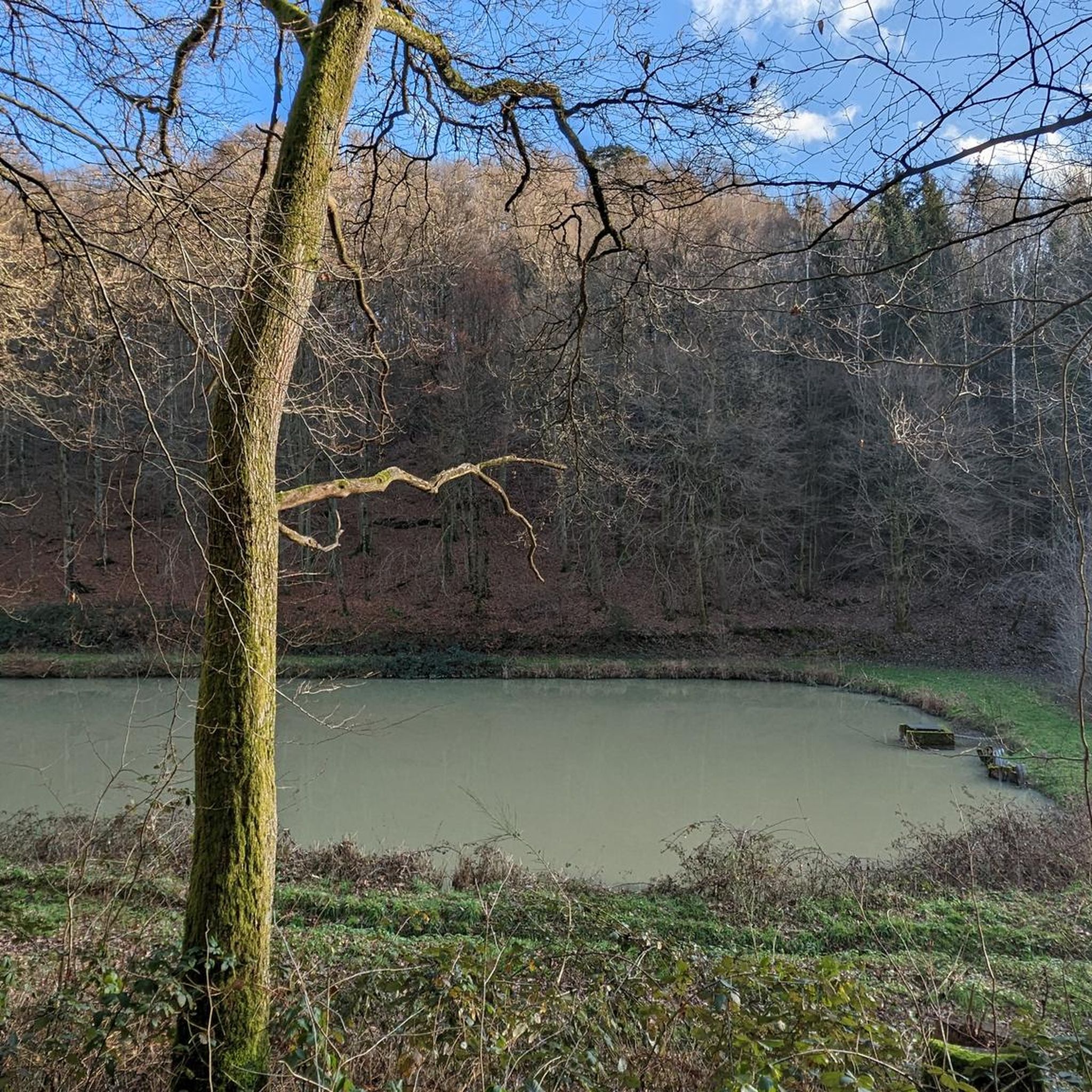
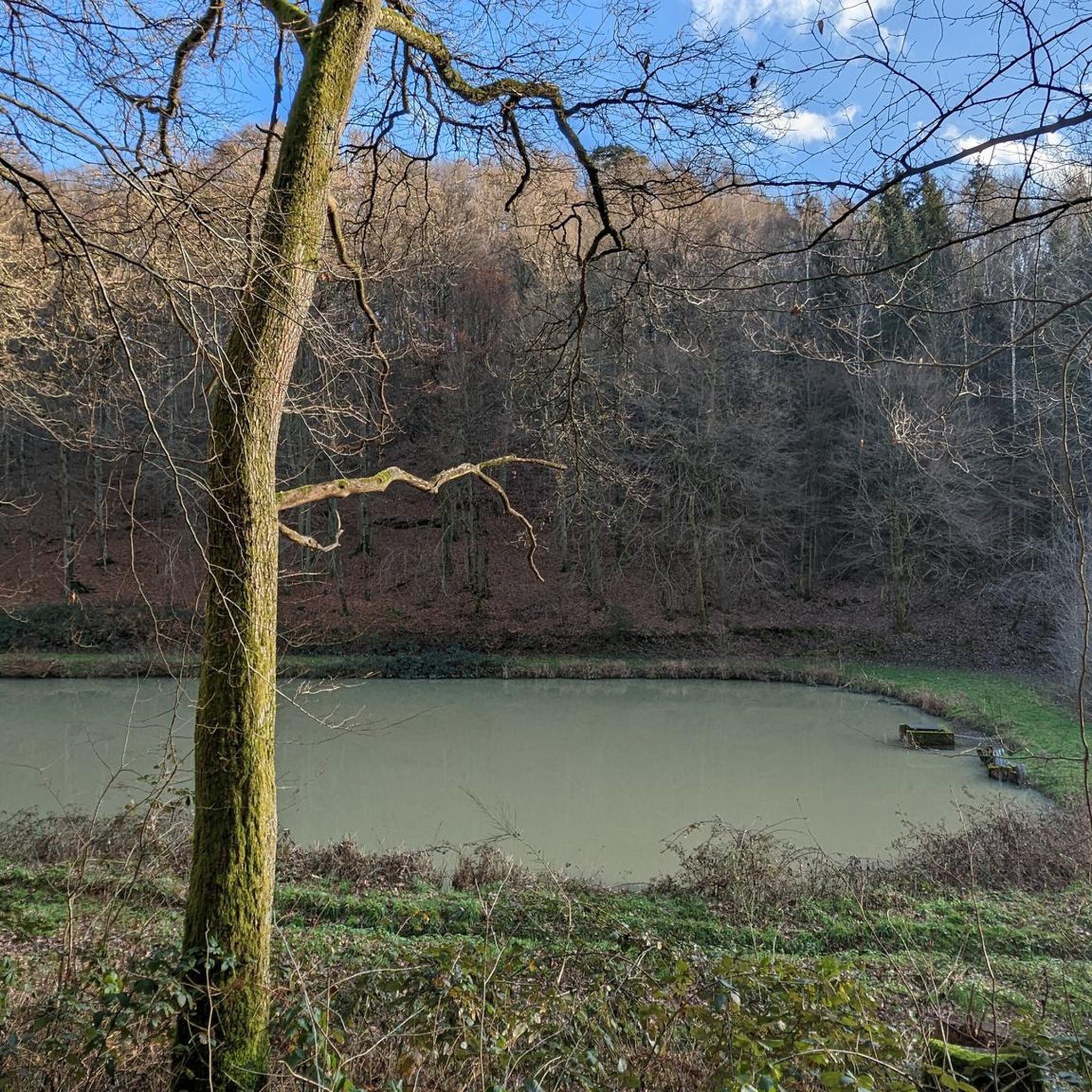
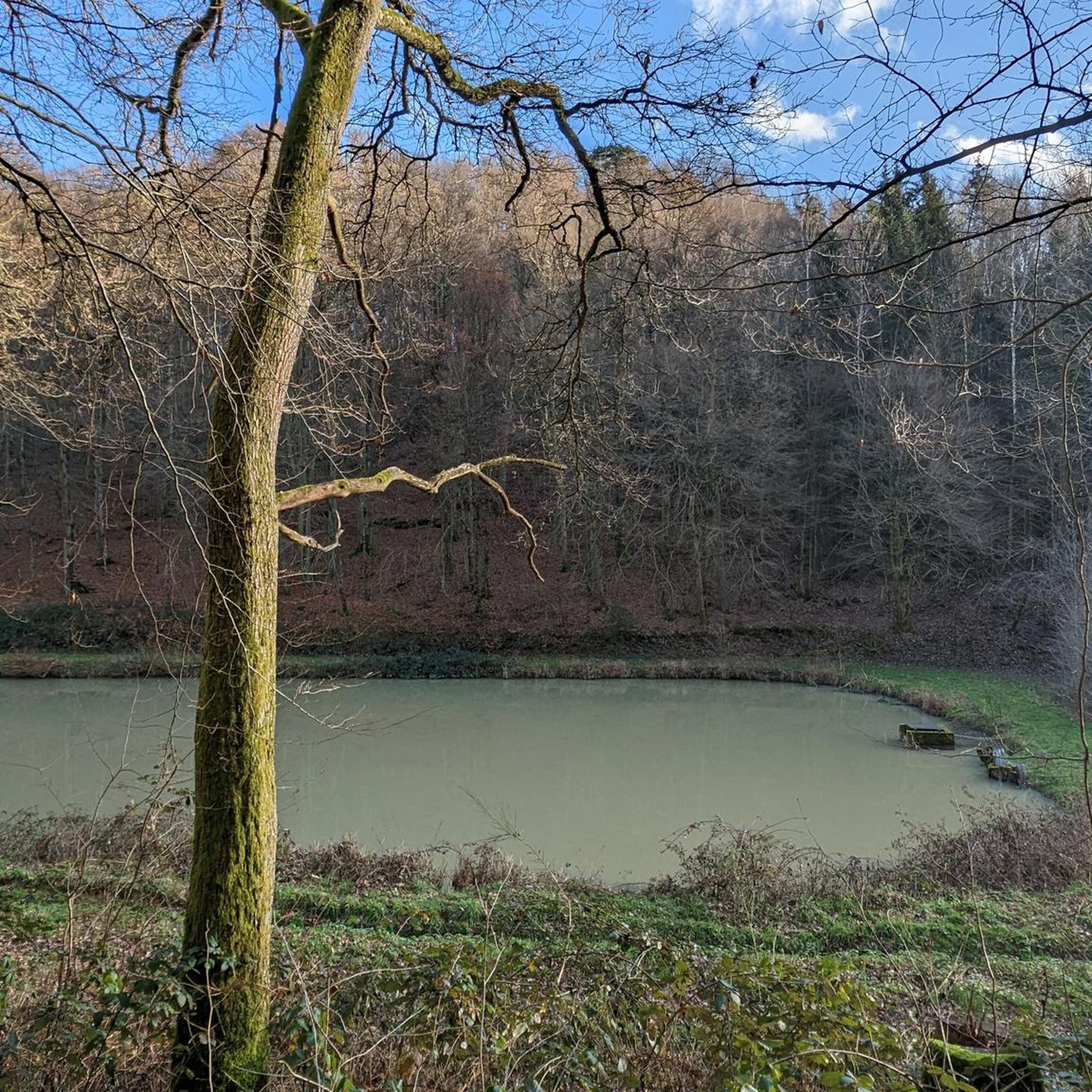
There are several in the region, some larger, but less accessible for most
0
0

Very beautiful and quiet valley with water buffalo, when they show themselves 😉
0
0

Nice eye-catcher, only the tree on the rock is missing 🌳
0
1


A much larger photo gallery with further pictures of this beautifully situated pond has been uploaded by hikers at the Highlight (corresponding to this sport). Their pictures of the Étang de Waldeck can be found via the following link =>> https://www.komoot.com/de-de/highlight/276055
0
0

Frequently Asked Questions
How many gravel bike trails are available around Riedelberg?
There are nearly 70 gravel bike routes to explore around Riedelberg, offering a wide range of options for different skill levels and preferences.
What is the typical difficulty level for gravel biking in Riedelberg?
The gravel bike trails in Riedelberg are predominantly moderate to difficult. You'll find 24 moderate routes and 44 difficult routes, often featuring significant elevation gains through valleys and forested areas.
Are there any long-distance gravel routes in the Riedelberg area?
Yes, for those seeking a longer challenge, the Hanau Pond – Erbsenfelsen loop from Bottenbach is a notable option. This difficult route covers approximately 69.1 km (43 miles) with over 800 meters of elevation gain.
What kind of natural attractions can I expect to see along the gravel trails?
Many routes pass by impressive natural landmarks. You might encounter the unique Altschloss Rocks, the dramatic Witches' Gorge, or even the Devil's Table (Eppenbrunn) rock formation.
Are there any routes that feature waterfalls?
Yes, the region includes highlights such as the Rest Area at the Small Waterfall in Hexenklamm. While not a major waterfall, it offers a scenic spot along some routes, particularly those near the Witches' Gorge.
Are there any circular gravel bike routes in Riedelberg?
Many of the gravel bike trails in Riedelberg are designed as loops. For example, the Blümelstal Valley – Blümelsbach Valley loop from Bottenbach offers a scenic circular tour through two distinct valleys.
What do other gravel bikers say about the trails in Riedelberg?
The komoot community highly rates the gravel biking experience in Riedelberg, with an average score of 4.7 stars from over 30 reviews. Riders often praise the varied terrain, the quiet forested sections, and the challenging yet rewarding climbs.
Are there any gravel routes suitable for beginners or those looking for a less strenuous ride?
While many routes feature elevation gains, some moderate options are available. The Blümelstal Valley – Blümelsbach Valley loop from Pirmasens Hbf is a moderate 25.4 km route with less elevation gain compared to some of the more difficult trails, making it a good choice for those building endurance.
Are there any routes that start near public transport hubs?
Yes, the Blümelstal Valley – Blümelsbach Valley loop from Pirmasens Hbf conveniently starts from Pirmasens Central Station (Hbf), making it accessible via public transport.
What is the best season for gravel biking in Riedelberg?
The forested and valley-rich landscape of Riedelberg makes it enjoyable for gravel biking from spring through autumn. The tree cover provides shade in warmer months, and the autumn colors are particularly beautiful. Always check local weather conditions before heading out.
Are there any routes that explore the area around the Hohe List Hiking Lodge?
Absolutely. The Hohe List Hiking Lodge – Hohe List Hiking Lodge loop from Eppenbrunn is a challenging 36.5 km route that takes you through varied terrain surrounding the popular hiking lodge.
Can I find routes that are suitable for families with older children?
For families with older, experienced children who are comfortable with moderate distances and some climbing, routes like the Smuggler's Trail Border Shelter – Smugglers' Trail loop from Eppenbrunn offer an engaging experience through varied landscapes, including historical points of interest.
Most popular routes around Riedelberg
Most popular attractions around Riedelberg

Get inspired with the komoot mobile app


Explore more
Browse the best Gravel rides in other regions.
