The best gravel rides around Frauenberg
5.0
(2)
27
riders
8
rides
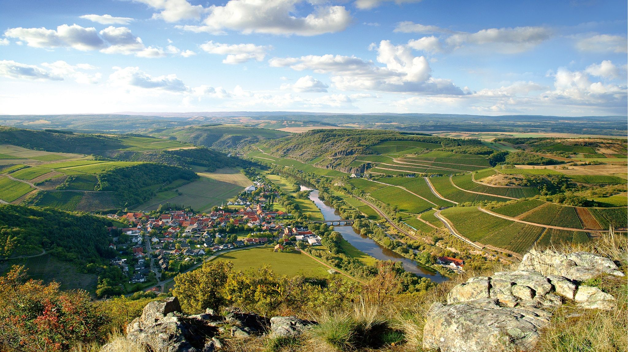
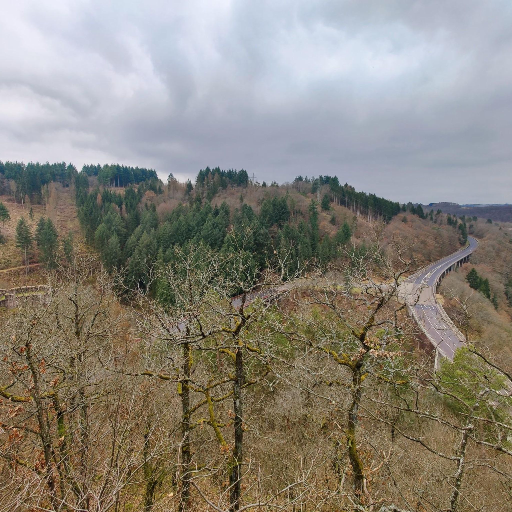
Gravel biking around Frauenberg offers routes through a landscape characterized by rolling hills, verdant valleys, and dense forests. The region features the meandering Nahe River, with trails often running alongside its banks, and is situated within the Saar-Hunsrück Nature Park. Cyclists will encounter reservoirs, former railway lines, viaducts, and tunnels, indicating a mix of engineered paths and natural inclines. The terrain provides varied options, from moderate rides to challenging ones with significant elevation changes.
Best gravel bike trails around Frauenberg
…Last updated: May 22, 2026
8
riders
Hard gravel ride. Very good fitness required. Mostly paved surfaces. Suitable for all skill levels.
2
riders
56.5km
03:34
740m
740m
Hard gravel ride. Very good fitness required. Mostly paved surfaces. Suitable for all skill levels.

Sign up for free
5.0
(1)
2
riders
52.9km
03:21
780m
780m
Hard gravel ride. Very good fitness required. Mostly paved surfaces. Suitable for all skill levels.
5.0
(1)
4
riders
38.2km
02:24
630m
630m
Hard gravel ride. Very good fitness required. Mostly paved surfaces. Suitable for all skill levels.
5
riders
56.0km
03:34
760m
760m
Hard gravel ride. Very good fitness required. Mostly paved surfaces. Suitable for all skill levels.
Get access to more routes and recommendations from other explorers.
Sign up for free
Already have an account?
Our route recommendations are based on thousands of hikes, rides, and runs completed by other people on komoot.
Start today with a free account
Your next adventure awaits.
Login or Signup
Other adventures around Frauenberg

Tips from the Community

Lichtenberg Castle is one of the largest castle ruins in Germany
0
0

This makes a good starting point for the Börfink Oxen Tour. Please note: parking is required outside the town, along the road.
0
0

Good paths, clearly signposted, very beautiful views and photo opportunities
0
0


We passed through here on the third day of our Trier-Grünstadt tour. It's one of the most beautiful bike paths we've ever ridden.
1
0

The circular trail around the Nonnweiler Reservoir offers relaxing nature experiences right by the water. On the well-maintained path, you'll enjoy magnificent views of the lake. Along the way, you'll find numerous places to linger and observe the birdlife. The route is family-friendly and ideal for hiking or cycling.
4
0
The Nonnweiler Dam is the largest drinking water reservoir in Saarland and a popular tourist destination. A beautiful circular trail leads directly along the water, offering magnificent views of the reservoir. Especially in summer, the tranquil surroundings invite you to relax and enjoy nature. The clear water and the dense forests surrounding it make this place unique.
1
0
The Nonnweiler Dam is the largest drinking water reservoir in Saarland and a popular tourist destination. A beautiful circular trail leads directly along the water, offering magnificent views of the reservoir. Especially in summer, the tranquil surroundings invite you to relax and enjoy nature. The clear water and the dense forests surrounding it make this place unique.
3
0
Frequently Asked Questions
What is the general difficulty level of gravel bike trails around Frauenberg?
Gravel biking around Frauenberg is characterized by challenging routes. All 11 tours listed in this guide are categorized as difficult, featuring significant elevation changes and varied terrain. Riders should be prepared for demanding climbs and descents.
Are there any beginner-friendly gravel bike trails in the Frauenberg area?
The gravel bike routes specifically highlighted in this guide around Frauenberg are generally considered difficult. They often involve substantial elevation gains and cover long distances. For those new to gravel biking or seeking less strenuous options, it's advisable to look for shorter, flatter sections of multi-use paths or explore areas with less dramatic topography, though these may not be explicitly gravel-focused.
What kind of terrain can I expect on gravel bike routes near Frauenberg?
The terrain around Frauenberg is diverse, featuring former railway lines, viaducts, and tunnels, which often provide unique riding experiences. You'll also encounter routes that traverse areas with reservoirs, such as the View of Bostalsee from the dam – Wendelinus Cycle Path loop from Hoppstädten (Nahe), and the Nonnweiler Reservoir – Nonnweiler Reservoir Loop loop from Birkenfeld. Expect a mix of paved and unpaved surfaces, with considerable elevation changes.
Are there any circular gravel bike routes available in Frauenberg?
Yes, many of the gravel bike routes around Frauenberg are designed as loops. For example, the Oberkirchen Viaduct – Oberkirchener Tunnel loop from Baumholder and the Rail Trail Sankt Wendeler Land – Bierfelder Tunnel loop from Hoppstädten (Nahe) are excellent circular options, allowing you to start and finish at the same point.
What are some interesting sights or landmarks along the gravel bike trails around Frauenberg?
The region offers several points of interest. You might encounter the Hattgenstein Observation Tower, the historic Ruins of Bosselstein Castle, or the impressive Oberstein Castle. Natural attractions include the Kammerwoog Reservoir and Nature Reserve and the dramatic Teufelsgraben gorge.
Is it possible to find parking near the gravel bike trailheads in Frauenberg?
While specific parking information for every trailhead isn't always available, many routes around Frauenberg, especially those starting from towns like Hoppstädten (Nahe) or Baumholder, typically have public parking options. It's recommended to check local parking availability in these starting communities before your ride.
What is the best time of year for gravel biking around Frauenberg?
Spring and autumn generally offer the most pleasant conditions for gravel biking in Frauenberg, with milder temperatures and beautiful scenery. Summer can be enjoyable, but be prepared for warmer weather. Winter riding is possible, but trails may be affected by snow, ice, or mud, especially in higher elevations or shaded areas, requiring appropriate gear and caution.
Are there any family-friendly gravel biking options near Frauenberg?
Given that most routes in this guide are rated as difficult due to significant elevation and distance, they might not be ideal for younger children or families seeking very easy rides. For family-friendly options, consider looking for shorter, less hilly sections of former railway lines or dedicated cycle paths in the broader region that offer smoother surfaces and fewer challenges.
What do other gravel bikers enjoy most about the trails in Frauenberg?
The komoot community highly rates the gravel biking experience around Frauenberg, with an average score of 4.8 stars from over 6 reviews. Riders often praise the varied terrain, the scenic views of reservoirs like Bostalsee, and the unique experience of riding through areas with viaducts and tunnels, such as on the Oberkirchen Viaduct – Oberkirchener Tunnel loop from Baumholder.
How long do gravel bike routes around Frauenberg typically take to complete?
The duration of gravel bike routes around Frauenberg varies depending on the distance and elevation. For example, the View of Bostalsee from the dam – Wendelinus Cycle Path loop from Hoppstädten (Nahe), which is 36.7 miles (59.1 km), typically takes around 4 hours and 21 minutes. Shorter routes, like the 23.8 miles (38.2 km) Oberkirchen Viaduct – Oberkirchener Tunnel loop from Baumholder, can be completed in about 2 hours and 24 minutes.
Are there any cafes or refreshment stops along the gravel bike trails in Frauenberg?
While specific cafes directly on every trail are not guaranteed, routes often pass through or near small towns and villages where you can find opportunities for refreshments. Planning your route to include stops in communities like Hoppstädten (Nahe) or Baumholder, which serve as common starting points, is a good strategy for finding cafes or restaurants.
How does gravel biking in Frauenberg compare to nearby areas like Marburg?
Frauenberg's gravel biking is distinct due to its focus on routes featuring reservoirs, former railway lines with viaducts and tunnels, and significant elevation changes, often leading to challenging rides. While Marburg also offers diverse cycling, Frauenberg's specific character is defined by its unique blend of engineered paths and natural inclines, providing a different kind of demanding gravel experience.
Most popular attractions around Frauenberg

Get inspired with the komoot mobile app


Explore more
Browse the best Gravel rides in other regions.
