The best gravel rides around Oberreidenbach
4.3
(3)
20
riders
7
rides
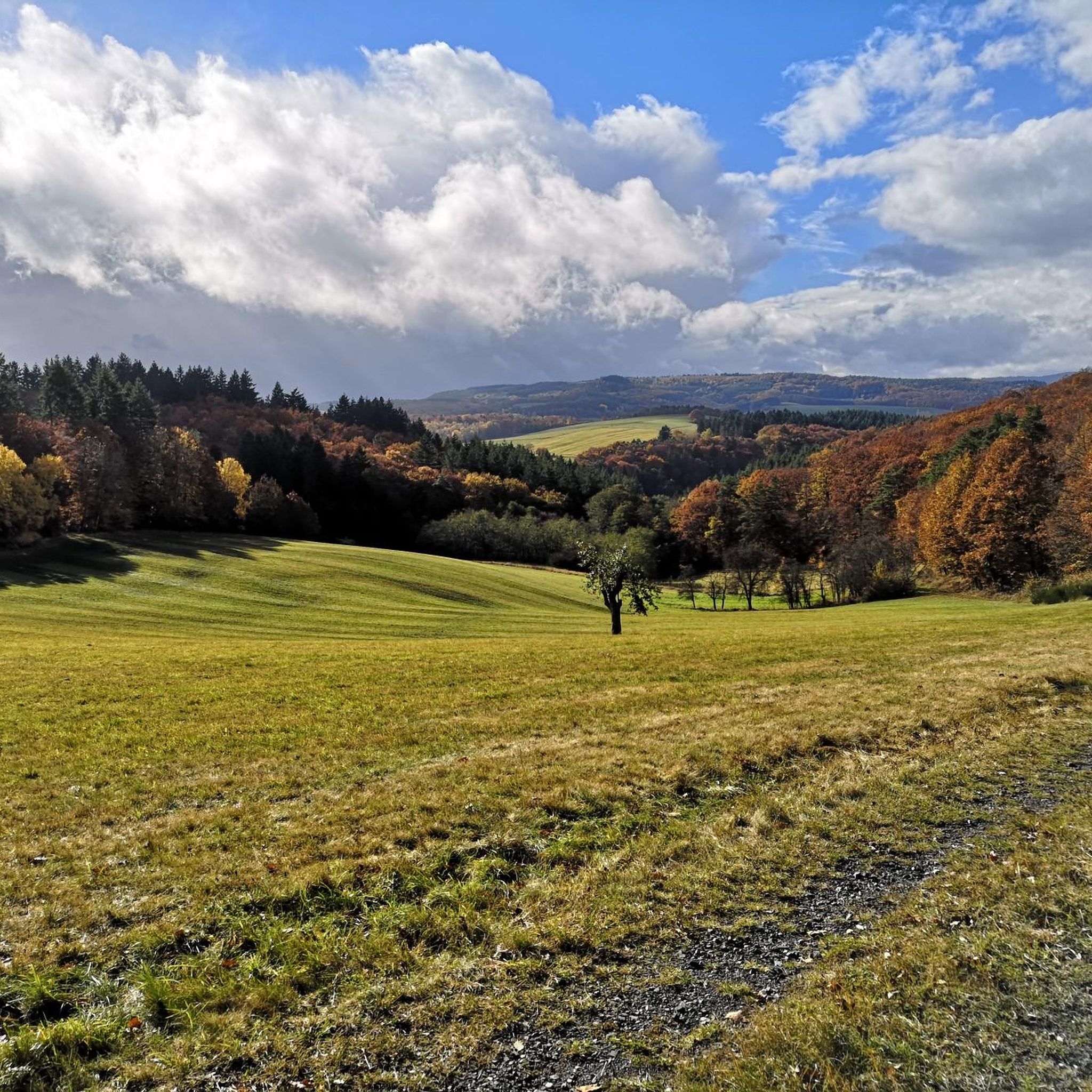
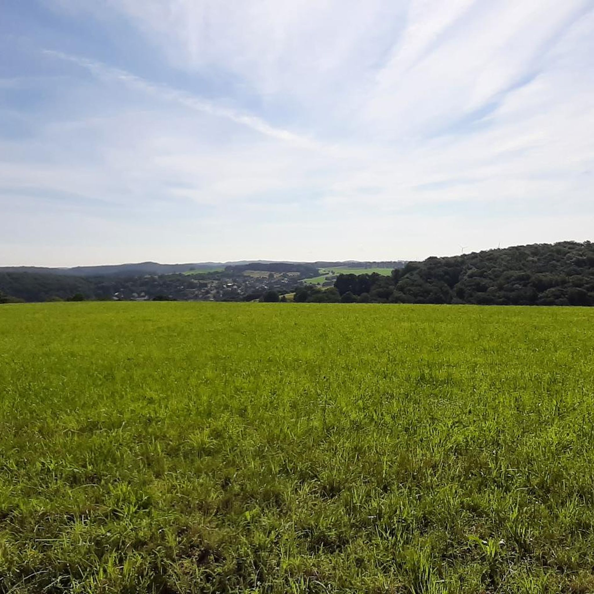
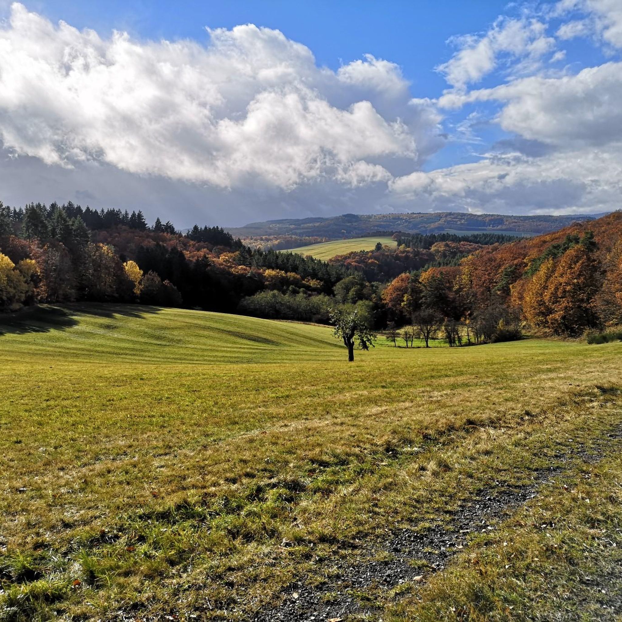
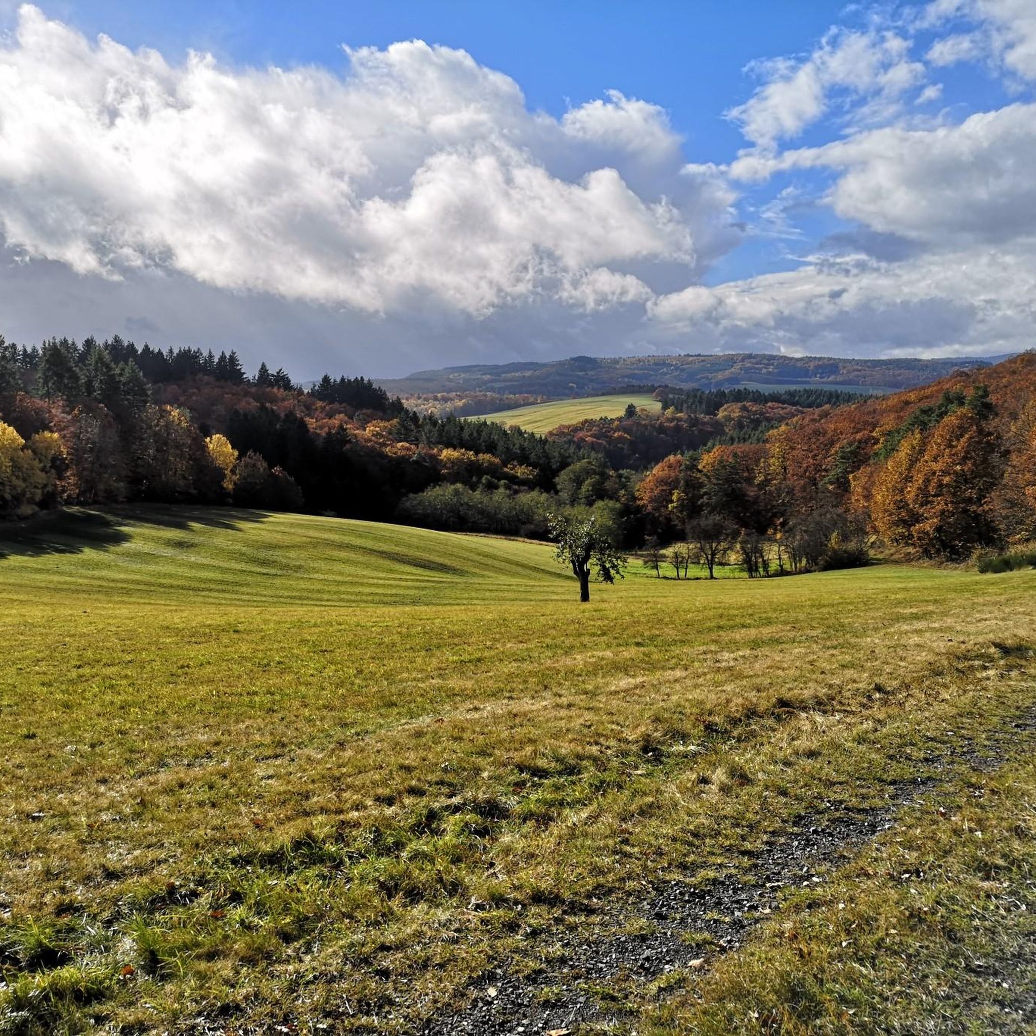
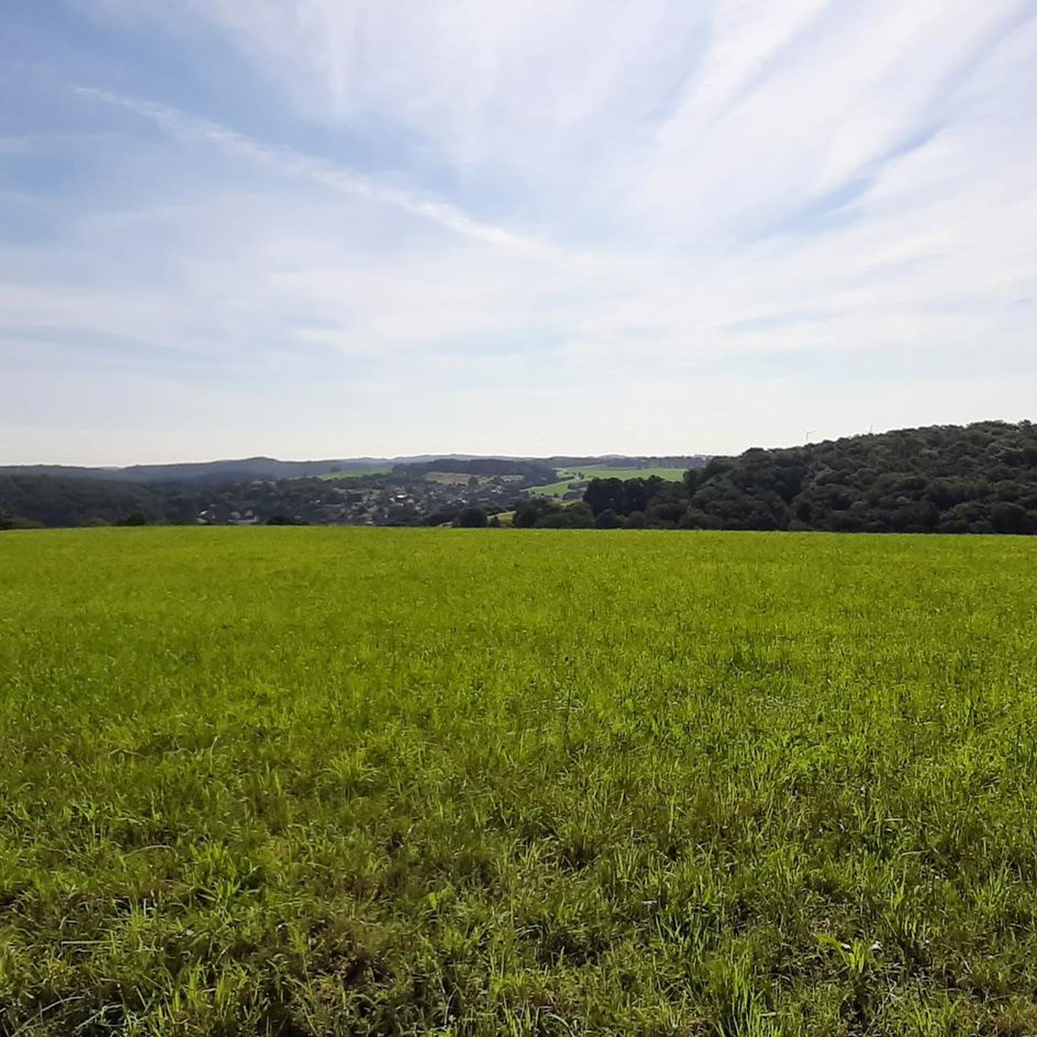
Gravel biking around Oberreidenbach features a landscape characterized by rolling hills, dense forests, and river valleys, offering varied terrain for cyclists. The region, part of the Hunsrück-Nahe area, includes significant elevation gains, with many routes climbing over 500 meters. Trails often lead through secluded woodlands and expansive meadows, providing a mix of surfaces suitable for gravel bikes. This area is known for its challenging climbs and scenic viewpoints.
Best gravel bike trails around Oberreidenbach
- The most popular gravel bike trail…
Last updated: July 2, 2026
3.0
(1)
6
riders
63.3km
04:03
830m
830m
Hard gravel ride. Very good fitness required. Mostly paved surfaces. Suitable for all skill levels.
5
riders
Hard gravel ride. Very good fitness required. Mostly paved surfaces. Suitable for all skill levels.

Sign up for free
1
riders
80.2km
05:28
1,360m
1,360m
Hard gravel ride. Very good fitness required. Mostly paved surfaces. Suitable for all skill levels.
1
riders
64.7km
04:14
890m
890m
Hard gravel ride. Very good fitness required. You may need to push your bike for some segments of this route.
Get access to more routes and recommendations from other explorers.
Sign up for free
Already have an account?
Our route recommendations are based on thousands of hikes, rides, and runs completed by other people on komoot.
Start today with a free account
Your next adventure awaits.
Login or Signup
Tips from the Community

It's very shallow here because there's a car underpass, great for kids too
0
0
Can be ridden super and around the elevations nice
0
0

One of the nicer views.
0
0

Beautiful spot with lots of water
0
0
Simply a very impressive building.
0
0
Very cool bike path 🚴♂️
0
0
Impressive building 🏘️ a must-see
0
0

The dam is now accessible to the public.
0
0
Frequently Asked Questions
What is the general difficulty level of gravel bike trails around Oberreidenbach?
Gravel biking around Oberreidenbach is primarily suited for experienced riders. The region features significant elevation gains, with most routes climbing over 500 meters and rated as difficult. Out of 13 available routes, 11 are classified as difficult, and 2 as moderate.
Are there any beginner-friendly gravel bike routes in Oberreidenbach?
The gravel bike trails around Oberreidenbach are generally challenging, with most routes rated as difficult. While there are 2 moderate routes, true beginner-friendly options are limited due to the hilly terrain and significant elevation gains characteristic of the Hunsrück region.
What kind of terrain can I expect on gravel bike trails near Oberreidenbach?
You can expect varied terrain characterized by rolling hills, dense forests, and river valleys. Trails often lead through secluded woodlands and open areas, providing a mix of surfaces suitable for gravel bikes. The region is known for its challenging climbs and scenic viewpoints.
Are there any circular gravel bike routes available?
Yes, many of the gravel bike routes around Oberreidenbach are circular. For example, you can explore the Jammereiche – View of Idarkopf loop from Kirn, a 63.1 km route with extensive views, or the Eselbrücke Kohlenhütte – Antestal Trail Entrance loop from Fischbach-Weierbach, which navigates through the Antestal valley.
What are some scenic viewpoints or natural attractions along the gravel bike trails?
The region offers numerous scenic viewpoints and natural attractions. You might encounter the Trübenbach Waterfall, the Kammerwoog Reservoir, or the dramatic Teufelsgraben. Many routes, like the Jammereiche – View of Idarkopf loop from Kirn, offer extensive views, including the Idarkopf.
How long do the gravel bike trails typically take to complete?
The duration varies depending on the route and your pace. For instance, the Jammereiche – View of Idarkopf loop from Kirn is a longer ride, typically taking around 4 hours 4 minutes. A shorter option like the View of the Antestal Valley – Antestal Trail Entrance loop from Sienhachenbach can be completed in about 3 hours 9 minutes.
What do other gravel bikers say about the trails in Oberreidenbach?
The gravel bike routes in Oberreidenbach are highly rated by the komoot community, with an average score of 4.7 stars from 6 reviews. Many of the 41 visitors praise the varied terrain, challenging climbs, and the beautiful, secluded woodlands.
Are there any lakes or reservoirs accessible from the gravel bike routes?
Yes, the area around Oberreidenbach features several lakes and reservoirs. You might find yourself near the Kammerwoog Reservoir, the Baumholder Town Pond, or the Kirschrother Weiher, offering picturesque spots along your ride.
What is the best time of year to go gravel biking in Oberreidenbach?
While specific conditions vary, the Hunsrück region generally offers good gravel biking from spring through autumn. During these seasons, the weather is typically more favorable, and the forest trails are in better condition. Winter conditions can be challenging due to potential snow and ice.
Are there any routes that pass by historical or cultural landmarks?
Some routes offer glimpses of local landmarks. For example, the Kirn Market Square – Oberstein Castle Pond loop from Kirn provides a connection to Kirn's market square and the area around Oberstein Castle Pond, offering a mix of nature and local points of interest.
How many gravel bike trails are available in the Oberreidenbach area?
There are 13 gravel bike trails available around Oberreidenbach, offering a range of challenging routes through the diverse landscape of the Hunsrück region.
What are some of the longer, more challenging gravel bike routes?
For a longer and more challenging ride, consider the Jammereiche – View of Idarkopf loop from Kirn, which covers 63.1 km with over 830 meters of elevation gain. Another demanding option is the Fischbach Copper Mine – Sonnenscheid Viewpoint loop from Georg-Weierbach, spanning 47.1 km with over 625 meters of ascent.
Most popular attractions around Oberreidenbach

Get inspired with the komoot mobile app


Explore more
Browse the best Gravel rides in other regions.
