The best gravel rides around Mettweiler
5.0
(4)
48
riders
15
rides
Gravel biking around Mettweiler features a landscape characterized by rolling hills, forested sections, and former railway lines converted into scenic trails. The region offers diverse terrain suitable for gravel bikes, including paths alongside water bodies and routes utilizing historic viaducts. Situated on the edge of the Saar-Hunsrück Nature Park, the area provides access to varied topography with a mix of compacted gravel and paved sections. The Hunsrück-Hochwald National Park further enhances the natural appeal with extensive forests and tranquil streams.
…Last updated: May 22, 2026
5.0
(2)
15
riders
37.1km
02:10
390m
390m
Moderate gravel ride. Good fitness required. Mostly paved surfaces. Suitable for all skill levels.
12
riders
28.1km
01:40
310m
310m
Moderate gravel ride. Good fitness required. Mostly paved surfaces. Suitable for all skill levels.

Sign up for free
5.0
(1)
9
riders
39.3km
02:07
350m
350m
Moderate gravel ride. Good fitness required. Mostly paved surfaces. Suitable for all skill levels.
8
riders
Hard gravel ride. Very good fitness required. Mostly paved surfaces. Suitable for all skill levels.
3
riders
22.3km
01:34
360m
360m
Hard gravel ride. Good fitness required. You may need to push your bike for some segments of this route.
Get access to more routes and recommendations from other explorers.
Sign up for free
Already have an account?
Our route recommendations are based on thousands of hikes, rides, and runs completed by other people on komoot.
Start today with a free account
Your next adventure awaits.
Login or Signup
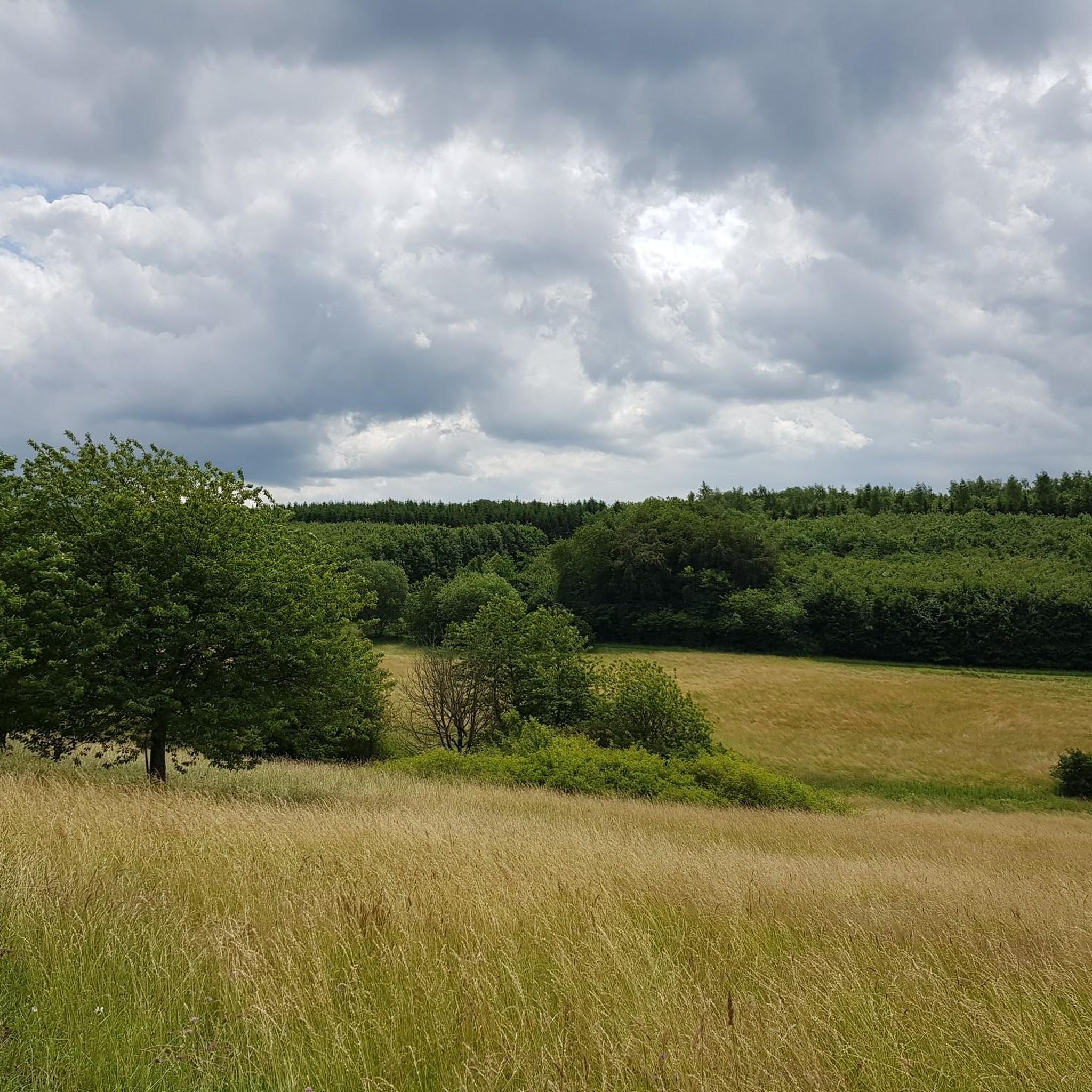
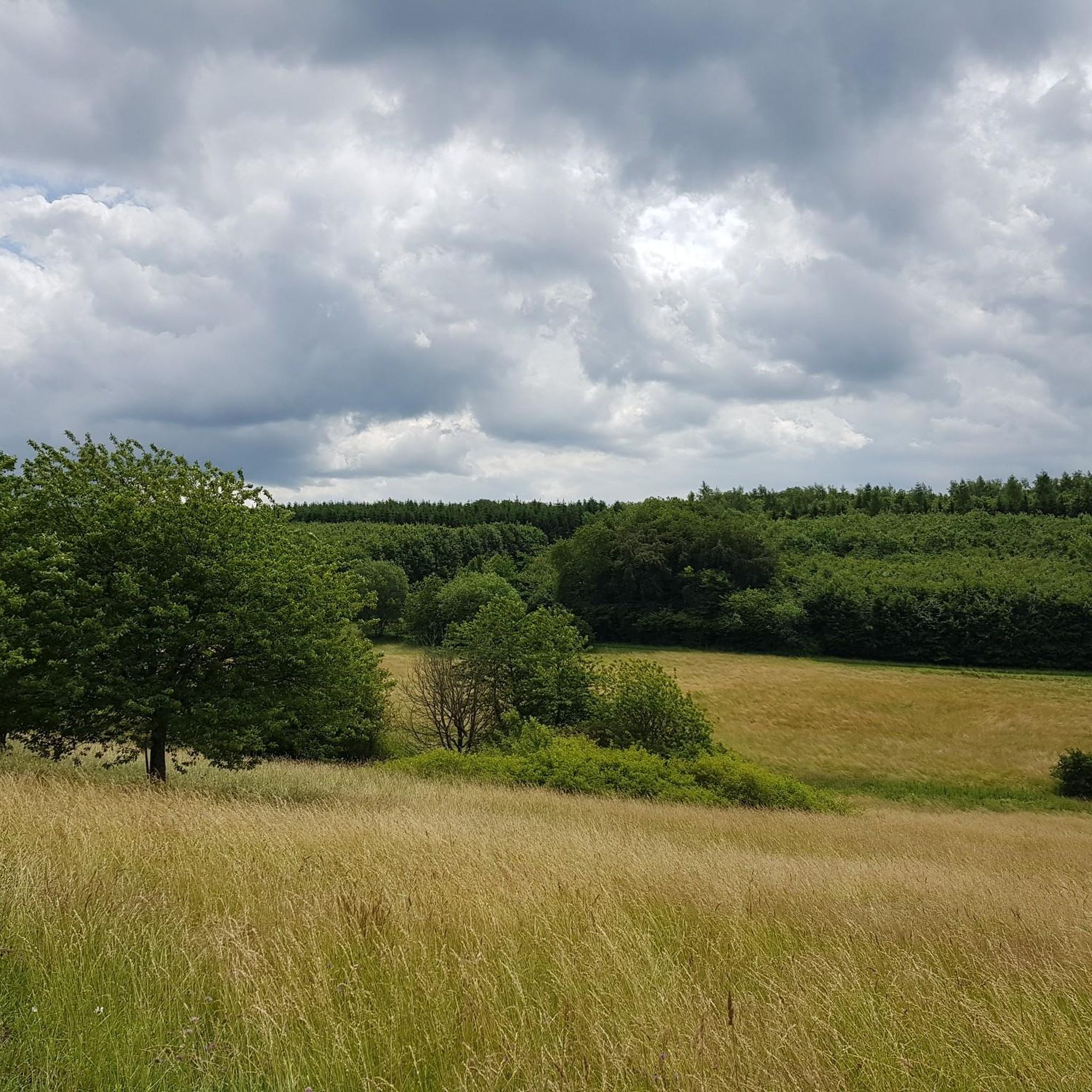
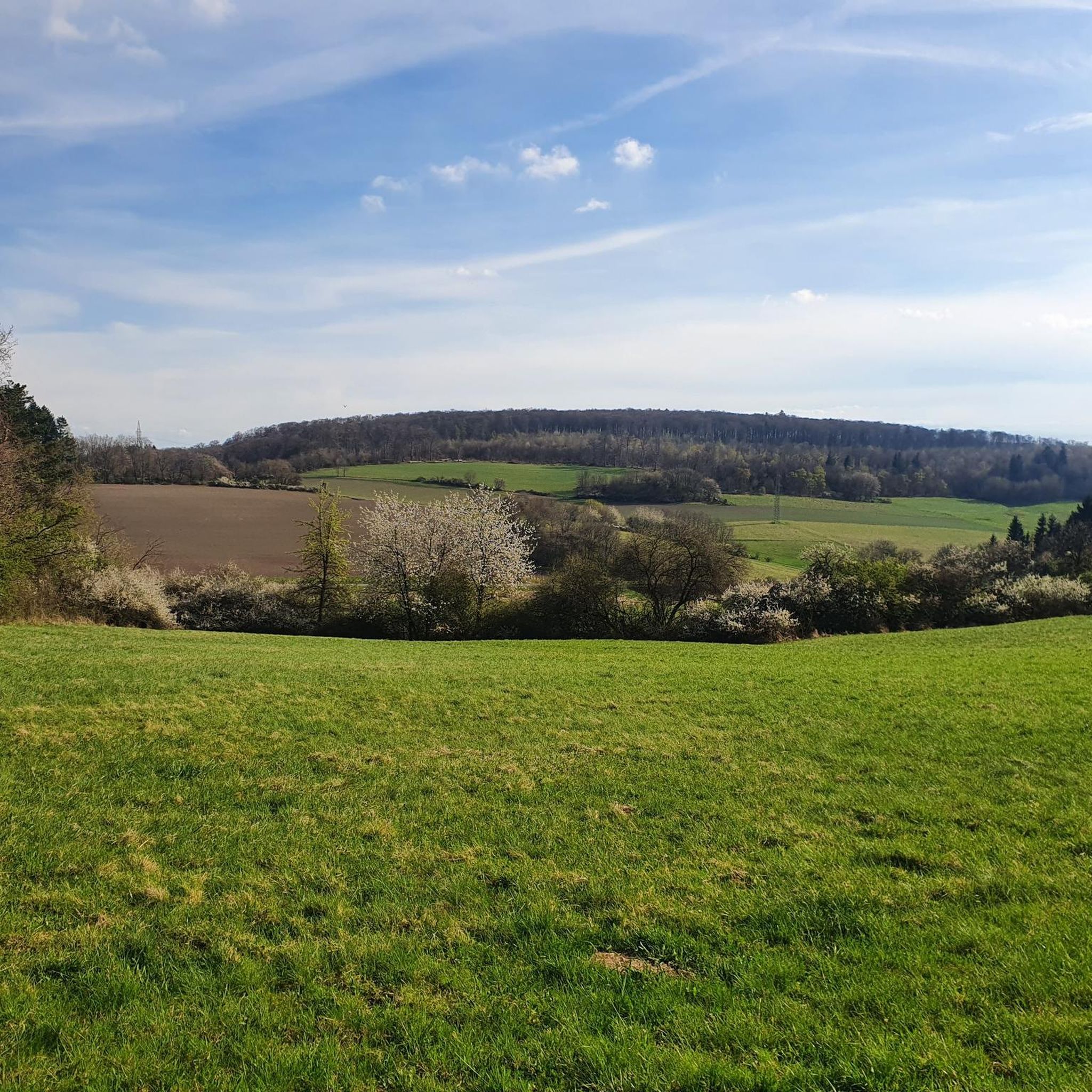
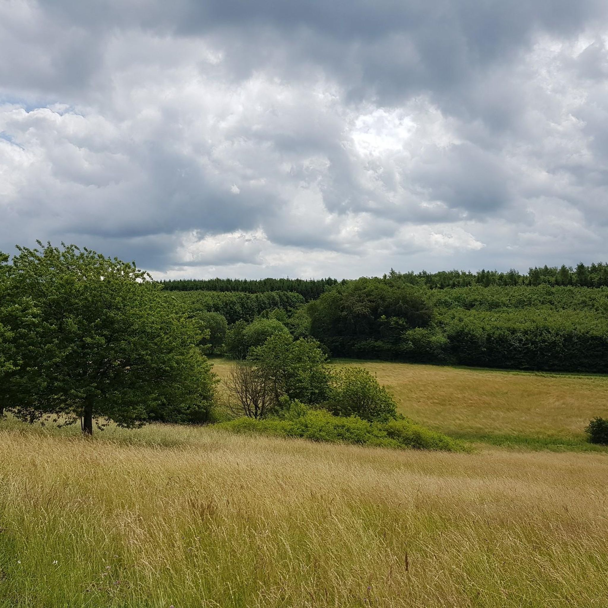
Tips from the Community

Every now and then, you can marvel at the shunting of the trains from the quarry. 🚂🚉👀
4
0
Beautiful, large village square with a pond and playground. There's a parking lot and a train station nearby.
4
0

A very special experience awaits here: The small Ulmet train station is the starting point of the trolley route – and the lovingly planted wagon wheel itself brings color and charm to this place. The railway line, flowers, and seating – perfect for a little breather. 👣 Tip: If you prefer a more relaxed atmosphere, take a seat here, watch the trolleys, or simply enjoy a moment in the sun. The blend of nostalgia and nature is unique.
0
1
A piece of history amidst the countryside: This sandstone bridge not only connects two banks, but also past and present. The view of the structure, with its arches framed by lush greenery, looks like something out of a picture book. 👣 Tip: The bridge invites you to stop for a quick photo stop – especially in the late morning when the light highlights the stone structure. If you like, follow the path to the right and discover other charming corners of the village.
0
1
📍 Near Erdesbach They sit there in the middle of the trail – a wooden man and a woman, quietly sitting side by side on a bench. They gaze out over the landscape as if keeping hikers company. A lovingly carved detail that surprises and invites a smile. 💡 Tip: Be sure to take a quick seat – a photo with the two of them is almost a must. And if you like, you can invent a little story to go with it.
0
1
📍 Between Rathsweiler and Erdesbach Here the path changes sides – over a simple bridge, the trail leads to Ulmet. The Glan River is on the left, fields and meadows on the right, and in front of it, an open view of the small village. A moment of transition – quiet, expansive, and almost symbolic of this relaxing hike. 💡 Tip: If you stop for a moment, you can see the reflection in the water – or simply take a deep breath before continuing on towards enjoyment and nature.
0
1

Very well developed. Good signage. Color coding when crossing a road. Exemplary.
3
0

The Fritz Wunderlich Trail is one of the most beautiful railway cycle paths in southwest Germany. https://de.wikipedia.org/wiki/Fritz-Wunderlich-Weg
0
0
Frequently Asked Questions
What kind of terrain can I expect on gravel bike trails around Mettweiler?
The gravel bike trails around Mettweiler feature a diverse landscape, including rolling hills, forested sections, and former railway lines that have been converted into scenic paths. You'll encounter a mix of compacted gravel and paved sections, traversing the rural environment of the Sankt Wendeler Land. Expect moderate elevation changes, with some routes including longer climbs.
Are there any easy or moderate gravel bike routes suitable for beginners or families?
Yes, Mettweiler offers several moderate routes that are suitable for those looking for a less strenuous ride. For example, the Iron Bridge – Sankt Wendeler Land Rail Trail loop from Herchweiler is a moderate 28.1 km path that follows a former railway line, providing a mix of gravel and paved surfaces. Another moderate option is the Oberkirchener Tunnel – Old Railway Bridge loop from Oberkirchen, which is 39.2 km long.
What are some notable sights or landmarks I can see along the gravel routes?
Many routes offer scenic views and pass by interesting landmarks. For instance, the Bostal Lake – View of Bostalsee from the dam loop from Herchweiler provides stunning views of Bostalsee. You can also explore historical sites like Lichtenberg Castle, which is featured on the Lichtenberg Castle – Old Railway Bridge loop from Baumholder. The region also has several historic viaducts, such as those found on the Ostertal Cycle Path – Oberkirchen Viaduct loop from Herchweiler.
Are there any circular gravel bike routes available?
Most of the gravel bike routes around Mettweiler are designed as loops, offering convenient circular journeys. Examples include the Bostal Lake – View of Bostalsee from the dam loop from Herchweiler, the Iron Bridge – Sankt Wendeler Land Rail Trail loop from Herchweiler, and the Ostertal Cycle Path – Oberkirchen Viaduct loop from Herchweiler. These allow you to start and finish at the same point.
What do other gravel bikers say about the trails in Mettweiler?
The gravel biking routes in Mettweiler are highly regarded by the komoot community, with an average rating of 4.8 stars from over 20 reviews. Users frequently praise the varied terrain, the scenic views, and the well-maintained paths, especially those along former railway lines.
What is the best time of year for gravel biking in Mettweiler?
The Mettweiler region is generally suitable for gravel biking from spring through autumn, when the weather is mild and the trails are dry. Spring brings blooming landscapes, while autumn offers beautiful foliage. While winter riding is possible, be prepared for colder temperatures and potentially wet or icy conditions on some sections.
Are there any routes that follow old railway lines?
Yes, several gravel bike routes in Mettweiler utilize former railway lines, which often provide relatively flat and well-compacted surfaces. A great example is the Iron Bridge – Sankt Wendeler Land Rail Trail loop from Herchweiler, which combines gravel and paved sections along an old railway. The Oberkirchener Tunnel – Old Railway Bridge loop from Oberkirchen also incorporates sections of former railway.
What are the typical distances and elevation gains for gravel bike routes in this area?
The routes vary significantly in length and elevation. Moderate trails like the Iron Bridge – Sankt Wendeler Land Rail Trail loop from Herchweiler are around 28 km with about 300 meters of elevation gain. More difficult routes, such as the Bostal Lake – View of Bostalsee from the dam loop from Herchweiler, can be over 55 km long with more than 570 meters of climbing.
Are there opportunities to visit castles or historical sites directly from the trails?
Absolutely. The region around Mettweiler is rich in history. For example, the Lichtenberg Castle – Old Railway Bridge loop from Baumholder offers a chance to see Lichtenberg Castle. Other historical highlights in the broader area include Frauenburg Castle Ruins and the Ruins of the Burghaus in the Valley at Frauenberg, which can be explored as part of a longer ride or a separate visit.
Can I find cafes or pubs along the gravel bike routes in Mettweiler?
While specific cafes or pubs directly on every trail are not guaranteed, many routes pass through or near small towns and villages where you can find opportunities for refreshments. Planning your route in advance and checking for amenities in towns like Herchweiler or Oberkirchen will help you find suitable stops.
What are the parking options for accessing gravel bike trails in Mettweiler?
Many of the gravel bike routes around Mettweiler start from villages like Herchweiler, Oberkirchen, or Baumholder. These locations typically offer public parking facilities, often near community centers or trailheads, making it convenient to begin your ride. Always check local signage for specific parking regulations.
Are there any caves or unique natural features to explore near the gravel trails?
Beyond the trails, the Mettweiler area also features interesting natural formations. You can find caves such as the Wildfrauenloch (Wild Women's Cave) or Odel's Uwe Cave. While not directly on every gravel route, these can be points of interest for a combined biking and exploration trip.
Most popular attractions around Mettweiler

Get inspired with the komoot mobile app


Explore more
Browse the best Gravel rides in other regions.
