The best gravel rides around Lauschied
4.8
(5)
20
riders
4
rides
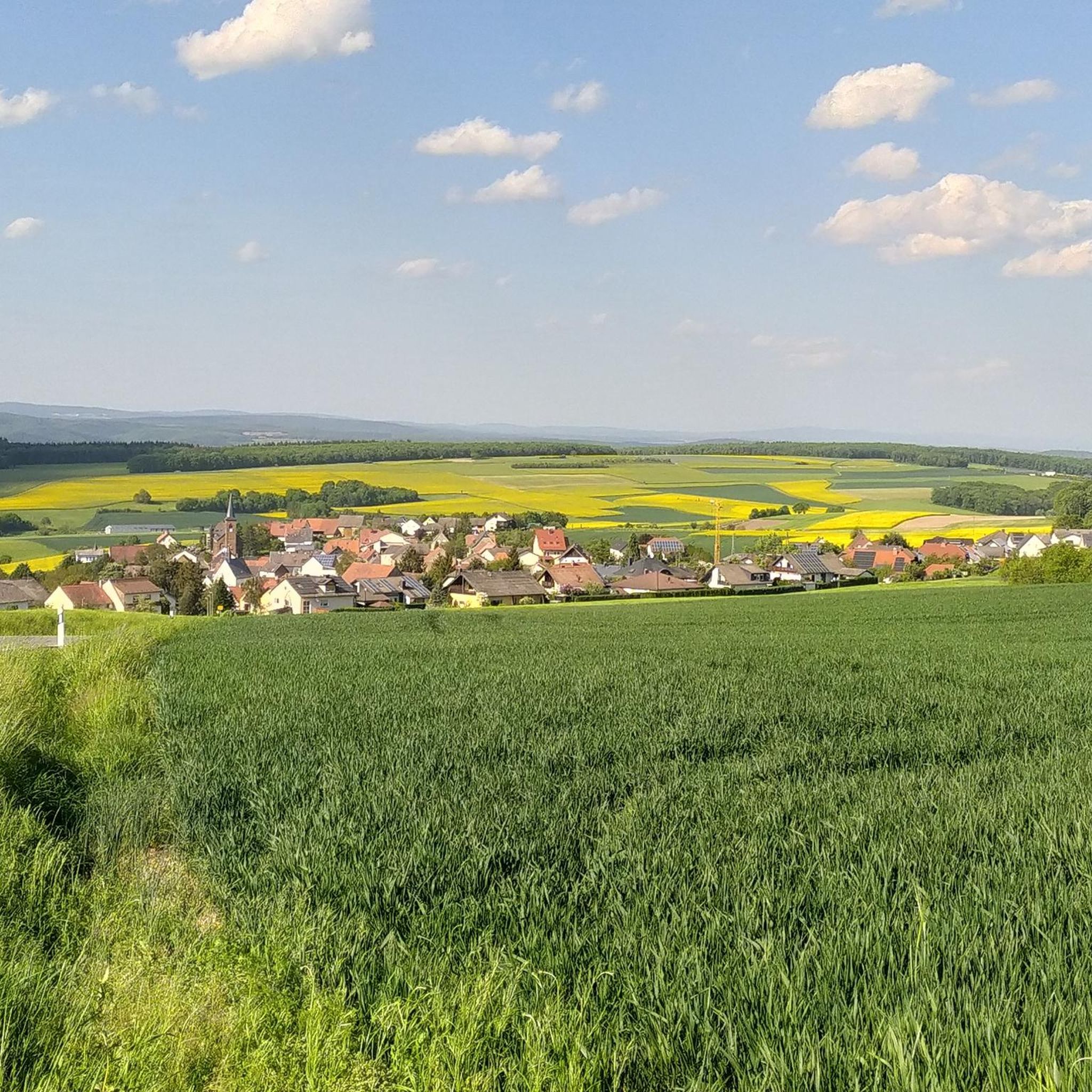
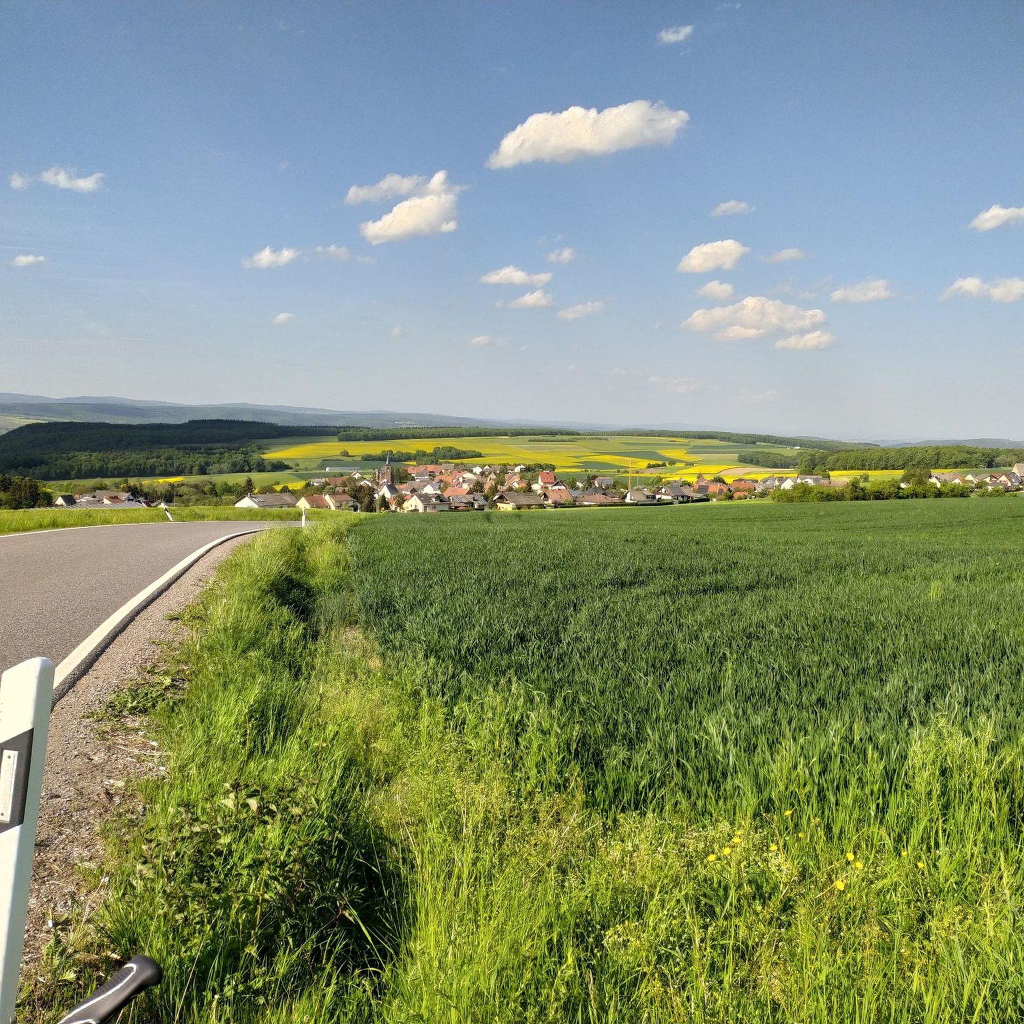
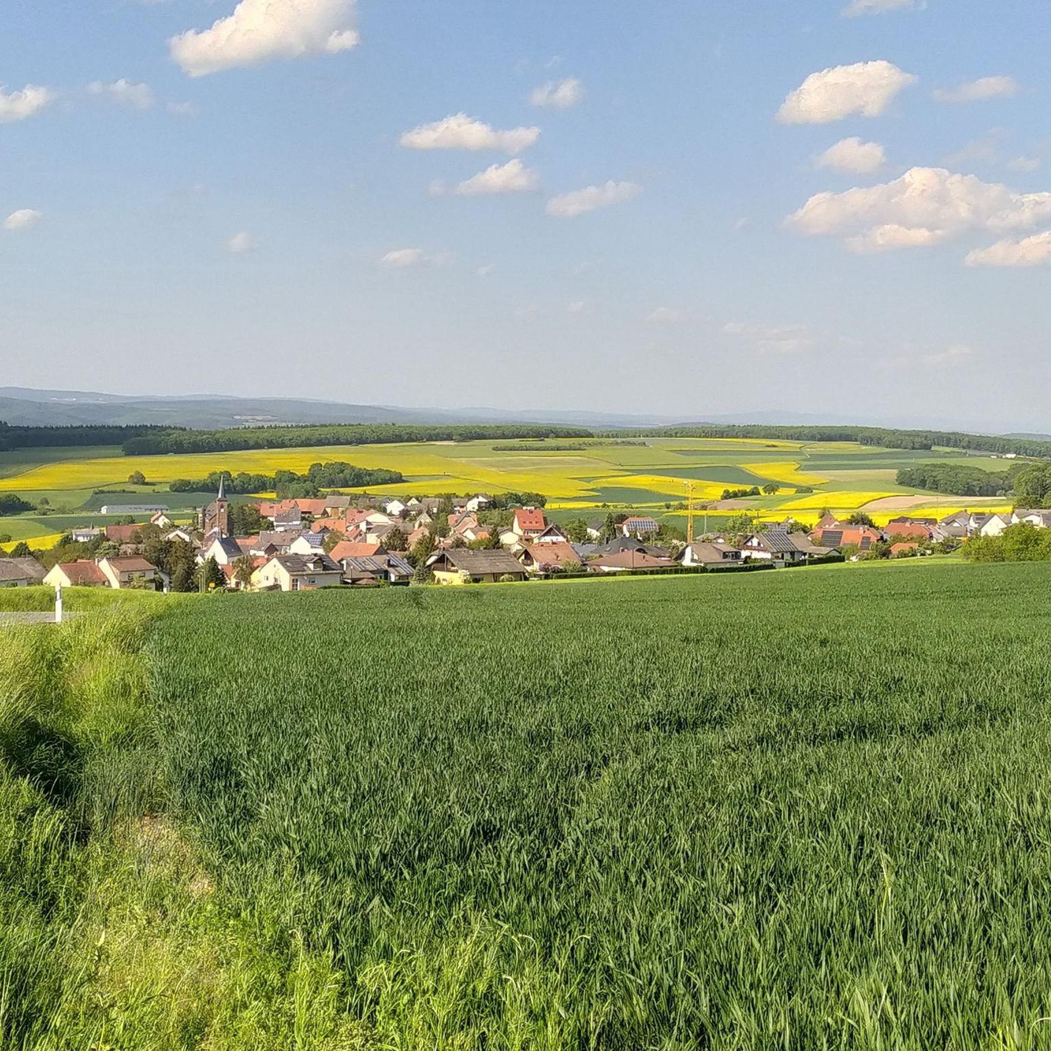
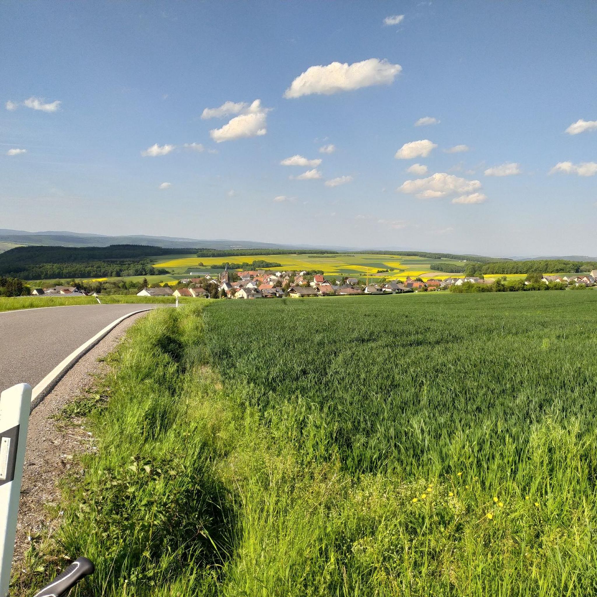
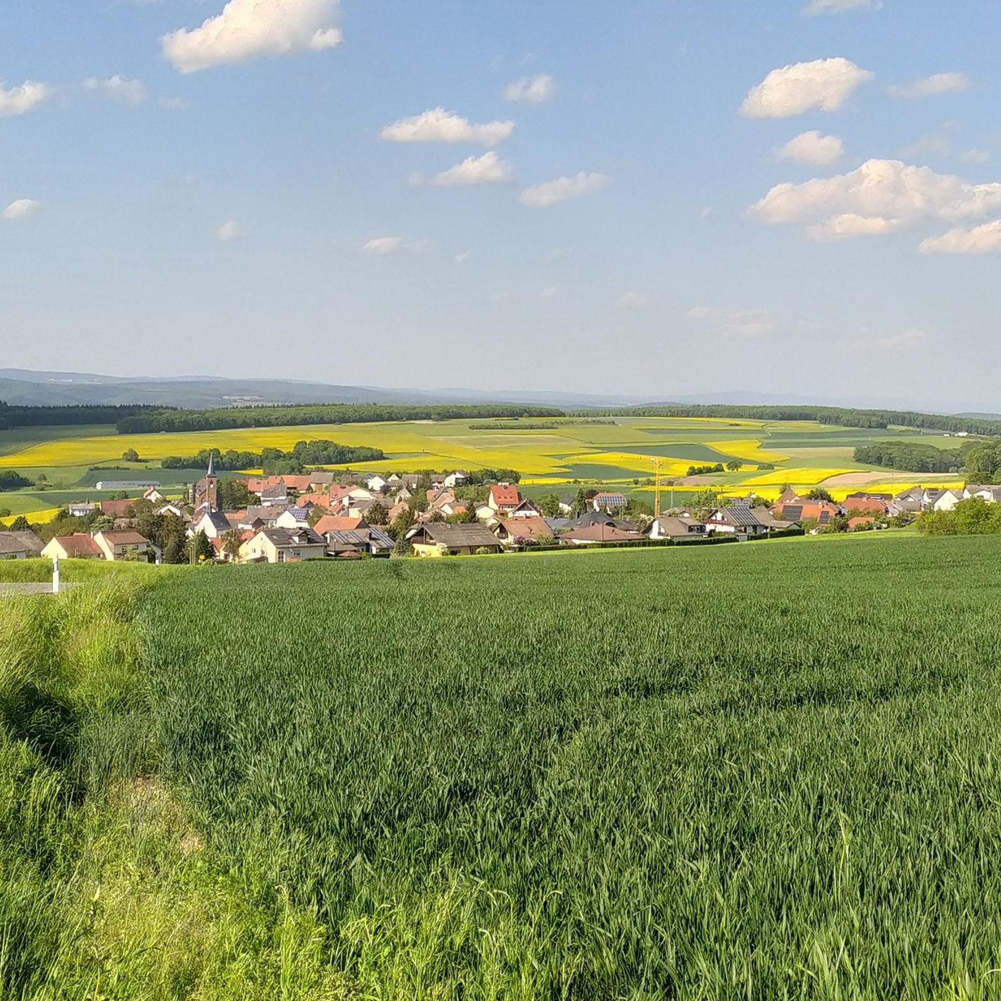
Gravel biking around Lauschied features a landscape characterized by undulating terrain, river valleys, and forested sections. The Hunsrück region provides a diverse backdrop of rolling hills and deep forests, offering varied riding experiences. Elevation changes are common, with routes often including significant climbs and descents. The trails provide access to viewpoints and natural features, making the area suitable for exploring on a gravel bike.
Best gravel bike trails around Lauschied
- The most popular gravel bike trail is View from Limbacher…
Last updated: August 26, 2026
4.8
(5)
7
riders
Hard gravel ride. Good fitness required. You may need to push your bike for some segments of this route.
1
riders
41.0km
02:49
680m
680m
Hard gravel ride. Very good fitness required. You may need to push your bike for some segments of this route.

Sign up for free
2
riders
26.0km
01:32
370m
370m
Moderate gravel ride. Good fitness required. Mostly paved surfaces. Suitable for all skill levels.
2
riders
Hard gravel ride. Very good fitness required. Mostly paved surfaces. Suitable for all skill levels.
2
riders
47.9km
03:20
1,000m
1,000m
Hard gravel ride. Very good fitness required. Mostly paved surfaces. Suitable for all skill levels.
Our route recommendations are based on thousands of hikes, rides, and runs completed by other people on komoot.
Start today with a free account
Your next adventure awaits.
Login or Signup
Tips from the Community

The idyllic historic complex is called Stadtmühle (not Schöneberger Mühle) and is picturesquely situated on the Mühlengraben directly on the Naheradweg between Bad Sobernheim and Meddersheim.
0
0

Very good shots and explanations
0
0

Spacious recreational area with a pond, foot bath, and large children's playground, barbecue area, sanitary facilities. Reservation of the area via the local mayor.
0
0

Beautiful section of the route along the Nahe
0
0
Very nice cycle path 🚴♂️
0
0
Great old bridge, definitely worth seeing!
0
0
Frequently Asked Questions
What is the general difficulty level of gravel bike trails around Lauschied?
The gravel biking routes around Lauschied are generally challenging. The guide features 10 difficult routes and 4 moderate routes, with no easy options, indicating a focus on more demanding terrain suitable for experienced gravel bikers.
Are there any family-friendly gravel bike trails in Lauschied?
Given that all listed routes are either moderate or difficult, with a strong emphasis on challenging terrain, the gravel bike trails directly around Lauschied may not be suitable for young children or beginners. Riders should be comfortable with significant climbs and descents.
What is the typical length and duration of gravel bike trails in the Lauschied area?
Gravel bike trails in Lauschied vary in length and duration. For example, the View from Limbacher Höhe – View of Meckenbach loop from Hochstetten (Nahe) is 13.3 miles (21.4 km) and takes about 1 hour 58 minutes, while the Nahe Wine Region Vineyards – View of Rotenfels Cliff loop from Obermoschel is a longer 32.8 miles (52.8 km) route.
What kind of terrain can I expect on gravel bike trails around Lauschied?
The terrain around Lauschied is characterized by undulating hills, river valleys, and forested sections. You'll encounter a mix of surfaces, including paths through vineyards in the Nahe Wine Region, and routes with significant elevation changes, offering varied riding experiences.
Are there any circular gravel bike trails available near Lauschied?
Yes, many of the gravel bike routes around Lauschied are designed as loops. For instance, the Glan-Blies Cycle Path – Glan Bridge in Wiesweiler loop from Lettweiler is a 29.0 miles (46.7 km) circular trail that takes you through river valleys.
What are some scenic viewpoints or natural features I can see along the gravel bike routes?
The region offers several scenic spots. You can enjoy views from Limbacher Höhe on the View from Limbacher Höhe – View of Meckenbach loop from Hochstetten (Nahe) route, or take in the Rotenfels Cliff views along the Nahe Wine Region Vineyards – View of Rotenfels Cliff loop from Obermoschel. The area also features the Scenic Road Through the Vineyards and Reservoir in Naturpark Soonwald-Nahe.
What do other gravel bikers enjoy most about the trails in Lauschied?
The gravel bike trails in Lauschied are highly rated by the komoot community, with an average score of 4.5 stars from over 9 reviews. Riders often praise the varied terrain, the scenic views, and the challenging nature of the routes through river valleys, vineyards, and forests.
Are there any interesting historical sites or natural monuments near the gravel biking routes?
Yes, the area around Lauschied has several points of interest. You can find the Disibodenberg Monastery Ruins, the Oberhäuser Gate, and the Hellersberger Weiher Nature Reserve. The Eckweiler Deserted Village – Schinderhannes Cave loop from Bad Sobernheim also passes by historical locations.
What is the best time of year for gravel biking in Lauschied?
Spring and autumn generally offer the most pleasant conditions for gravel biking in Lauschied, with milder temperatures and beautiful scenery. While some routes may be accessible in winter, be prepared for potentially muddy or icy conditions, especially in forested areas and higher elevations.
Are there any lakes or ponds accessible from the gravel bike trails?
Yes, the region features several beautiful water bodies. You might encounter the Idyllic Forest Pond, Biet Pond and Medicinal Herb Garden, or the Fish Pond, which can offer pleasant stops along your ride.
Where can I find parking for gravel biking routes near Lauschied?
While specific parking areas are not detailed for every route, it is common to find designated parking at trailheads or in nearby villages that serve as starting points for these routes. Many routes, like the Niederhausen Dam – Schmittenstollen Visitor Mine loop from Bad Sobernheim, often start from towns with public parking facilities.
Most popular attractions around Lauschied

Get inspired with the komoot mobile app


Explore more
Browse the best Gravel rides in other regions.
