The best gravel rides around Staudernheim
4.5
(2)
36
riders
16
rides
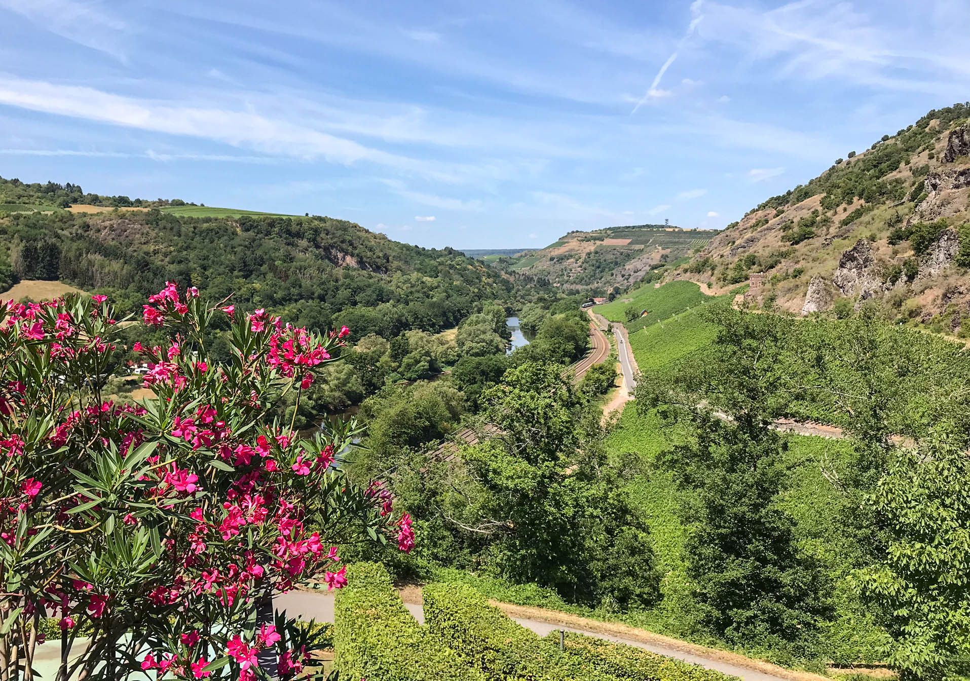
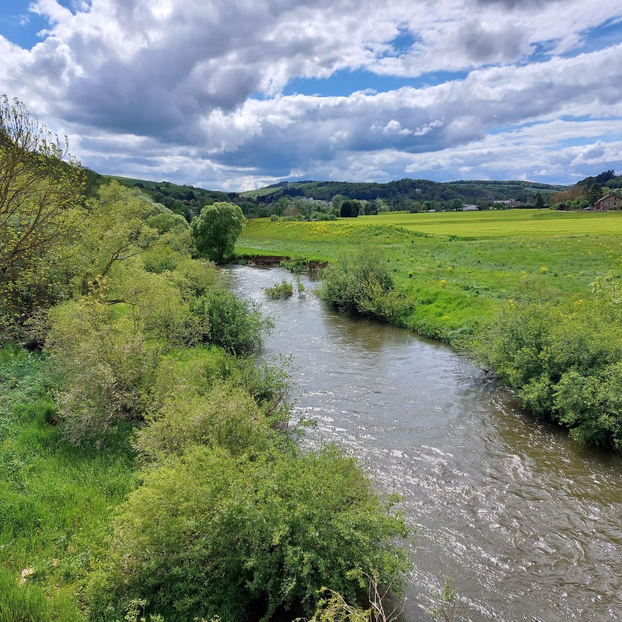
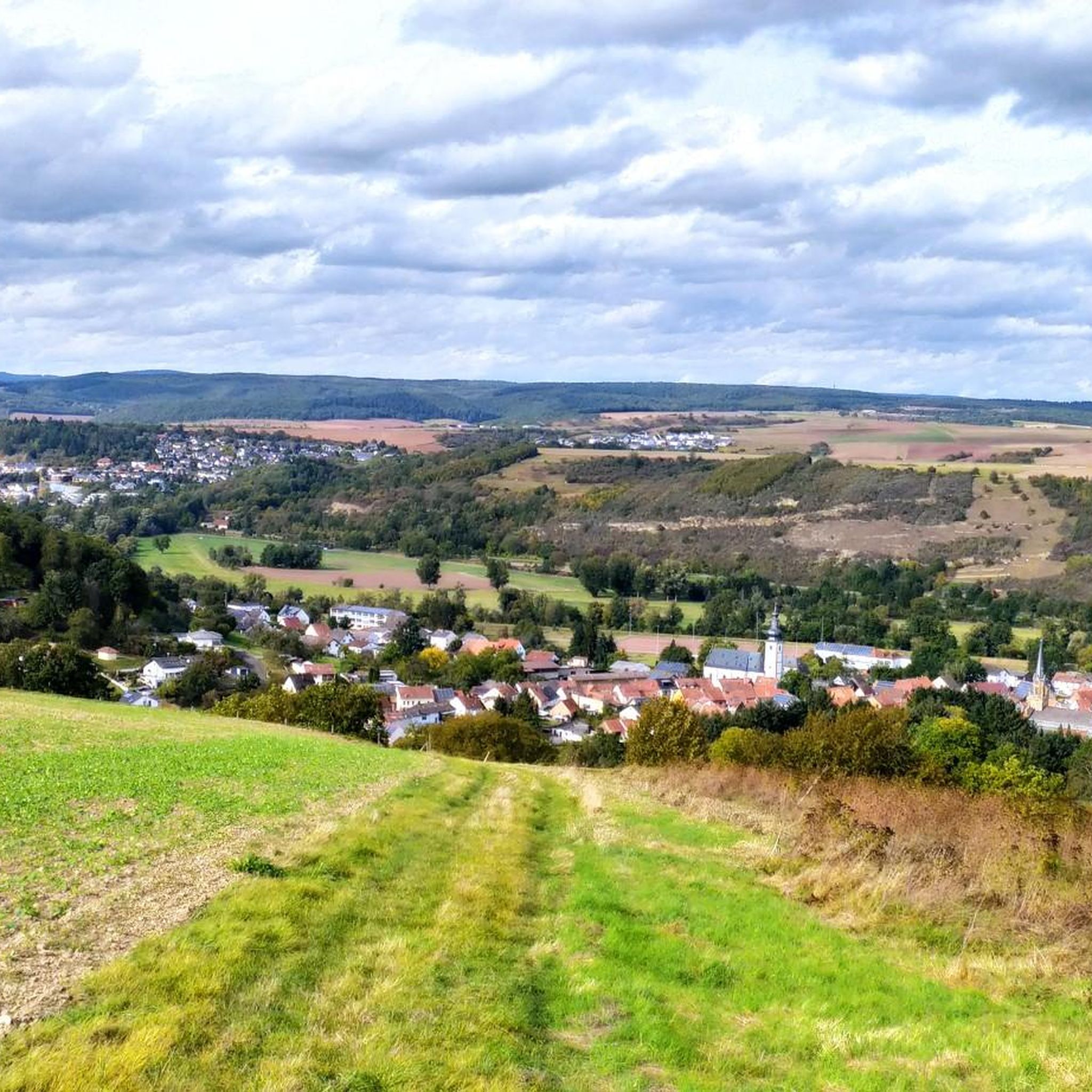
Gravel biking around Staudernheim offers routes through the Nahe Wine Region, characterized by river valleys, vineyards, and rocky outcrops. The landscape features a mix of open agricultural areas and forested sections, providing varied terrain for gravel cyclists. Elevations range from gentle riverside paths along the Glan River to more challenging climbs offering views of historic castles and cliffs. The region's diverse topography, including the Soonwald-Nahe Nature Park, provides a constantly changing backdrop for gravel biking.
Best gravel bike trails around…
Last updated: July 2, 2026
4.0
(1)
4
riders
22.3km
01:25
180m
180m
Moderate gravel ride. Good fitness required. Mostly paved surfaces. Suitable for all skill levels.
2
riders
46.5km
03:20
750m
750m
Hard gravel ride. Very good fitness required. Mostly paved surfaces. Suitable for all skill levels.

Sign up for free
1
riders
41.0km
02:49
680m
680m
Hard gravel ride. Very good fitness required. You may need to push your bike for some segments of this route.
2
riders
26.0km
01:32
370m
370m
Moderate gravel ride. Good fitness required. Mostly paved surfaces. Suitable for all skill levels.
1
riders
19.4km
01:36
400m
400m
Hard gravel ride. Good fitness required. You may need to push your bike for some segments of this route.
Get access to more routes and recommendations from other explorers.
Sign up for free
Already have an account?
Our route recommendations are based on thousands of hikes, rides, and runs completed by other people on komoot.
Start today with a free account
Your next adventure awaits.
Login or Signup
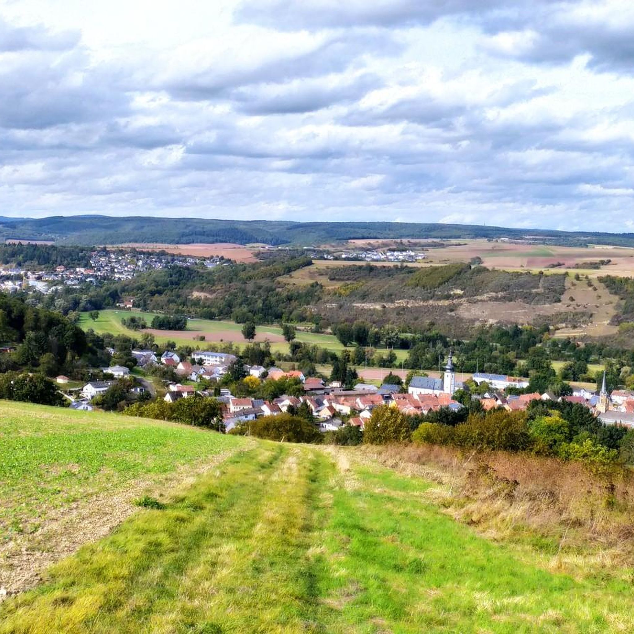
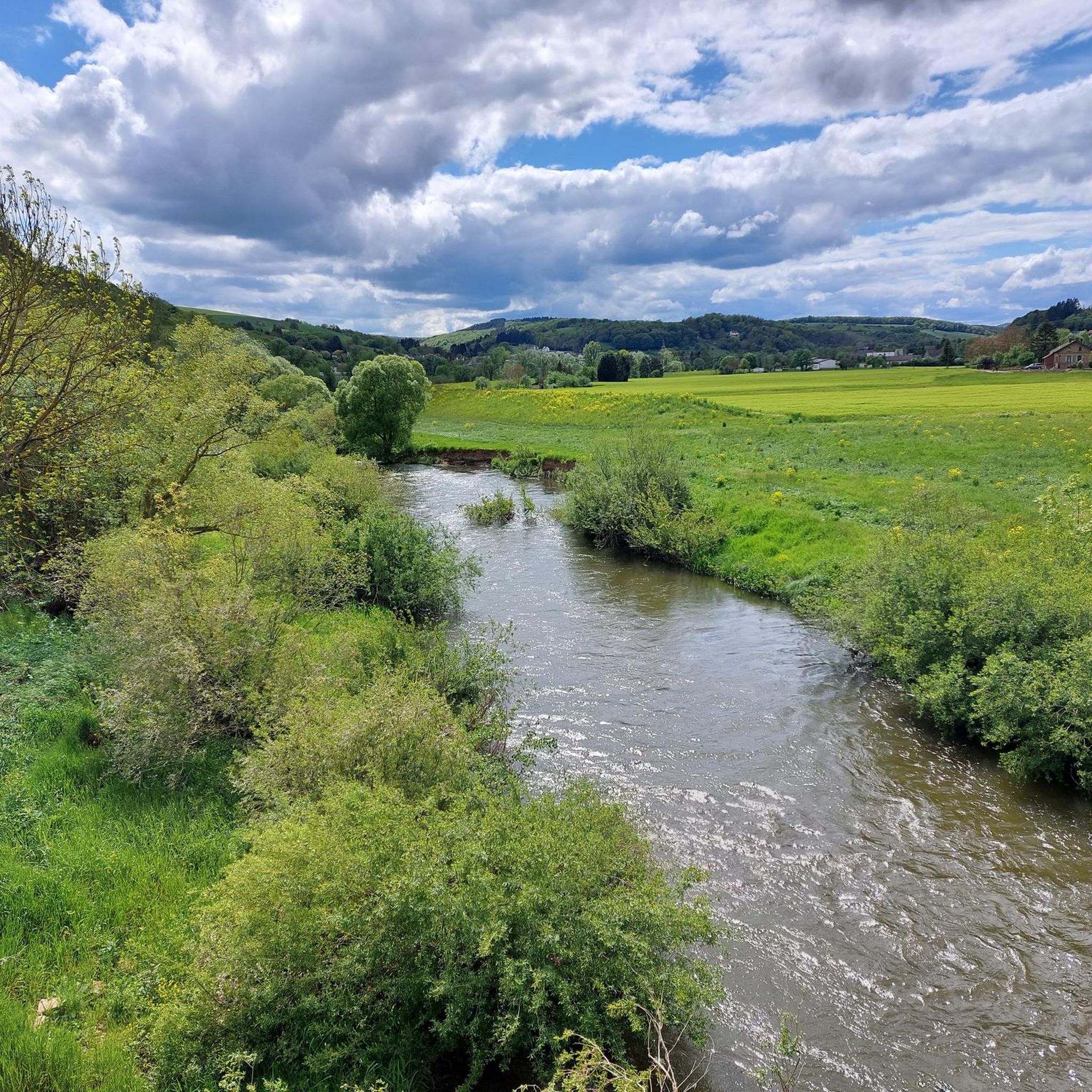
Other adventures around Staudernheim

Tips from the Community

Beautiful section of the route along the Nahe
0
0
Very nice cycle path 🚴♂️
0
0
Great old bridge, definitely worth seeing!
0
0
A very good place to take a break.
1
0

For over 100 years, the Hermannshöhle has been the highest-rated vineyard in the Nahe region for tax purposes and is therefore the benchmark for the valuation of all other vineyards in the area.
1
0

wonderful to cycle through here
1
0
Great path directly along the stream
0
0
Frequently Asked Questions
What is the general difficulty level of gravel bike trails around Staudernheim?
The Staudernheim area offers a diverse range of gravel bike trails. You'll find a good mix of routes, with 13 classified as moderate and 20 as difficult, catering to various skill levels. While there are no easy-rated gravel-specific tours, moderate options like the View of Ebernburg Castle – View of Rotenfels Cliff loop from Altenbamberg provide a good challenge without being overly strenuous.
What is the typical length and duration of gravel bike trails in the Staudernheim area?
Gravel bike trails around Staudernheim vary significantly in length. You can find shorter loops, such as the View of Rheingrafenstein Castle – View of Rotenfels Cliff loop from Oberhausen an der Nahe, which is about 31 km and takes around 2 hours 10 minutes. Longer adventures, like the Glan-Blies Cycle Path – Along the Glan River loop from Niederhausen, stretch over 93 km and can take more than 6 hours to complete.
Are there any circular gravel bike routes available in Staudernheim?
Yes, many of the gravel bike routes in the Staudernheim region are designed as loops, allowing you to start and end at the same point. Examples include the popular Nahe Wine Region Vineyards – View of Rotenfels Cliff loop from Obermoschel, which takes you through scenic vineyards, or the Glan-Blies Cycle Path – Glan Bridge in Wiesweiler loop from Lettweiler.
What kind of scenery and viewpoints can I expect along the gravel routes near Staudernheim?
The gravel routes around Staudernheim offer stunning and varied scenery. You'll ride through the picturesque Nahe Wine Region, with expansive vineyards and river valleys along the Glan River. Many trails provide impressive views of historic landmarks like Ebernburg Castle and the dramatic Rotenfels Cliff, which is one of Europe's highest rock faces north of the Alps.
What is the best time of year for gravel biking in Staudernheim?
The Nahe Wine Region, including Staudernheim, is generally pleasant for gravel biking from spring through autumn. Spring brings blooming landscapes, while autumn offers vibrant fall colors and the grape harvest season. Summer is also suitable, but be prepared for warmer temperatures, especially in open vineyard areas. Winter conditions can vary, with potential for colder weather and occasional snow or ice, making some trails less accessible.
Are there any gravel bike trails suitable for families with children in Staudernheim?
While there are no routes specifically rated as 'easy' for gravel biking in Staudernheim, some of the moderate trails might be manageable for families with older, experienced children. The region's routes often feature varied terrain and elevation changes. For younger families, consider sections of the Glan River paths that are flatter, though these may not be exclusively gravel. Always check the specific tour details for elevation and surface type before heading out.
Where can I find parking when planning a gravel bike tour in Staudernheim?
Specific parking information is often detailed on individual tour pages. Many routes start from towns or villages like Niederhausen, Altenbamberg, Obermoschel, Lettweiler, or Oberhausen an der Nahe, where public parking options are typically available. It's advisable to check the starting point of your chosen route on komoot for the most accurate parking suggestions.
Are the gravel bike routes around Staudernheim accessible by public transport?
Accessibility by public transport depends on the specific starting point of your chosen route. Staudernheim itself has a train station, and other towns in the Nahe region are connected by local train or bus services. If you plan to use public transport, check the connections to the starting point of your desired gravel tour in advance to ensure a smooth journey.
What do other gravel bikers enjoy the most about gravel biking in Staudernheim?
The komoot community highly rates the gravel biking experience in Staudernheim, with an average score of 4.4 stars from over 8 reviews. Riders frequently praise the diverse landscape, which combines river valleys, vineyards, and challenging rocky outcrops. The mix of open agricultural areas and forested sections provides varied terrain and beautiful views, making each ride unique.
What should I wear for gravel biking in Staudernheim?
Given the varied terrain and potential for elevation changes, layering is key. Technical cycling apparel that wicks moisture is recommended. Depending on the season, you might need a windbreaker or rain jacket. Padded shorts are advisable for comfort on longer rides, and sturdy cycling shoes suitable for both riding and occasional walking on uneven surfaces are beneficial. Always check the weather forecast before your ride.
Are there cafes or places to stop for refreshments along the gravel bike trails?
The gravel routes often pass through or near charming villages and towns within the Nahe Wine Region. These communities typically offer opportunities for refreshments, including cafes, bakeries, and traditional German restaurants (Gasthäuser). It's a good idea to check the map for points of interest or towns along your chosen route to plan your stops for food and drink.
Most popular routes around Staudernheim
Most popular attractions around Staudernheim

Get inspired with the komoot mobile app


Explore more
Browse the best Gravel rides in other regions.
