The best gravel rides around Eckenroth
4.7
(4)
31
riders
39
rides
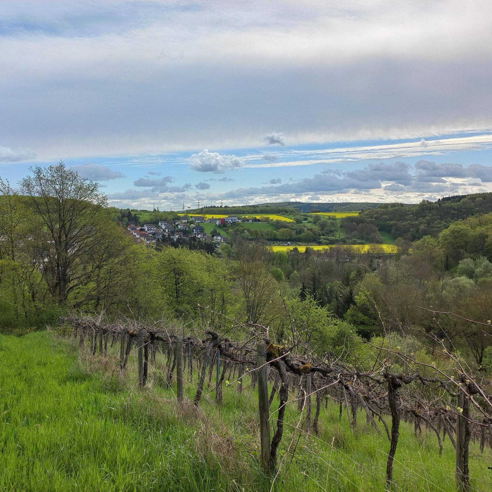
Gravel biking around Eckenroth offers a diverse landscape characterized by rural roads and varied terrain. The region features rolling hills, low mountain ranges, and natural geological formations, providing a mix of challenging climbs and scenic trails. This area, located in the Hunsrück-Nahe region, includes a network of paths that cater to different gravel biking preferences. The terrain around Eckenroth is well-suited for outdoor activities, with its blend of natural and historical points of interest.
Best gravel bike trails around Eckenroth
…Last updated: August 27, 2026
5.0
(1)
6
riders
30.6km
02:15
520m
520m
Hard gravel ride. Very good fitness required. You may need to push your bike for some segments of this route.
2
riders
29.8km
02:24
630m
630m
Hard gravel ride. Very good fitness required. Mostly paved surfaces. Suitable for all skill levels.

Sign up for free
5.0
(2)
14
riders
Easy gravel ride. Great for any fitness level. Mostly paved surfaces. Suitable for all skill levels.
4.0
(1)
7
riders
33.1km
02:16
530m
530m
Hard gravel ride. Very good fitness required. Mostly paved surfaces. Suitable for all skill levels.
2
riders
38.1km
02:49
800m
800m
Hard gravel ride. Very good fitness required. Mostly paved surfaces. Suitable for all skill levels.
Get access to more routes and recommendations from other explorers.
Sign up for free
Already have an account?
Our route recommendations are based on thousands of hikes, rides, and runs completed by other people on komoot.
Start today with a free account
Your next adventure awaits.
Login or Signup
Tips from the Community

Currently fenced off due to wild boar plague and also worst low water.
0
0

From the village center in Weiler, continuing the Heilig Kreuz-Weg, a Stations of the Cross with Stations of the Cross leads north into the Binger Wald. It ends at the "Gedenkstätte Belle Kreuz" in the middle of the forest. The site is equipped with an open-air altar and a 10-meter-high wooden cross. The altar area serves as a memorial for the victims of the Second World War. The first Holy Mass took place here in 1955. As early as 1949, the community was founded to establish a Stations of the Cross. In 1951/52, the Stations of the Cross, made of Mayen basalt, could be erected. The Mainz sculptor Adam Winter created the relief panels for the niches of the stations. Since 1961, the remaining work has been completed.
1
0

Flood levels of the last 100 years
0
0


The Hindenburgbrücke was an important railway bridge over the Rhine, connecting Rüdesheim am Rhein with Bingen am Rhein (Kempten district). It was built between 1913 and 1915 and solemnly opened in August 1915 during World War I. With a total length of over a kilometer, it was an imposing technical structure that primarily served to close the strategically important railway connection between the Ruhr area and the Saarland and to relieve the Rhine routes. The structure was designed for double tracks and featured combined steel and stone arch constructions. A distinctive feature were the widely visible, castle-like bridge towers at the ends, which were architecturally adapted to the castles of the region. During World War II, the bridge became a strategic target and was finally blown up by German troops in March 1945 to stop the advance of the US Army; additional air raids almost completely destroyed the remaining parts. After the war, the Hindenburgbrücke – unlike many other bridges – was not rebuilt, as transport routes had changed and the priority lay with other Rhine crossings. Today, only the striking stone approach bridges and the bridge towers remain as "silent witnesses" on the Rhine bank and on the island of Rüdesheimer Aue. These ruins are listed as historical monuments and are part of the UNESCO World Heritage Upper Middle Rhine Valley, with the remaining piers in the shipping channel being blown up in the 1960s for navigational safety reasons.
6
0
Beautiful little town in the Hunsrück region
0
0
Frequently Asked Questions
How many gravel bike trails are available around Eckenroth?
There are over 80 gravel bike trails around Eckenroth, offering a wide range of options for different skill levels. The komoot community has explored more than 80 routes in the area.
What kind of terrain can I expect on gravel bike trails in Eckenroth?
Gravel biking around Eckenroth features a diverse landscape with rolling hills, rural roads, and varied terrain. You'll encounter a mix of forest sections, open countryside, and river valleys, providing both challenging climbs and scenic trails.
Are there gravel bike routes suitable for beginners in Eckenroth?
Yes, Eckenroth offers a few easier gravel bike routes. For instance, the Nahe Cycle Path – Grolsheimer Mühle Cycle Path loop from Waldlaubersheim is a moderate 20.1-mile (32.4 km) trail that follows established cycle paths through the local countryside, making it a good option for those starting out.
Are there more challenging gravel bike routes for experienced riders in Eckenroth?
Absolutely. Eckenroth has numerous challenging routes. For example, the View of Burg Reichenstein – Niederheimbach Ascent loop from Wanderparkplatz Steckeschlääferklamm is a difficult 30.3-mile (48.8 km) route with significant elevation gain, offering a demanding experience for advanced gravel bikers.
Are there any natural attractions or viewpoints along the gravel bike trails in Eckenroth?
Yes, the region around Eckenroth is rich in natural beauty. You can find stunning gorges and natural monuments. Highlights include the Steckeschlääferklamm — Tree Spirits (Baumgeister) Trail and the Rhine-Nahe-Eck, which offers impressive views. Many routes pass by these scenic spots.
Can I find routes with waterfalls in the Eckenroth area?
Yes, the area features the Morgenbachtal Gorge and Waterfalls, which is a notable natural attraction. While not directly on every gravel route, it's a beautiful spot to explore and can be incorporated into longer rides or visited separately.
Are there circular gravel bike routes in Eckenroth?
Many of the gravel bike routes in Eckenroth are designed as loops, allowing you to start and finish at the same point. Examples include the Grolsheimer Mühle Cycle Path – Nahe Cycle Path loop from In der Hasselbach, a 31.2-mile (50.2 km) trail through river valleys.
What do other gravel bikers enjoy most about gravel biking in Eckenroth?
The area is highly rated by the komoot community, with an average score of 4.7 stars from over 35 reviews. Reviewers often praise the diverse landscape, the mix of forest and open terrain, and the well-maintained paths that cater to various skill levels.
What is the typical length and elevation gain for gravel bike trails in Eckenroth?
Gravel bike trails in Eckenroth vary significantly. You can find routes ranging from around 19 miles (30 km) to over 31 miles (50 km). Elevation gains typically range from approximately 230 meters on easier routes to over 740 meters on more difficult trails, offering options for different fitness levels.
Are there any routes that offer views of historical landmarks?
Yes, some routes provide views of historical sites. For instance, the View of Burg Reichenstein – Niederheimbach Ascent loop from Wanderparkplatz Steckeschlääferklamm offers glimpses of Rheinstein Castle, blending natural exploration with historical interest.
Where can I find parking for gravel biking in Eckenroth?
While specific parking areas are not detailed for every route, many trails, especially those starting from villages or popular natural attractions, typically have designated parking. For example, routes like the View of Burg Reichenstein – Niederheimbach Ascent loop often start near places like 'Wanderparkplatz' (hiker's parking), which are suitable for cyclists as well.
Are there any routes that follow river valleys?
Yes, the region's geography includes river valleys that are popular for gravel biking. The Grolsheimer Mühle Cycle Path – Nahe Cycle Path loop from In der Hasselbach is a prime example, leading through scenic river valleys and rural areas.
Most popular attractions around Eckenroth

Get inspired with the komoot mobile app


Explore more
Browse the best Gravel rides in other regions.
