The best gravel rides around Bräunlingen
4.4
(52)
304
riders
67
rides
Gravel biking around Bräunlingen offers a diverse landscape characterized by rolling hills, dense forests, and scenic river valleys within the Black Forest region. The terrain provides a mix of challenging climbs and smoother sections suitable for gravel bikes, with elevations ranging from 700 to 1000 meters above sea level. Riders can expect varied surfaces, including forest paths, gravel roads, and some paved sections connecting natural areas. The region's topography ensures a range of elevation changes across its gravel bike trails.
…Last updated: July 3, 2026
4.5
(2)
33
riders
Hard gravel ride. Very good fitness required. Mostly paved surfaces. Suitable for all skill levels.
4.5
(13)
36
riders
31.2km
01:48
370m
370m
Moderate gravel ride. Good fitness required. Mostly paved surfaces. Suitable for all skill levels.

Sign up for free
3.0
(1)
11
riders
47.7km
02:42
510m
510m
Hard gravel ride. Very good fitness required. Mostly paved surfaces. Suitable for all skill levels.
5.0
(1)
8
riders
Moderate gravel ride. Good fitness required. Mostly paved surfaces. Suitable for all skill levels.
4.0
(2)
11
riders
49.8km
02:45
500m
500m
Hard gravel ride. Very good fitness required. Mostly paved surfaces. Suitable for all skill levels.
Get access to more routes and recommendations from other explorers.
Sign up for free
Already have an account?
Our route recommendations are based on thousands of hikes, rides, and runs completed by other people on komoot.
Start today with a free account
Your next adventure awaits.
Login or Signup
Popular around Bräunlingen
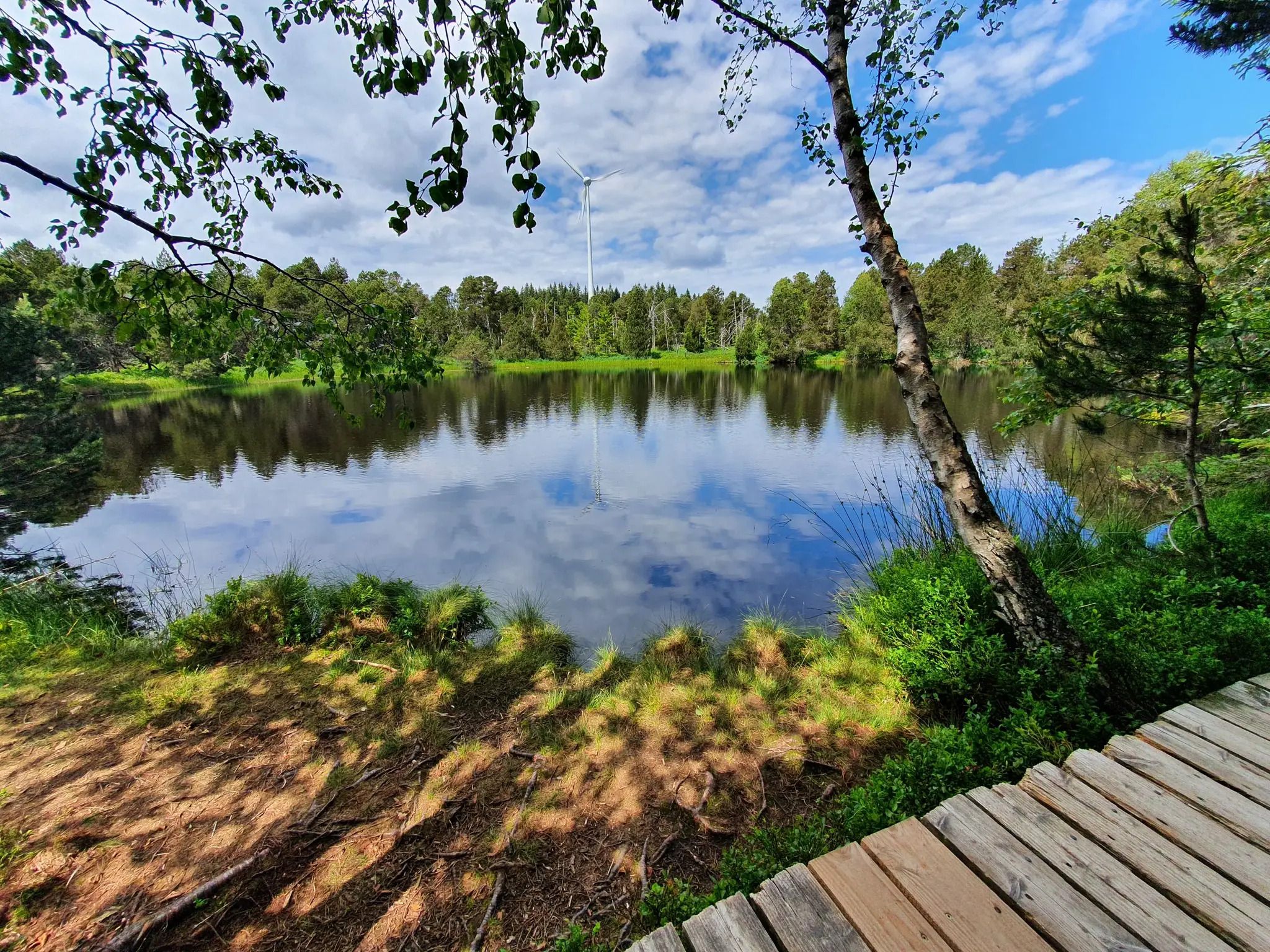
Hike the WasserWeltenSteig – Waterfalls, lakes and rivers of the Black Forest
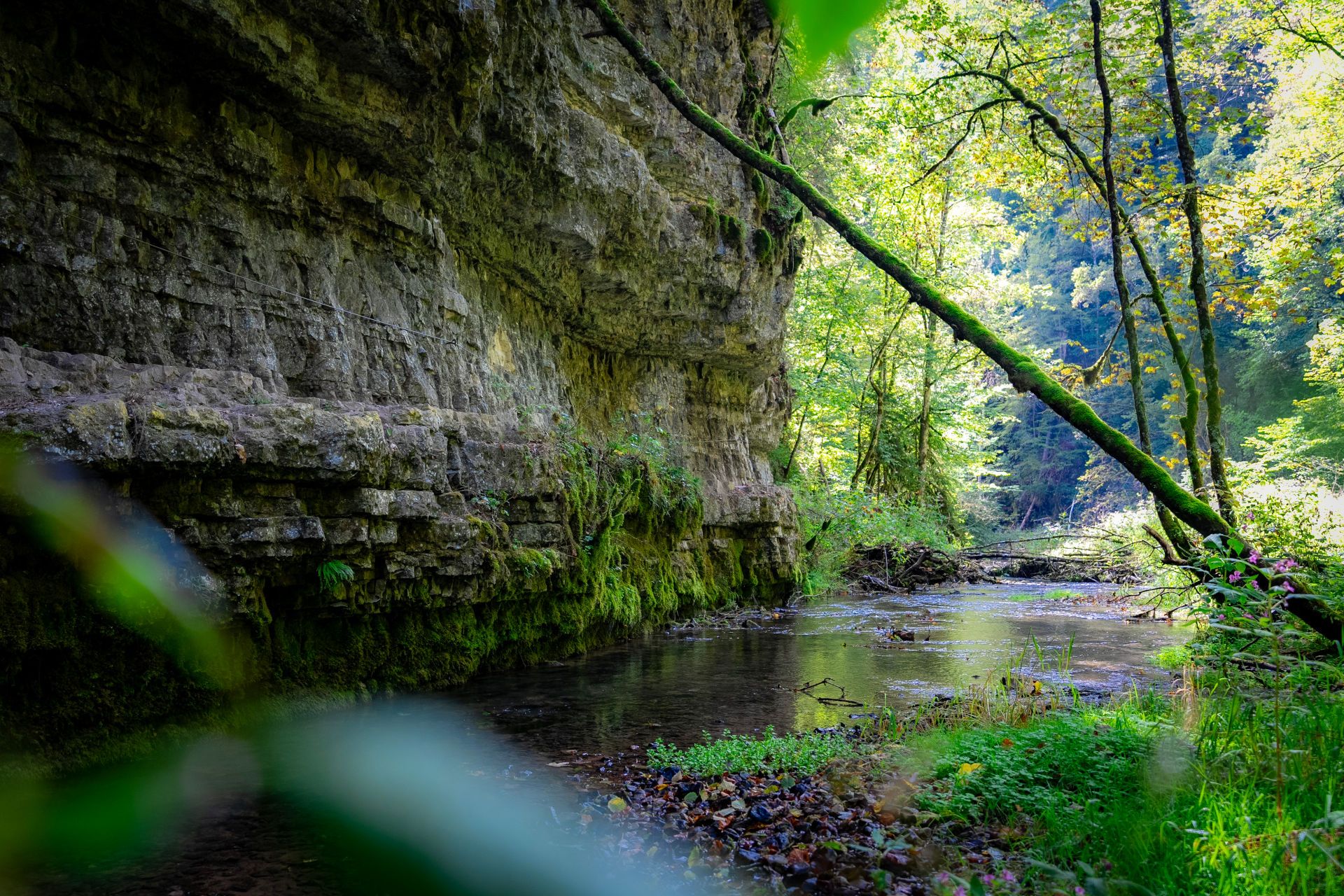
Germany’s largest canyon – hiking in the Wutach Gorge
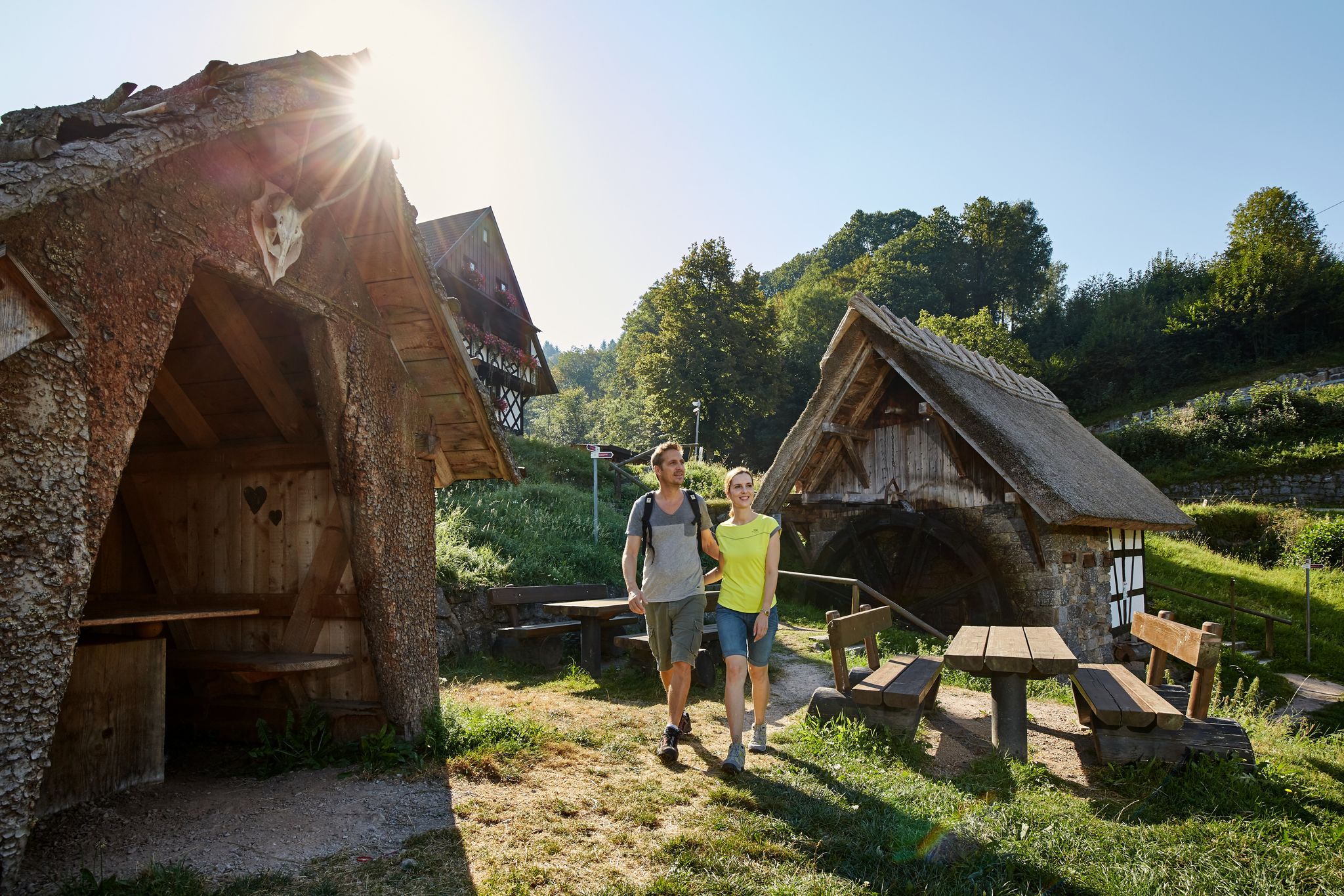
The best in the south: premium and quality hikes in Baden-Württemberg
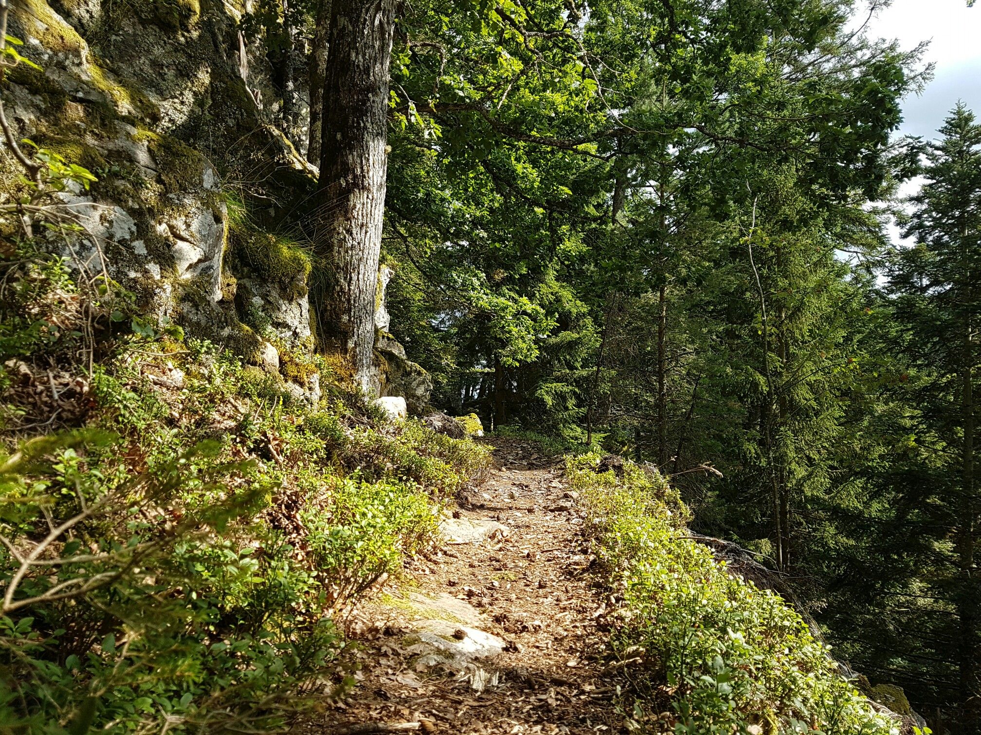
Through gorges on the Black Forest pleasure trails
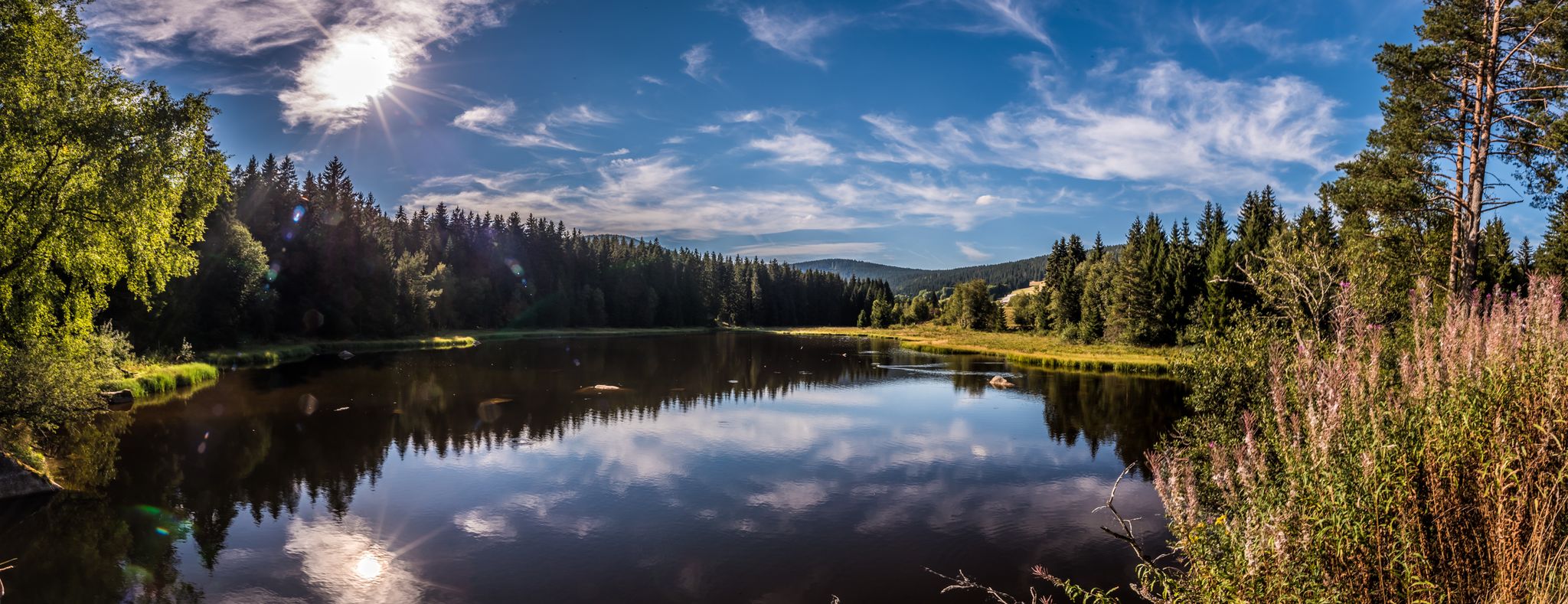
Holidays for the soul — pleasure trails in the Black Forest
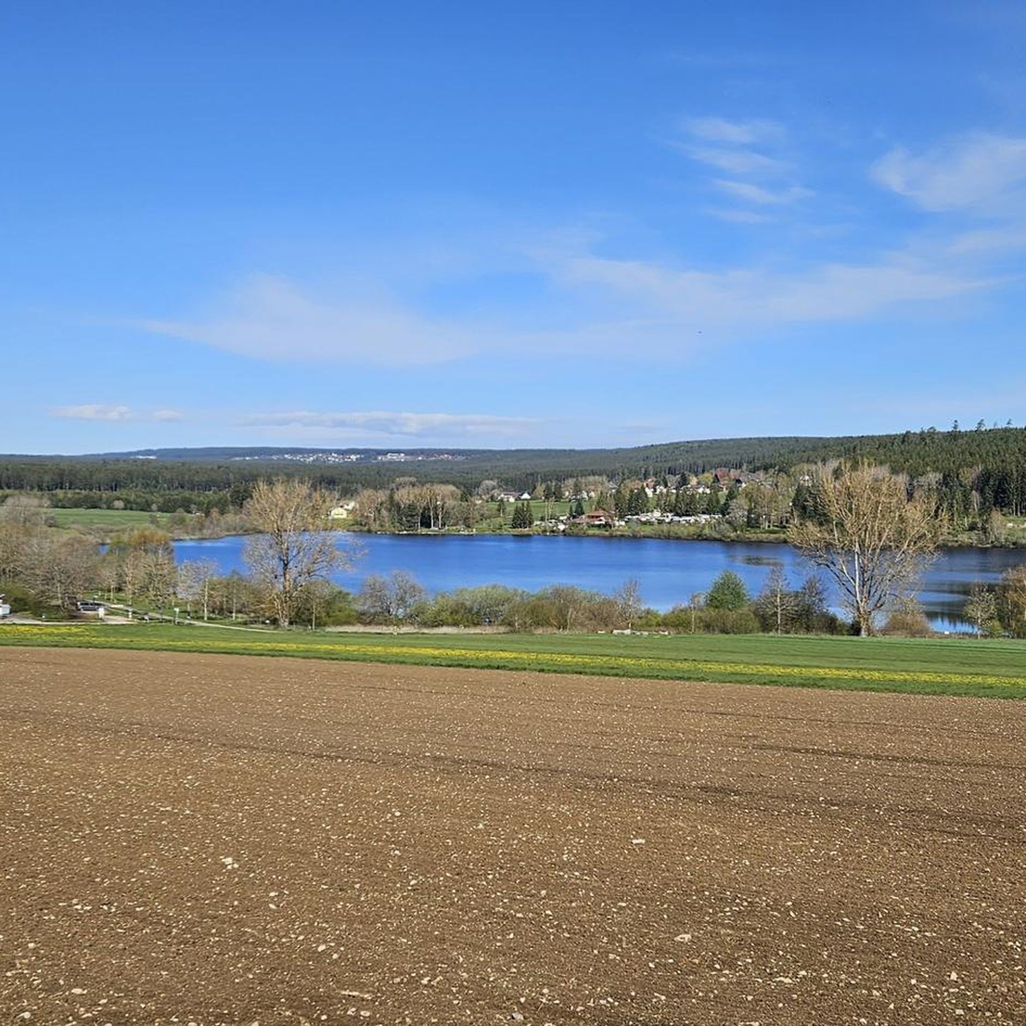
Hiking around Bräunlingen
Running Trails around Bräunlingen
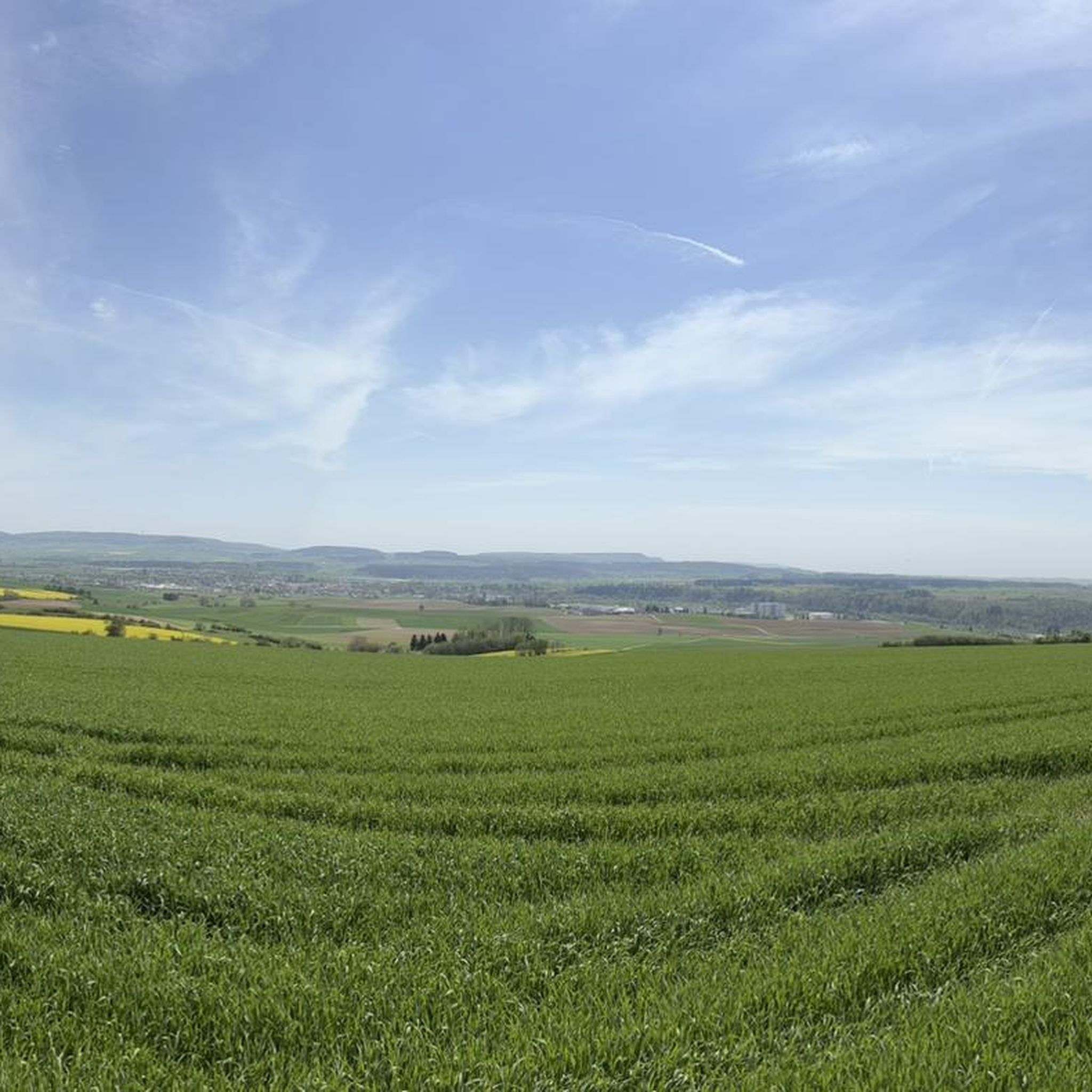
MTB Trails around Bräunlingen
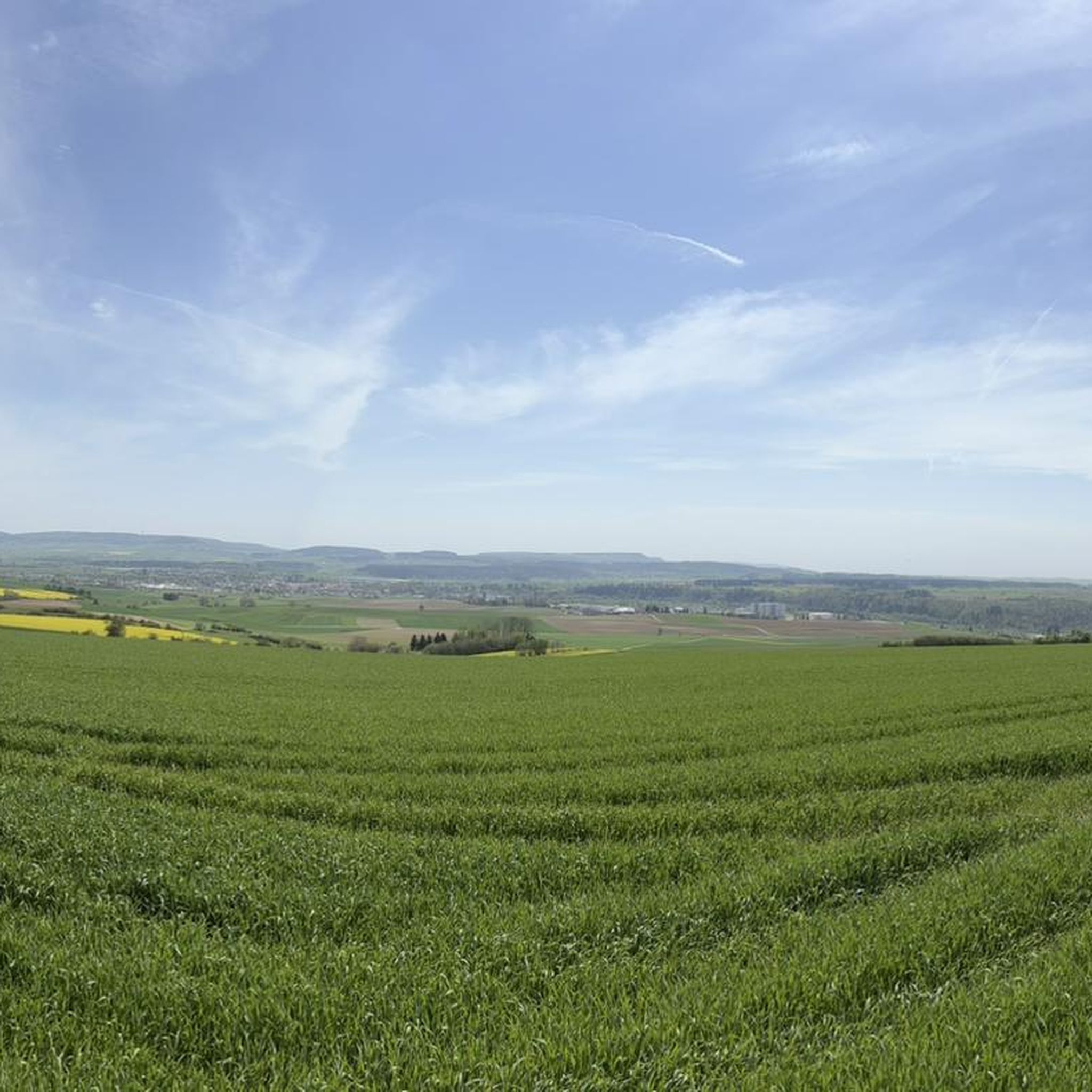
Cycling around Bräunlingen
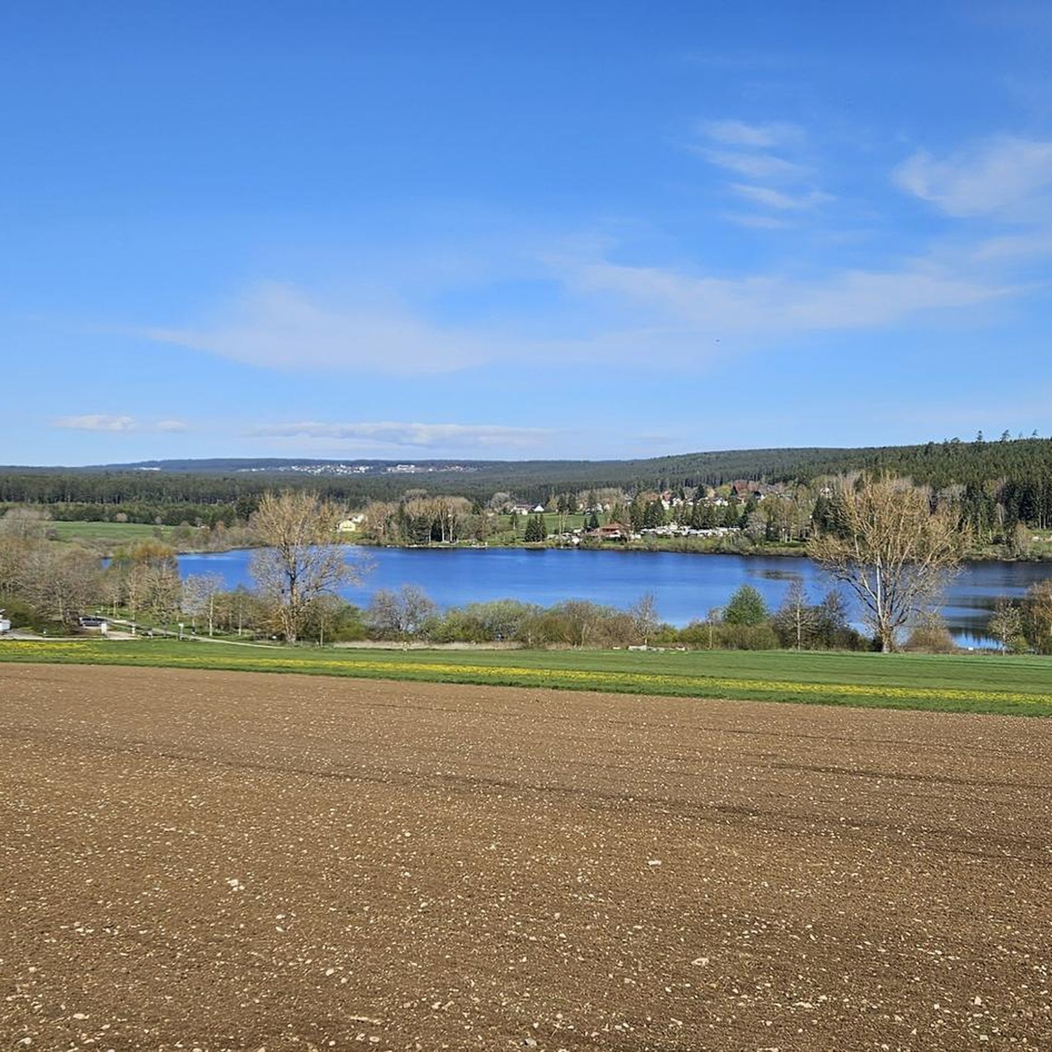
Road Cycling Routes around Bräunlingen
Other adventures around Bräunlingen


Tips from the Community

Another of Bräunlingen's well-preserved medieval town gates. The round tower and fortified arch are typical of the region's historic defenses — a satisfying landmark to ride through.
0
0

Enchanting, magnificent motifs! Beautiful. 🥰
0
0

Visible from afar and very impressive and beautiful
0
0

Nice tour, with few cars.
0
0


The Upper Gate in Villingen is the highest gate tower in the city and an important part of the historic city wall12. It was first mentioned in documents in 1336 and secured access from the north2. The tower has a green clock face and is younger than the other two still standing gates in the east (Bickentor) and west (Riettor)23. The tower not only served as a defensive tower, but also had a detention cell on the second floor, which was called a “Kefit”2. With a height of almost 34 meters, it surpasses the other gate towers by one floor Source: KI
3
0


Beautiful cycle path between the Linachtalsperre and Wolterdingen.
0
0
Frequently Asked Questions
What is the general difficulty of gravel biking trails around Bräunlingen?
The gravel biking trails around Bräunlingen offer a range of difficulties. While the region is characterized by rolling hills and forests, many routes feature significant elevation changes. You'll find a mix of moderate paths and more challenging routes with substantial climbs. Out of 107 available routes, 68 are rated as difficult, 35 as moderate, and 4 as easy.
Are there any beginner-friendly gravel bike trails in the Bräunlingen area?
Yes, while many routes are challenging, there are a few options suitable for beginners. Out of the 107 routes available, 4 are classified as easy. These typically feature less elevation gain and smoother surfaces, making them a good starting point for those new to gravel biking in the region.
What are the typical distances and durations for gravel biking routes near Bräunlingen?
Gravel biking routes in Bräunlingen vary widely in length and time. For example, a challenging route like the Katzensteigstraße – Groppertal Cycle Route loop from Bräunlingen Bahnhof covers about 86.7 km and takes nearly 5 hours. A moderate option such as the Zimmern Covered Wooden Bridge – Amtenhauser Valley loop from Donaueschingen Allmendshofen is around 43.4 km and can be completed in under 3 hours. You'll find routes ranging from shorter, easier rides to longer, more demanding tours.
Are there circular gravel bike trails available around Bräunlingen?
Yes, many gravel bike trails in the Bräunlingen area are designed as loops, offering convenient circular routes. Popular examples include the Lake Kirnberg – Kirnberg Lake loop from Hüfingen Mitte and the Lake Sunthauser – Amtenhauser Valley loop from Bräunlingen Bahnhof, allowing you to start and finish at the same point.
What kind of natural attractions can I expect to see along the gravel bike trails?
The region around Bräunlingen is rich in natural beauty. Along the trails, you can encounter picturesque lakes such as Kirnberg Lake, Pfeifferloch Pond, and the Linach Dam. You might also ride through stunning natural monuments like the Wutach Gorge and the Gauchach Gorge, where you can even find the Gauchach Waterfall.
Are there any viewpoints or scenic spots on the gravel routes?
Given the rolling hills and extensive forests of the Black Forest region, many gravel routes around Bräunlingen offer scenic viewpoints. Trails often pass through elevated sections or along lake shores, providing panoramic views of the landscape. For instance, the Lake Kirnberg loop is known for its scenic views around the lake and through woodlands.
What is the best time of year for gravel biking in Bräunlingen?
The Black Forest region, including Bräunlingen, is generally enjoyable for gravel biking from spring through autumn. Spring brings blooming landscapes, while autumn offers vibrant foliage. Summers are pleasant, though some routes might be busier. Winter can be challenging due to snow and ice, especially on higher elevation trails, but lower routes might still be accessible depending on conditions.
What do other gravel bikers enjoy most about the trails in Bräunlingen?
The gravel biking experience in Bräunlingen is highly rated by the komoot community, with an average score of 4.5 stars from over 70 reviews. Riders often praise the diverse landscape, which includes a mix of challenging climbs, scenic river valleys, and dense forests. The varied terrain, from forest paths to gravel roads, is also frequently highlighted as a positive aspect.
Are there any cafes or pubs near the gravel bike trails for a break?
While specific cafes or pubs directly on every trail are not listed, Bräunlingen and nearby towns like Hüfingen and Donaueschingen offer various options for refreshments. Many routes start or pass through these towns, making it convenient to find a place to eat or drink before, during, or after your ride. It's always a good idea to check local listings for current opening hours.
What kind of parking facilities are available for gravel bikers in Bräunlingen?
Many gravel biking routes in Bräunlingen start from central locations or train stations, such as Bräunlingen Bahnhof or Hüfingen Mitte, where public parking is typically available. For routes starting in more rural areas, look for designated trailheads or small parking lots. It's advisable to check the specific route details on komoot for recommended starting points and parking information.
Are there any hidden gem gravel trails around Bräunlingen that are less known?
While the most popular routes are well-loved, the region has over 100 gravel trails, suggesting plenty of opportunities to discover less-traveled paths. Exploring routes that venture deeper into the extensive forests or along lesser-known river sections might lead you to quieter, hidden gems. The komoot community often shares new discoveries, so checking recently uploaded tours can also reveal unique options.
Most popular routes around Bräunlingen
Most popular attractions around Bräunlingen

Get inspired with the komoot mobile app


Explore more
Browse the best Gravel rides in other regions.
