The best gravel rides around Balgheim
4.4
(33)
189
riders
43
rides
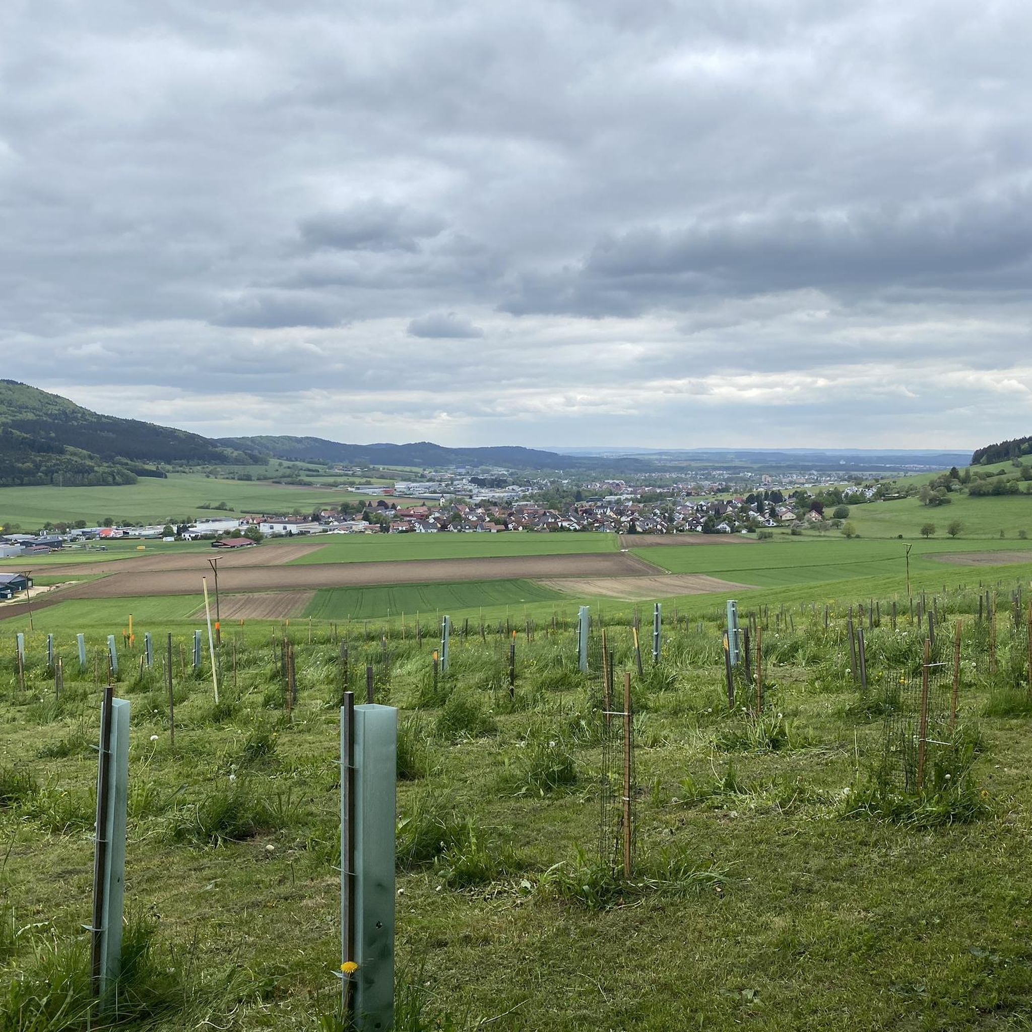
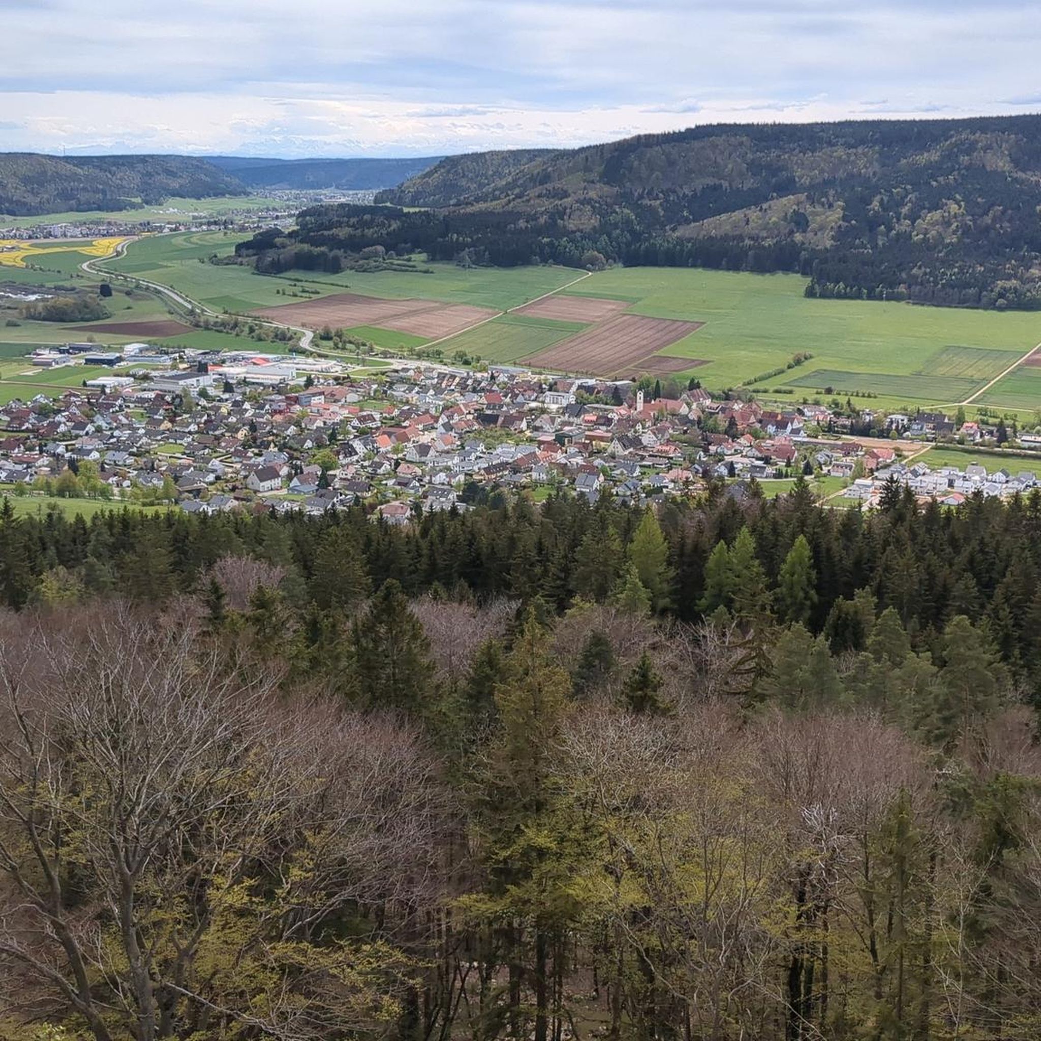
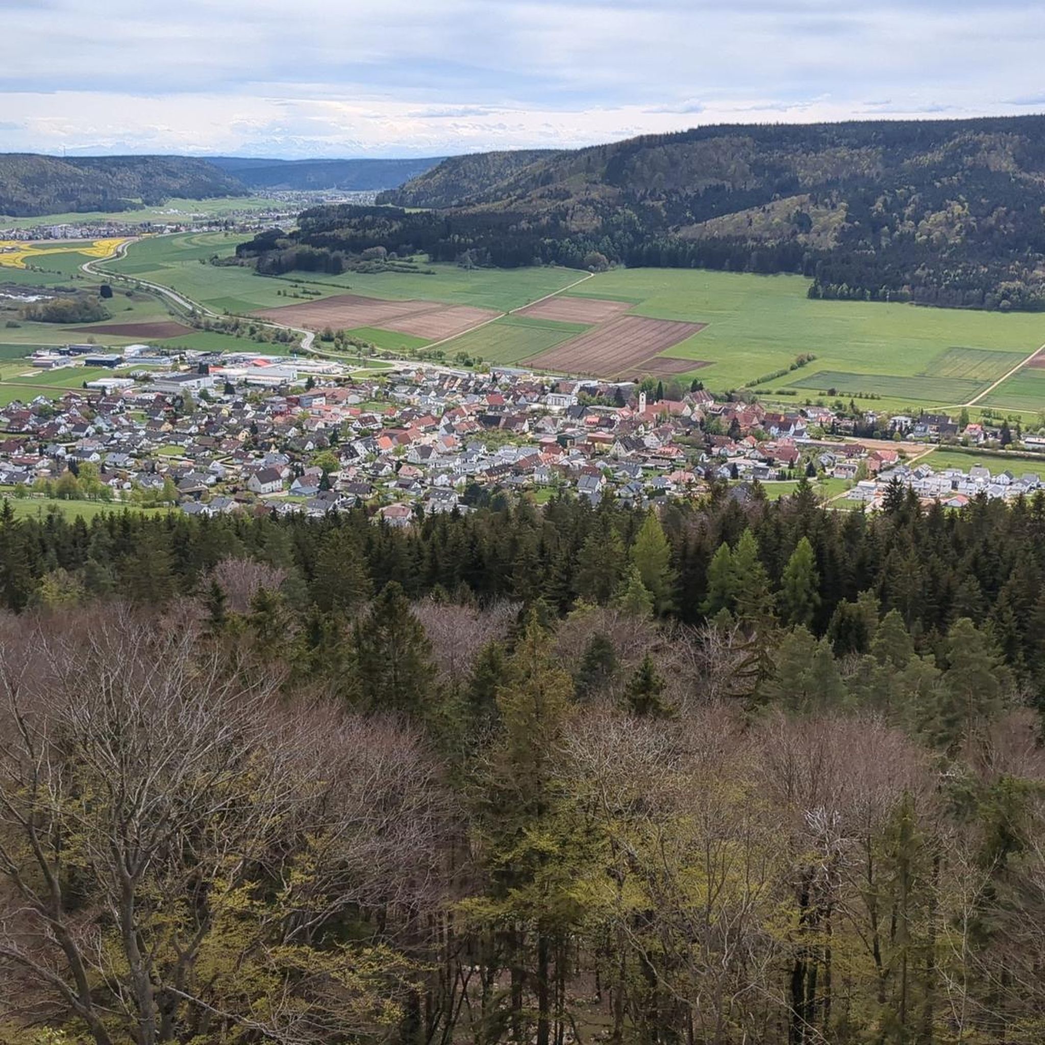
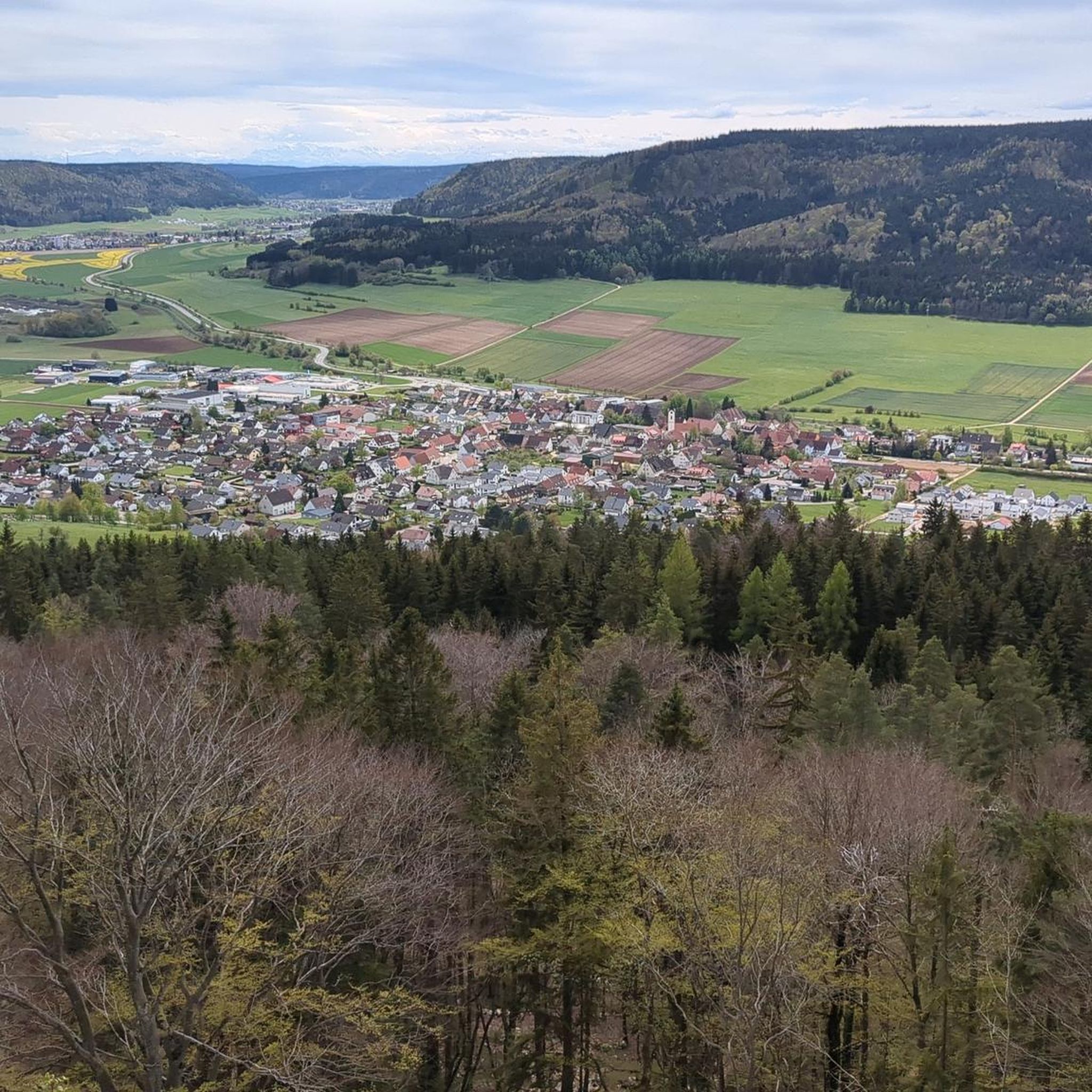
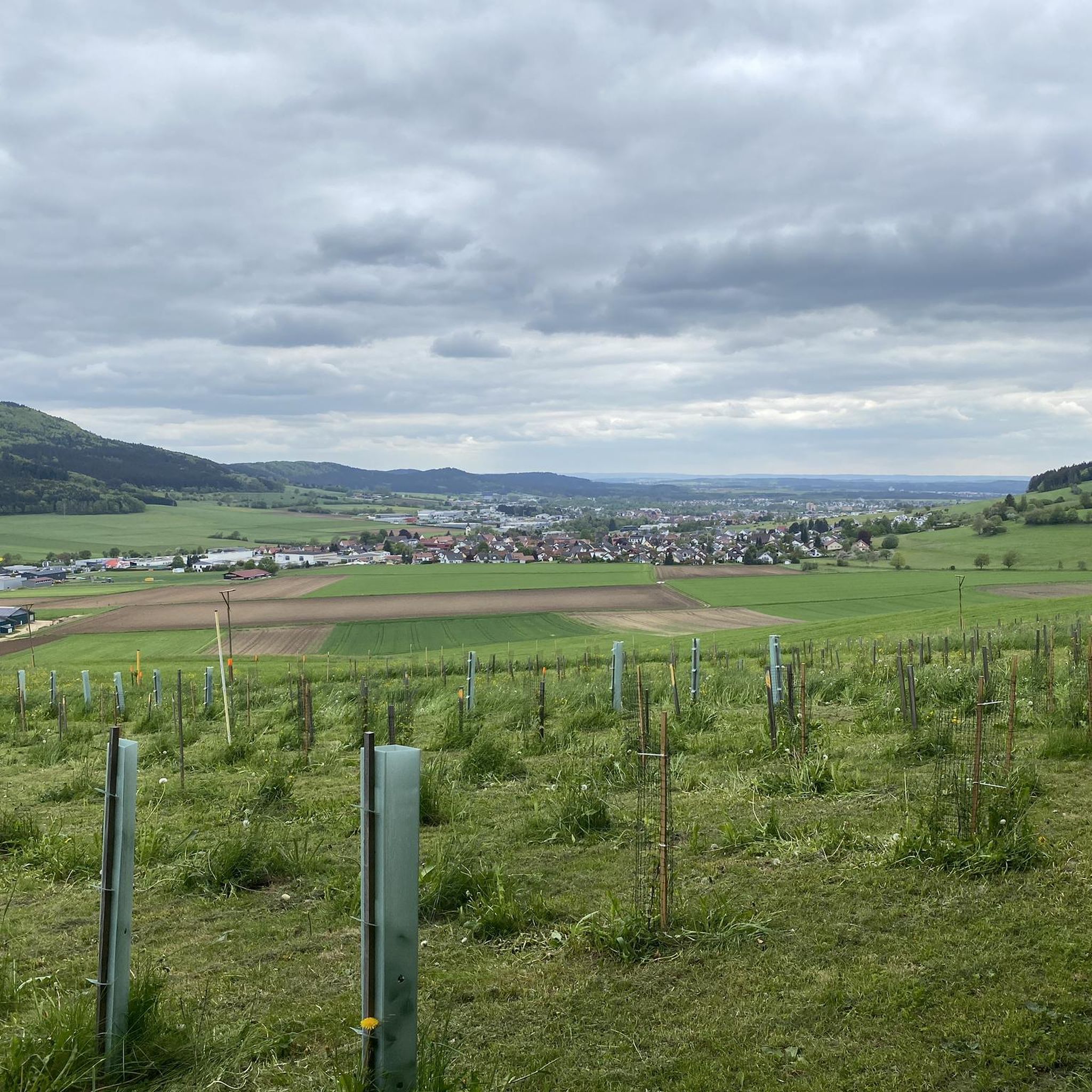
Gravel biking around Balgheim offers a diverse landscape characterized by river valleys, elevated plateaus, and varied terrain suitable for off-road cycling. The region features routes that traverse the Ursental Valley and follow sections of the Danube. Riders can expect a mix of open paths and more secluded forest sections. The area's topography includes moderate climbs and descents, with some routes reaching higher elevations like the Klippeneck Plateau.
Best gravel bike trails around Balgheim
- The most popular gravel bike trail is…
Last updated: May 21, 2026
4.5
(12)
37
riders
59.6km
03:23
630m
630m
Hard gravel ride. Very good fitness required. Mostly paved surfaces. Suitable for all skill levels.
4.7
(3)
23
riders
39.0km
02:26
430m
430m
Moderate gravel ride. Good fitness required. Mostly paved surfaces. Suitable for all skill levels.

Sign up for free
13
riders
16.5km
01:09
360m
360m
Moderate gravel ride. Good fitness required. Mostly paved surfaces. Suitable for all skill levels.
6
riders
23.2km
01:40
410m
410m
Moderate gravel ride. Good fitness required. Mostly paved surfaces. Suitable for all skill levels.
11
riders
45.8km
02:54
620m
620m
Hard gravel ride. Very good fitness required. Mostly paved surfaces. Suitable for all skill levels.
Get access to more routes and recommendations from other explorers.
Sign up for free
Already have an account?
Our route recommendations are based on thousands of hikes, rides, and runs completed by other people on komoot.
Start today with a free account
Your next adventure awaits.
Login or Signup
Tips from the Community


Danube Cycle Path. A detour into the city center is worthwhile
1
0


Take a break at the "Verschnaufbänkle" next to the self-service machine with chilled drinks and snacks 👍
0
0

Large free parking lot at the end of the driveway to Klippeneck.
1
0

Very beautiful bridge
3
0
A very nice bike path
3
0
Frequently Asked Questions
What is the general difficulty level of gravel bike trails around Balgheim?
Gravel biking around Balgheim primarily features moderate to difficult routes. There are 38 moderate trails and 45 difficult trails available, offering a challenging experience for most riders. There are no routes classified as 'easy' in this region.
Are there any circular gravel bike routes in Balgheim?
Yes, many gravel bike routes around Balgheim are designed as circular loops. Examples include the Car tunnel – Ursental Valley loop from Spaichingen and the Danube Cycle Route Tuttlingen – Ursental Valley loop from Spaichingen, allowing you to start and finish at the same point.
What kind of terrain can I expect on gravel bike trails near Balgheim?
The region offers a diverse landscape characterized by river valleys, elevated plateaus, and varied forest paths. You'll encounter a mix of open paths and more secluded sections, with moderate climbs and descents, including routes reaching higher elevations like the Klippeneck Plateau.
What are some notable landmarks or attractions I can see along the gravel bike trails?
Many routes pass by interesting natural monuments and viewpoints. You might encounter the Lemberg Tower, the Oberhohenberg Suspension Bridge, or the Oberhohenberg Observation Platform. The Rainen Summit also offers panoramic views.
How long do gravel bike trails around Balgheim typically take to complete?
The duration varies significantly by route and your pace. For instance, the Klippeneck Plateau – View from Klippeneck loop from Spaichingen can be completed in about 1 hour 9 minutes, while the longer Old Danube Bridge, Immendingen – Amtenhauser Valley loop from Spaichingen Mitte typically takes around 4 hours 40 minutes.
Is Balgheim suitable for family-friendly gravel biking?
Given that most routes are classified as moderate to difficult, Balgheim is generally more suited for experienced gravel bikers or families with older, more capable riders. There are no routes specifically designated as 'easy' or 'family-friendly' in the current selection.
What do other gravel bikers enjoy most about gravel biking in Balgheim?
The area is highly rated by the komoot community, with an average score of 4.6 stars from over 60 reviews. Reviewers often praise the diverse landscape, including river valleys and elevated plateaus, and the dynamic mix of open and secluded paths.
Are there any routes that offer views from higher elevations?
Yes, several routes ascend to higher ground. The Klippeneck Plateau – View from Klippeneck loop from Spaichingen is a great example, taking you up to the Klippeneck Plateau for expansive views.
What is the best time of year for gravel biking in Balgheim?
While gravel biking can be enjoyed year-round, the most pleasant seasons are typically spring, summer, and autumn when the weather is milder and the trails are in good condition. Winter riding may present challenges due to colder temperatures and potential snow or ice, especially at higher elevations.
Are there any gravel bike routes that follow river paths?
Absolutely. The region is characterized by river valleys, and routes like the Danube Cycle Route Tuttlingen – Ursental Valley loop from Spaichingen combine riverside riding with exploration of the Ursental Valley.
How many gravel bike trails are available around Balgheim?
There are over 80 gravel bike trails available around Balgheim, offering a wide variety of options for different skill levels and preferences.
Can I access gravel bike routes in Balgheim using public transport?
While specific public transport connections to trailheads are not detailed for every route, many routes start from towns like Spaichingen, which typically have public transport links. It's advisable to check local transport schedules for specific starting points.
Most popular attractions around Balgheim

Get inspired with the komoot mobile app


Explore more
Browse the best Gravel rides in other regions.
