The best gravel rides around Gosheim
4.2
(32)
210
riders
28
rides
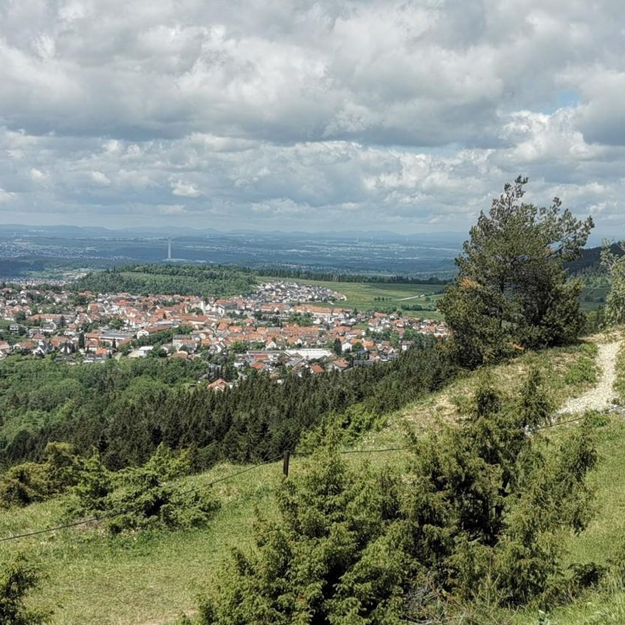
Gravel biking around Gosheim offers routes through varied terrain, characterized by rolling hills, open plateaus, and river valleys. The region features a mix of agricultural lands and forested sections, providing diverse surfaces for gravel cyclists. These routes often follow established paths and tracks, connecting local villages and scenic viewpoints. The landscape provides a range of gradients suitable for different experience levels.
Best gravel bike trails around Gosheim
- The most popular gravel bike trail is Car tunnel – Ursental Valley loop…
Last updated: October 6, 2026
4.5
(13)
54
riders
59.6km
03:22
630m
630m
Hard gravel ride. Very good fitness required. Mostly paved surfaces. Suitable for all skill levels.
4.7
(3)
29
riders
38.8km
02:25
420m
420m
Moderate gravel ride. Good fitness required. Mostly paved surfaces. Suitable for all skill levels.

5.0
(2)
10
riders
37.9km
02:32
570m
570m
Hard gravel ride. Very good fitness required. Mostly paved surfaces. Suitable for all skill levels.
5.0
(1)
21
riders
16.5km
01:09
360m
360m
Moderate gravel ride. Good fitness required. Mostly paved surfaces. Suitable for all skill levels.
6
riders
23.1km
01:39
410m
410m
Moderate gravel ride. Good fitness required. Mostly paved surfaces. Suitable for all skill levels.
Get access to more routes and recommendations from other explorers.
Already have an account?
Our route recommendations are based on thousands of hikes, rides, and runs completed by other people on komoot.
Start today with a free account
Your next adventure awaits.
Popular around Gosheim
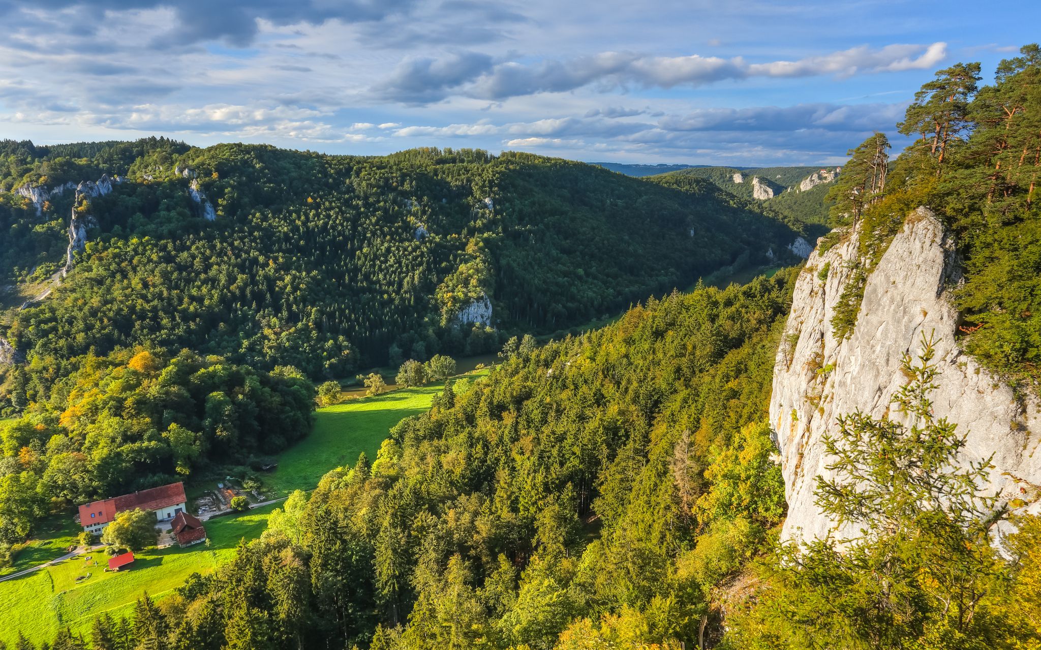
Hike the Danube Upland Trail – Exploring the Swabian Grand Canyon
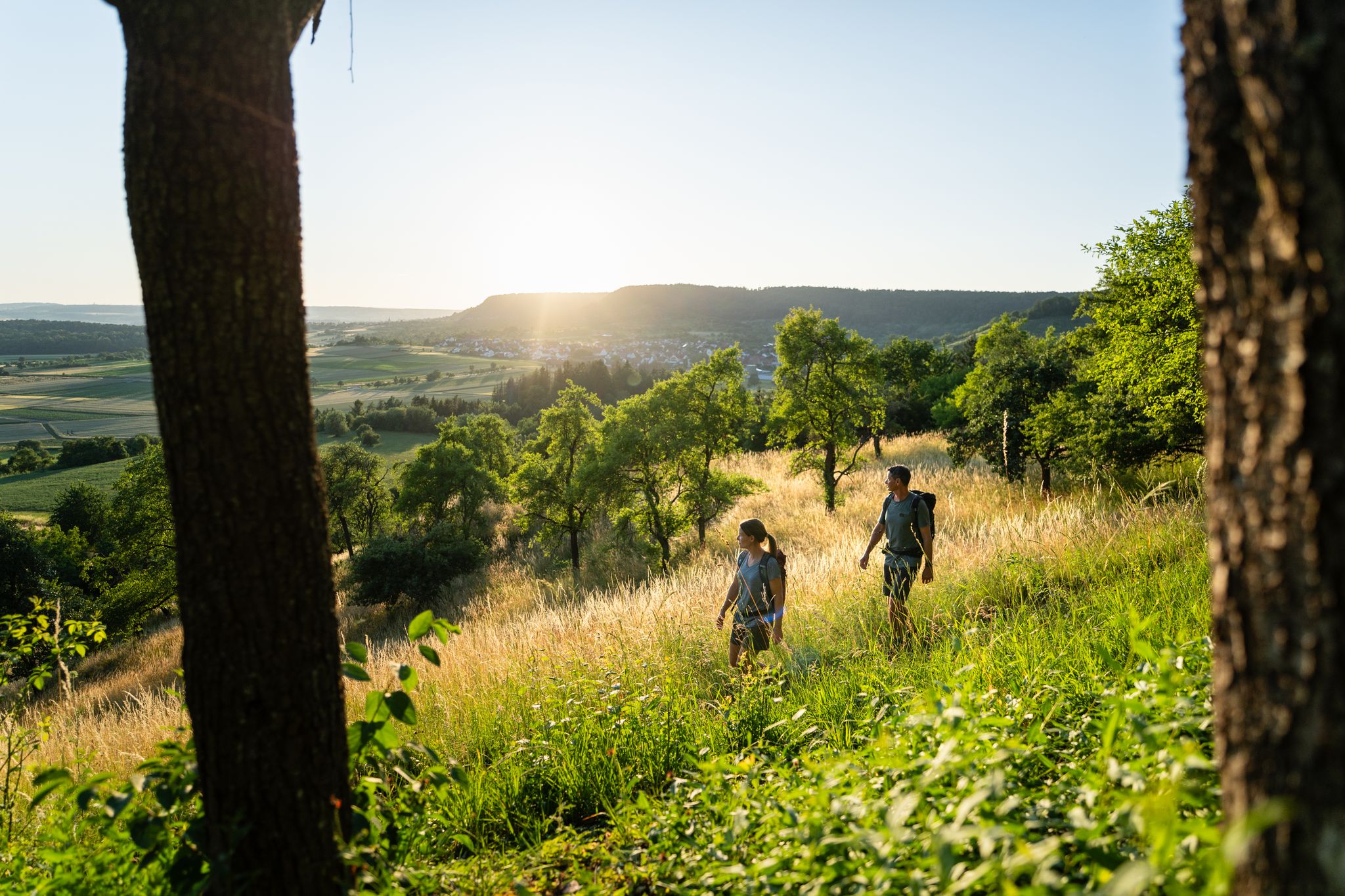
6 Long-Distance Hikes for Your Escape to the Swabian Alb

Discover premium and quality long-distance hiking in southern Germany
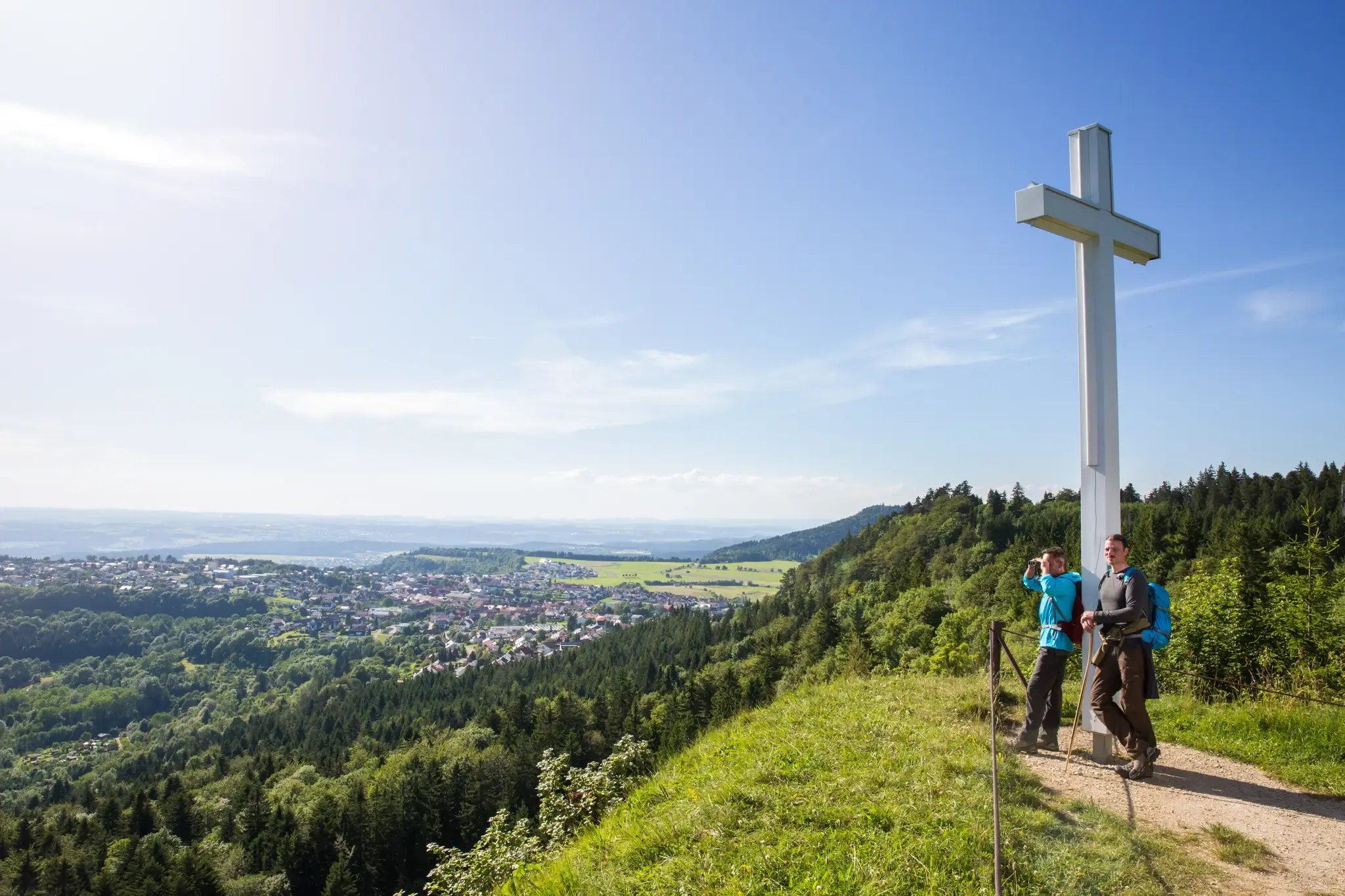
Conquering the Länd on foot – long–distance hiking in Baden–Württemberg
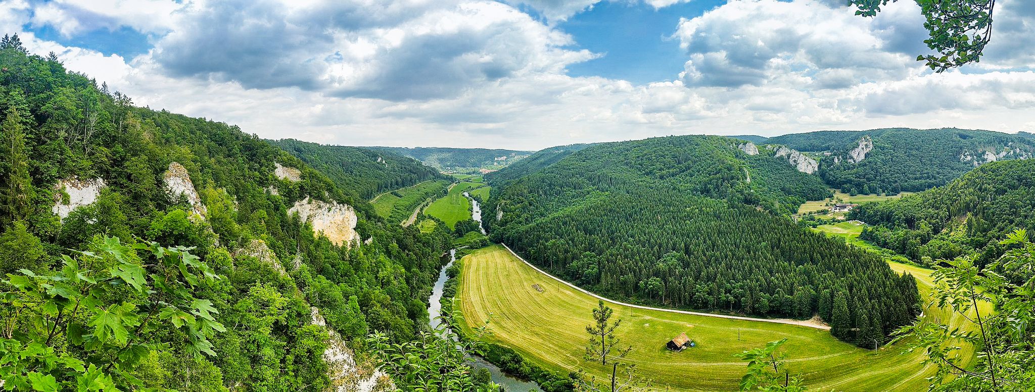
The „Donaubergland” – hikes around the Swabian Grand Canyon
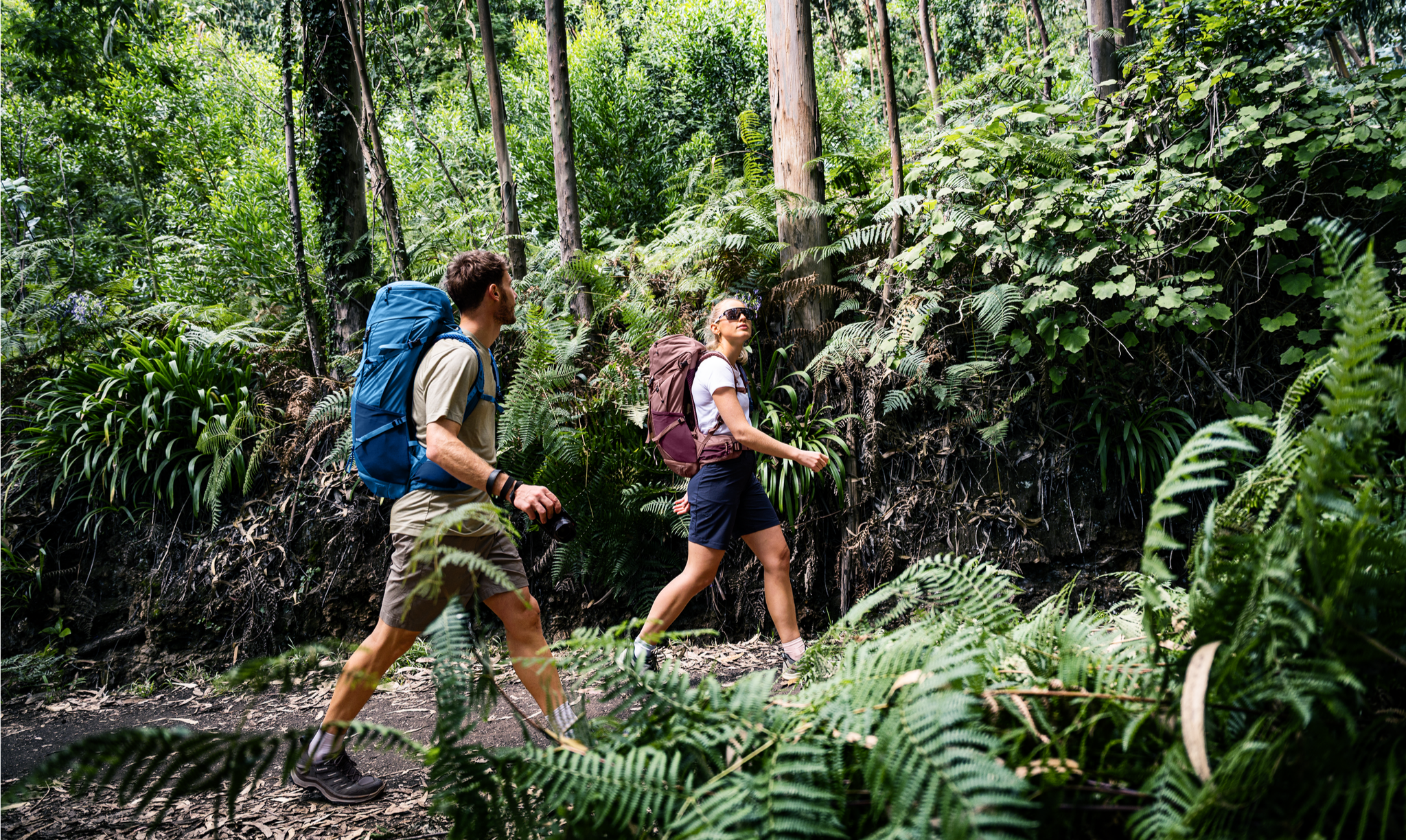
Rucksack auf und los – Weitwandern mit deuter in Deutschland
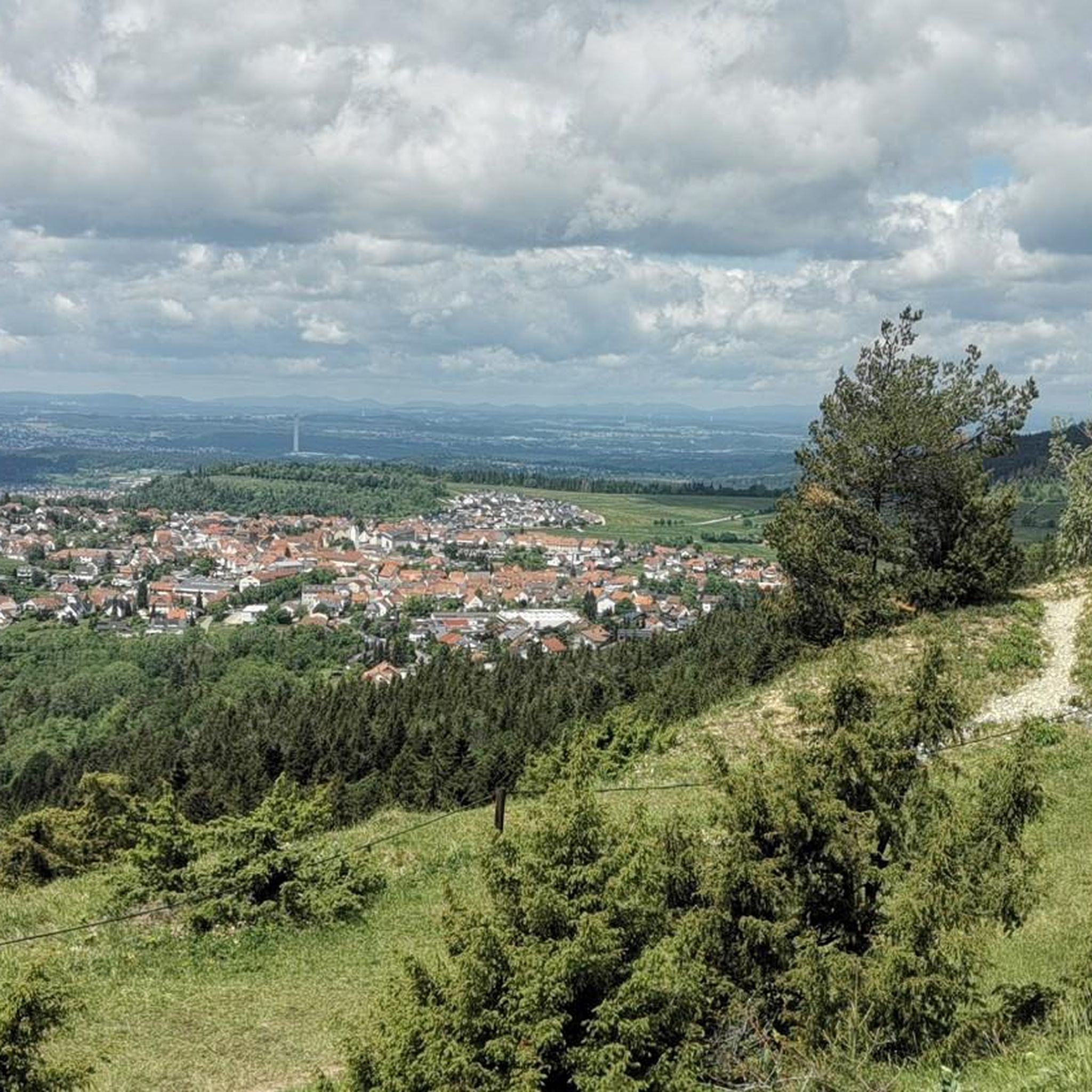
Hiking around Gosheim
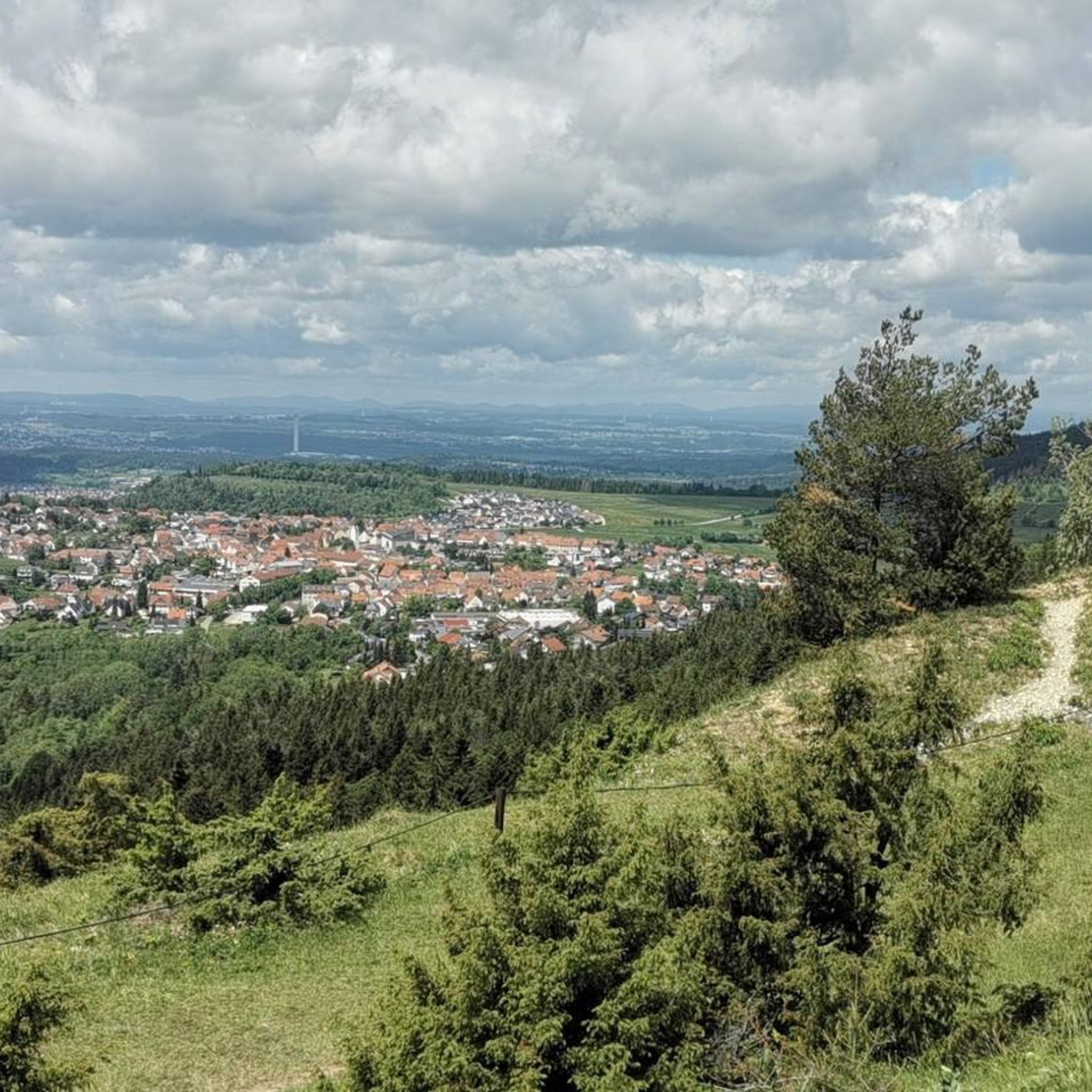
Cycling around Gosheim
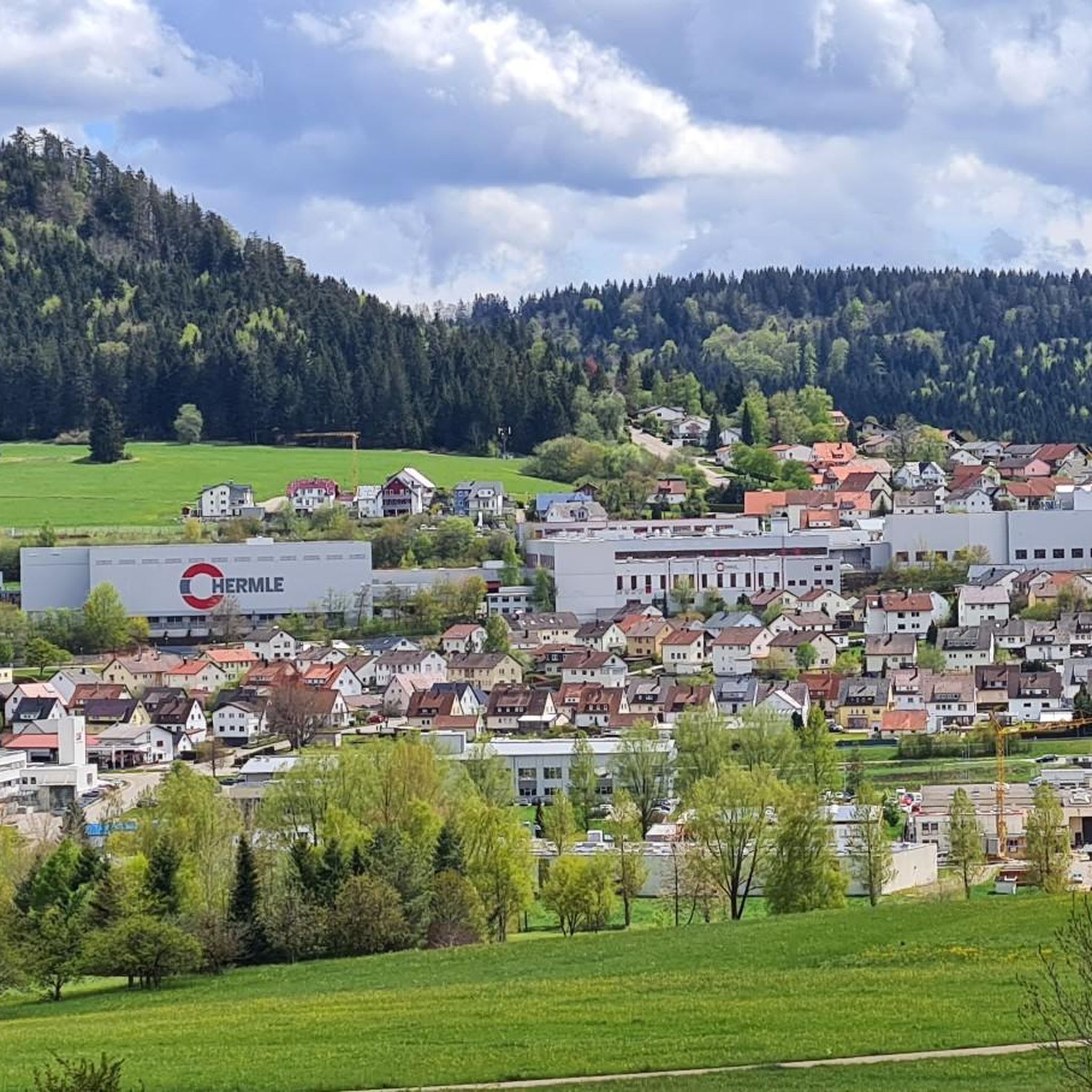
MTB Trails around Gosheim
Road Cycling Routes around Gosheim
Other adventures around Gosheim


Tips from the Community

Great view, followed by an exciting descent to Denkingen.
0
0

This a wonderful bucolic landscape and right near the bridge you cna find nice cafés, bakeries and the Golem bar, great place to appreciate the view
0
0

Great for a break! There is a bench under the linden tree where you can enjoy the vastness of the landscape. For inner contemplation, head into the small chapel.
0
0


Tuttlingen has a beautiful city center, ideal for strolling
1
0

Frequently Asked Questions
How many gravel bike trails are available around Gosheim?
There are over 60 gravel bike trails available around Gosheim, offering a wide range of options for different skill levels and preferences. The komoot community has explored these routes extensively, with over 200 gravel bikers having used komoot to discover the varied terrain.
What do other gravel bikers enjoy most about the trails in Gosheim?
The gravel biking routes in Gosheim are highly rated by the komoot community, with an average score of 4.6 stars from over 30 reviews. Riders often praise the diverse terrain, which includes rolling hills, open plateaus, and scenic river valleys, as well as the mix of agricultural lands and forested sections.
When is the best time of year for gravel biking in Gosheim?
The region's varied terrain, with its mix of open plateaus and forested sections, makes it enjoyable for gravel biking from spring through autumn. Spring offers lush greenery, while autumn provides vibrant colors. Summers are generally pleasant, though it's always wise to check local weather forecasts before heading out.
Are there easy gravel bike trails suitable for beginners in Gosheim?
While many routes in Gosheim feature moderate to difficult sections, there are options that can be adapted for beginners. For a taste of the region's beauty without extreme challenges, consider routes that stick to the flatter river valleys or shorter loops. For example, the Klippeneck Plateau – View from Klippeneck loop from Spaichingen is a moderate 16.5 km route with manageable elevation.
What about more challenging routes for experienced gravel bikers?
Experienced gravel bikers will find plenty of challenging routes around Gosheim, with 43 out of the 63 available tours classified as difficult. These routes often feature significant elevation gains and longer distances. An example is the Old Danube Bridge, Immendingen – Amtenhauser Valley loop from Spaichingen Mitte, which covers over 63 km with substantial climbing.
Are there circular gravel bike routes in Gosheim?
Yes, many of the gravel bike routes in Gosheim are designed as circular loops, allowing you to start and end at the same point. This is convenient for riders using personal vehicles. Examples include the Car tunnel – Ursental Valley loop from Spaichingen and the Danube Cycle Route Tuttlingen – Ursental Valley loop from Spaichingen.
Where can I find parking for gravel biking trails near Gosheim?
Parking is generally available in and around the towns and villages that serve as starting points for many routes, such as Spaichingen or Wehingen. Look for designated parking areas near trailheads or public car parks within these communities. Specific parking information is often detailed on individual komoot tour pages.
Can I reach the gravel bike trailheads in Gosheim using public transport?
Gosheim and surrounding towns are connected by regional public transport options, including buses and trains. While direct access to every trailhead might vary, it is often possible to reach major starting points like Spaichingen or Tuttlingen via public transport, from where you can begin your ride. Check local transport schedules for specific connections.
Are there any gravel bike trails in Gosheim with cafes or places to stop for refreshments?
Many routes in Gosheim pass through or near local villages and towns, offering opportunities to stop at cafes, bakeries, or restaurants for refreshments. The region is known for its hospitality, and you'll often find places to refuel. Planning your route with komoot allows you to identify such points of interest along the way.
What scenic viewpoints can I expect on gravel bike trails near Gosheim?
The gravel bike trails around Gosheim offer numerous scenic viewpoints, particularly from the higher plateaus. You can enjoy panoramic vistas from spots like the Oberhohenberg Observation Platform (Hohenberg Castle) or the Lemberg Tower. The Lochenstein summit cross and Rainen Summit also provide excellent views of the surrounding landscape.
Are there any interesting landmarks or attractions along the gravel bike routes?
Yes, the region around Gosheim is dotted with interesting landmarks and attractions. Beyond the natural beauty, you might encounter historical sites or unique structures. Notable attractions include the Oberhohenberg Suspension Bridge and various summit crosses. Many routes also traverse the scenic Ursental Valley, offering picturesque views.
Are the gravel bike trails around Gosheim family-friendly?
While many routes feature moderate to difficult sections, some parts of the gravel bike network, particularly those along river valleys or on well-maintained agricultural paths, can be suitable for families with older children or those comfortable with longer rides. It's advisable to check the specific route's distance, elevation, and difficulty on komoot to ensure it matches your family's capabilities.
Most popular attractions around Gosheim

Get inspired with the komoot mobile app


Explore more
Browse the best Gravel rides in other regions.
