The best gravel rides around Uhler
4.1
(11)
65
riders
20
rides
Gravel bike trails around Uhler are characterized by interconnected trail systems, including sections of former railway lines and wooded areas. The terrain features ridges, hollows, and unpaved surfaces, offering a true gravel experience. Floodplain hardwood forests contribute to the natural environment, providing diverse landscapes for gravel cycling.
Best gravel bike trails around Uhler
- The most popular gravel bike trail is The Schinderhannes Cycle Path – Horner Castle (Old Ring Wall) loop from Kastellaun, a 14.0 miles (22.5 km) trail that takes 1 hour 25 minutes to complete. This route follows a historic cycle path and passes by an old ring wall.
- Another top favourite among local gravel bikers is Hunsrück Railway Cycle Path – The Schinderhannes Cycle Path loop from Kastellaun, a moderate 18.6 miles (30.0 km) path. This route features former railway lines and scenic paths.
- Local gravel bikers also love the Trimmbach Lake – Geierlay by bike loop from Laubach, a 23.2 miles (37.3 km) trail leading through varied landscapes, often completed in about 2 hours 21 minutes.
- Gravel biking around Uhler is defined by former railway lines, wooded sections, and diverse natural areas. The network offers options for different ability levels, from easy to difficult.
- The routes in Uhler are highly rated by the komoot community with an average score of 4.3 stars from over 10 reviews. More than 50 gravel bikers have used komoot to explore Uhler's varied terrain.
Last updated: July 2, 2026
4.6
(7)
16
riders
Moderate gravel ride. Good fitness required. Mostly paved surfaces. Suitable for all skill levels.
5.0
(1)
13
riders
Moderate gravel ride. Good fitness required. Mostly paved surfaces. Suitable for all skill levels.

Sign up for free
4.0
(1)
11
riders
37.3km
02:21
420m
420m
Moderate gravel ride. Good fitness required. Mostly paved surfaces. Suitable for all skill levels.
5.0
(1)
9
riders
Moderate gravel ride. Good fitness required. Mostly paved surfaces. Suitable for all skill levels.
2.0
(1)
11
riders
Moderate gravel ride. Good fitness required. Mostly paved surfaces. Suitable for all skill levels.
Get access to more routes and recommendations from other explorers.
Sign up for free
Already have an account?
Our route recommendations are based on thousands of hikes, rides, and runs completed by other people on komoot.
Start today with a free account
Your next adventure awaits.
Login or Signup
Tips from the Community

I don't have
0
0

Nicely laid out, looks nice.
0
0
It's always a pleasure to drive.
0
0

We started in Cochem. Right from the start, the road climbed steeply. Then it descended back into the valley, only to then climb the next mountain again. A real challenge for us flatlanders from the Rhineland. The finish line involved a walk across the Geierlay suspension bridge. Not recommended for those with a fear of heights. We looked for the way back off the road and found it in the forest. The last stretch then led us past the Moselle River again.
4
0

Beautiful cycle path highly recommended
0
0
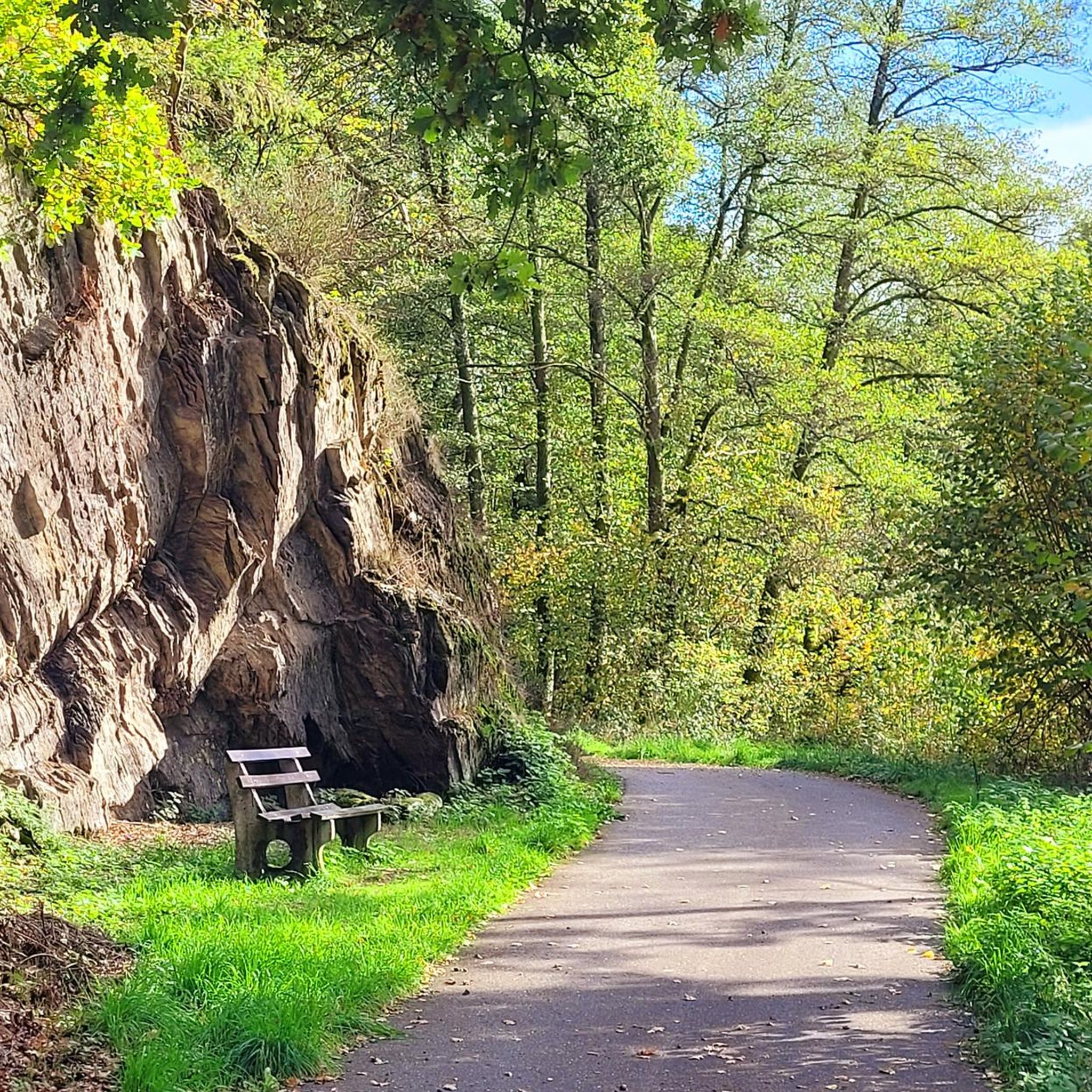
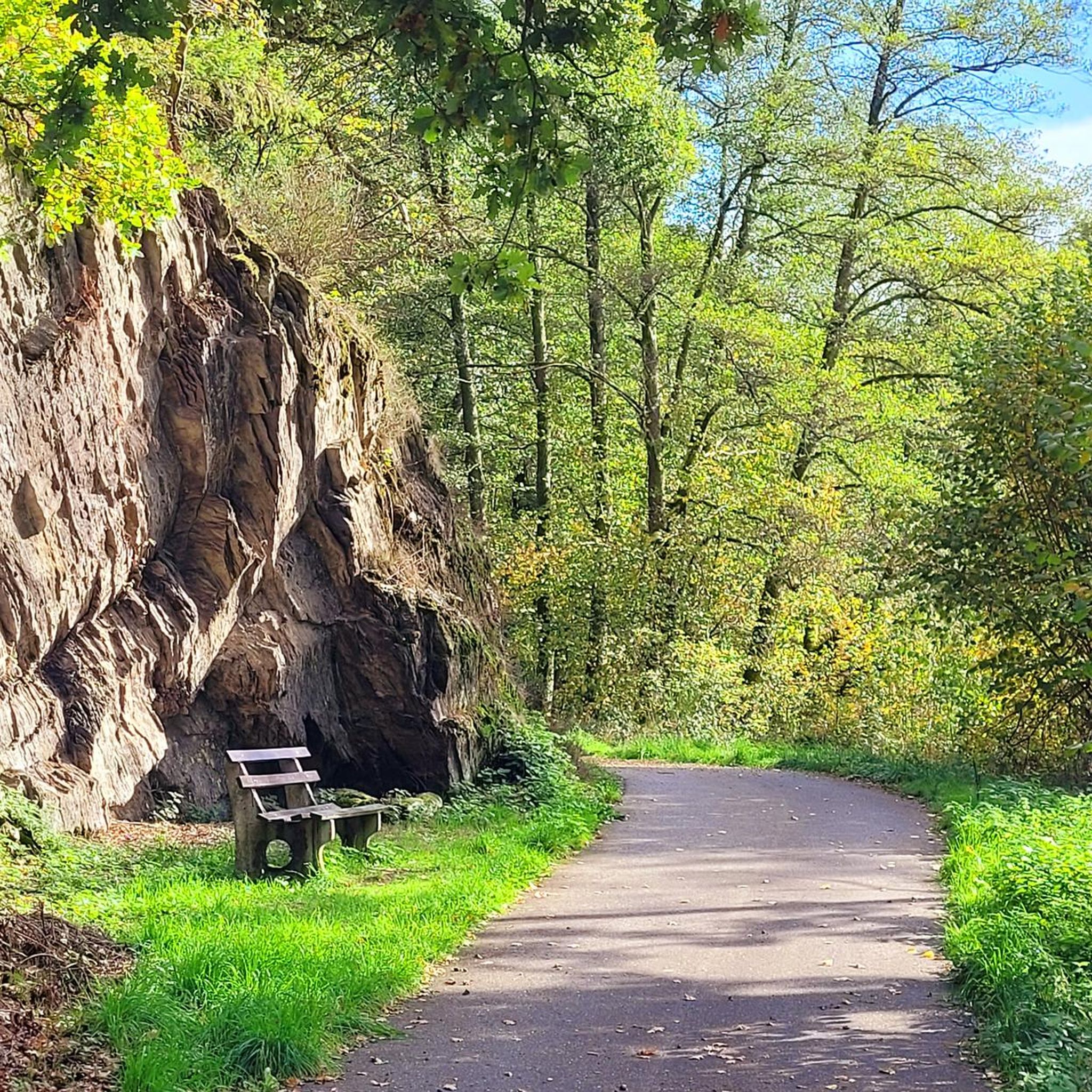
Very nice bench to take a break
0
0

Located directly behind the former Beller train station & direct connection to Schinderhannes Rw.
0
0
Beautiful cycle path above Kastellaun
0
0
Frequently Asked Questions
How many gravel bike trails are available in Uhler?
Uhler offers a diverse selection of over 25 gravel bike trails, catering to various skill levels. You'll find a mix of easy, moderate, and challenging routes to explore the region's natural beauty.
What kind of terrain can I expect on gravel bike trails in Uhler?
The gravel bike trails in Uhler feature a varied terrain, including interconnected trail systems like sections of the Washington, Baltimore & Annapolis Trail and its Horsepen Branch Spur Trail. You'll encounter unpaved clay surfaces, ridges, hollows, and wooded areas, particularly within the floodplain hardwood forests, offering a true gravel experience.
Are there any family-friendly gravel biking options in Uhler?
Yes, Uhler has options suitable for families. While many routes are moderate, there is at least one easy gravel bike trail available. The interconnected trail systems and tranquil ambiance of areas like the Fran Uhler Natural Area can provide a pleasant experience for families, though some sections may be unpaved.
Can I bring my dog on the gravel bike trails in Uhler?
Generally, natural areas like those in Uhler are dog-friendly, but it's always best to keep your dog on a leash, especially given the opportunities for wildlife observation. The tranquil ambiance and varied terrain make it a great place to enjoy with your canine companion.
Are there any circular gravel bike routes in Uhler?
Yes, many of the gravel routes in Uhler are designed as loops, allowing you to start and end at the same point. For example, you can try The Schinderhannes Cycle Path – Horner Castle (Old Ring Wall) loop from Kastellaun, or the longer Schinderhans Cycle Path Tunnel – Schmiedel Tunnel (Simmern) loop from Kastellaun.
What are some scenic highlights or natural features to look out for while gravel biking in Uhler?
Uhler is rich in natural beauty. You can expect to see floodplain hardwood forests, small ponds, and diverse landscapes. The area is excellent for wildlife observation, especially birdwatching, with over 165 species reported. The Horsepen Branch Spur Trail runs along an extensive wetland, offering views of waterfowl, swallows, and flycatchers, and approaches the Patuxent River.
Are there any waterfalls accessible from the gravel bike trails in Uhler?
Yes, the region around Uhler features several beautiful waterfalls. You might consider visiting the Baybachklamm Waterfall or the Baybach Waterfall. Other notable waterfalls include the Frankweiler Bach Waterfall and those in the Dünnbachtal area.
What is the best time of year to go gravel biking in Uhler?
Spring is particularly recommended for gravel biking in Uhler, especially if you're interested in birdwatching, as it's a prime time for migration. The tranquil ambiance of the natural areas can be enjoyed throughout the warmer months, offering a peaceful escape.
What are the difficulty levels of gravel bike trails in Uhler?
The gravel bike trails in Uhler offer a range of difficulty levels. While there is at least one easy route, the majority (over 20) are considered moderate, and a few (around 7) are more difficult. This variety ensures options for both casual riders and those seeking a challenge.
What do other gravel bikers enjoy the most about gravel biking in Uhler?
The gravel biking routes in Uhler are highly rated by the komoot community, with an average score of nearly 4 stars. Riders often praise the diverse terrain, the unique experience of cycling along former railway lines, and the tranquil, natural environment, especially the wooded sections and opportunities for wildlife viewing.
Are there any long-distance gravel routes in Uhler?
Yes, Uhler offers several longer gravel routes for those looking for extended rides. For instance, the Schinderhans Cycle Path Tunnel – Schmiedel Tunnel (Simmern) loop from Kastellaun covers over 26 miles (43 km), providing a substantial journey through varied landscapes and unique tunnel sections.
Are there any places to rest or find shelter along the trails?
Yes, the region around Uhler has several huts and shelters that can provide a place to rest. You might find spots like the Burgberg Shelter and Panoramic Bench or the Former Klingelfloß shelter. Some routes may also pass by places like Schmausemühle, which could offer refreshments.
Most popular attractions around Uhler

Get inspired with the komoot mobile app


Explore more
Browse the best Gravel rides in other regions.
