The best gravel rides around Egenhausen
4.5
(52)
195
riders
51
rides
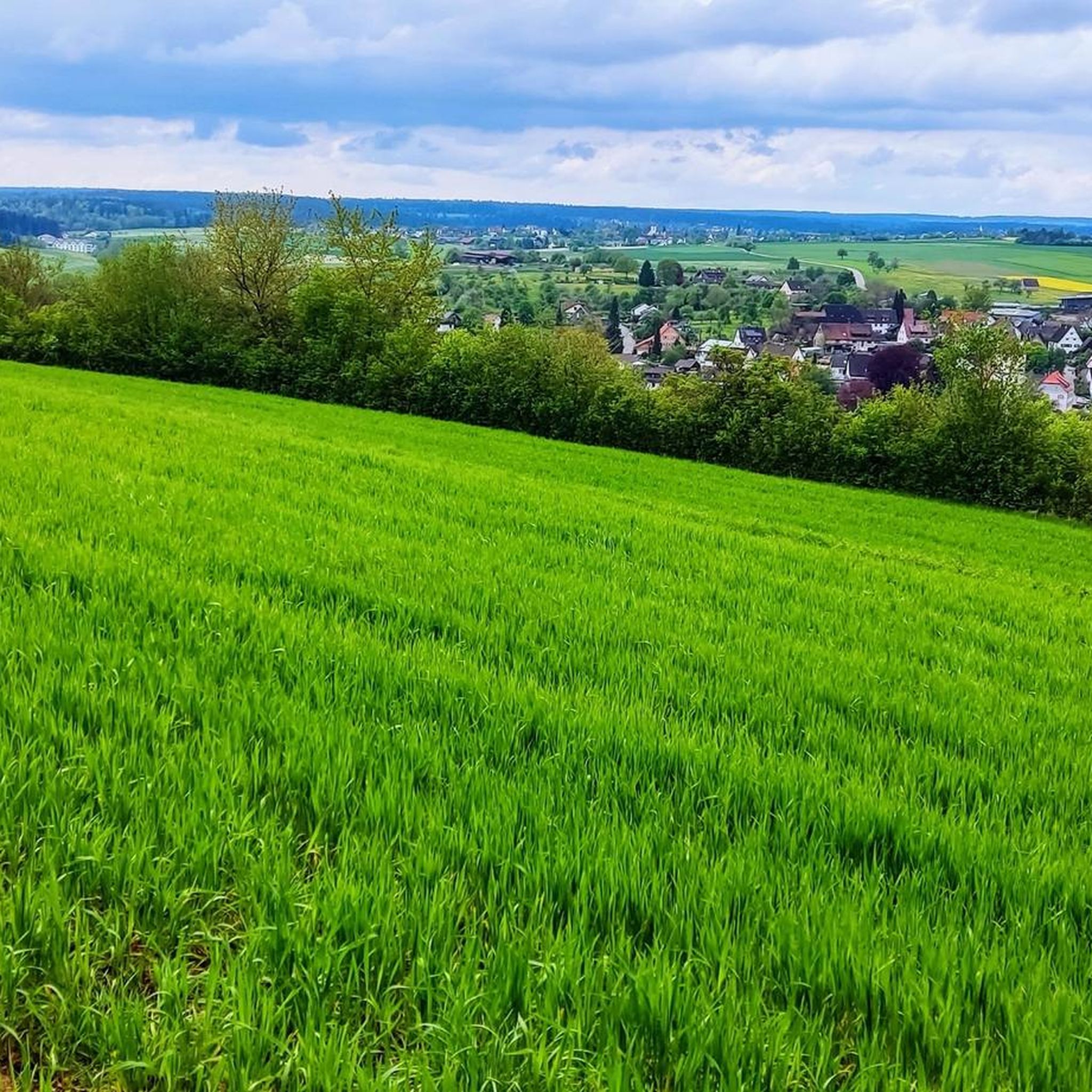
Gravel biking around Egenhausen offers diverse terrain within the Northern Black Forest, characterized by rolling hills and dense forests. The region is situated in a transitional landscape encompassing the Black Forest, Heckengäu, and Upper Gäu, with elevations ranging from 458 to 626 meters above sea level. This area provides a network of forestry and service roads, including wide forest paths and singletracks, suitable for gravel cycling. Natural features like the Egenhäuser Kapf nature reserve and the Nagoldtal valley contribute to…
Last updated: July 2, 2026
4.0
(1)
9
riders
49.0km
03:27
680m
680m
Hard gravel ride. Very good fitness required. Mostly paved surfaces. Suitable for all skill levels.
3.0
(1)
6
riders
36.2km
02:44
640m
640m
Hard gravel ride. Very good fitness required. Mostly paved surfaces. Suitable for all skill levels.

Sign up for free
4.0
(2)
5
riders
40.1km
02:32
470m
470m
Hard gravel ride. Very good fitness required. Mostly paved surfaces. Suitable for all skill levels.
4.0
(1)
6
riders
58.8km
03:34
800m
800m
Hard gravel ride. Very good fitness required. Mostly paved surfaces. Suitable for all skill levels.
2
riders
19.6km
01:16
290m
290m
Moderate gravel ride. Good fitness required. Mostly paved surfaces. Suitable for all skill levels.
Get access to more routes and recommendations from other explorers.
Sign up for free
Already have an account?
Our route recommendations are based on thousands of hikes, rides, and runs completed by other people on komoot.
Start today with a free account
Your next adventure awaits.
Login or Signup
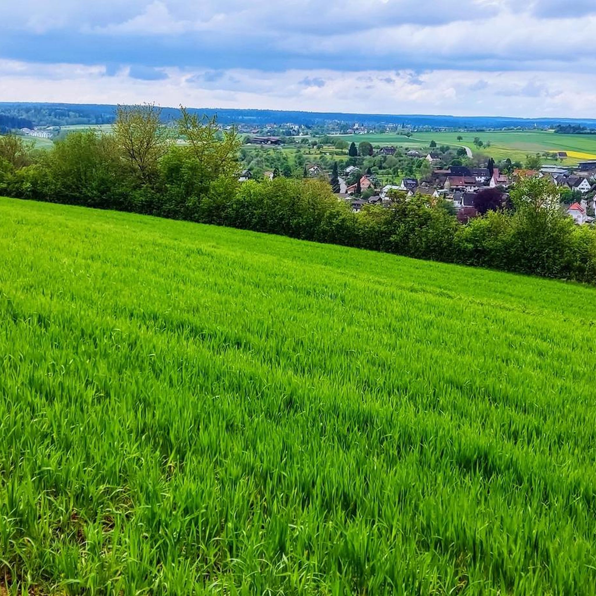
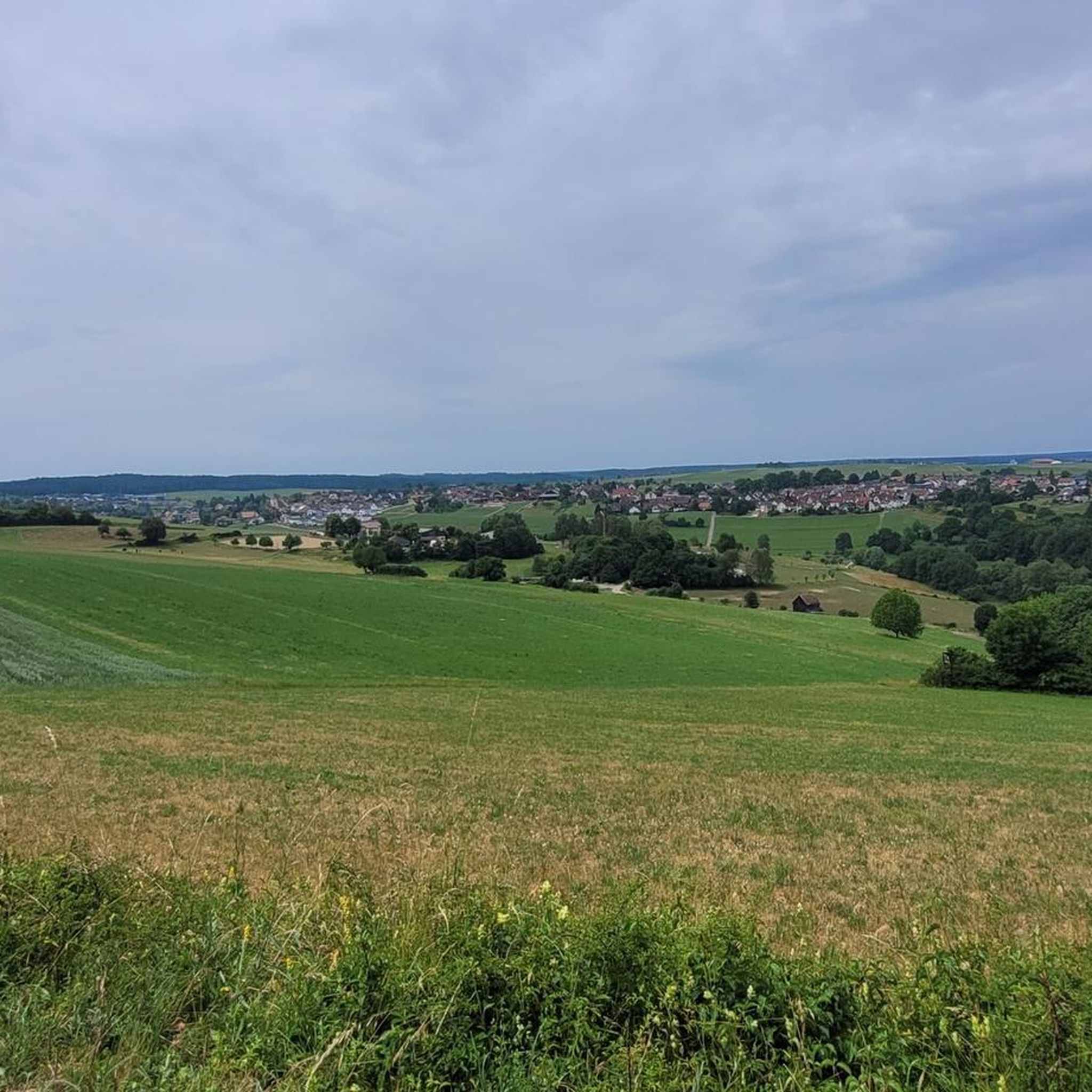
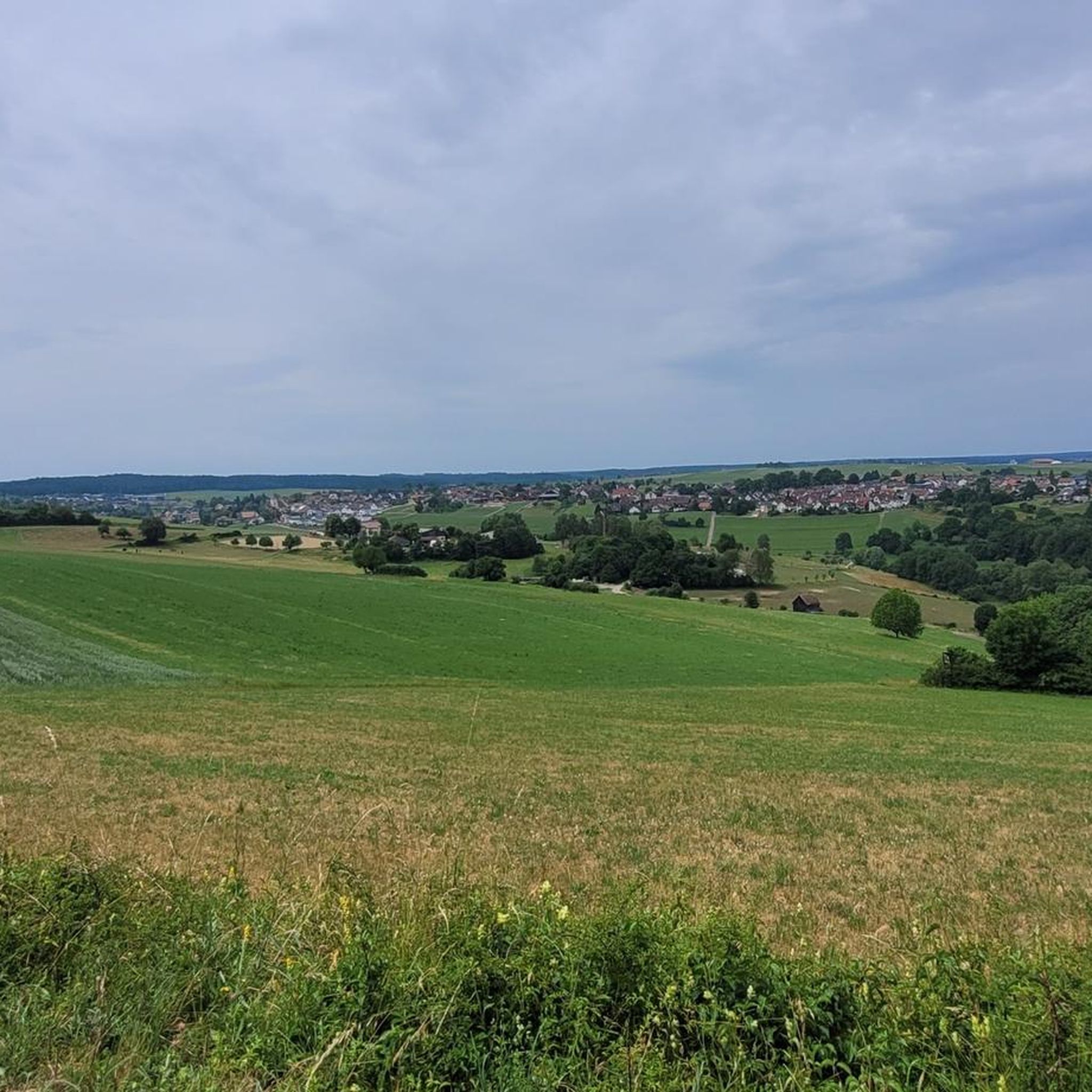
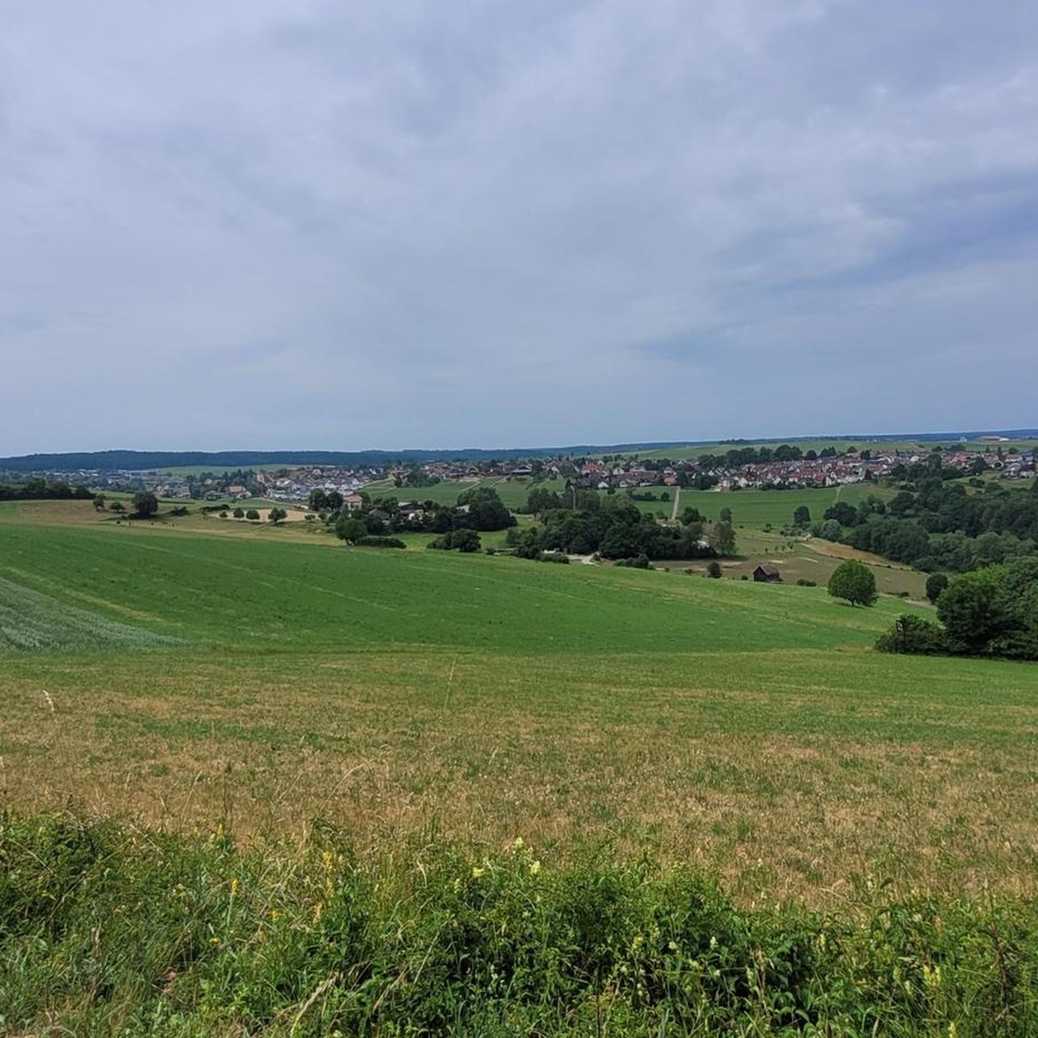
Tips from the Community

At the intersection of the Katzensteg, an old long-distance hiking trail from Grömbach to Pfalzgrafenweiler, and the Eselsweg, the Zinsbach Chapel with an inn and a retirement home stood in the Middle Ages. In the latter lived the chaplain and the "brother", probably a forest brother similar to the pilgrimage chapel on the Wildsee, also dedicated to Our Lady. Nothing is known about the origin and development of the chapel. Nothing could be found in the manorial archives, as the chapel stood on municipal property. The silverpoint drawing by Hans Baldung Grien from 1515 is therefore considered the first document of the chapel and, from an art-historical perspective, the oldest landscape drawing of the Northern Black Forest.
2
0
The Zinsbachmühle is a historic, former grain mill in the idyllic Zinsbachtal in the Northern Black Forest, whose origin at the present location dates back to 1555.
2
0

The Bösinger Wasserhäusle was a pumping station and was used to transport fresh spring water from a source in the Waldach valley via cast iron pipes to the village of Bösingen (a district of the municipality of Pfalzgrafenweiler), located 1.4 km away and 140 meters higher up. The pumps were driven by the water power of the Waldach. A water wheel with a diameter of six meters was used. The facility went into operation in 1894. In 1911, it was supplemented by an 8 hp gasoline engine, which could now also drive the pumps during low water levels in the Waldach. In 1948, it was connected to the power grid via a transformer station, after which a newly installed electric motor could serve as a backup drive. The Bösingen's own water supply was taken out of service in 1991 due to drinking water contamination. The entire facility, including the weir, the power channel, and the pumping station, has been protected as a cultural-historical monument since 2000. The pumping station can be visited all day on the Day of the Open Monument. Source: https://de.wikipedia.org/wiki/B%C3%B6singer_Wasserh%C3%A4usle
0
0
The Bösinger Wasserhäusle was a pumping station and served to transport fresh spring water from a source in the Waldach valley via cast iron pipes to the village of Bösingen (part of the municipality of Pfalzgrafenweiler), 1.4 km away and 140 meters higher. The pumps were driven by the water power of the Waldach. A water wheel with a diameter of six meters was used. The facility went into operation in 1894. In 1911, it was supplemented by an 8 hp gasoline engine, which could now also drive the pumps during low water levels in the Waldach. In 1948, it was connected to the power grid via a transformer station, from which time a newly installed electric motor could serve as a backup drive. The Bösingen's own water supply was taken out of operation in 1991 due to drinking water contamination. The entire facility with its weir, power channel, and pumping station has been protected as a cultural-historical monument since 2000. The pumping station can be visited all day on the Day of the Open Monument. Source: https://de.wikipedia.org/wiki/B%C3%B6singer_Wasserh%C3%A4usle
0
0

Weir on the Waldach, 300-meter-long drive channel, iron, backward-acting water wheel with spur gear transmission, 6 meters in diameter (originally lined with wooden paddles), 3 meters of head in the drive channel, pump output: 3-5 HP depending on water inflow from the drive channel, double-acting plunger pump from Maschinenfabrik Esslingen from the year 1893 with a high-performance suction and delivery pump and pressure vessel. In 1991, the plant was shut down as a private water supply due to contaminated spring water. Depending on the water level of the Waldach, the pumping station managed to pump 160,000 liters of fresh spring water directly into the houses and into the water reservoir in Bösingen, 2.3 km away and 140 meters higher, in 8 to 14 hours. The spring yields 1-2 liters per second depending on the season.
0
0
Weir on the Waldach, 300-meter-long tailrace canal, iron overshot water wheel with spur gear transmission, 6 meters in diameter (originally with wooden paddles), 3-meter head, pump capacity: 3-5 HP depending on water inflow from the tailrace canal, double-acting plunger pump from Maschinenfabrik Esslingen from 1893 with a powerful suction and delivery pump and pressure vessel. In 1991, the plant was shut down due to contaminated spring water as a private water supply. The pump managed to pump 160,000 liters of fresh spring water directly into the houses and into the water reservoir in Bösingen, 2.3 km away and 140 meters higher, in 8 to 14 hours, depending on the water level of the Waldach. The spring yields 1-2 liters per second depending on the season.
0
0

It's quite busy on weekends, but it's always good for a quick dip.
1
0
It's bearable here. In good weather, it's suitable for swimming.
0
0
Frequently Asked Questions
How many gravel bike trails are there around Egenhausen?
There are over 90 gravel bike trails available around Egenhausen on komoot, offering a wide range of options for different skill levels and preferences. These routes are highly rated by the komoot community, with an average score of 4.3 stars from over 50 reviews.
What kind of terrain can I expect on gravel bike trails near Egenhausen?
The terrain around Egenhausen is diverse, characterized by rolling hills and dense forests within the northern Black Forest. You'll encounter a mix of wide forest paths and singletracks, suitable for gravel cycling. Elevations range from 458 to 626 meters above sea level, providing varied challenges.
Are there any family-friendly gravel biking routes in the Egenhausen area?
While many routes in the Egenhausen area are rated moderate to difficult due to elevation changes, there are some options that might be more suitable for families or beginners. For example, the Zinsbachtal Valley – Zinsbachtal Valley loop from Grömbach is a moderate route that offers a less strenuous experience.
What are some scenic highlights or attractions I can see while gravel biking near Egenhausen?
The region offers several natural and historical points of interest. You can explore the romantic Bömbach valley, or visit the Zinsbachmühle. The Bömbach Valley itself is a beautiful gorge to discover. The Hohennagold Castle Ruins also offer expansive views over the Nagoldtal valley.
Are there any circular gravel bike routes starting from Egenhausen?
Yes, many of the gravel bike routes around Egenhausen are designed as loops. For instance, the popular Nagoldtalsperre Erzgrube – Nagold Dam loop from Egenhausen is a challenging circular route exploring the area around the Nagold Dam. Another option is the Bösingen Water House – Waldach Cycle Path loop from Haiterbach.
What is the best time of year for gravel biking in Egenhausen?
The Black Forest region is generally excellent for gravel biking from spring through autumn. The dense forests provide shade in warmer months, and the varied terrain is enjoyable when dry. Winter cycling is possible, but trail conditions can be challenging due to snow or ice, especially on higher elevations and singletracks.
Where can I find parking for gravel biking in Egenhausen?
Egenhausen and surrounding towns typically offer public parking facilities. For specific routes, it's often best to check the starting point of your chosen tour on komoot, as many routes provide information on nearby parking options. Look for designated parking areas in villages or at trailheads.
Are there options for public transport to access gravel bike trails in Egenhausen?
Public transport options in the Black Forest region can vary. While Egenhausen itself is a smaller community, larger nearby towns like Nagold or Altensteig may have better connections. It's advisable to check local bus or train schedules, and their policies regarding bicycle transport, if you plan to use public transport to reach trailheads.
Are there any cafes or places to eat along the gravel bike routes?
While specific cafes directly on every trail might be limited, the villages and towns surrounding Egenhausen, such as Altensteig or Nagold, offer various cafes, pubs, and restaurants where you can refuel. Some routes might pass by or near these establishments, so planning your stops in advance is recommended.
What are the difficulty levels of gravel bike trails around Egenhausen?
The gravel bike trails around Egenhausen range from moderate to difficult. Out of the 94 available routes, 31 are classified as moderate and 62 as difficult. This indicates that many routes involve significant elevation changes and require a good level of fitness and experience. For example, the Calw Market Square – Nagold Valley Cycle Path loop from Köllbachtal mit Seitentälern is a difficult 64 km path.
Are there any specific rules or regulations for gravel biking in the Black Forest region, like the 2-meter rule?
The Black Forest region, like many parts of Germany, has regulations regarding cycling on forest paths. The '2-meter rule' generally states that cycling is permitted on paths wider than two meters. It's always good practice to respect local signage, be mindful of hikers, and stay on designated trails to protect the natural environment.
What do other gravel bikers enjoy the most about gravel biking in Egenhausen?
The komoot community highly rates the gravel biking experience in Egenhausen, with an average score of 4.3 stars. Reviewers often praise the diverse terrain, the beauty of the dense forests, and the well-maintained network of forestry and service roads. The varied landscape, including rolling hills and scenic valleys, is frequently highlighted as a major draw.
Most popular routes around Egenhausen
Most popular attractions around Egenhausen

Get inspired with the komoot mobile app


Explore more
Browse the best Gravel rides in other regions.
