The best gravel rides around Suthfeld
4.5
(72)
496
riders
77
rides
Gravel biking around Suthfeld offers a diverse landscape for off-road exploration. The region is characterized by rolling hills, forested areas, and open views across the Calenberger Land. Routes often incorporate passes and lead to scenic points, providing varied terrain for gravel cyclists. The elevation changes, with some trails featuring significant climbs, contribute to a challenging yet rewarding experience.
Best gravel bike trails around Suthfeld
- The most popular gravel bike trail is Nienstedter Pass – View of the Calenberger Land loop…
Last updated: May 21, 2026
5.0
(1)
15
riders
51.4km
03:34
1,100m
1,100m
Hard gravel ride. Very good fitness required. Mostly paved surfaces. Suitable for all skill levels.
5.0
(2)
21
riders
58.1km
03:45
970m
970m
Hard gravel ride. Very good fitness required. Mostly paved surfaces. Suitable for all skill levels.

Sign up for free
4.0
(4)
8
riders
Hard gravel ride. Very good fitness required. Mostly paved surfaces. Suitable for all skill levels.
4.0
(1)
7
riders
21.0km
01:23
390m
390m
Moderate gravel ride. Good fitness required. Mostly paved surfaces. Suitable for all skill levels.
5.0
(3)
7
riders
27.6km
01:57
520m
520m
Hard gravel ride. Very good fitness required. You may need to push your bike for some segments of this route.
Get access to more routes and recommendations from other explorers.
Sign up for free
Already have an account?
Our route recommendations are based on thousands of hikes, rides, and runs completed by other people on komoot.
Start today with a free account
Your next adventure awaits.
Login or Signup
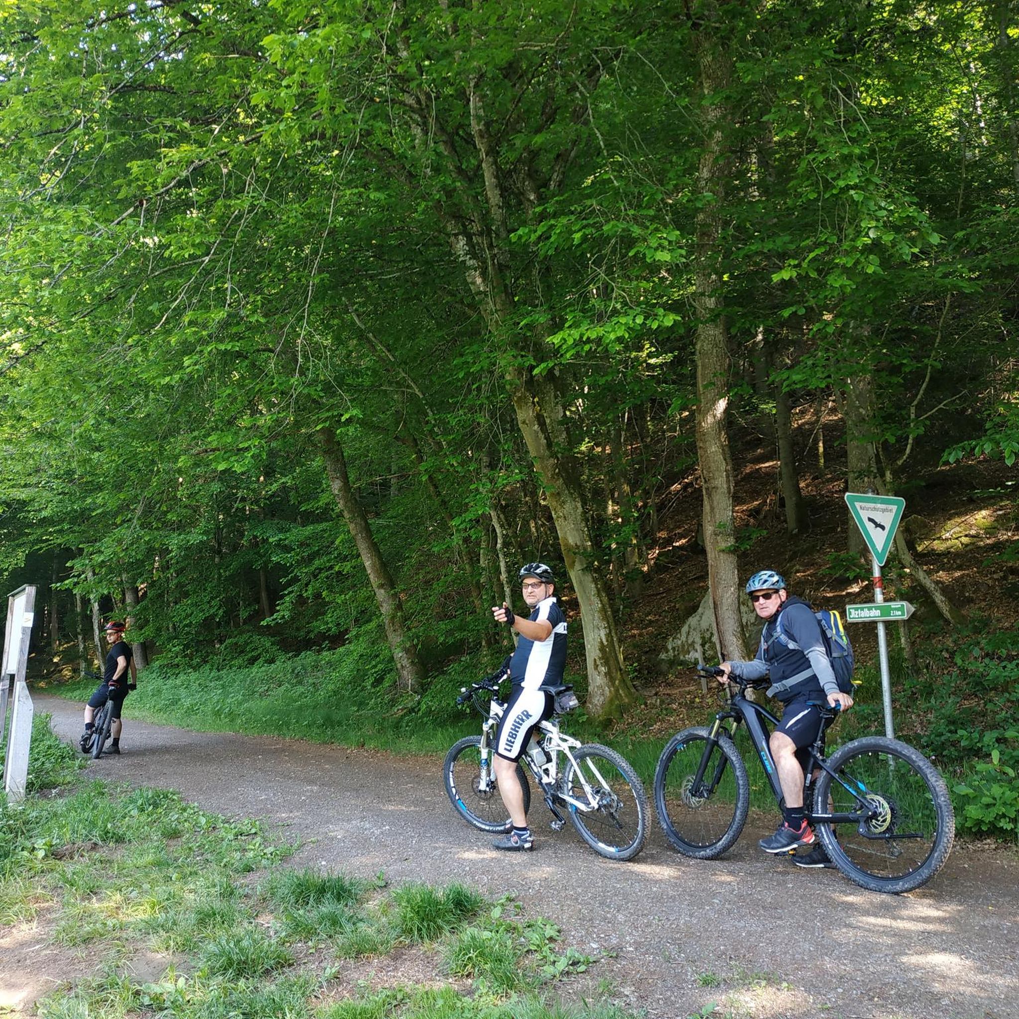
Tips from the Community

On July 8, 1951, at the initiative of forest chief Otto Korn, a memorial was inaugurated at the Kreuzbuche for employees of the forestry administration who fell in World War II. The monument, financed by donations from employees of the forestry administration, consists of a 2.50-meter-high memorial stone and a 12-meter-high wooden cross, made from a 15-meter-long oak trunk that cost 344 German marks at the time. Carved into the crossbeams is In hoc signo vince (Latin for: "Conquer under this sign"). The Wealden sandstone, worked by the Egestorf stonemason Karl Sondershausen, bears 10 names of the fallen or missing on the front and another 6 names subsequently chiseled on its left side, and on its back a quote from the Gospel of John. Source: https://de.wikipedia.org/wiki/Kreuzbuche_(Barsinghausen)
1
0

You can eat very well 🥘 or just take a short break with coffee and cake 🍰 after hiking 🥾 in the Deister or cycling 🚴♂️
0
0
On a snowshoe hike, the Wallmannhütte in the Deister hills becomes a quiet, almost magical place. Surrounded by snow-covered forest, it offers a welcome break where you can pause for a moment and enjoy the winter tranquility.
1
0

Next to the construction sites for the State Garden Show is the idyllic NABU Oasis, worth a visit.
0
0
Originally, where the Mooshütte is today, there was a shelter made of sticks and moss, next to a small pond that was fed by the Hessian spring. As early as 1895, the innkeeper of the Königseiche in Bantorf, Fritz Hecht, had been running the restaurant at the spring with a horse and cart, and only when the weather was good. In 1924, Fritz Hecht had the building of today's Mooshütte built, but it only contained a bar and a kitchen and was only later converted to residential use. In 1940, an ice and storage cellar was built into the mountain behind the Mooshütte, which always had the same temperature in summer and winter. In 1951, the steel construction company Preussag began emergency mining facilities around the Mooshütte. In 1954, the hall was added to the left of the building. Five years later, the Mooshütte was taken over by the daughter of the innkeeper Friedolf Hecht and her family, the Watermann family, who continued to expand the Mooshütte. After mining ceased in 1960, the Watermann family had the washhouse converted into a guest house. In October 1998, the Mooshütte was purchased by the Flügge family from Schmarrie, who had been interested in the building for some time and were in negotiations with the previous owner. They immediately set about renovating the property. On May 1, 1999, the Mooshütte opened its doors as a restaurant for day trippers and hikers. Since then, the Mooshütte has once again enjoyed its traditionally lively popularity. In the 2000s, further extensive renovations took place. There were new extensions and further redesigns. Source: https://mooshuette.de/#hi
3
0
The Rodenberger Höhe rises west of the Heisterburg at 322 m above sea level. It is a trigonometric point for the national survey and the location for a tower with telecommunications equipment. About 600 meters northwest of this point you will find - still in the parcel of land of the same name - the Rodenberger Hütte, which is why many Deister hikers also call it the "Rodenberger Höhe". Source: https://guentherklapproth.hier-im-netz.de/nachtrag_5_rodenberger_hoehe.html
1
0

Trail to the mine
0
0
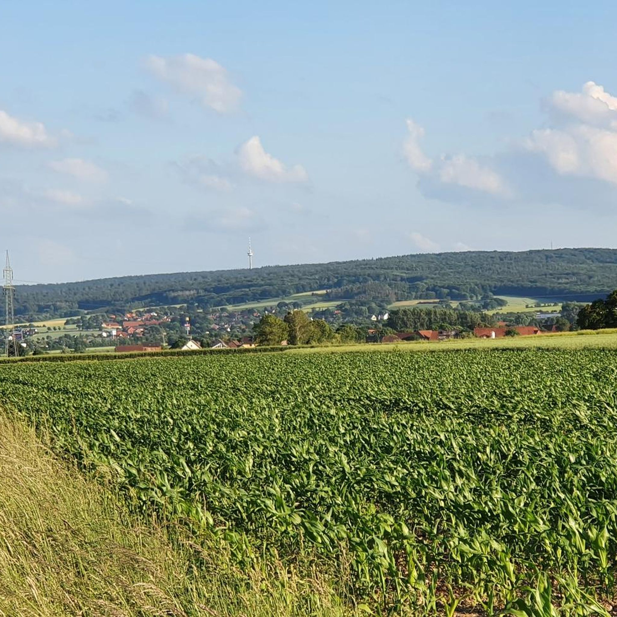
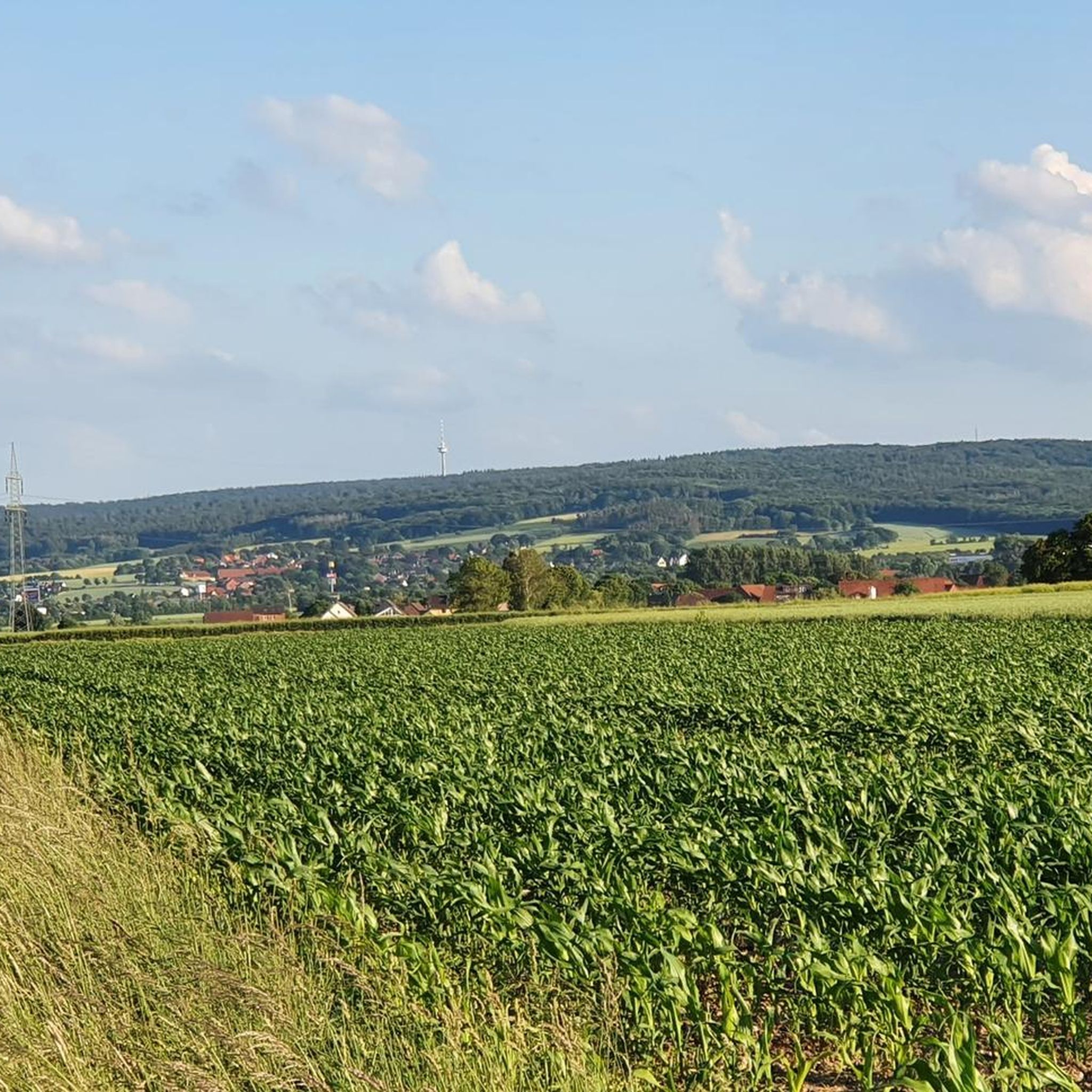
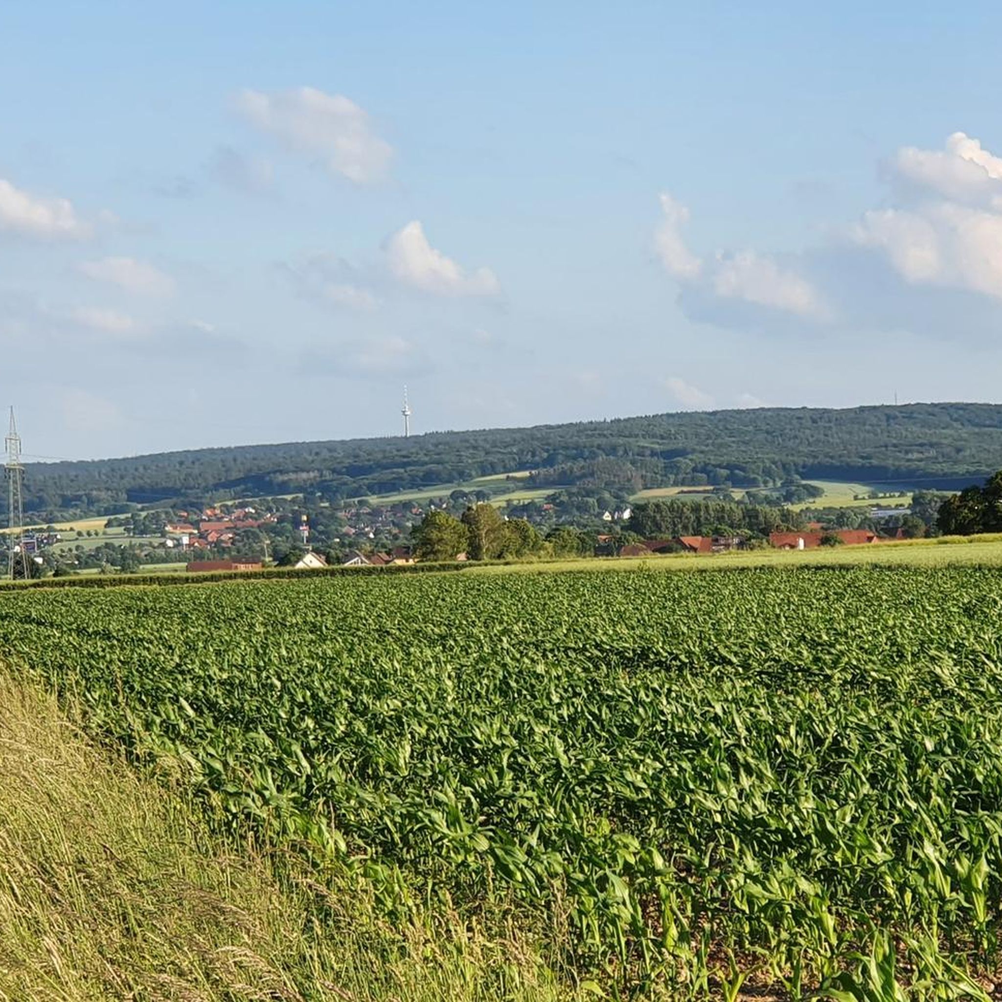
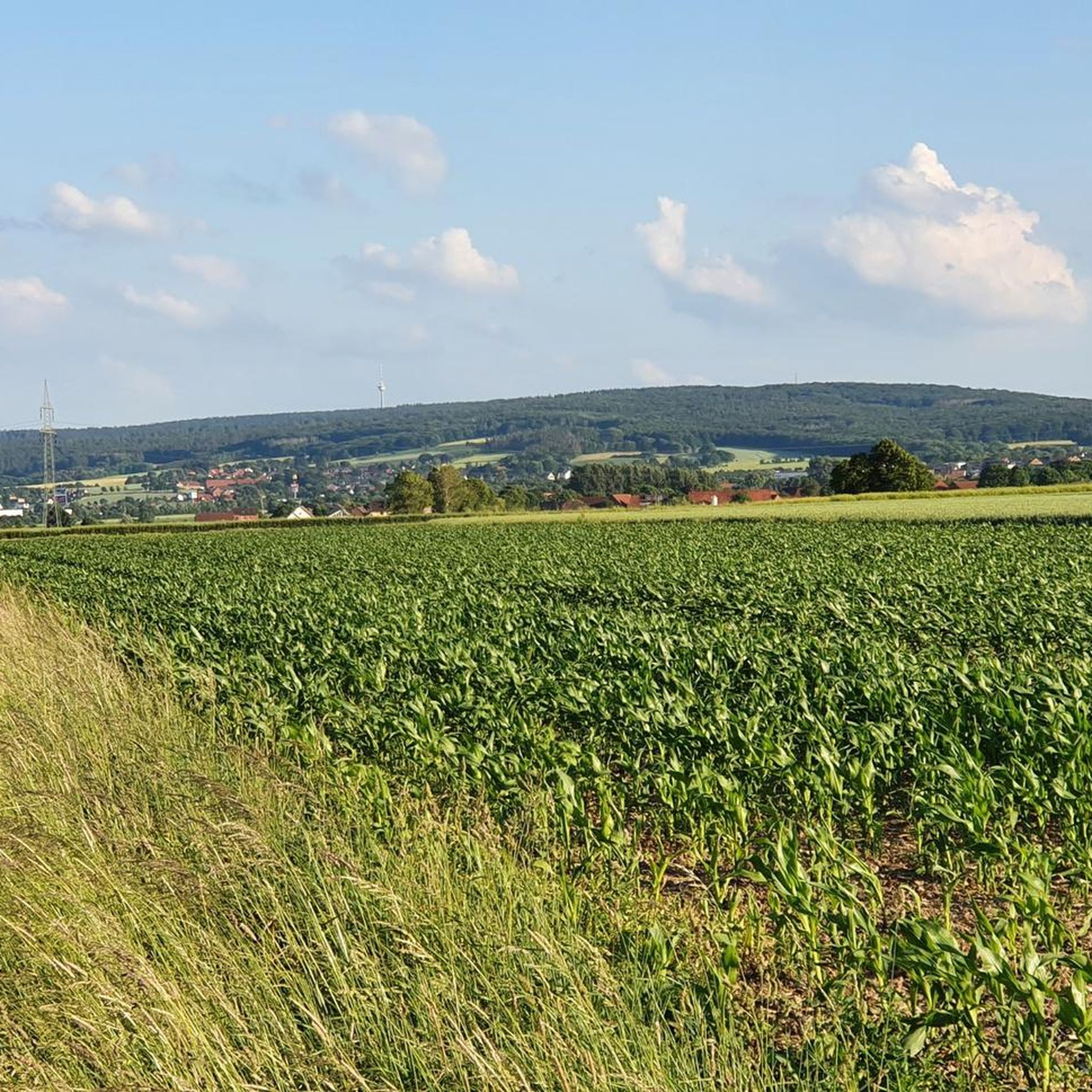
The Calenberger Land is a historical landscape that included Neustadt am Rübenberge, Hanover and Hameln. Today the name is mostly used as a regional name for the much smaller southwest of the Hanover region, where Calenberg Castle is located. It is separated to the east and north by the Leine and Mittelland Canal and bounded to the southwest by the Deister and to the south by the Kleiner Deister, both of which are largely still part of it. The Calenberger Land region community association does not consist of all of these communities. Source: https://de.wikipedia.org/wiki/Calenberger_Land
2
1
Frequently Asked Questions
How many gravel bike trails are available around Suthfeld?
Suthfeld offers a wide selection of gravel bike trails, with over 100 routes to explore. These range in difficulty from easy to difficult, ensuring options for various skill levels.
Are there gravel bike trails suitable for beginners in Suthfeld?
Yes, Suthfeld has nearly 30 easy gravel bike trails. These routes often feature gentler terrain, allowing new riders to enjoy the scenic Calenberger Land without overly challenging climbs.
What are some challenging gravel bike routes for advanced riders?
For experienced gravel bikers seeking a challenge, routes like the Bad Nenndorf Spa Park – Belvedere Tower (Strutzberg Tower) loop from Bad Nenndorf offer significant elevation gain and varied terrain. This particular route is 22.2 miles (35.8 km) long and features substantial climbs.
Are there any circular gravel bike routes in Suthfeld?
Many of the gravel bike routes around Suthfeld are designed as loops, allowing you to start and end at the same point. An example is the View of Bantorf – Old Baptismal Font loop from Bantorf, a moderate 13.1 miles (21.0 km) trail.
What kind of attractions can I see along the gravel bike trails?
The region offers a mix of natural beauty and historical points of interest. You might encounter highlights such as the View of Wilhelmstein Island or the Historic Village of Steinhude, especially on routes near Lake Steinhude. Some trails also pass by the Barsinghausen Telecommunications Tower.
Are there family-friendly gravel cycling routes in Suthfeld?
While many routes feature rolling hills and elevation changes, there are options suitable for families. Look for routes with lower difficulty ratings and shorter distances, which often traverse more gentle, forested sections or open landscapes, providing a pleasant experience for all.
What is the best time of year for gravel biking in Suthfeld?
The spring and autumn months are generally ideal for gravel biking in Suthfeld, offering pleasant temperatures and vibrant scenery. While summer is also an option, be prepared for warmer weather. Winter riding is possible, but conditions can be challenging with potential for mud or ice on trails.
Are there gravel bike routes with pub stops or places to refuel?
Many routes in the Suthfeld area pass through or near villages and towns, providing opportunities to stop at local eateries or pubs. While specific pub stops aren't always marked on every trail, planning your route through settlements like Bad Nenndorf or Bantorf will offer options for refreshments.
What do other gravel bikers enjoy most about Suthfeld's trails?
The komoot community highly rates the gravel biking experience in Suthfeld, with an average score of 4.6 stars from nearly 100 reviews. Riders often praise the diverse landscape, challenging passes, and scenic viewpoints across the Calenberger Land, as well as the well-maintained forest paths.
Are there any gravel bike routes that pass by lakes?
Yes, you can find routes that incorporate the region's lakes. For example, the Heidorn Lake – Lönssee loop from Bad Nenndorf is a moderate 27.5 miles (44.3 km) trail that takes you past these scenic water bodies, offering beautiful views and a different riding experience.
How long are the gravel bike trails near Suthfeld?
The length of gravel bike trails in Suthfeld varies significantly. You can find shorter routes around 13 miles (21 km), such as the View of Bantorf – Old Baptismal Font loop from Bantorf, up to longer, more challenging rides exceeding 36 miles (58 km), like the Nienstedter Pass – View of the Calenberger Land loop from Bad Nenndorf.
Are there options for parking at the trailheads?
Many gravel bike routes in Suthfeld start from towns or designated parking areas, making it convenient to access the trails. For instance, routes originating from Bad Nenndorf or Bantorf typically have accessible parking facilities nearby, allowing you to easily begin your ride.
Most popular attractions around Suthfeld

Get inspired with the komoot mobile app


Explore more
Browse the best Gravel rides in other regions.
