The best gravel rides around Sengerich
4.7
(7)
35
riders
16
rides
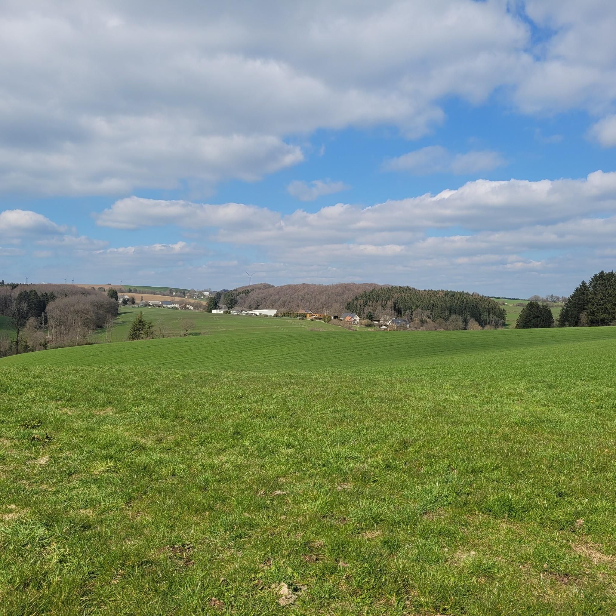
Gravel biking around Sengerich features a landscape characterized by dense forests, river valleys, and rolling hills. The region offers varied terrain, including former railway lines and forest paths, suitable for gravel cycling. Elevation changes are common, with routes often traversing multiple hills and valleys. This area provides a mix of natural surfaces and well-maintained tracks for gravel bike exploration.
Best gravel bike trails around Sengerich
- The most popular gravel bike trail is Vennbahn Rail Trail – View of Burg Reuland…
Last updated: July 2, 2026
5.0
(2)
8
riders
41.9km
02:47
690m
690m
Hard gravel ride. Very good fitness required. Mostly paved surfaces. Suitable for all skill levels.
4.0
(1)
3
riders
34.2km
02:37
670m
670m
Hard gravel ride. Very good fitness required. Mostly paved surfaces. Suitable for all skill levels.

Sign up for free
4
riders
34.5km
02:57
590m
590m
Hard gravel ride. Very good fitness required. Mostly paved surfaces. Suitable for all skill levels.
3
riders
45.5km
02:43
630m
630m
Hard gravel ride. Very good fitness required. You may need to push your bike for some segments of this route.
1
riders
Moderate gravel ride. Good fitness required. Mostly paved surfaces. Suitable for all skill levels.
Get access to more routes and recommendations from other explorers.
Sign up for free
Already have an account?
Our route recommendations are based on thousands of hikes, rides, and runs completed by other people on komoot.
Start today with a free account
Your next adventure awaits.
Login or Signup
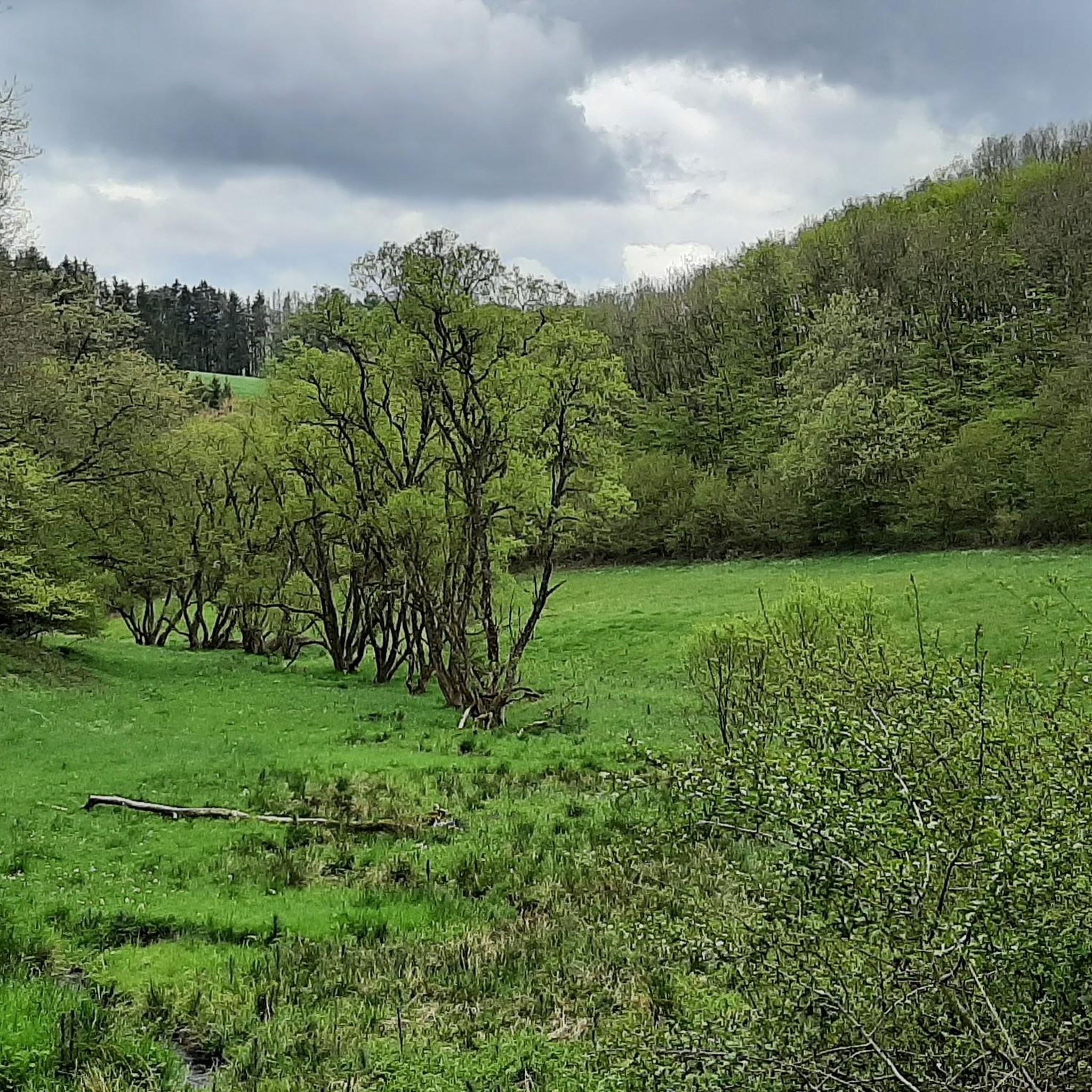
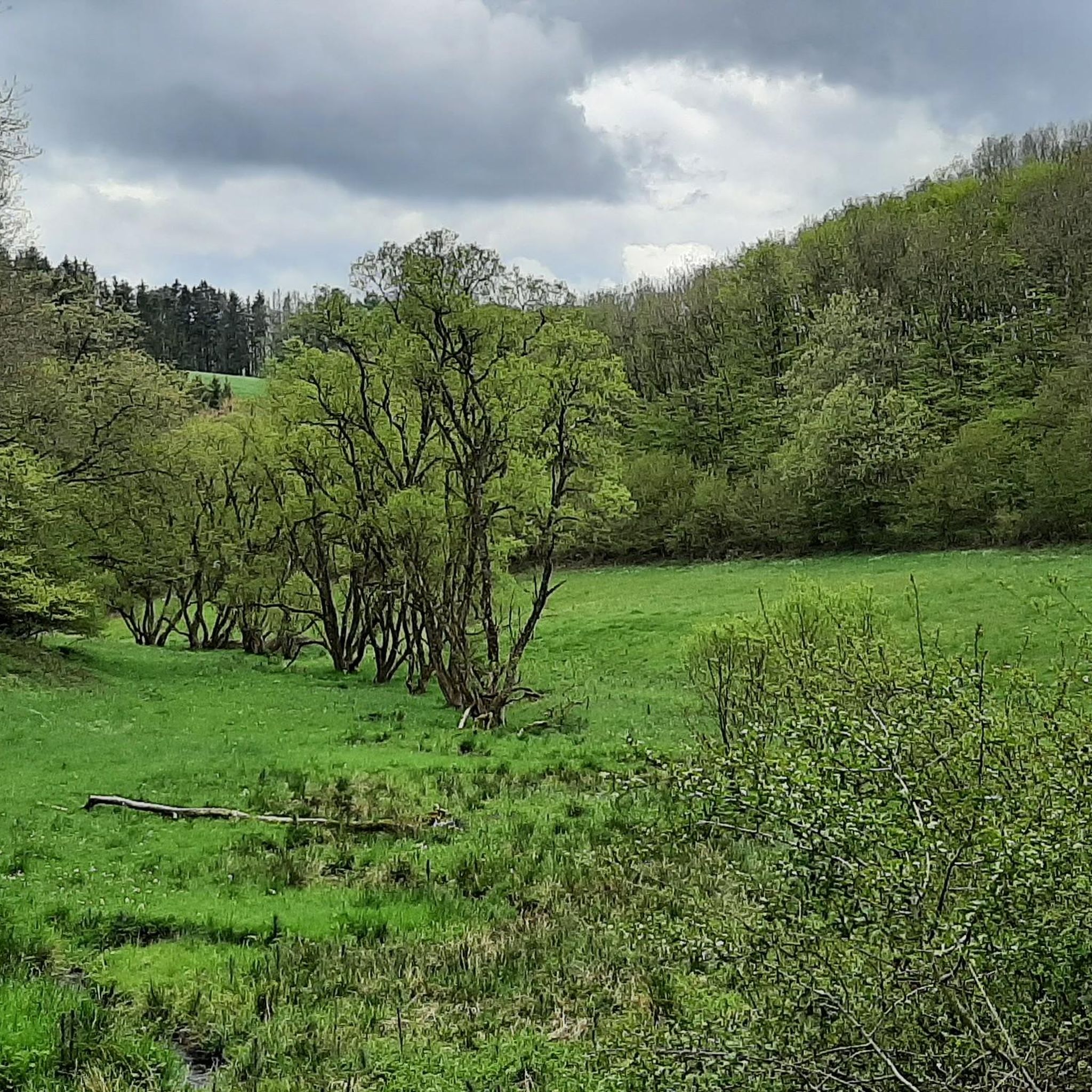
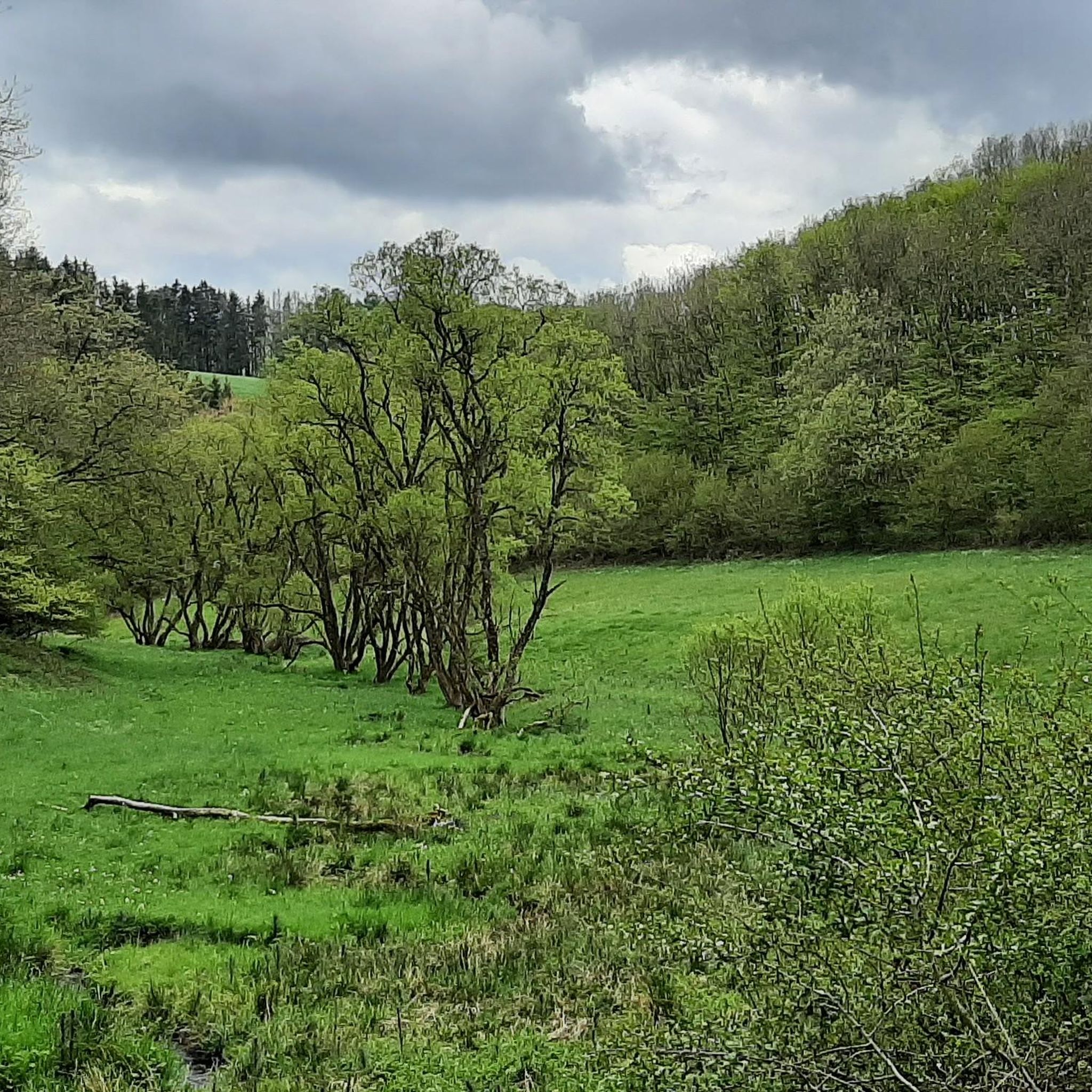
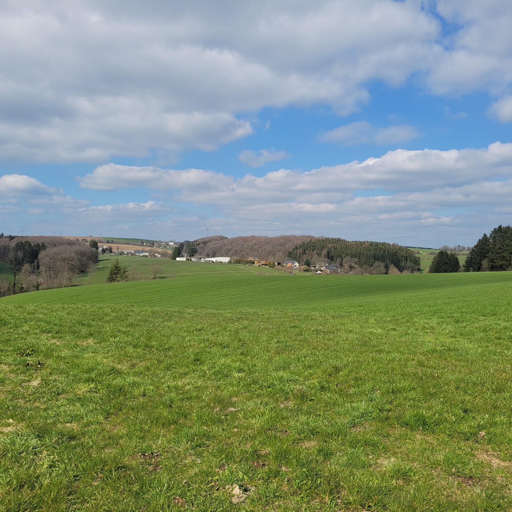
Tips from the Community

The path is marked as passable by bike. Depending on the weather conditions, it is not an entirely easy path to ride.
0
0

You can go up on the left or right (depending on the direction of travel) and onto the bridge. Worth it for a short break or lunch
0
0

Impressive lost places. Definitely worth a visit.
1
0

Üttfeld was a railway station with a French military tank depot
0
0

Very nice corner for strolling
0
1


Great spot to take a break there
0
0
Nice spot for a break
0
0
Frequently Asked Questions
How many gravel bike trails are available around Sengerich?
The Sengerich region offers a diverse network of over 15 gravel bike trails. These routes traverse dense forests, river valleys, and rolling hills, providing varied terrain for exploration.
What is the general difficulty level of gravel biking in Sengerich?
Gravel biking in Sengerich typically ranges from moderate to difficult. While there are no easy routes listed, you'll find 8 moderate and 9 difficult trails, often featuring challenging climbs and descents through the hilly landscape.
Are there any challenging gravel routes for experienced riders?
Yes, for experienced riders seeking a challenge, Sengerich offers several difficult routes. One notable option is the Vennbahn Rail Trail – View of Burg Reuland loop from Heinerscheid, a 26.0-mile (41.9 km) path utilizing sections of the historic Vennbahn Rail Trail with significant elevation changes.
What kind of terrain can I expect on gravel bike trails in Sengerich?
You can expect a mix of dense woodlands, river valleys, and rolling hills. Many routes incorporate former railway lines and forest paths, offering both natural surfaces and well-maintained tracks. Elevation changes are common throughout the region.
Are there any circular gravel bike routes in the Sengerich area?
Yes, all the featured gravel bike routes around Sengerich are designed as loops, allowing you to start and finish at the same point. For example, the popular Our Bridge between the countries – Forest Path Near Lommersweiler loop from Eigelscheid is a 37.0-mile (59.5 km) circular trail.
What do other gravel bikers enjoy most about the trails in Sengerich?
The gravel biking routes in Sengerich are highly rated by the komoot community, with an average score of 4.7 stars. Riders often praise the varied terrain, the scenic beauty of the river valleys and forests, and the challenging nature of the climbs and descents.
Are there any scenic viewpoints or natural attractions along the gravel trails?
Yes, the region offers several natural and historical attractions. You might encounter highlights such as the European Monument at the Three-Country Point or the serene Alfbach Valley. The Our Valley – Forest Path Near Lommersweiler loop from Eigelscheid specifically leads through river valleys and dense woodlands, offering picturesque views.
What are some historical or cultural points of interest near the gravel routes?
Beyond natural beauty, you can explore historical sites like the Pronsfeld railway station and vintage locomotive or the Pronsfeld Open-Air Railway Museum. The Daleiden War Cemetery – Wooden Bridge Over the Irsen loop from Eschfeld also offers a reflective historical point of interest.
Are there any routes that are particularly good for a longer day out?
For a longer day out, consider the Our Bridge between the countries – Forest Path Near Lommersweiler loop from Eigelscheid. At 37.0 miles (59.5 km) and taking over 4 hours to complete, it's one of the longer options, navigating extensive forest paths and natural features.
Can I find less crowded gravel biking options in Sengerich?
While Sengerich's trails are generally well-regarded, to find potentially less crowded options, consider exploring routes that venture deeper into the forest or less-trafficked river valleys. The Ouren – Rest Area by the Stream loop from Burg Ouren, for instance, offers a journey through varied landscapes that might provide a quieter experience.
What is the best season for gravel biking in Sengerich?
While specific seasonal recommendations aren't provided, the varied terrain of forests and river valleys suggests that spring and autumn would offer pleasant temperatures and beautiful scenery. Summer can also be enjoyable, especially on shaded forest paths, while winter conditions might require more caution due to potential ice or snow.
Most popular attractions around Sengerich

Get inspired with the komoot mobile app


Explore more
Browse the best Gravel rides in other regions.
