The best gravel rides around Gailingen am Hochrhein
4.4
(51)
260
riders
69
rides
Gravel biking around Gailingen am Hochrhein offers diverse terrain along the High Rhine and into the Hegau region. The landscape features serene riverbank paths, rolling hills with distinctive volcanic formations, and forested areas in the foothills of the Black Forest. Vineyards also contribute to the varied routes, providing a mix of surfaces suitable for gravel bikes.
Best gravel bike trails around Gailingen am Hochrhein
- The most popular gravel bike trail is Hagenturm Observation Tower – View of the Alps from Randen loop from Schlatt, a 35.6 miles (57.3 km) trail that takes 3 hours 39 minutes to complete. This difficult route offers views towards the Alps from the Randen hills.
- Another top favourite among local gravel bikers is View of Diessenhofen loop from Herblingen, a moderate 23.2 miles (37.3 km) path. This route features views of Diessenhofen and the surrounding landscapes.
- Local gravel bikers also love the Thur Bridge near Andelfingen – Diessenhofen loop from Herblingen, a 44.6 miles (71.8 km) trail leading through riverine landscapes, often completed in about 4 hours 2 minutes.
- Gravel biking around Gailingen am Hochrhein is defined by river valleys, volcanic hills, and forested areas. The network offers options for different ability levels, from moderate rides to more challenging routes with significant elevation gains.
- The routes in Gailingen am Hochrhein are highly rated by the komoot community with an average score of 4.4 stars from over 50 reviews. More than 260 gravel bikers have used komoot to explore Gailingen am Hochrhein's varied terrain.
Last updated: May 20, 2026
4.5
(8)
27
riders
Hard gravel ride. Very good fitness required. Mostly paved surfaces. Suitable for all skill levels.
4.3
(6)
18
riders
37.3km
02:11
270m
270m
Moderate gravel ride. Good fitness required. Mostly paved surfaces. Suitable for all skill levels.

Sign up for free
4.5
(2)
22
riders
16.8km
00:52
110m
110m
Easy gravel ride. Great for any fitness level. Mostly paved surfaces. Suitable for all skill levels.
5.0
(1)
9
riders
71.8km
04:03
580m
580m
Hard gravel ride. Very good fitness required. You may need to push your bike for some segments of this route.
5.0
(2)
3
riders
Moderate gravel ride. Good fitness required. Mostly paved surfaces. Suitable for all skill levels.
Get access to more routes and recommendations from other explorers.
Sign up for free
Already have an account?
Our route recommendations are based on thousands of hikes, rides, and runs completed by other people on komoot.
Start today with a free account
Your next adventure awaits.
Login or Signup
Popular around Gailingen am Hochrhein
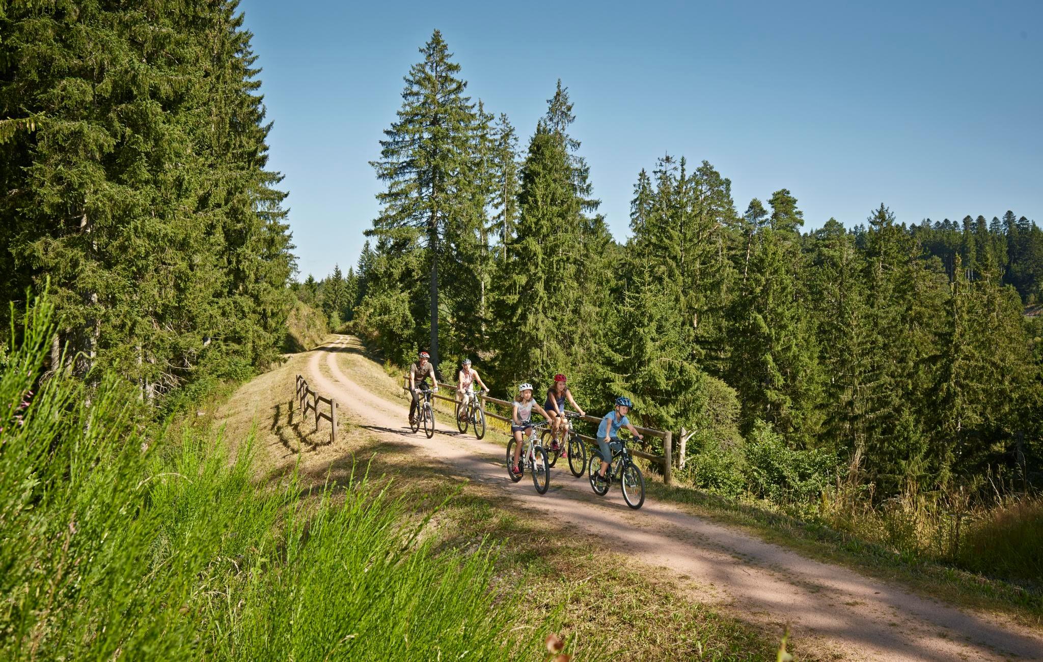
Green firs and valley views – long-distance cycling routes in the Black Forest
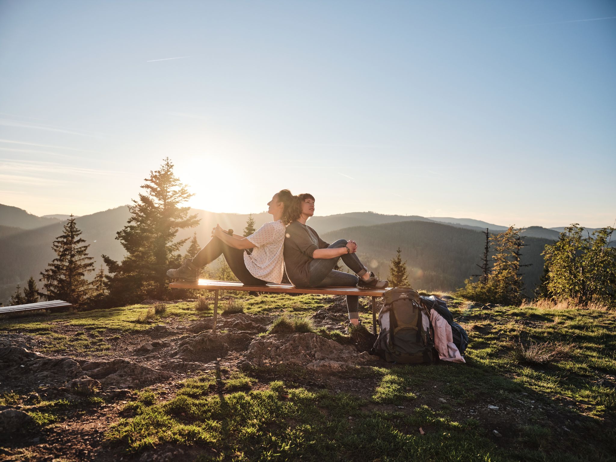
Hiking the Süden – between Black Forest, Lake Constance and Swabian Alb
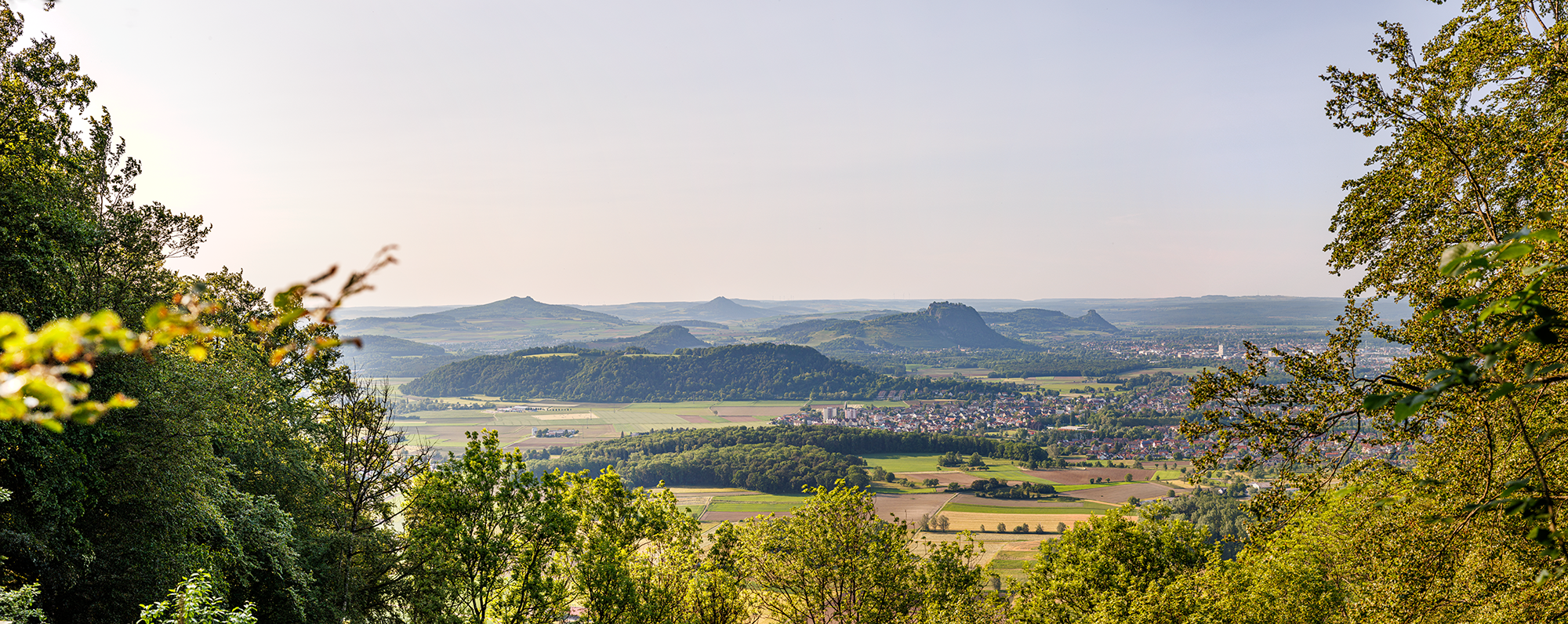
Between Islands and Volcanoes – premium hiking in Western Lake Constance
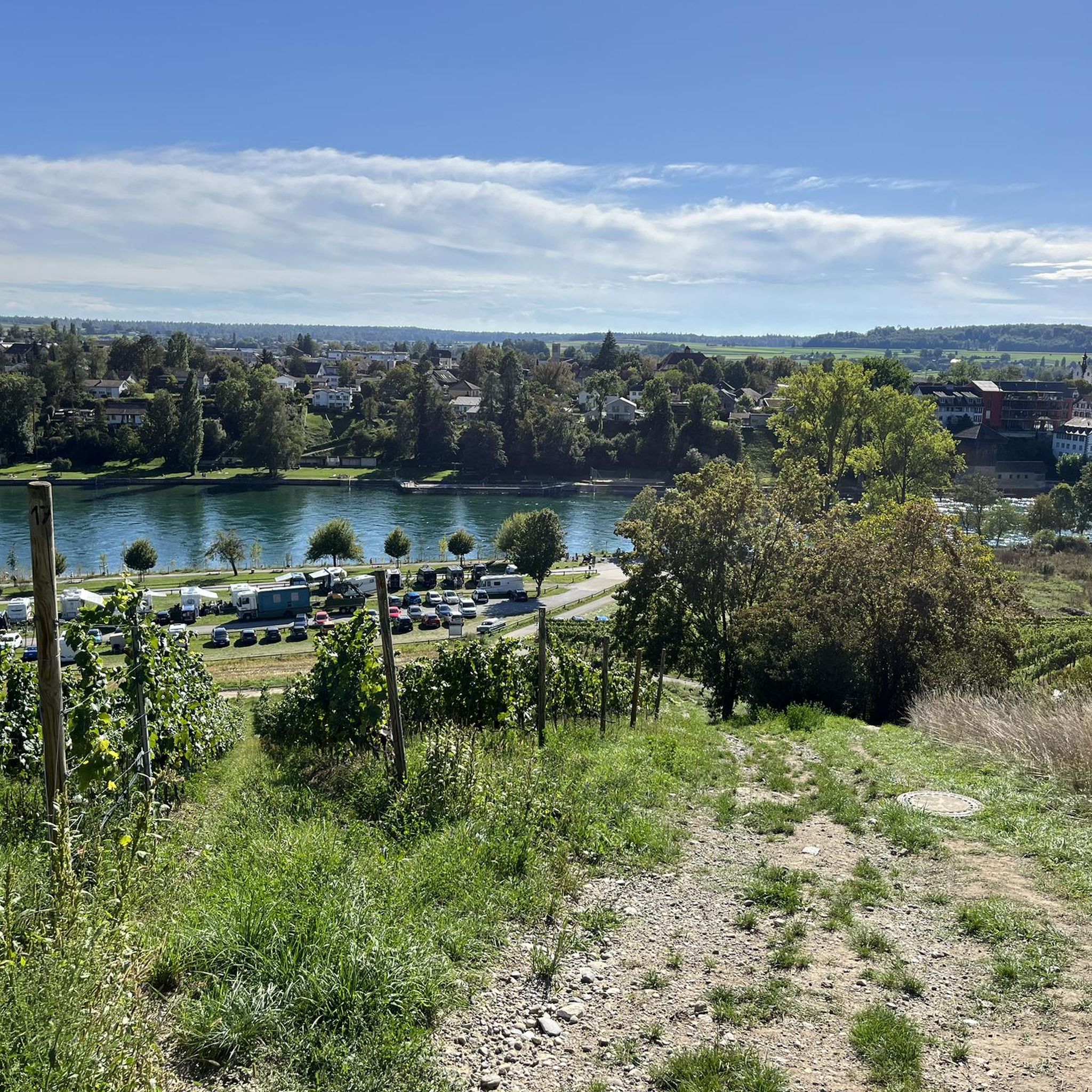
Hiking around Gailingen am Hochrhein
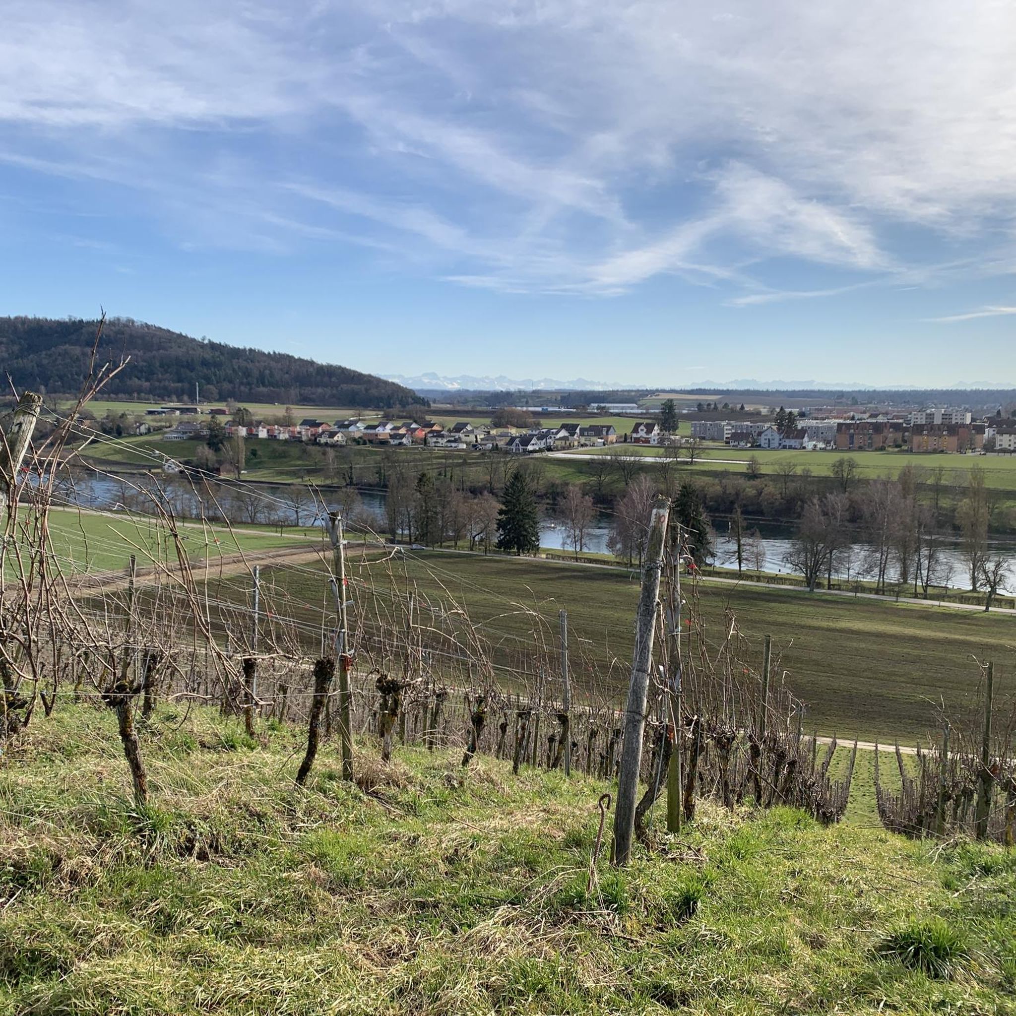
MTB Trails around Gailingen am Hochrhein
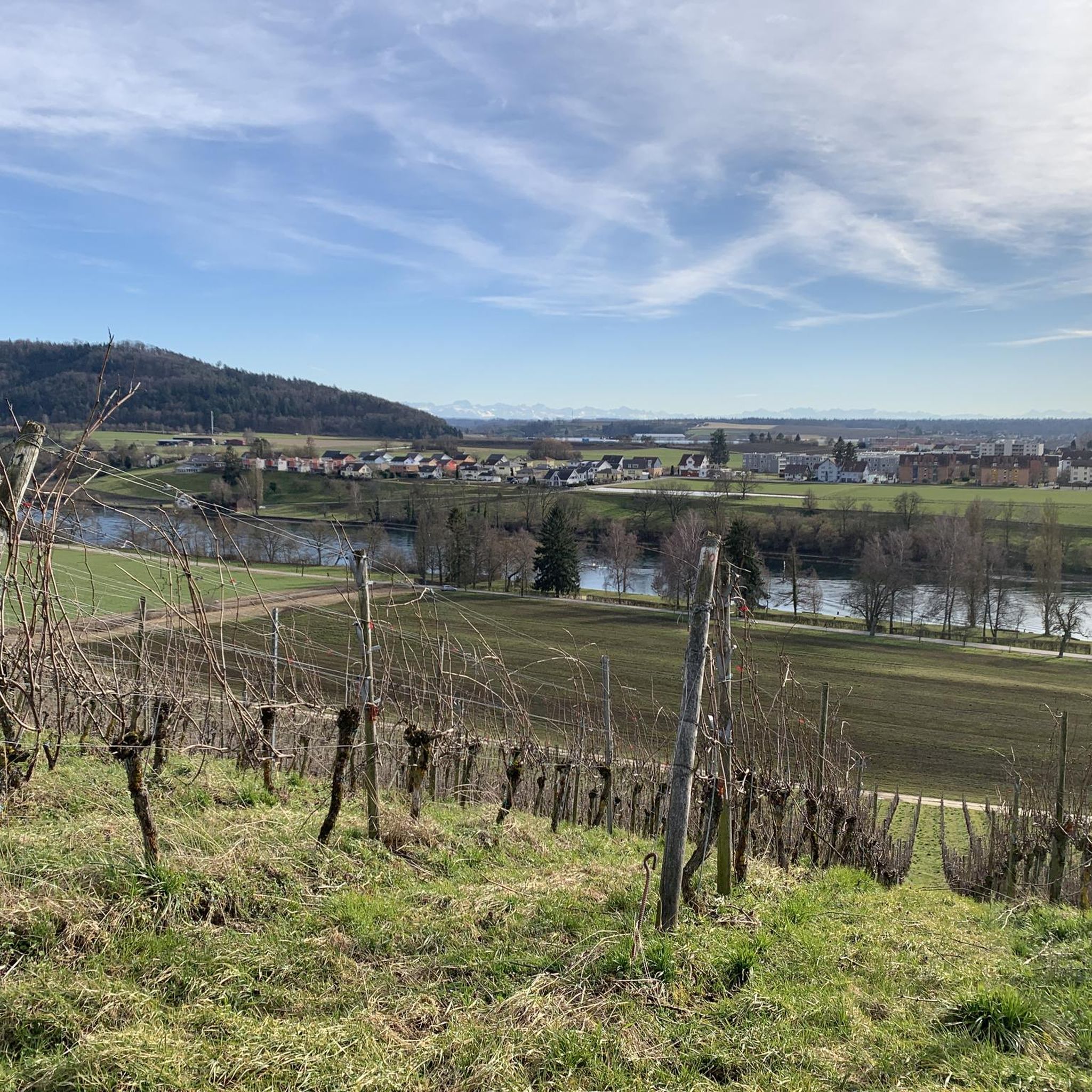
Road Cycling Routes around Gailingen am Hochrhein
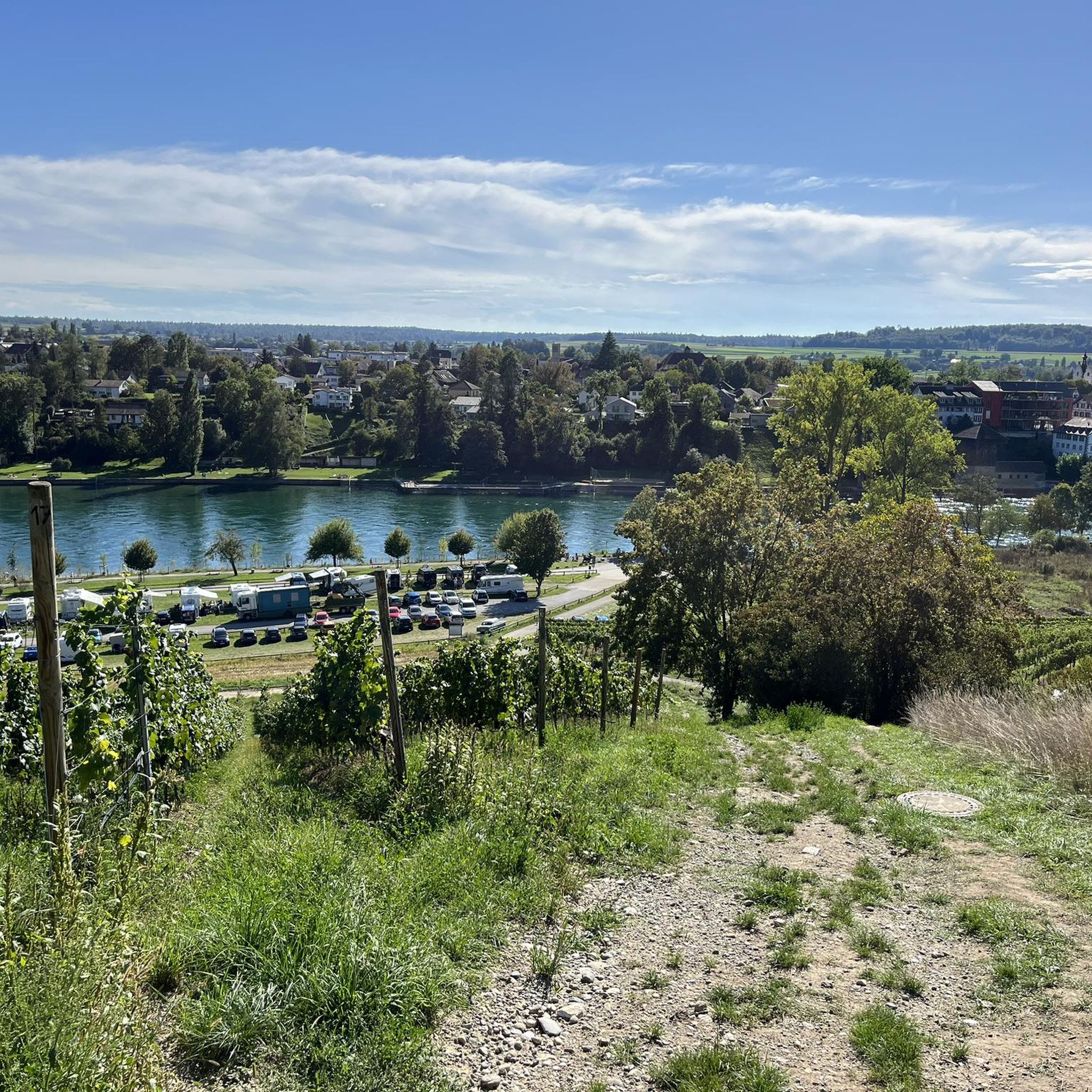
Running Trails around Gailingen am Hochrhein
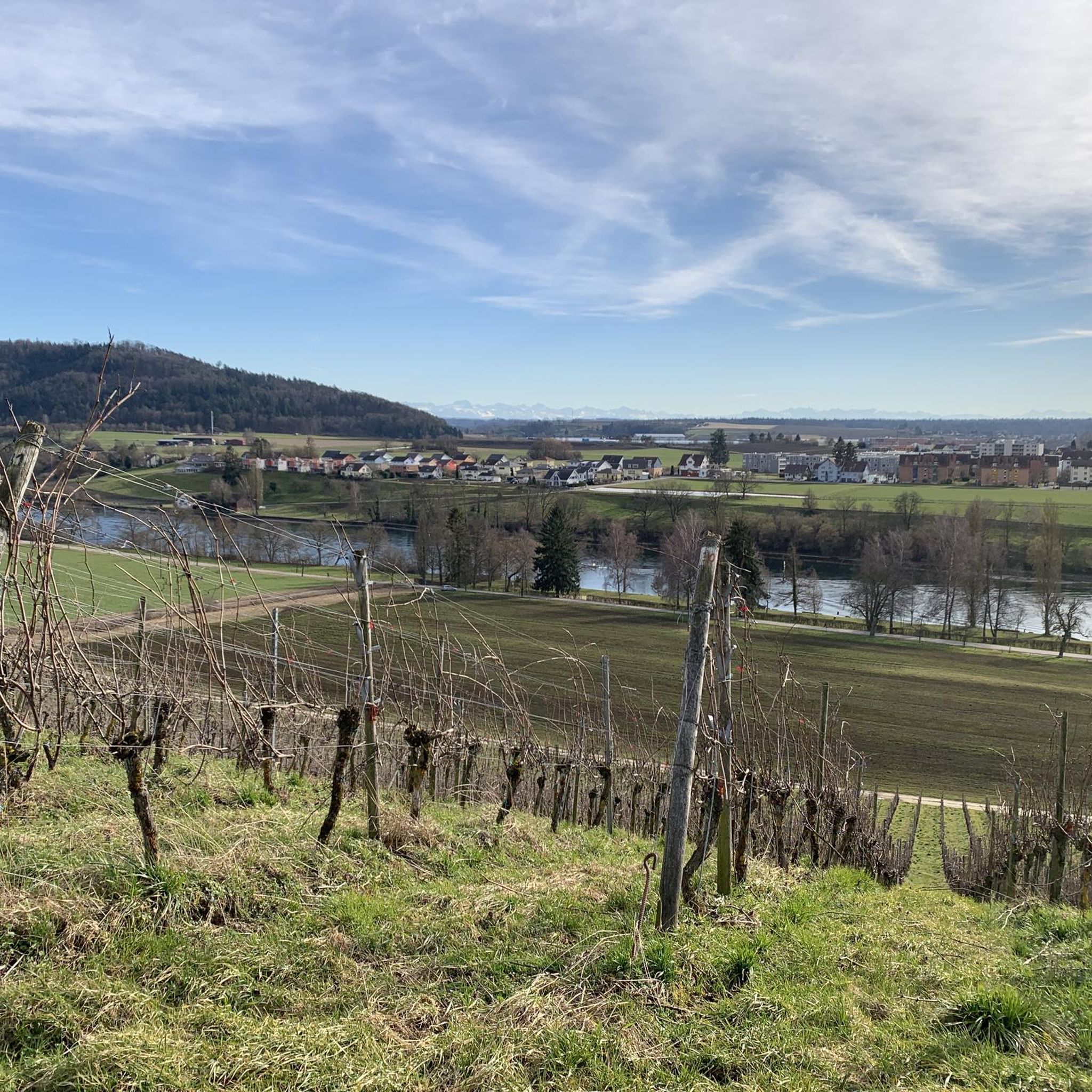
Cycling around Gailingen am Hochrhein
Other adventures around Gailingen am Hochrhein


Tips from the Community

How imposing this fortress is, perched above the Rhine.
0
0
A very beautiful cycling/hiking route along the Rhine, the scenery is truly top-notch.
0
0

a very beautiful old wooden bridge
0
0

Beautiful spot 🌎
1
0
Such a beautiful piece of earth
1
0

Not quite near Schaffhausen, although it's on the way there. It's great to drive there, far away from the noise of cars.
0
0
nice little town
0
1
Cute little place
0
1
Frequently Asked Questions
What kind of terrain can I expect on gravel bike trails near Gailingen am Hochrhein?
Gailingen am Hochrhein offers a diverse mix of terrain perfect for gravel biking. You'll find serene riverbank paths along the High Rhine, rolling hills with volcanic formations in the Hegau region, and forested areas in the foothills of the Black Forest. Many routes also pass through picturesque vineyards, providing varied surfaces and scenic views.
How many gravel bike trails are available around Gailingen am Hochrhein?
There are over 110 gravel bike trails around Gailingen am Hochrhein, catering to various preferences and skill levels. This includes routes along the river, through volcanic landscapes, and into forested areas.
Are there options for different skill levels, from beginners to advanced riders?
Yes, the region offers a good range of difficulty levels. You'll find 12 easy routes for a relaxed ride, 58 moderate trails for those looking for a bit more challenge, and 46 difficult routes for experienced gravel bikers seeking significant elevation gains and technical sections.
What do other gravel bikers say about the trails in Gailingen am Hochrhein?
The gravel biking routes in Gailingen am Hochrhein are highly rated by the komoot community, with an average score of 4.6 stars from over 270 reviews. More than 870 gravel bikers have explored the area using komoot, often praising the varied terrain and scenic beauty.
Are there any circular gravel bike routes in the area?
Yes, many of the gravel routes around Gailingen am Hochrhein are designed as loops. For example, you could try the Nussbaumersee – Helfenberg Castle Ruins loop from Stammheim, a moderate 27.8 km ride, or the View of Ramsen with Picnic Area – View of Diessenhofen loop from Diessenhofen, another moderate 28.5 km option.
What are some notable natural attractions or landmarks I can visit on a gravel bike ride?
The region is rich in attractions. You can cycle to Europe's largest waterfalls, the Rhine Falls, or explore historic sites like the Helfenberg Castle Ruins. Many routes also offer views of the beautifully preserved old town of Stein am Rhein and its historic bridge.
Are there routes with good viewpoints?
Absolutely. The region is known for its panoramic vistas. You can find routes that lead to viewpoints offering expansive views over the Rhine valley, the Hegau region, and even as far as the Alps on clear days. The Hagenturm Observation Tower – View of the Alps from Randen loop from Schlatt is a great example, offering views towards the Alps from the Randen hills.
What is the best time of year for gravel biking in Gailingen am Hochrhein?
The spring and autumn months are generally ideal for gravel biking in Gailingen am Hochrhein, offering pleasant temperatures and beautiful scenery as the landscape changes. Summer is also great, especially for rides along the Rhine, though it can be warmer. Winter riding is possible, but be prepared for colder temperatures and potentially wet or icy conditions on some trails.
Are there any cross-border gravel routes into Switzerland?
Yes, Gailingen am Hochrhein's location directly on the Swiss border makes cross-border routes easily accessible. You can explore routes that take you into Switzerland, such as those around Diessenhofen, offering a unique international dimension to your ride and showcasing beautiful river landscapes and historic towns in both countries.
Where can I park my car when starting a gravel bike tour?
Many starting points for gravel bike tours in and around Gailingen am Hochrhein offer designated parking facilities. It's advisable to check the specific tour details on komoot for information on parking availability at the trailhead you plan to use.
Can I find family-friendly gravel bike trails near Gailingen am Hochrhein?
Yes, there are several family-friendly options, particularly along the High Rhine. These routes tend to be flatter and less challenging, offering a relaxed experience for all ages. Look for the 'easy' rated tours on komoot for suitable options.
Are there any long-distance gravel cycling routes from Gailingen am Hochrhein?
While many routes are day trips, the extensive network and proximity to the wider Lake Constance region allow for longer, multi-day gravel cycling adventures. You can link several routes together to create a long-distance journey, exploring the High Rhine, Hegau, and even parts of the Black Forest foothills.
Most popular routes around Gailingen am Hochrhein
Most popular attractions around Gailingen am Hochrhein

Get inspired with the komoot mobile app


Explore more
Browse the best Gravel rides in other regions.
